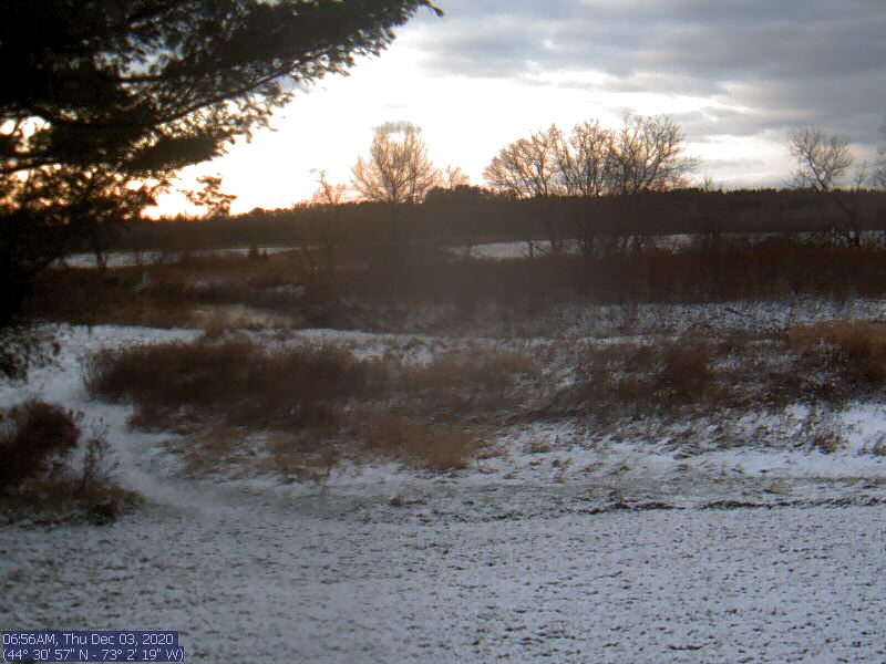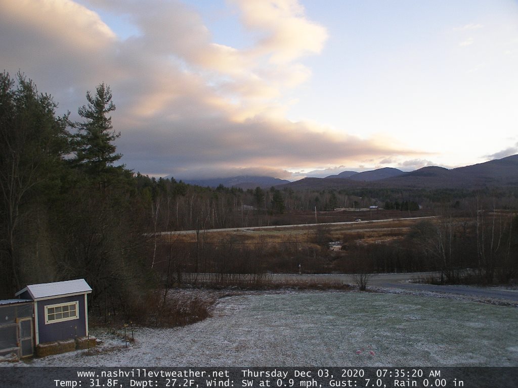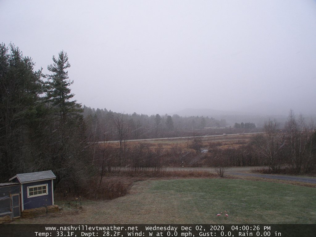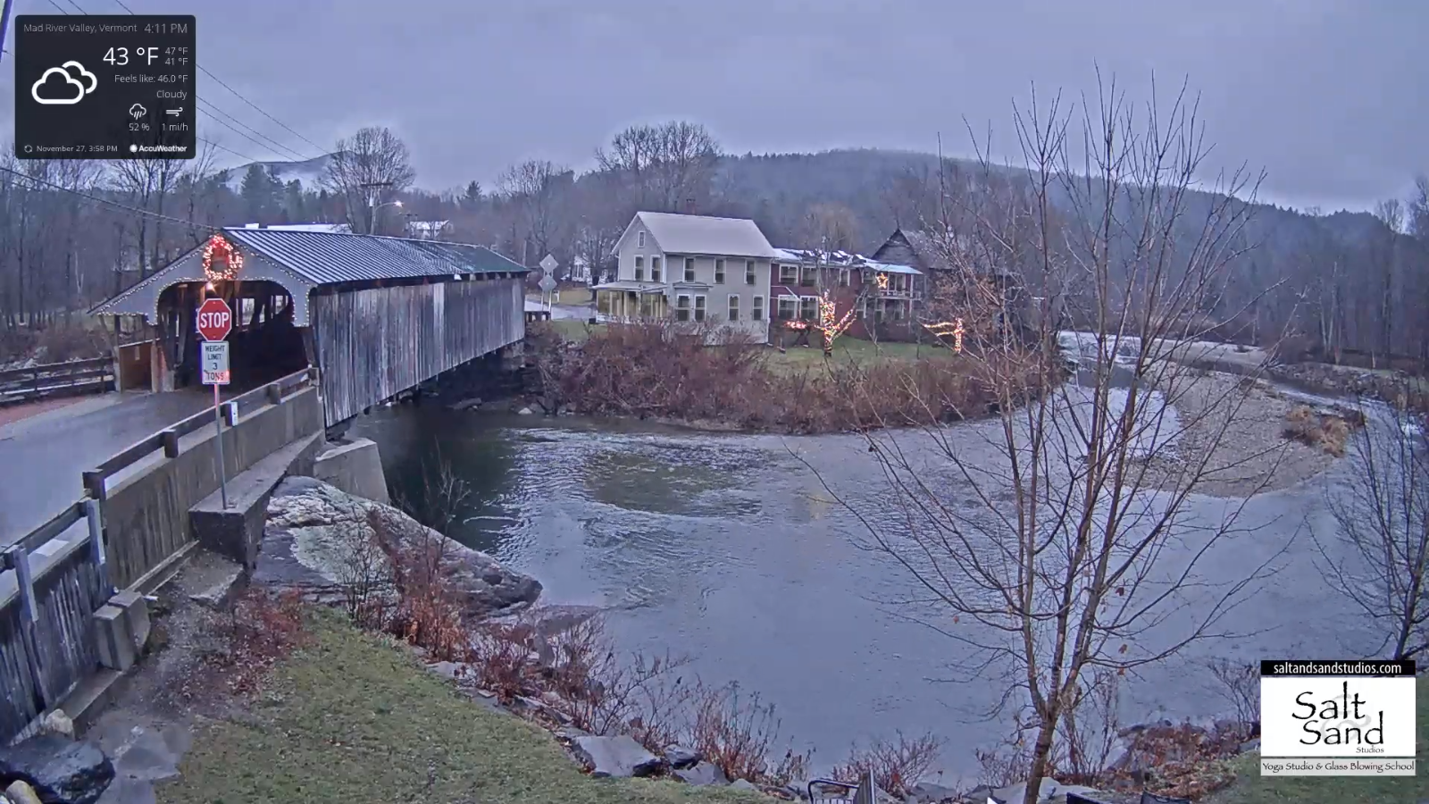
TODAY: Considerable cloudiness. Chance for sprinkles…mixed with wet snowflakes in the higher terrain becoming little more numerous later this afternoon. A high 40 to 45. South winds 10 mph.
TONIGHT: Cloudy. Chance for a few wet snow showers with a dusting elevated terrain this evening. A low 30 to 35. Light southwest winds.
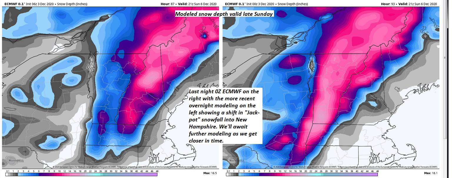
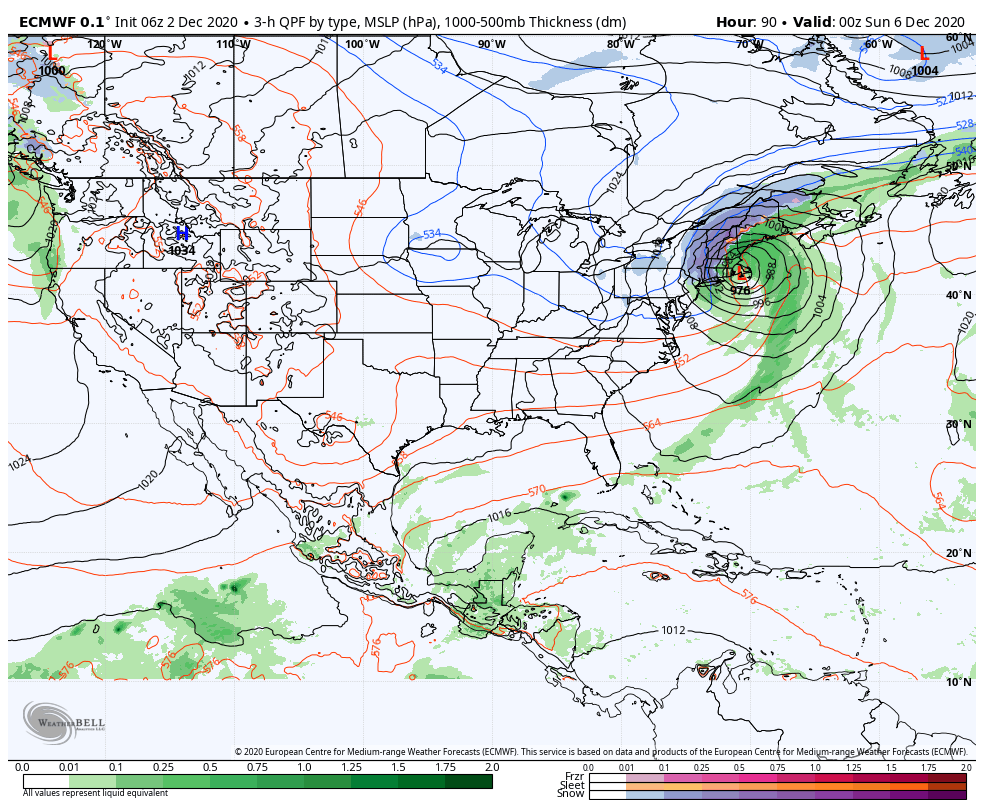
Winter Storm Watch Essex County late Saturday thru Sunday morning…
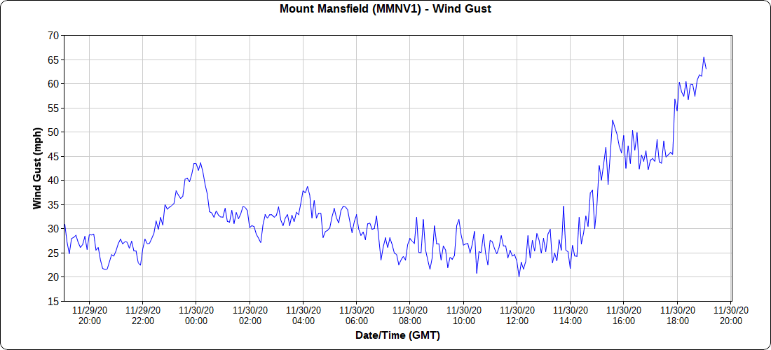
SATURDAY: Overcast. Light snow or snow showers developing east of the Green Mountains in the afternoon. A dusting to 2” with the most far eastern areas. Becoming blustery. A high in the mid to upper 30s. North winds 10 mph…picking up 10 to 25 mph late.
Looking further ahead…
SATURDAY NIGHT: Mainly cloudy & blustery. Periods of snow toward Barton, Island Pond and points east with accumulation 2 to locally 4” otherwise scattered flurries. A dusting to an inch east of the Greens. A low 20 to 25.
SUNDAY: Clouds mixed with Intervals of sun. Blustery & colder. A few lingering flurries far Northeast Kingdom. A high near 30.
MONDAY: Clouds with intervals of sun. A low near 20. A high upper 20s to near 30.
TUESDAY: Partly sunny. A low around 20. A high 25 to 30.
WEDNESDAY: Partly to mostly sunny in the morning. Clouding up northern areas. Chance for a snow shower or flurry. A low in the mid to upper teens. A high near 35.
Average low mid-teens to low-20s, Average highs mid to upper 30s.
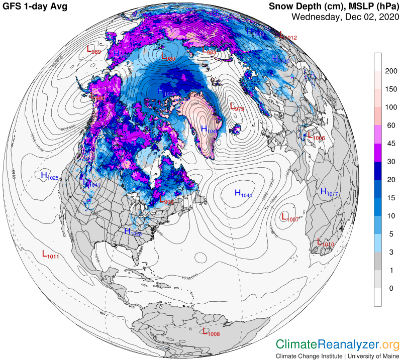
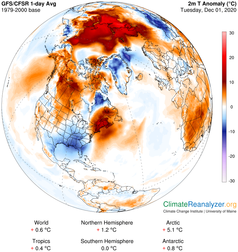
Meteorological winter begins December 12th. Peak of Winter (coldest averages) January 23rd. End of Winter March 9th… based off local climatology. Note* Conditions more variable due to a warming climate especially in the arctic.
RH/12-4 category forecast][end]