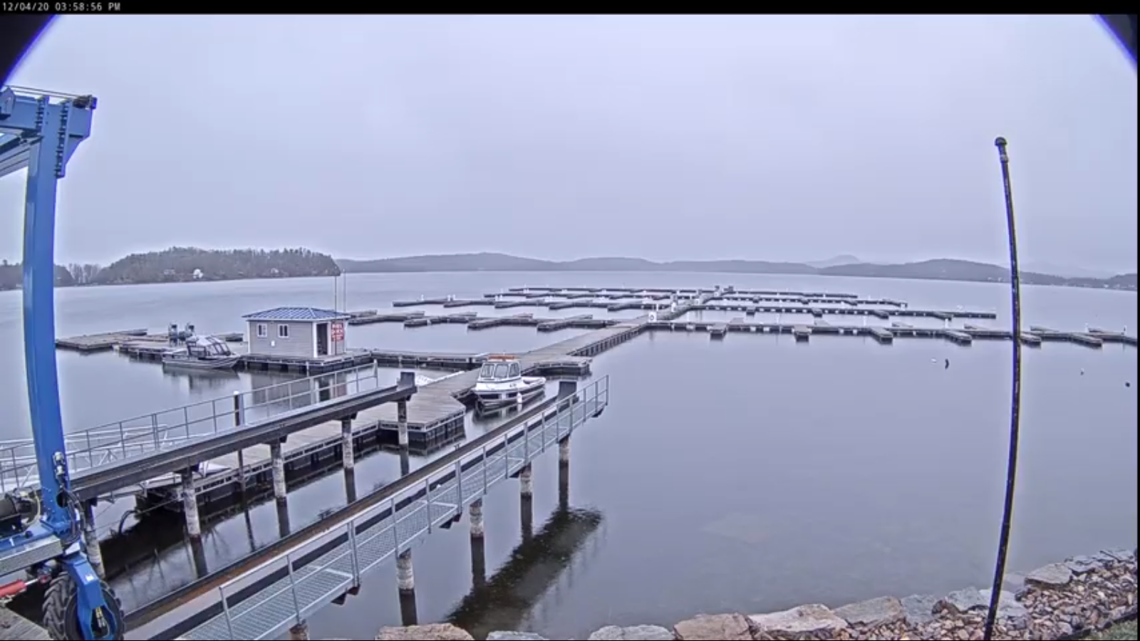
TODAY: Clouds, mixing with a few sunny periods & a little warmer. A high 40 to 45. South winds 10 mph.
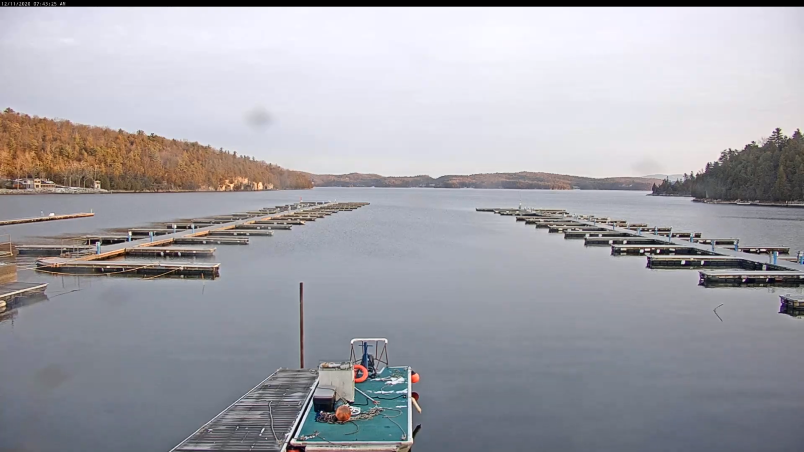
TONIGHT: Lots of clouds. Maybe a shower near the Quebec border late. A low around 30. Light winds.
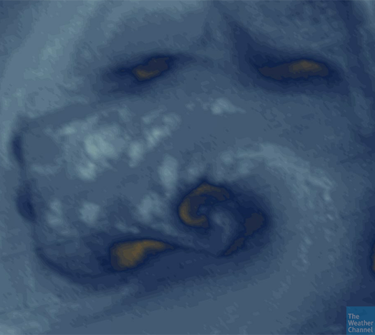
SATURDAY: Mainly gray. Widely scattered rain showers developing late.A high upper 30s to around 40. Light east winds.
Looking further ahead…
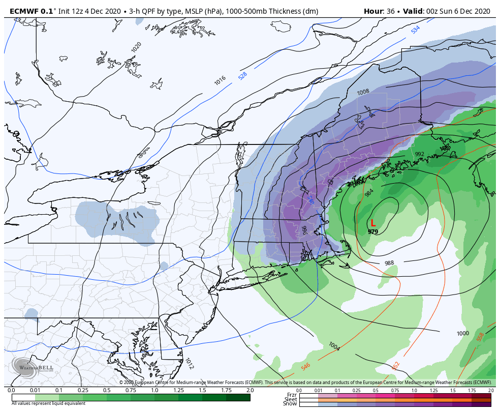
SATURDAY NIGHT: Cloudy. Spotty light rain…with a risk for pockets of freezing rain Northeast Kingdom valleys. Watch for possible icy spots. A low 32 to 35.
SUNDAY: Mainly cloudy. Scattered rain showers especially in the afternoon. Breezy to windy at times. A high around 45.
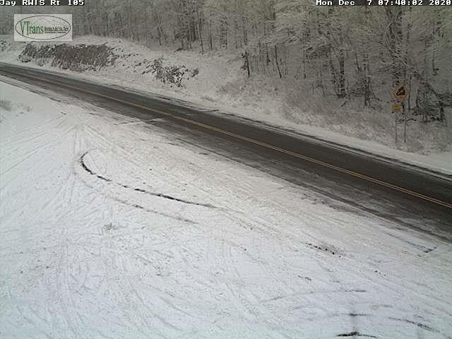
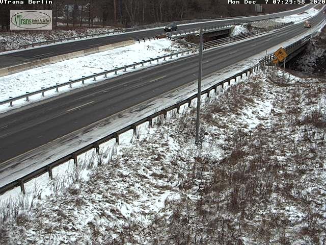
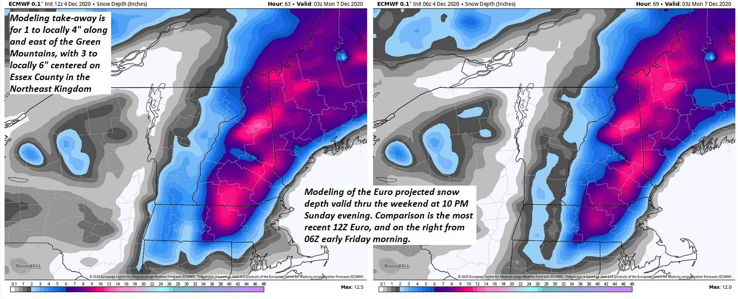
MONDAY: Lots of clouds. Widely scattered rain & wet snow showers minimal accumulation high terrain. A low 25 to 30. A high in the mid-30s.
TUESDAY: Maybe a morning mountain flurry, otherwise becoming partly sunny with a cooling trend. A low 15 to 20. A high near 32. Blustery northwest winds.
WEDNESDAY: Sunshine…giving way to high clouds. A low around 10. A high in the mid-20s.
Average low in the teens, Average highs in the low to mid 30s.
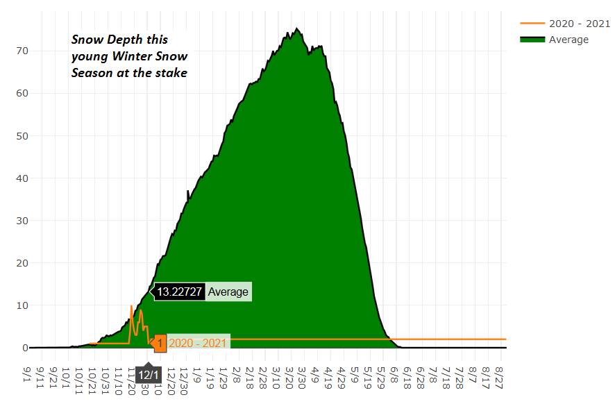
Meteorological winter begins December 12th. Peak of Winter (coldest averages) January 23rd. End of Winter March 9th… based off local climatology. Note* Conditions more variable due to a warming climate especially in the arctic.
RH/12-119 category forecast][end]