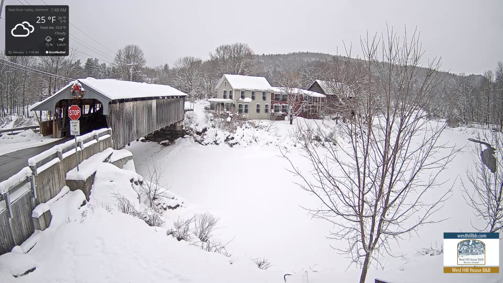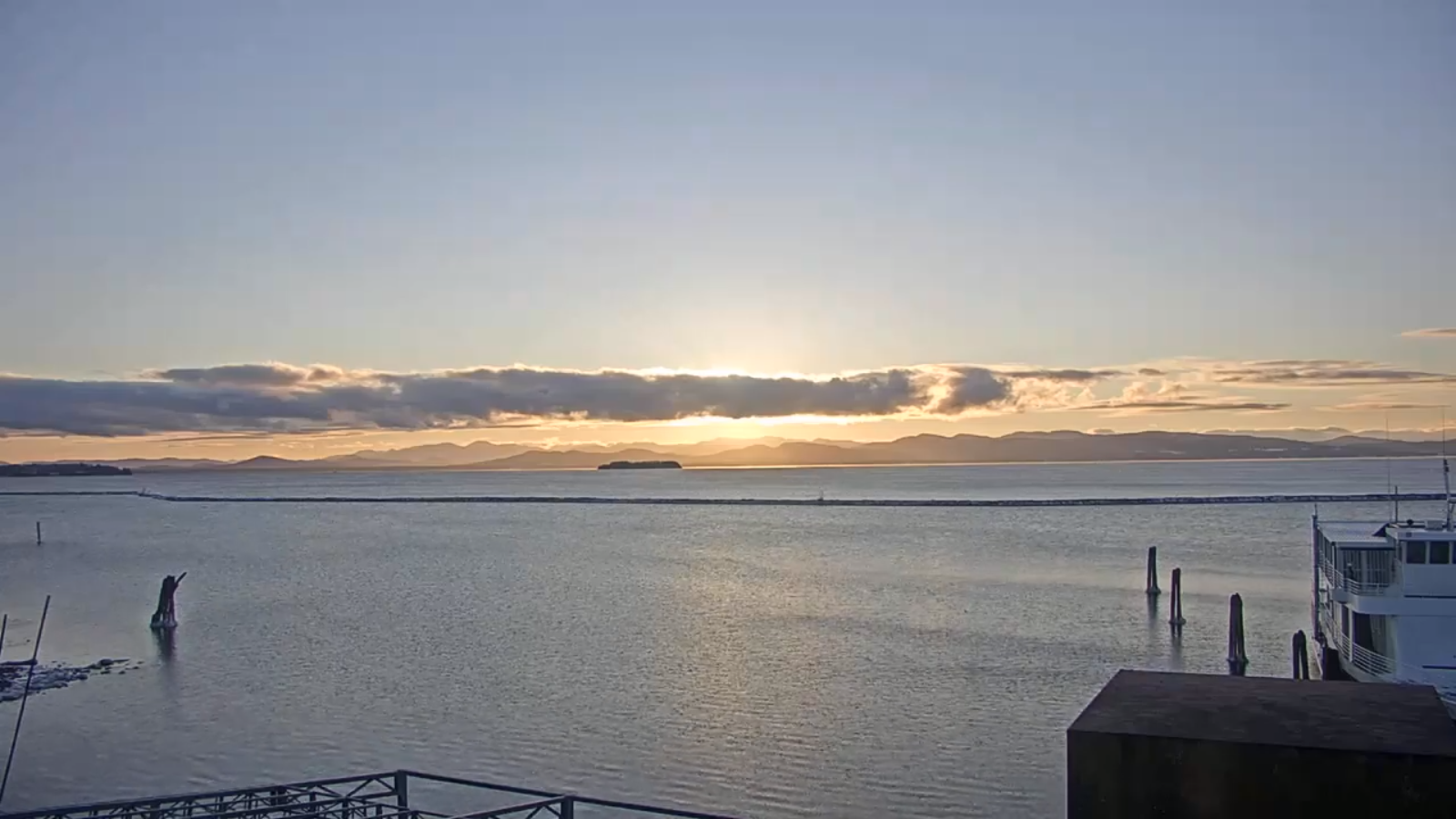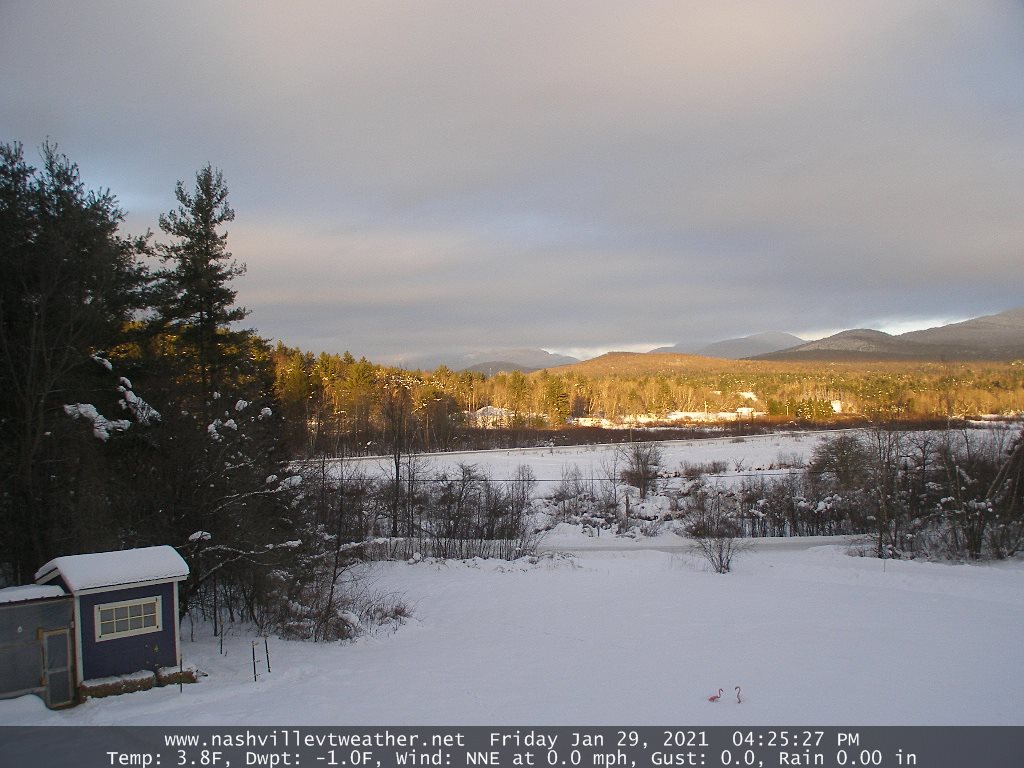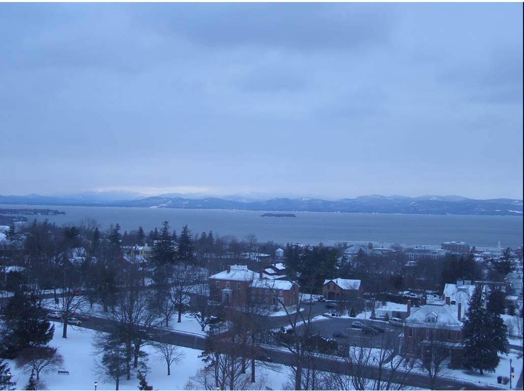
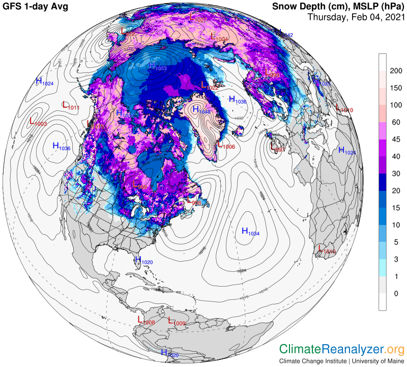
TODAY: “Pick of the week” A stray flurry or two with patchy freezing drizzle Champlain Valley early with slick spots. Clouds break up to lots of afternoon sun. A high in the upper 20s to near 30. Northwest winds 10 mph.
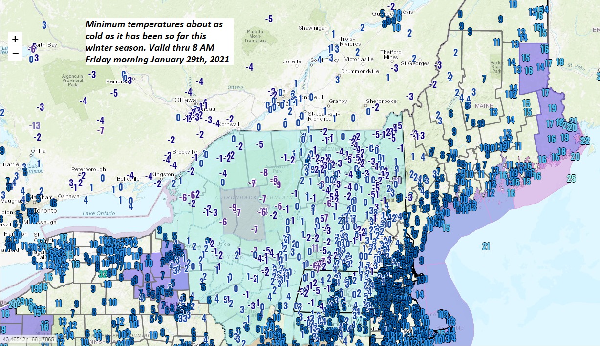
TONIGHT: Clear this evening. High clouds developing overnight. Colder. A low 10 to 15. Light south winds.
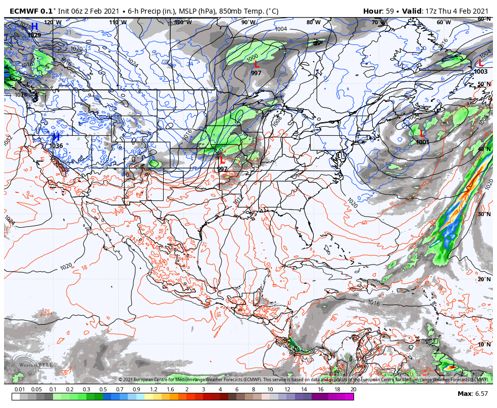
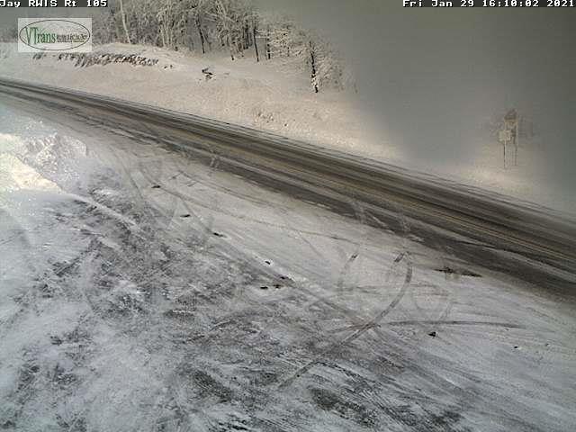
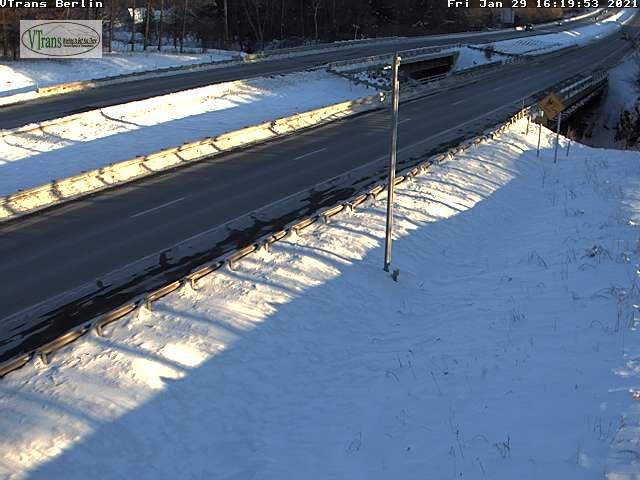
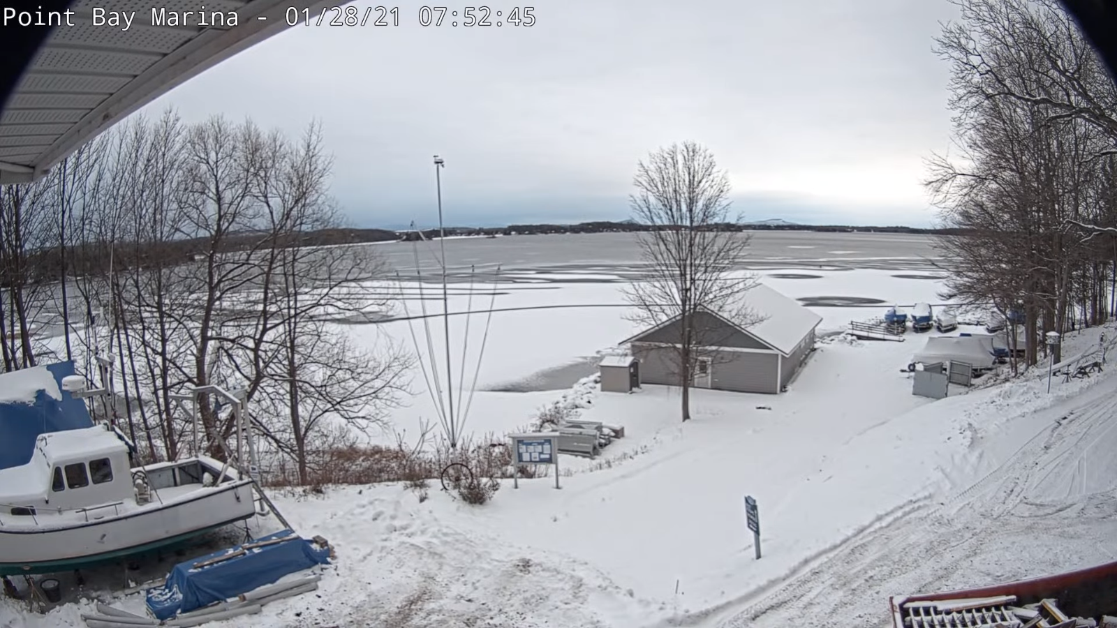
FRIDAY: Gray skies. A period of light to briefly moderate wet snow pushing thru. Quick accumulation 1 to 2 inches. A high around 32 degrees. South winds 10 mph.
Looking further ahead…
FRIDAY NIGHT: Variable cloudiness. Lingering snow showers with minor flare-up. Accumulations around an inch. A low 15 to 20.
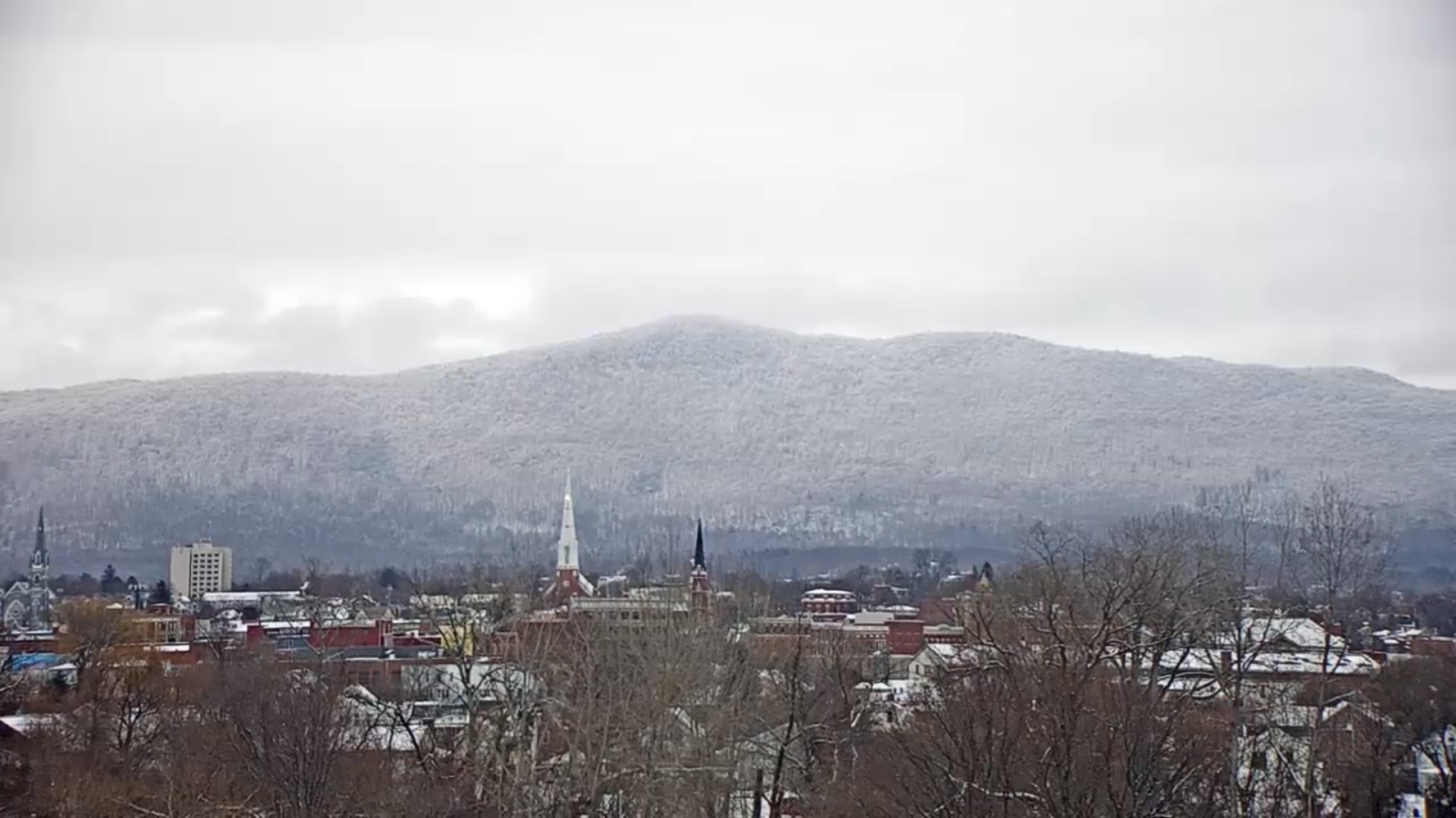
SATURDAY: A few lake effect flurries far northern areas. Otherwise, clouds northern areas, intervals of sun south of the Barre-Montpelier area. A high upper 20s to near 30.
SUNDAY: Mostly cloudy. Chance for snow showers or flurries with minor accumulation. A low 5 to 15 above. A high around 25.
MONDAY: Mostly cloudy. Chance for snow showers or flurries. Some accumulation possible. A low zero to 10 above. A high 20 to 25.
TUESDAY: Gray skies. Chance for wet snow or snow showers. A few inches of accumulation possible. A low 15 to 20. A high in the upper 20s to near 32.
Average low ranging mid-single digits to low teens, Average highs mid-20s to low 30s.
End of Winter March 9th… based off local climatology.
RH/2-4 category forecast][end]