
Winter Weather Advisory thru 7 AM Wednesday morning. Winter Storm Warning Windsor County south …
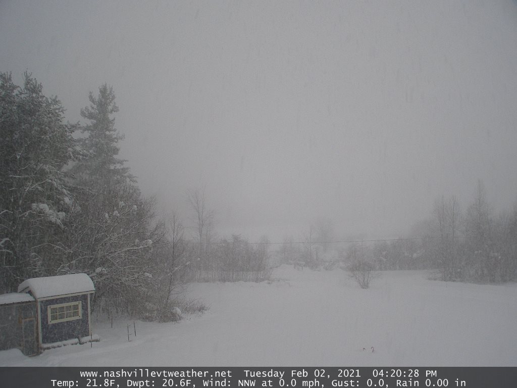
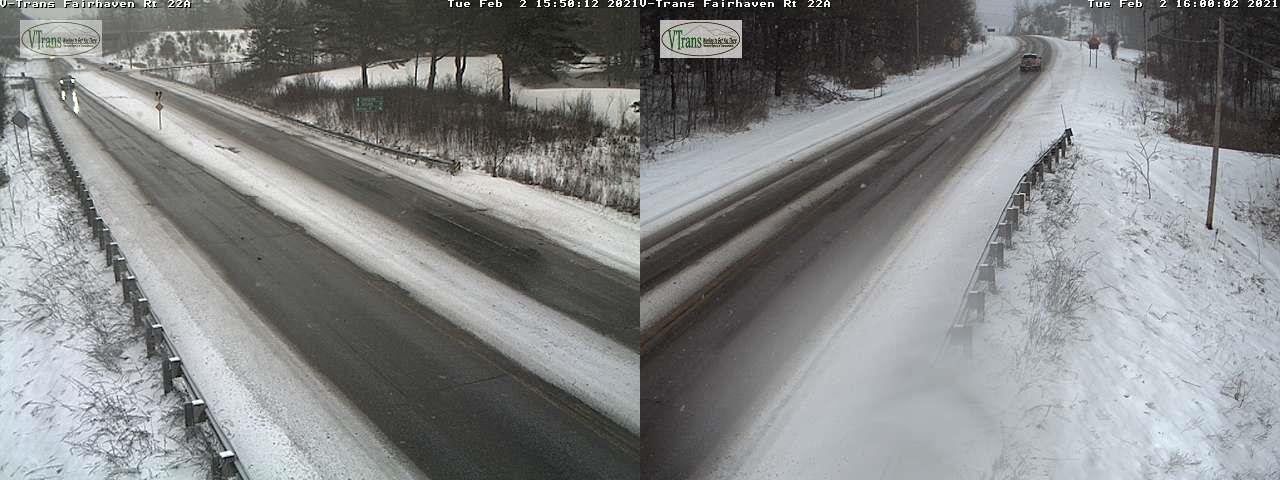
TONIGHT: Overcast. Light occasionally moderate accumulating snow early, becoming much lighter. A quick 1 to 3 inches Barre-Montpelier north and dusting to an inch central and southern areas. A low in the low 20s. North to northwest winds 10 mph
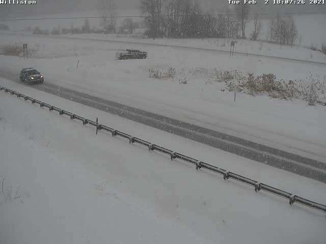
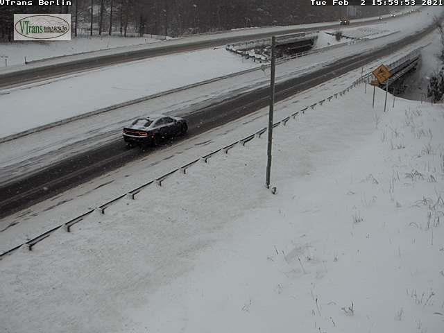
TOMORROW: Gray skies. Persistent snow showers or flurries especially near the mountains. Additional accumulation of dusting to a couple inches…especially western slopes of the Greens. A high in the mid-20s. Northwest winds 10 to 15 mph.
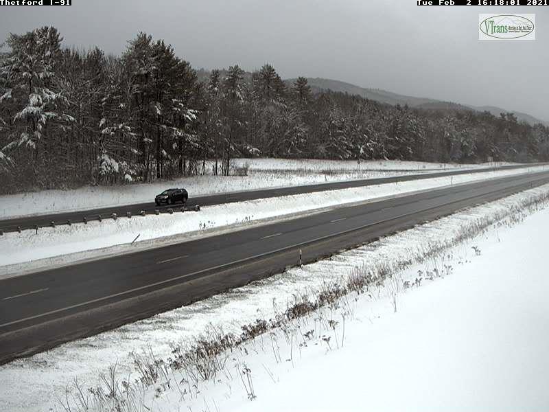
WEDNESDAY NIGHT: Lots of clouds. Scattered flurries diminish after midnight. Total snow accumulation about 4 to locally 9 inches. A low mid to upper teens. Light northwest winds.
THURSDAY: Partly cloudy early then increasing sunshine with the “pick of the week” A high in the mid-20s. Northwest winds in the afternoon 10 mph.
Looking further ahead…
THURSDAY NIGHT: Mostly clear in the evening, giving way to high clouds overnight but fair. A low upper single digits to mid-teens.
FRIDAY: Gray skies. Good chance for light to moderate snow developing around mid-day. Quick accumulation 1 to locally 3. A high in the upper 20s.
SATURDAY: A few lake effect snow showers northern areas. Otherwise, clouds with breaks of sun at times. A low around 20. A high near 30
SUNDAY: Thickening clouds leading to a chance for snow, possibly several inches. A low zero to 10 above. A high around 25.
Average low ranging mid-single digits to low teens, Average highs mid-20s to low 30s.
End of Winter March 9th… based off local climatology.
RH/2-2 category forecast][end]
