Updated Friday morning Forecast — March 5th, 2021

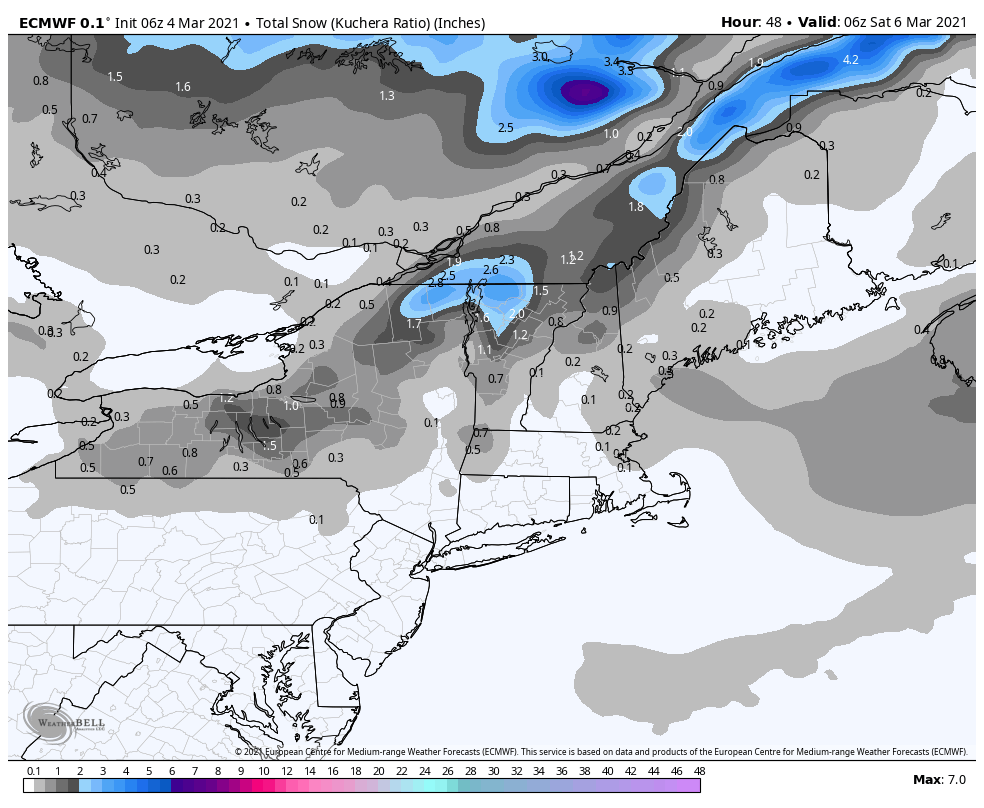
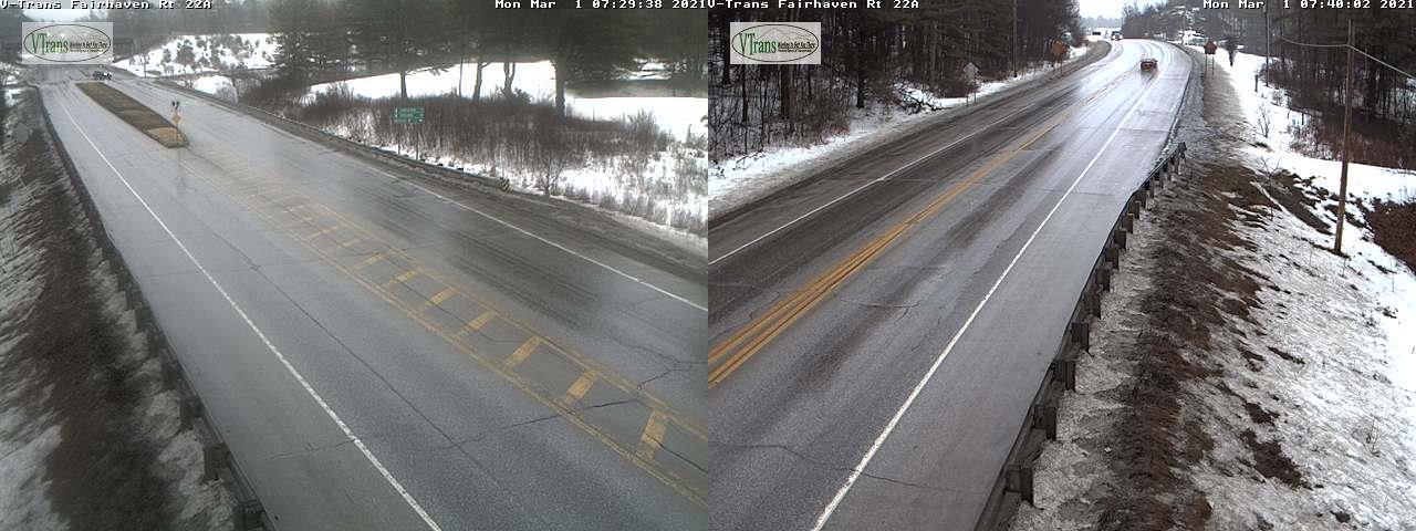
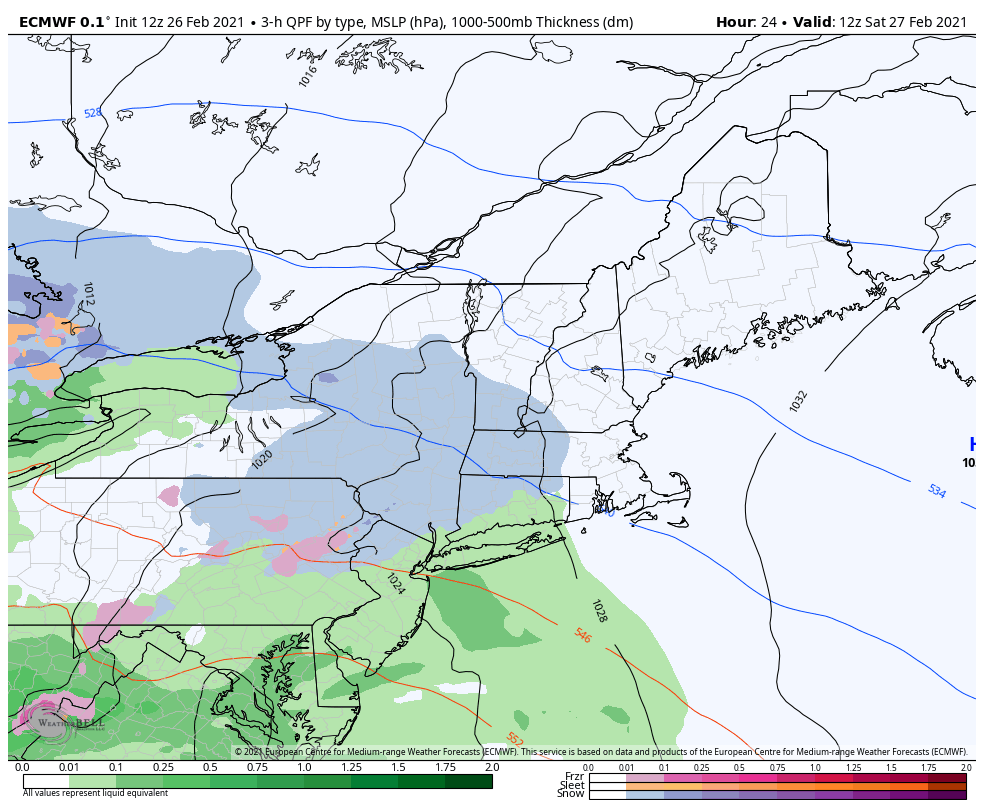
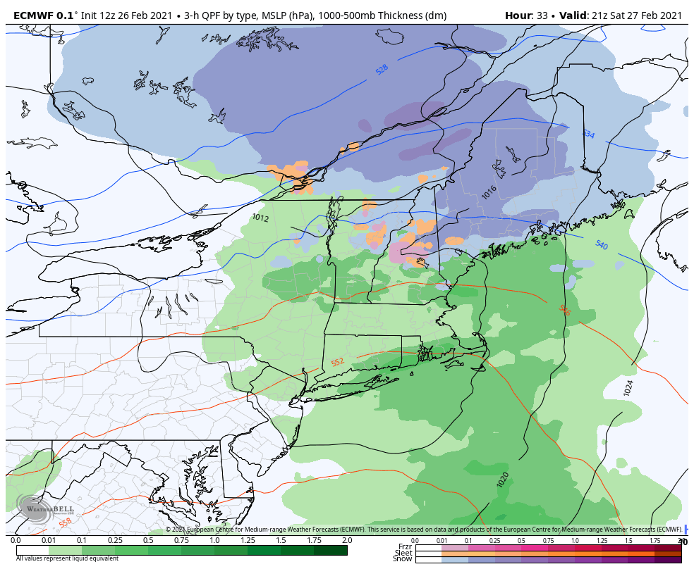
Winter Weather Advisory Northern Green Mountains into the early evening…

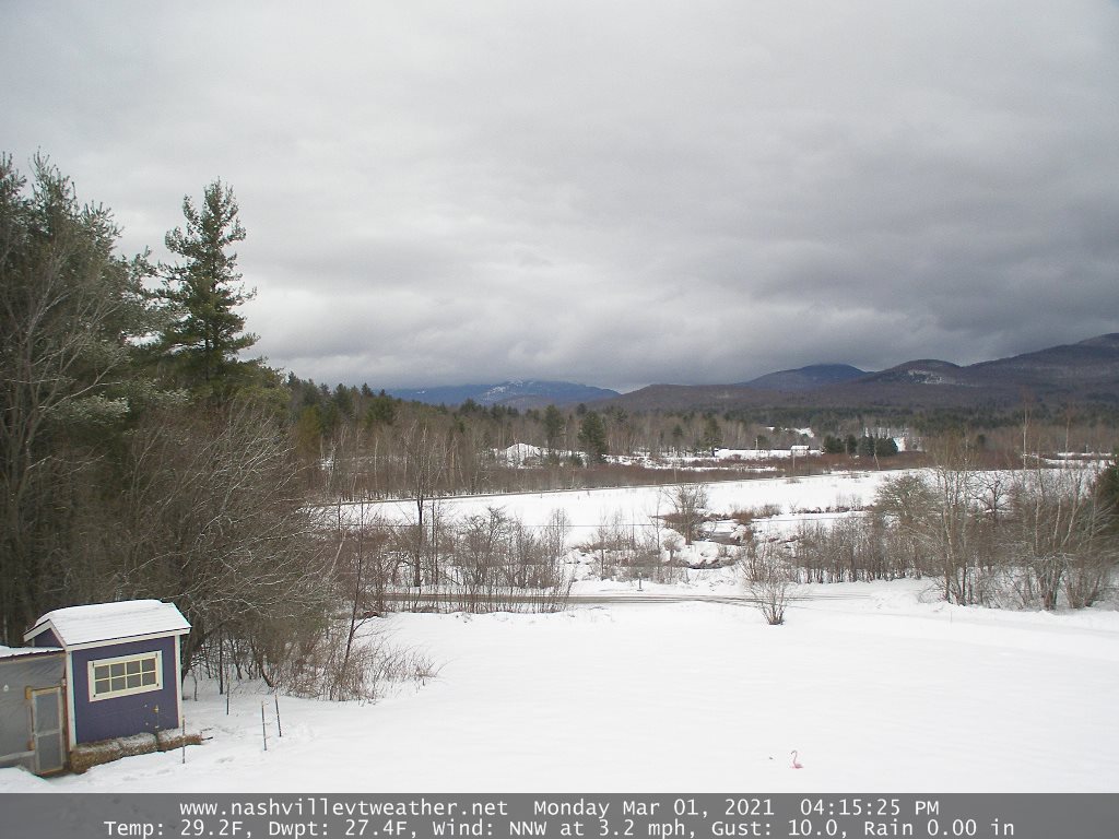
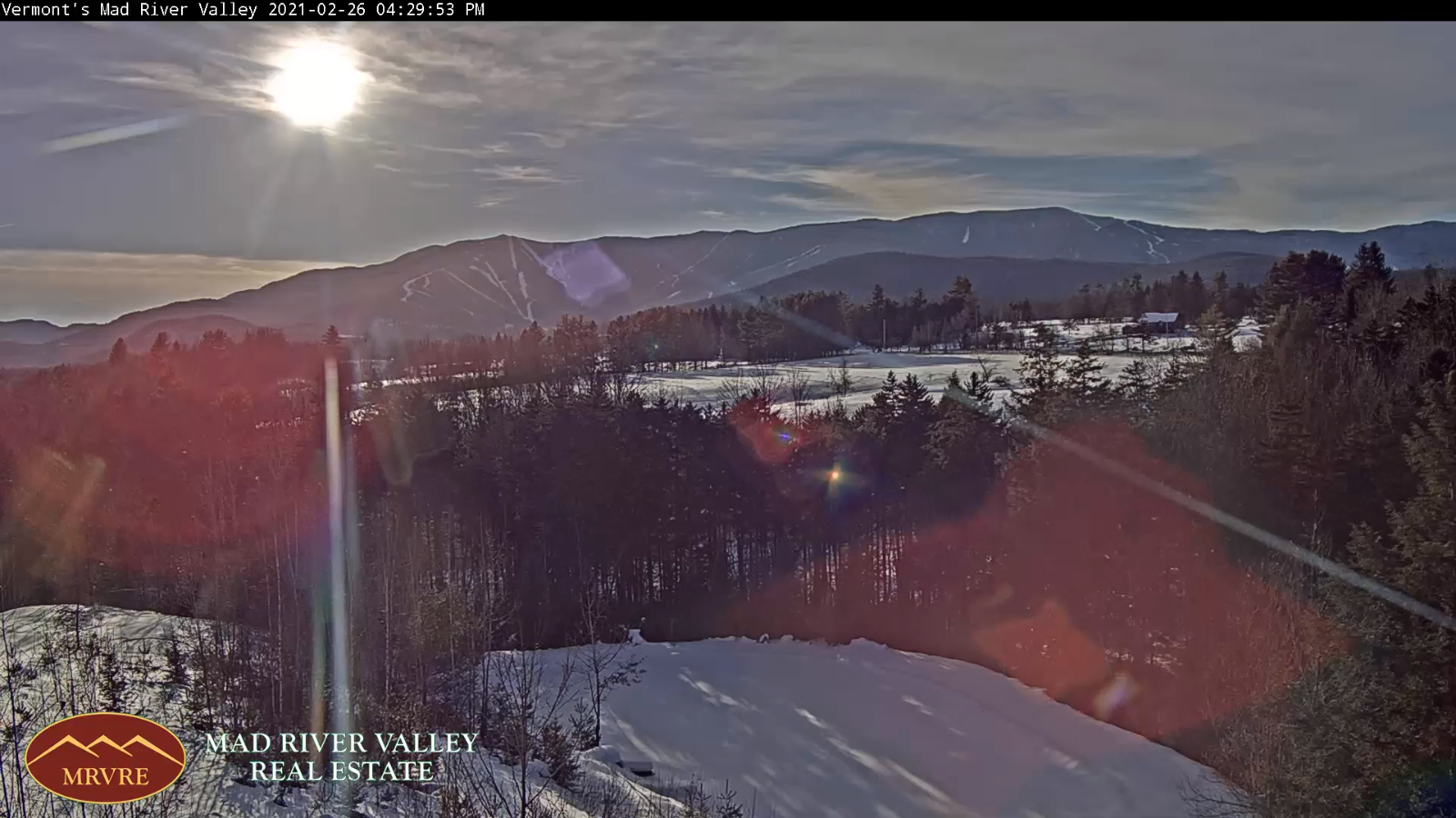
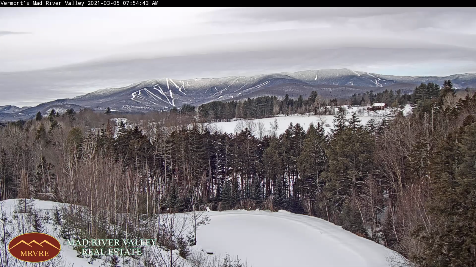
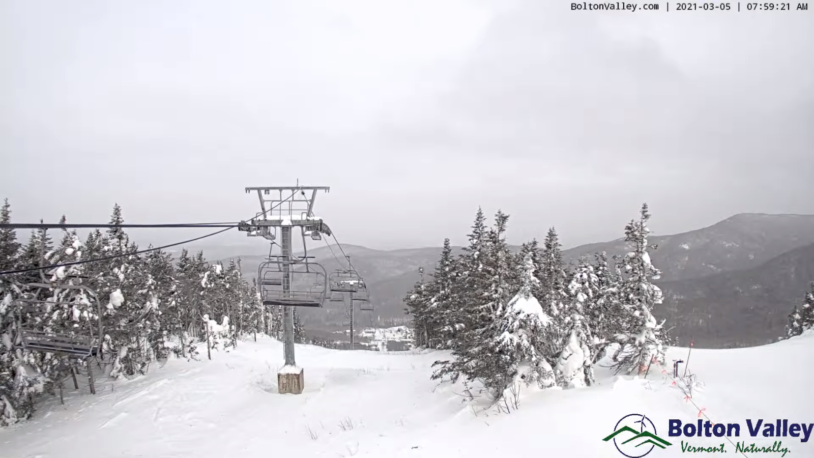
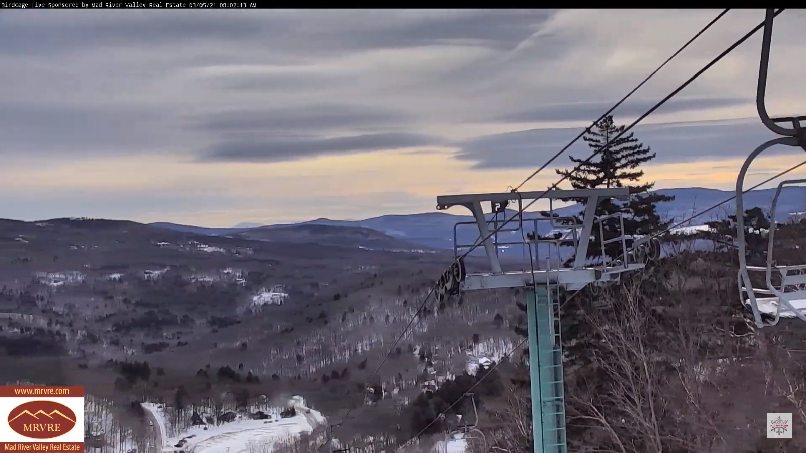
TODAY: Considerable cloudiness with breaks of sun. Persistent flurries or light snow showers across the northern Greens. Accumulation 1 to 2” with only a dusting elsewhere. Rather cold. A high just 10 to 15 above. Northwest winds 10 to 20 mph.

TONIGHT: A leftover snow shower or flurry early…exiting this evening. Partial clearing developing north to south. A low 5 below to 5 above. Light northwest winds.

SATURDAY: Partly to mostly sunny except more clouds near northern areas with a stray flurry or two. A high mid to upper teens. Northwest winds 10 mph.

Looking further ahead…

SATURDAY NIGHT: Partly cloudy. Frigid. A low 5 below to 5 above.

SUNDAY: Partly cloudy for a time in the morning, then bright sun and blue skies. A high pushing to 15 to 20.

MONDAY: Sunshine mixed with clouds. A low 5 below to 5 above. A high near 30.

TUESDAY: A few early morning flurries near the Canadian border. Otherwise becoming mostly sunny and milder. A low in the upper teens.

A high around 40. (Possible sap run Maple sugaring)

WEDNESDAY: Breaks of morning sun, otherwise mostly cloudy. A low near 25. A high 50 to 55. (Sap run likely maple sugaring).

Average low ranging upper single digits to mid-teens, Average highs ranging low to mid 30s

End of Meteorological Winter March 9th… based off local climatology.

RH/3-5category forecast][end]

Updated Thursday Evening Forecast — March 4th, 2021

Winter Weather Advisory Green Mountains Washington County north including Franklin County this evening thru 7 PM Friday…

TONIGHT: Clouding up. Light accumulating snow showers developing northern Champlain valley & adjacent Green Mountains this evening…spreading south as flurries. Fluffy accumulation 1 to locally 3 inches. A low in the single digits. Northwest winds 10 to 15 mph.

TOMORROW: Lots of clouds with break or two of sun. Persistent light accumulating snow Northern Green Mountains with 1 to locally 3” northern Green Mountains, otherwise Flurries with minor coatings further south. A high in the mid-teens. Northwest winds 10 to 20 mph.

FRIDAY NIGHT: Light accumulating snow showers or flurries…about an inch N. Champlain Valley, northern Greens…exiting in the evening. Partial clearing overnight. A low 5 below to 5 above. Light northwest winds.

SATURDAY: Clouds mixing with periods of sunshine. Maybe a stray mountain flurry. A high around 15. Northwest winds 10 mph.

Looking further ahead…

SATURDAY NIGHT: Mostly clear. Frigid. A low 5 below to 5 above.

SUNDAY: Bright sunshine and blue skies. A high 15 to 20.

MONDAY: A few clouds, but otherwise lots of sunshine. A low zero to about 10 above. A high 25 to 30.

TUESDAY: Becoming mostly cloudy. A few early morning snow showers or flurries near the Canadian border. Little accumulation. A low in the teens. A high 40 to 45.

Average low ranging upper single digits to mid-teens, Average highs ranging low to mid 30s

End of Meteorological Winter March 9th… based off local climatology.

RH/3-4category forecast][end]

Updated Thursday Morning forecast — March 4th, 2021

TODAY: Partly to mostly sunny, with more clouds northern areas later this afternoon. A high in the mid-20s. Northwest winds 10 to 15 mph.

Winter Weather Advisory Franklin County into Northern Greens Mountains 7 PM this evening thru 7 PM Friday…

TONIGHT: Cloudy. Light accumulating snow developing northern Champlain valley & Green Mountains…spreading south as flurries. Fluffy accumulation 1 to locally 3 inches. A low in the single digits. Northwest winds 10 to 15 mph.

FRIDAY: Lots of clouds with break or two of sun. Persistent light accumulating snow Northern Green Mountains with 1 to locally 3” northern Green Mountains, otherwise Flurries with minor coatings further south. A high mid to upper teens. Northwest winds 10 to 15 mph.

Looking further ahead…

FRIDAY NIGHT: Light accumulating snow northern Green Mountains with 1 to 2”, otherwise occasional flurries exiting in the evening. Partial clearing overnight. A low zero to 10 above.

SATURDAY: Clouds mixing with periods of sunshine. A few stray flurries. A high mid to upper teens.

SUNDAY: Bright sunshine and blue skies. A low 5 below to 5 above. A high in the low 20s.

MONDAY: A few clouds, but otherwise lots of sunshine. A low 5 below to 5 above. A high in the mid-20s to near 30.

TUESDAY: Becoming mostly cloudy. Chance for light snow showers or flurries. A low in the teens. A high pushing to near 40.

Average low ranging upper single digits to mid-teens, Average highs ranging low to mid 30s

End of Meteorological Winter March 9th… based off local climatology.

RH/3-4category forecast][end]

Updated Wednesday Evening Forecast — March 3rd, 2021

TONIGHT: Cloudy. Widely scattered flurries, mainly southern Champlain valley drying up later this evening. Clearing developing after midnight. A low near 10. Light northwest winds.

TOMORROW: Bright sun and blue skies give way to late afternoon cloudiness. A high in the mid-20s. Northwest winds 10 to 15 mph.

Below …sunny Quebec City…

THURSDAY NIGHT: Cloudy. Flurries developing northern areas spreading south. A low in the single digits. Northwest winds 10 to 15 mph.

FRIDAY: Lots of clouds with break or two of sun. Flurries with minor coatings. A high mid to upper teens. Northwest winds 10 to 15 mph.

Looking further ahead…

FRIDAY NIGHT: Occasional flurries exiting toward midnight. Partial clearing overnight. A low zero to 10 above.

SATURDAY: Clouds mixing with periods of sunshine. A few stray flurries. A high mid to upper teens.

SUNDAY: Bright sunshine and blue skies. A low 5 below to 5 above. A high in the low 20s.

MONDAY: A few clouds, but otherwise lots of sunshine. A low 5 below to 5 above. A high in the mid-20s to near 30.

Average low ranging upper single digits to mid-teens, Average highs ranging low to mid 30s

End of Meteorological Winter March 9th… based off local climatology.

RH/3-3category forecast][end]

Updated Wednesday Morning Forecast — March 3rd, 2021

TODAY: Morning snow showers with coated roads…gradually become confined to northern mountains this afternoon with additional inch or two, but much less valley floors. Otherwise cloudy north with breaks of sun south. Near seasonal temperatures. A high around 32. Northwest winds 10 mph.

TONIGHT: A few stray flurries early. Clearing developing north to south. A low 10 to 15. Light northwest winds.

THURSDAY: Bright sun and blue skies give way to late afternoon cloudiness. A high 20 to 25. Northwest winds 10 to 15 mph.

Looking further ahead…

THURSDAY NIGHT: Cloudy. A rising chance for a few flurries far northern areas. A low in the single digits.

FRIDAY: Mostly cloudy. Chance for an occasional flurries. Minor coatings. A high in the mid-teens.

SATURDAY: Variable cloudiness. Scattered flurries. Minor coatings. A low zero to 10 above. A high mid to upper teens.

SUNDAY: Bright sunshine and blue skies. A low 5 below to 5 above. A high around 20.

Average low ranging upper single digits to mid-teens, Average highs ranging low to mid 30s

End of Meteorological Winter March 9th… based off local climatology.

RH/3-1category forecast][end]

Updated Monday Evening Forecast — March 1st, 2021

Wind Advisories in effect thru early Tuesday except the Champlain Valley…

TONIGHT: Mostly cloudy, blustery to windy & sharply colder. Snow showers and snow squalls mainly this evening. ½” to an inch…coating roads with black ice. Watch for some blowing and drifting & white-outs…with wind chills in the minus 20s to minus 30 especially overnight. A low around zero to minus 5. West to northwesterly winds 15 to 25 mph with gusts 45 to 50 mph possible east of the Green Mountains.

TOMORROW: Blustery to windy conditions. Isolated mountain flurry or two Northeast Kingdom. Otherwise becoming partly to mostly sunny in the afternoon. Bitterly cold wind chills tomorrow into the early afternoon. A high ranging from the upper single digits, to low teens. Northwest winds 10 to 25 mph with higher gusts east of the Green Mountains. Winds ramp down in the afternoon.

TUSDAY NIGHT: Fair with increasing clouds. Chance for occasional flurries with minor accumulation. An evening low around 5 to 10. Light southwest winds.

WEDNESDAY: Mostly cloudy. Scattered morning flurries with a skiff of new snow. A high mid-20s far north, to near 32 elsewhere. Light west winds.

Looking further ahead…

WEDNESDAY NIGHT: Partial clearing developing north to south. A low ranging 5 to 15 above.

THURSDAY: Bright sun and blue skies. A high around 20.

FRIDAY: Partly to mostly sunny. A low zero to 10 above. A high in the lower 20s.

SATURDAY: Partly sunny after a few overnight flurries. A low 5 to 15 above. A high lower 20s.

SUNDAY: Partly to mostly sunny. A low zero to 10 above. A high 20 to 25.

Average low ranging upper single digits to mid-teens, Average highs ranging low to mid 30s

End of Meteorological Winter March 9th… based off local climatology.

RH/3-1category forecast][end]

Updated Monday Morning Forecast — March 1st, 2021

Wind Advisories in effect 1 PM today through 1 PM Tuesday except the Champlain Valley…

TODAY: Considerable cloudiness. Occasional rain showers dry up by late morning. An early afternoon high in the low 40s. Snow showers redevelop mid to late afternoon across northern areas and overspread the region. It’ll turn blustery to windy with sharply falling temperatures later this afternoon. South winds 10 to 15 mph shifting to westerly this afternoon and increasing later on.

TONIGHT: Mainly cloudy. Blustery to windy and sharply colder. Snow showers and isolated snow squalls this evening with a dusting to 2” accumulation with snow coated roads and potential black ice. In addition hazardous travel tonight with blowing and drifting and possible white-outs with wind chills in the minus 20s to minus 30. Temperatures falling to near zero by daybreak. West to northwesterly winds 15 to 25 mph with gusts 45 to 50 mph possible east of the Green Mountains.

TUESDAY: Blustery to windy…with occasional mountain flurries exiting mid-morning. Otherwise becoming partly cloudy. Bitterly cold wind chills tomorrow into the early afternoon. A high low to mid-teens. Northwest winds 10 to 25 mph with higher gusts east of the Green Mountains. Winds ramp down in the afternoon.

Looking further ahead…

TUSDAY NIGHT: Mostly clear in the evening then increasing clouds. Chance for occasional flurries with minor accumulation. A low around 10.

WEDNESDAY: Mostly cloudy. A few mountain flurries. A high in the low to mid 30s.

THURSDAY: Mostly sunny. A low zero to 10 above. A high in the upper teens.

FRIDAY: Increasing mainly high clouds. A low around 10 A high in the lower 20s.

Average low ranging upper single digits to mid-teens, Average highs ranging low to mid 30s

End of Meteorological Winter March 9th… based off local climatology.

RH/3-1category forecast][end]

Updated Friday Evening Forecast — February 26th, 2021

TONIGHT: Mostly clear and fully moonlit with increasing clouds toward daybreak. A low around 15 to 20. Southeast breeze 10 mph overnight.

‘Full Worm Moon” Saturday afternoon 1:48 PM

TOMORROW: Clouding up & turning breezy to windy. Periods of wet accumulating snow…arriving mid-morning tapering-off as scattered rain showers late. Accumulations around ½” to 2” A late day high in the upper 30s. South winds 10 to 20 mph but stronger in the Champlain Valley.

SATURDAY NIGHT: A leftover rain or snow shower early exiting. Otherwise becoming partly cloudy. A low 25 to 30. West to northwest winds 10 to 20 mph.

SUNDAY: Considerable high cloudiness with some sunny breaks, thickening up in the afternoon. Milder with a possible sap run. A high pushing toward 45. Light south winds.

Looking further ahead…

SUNDAY NIGHT: Cloudy. A rising chance for a rain showers mixed with wet snow higher terrain. A low around 35.

MONDAY: Considerable cloudiness. Any morning rain or snow showers dry up. Another chance for flurries or light snow develops late. A high in the low 40s.

TUESDAY: Blustery to windy with scattered snow showers & a risk for snow squalls early…giving way to lots of afternoon sun. Colder. A morning low around 10. A high around 20.

WEDNESDAY: Mostly sunny giving way to high cloudiness. A low minus 5 to 5 above. A high around 30.

Average low ranging 5 to 15 above, Average highs ranging low to mid 30s

End of Meteorological Winter March 9th… based off local climatology.

RH/2-25category forecast][end]

Updated Friday Morning forecast — February 26th, 2021

TODAY: Pick of the week. A beauty after a frigid start. Bright sunshine & blue skies. A high mid-20s to near 30. Light west winds.

TONIGHT: Mostly clear and fully moonlit with increasing clouds toward daybreak. A low around 15. South breeze 10 mph.

‘Full Worm Moon” Saturday 1:48 PM

SATURDAY: Clouding up & turning breezy to windy. Periods of wet accumulating snow briefly moderate for a time late morning early afternoon. Snow showers taper-off as scattered rain showers later in the afternoon. Accumulations ranging about 1 to 2 inches locally up 3” Green Mountain summits. A late day high 35 to 40. South winds 10 to 20 mph but stronger in the Champlain Valley.

Looking further ahead…

SATURDAY NIGHT: A leftover rain or snow shower early exiting. Otherwise becoming partly cloudy. A low 25 to 30.

SUNDAY: Considerable high cloudiness with some sunny breaks. Milder in the afternoon with a possible sap run. A high 40 to 45.

MONDAY: Chance for rain showers mixed with wet snow higher terrain.Partly to mostly cloudy. A low in the low to mid 30s. A high in the low 40s.

TUESDAY: Blustery with scattered mountain flurries…giving way to lots of afternoon sun. Colder. A morning low around 10. A high around 20.

WEDNESDAY: Mostly sunny giving way to high cloudiness. A low minus 5 to 5 above. A high around 30.

Average low ranging 5 to 15 above, Average highs ranging low to mid 30s

End of Meteorological Winter March 9th… based off local climatology.

RH/2-25category forecast][end]

Updated Thursday Evening Forecast — February 25th, 2021

TONIGHT: A few evening clouds…then clear and fully moonlit. Frigid. A low zero to 5 above. Light northwest winds.

TOMORROW: Pick of the week. A beauty after a frigid start. Bright sunshine & blue skies. A high upper 20s to near 30. Light west winds.

FRIDAY NIGHT: Mostly clear and fully moonlit with increasing clouds toward daybreak. A low 10 to 15. South breeze 10 mph.

‘Full Worm Moon” Saturday 1:48 PM

SATURDAY: Clouding up & turning breezy to windy. Periods of wet accumulating snow likely by mid to late morning…mixing with rain in the afternoon. Accumulations ranging about a dusting to 2 inches with the most across elevated terrain before exiting late. A late day high around 40. South winds 10 to 20 mph but stronger in the Champlain Valley.

Looking further ahead…

SATURDAY NIGHT: Partly cloudy. A low around 30.

SUNDAY: Considerable high cloudiness with some sunny breaks. Milder in the afternoon with a possible sap run. A high around 45.

MONDAY: Chance for rain showers mixed with wet snow higher terrain.Partly to mostly cloudy. A low in the low to mid 30s. A high in the low 40s.

TUESDAY: Blustery with scattered mountain flurries…giving way to lots of afternoon sun. Colder. A morning low 5 to 10 above. A high 15 to 20.

Average low ranging 5 to 15 above, Average highs ranging low to mid 30s

End of Meteorological Winter March 9th… based off local climatology.

RH/2-25category forecast][end]