
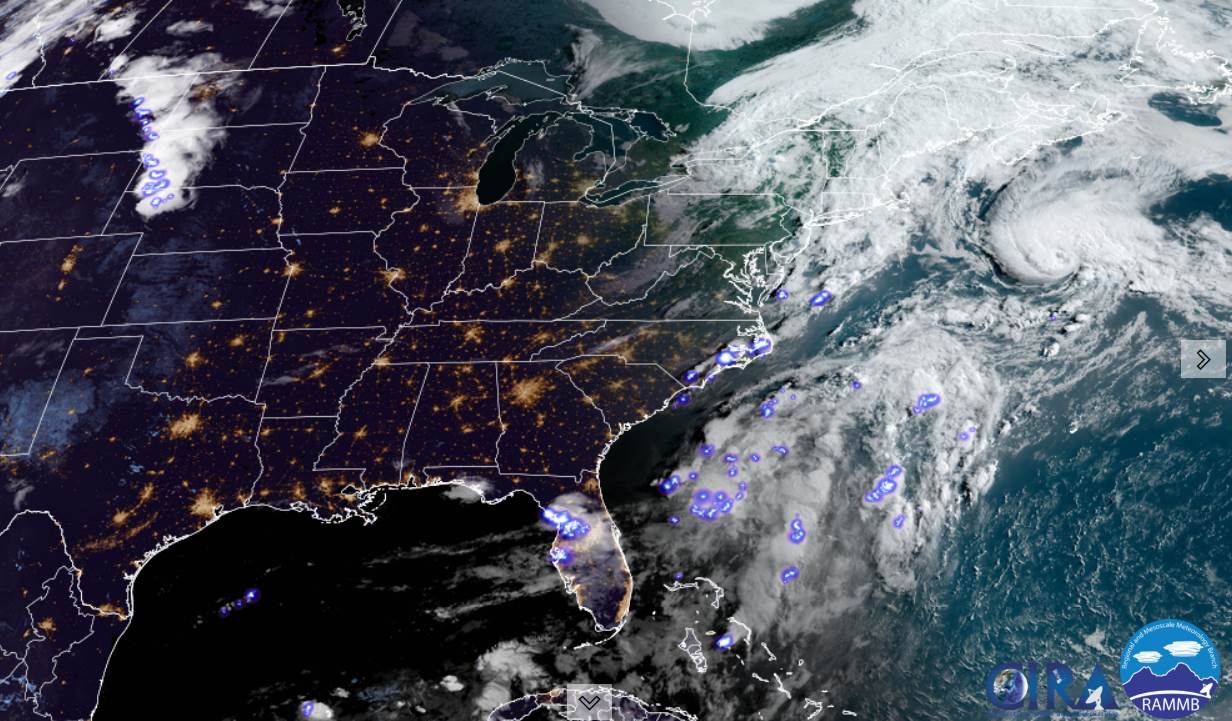
TODAY: Morning clouds mixing with intervals of sunshine. Scattered showers and a few isolated brief thunderstorms possible this afternoon especially northern areas. A high in the lower 70s. Southwest 10 mph winds shifting to northwesterly late.
TONIGHT: Showers and isolated thunderstorms diminishing. Otherwise, gradually clearing. A low in the upper 40s. Light northwest winds.
WEDNESDAY: Morning sunshine with then mostly cloudy in the afternoon, especially northern areas. Cool, but the start of warming trend. A high around 65. Northwest winds 10 to 15 mph.
Looking further ahead…
WEDNESDAY NIGHT: Mostly clear & cool, with patchy valley fog. A low mid to upper 40s.
THURSDAY: Morning sun, then mostly cloudy in the afternoon. A high around 70.

FRIDAY: Morning sunshine gives way to cloudy periods. Turning warmer. A low 45 to 50. A high pushing near 80. Chance for a shower Friday evening.
SATURDAY: Mostly cloudy. Scattered showers. Chance for afternoon thunderstorms. A low near 60. A high 75 to 80.
SUNDAY: Chance for a few lingering light showers. Otherwise clouds mixing with periods of afternoon sunshine. A low 55 to 60. A high 70 to 75.
Average low in the low to mid 50s. Average highs in the mid-70s.
Meteorological summer peaks approx. July 22nd based off local climatology.
RH/6-14forecast][end]
