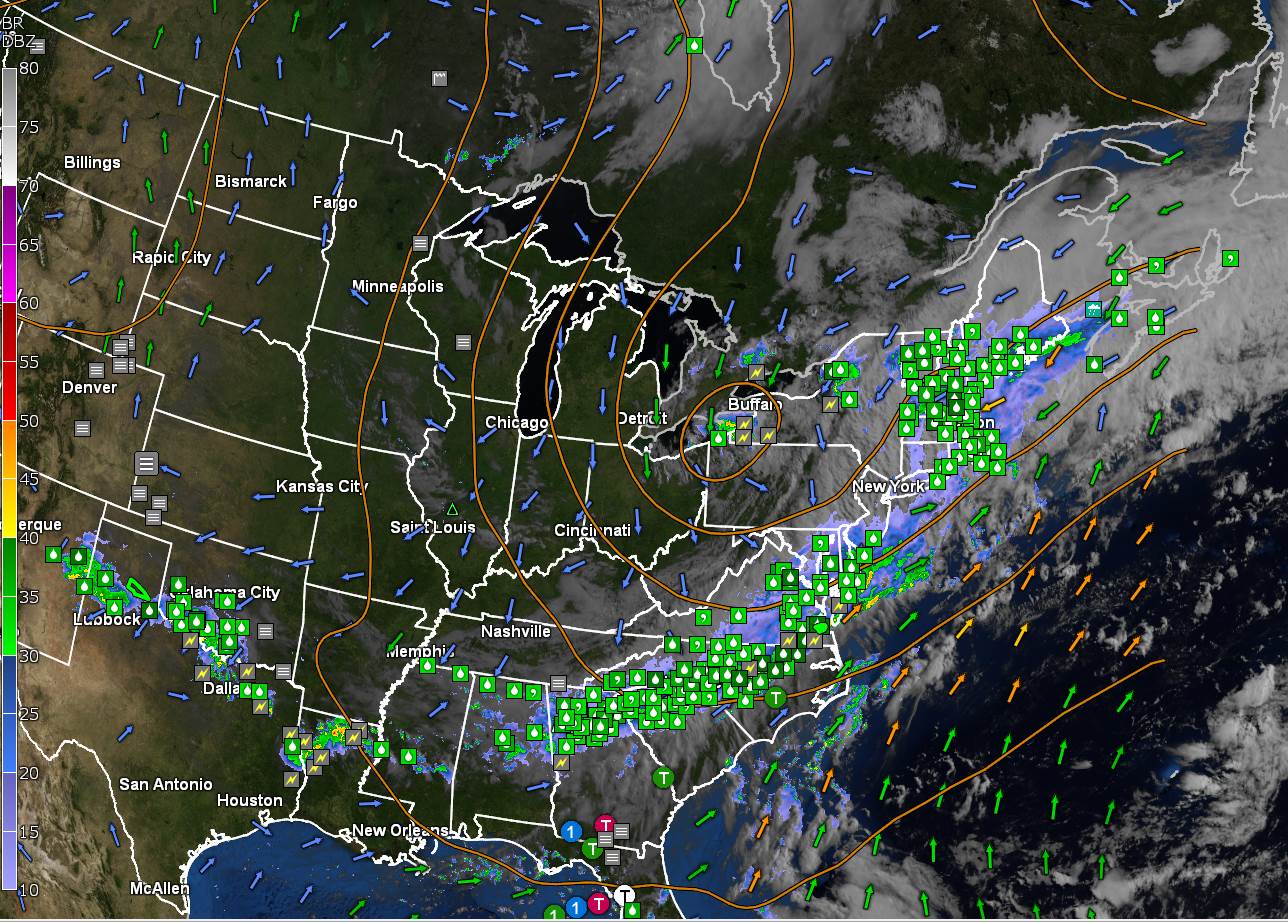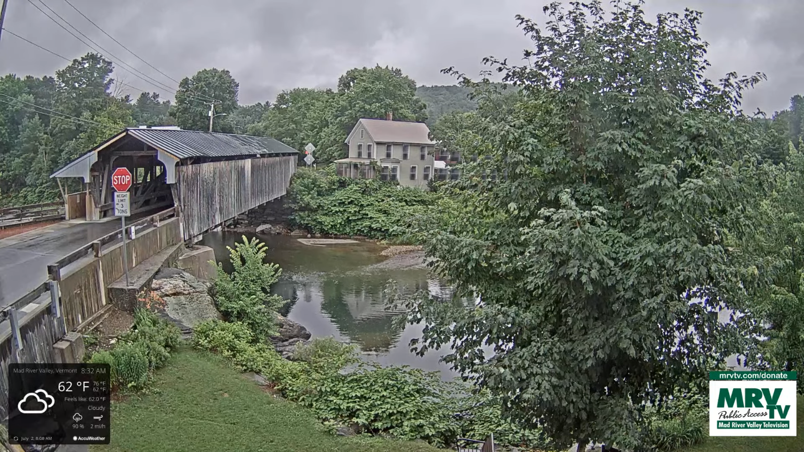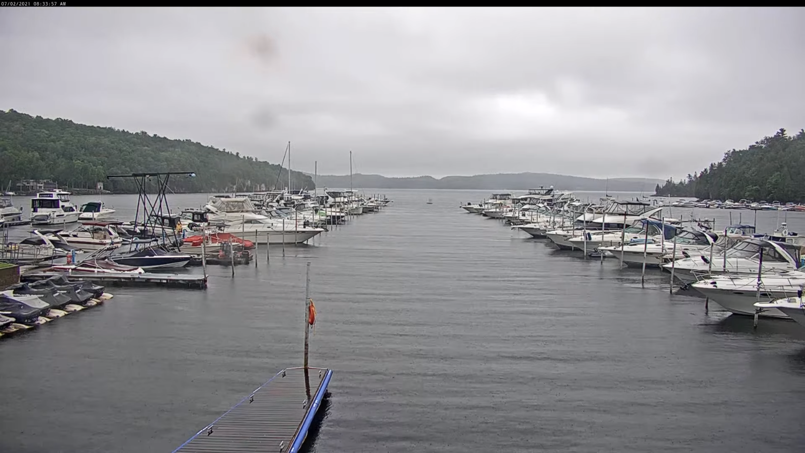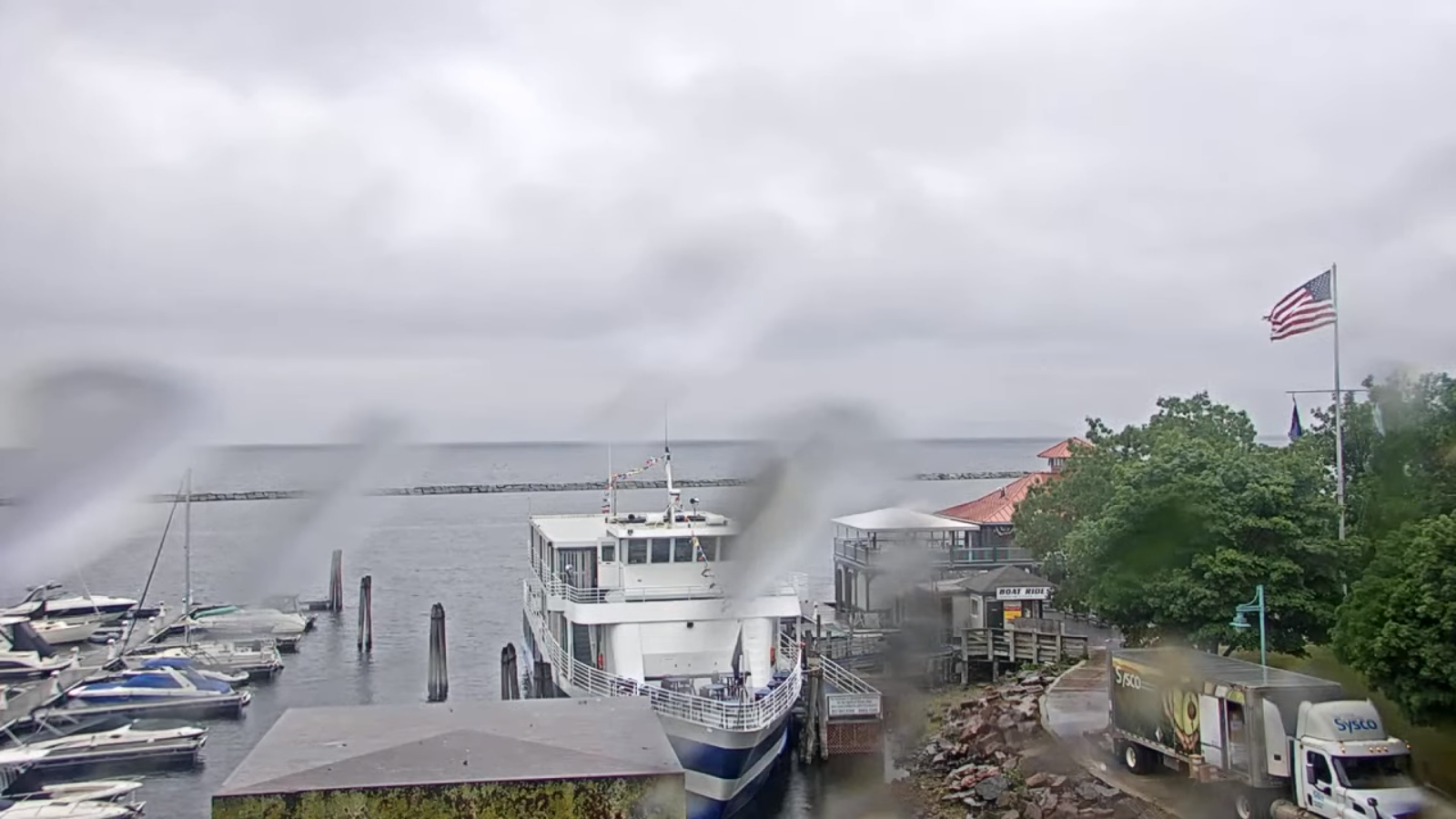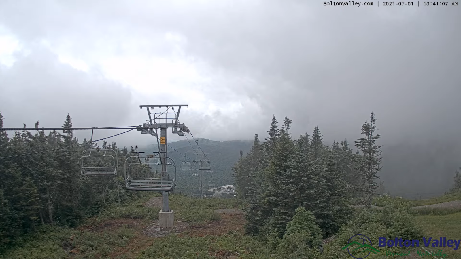
TODAY: Clouds mixing with intervals of sunshine, warm and muggy. Scattered showers this morning, maybe an isolated rumble of thunder. Widely scattered showers with isolated strong thunderstorms far southern areas this afternoon. A high 80 to 85. Southwest breeze 10 to 15 mph shifting to westerly this afternoon.
TONIGHT: A leftover evening shower diminishing, otherwise partly cloudy. Patchy valley fog. A low in the low 60s. Light west to northwest winds.
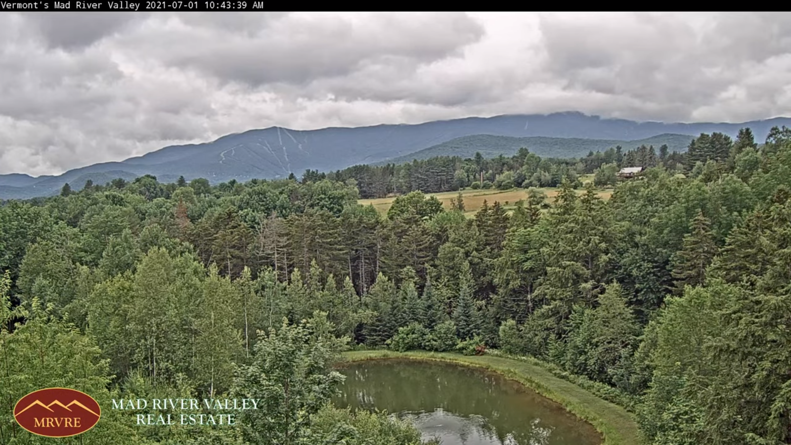
WEDENESDAY: Partial morning sun with more clouds in the afternoon. Showers becoming likely late, maybe a late day thunderstorm. A high mid to upper 70s. Light winds.
Looking further ahead…
WEDNESDAY NIGHT: Mostly cloudy. Widely scattered evening showers. A low in the upper 50s to around 60.
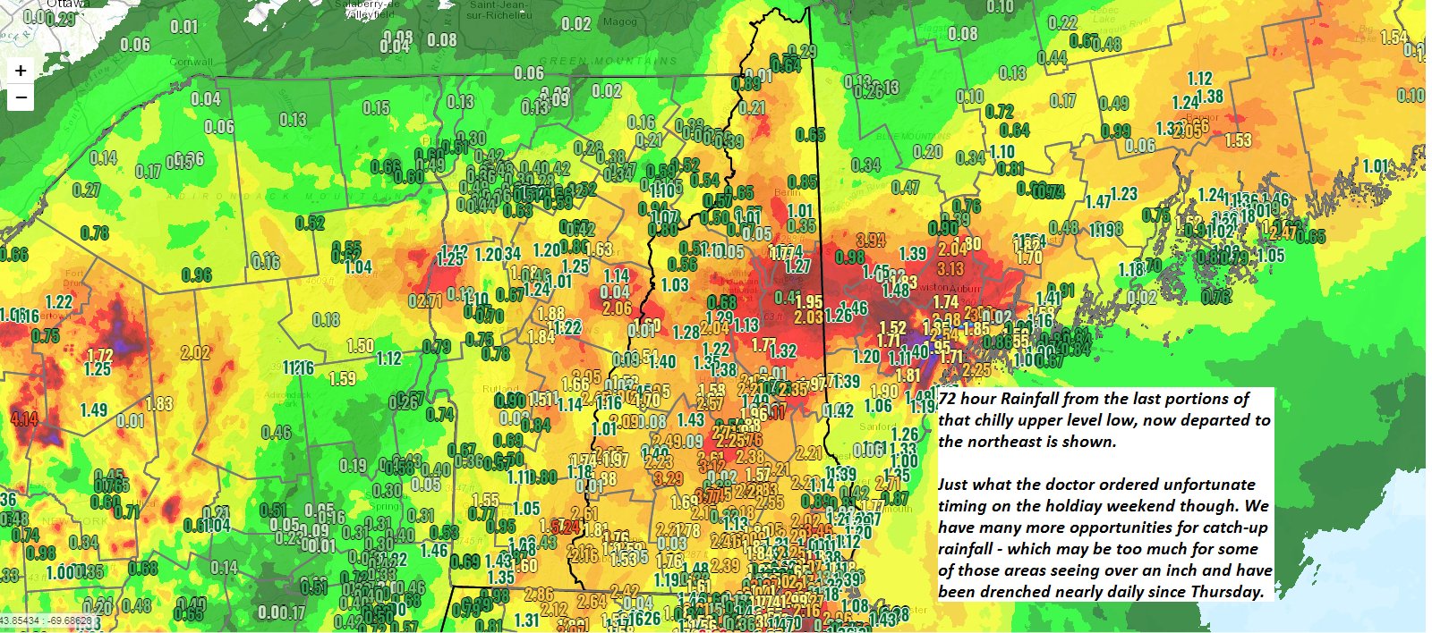
THURSDAY: Gray skies cool and damp. Chance for showers moderate at times, possible rumble of thunder. A high in the low 70s.

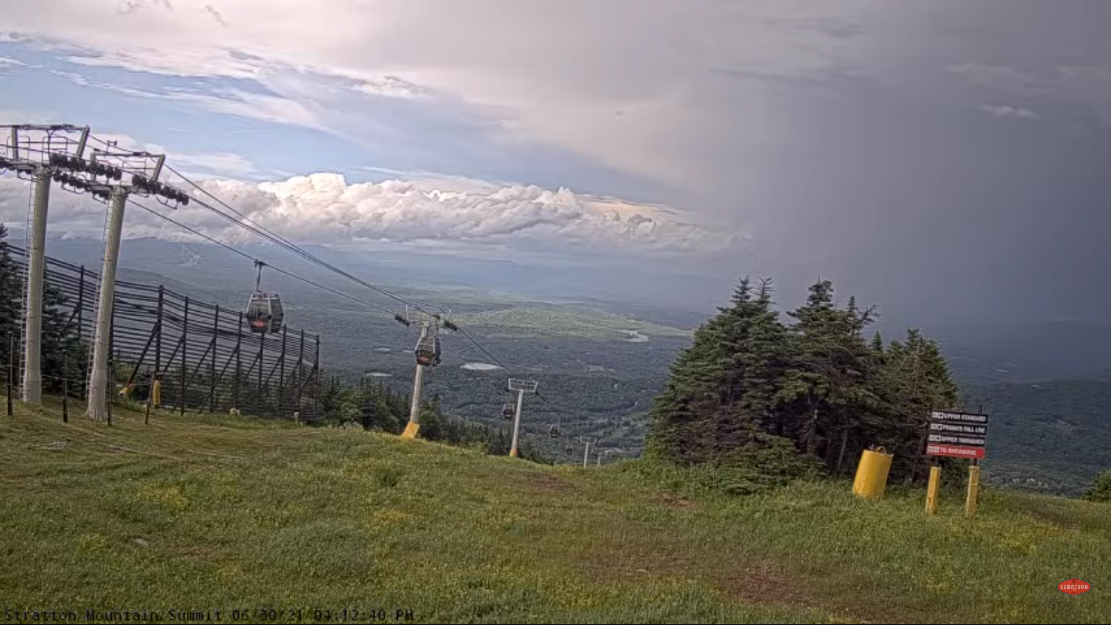
FRIDAY: Mainly cloudy. Chance for rain or frequent showers, moderate to heavy at times with rumbles of thunder. A low around 60. A high in the mid-70s
SATURDAY: An isolated mountain sprinkle, otherwise mixed sun and clouds. A low around 60. A high in the mid-70s.
SUNDAY: Lots sunshine with a few high clouds. A low in the 50s. A high 75 to 80.
Average low 55 to 60. Average highs in the mid-70s to low 80s. .
Meteorological summer peaks approx. July 22nd based off local climatology.
RH/7-6forecast][end]