
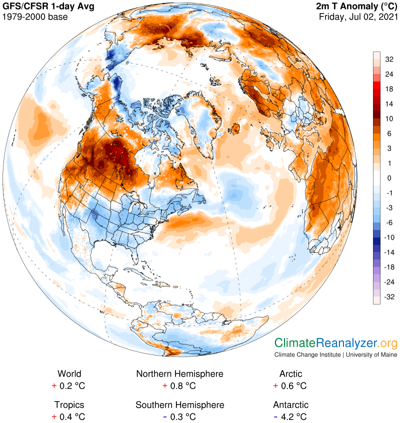
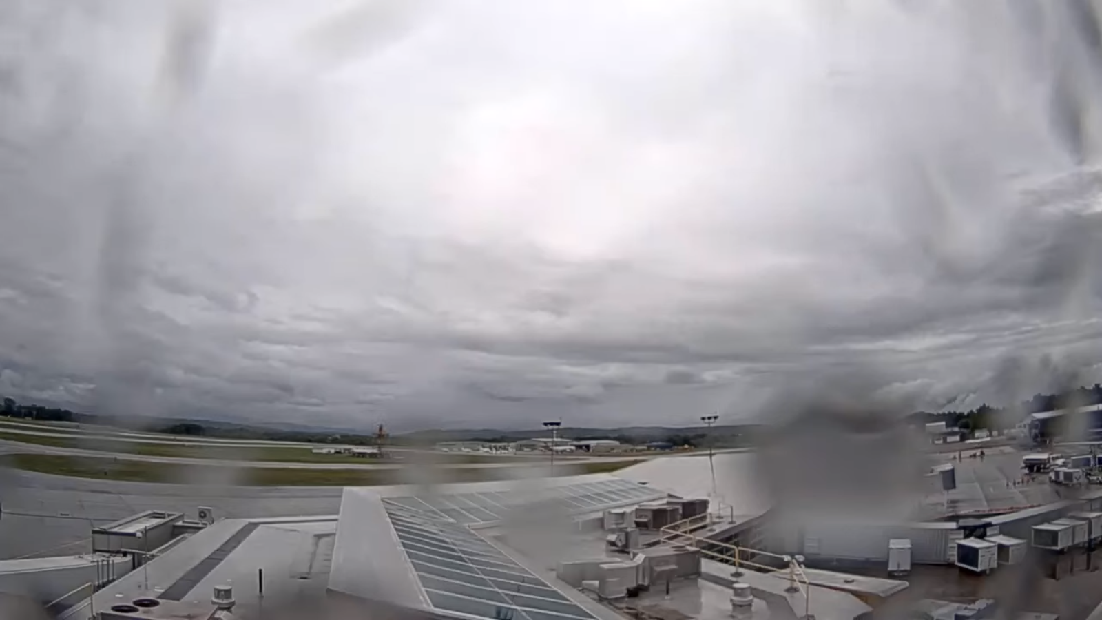
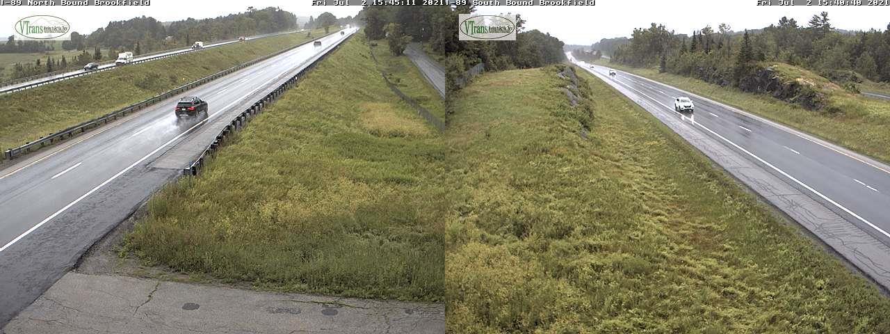
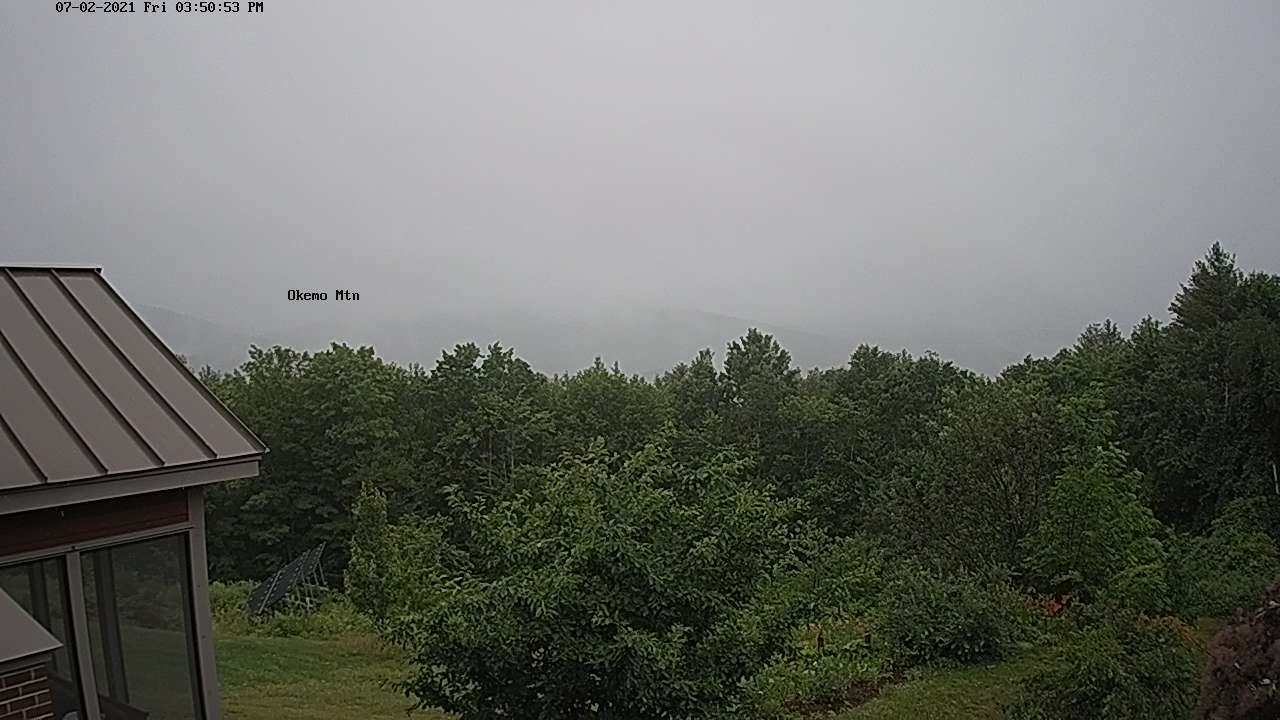
TONIGHT: Mostly cloudy continued damp. Scattered light showers/sprinkles areas of drizzle and fog. A low around 55.
Light east winds.
TOMORROW: Mainly gray, continued unseasonably cool. Lingering rain showers. A high 60 to 65. Light northeast winds.
SATURDAY NIGHT: Lots of clouds. Lingering light showers, areas of drizzle and fog. A low around 55. Little wind.
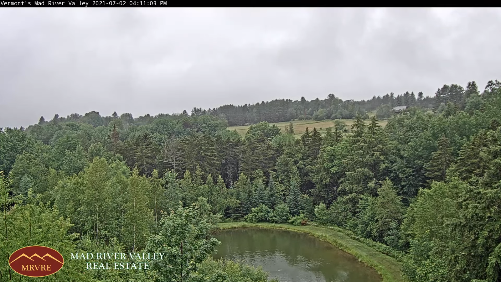
SUNDAY Independence Day: Clouds with occasional breaks of sun in the afternoon. Widely scattered rain showers. Still cool. A high mid to upper 60s. Light northeast winds.
Looking further ahead…
SUNDAY NIGHT: Clouds give way to partial clearing western areas. Cloudy otherwise, isolated to widely scattered rain showers especially southern areas. A low 50 to 55.
MONDAY: Considerable cloudiness with a few breaks of sun western areas. Isolated light showers/sprinkles southern/eastern areas. A high in the low to mid 70s
TUESDAY: Variably cloudy, muggy. Chance for showers and thunderstorms, some could be strong in the afternoon. A low 60 to 65. A high 80 to 85.
WEDENESDAY: Clouds with intervals of sun. Pleasant. A low mid-50s. A high around 75.
Average low 55 to 60. Average highs in the mid-70s to low 80s. .
Meteorological summer peaks approx. July 22nd based off local climatology.
RH/7-2forecast][end]
