Updated Tuesday morning forecast — July 27th, 2021

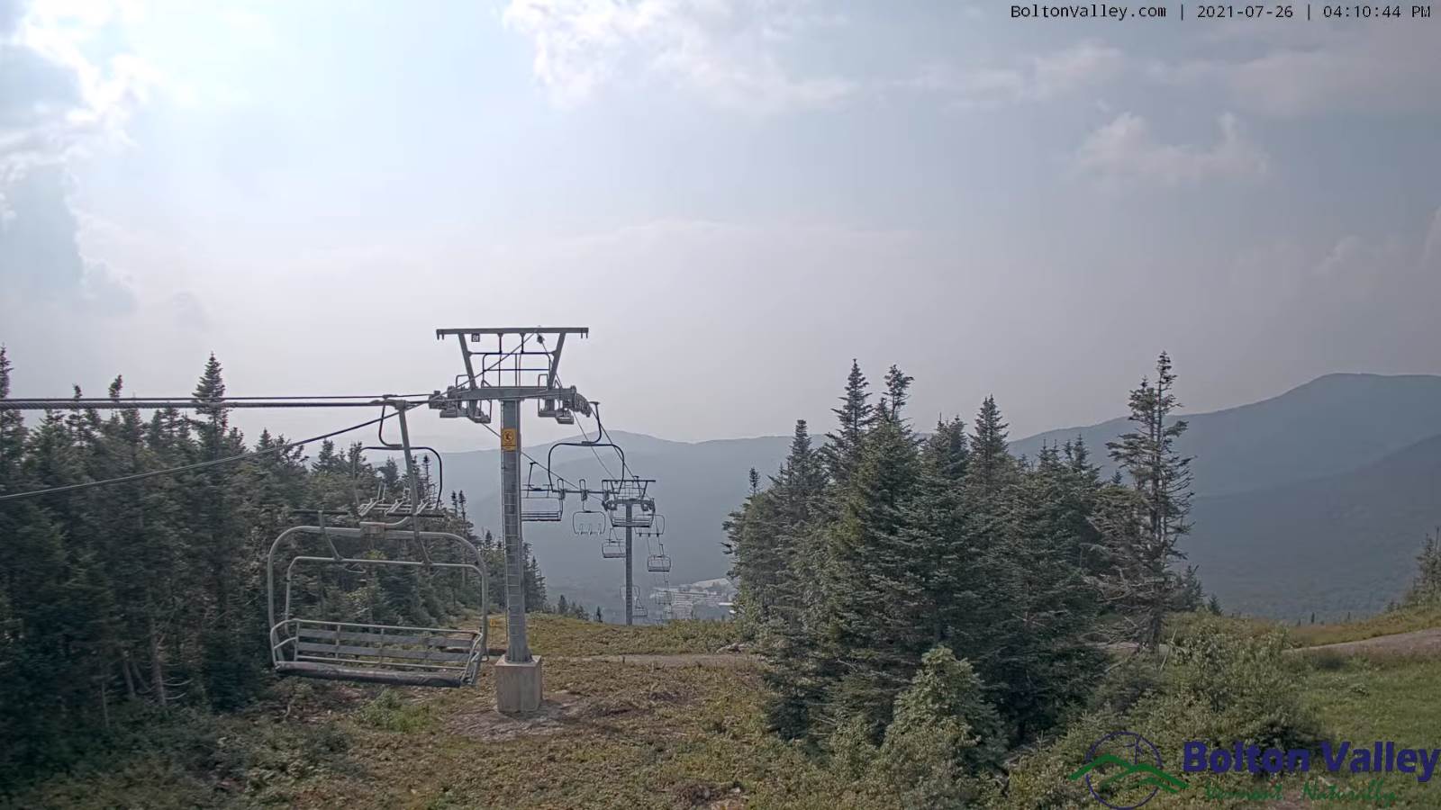
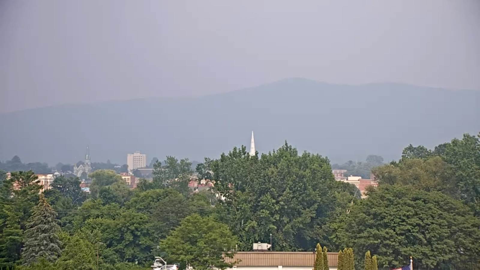
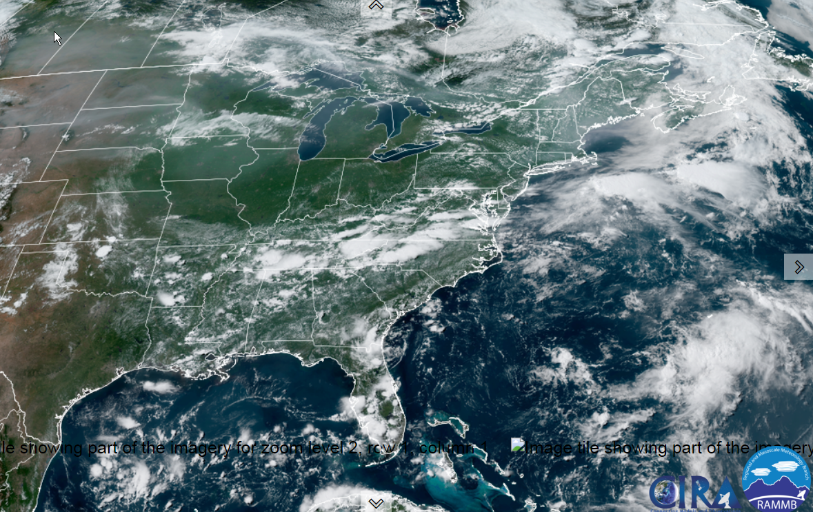
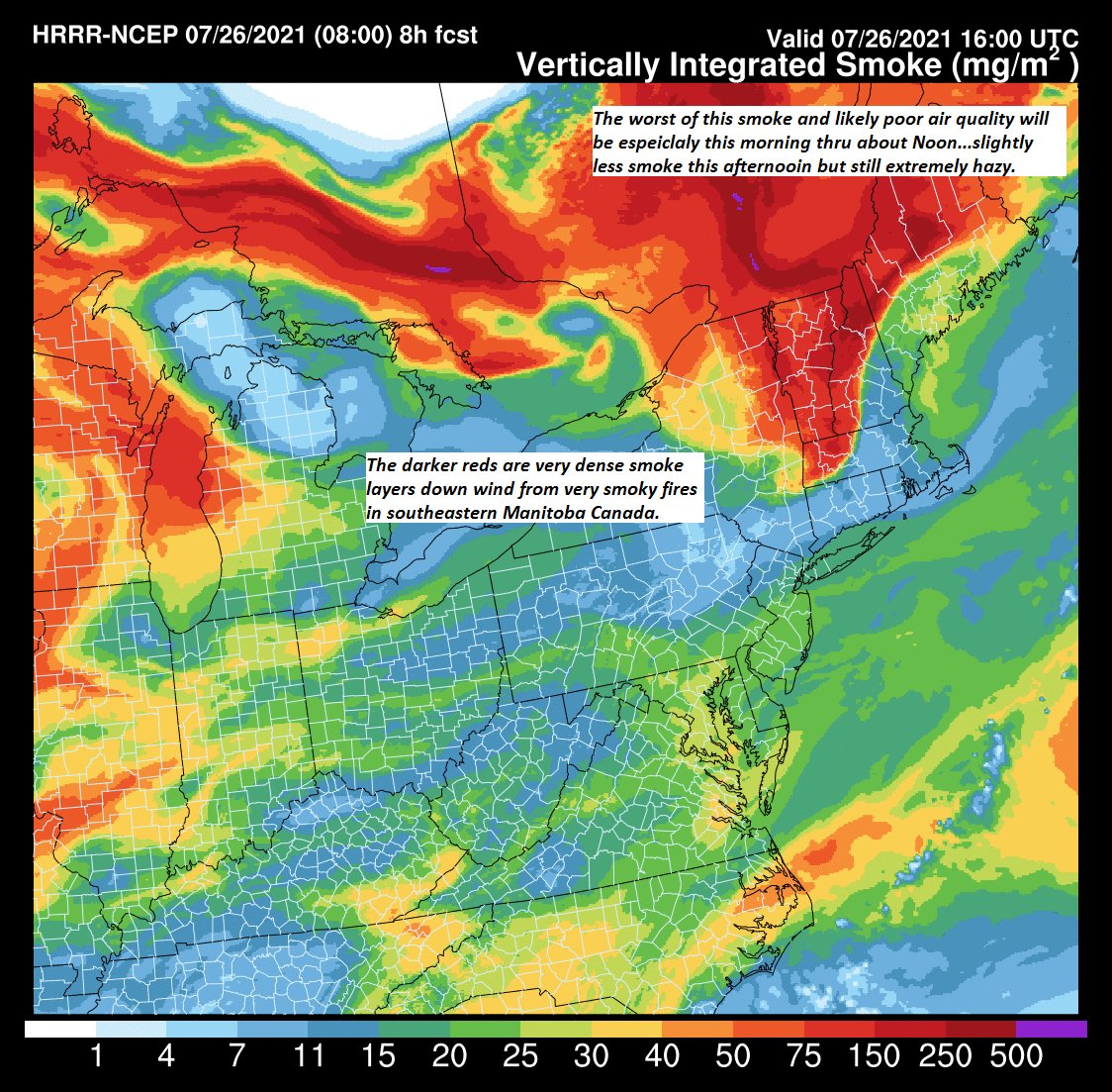
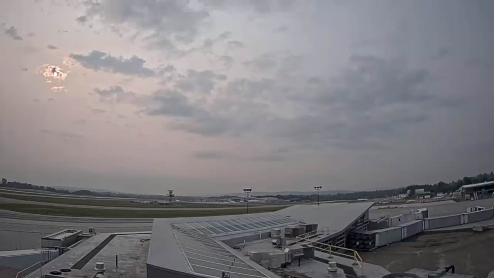
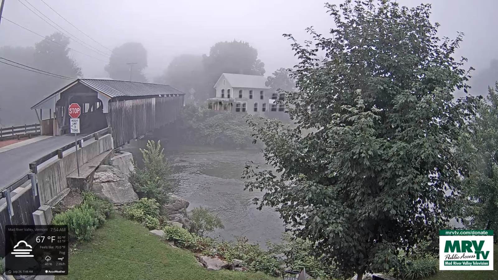
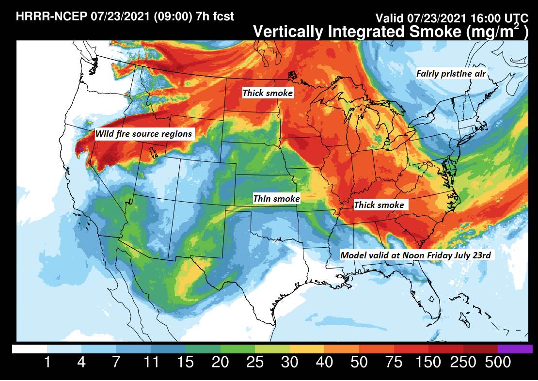
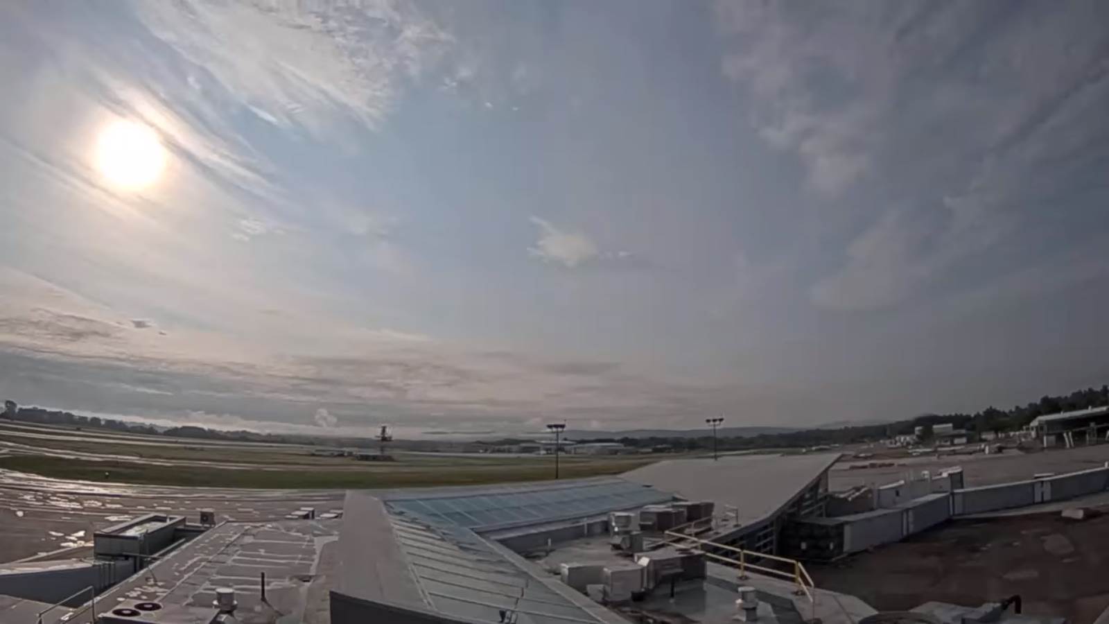
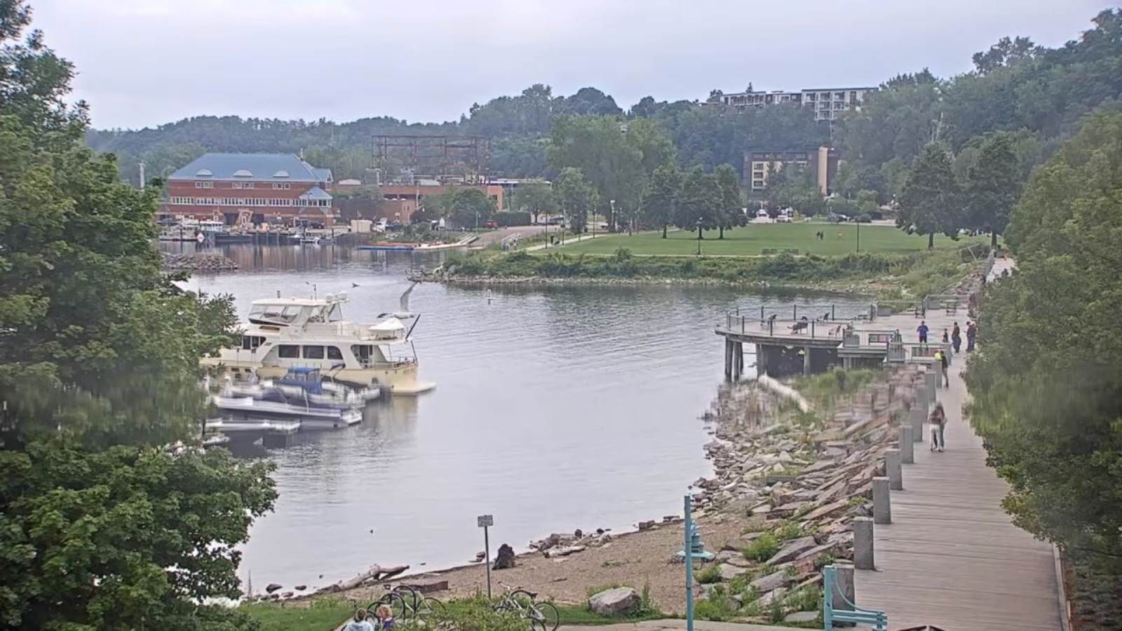
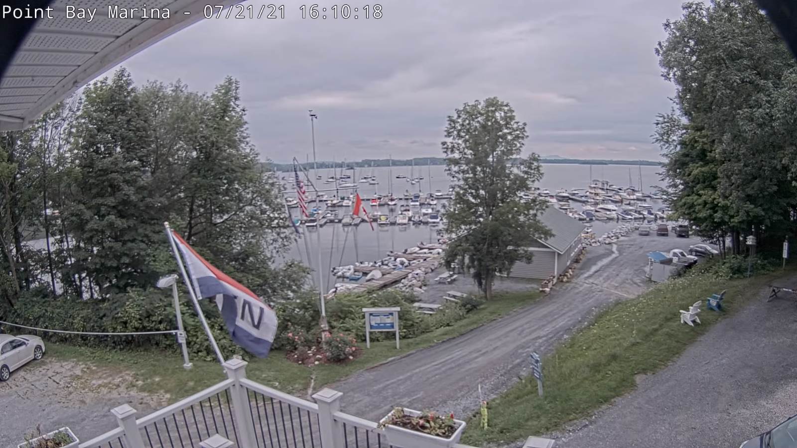
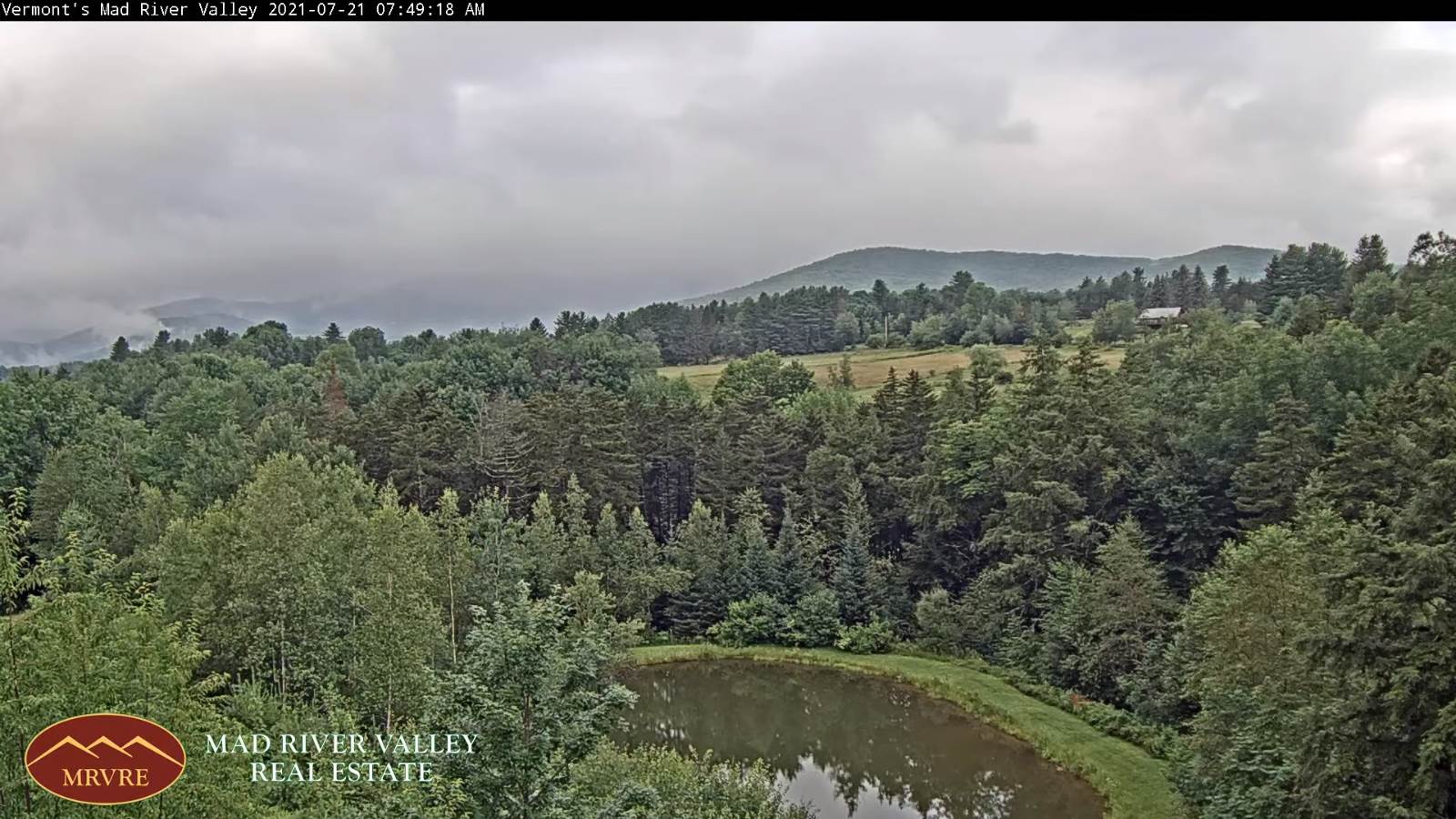
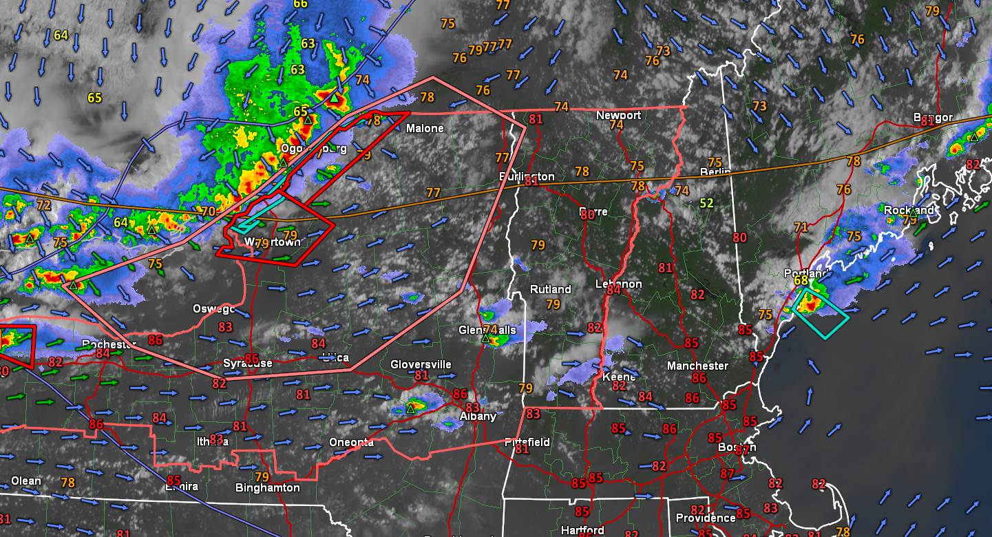
TODAY: Hazy morning sunshine followed by increasing clouds. Showers becoming likely with a few thunderstorms, one or two briefly strong & locally heavy south of the Barre-Montpelier area. A high around 75. Light northwest winds.

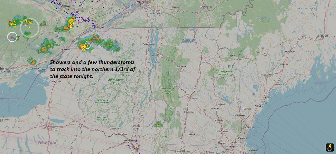
TONIGHT: Lots of clouds. Showers…especially Barre-Montpelier area and points south, maybe a rumble or two of thunder. Less humid. A low mid to upper 50s. Light northeast winds.

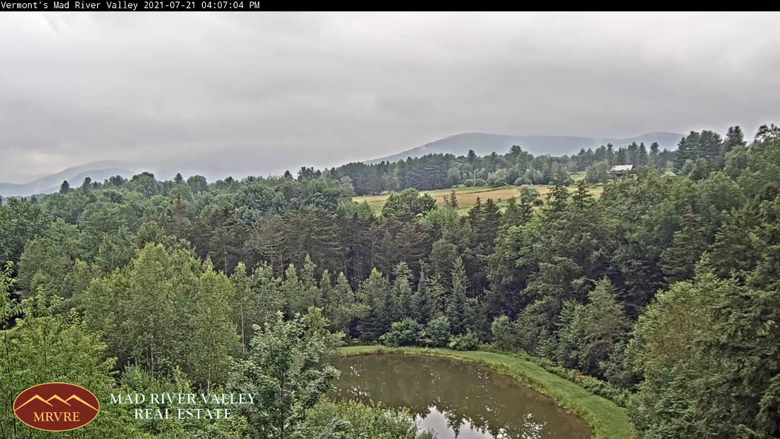
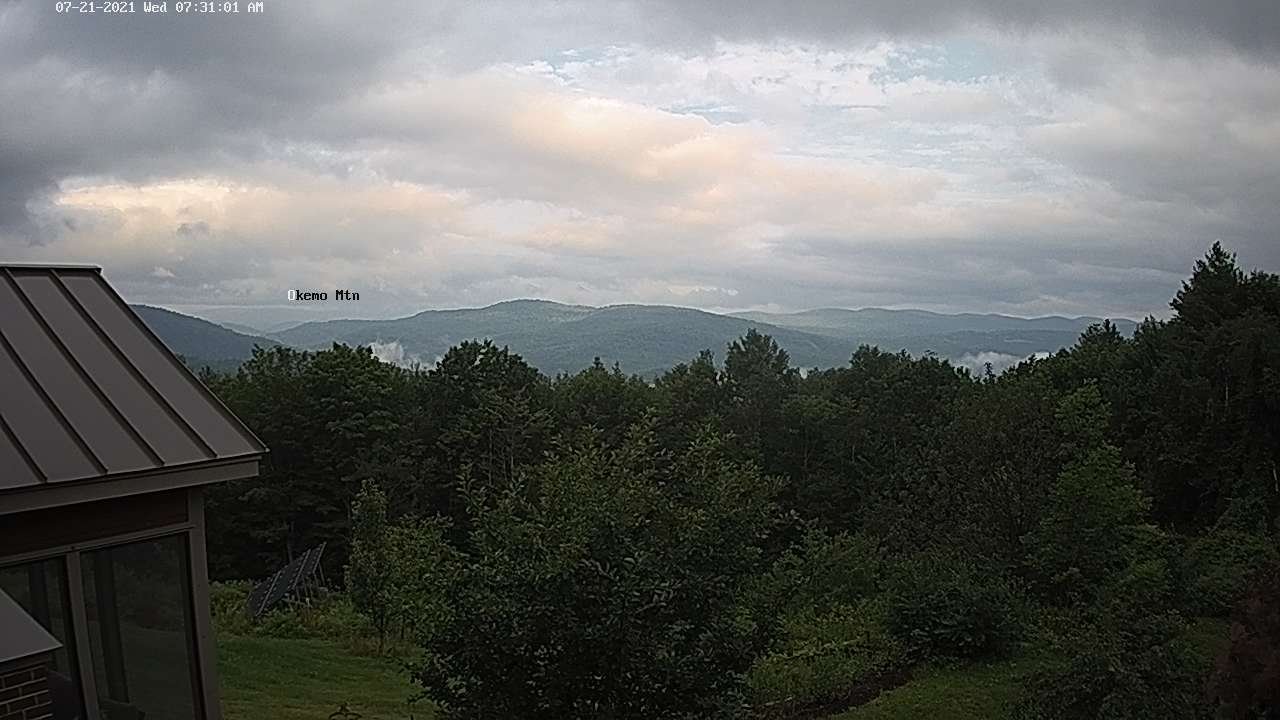
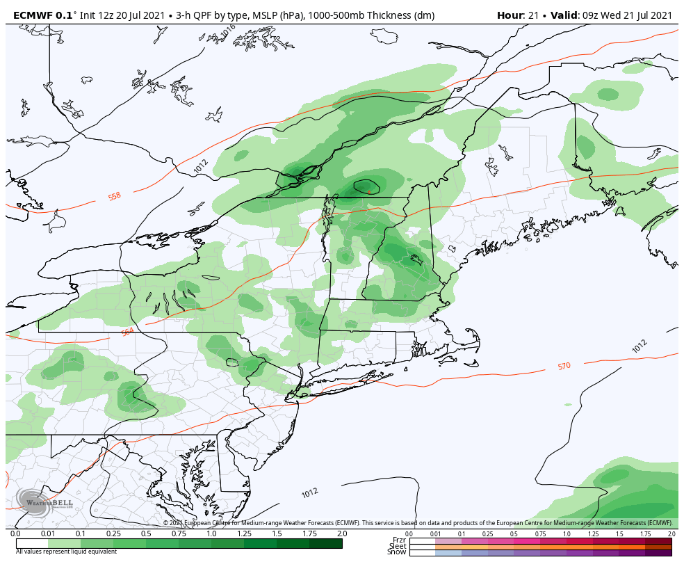
WEDNESDAY: Mixed clouds and sunshine and holding dry northern areas. Scattered afternoon showers southern areas, maybe a late day thunderstorm. Cooler. A high 70 to 75. North winds 10 mph.

Looking further ahead…

WEDNESDAY NIGHT: Mostly clear. Considerable valley fog. A low 50 to 55.

THURSDAY: Considerable cloudiness. A rising chance for periods of rain or showers by late afternoon, moderate to heavy at times with a rumble of thunder. A high 70 to 75.

FRIDAY: Lots of clouds, cool and damp. Chance for showers or periods of light rain. A low 55 to 60. A high in the upper 60s.

SATURDAY: Lots of clouds. A few showers across northern areas. A low 50 to 55. Chilly for this time of year. A high in the mid to upper 60s.

Average low mid-50s to low 60s. Average highs in the low-70s to around 80.

Warmest surface water temperatures early August based off local lake climatology.

RH/7-27forecast][end]

Updated Monday Evening Forecast — July 26th, 2021

TONIGHT: Variable clouds. Scattered showers and isolated thunderstorms developing this evening. A low upper 50s to around 60. Light southwest winds.

TOMORROW: Mixed hazy sunshine and clouds. Widely scattered showers and thunderstorms southern areas, one or two briefly strong & locally heavy. A high around 75. Light northwest winds.

TUESDAY NIGHT: Lots of clouds. Showers likely, maybe a rumble of thunder southern areas. Less humid. A low

In the upper 50s. Light northeast winds.

WEDNESDAY: Mixed clouds and sunshine but holding dry northern areas. Scattered afternoon showers southern areas, maybe a late day thunderstorm. Cooler. A high 70 to 75. North winds 10 mph.

Looking further ahead…

WEDNESDAY NIGHT: Mostly clear. Considerable valley fog. A low 50 to 55.

THURSDAY: Considerable cloudiness. A rising chance for showers developing later in the afternoon, maybe a rumble of thunder. A high 70 to 75.

FRIDAY: Lots of clouds, cool and damp. Chance for showers or periods of light rain. A low upper 50s. A high in the upper 60s.

SATURDAY: Lots of clouds. Chance for showers. A low around 55. Chilly for this time of year. A high just 65 to 70.

Average low mid-50s to low 60s. Average highs in the mid-70s to low 80s.

Warmest surface water temperatures early August based off local lake climatology.

RH/7-26forecast][end]

Updated Monday morning Forecast — July 26th, 2021

TODAY: Areas of dense fog burn off to hazy/smoky sunshine. Widely scattered afternoon showers maybe a late day isolated thunderstorm far northern areas. A high in the upper 70s to around 80. Light west winds.

TONIGHT: Partly cloudy. A few showers and possible isolated thunderstorms. A low near 60. Light southwest winds.

TUESDAY: Mixed sun and clouds. Scattered afternoon showers and thunderstorms across southern areas, some briefly strong & locally heavy. A high around 75. Light northwest winds.

Looking further ahead…

TUESDAY NIGHT: Variable clouds. Widely scattered showers and thunderstorms lingering southern areas. Not so muggy. A low near 55.

WEDNESDAY: Morning clouds with a chance for showers western and southern areas, gives way to periods of afternoon sunshine. Cooler. A high 70 to 75.

THURSDAY: Considerable cloudiness. Chance for frequent showers, maybe a rumble of thunder. A low in the low 50s. A high low to mid 70s.

FRIDAY: Mostly cloudy Cool and damp. Chance for showers, moderate at times. A low around 55. A high in the mid-60s.

Average low mid-50s to low 60s. Average highs in the mid-70s to low 80s.

Warmest surface water temperatures early August based off local lake climatology.

RH/7-26forecast][end]

Updated Friday Evening Forecast — July 23rd, 2021

Full Buck Moon 10:37 PM

TONIGHT: An early evening shower possible, then mostly clear and “fully moonlit.” Patchy valley fog. A low 50 to 55. Little wind.

TOMORROW: Considerable valley fog early east of the Greens, then mostly sunny with high cloudiness arriving late. A high mid to upper 70s. Light south winds.

SATURDAY NIGHT: Thickening clouds. Periods of rain or showers arriving near daybreak. A low in the lower 60s. Light southeast winds, breezier Lake Champlain.

SUNDAY: Rain likely in the morning, moderate for a time…tapering to scattered afternoon showers. Intervals of late day sunshine developing. Much more humid. A high in the mid-70s. South to southwest winds 10 to 15 mph except gusty Lake Champlain.

Looking further ahead…

SUNDAY NIGHT: Scattered clouds with an early shower possible, then clearing & partially moonlit. Patchy valley fog. A low in the low 60s.

MONDAY: Partly to mostly sunny. A few isolated brief passing showers. A low. A high in the upper 70s.

TUESDAY: Mixed sun and clouds. Widely scattered showers & thunderstorms. A low near 60. A high around 75.

WEDNESDAY: Morning clouds giving way to periods of afternoon sunshine. Slight chance for a shower. A low in the 50s. A high 70 to 75.

Average low mid-50s to low 60s. Average highs in the upper-70s to low 80s.

Warmest surface water temperatures early August based off local lake climatology.

RH/7-23forecast][end]

Updated Friday morning Forecast — July 23rd, 2021

TODAY: Morning fog burns off to variable clouds. Scattered showers east if the Champlain Valley this afternoon. A couple isolated brief thunderstorms possible toward New Hampshire. A high 70 to 75. Light northwest winds.

TONIGHT: A few clouds with an evening shower eastern areas, then clearing. Patchy valley fog. A low 50 to 55. Little wind.

SATURDAY: A beauty. Morning fog burns off to lots of sunshine with a few high clouds. A high around 75. Light southwest winds.

Looking further ahead…

SATURDAY NIGHT: Thickening clouds. Periods of rain or showers likely by daybreak. A low around 60.

SUNDAY: Rain likely, moderate at times in the morning…tapering to scattered showers in the afternoon with breaks of intervals of sunshine late. Muggier. A high 70 to 75.

MONDAY: Partly to mostly sunny. A few isolated brief passing showers. A low 60 to 65. A high upper 70s to near 80.

TUESDAY: Mixed sun and clouds. Widely scattered showers & thunderstorms. A low near 60. A high around 75.

WEDNESDAY: Morning clouds giving way to periods of afternoon sunshine. Slight chance for a shower. A low 55 to 60. A high in the lower 70s.

Average low mid-50s to low 60s. Average highs in the upper-70s to low 80s.

Warmest surface water temperatures early August based off local lake climatology.

RH/7-23forecast][end]

Updated Thursday Night Forecast — July 22nd, 2021

TONIGHT: Partly cloudy with isolated showers. Patchy valley fog.A low around 55. Light northwest winds.

TOMORROW: Morning fog burns off to variable clouds. Scattered showers east of the Green Mountains. Slight chance for a brief thunderstorms toward New Hampshire. A high in the low 70s. Light northwest winds.

FRIDAY NIGHT: Cloudy periods with an evening shower, then clearing. A low 50 to 55. Little wind.

SATURDAY: A beauty. Patchy valley fog early, then increasing high cloudiness. A high in the mid-70s. Light southwest winds.

Looking further ahead…

SATURDAY NIGHT: Thickening clouds leading to a rising chance for light rain, possibly moderate after midnight. A low in the

upper 50s.

SUNDAY: Gray skies. Rain likely, moderate at times thru mid-afternoon tapering to widely scattered showers. Muggier. A high 70 to 75.

MONDAY: Mixed clouds and sun. Humid with isolated showers. A low near 65. A high upper 70s to near 80.

TUESDAY: Partly to mostly sunny. Widely scattered showers & thunderstorms. A low near 60. A high upper 70s.

WEDNESDAY: Mainly cloudy. Chance for showers or periods of rain. A low in the low 60s. A high 70 to 75.

Average low mid-50s to low 60s. Average highs in the upper-70s to low 80s.

Meteorological summer peaks approx. July 22nd based off local climatology. Evening thunderstorms just one

RH/7-22forecast][end]

Updated Thursday Morning Forecast — July 22nd, 2021

TODAY: Pick of the week. Morning fog burns off to partly to mostly sunny skies. A bit cool and at times breezy. A few isolated afternoon sprinkles Northeast kingdom. A high in the low 70s. Northwest breeze 10 mph.

TONIGHT: Partly cloudy isolated showers. Patchy valley fog.A low around 55. Light northwest winds.

FRIDAY: Morning fog burns off to partly sunny skies. Widely scattered mountain sprinkles or passing showers. A high in the low 70s. Light northwest winds.

Looking further ahead…

FRIDAY NIGHT: A couple evening showers otherwise partly cloudy. A low 50 to 55.

SATURDAY: A beauty. Patchy valley fog early, then increasing high cloudiness. A high in the mid-70s.

SUNDAY: Gray and cool. A chance for periods of rain maybe a rumble of afternoon thunder. Becoming muggier. A low near 60. A high in the lower 70s.

MONDAY: Mixed clouds and sun. Humid with isolated showers. A low near 65. A high in the lower 80s.

TUESDAY: Partly mostly sunny. A low near 60. A high upper 70s.

Average low mid-50s to low 60s. Average highs in the upper-70s to low 80s.

Meteorological summer peaks approx. July 22nd based off local climatology. Evening thunderstorms just one

RH/7-21forecast][end]

Updated Wednesday Evening Forecast — July 21st 2021

TONIGHT: A leftover early evening shower, then clearing skies. Considerable valley fog overnight. A low 50 to 55. Light northwest winds.

TOMORROW: Pick of the week. Morning fog burns off to partly to mostly sunny skies. A bit cool and at times breezy. A few sprinkles possible Northeast kingdom. A high near 70. Northwest breeze 10 mph.

THURSDAY NIGHT: Partly cloudy isolated showers. Patchy valley fog.A low around 55. Light west winds.

FRIDAY: Morning fog burns off to partly sunny skies. Widely scattered mountain sprinkles or passing showers. A high in the low 70s. Light northwest winds.

Looking further ahead…

FRIDAY NIGHT: A couple evening showers otherwise partly cloudy. A low 50 to 55

SATURDAY: A beauty. Patchy valley fog early, then increasing high cloudiness. A high in the mid-70s.

SUNDAY: Gray and cool. Chance for periods of rain maybe a thunderstorm. Becoming muggier. A low near 60. A high around 70.

MONDAY: Mixed clouds and sun. Humid with isolated showers. A low in the low 60s. A high near 80.

TUESDAY: Partly mostly sunny. A low near 60. A high upper 70s to near 80.

Average low mid-50s to low 60s. Average highs in the upper-70s to low 80s.

Meteorological summer peaks approx. July 22nd based off local climatology. Evening thunderstorms just one

RH/7-21forecast][end]

Updated Wednesday morning Forecast — July 21st, 2021

TODAY: Clouds with areas of morning fog. Widely scattered showers and a few breaks of afternoon sun. Cooler. A high around 70. Southwest winds shifting to northwesterly 10 to 15 mph in the afternoon.

TONIGHT: A leftover early evening shower, then clearing skies. Considerable valley fog overnight. A low 50 to 55. Light northwest winds.

THURSDAY: Pick of the week. Morning fog burns off to partly to mostly sunny skies. A bit cool and at times breezy. A few sprinkles possible Northeast kingdom. A high near 70. Northwest breeze 10 to 15 mph.

Looking further ahead…

THURSDAY NIGHT: A few clouds then mostly clear. Considerable valley fog.A low around 55.

FRIDAY: Morning fog burns off to partly sunny skies. Widely scattered mountain sprinkles. A high in the low 70s.

SATURDAY: A beauty. Morning fog, then lots of sunshine. A low 50 to 55. A high in the mid-70s.

SUNDAY: Cloudy. Chance for showers & thunderstorms. Becoming muggy. A low 60 to 65. A high in the mid-70s.

MONDAY: Cloudy periods in the morning then periods of afternoon sunshine. Humid. A low 60 to 65. A high near 80.

Average low mid-50s to low 60s. Average highs in the upper-70s to low 80s.

Meteorological summer peaks approx. July 22nd based off local climatology. Evening thunderstorms just one

RH/7-20forecast][end]

Updated Tuesday Evening Forecast — July 20th, 2021

Severe Thunderstorm Watch expires at 11 PM this evening…

TONIGHT: Maybe a shower early. Showers & thunderstorms likely later this evening & overnight. Some potentially strong to severe with locally heavy downpours. Practice lightning safety. Otherwise variably cloudy. A low about 60. Light southeast winds.

TOMORROW: Lots of clouds and cooler. Showers…with a rumble or two of afternoon thunder. A high in the lower 70s. Southwest winds shifting to northwesterly 10 to 15 mph in the afternoon.

WEDNESDAY NIGHT: A leftover early evening shower, then clearing skies. Considerable valley fog overnight. A low mid-50s. Light northwest winds.

THURSDAY: Pick of the week. Morning fog burns off to more sun than clouds but cool and at times breezy. A high in the low 70s.

Looking further ahead…

THURSDAY NIGHT: A few clouds then mostly clear. Considerable valley fog.A low 50 to 55.

FRIDAY: Partial morning sun then afternoon clouds. Isolated to widely scattered showers in the afternoon. A high in the low 70s.

SATURDAY: Mostly sunny. A low 50 to 55. A high 70 to 75.

SUNDAY: Cloudy. Chance for rain or showers toward southern areas. A low upper 50s. A high in the mid-70s.

Average low mid-50s to low 60s. Average highs in the upper-70s to low 80s.

Meteorological summer peaks approx. July 22nd based off local climatology.

RH/7-20forecast][end]