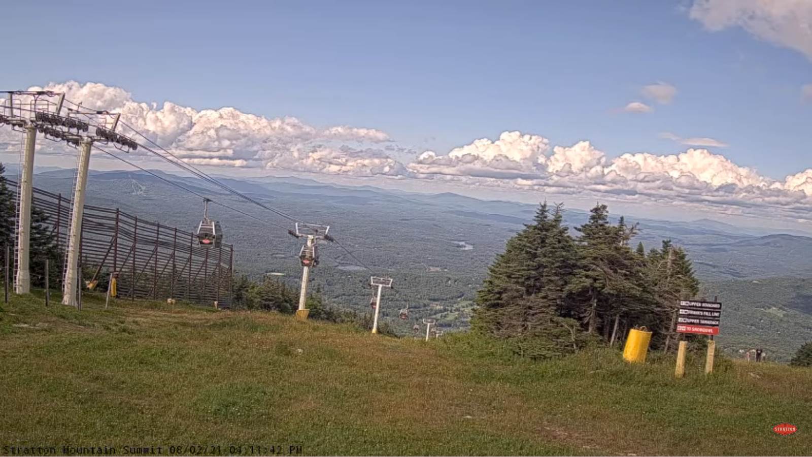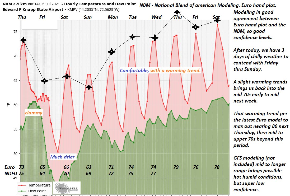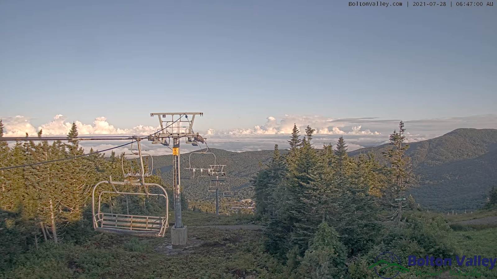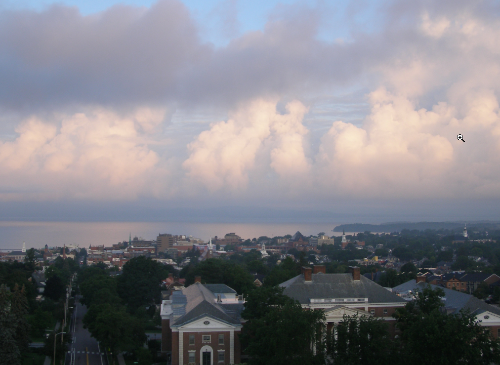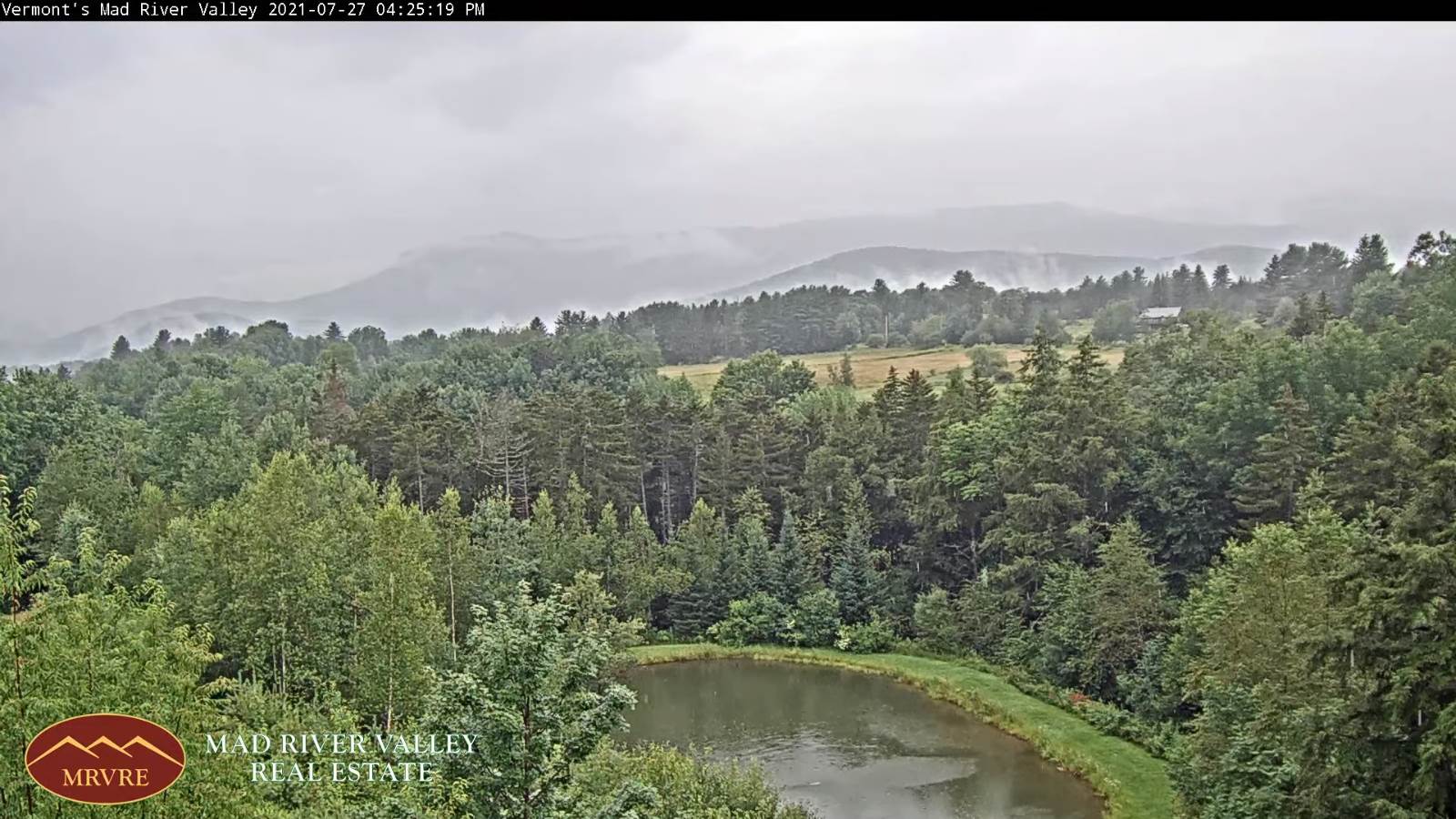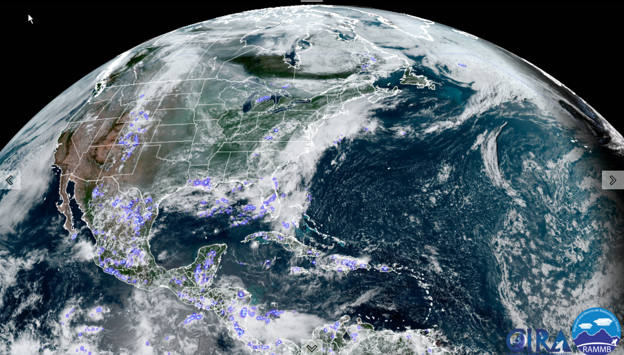
TONIGHT: Clear but with a thin high overcast. Patchy valley fog. A low 50 to 55. Light south winds.
TOMORROW: High cloudiness with hints of sunshine. A high mid to upper 70s. Light southwest winds.
WEDNESDAY NIGHT: Fair with high clouds. A low around 55. Light southeast winds.
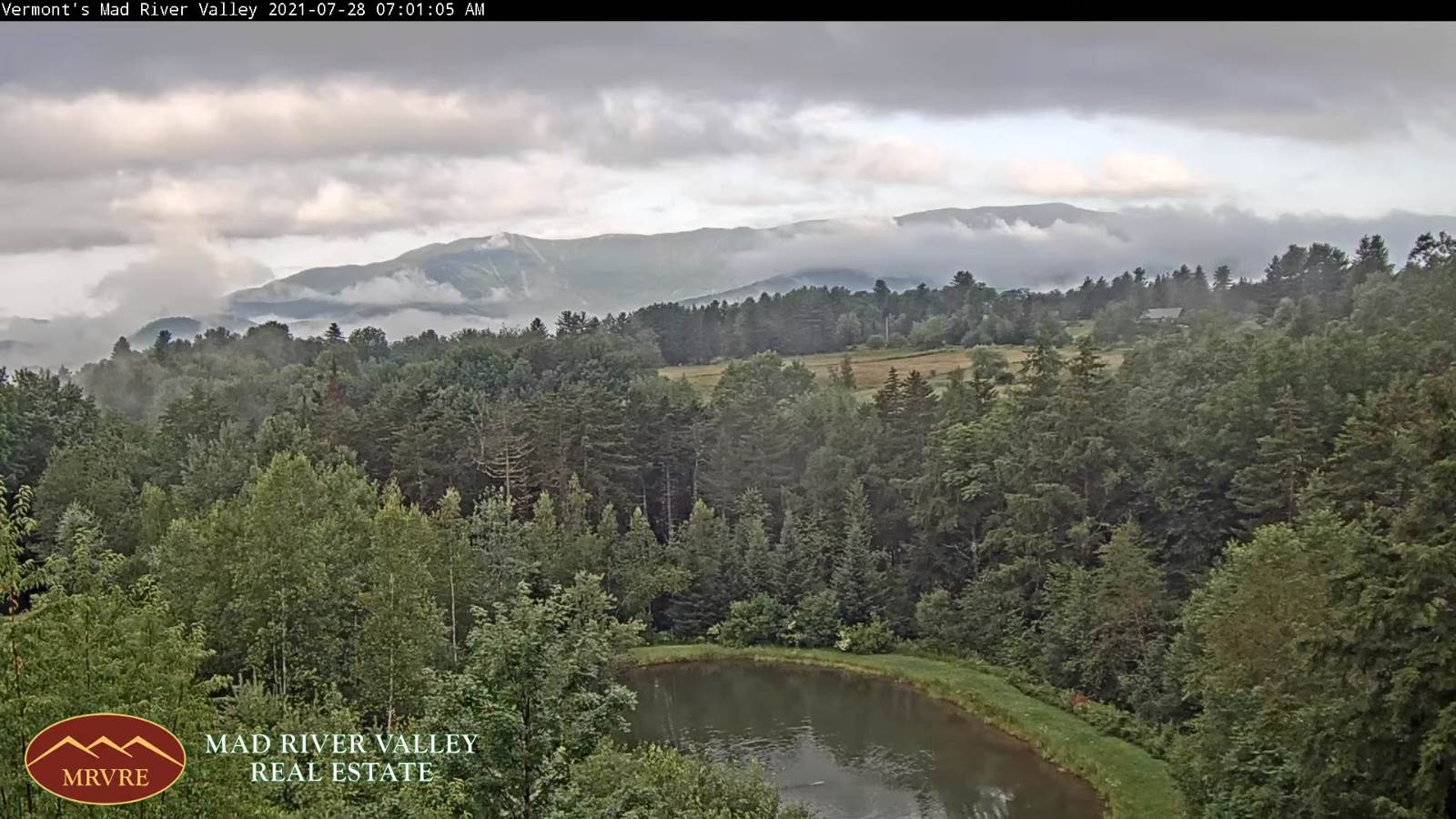
THURSDAY: Morning fog then partially sunny with high cloudiness. A high upper 70s. Light southeast winds.
Looking further ahead…
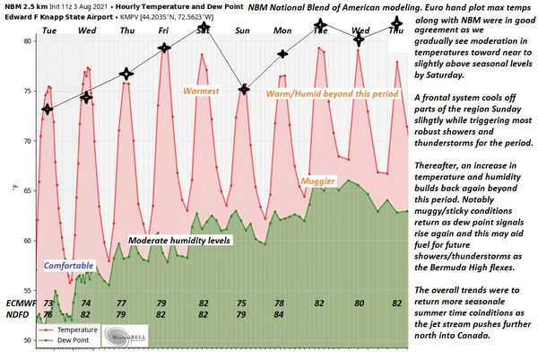
THURSDAY NIGHT: Mostly clear. Patchy valley fog. A low 55 to 60.
FRIDAY: Mostly sunny, but muggier. A high upper 70s to around 80.
SATURDAY: Clouds mixed with sun. Chance for a few showers near the Canadian border. A low around 60. A high 80 to 85.
SUNDAY: Clouds with a few breaks of sunshine. Chance for afternoon showers and a few thunderstorms. A low 60 to 65. A high 75 to 80.
MONDAY: Morning clouds give way to periods of sun. Scattered showers maybe an afternoon thunderstorm. A low in the mid-60s. A high near 80.
Average low 55 to 60. Average highs in the low-70s to around 80.
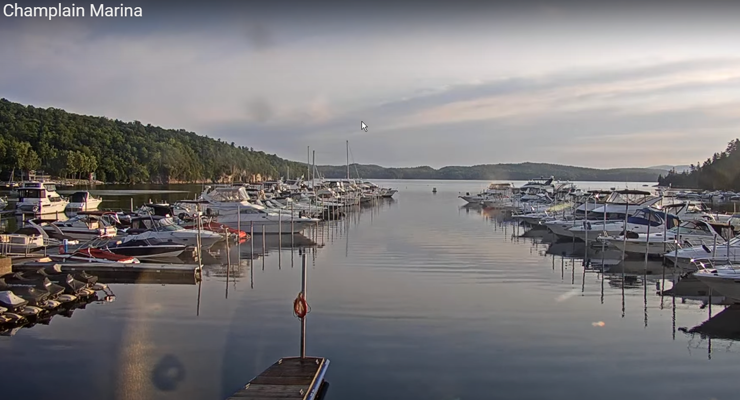
Warmest surface water temperatures early August based off local lake climatology.
RH/8-3forecast][end]