
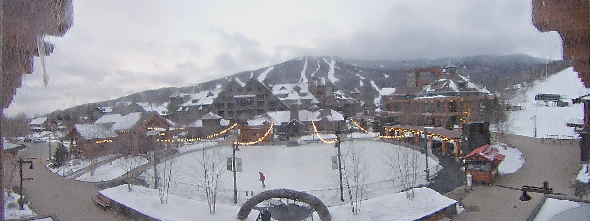
TONIGHT: Cloudy. Isolated flurries early, becoming more frequent later on. Dusting to a half inch accumulation. A low mid to upper 20s. Light south winds, but breezy near Lake Champlain.
TOMORROW: Considerable cloudiness. Scattered flurries, about a dusting to an inch, exiting to break or two of sun. Turning blustery. A high 32 to 35. Westerly winds 10 to 25 mph and gusty in the afternoon.
WEDNESDAY NIGHT: Cloudy periods. Maybe a stray flurry late. A low in the 20s. Light south winds, strongest near
Lake Champlain.
THURSDAY: Gray. Mixed snow and rain showers, maybe a half inch high terrain. Milder. A high in the low 40s. South winds 10 to
15 mph.
Looking further ahead…
THURSDAY NIGHT: Lots of clouds. Scattered rain showers changing to snow showers toward morning. A low 20 to 25.
FRIDAY: Chance for snow flurries but little accumulation…exiting to periods of sunshine. Blustery at times. A high mid to upper 30s.
SATURDAY: Mainly cloudy. Scattered mountain snow showers or flurries, minor snow accumulation. A low around 10. A high 32 to 35.
SUNDAY: Sun and clouds. A low 10 to 15. A high near 30.
Average lows in the upper teens to mid-20s. Average highs mid-30s to low 40s.
RH/11-30forecast][end]
