Updated Tuesday Evening Forecast — February 8th, 2022

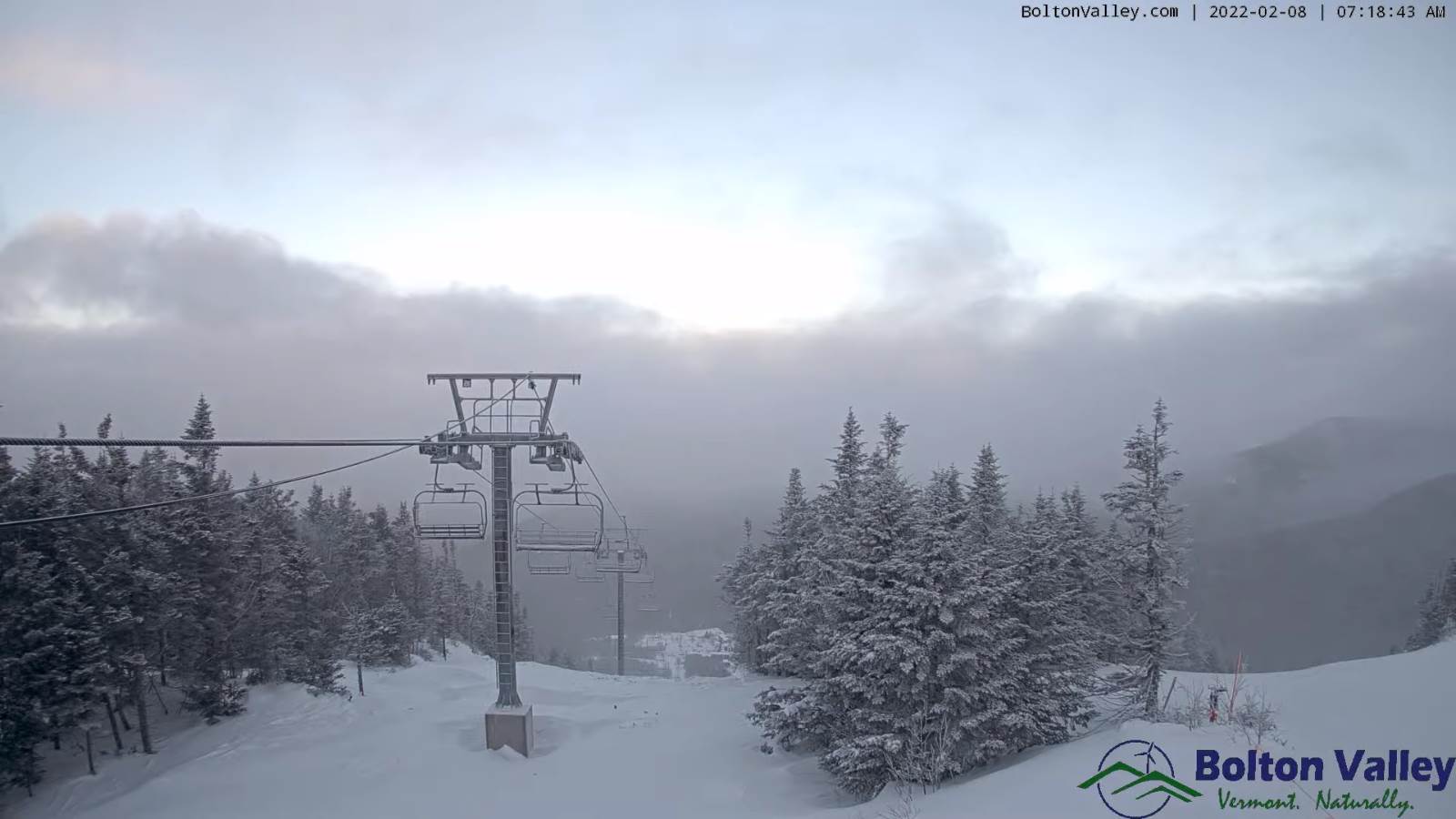
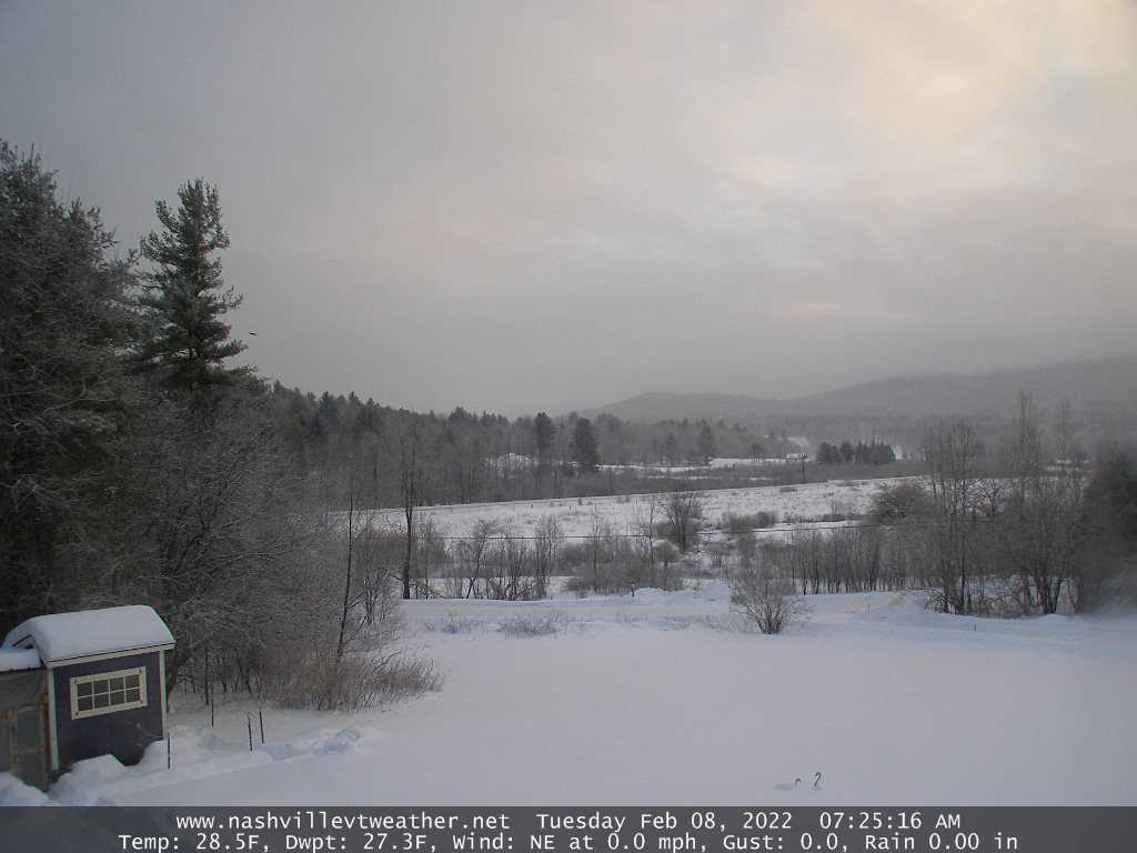
TONIGHT: Lots of clouds. Scattered mountain flurries with a dusting in spots. A low upper teens to low 20s. West winds

10 mph.

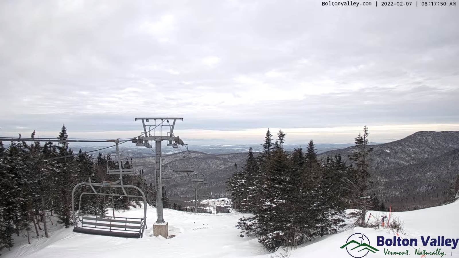
TOMORROW: Pick of the week. Periods of sun mixed with clouds. A high mid to upper 30s. South winds 10 mph.

WEDNESDAY NIGHT: Mostly cloudy. Widely scattered snow showers or flurries developing after midnight…with light coating of snow. A low around 25 but 30 western Vermont. Light south winds, breezy near Lake Champlain

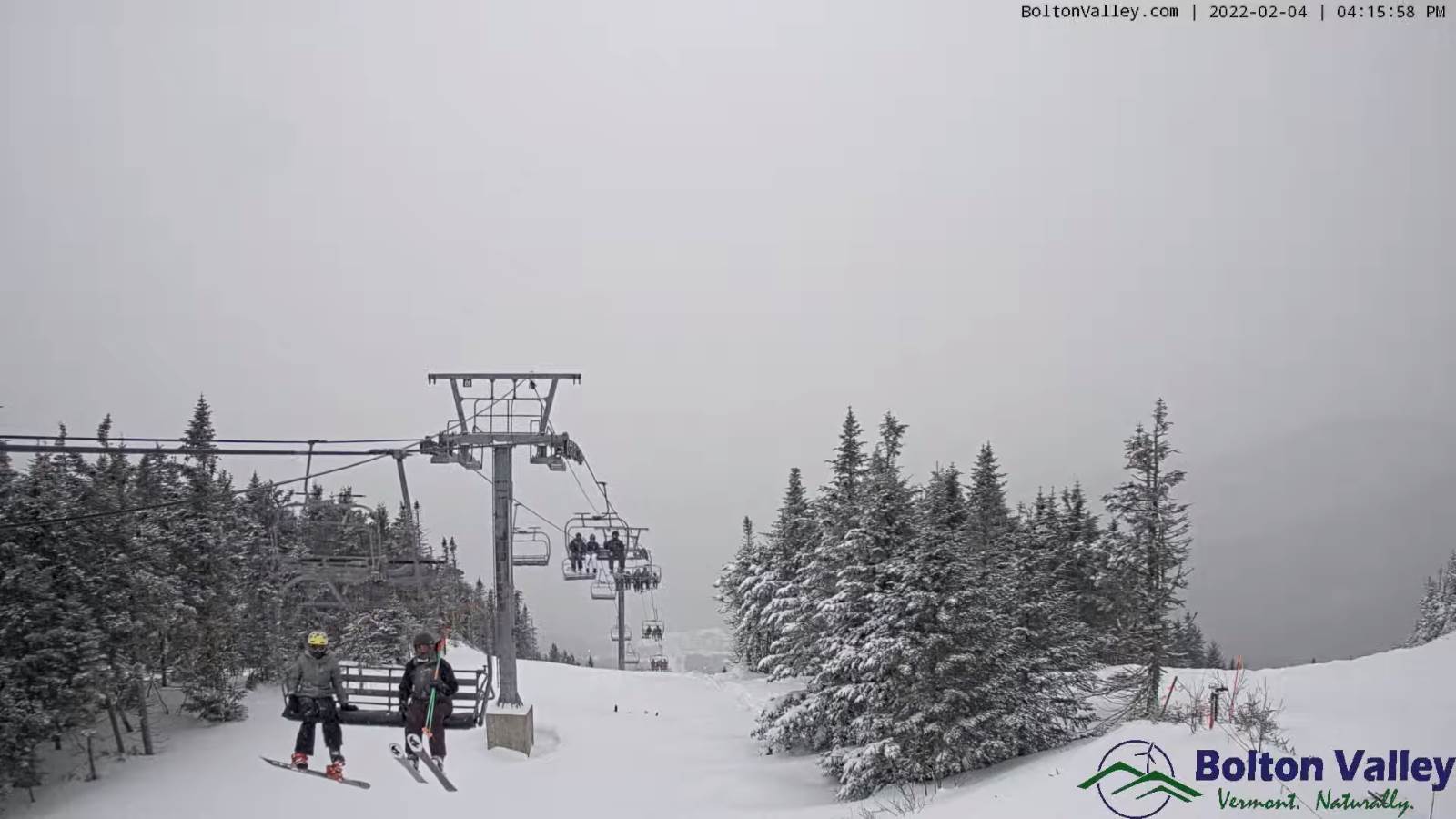
THURSDAY: Overcast. Scattered rain & snow showers, minor slushy accumulation in the higher terrain. Some late afternoon intervals of sun and continued milder. A high upper 30s to around 40. Wind becoming southwesterly at 10 to 15 mph.

Looking further ahead…

THURSDAY NIGHT: Partly to mostly cloudy. Scattered flurries far northern areas with a dusting. A low 20 to 25.

FRIDAY: Partly sunny then clouding up in the afternoon. A high around 35

SATURDAY: Gray. A rising chance for mixed rain and snow showers, with minor accumulation in the higher elevations. A low upper 20s to around 30. A high reaching near 45.

SUNDAY: Scattered mountain snow showers and flurries with minor accumulation thru daybreak. Increasing sunshine late morning on. Blustery and turning sharply colder with lowered wind chills. Temperatures in the upper single digits to mid-teens.

Average lows mid-single digits to low teens. Average highs ranging mid-20s to low 30s.

End of Met. Winter March 9th

RH/2-8 forecast][end]

Updated Tuesday Morning Forecast — February 8th, 2022

TODAY: Clouds, maybe a few breaks of sun. Occasional flurries near the Green Mountains and close to New Hampshire this morning, and again late today across the Northeast Kingdom with light coating possible. A high about 35. Light northwest winds.

TONIGHT: Clouds give way to partial clearing later on. Scattered mountain flurries with a dusting in spots. A low mid-teens to around 20. West winds 10 mph.

WEDNESDAY: Pick of the week. Mostly cloudy northern areas with periods of sun otherwise. A high mid to upper 30s. South winds 10 mph.

Looking further ahead…

WEDNESDAY NIGHT: Mostly cloudy. Widely scattered flurries developing overnight, with light coating of snow. A low 25 to 30 east of the Greens to around 30 western Vermont.

THURSDAY: Gray. Scattered rain & snow showers, minor slushy accumulation in the higher terrain. Some late afternoon breaks of sun and much continued milder. A high upper 30s to near 40.

FRIDAY: Mixed clouds and sunshine. A low upper teens to mid-20s. A high 32 to 35.

SATURDAY: Gray. A rising chance for mixed rain and snow showers, with minor accumulation in the higher elevations. A low upper 20s to around 30. A high reaching 40 to 45.

SUNDAY: Scattered mountain snow showers and flurries with minor accumulation thru daybreak. Increasing sunshine late morning on. Blustery and turning sharply colder with lowered wind chills. Temperatures falling thru the teens to upper single digits by days end.

Average lows mid-single digits to low teens. Average highs ranging mid-20s to low 30s.

End of Met. Winter March 9th

RH/2-8 forecast][end]

Updated Monday Evening Forecast — February 7th, 2022

Winter Weather Advisory Orange county and point south…4 PM thru into early Tuesday…

TONIGHT: Considerable cloudiness. Light wet snow showers or flurries east of the Green Mountains this evening, a dusting to an inch southern areas and near the Connecticut River Valley. A low 25 to 30. Light southeast winds.

TOMORROW: Clouds with a few breaks of sun in the afternoon. A few stray flurries possible toward New Hampshire. A high about 35. Light northwest winds.

TUESDAY NIGHT: Partly cloudy. A stray flurry. A low mid-teens to around 20. West winds 10 mph.

WEDNESDAY: Pick of the week. Mixed clouds and sun. A high 35 to 40. South winds 10 mph.

Looking further ahead…

WEDNESDAY NIGHT: Mostly cloudy. A low around 25 east of the Greens to around 30 western Vermont.

THURSDAY: Lots of clouds. Widely scattered flurries. A high mid to upper 30s.

FRIDAY: Mixed clouds and sunshine. A low 15 to 20. A high 30 to 35.

SATURDAY: Gray. A rising chance for snow showers, possibly mixed with rain on valley floors. A low around 30. A high mid to upper 30s.

Average lows mid-single digits to low teens. Average highs ranging mid-20s to low 30s.

End of Met. Winter March 9th

RH/2-7 forecast][end]

Updated Monday morning Forecast — February 7th, 2022

Winter Weather Advisory Orange county and point south…4 PM thru into early Tuesday…

TODAY: Mainly gray. Occasional light accumulating snow or snow or flurries developing southern and eastern Vermont later this afternoon with a dusting to an inch by dark making for snow coated roads eastern areas. A high 30 to 35. Light south winds breezy Champlain Valley.

TONIGHT: Considerable cloudiness. Light accumulating snow showers or flurries, a dusting to an inch Connecticut River Valley. A low in the upper 20s to near 30. Light southeast winds.

TUESDAY: Clouds with a few breaks of sun in the afternoon. A few stray flurries possible toward New Hampshire. A high 32 to 35. Light north to northwest winds.

Looking further ahead…

TUESDAY NIGHT: Partly cloudy. Maybe a flurry. A low mid to upper teens.

WEDNESDAY: Pick of the week. Partly to mostly sunny. A high mid to upper 30s.

THURSDAY: Lots of clouds. Chance for light snow showers or flurries, with minor accumulation. A low mid to upper 20s. A high near 35.

FRIDAY: Mixed clouds and sunshine. A low 15 to 20. A high around 32.

SATURDAY: Gray. A rising chance for snow showers, possibly mixed with rain on valley floors. A low 25 to 30. A high 35 to 40.

Average lows mid-single digits to low teens. Average highs ranging mid-20s to low 30s.

End of Met. Winter March 9th

RH/2-7 forecast][end]

Updated Friday Evening Forecast — February 3rd, 2022

Winter Storm Warning extended thru early evening…

TONIGHT: Becoming partly to mostly cloudy. Light snow early, winds down to scattered flurries. Dusting to an inch. Cold. A low zero to 5 above. Light northwest winds.

TOMORROW: Morning clouds with any leftover flurries exiting, then increasingly sunny. Blustery at times in the afternoon and cold. A high ranging upper single digits to near 15. Northwest winds 10 to 15 mph with cold wind chills.

SATURDAY NIGHT: Mostly clear and frigid. A low 5 to 15 below. Light northwest winds.

SUNDAY: More sun than clouds. A high upper teens to around 20. Light southeast winds.

Looking further ahead…

SUNDAY NIGHT: Partly cloudy. A low 5 to 10 above.

MONDAY: Mostly cloudy. Maybe a brief flurry. A high 25 to 30

TUESDAY: Partly to mostly cloudy. A low zero to 10 above. A high 30 to 35.

WEDNESDAY: Partly to mostly sunny. A low 10 to 15. A high in the mid-30s.

Average lows 5 to 15. Average highs ranging mid-20s to low 30s.

End of Met. Winter March 9th

RH/2-3 forecast][end]

Updated Friday Morning Forecast — February 3rd, 2022

Winter Storm Warning expires at 1 PM…

TODAY: Gray. Accumulating light snow likely. Additional 1 to 3” with snow coated roads. A messy mix with glazing Bennington into southern Windsor and Windham counties with sleet and freezing rain before gradually changing to snow. Total storm snowfall…8 to 15”. A high 15 to 20. Light north winds about 10 mph western Vermont.

TONIGHT: Becoming partly to mostly cloudy. Scattered snow showers or flurries exiting overnight, dusting to a fluffy inch. Colder. A low zero to 5 above. Light northwest winds.

SATURDAY: Morning clouds with an early mountain flurry exiting, then increasingly sunny. Blustery at times in the afternoon and cold. A high upper single digits northern areas…to 10 to 15 otherwise. Northwest winds pick up 10 to 15 mph with cold wind chills.

Looking further ahead…

SATURDAY NIGHT: Mostly clear and frigid. A low 5 to 15 below.

SUNDAY: More sun than clouds but cloudy periods northern areas. A high mid-teens to low 20s.

MONDAY: Mostly cloudy. Chance for a flurry or two. A low 5 to 15 above. A high in the mid-20s.

TUESDAY: Partly to mostly cloudy. A low zero to 10 above. A high near 35.

WEDNESDAY: Partly to mostly sunny. A low 10 to 15. A high in the mid to upper 30s.

Average lows 5 to 15. Average highs ranging mid-20s to low 30s.

End of Met. Winter March 9th

RH/2-3 forecast][end]

Updated Thursday Evening Forecast — February 3rd, 2022

Winter Storm Warning into Friday morning…

TONIGHT: Overcast. Accumulating snow…moderate at times. Accumulation about 5 to 9 inches. A messy mix near the Massachusetts border with hazardous travel and glazing possibly exceeding a quarter inch. A low around 15.Northerly winds about 10 mph, stronger near Lake Champlain.

TOMORROW: Gray. Accumulating light snow likely. Additional 1 to 3” with the most central and southern areas. A messy mix near the Massachusetts border changing to snow. Total storm snowfall…6 to 15”. A high 15 to 20. Light north winds about 10 mph western Vermont.

FRIDAY NIGHT: Mostly cloudy. Scattered snow showers or flurries exiting overnight, less than an inch accumulation. Colder. A low zero to 10 above. Light northwest winds.

SATURDAY: Morning cloudiness, then partly sunny. Blustery at times in the afternoon and cold. A high upper single digits to low teens. Northwest winds pick up 10 to 15 mph with cold wind chills.

Looking further ahead…

SATURDAY NIGHT: Clear and frigid. A low 5 to 15 below.

SUNDAY: Sunshine becoming filtered by high cloudiness late. Frigid at night. A high 15 to 20.

MONDAY: More clouds than sun. Chance for a flurry or two. A low 5 to 15 above. A high in the mid-20s.

TUESDAY: Partly to mostly cloudy. A low zero to 10 above. A high 35 to 40.

Average lows single digits to low teens. Average highs ranging mid-20s to low 30s.

End of Met. Winter March 9th

RH/2-3 forecast][end]

Updated Wednesday morning Forecast — February 2nd, 2022

TODAY: Mainly gray with a hint of sunshine. A high upper 30s with low 40s Champlain Valley. South winds 10 to 20 mph stronger across Lake Champlain.

Winter Storm Warning Thursday morning thru Friday afternoon

TONIGHT: Cloudy. Scattered light showers mixed with wet snowflakes northern areas developing toward daybreak. A low 32 to 35. Light southwest winds.

THURSDAY: Gray. Occasional light rain mixing with & changing to wet snow north to south. A dusting to 2” northern areas. Temperatures holding about 32 to 35 degrees. Light northwest winds.

Looking further ahead…

THURSDAY NIGHT: Overcast. Accumulating snow likely…moderate at times. Accumulation about 3 to 7”. A wintry mix southern areas. A low in the mid-teens.

FRIDAY: Cloudy. Chance for accumulating snow, or snow showers. Additional 1 to locally 4” with the most central and southern Vermont. A messy mix near the Massachusetts border with hazardous travel. Little change in temperature with a high in the mid to upper teens.

SATURDAY: A few clouds early, then mostly sunny, below normal in temperature. A low zero to 5 above. A high in the low to mid-teens.

SUNDAY: Sunshine becoming filtered by high cloudiness. Frigid. A low 5 to 15 below. A high pushing to near 20.

MONDAY: Mostly cloudy. Scattered flurries far northern areas. A low ranging from zero to 15 above. A high 25 to 30.

Average lows single digits to low teens. Average highs ranging mid-20s to low 30s.

End of Met. Winter March 9th

RH/2-1 forecast][end]

Updated Tuesday Evening Forecast — February 1st, 2022

TONIGHT: High cloudiness. Breezy. A low about 25. South winds 10 to 15 mph stronger across Lake Champlain.

TOMORROW: Mainly gray with a hint of sunshine. A high near 40. South winds 10 to 15 mph stronger across Lake Champlain.

Winter Storm Watch late Wednesday night thru Friday afternoon

WEDNESDAY NIGHT: Cloudy. Periods of light rain…mixed with wet snow northern areas. A low 32 to 35. Light southwest winds.

THURSDAY: Gray. Chance for light rain mixing with or changing to wet snow from north to south. A dusting to 2” most northern areas. Temperatures holding about 32 to 35 degrees. Light northwest winds.

Looking further ahead…

THURSDAY NIGHT: Overcast. Accumulating snow likely…moderate at times. Accumulation about 3 to 6”. A wintry mix southern areas. A low around 15 degrees.

FRIDAY: Cloudy. Chance for light snow, or snow showers. Additional trace to 2”amounts. A messy mix across southern areas…causing hazardous travel southern Vermont. Temperatures in the upper teens falling gradually thru the day.

SATURDAY: A few clouds early, then increasing sunshine, but cold. A low around zero degrees. A high near 10 above.

SUNDAY: Bright sunshine and blue skies after few morning clouds. Frigid. A low 5 to 15 below. A high 15 to 20.

Average lows single digits to low teens. Average highs ranging mid-20s to low 30s.

End of Met. Winter March 9th

RH/2-1 forecast][end]

Tuesday morning Forecast — February 1st, 2022

TODAY: Sunshine becoming filtered through high clouds. Clouding up across portions of eastern Vermont. A high in the upper 20s to near 30. Southeast winds 10 to 15 mph stronger near Lake Champlain and gusty.

TONIGHT: Considerable cloudiness. Blustery. A low about 25. South winds 10 to 15 mph stronger across Lake Champlain.

WEDNESDAY: Mainly gray with a hint of sunshine. A high near 40. South winds 10 to 15 mph stronger across Lake Champlain.

Looking further ahead…

Winter Storm Watch late Wednesday night thru Friday afternoon

WEDNESDAY NIGHT: Cloudy. Periods of light rain…mixed with wet snow northern areas with a slushy inch higher terrain. A low 32 to 35.

THURSDAY: Gray. Chance for light rain mixing with or changing to wet snow from north to south. Accumulation of 1 to 3 inches, most northern areas. Temperatures holding about 32 to 35 degrees.

FRIDAY: Cloudy. Chance for snow central and northern areas…possibly moderate to heavy at times…with messy sleet and freezing rain/glazing…causing hazardous travel southern Vermont. Temperatures in the upper teens falling gradually thru the day.

SATURDAY: A few clouds early, then increasing sunshine, but cold. A low around zero degrees. A high near 10 above.

SUNDAY: Bright sunshine and blue skies after few morning clouds. Frigid. A low 5 to 15 below. A high 15 to 20.

Average lows single digits to low teens. Average highs ranging mid-20s to low 30s.

End of Met. Winter March 9th

RH/2-1 forecast][end]