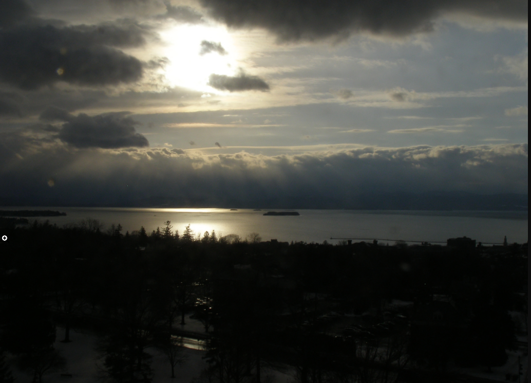
TONIGHT: A few evening clouds then clear for a time. More clouds arriving toward daybreak. A low 5 above to 5 below. Light winds.
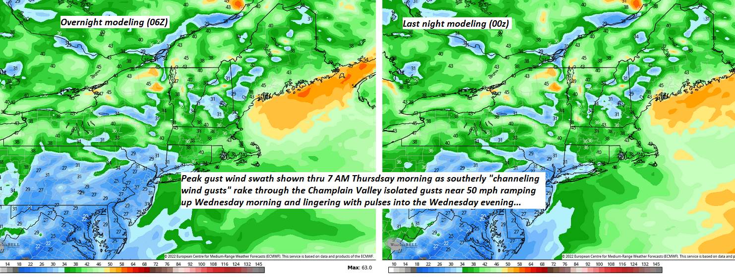
Wind Advisory Champlain Valley 10 AM thru 10 PM Full Snow Moon 11:57 AM Wednesday
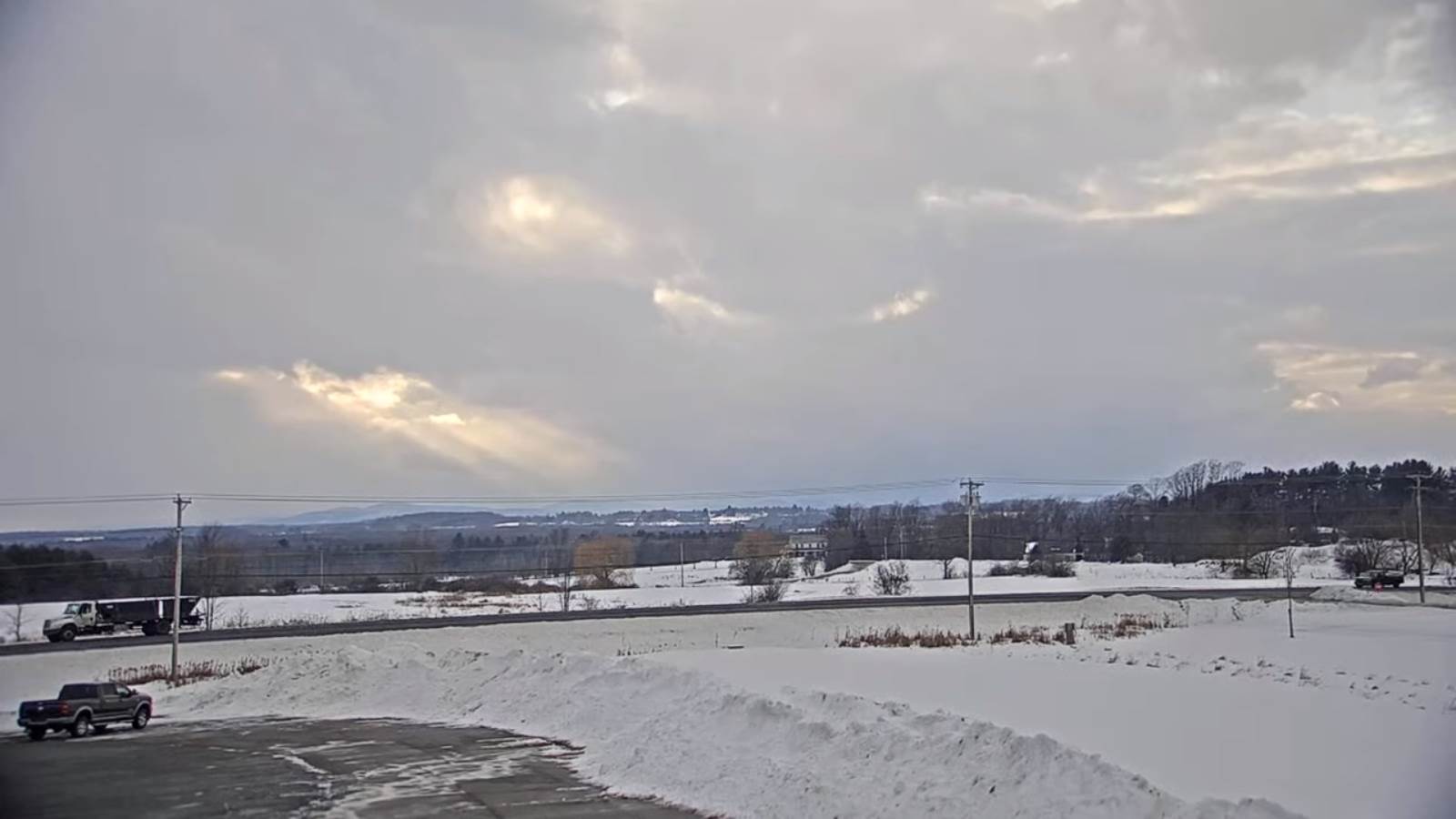
TOMORROW: Mainly cloudy. Breezy to windy at times. A late day high in the mid-30s. South to southeast winds 10 to 25 mph with higher gusts northern hills.
WEDNESDAY NIGHT: Thickening clouds and breezy. Scattered light rain showers toward daybreak northern border. An evening low around 35, then temperatures rising into the 40s overnight. South to southwest winds 10 to 20 mph.
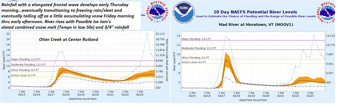
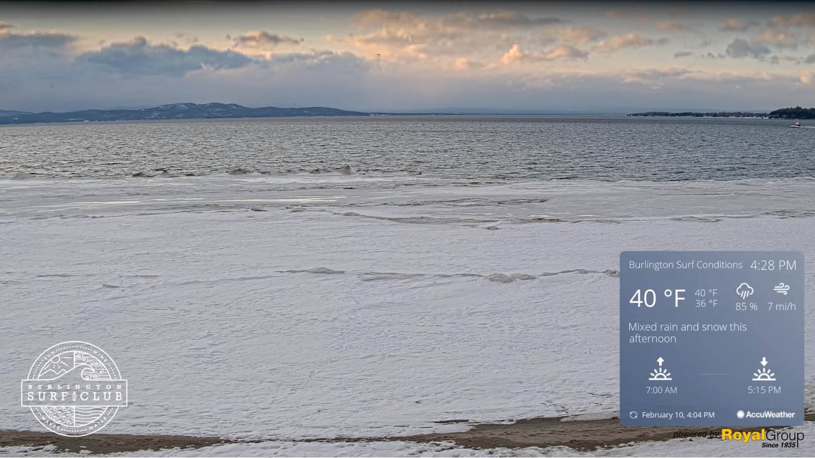
THURSDAY: Gray. Periods of rain developing…moderate at times. Temperatures rising thru the 40s to low 50s. (Possible sap runs & break up & ice jams some rivers. Southwest winds 10 to 15 mph.
Looking further ahead…
THURSDAY NIGHT: Overcast. Good chance for rain, moderate at times…transitioning to freezing rain and sleet overnight and eventually to snow…northwest to southeast producing hazardous travel. A low upper teens to mid-20s.
FRIDAY: A wintry mix with some minor glazing early…changing to light accumulating snow or snow showers. A dusting to an inch. Partial clearing, colder in the afternoon A high around 20.
SATURDAY: Brief morning sunshine then mostly cloudy. Chance for light accumulating snow showers or flurries by mid-day. A low around zero to 5 above. A high 25 to 30.
SUNDAY: High cloudiness with hints of sunshine and breezy. A low in the single digits. A high around 32.
Average lows mid-single digits to low teens. Average highs ranging upper 20s to around 32.
End of Met. Winter March 9th

RH/2-15 forecast][end]