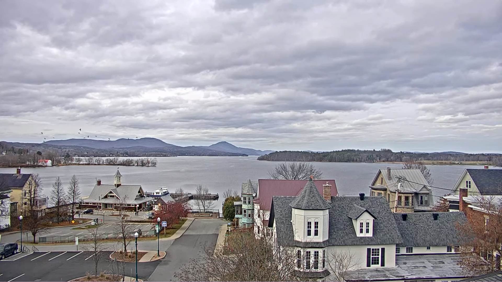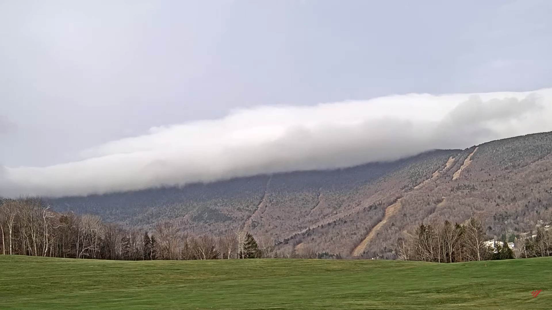
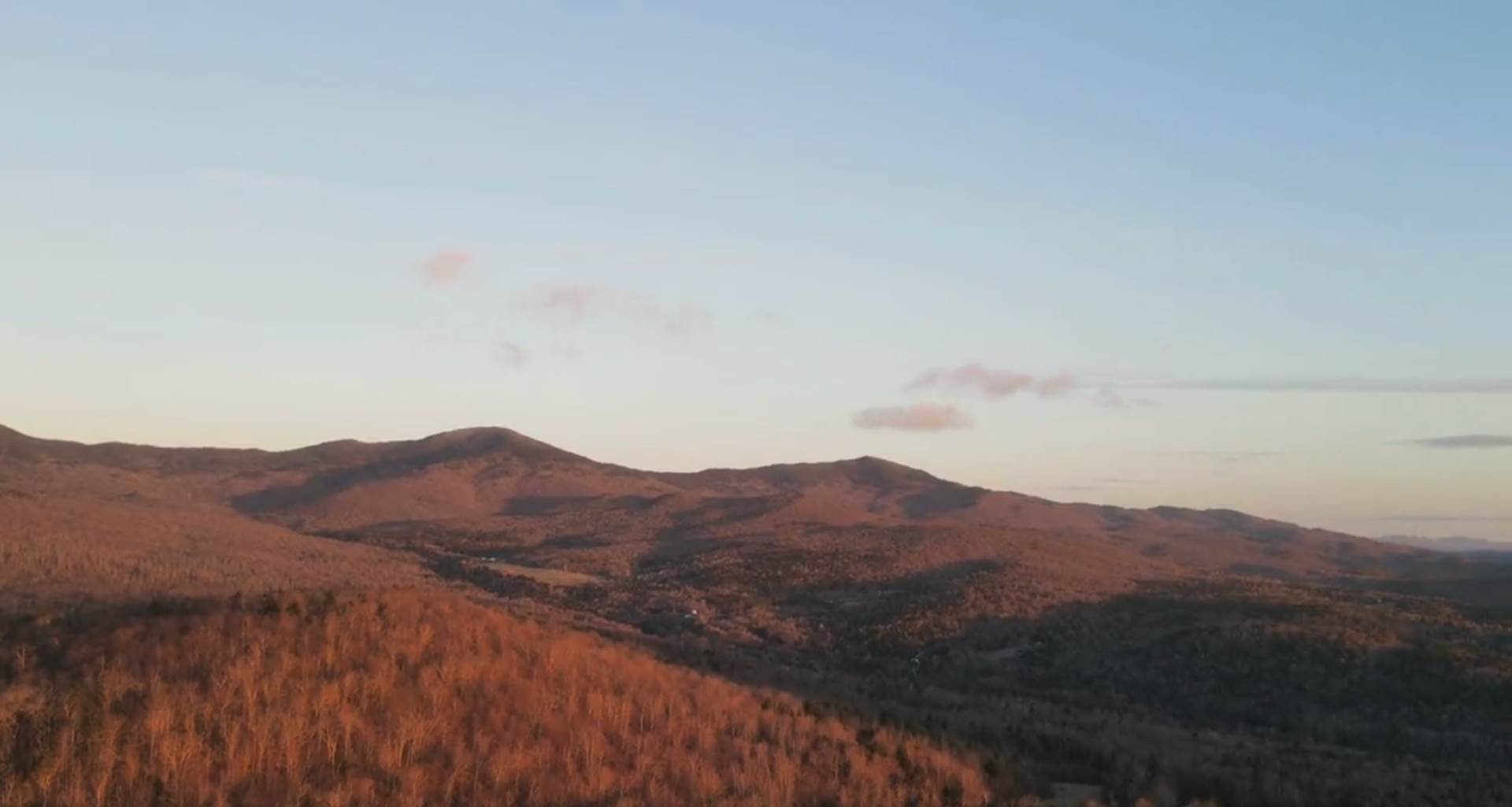
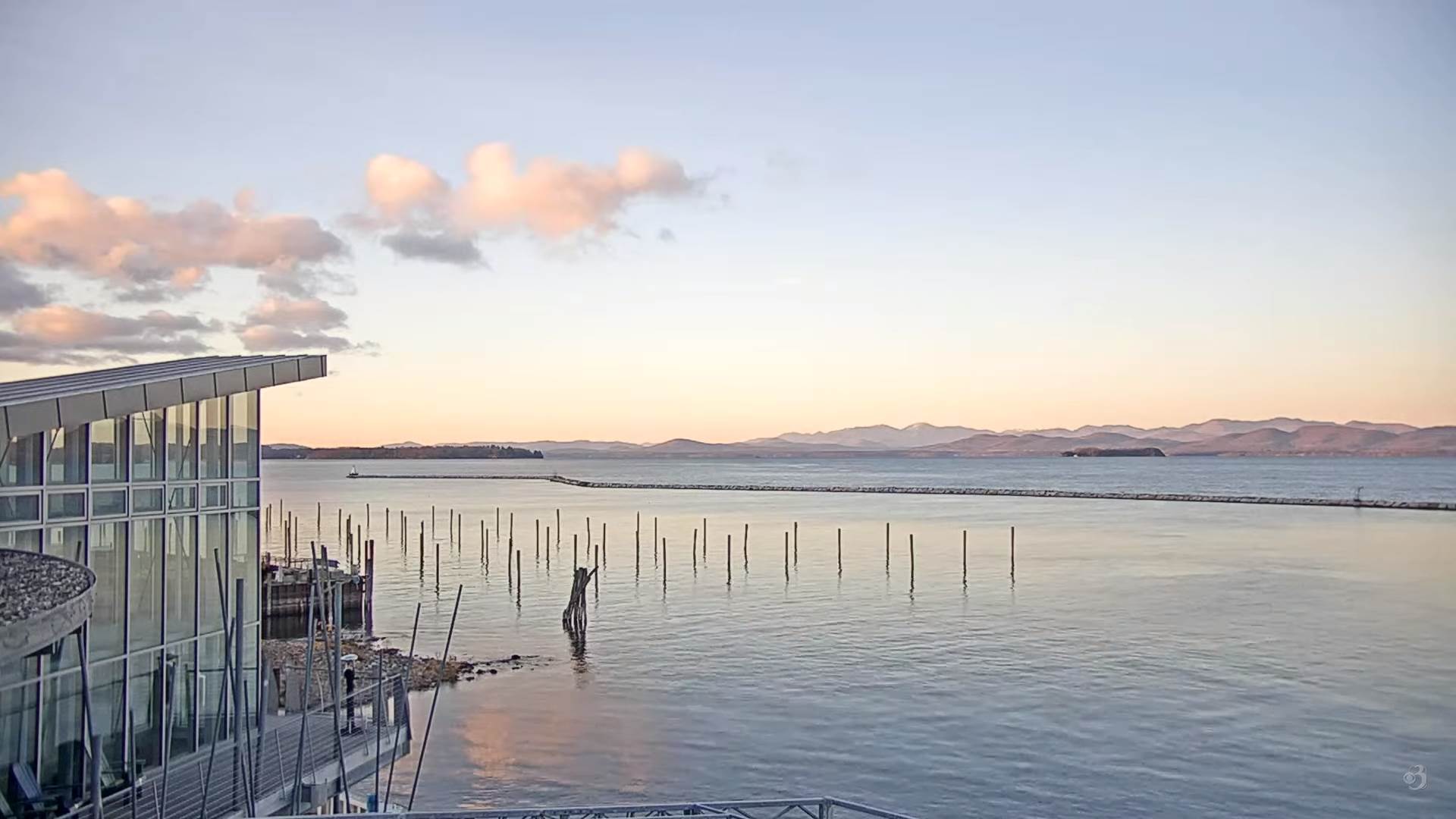
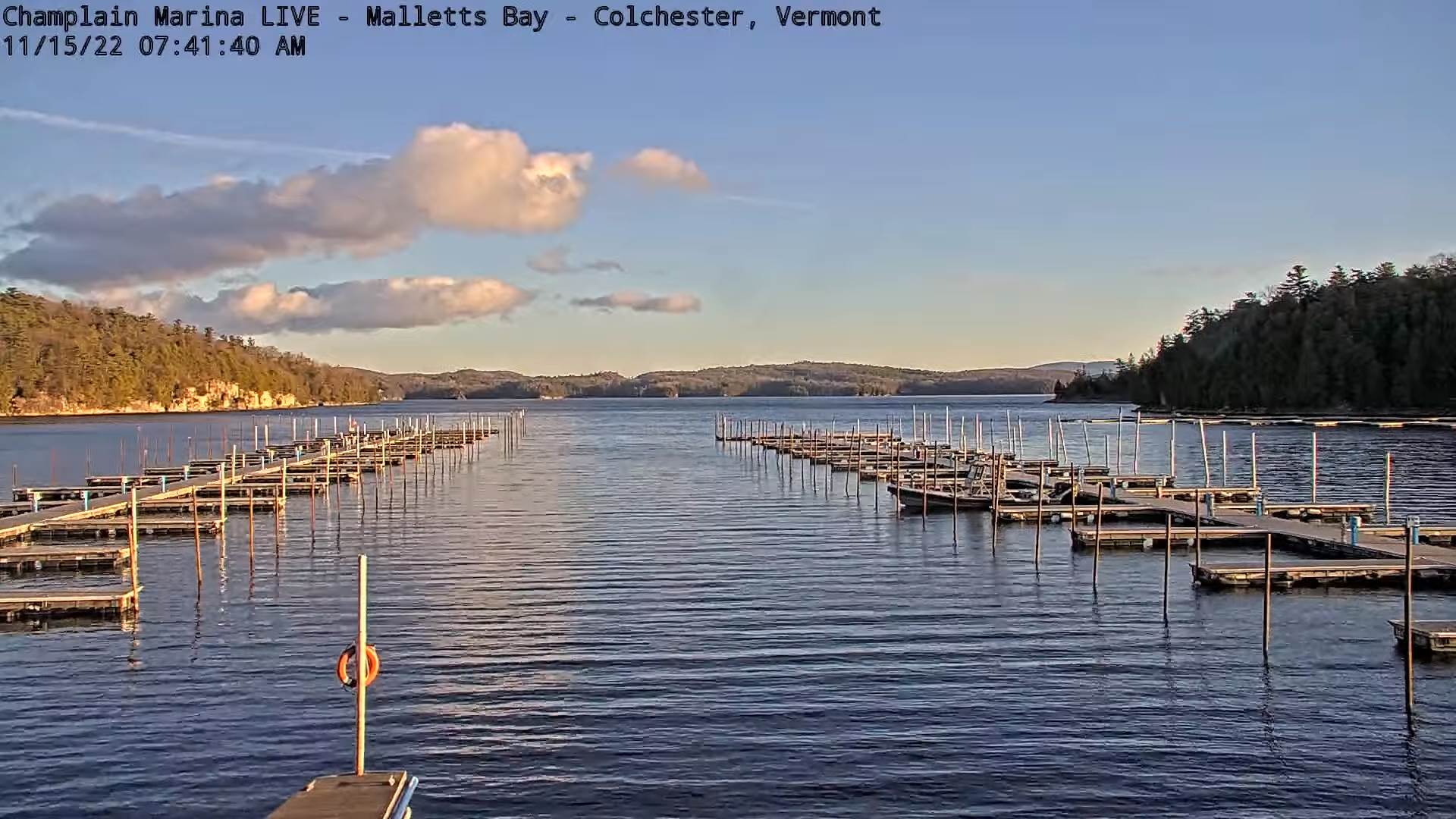
TODAY: Intervals of sun mixed with mainly high cloudiness. A high mid to upper 30s. Light northwest winds.
Winter Weather Advisory Midnight tonight thru 7 PM Wednesday…
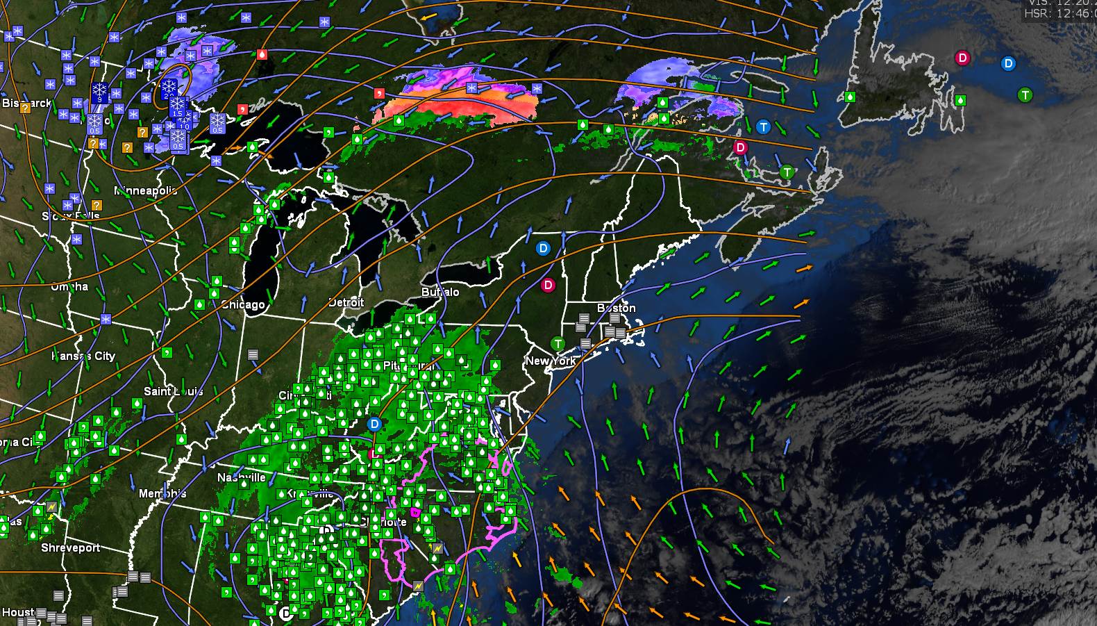
TONIGHT: Clouding up, with a rising chance for light accumulating snow after midnight, up to couple inches southern areas. A low 25 to 30. Light east winds.
WEDNESDAY: Gray. Accumulating mostly wet snow, moderate at times mixing with sleet in the afternoon. Total accumulation 3 to 6”. A high in the mid-30s. Light east to northeast winds.
Looking Further Ahead…
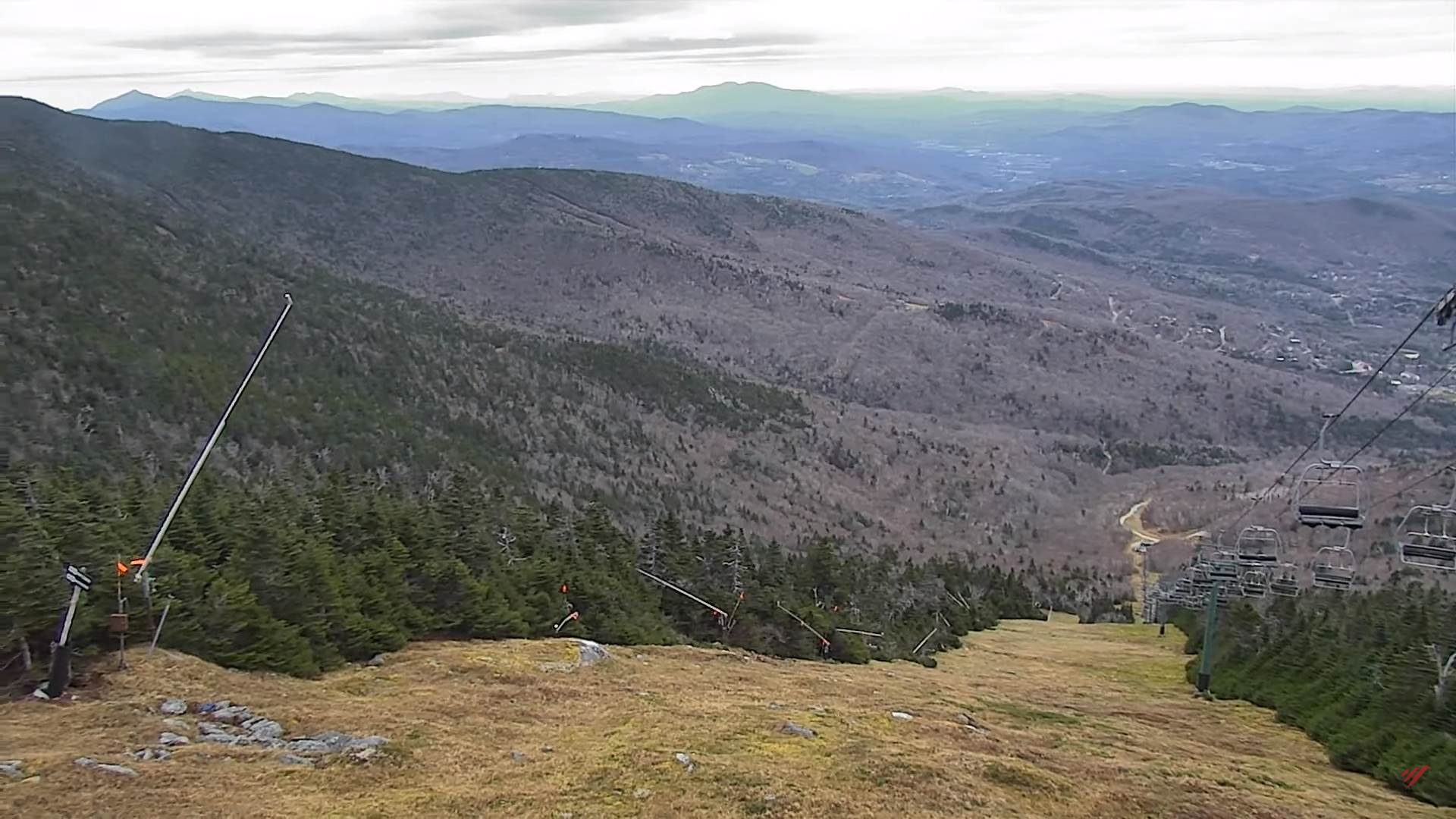
WEDNESDAY NIGHT: Steady snowfall exits the Northeast Kingdom to scattered accumulating snow showers and flurries. Additional dusting to 2” western slopes & northern Green Mountains. A low in the upper 20s.
THURSDAY: Scattered snow showers & flurries. A high around 35.
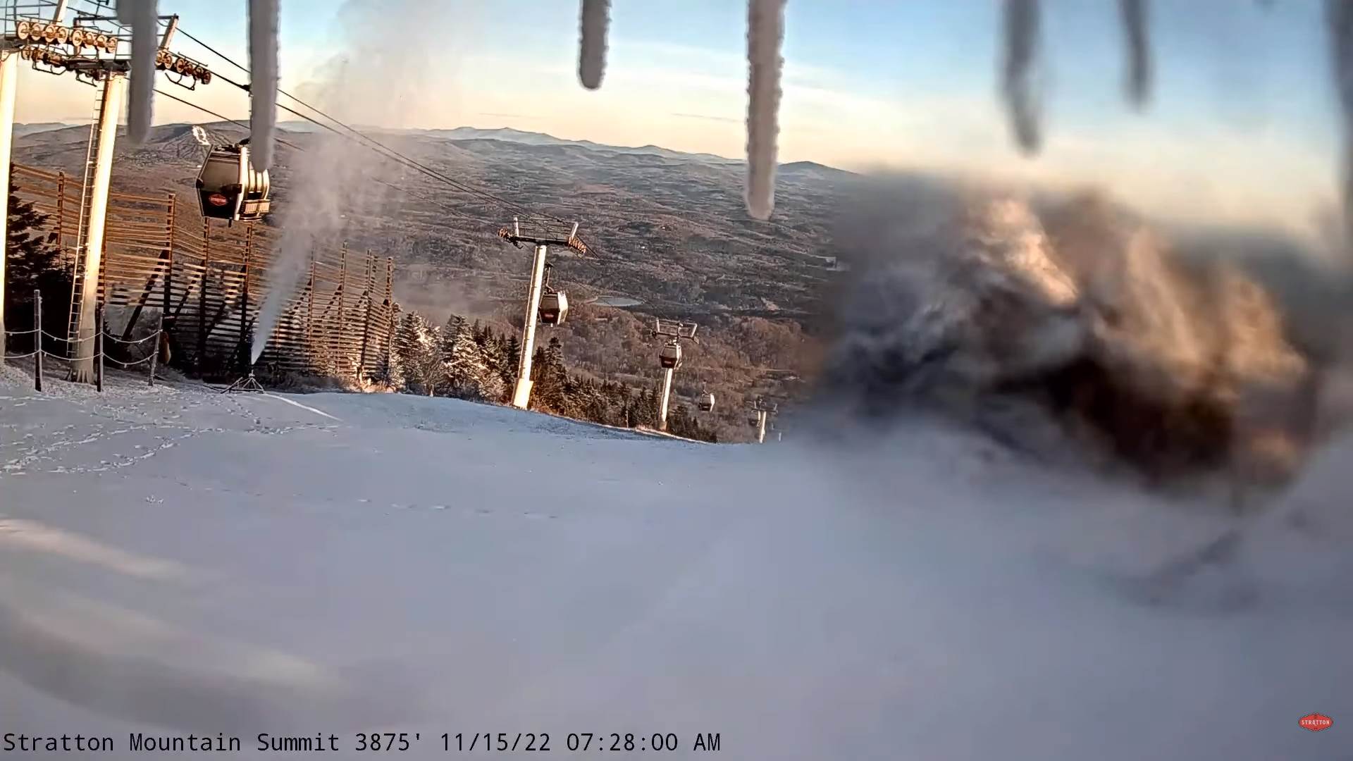
FRIDAY: Sunshine mixed with clouds. Chance for lake effect snow showers limited accumulation. A low 15 to 20. A high near 35.
SATURDAY: Partly to mostly cloudy. Scattered flurries mainly in the mountains. A low 15 to 20. A high around 30.
Average lows 25 to 30. Average highs low to mid 40s.
RH/11-15forecast][end]