Updated Tuesday Morning Election Day Forecast — November 8th, 2022

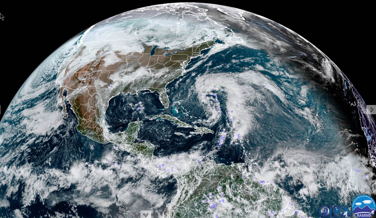
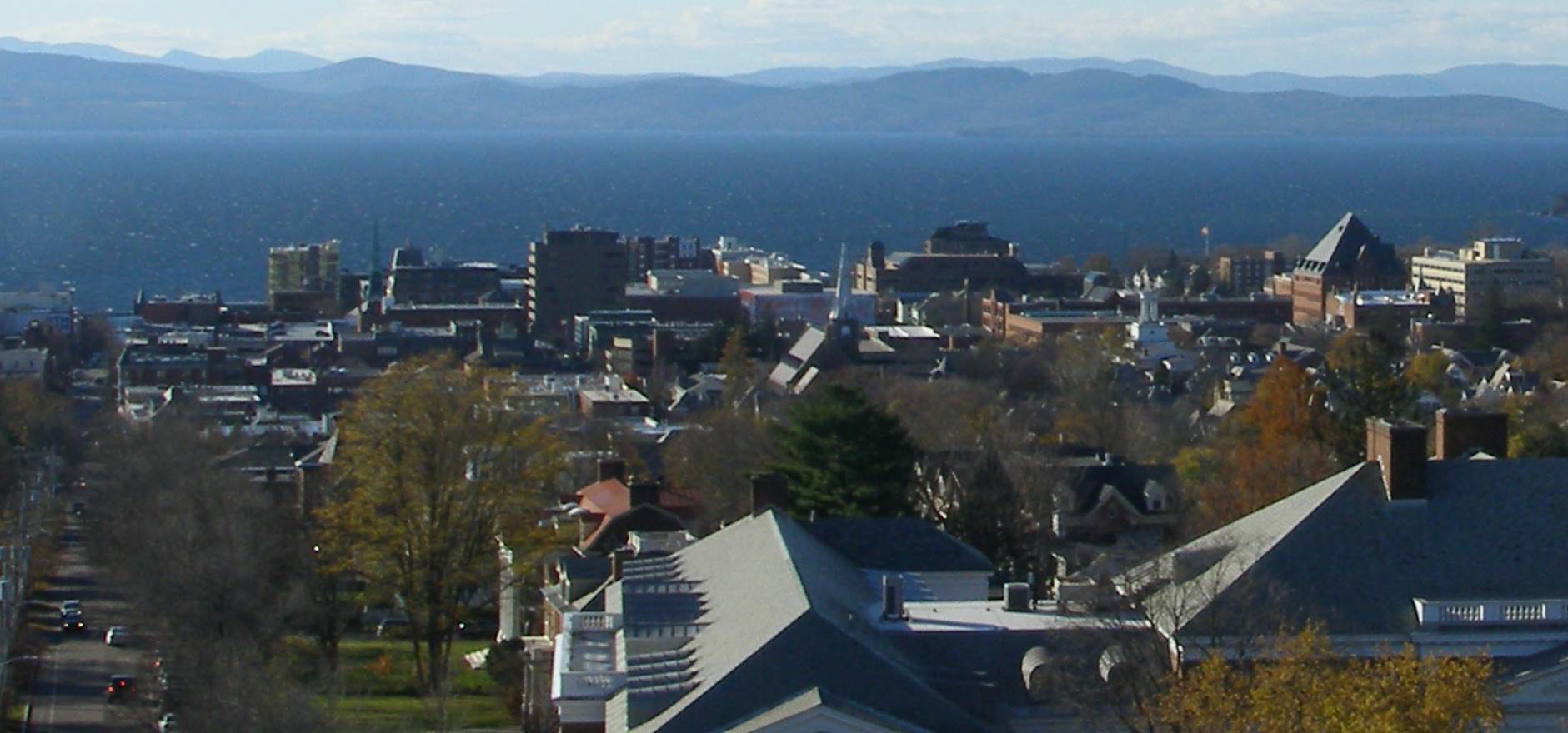
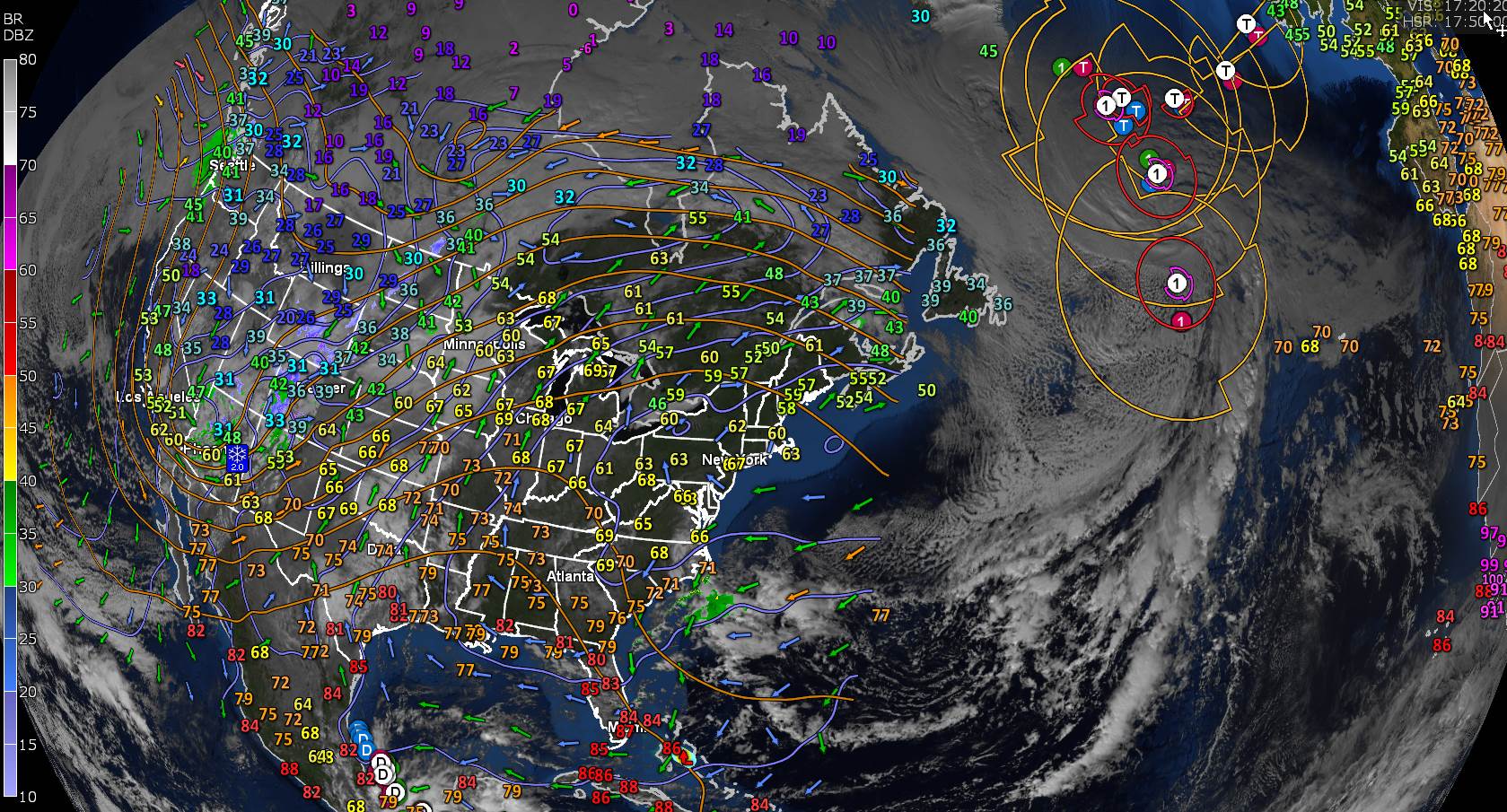
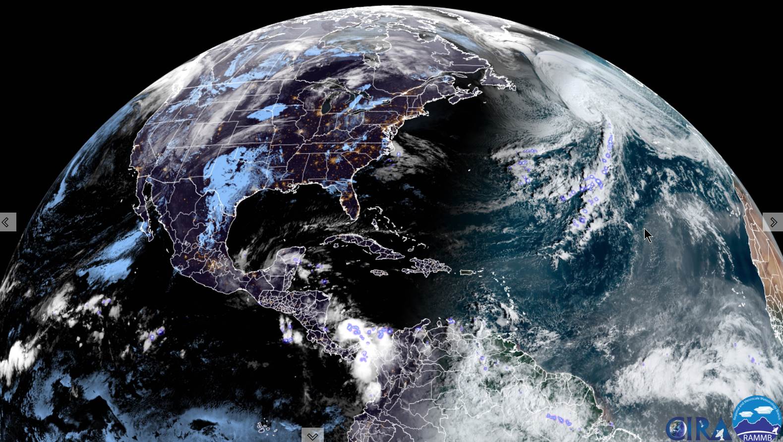
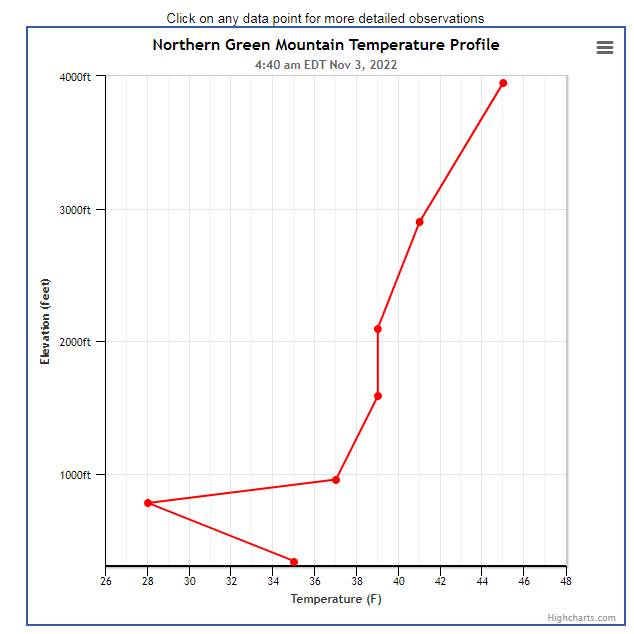
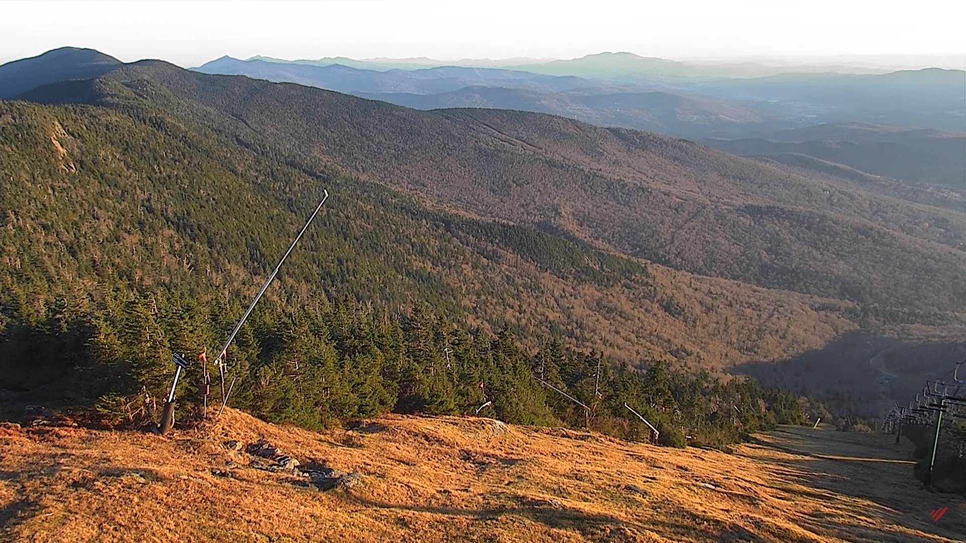
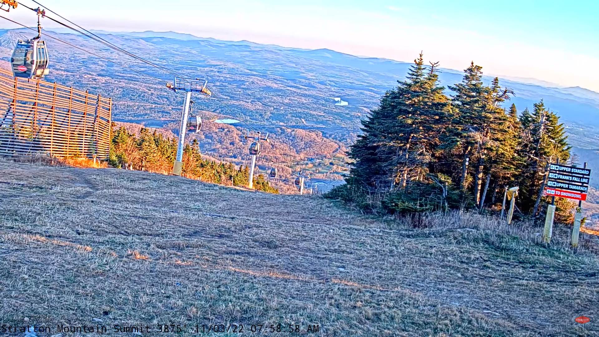
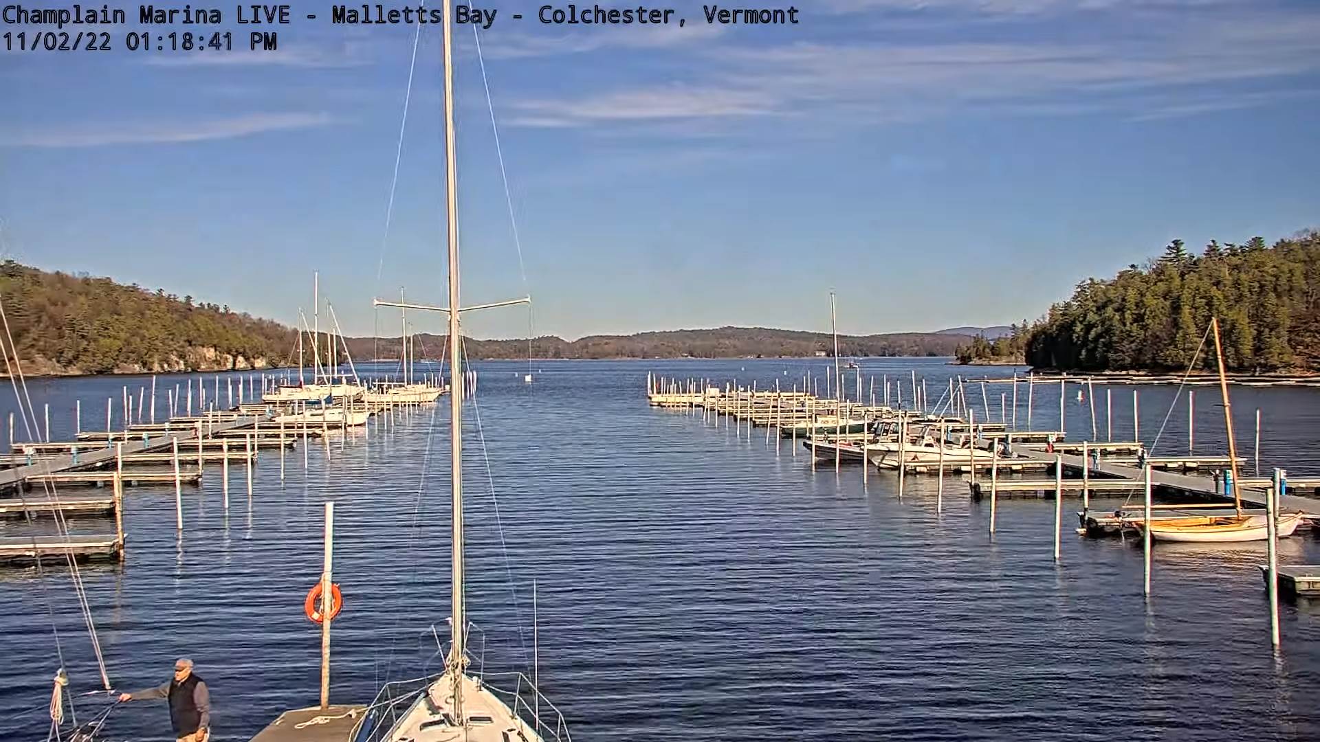
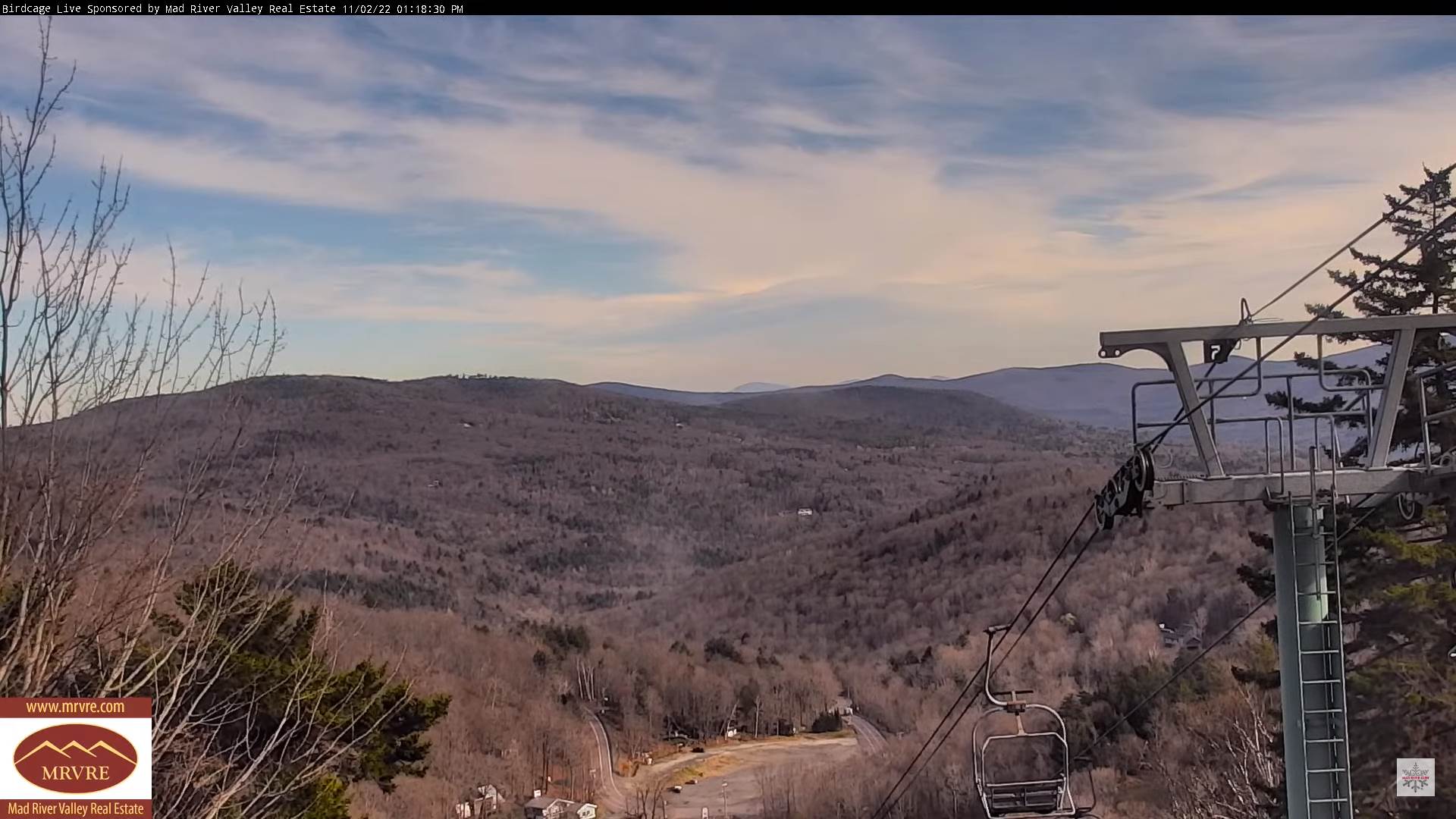
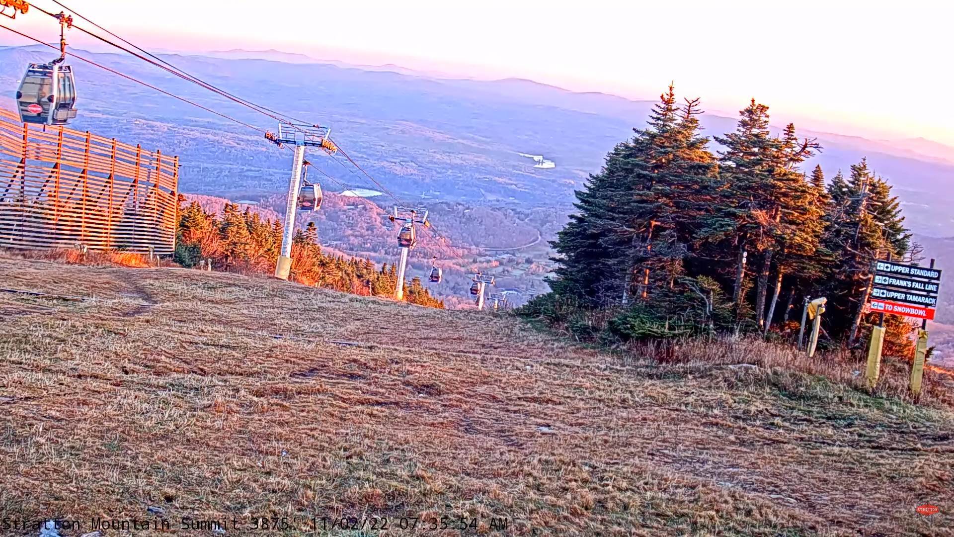
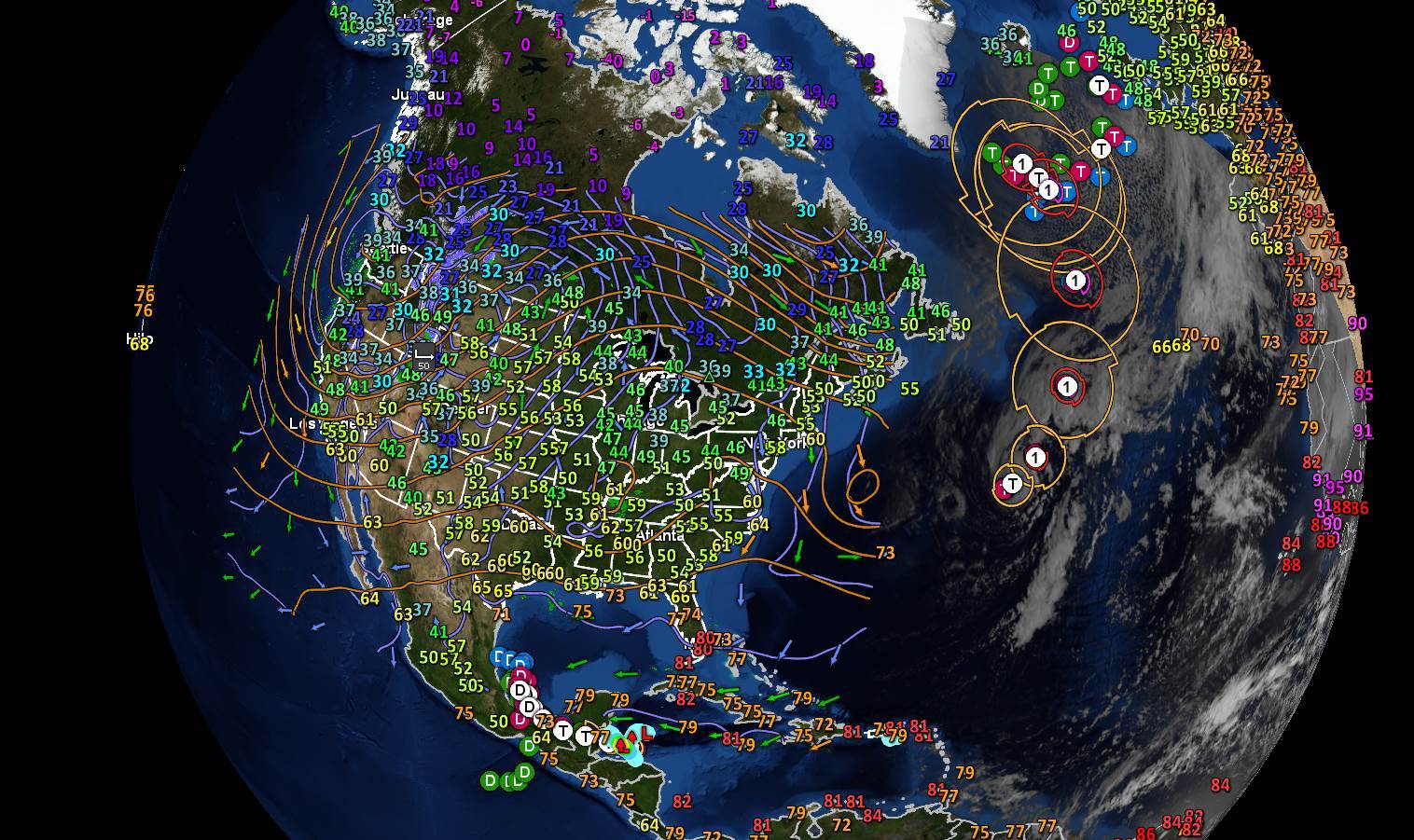
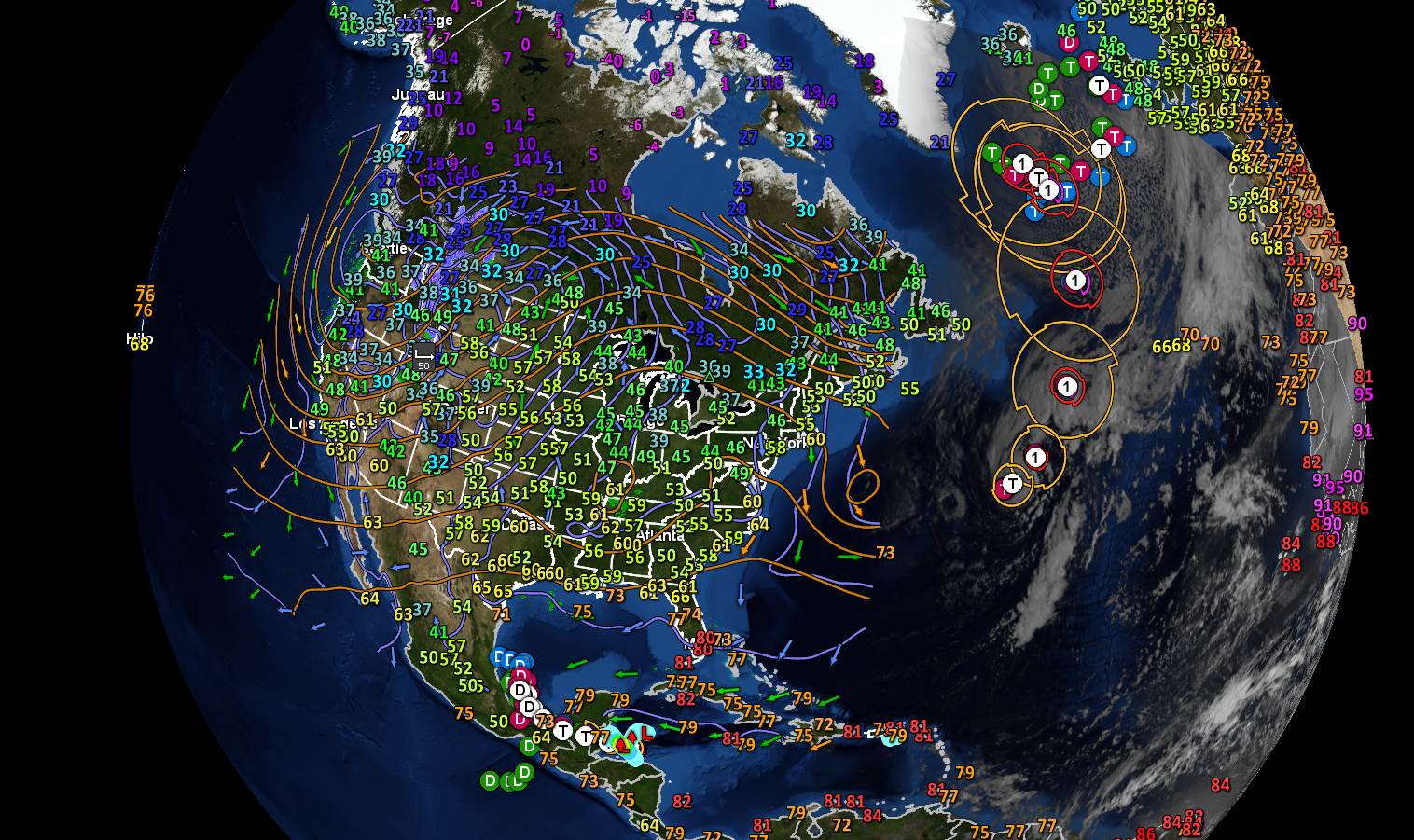
TODAY: Some northern mountain clouds this morning, otherwise sunny, rather chilly and blustery A high 40 to 45. Northwest winds 10 to 20 mph.

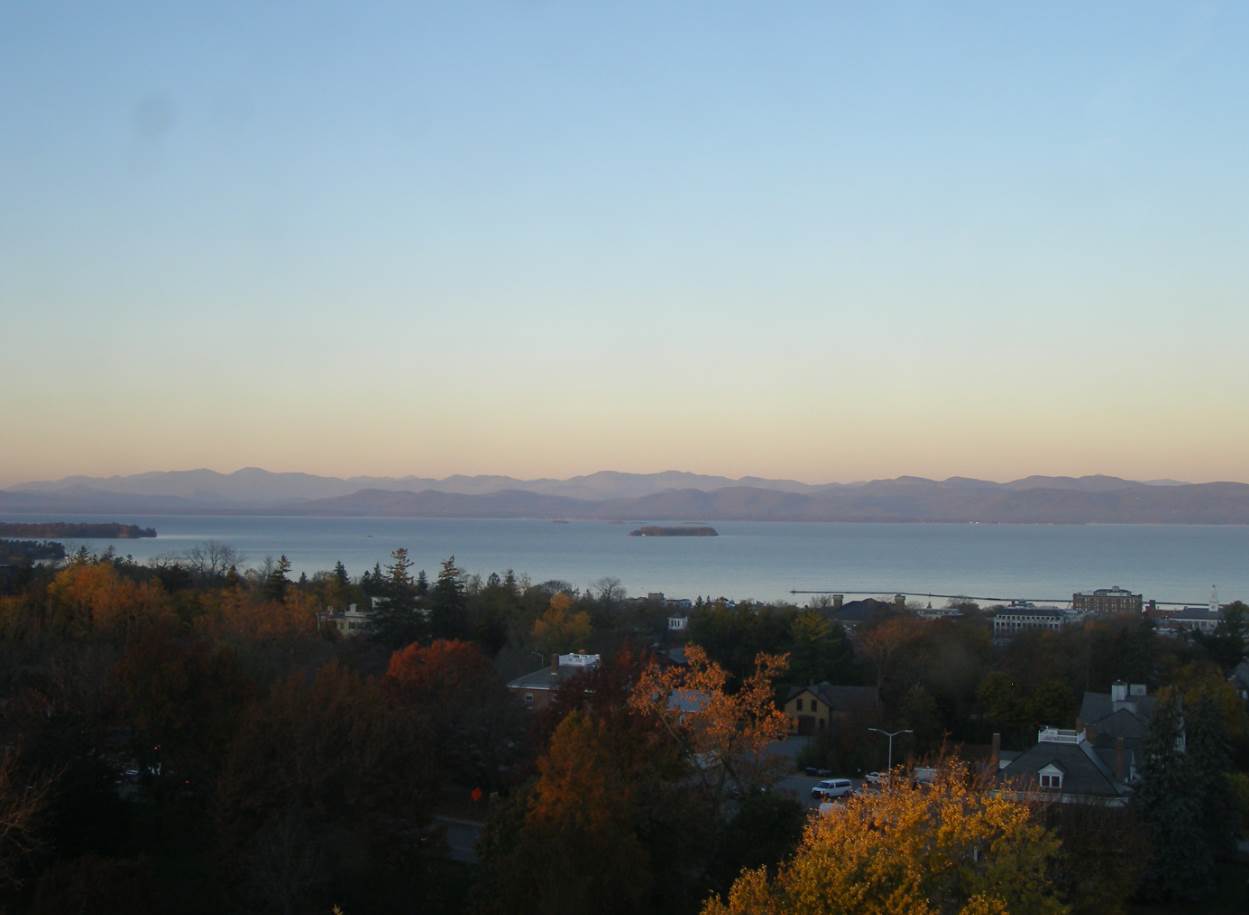
TONIGHT: Clear and fully moonlit. A low in the low to mid 20s. Light north winds.

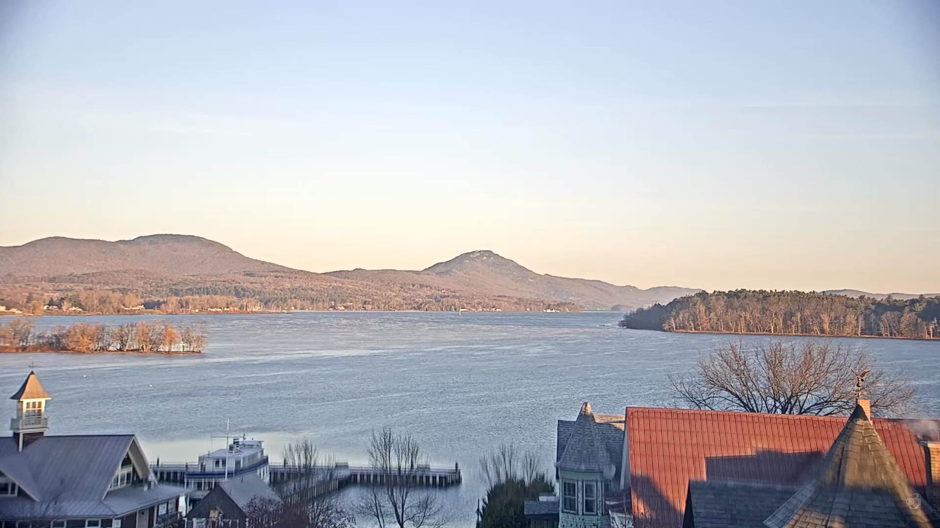
WEDNESDAY: Sunny. A high around 50. Little wind.

Looking Further Ahead…

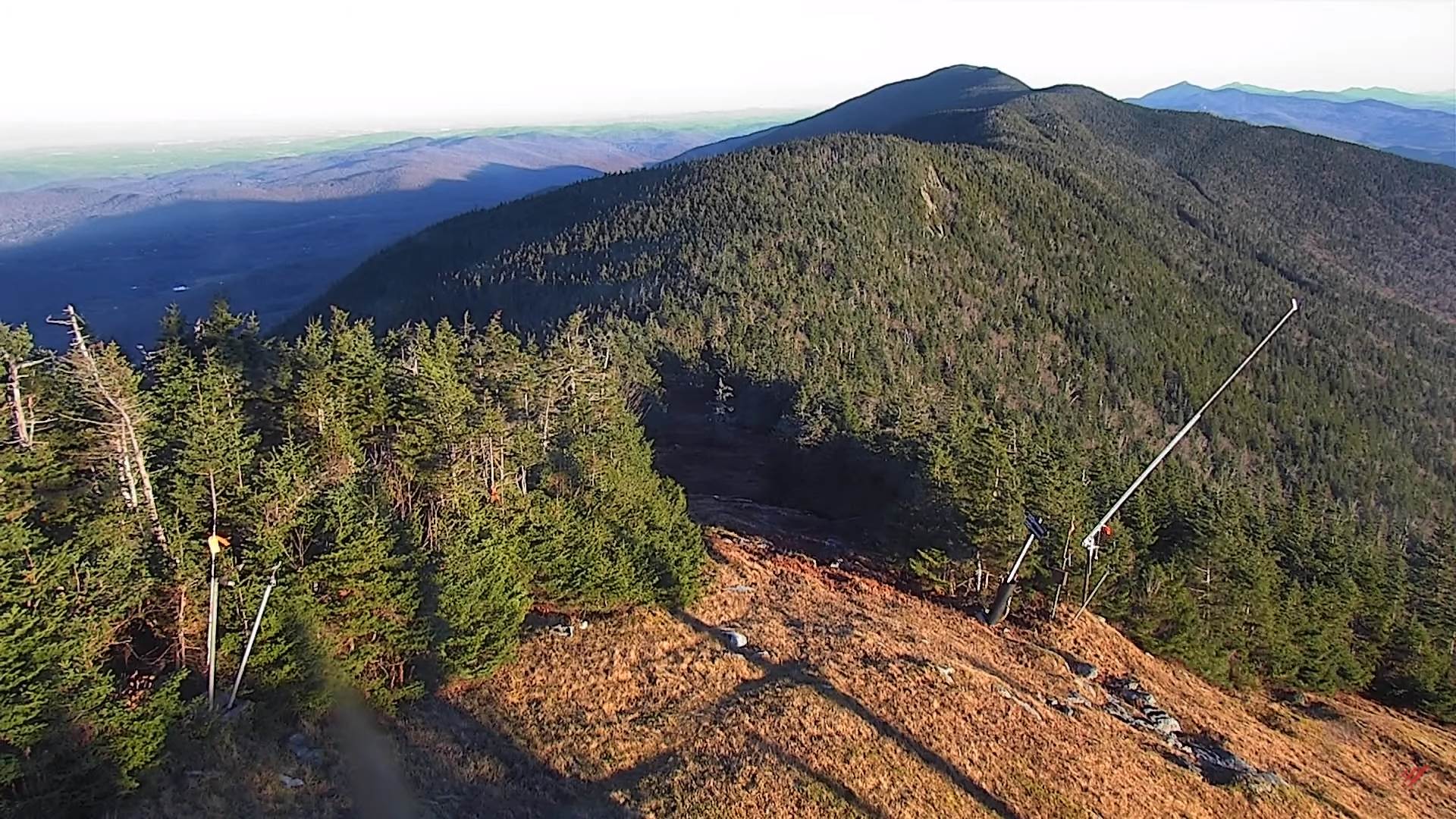
WEDNESDAY NIGHT: Clear and moonlit. A low near 32.

THURSDAY: Mostly sunny. A high in the lower 60s.

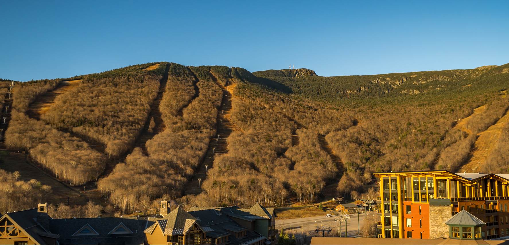
FRIDAY: Thickening clouds. Rising chance for periods of rain arriving in the afternoon…moderate at times. A low around 40. A high in the mid-60s.

SATURDAY: Gray. Periods of rain or showers early tapering to widely scattered sprinkles. A low mid to upper 40s. A high 55 to 60.

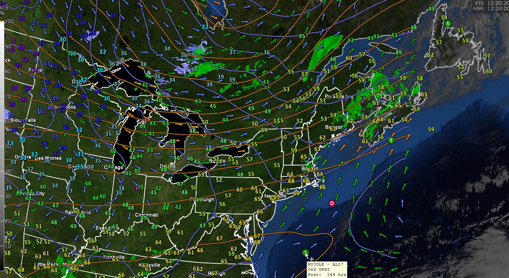
SUNDAY: Sunshine mixed with clouds. Widely scattered rain and wet snow showers. A low around 35. A high around 55.

Average lows mid-20s to low 30s. Average highs 45 to 50.

RH/11-8forecast][end]

Updated Monday Evening Forecast — November 7th, 2022

TONIGHT: Mostly clear fully moonlit with few clouds northern mountains. A low about 32 to 35. Northwest breeze 10 to 15 mph.

Full Beaver Moon 6:02 AM EST

TOMORROW: Mostly sunny. Blustery at times. Near seasonal temperatures. A high upper 40s to about 50. Northwest winds 10 to 20 mph.

TUESDAY NIGHT: Clear and fully moonlit. A low about 25. Light north winds.

WEDNESDAY: Mostly sunny. A high in the low 50s. Little wind.

Looking Further Ahead…

WEDNESDAY NIGHT: Clear and moonlit. A low around 35.

THURSDAY: A few clouds far north, otherwise bright sunshine. A high around 60.

FRIDAY: Partly sunny. A low in the lower to mid-40s. A high 60 to 65.

SATURDAY: Gray. Periods of rain or showers, moderate at times in the morning tapering to widely scattered sprinkles. A low in the mid to upper 40s. A high around 55.

SUNDAY: Sunshine mixed with clouds. Widely scattered sprinkles mixed with wet snowflakes. A low in the 30s. A high in the 40s.

Average lows mid-20s to low 30s. Average highs 45 to 50.

RH/11-7forecast][end]

Updated Monday Morning Forecast — November 7th, 2022

TODAY: Sunshine this morning with a few more clouds late northern areas. Blustery at times. A high around 65. Gusty west to northwest winds 10 to 25 mph picking up this afternoon.

TONIGHT: Partially moonlit skies. A low in the mid-30s. Northwest breeze 10 to 15 mph.

Full Beaver Moon 6:02 AM EST

TUESDAY: Mostly sunny. Blustery at times. Near seasonal temperatures. A high mid-40s to near 50. Northwest winds 10 to 15 mph.

Looking Further Ahead…

TUESDAY NIGHT: Clear and moonlit. A low ranging mid to upper 20s.

WEDNESDAY: Mostly sunny. A high 50 to 55.

THURSDAY: A few clouds far north, otherwise bright sunshine. A low in the mid to upper 30s. A high 60 to 65.

FRIDAY: Partly sunny. A low in the lower to mid-40s. A high in the mid-60s.

Average lows mid-20s to low 30s. Average highs 45 to 50.

RH/11-7forecast][end]

Updated Friday Evening Forecast — November 4th, 2022

TONIGHT: Mostly clear & partially moonlit clouding up late. A low 50 to 55. Light south to southwest winds stronger near Lake Champlain.

TOMORROW: Clouds with breaks of sun. An isolated sprinkle or two toward Rutland. Rather mild & a little more humid. A near record high in the low 70s. Southwest breeze 10 to 15 mph, stronger Lake Champlain.

Time change – fall back 1 hour to standard time

SATURDAY NIGHT: Mostly cloudy and a balmy early November night. A low upper 50s to around 60. Southerly breeze 10 to 15 mph, stronger at the lake.

SUNDAY: Mainly gray. Scattered light rain showers or sprinkles Barre-Montpelier north and west. A near record high again in the low 70s. Southwest winds 10 to 15 mph.

Looking Further Ahead…

SUNDAY NIGHT: Mostly cloudy. A few leftover showers giving way to partial clearing. A low in the low to mid 50s.

MONDAY: Morning clouds then partly to mostly sunny. A bit blustery. A high 65 to 70.

Full Beaver Moon 6:02 AM EST

TUESDAY: Lots of sunshine with a few mountain clouds. Blustery. A low around 35. A high 50 to 55.

WEDNESDAY: Mostly sunny. A low 25 to 30. A high in the upper 40s.

Average lows upper 20s to low 30s. Average highs mid-40s to low 50s.

RH/11-4forecast][end]

Updated Friday Morning Forecast — November 4th, 2022

TODAY: Sunshine becoming filtered by high clouds. A high 65 to 70. South to southwest breeze 10 mph, stronger Lake Champlain.

TONIGHT: Mostly fair, then clouding up overnight. A low 50 to 55. South to southwest winds 10 mph.

SATURDAY: Clouds with breaks of sun. Rather mild & a little more humid. A near record high in the low 70s. Light southwest breeze, stronger Lake Champlain.

Looking Further Ahead…

Time change – fall back 1 hour to standard time

SATURDAY NIGHT: Mostly cloudy. A low mid to upper 50s.

SUNDAY: Gray. A rising chance for light rain showers or sprinkles especially northwestern areas. A near record high 70 to 75.

MONDAY: Morning clouds then partly to mostly sunny. A bit blustery. A low 50 to 55. A high 65 to 70.

TUESDAY: Lots of sunshine with a few mountain clouds. Blustery. A low around 35. A high 50 to 55.

WEDNESDAY: Mostly sunny. A low 25 to 30. A high in the upper 40s.

Average lows upper 20s to low 30s. Average highs mid-40s to low 50s.

RH/11-4forecast][end]

Updated Thursday Evening Forecast — November 3rd, 2022

TONIGHT: Mostly clear with high clouds. Isolated valley fog. A low in the mid 40s. Light southwest breeze, stronger Lake Champlain.

TOMORROW: Sunshine filtered by high clouds. A high around 65. South to southwest breeze 10 mph, stronger Lake Champlain.

FRIDAY NIGHT: Fair early with increasing clouds overnight. A low around 50. South to southwest winds 10 mph.

SATURDAY: Clouds with breaks of sun. Rather mild & a little more humid. A high around 70. Light southwest breeze, stronger Lake Champlain.

Looking Further Ahead…

Time change – fall back 1 hour to standard time

SATURDAY NIGHT: Mostly cloudy. A low mid to upper 50s.

SUNDAY: Gray. A rising chance for rain showers especially northern western areas. A high in the lower 70s.

MONDAY: Morning clouds then partly to mostly sunny. A bit blustery. A low 50 to 55. A high 65 to 70.

TUESDAY: Lots of sunshine with a few mountain clouds. Blustery. A low in the mid-30s. A high 50 to 55.

WEDNESDAY: Mostly sunny. A low upper 20s to low 30s. A high low to mid 50s.

Average lows upper 20s to low 30s. Average highs mid-40s to low 50s.

RH/11-3forecast][end]

Updated Thursday Morning Weather — November 3rd, 2022

TODAY: Pick of the week. Sunny. A few high clouds late. A high 60 to 65. Light southwest breeze.

TONIGHT: Mostly clear with high clouds. Isolated valley fog. A low 40 to 45. Light southwest breeze, stronger Lake Champlain.

FRIDAY: Sunshine filtered by high clouds. A high around 65. South to southwest breeze 10 mph, stronger Lake Champlain.

Looking Further Ahead…

FRIDAY NIGHT: Fair early with increasing clouds overnight. A low around 50.

SATURDAY: Partly to mostly cloudy. Rather mild & as little more humid. A high around 70.

SUNDAY: Gray. A rising chance for rain showers especially northern western areas. A low mid to upper 50s. A high in the lower 70s.

MONDAY: Morning clouds then partly to mostly sunny. A bit blustery. A low 50 to 55. A high 65 to 70.

TUESDAY: Lots of sunshine with a few mountain clouds. Blustery. A low in the mid-30s. A high 50 to 55.

WEDNESDAY: Mostly sunny. A low upper 20s to low 30s. A high low to mid 50s.

Average lows upper 20s to low 30s. Average highs mid-40s to low 50s.

RH/11-3forecast][end]

Updated Wednesday Evening Forecast — November 2nd, 2022

TONIGHT: Mostly clear with some high clouds. A low around 32. Little wind.

TOMORROW: Pick of the week. Sunny. A few high clouds late. A high 60 to 65. South to southwest breeze 10 mph.

THURSDAY NIGHT: Mostly clear with high clouds. Isolated valley fog. A low 40 to 45.Light south to southwest breeze, stronger Lake Champlain.

FRIDAY: Sunshine filtered by high clouds. A high mid-60s. South to southwest breeze 10 mph, stronger Lake Champlain.

Looking Further Ahead…

FRIDAY NIGHT: Mostly clear with more clouds developing overnight. A low around 50.

SATURDAY: Partly to mostly cloudy. Rather mild. A high pushing 70.

SUNDAY: Thickening clouds. A rising chance for rain showers later in the afternoon. A low mid to upper 50s. A high 65 to 70.

MONDAY: Cloudy. Chance for showers. A low in the mid-50s. A high 65 to 70.

Average lows upper 20s to low 30s. Average highs mid-40s to low 50s.

RH/11-2forecast][end]

Updated Wednesday Morning Forecast — November 2nd, 2022

TODAY: Variable clouds western areas for a time this morning, otherwise bright sunshine. A high upper 50s. Light north to northwest winds.

TONIGHT: Mostly clear with some high clouds. A low around 32. Little wind.

THURSDAY: Pick of the week. Sunny. A few high clouds late. A high 60 to 65. South to southwest breeze 10 mph.

Looking Further Ahead…

THURSDAY NIGHT: Mostly clear with high clouds. Isolated valley fog. A low 40 to 45.

FRIDAY: Sunshine filtered by high clouds. A high mid-60s.

SATURDAY: Partly to mostly cloudy. A low around 50. Rather mild. A high pushing 70.

SUNDAY: Thickening clouds. A rising chance for rain showers later in the afternoon. A low mid to upper 50s. A high 65 to 70.

MONDAY: Cloudy. Chance for showers. A low in the mid-50s. A high 65 to 70.

This looks at the arctic down…

Average lows upper 20s to low 30s. Average highs mid-40s to low 50s.

RH/11-2forecast][end]

Updated Tuesday Morning Forecast — November 2nd, 2022

TODAY: Variable clouds western areas for a time this morning, otherwise bright sunshine. A high upper 50s. Light north to northwest winds.

TONIGHT: Mostly clear with some high clouds. A low around 32. Little wind.

THURSDAY: Pick of the week. Sunny. A few high clouds late. A high 60 to 65. South to southwest breeze 10 mph.

Looking Further Ahead…

THURSDAY NIGHT: Mostly clear with high clouds. Isolated valley fog. A low 40 to 45.

FRIDAY: Sunshine filtered by high clouds. A high mid-60s.

SATURDAY: Partly to mostly cloudy. A low around 50. Rather mild. A high pushing 70.

SUNDAY: Thickening clouds. A rising chance for rain showers later in the afternoon. A low mid to upper 50s. A high 65 to 70.

MONDAY: Cloudy. Chance for showers. A low in the mid-50s. A high 65 to 70.

This looks at the arctic down…

Average lows upper 20s to low 30s. Average highs mid-40s to low 50s.

RH/11-2forecast][end]