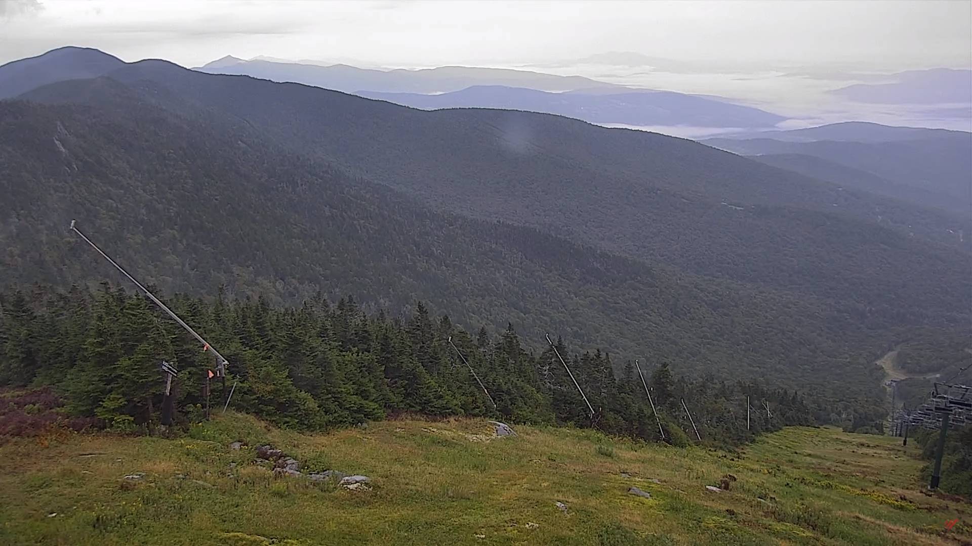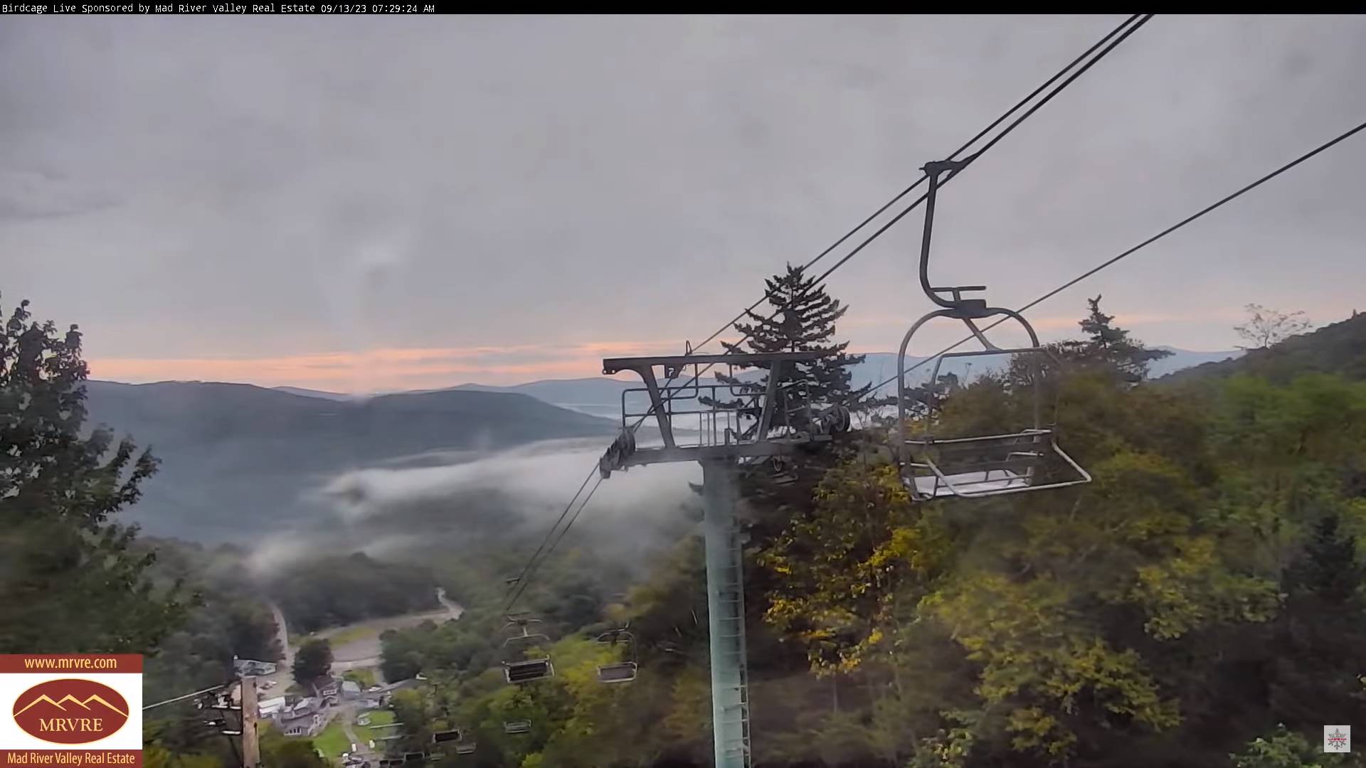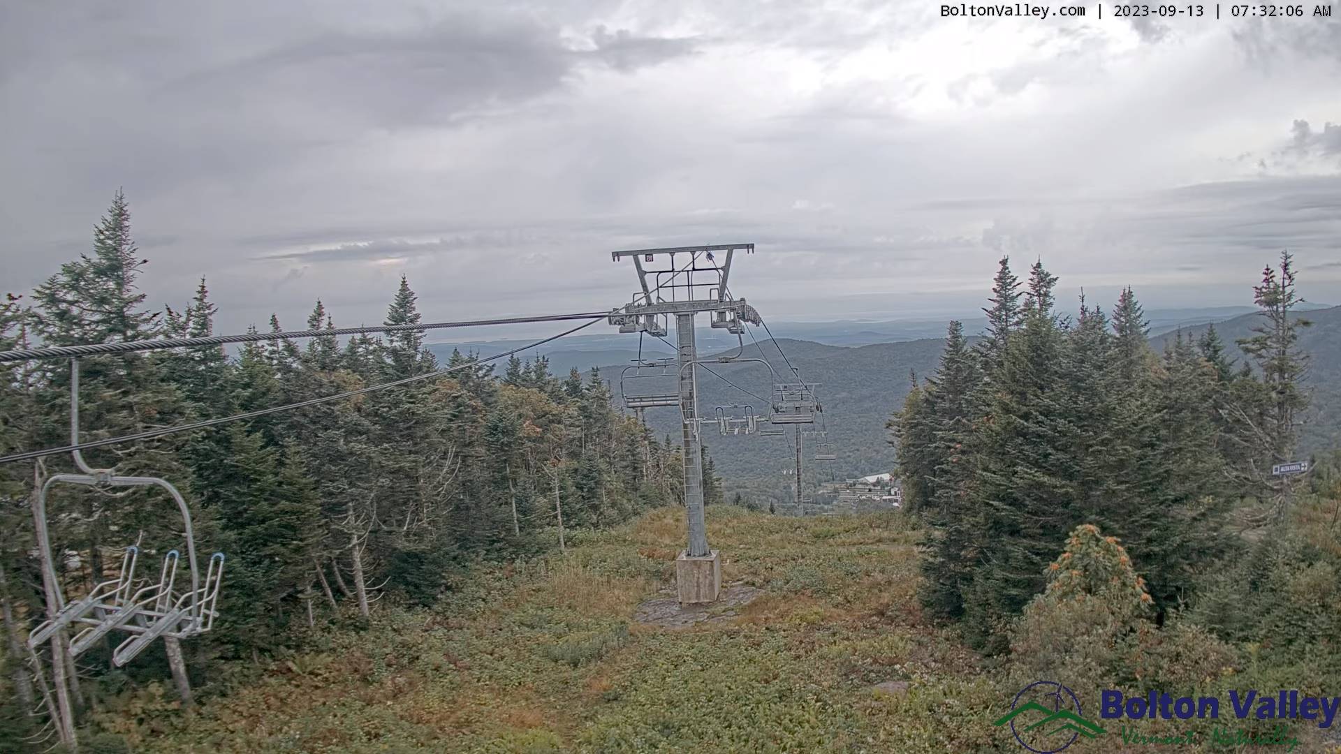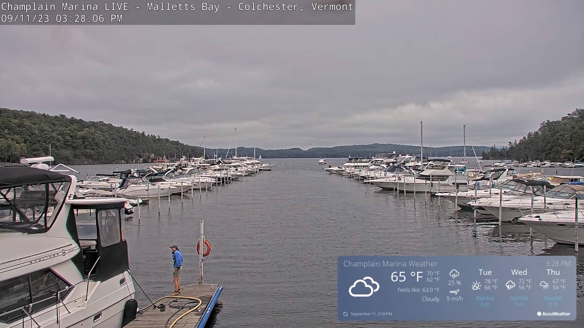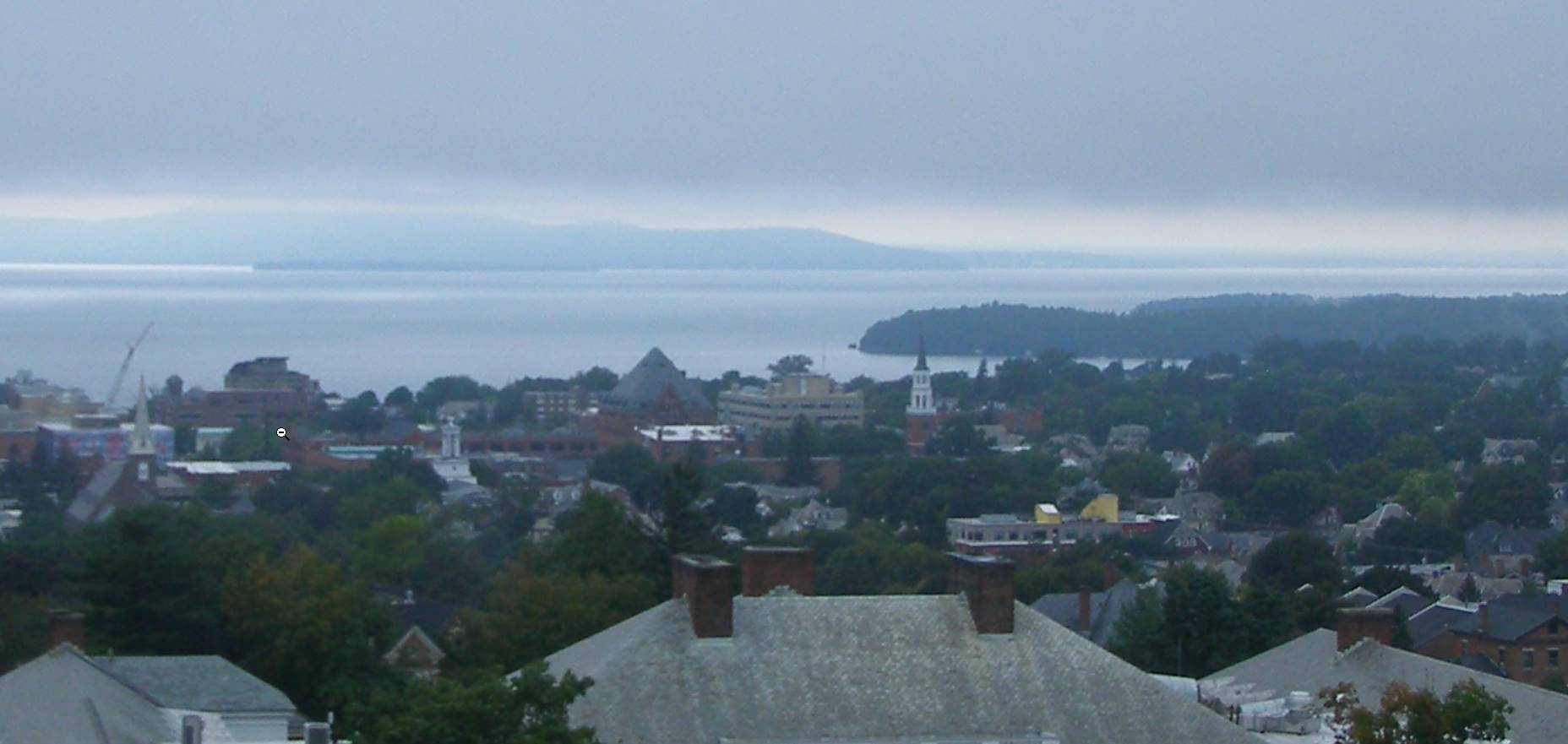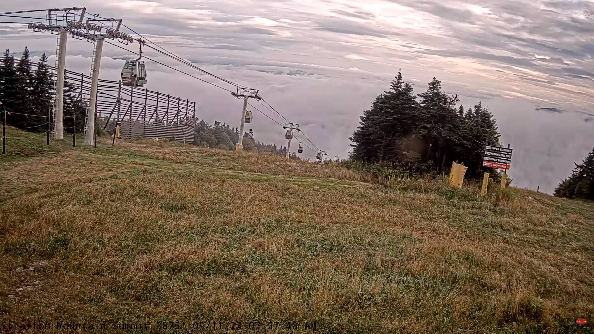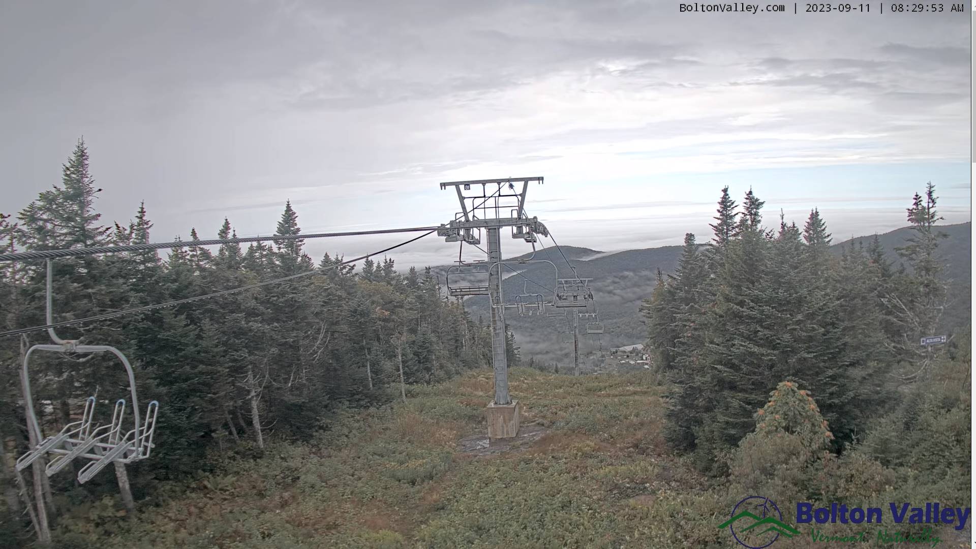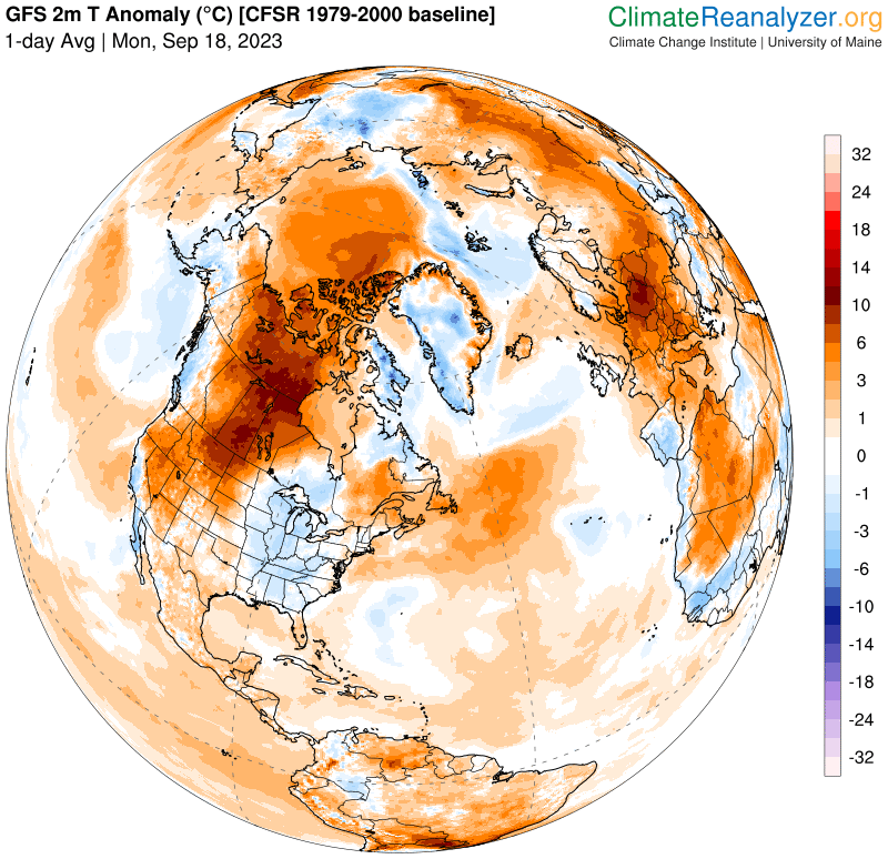
updated Monday Morning Forecast — September 19th, 2023

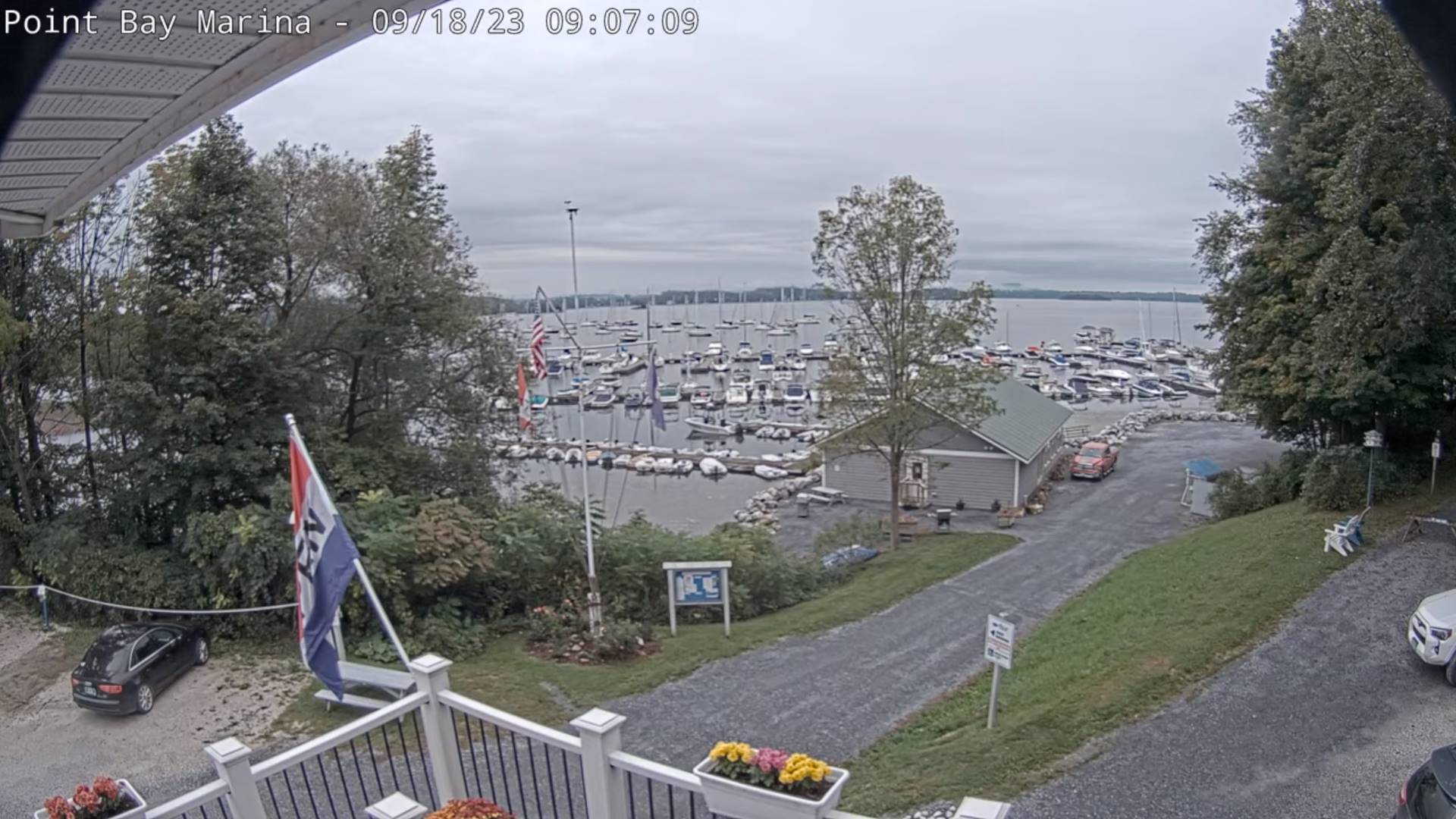
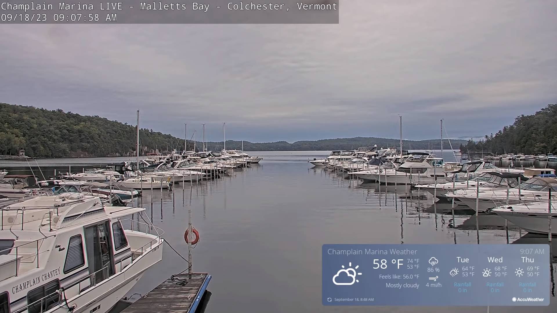
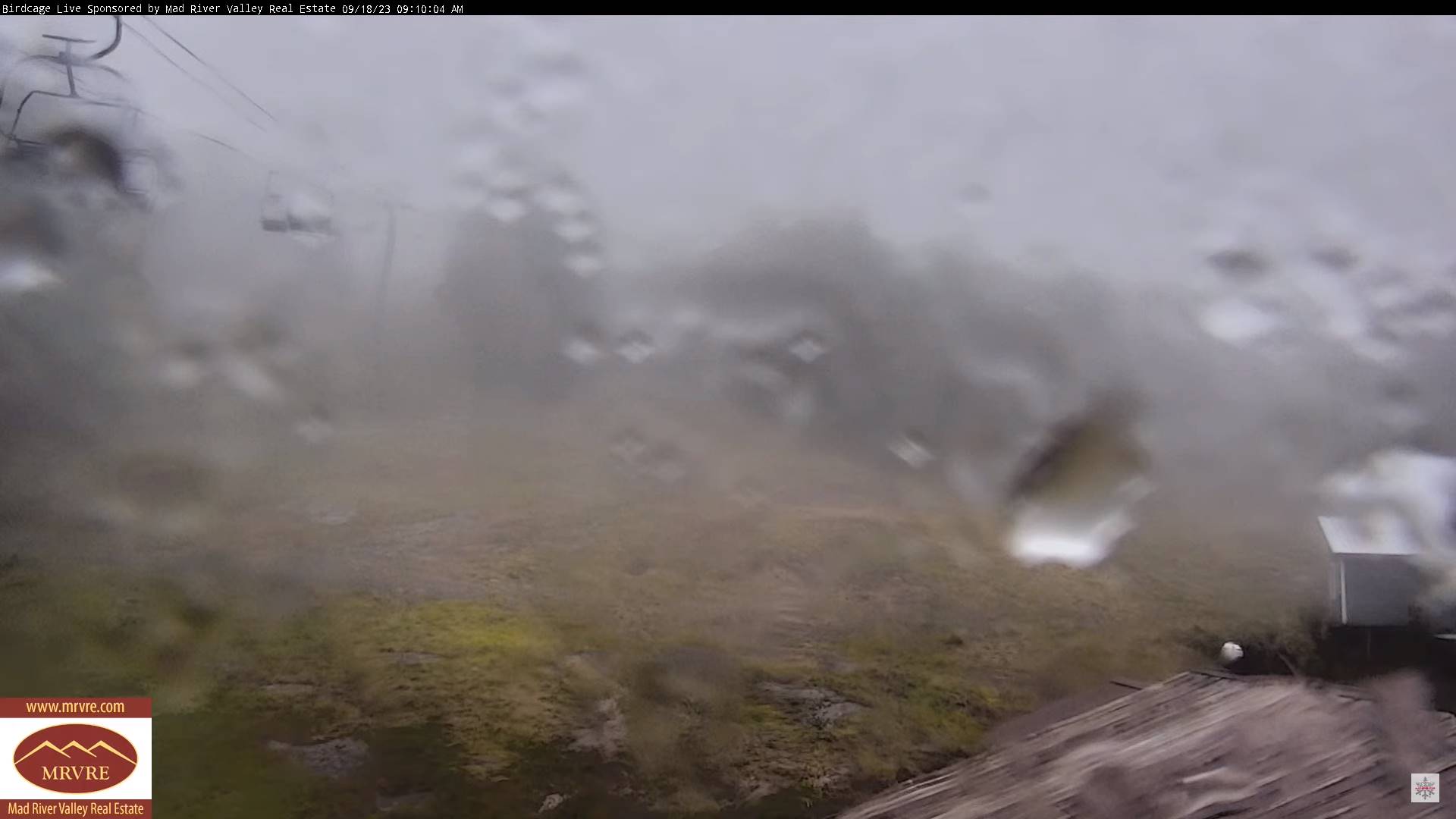
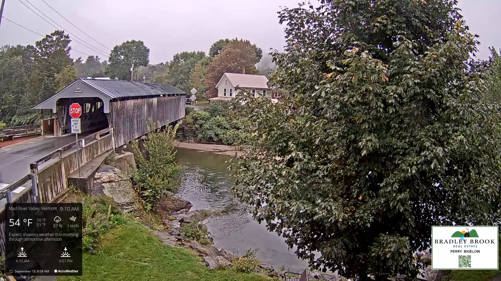
TODAY: Gray & rainy with areas of fog. A high near 60. Light southeast winds.

TONIGHT: Cloudy. Periods of rain, moderate at times. A low in the mid to upper 50s. Winds becoming north to northwesterly and increasing 10 to 15 mph.

TUESDAY: Lots of clouds north with lingering light rain showers. Partial sun southern areas with isolated mountain sprinkles. A high in the low 60s. Blustery northwest winds 10 to 20 mph.
Looking further ahead

TUESDAY NIGHT: Isolated leftover showers dry up early, otherwise clearing. A low in the upper 40s.
WEDNESDAY: Some morning low clouds and valley fog burns off to partly to mostly sunny skies. A high in the mid-60s.

THURSDAY: Patchy valley fog then mostly sunny. A low around 45. A high upper 60s to near 70.

FRIDAY: Valley fog, then mostly sunny with a few more afternoon clouds. A low 45 to 50. A high around 70.
SATURDAY: Sunshine becoming filtered thru high cloudiness. A low upper 40s. A high in the mid-70s.

Average lows in the low to mid 40s. Average highs mid to upper 60s.
RH/9-18 forecast][end]
Updated Friday Evening Forecast — September 15th, 2023

TONIGHT: Fair with thickening high overcast.A lowin the low to mid 50s. Light north winds increasing 10 to 15 mph overnight.

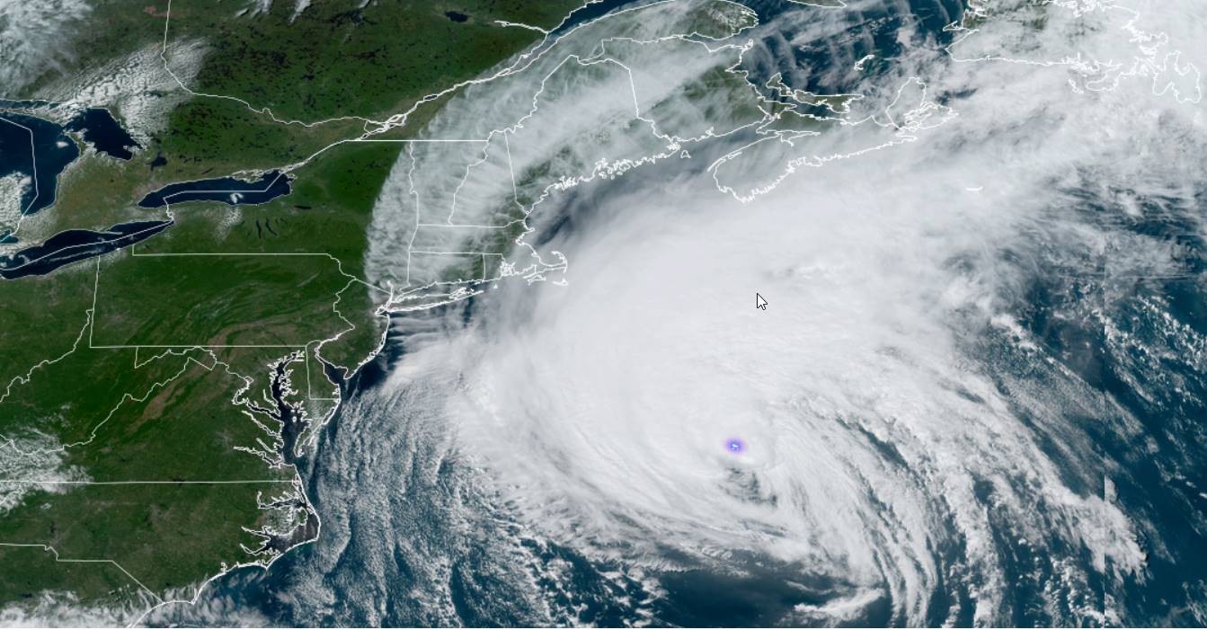
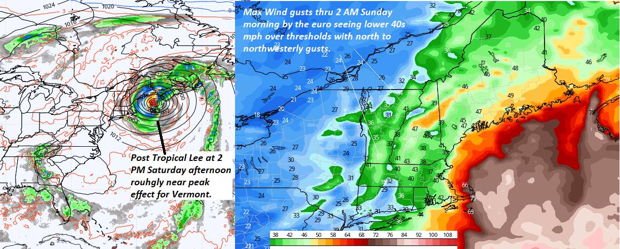
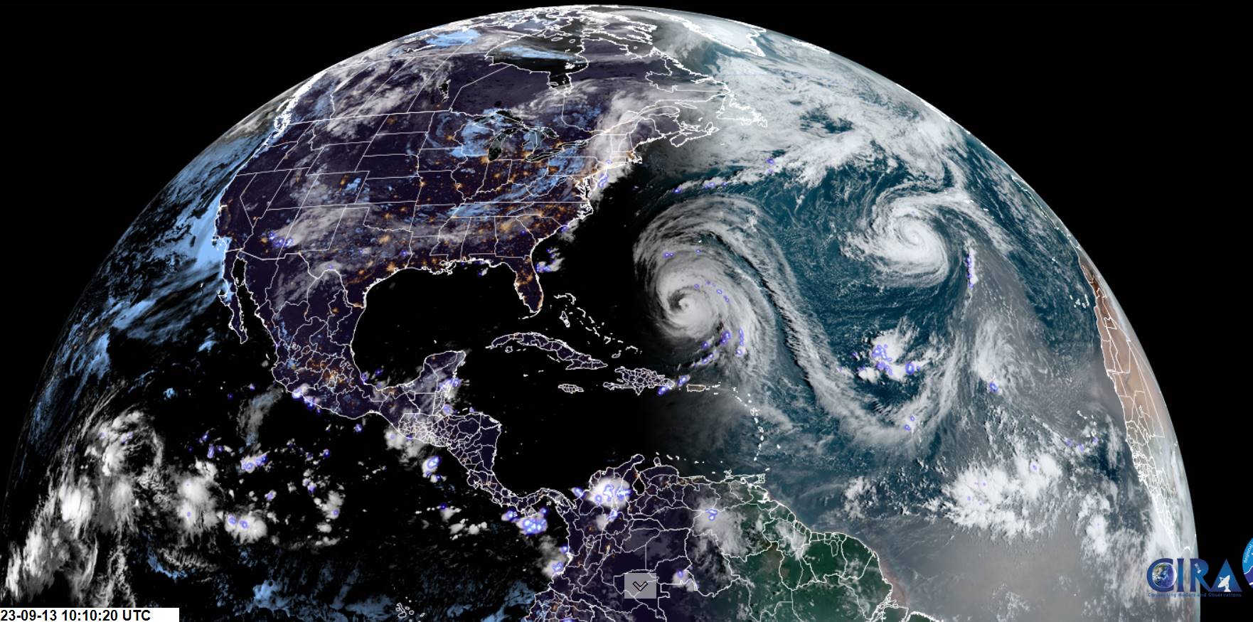
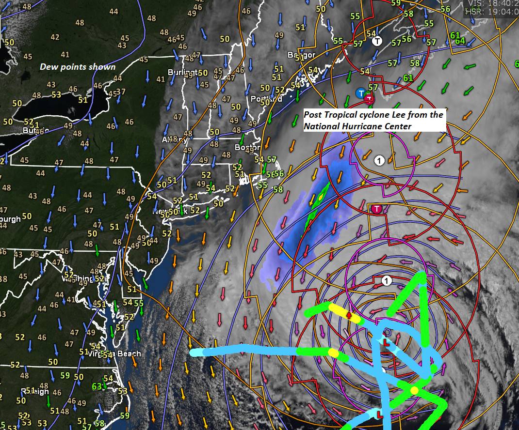
Post Tropical remnants of Lee passes well east in the Gulf of Me. Bay of Fundy…

TOMORROW: Generally gray, with hints of sun especially western areas. Breezy especially east of the Green Mountains. A high around 65. Northwest winds 10 to 20 mph with higher gusts eastern Vermont and near Lake Champlain.

SATURDAY NIGHT: High cloudiness exiting to clearing skies. A low upper 40s to around 50. Light northwest winds.

SUNDAY: Sunshine with high clouds later in the afternoon. A high around 70. Light west winds.

Looking further ahead

SUNDAY NIGHT: Cloudy.A rising chance for showers. A low in the lower 50s

MONDAY: Gray. Good chance for morning showers, some moderate. Then, mostly cloudy. A high 70 to 75.

TUESDAY: Morning fog & low cloudiness, then partly to mostly sunny. A low near 50. A high in the low 60s.

WEDNESDAY: Valley fog burns off to partial afternoon sunshine. A low in the mid-40s. A high near 65.

Average lows mid-40s to around 50. Average highs upper 60s to low 70s.

RH/9-15 forecast][end]

Updated Friday Morning Forecast — September 15th, 2023

TODAY: Pick of the week. Sunshine filtered through increasing high thin cloudless. A high mid-60s. North breeze 10 mph.

TONIGHT: Fair with thickening high overcast.A low50 to 55. Light north to northwest winds increasing 10 to 15 mph overnight.

Post Tropical remnants of Lee passes well east in the Gulf of Me. Bay of Fundy…

SATURDAY: Generally gray, with some hints of sun. Breezy to windy especially east of the Green Mountains. Widely scattered showers eastern Northeast kingdom. A high low to mid 60s. Northwest winds 10 to 25 mph with locally higher gusts far eastern Vermont.

Looking further ahead

SATURDAY NIGHT: Clearing in the evening. A low upper 40s to around 50

SUNDAY: Sunshine with a few high clouds. A high around 70.

MONDAY: Clouding up leading to a chance for showers, some moderate at times. A low in the lower 50s. A high 70 to 75.

TUESDAY: Morning fog & low cloudiness, then partly to mostly sunny. A low near 50. A high in the low 60s.

WEDNESDAY: Valley fog burns off to partly cloudy. A low in the mid-40s. A high near 65.

Average lows mid-40s to around 50. Average highs upper 60s to low 70s.

RH/9-15 forecast][end]

Updated Thursday Evening Forecast — September 14th, 2023

TONIGHT: Mostly clear & cool. Patchy valley fog.A low around 45. Light northwest winds.

TOMORROW: Pick of the week. Sunshine filtered through high thin clouds. A high mid-60s. North breeze 10 mph.

FRIDAY NIGHT: Fair with thickening high overcast.A lowin the lower 50s. Light north to northwest winds increasing 10 to 15 mph overnight.

Post Tropical remnants of Lee passes well east in the Gulf of Me. Bay of Fundy…

SATURDAY: Generally gray, with some hints of sun late. Becoming rather breezy east of the Green Mountains. Scattered showers toward New Hampshire. A high in the low 60s. Northwest winds 10 to 20 mph with locally higher gusts eastern Vermont.

Looking further ahead

SATURDAY NIGHT: Clearing in the evening. A low upper 40s to around 50

SUNDAY: Sunshine with a few high clouds. A high near 70.

MONDAY: Fog burns off to morning sunshine with a few more afternoon clouds. Slight chance for a few brief showers. A low in the lower 50s. A high 70 to 75.

TUESDAY: Morning fog then partly to mostly sunny. A low near 50. A high 60 to 65.

WEDNESDAY: Valley fog burns off to partly to mostly sunny. A low upper 40s to around 50. A high around 70.

Average lows mid-40s to around 50. Average highs upper 60s to low 70s.

RH/9-14 forecast][end]

Updated Wednesday Night Weather — September 13th, 2023

TONIGHT: A leftover shower or two dries up early, otherwise clearing. Patchy valley fog and low clouds overnight. A low around 50. Light west winds.

TOMORROW: Fog burns off to partly to mostly sunny skies, much less humid. A high around 65. West breeze 10 mph.

THURSDAY NIGHT: Mostly clear & cool. Patchy valley fog.A low around 45. Light north to northwest winds.

FRIDAY: Pick of the week. Sunshine with high clouds in the afternoon. A high in the mid-60s. North breeze 10 mph.

Looking further ahead

FRIDAY NIGHT: Fair with thickening high overcast.A lowin the lower 50s.

Post Tropical remnants of Lee passes well east toward Bay of Fundy…

SATURDAY: Clouds with some hints of sun late. Becoming rather breezy east of the Green Mountains. Scattered showers toward New Hampshire. A high 60 to 65.

SUNDAY: Sunshine with a few high clouds. A low in the low 50s. A high around 70.

MONDAY: Fog burns off to morning sunshine with a few more aftr4ernoon clouds. A low around 50. A high upper 60s.

TUESDAY: Morning fog then mixed clouds and sun. A low in the mid-40s. A high 60 to 65.

Average lows mid-40s to around 50. Average highs upper 60s to low 70s.

RH/9-13 forecast][end]

Updated Wednesday Morning forecast — September 13th, 2023

TODAY: Mainly gray. Showers, some moderate at times, maybe a rumble of thunder southern areas exiting late. Breaks of late day sun possible. A high in the mid-60s. Light south winds.

TONIGHT: A leftover shower or two dries up early, otherwise clearing. Patchy valley fog. A low around 50. Light west winds.

THURSDAY: Fog burns off to partly to mostly sunny skies, much less humid. A high around 65. Light west winds.

Looking further ahead

THURSDAY NIGHT: Mostly clear & cool. Patchy valley fog.A low in the mid-40s.

FRIDAY: Pick of the week. Sunshine with high cloudiness arriving in the afternoon. A high in the mid-60s.

Post Tropical remnants of Hurricane Lee eastern New England side-swipe…

SATURDAY: Mainly gray. Becoming rather breezy east of the Green Mountains. Scattered showers toward New Hampshire. A lowmid to upper 40s. A high 60 to 65.

SUNDAY: Morning clouds and breezy…gives way to increasing sunshine. A low in the low 50s. A high around 70.

MONDAY: Mainly cloudy, then intervals of sun later on. Scattered showers. A low around 50. A high upper 60s.

Average lows mid-40s to around 50. Average highs upper 60s to low 70s.

RH/9-13 forecast][end]
Updated Tuesday Evening Forecast — September 12th, 2023

TONIGHT: High cloudiness thickening up overnight. A rising chance for showers toward daybreak Champlain Valley. A low in the low 60s. Light southeast winds.

TOMORROW: Gray. Showers, some moderate to heavy at times, maybe a rumble of thunder exiting late. A high in the upper 60s. Light south winds.

WEDNESDAY NIGHT: Any leftover showers dry up early, otherwise becoming mostly clear. Patchy valley fog. A low around 50. Light west winds.

THURSDAY: Fog burns off to partly sunny skies, much less humid and cooler. A high around 65. Light west winds.

Looking further ahead

THURSDAY NIGHT: Mostly clear & cool. Patchy valley fog.A low in the mid-40s.

FRIDAY: Pick of the week. Sunshine with high cloudiness arriving in the afternoon. A high in the mid-60s.

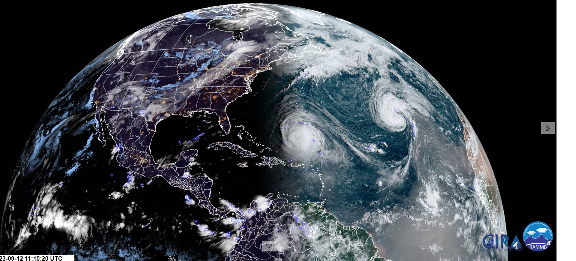
Post Tropical remnants of Hurricane Lee eastern New England side-swipe…

SATURDAY: Gray. Becoming breezy to windy with a chance for showers or periods of wind-blown rain. A low mid to upper 40s. A high 60 to 65.

SUNDAY: Mostly cloudy and breezy with chance for morning showers exiting in the afternoon to periods of sunshine. A low 50 to 55. A high near 65.

Average lows mid-40s to around 50. Average highs upper 60s to low 70s.

RH/9-12 forecast][end]
Updated Tuesday morning Forecast — September 12th, 2023

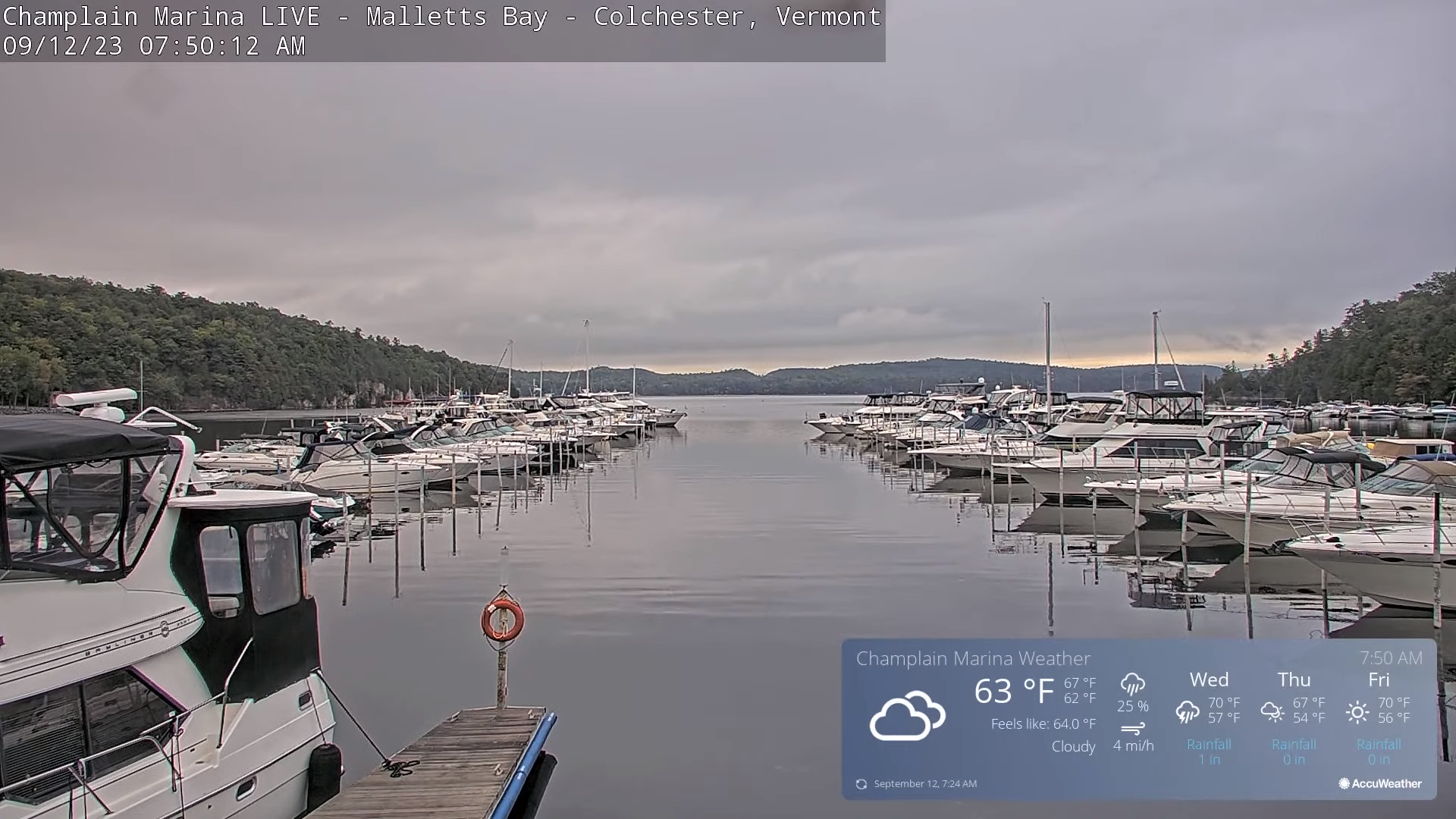
TODAY: Clouds with an occasional break of sun. Scattered misty showers mainly this afternoon Green Mountains & points east. A high 70 to 75. Light southwest winds.

TONIGHT: Scattered evening clouds, then clouding up toward daybreak. A rising chance for showers late. A low in the low 60s. Light southeast winds.

WEDNESDAY: Gray. Showers, some moderate to heavy at times. Slight chance for a few rumbles of thunder. A high in the upper 60s. Light south winds.

Looking further ahead

WEDNESDAY NIGHT: Any leftover showers exiting then partly cloudy. Patchy valley fog. A low around 50.

THURSDAY: Mixed sun and clouds. A high around 65.

FRIDAY: Pick of the week. Sunshine with few high clouds later on thickening up overnight. A low in the mid-40s. A high in the mid-60s.

SATURDAY: Gray. Becoming breezy to windy with a chance for showers or periods of wind-blown rain. A low mid to upper 40s. A high 60 to 65.

SUNDAY: Mostly cloudy and breezy with chance for morning showers exiting in the afternoon to periods of sunshine. A low 50 to 55. A high near 65.

Average lows mid-40s to around 50. Average highs upper 60s to low 70s.

RH/9-12 forecast][end]
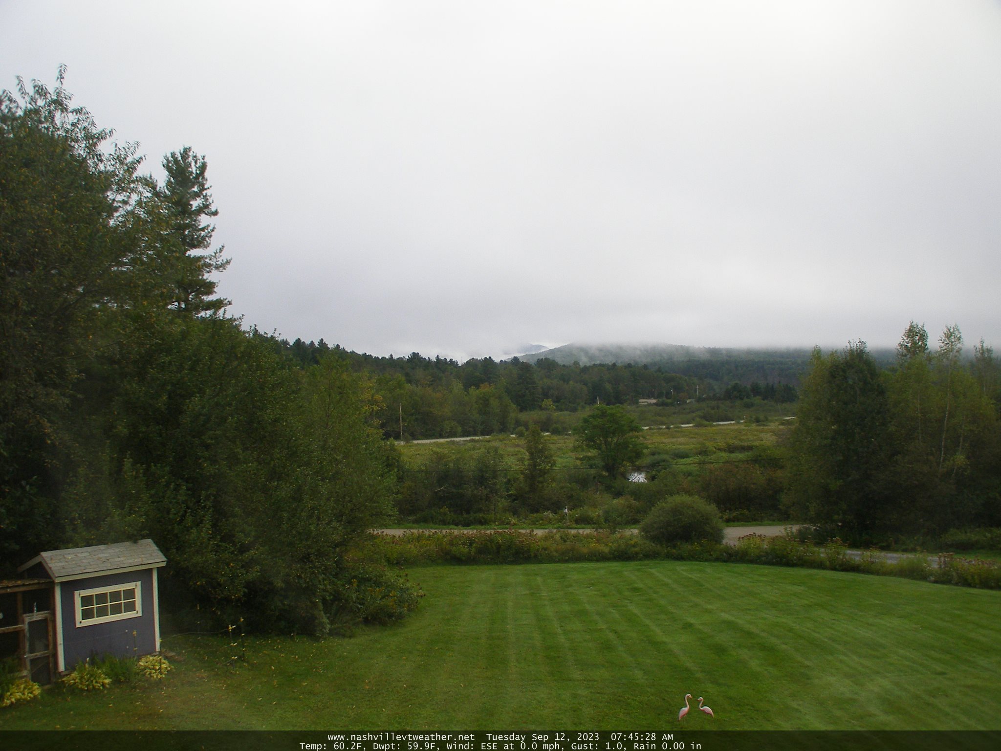
Updated Monday Evening Forecast — September 11th, 2023

TONIGHT: A few early evening clouds, otherwise clearing. Areas of fog and low clouds develop overnight. A low upper 50s. Little wind.

TOMORROW: Morning fog then breaks or intervals of sun mixed with clouds. Chance for mainly afternoon showers Green Mountain & points east. A high mid-70s. Light southwest winds.

TUESDAY NIGHT: Scattered evening clouds, then clouding up toward daybreak. A rising chance for showers late. A low upper 50s to near 60. Light southeast winds.

WEDNESDAY: Gray. Periods of rain, or showers, some moderate to heavy at times. Slight chance for a few rumbles of thunder. A high in the mid-60s. Light south winds.

Looking further ahead

WEDNESDAY NIGHT: Any leftover showers exiting to mostly clear skies. Considerable dense valley fog. A low 45 to 50.

THURSDAY: Sunshine after morning fog…mixed with few afternoon clouds. A high around 65.

FRIDAY: Pick of the week. Sunshine with few high clouds later on. A low around 50. A high in the mid-60s.

SATURDAY: Filtered sunshine thru high cloudiness, thickening up in the afternoon. A low mid to upper 40s. A high 60 to 65.

SUNDAY: Partly to mostly sunny. A low 50 to 55. A high near 65.

Average lows mid-40s to around 50. Average highs upper 60s to low 70s.

RH/9-11 forecast][end]
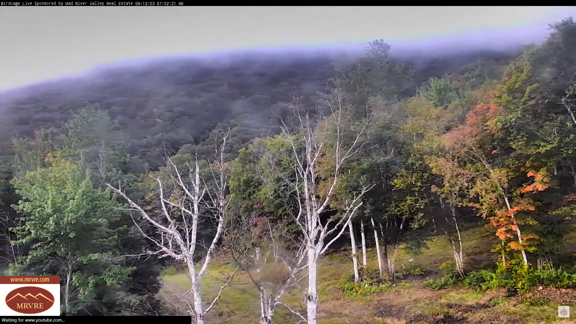
Updated Monday Morning Forecast — September 11th, 2023

TODAY: Cloudy. Showers this morning becoming widely scattered this afternoon. Maybe a rumble of thunder far southern areas. Breaks or intervals of sun later today. A high near 70. Light north winds.

TONIGHT: Mostly clear for a time before considerable fog and low clouds develop. A low upper 50s to around 60. Little wind.

TUESDAY: Morning fog then breaks or intervals of sun mixed with clouds. Chance for mainly afternoon showers. A high near 75. Light southwest winds.

Looking further ahead

TUESDAY NIGHT: Overcast. A rising chance for showers late. A low around 60.

WEDNESDAY: Gray. Periods of rain, or showers, some moderate to heavy at times. Slight chance for a few rumbles of thunder. A high mid to upper 60s.

THURSDAY: Sunshine after morning fog…mixed with afternoon clouds. A low in the upper 40s. A high around 65.

FRIDAY: Pick of the week. Mostly sunny after patchy valley fog. A low around 50. A high in the mid-60s.

Average lows mid-40s to around 50. Average highs upper 60s to low 70s.

RH/9-11 forecast][end]