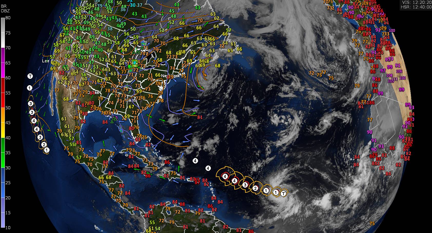
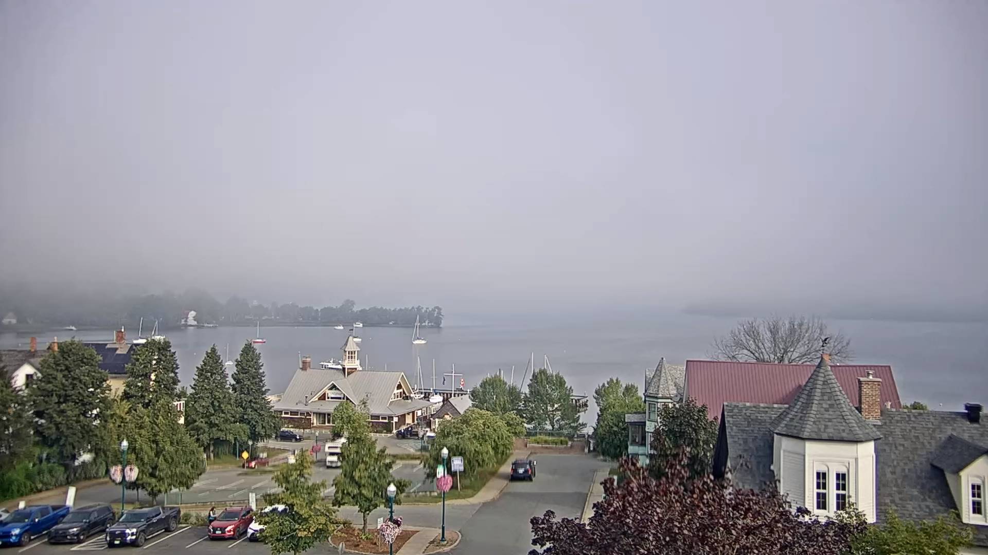
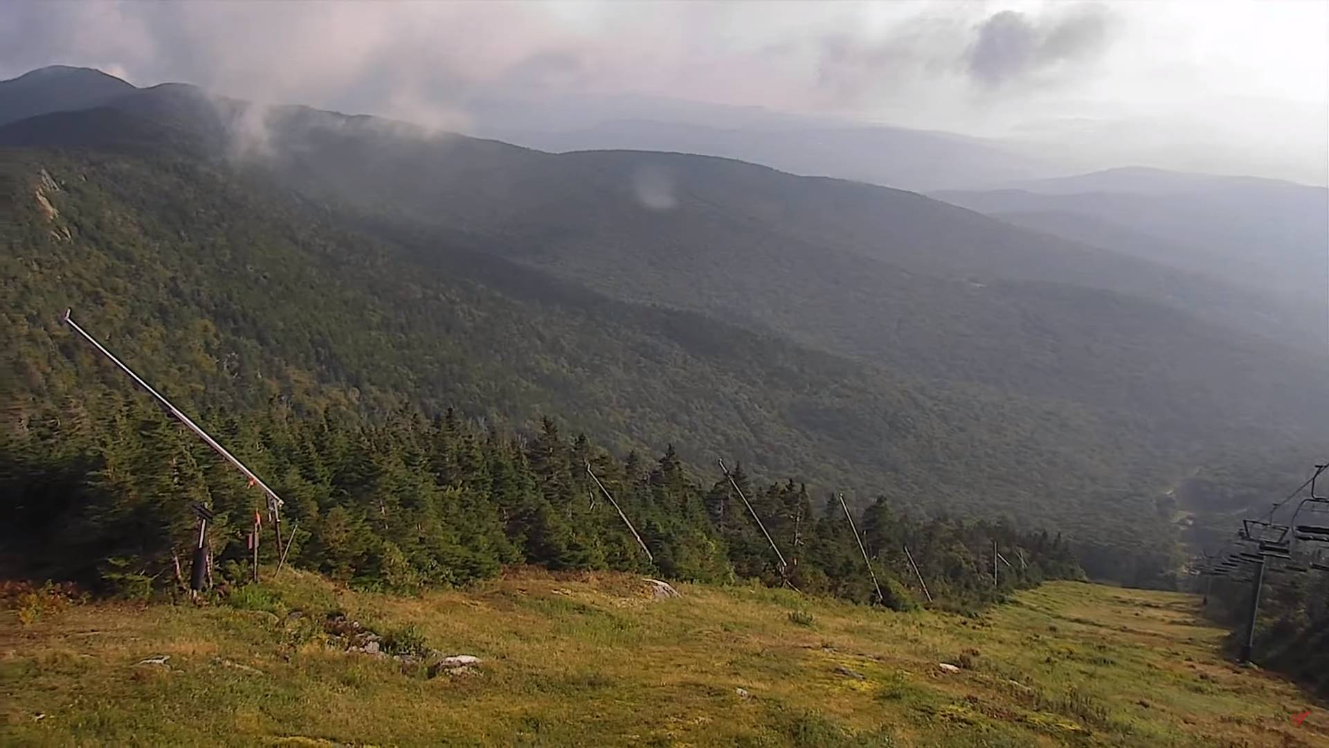
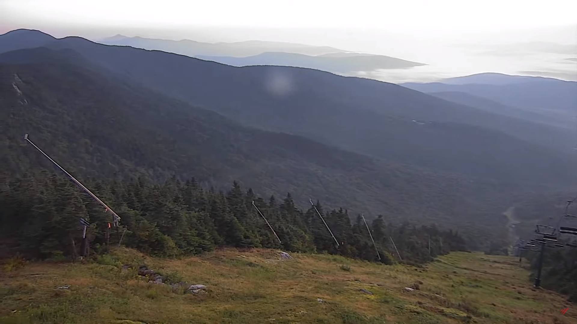
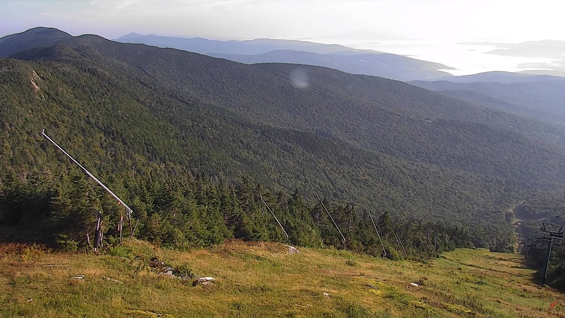
Updated Friday Evening Forecast — September 8th, 2023

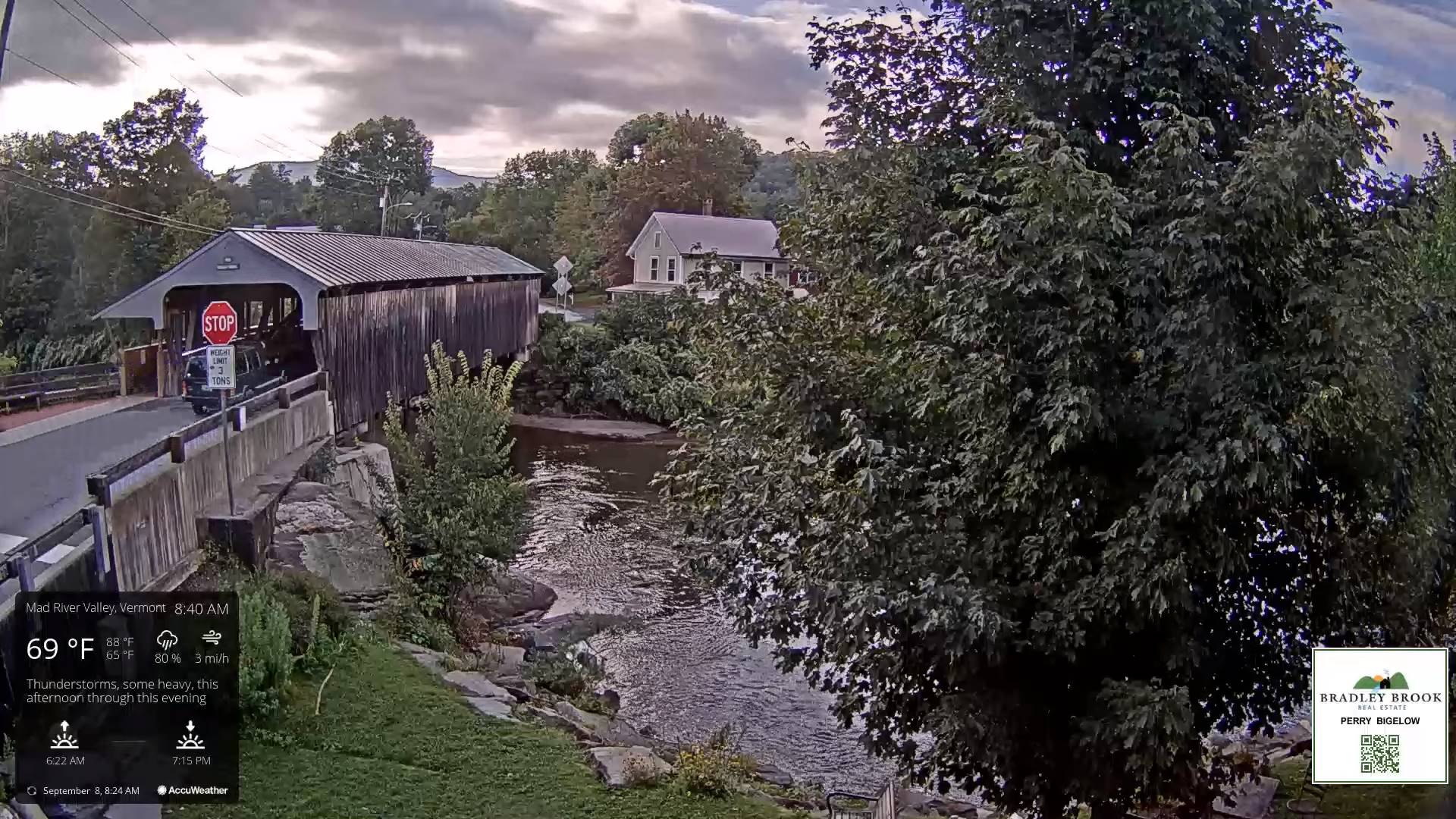
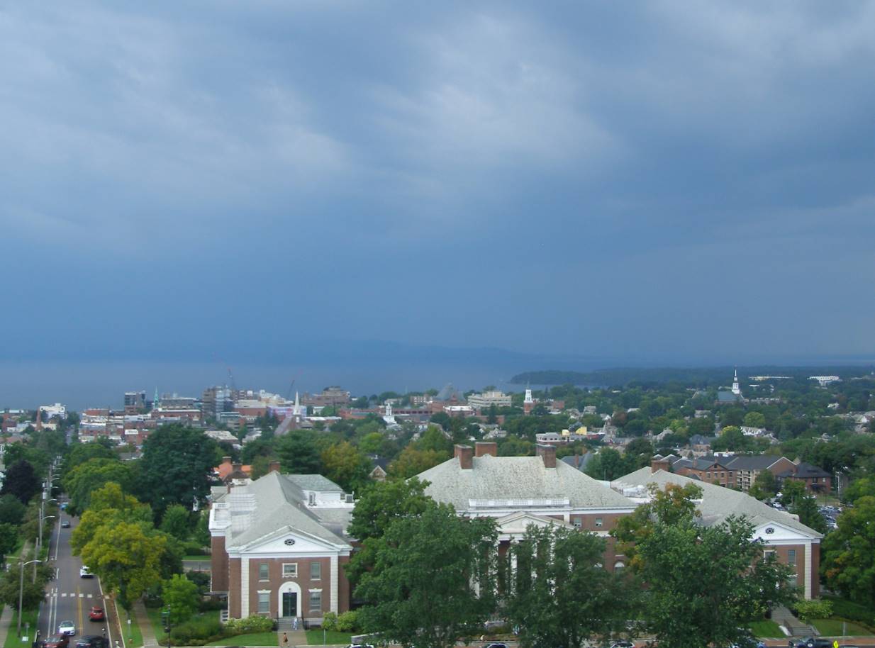
TONIGHT: Widely scattered showers with a few thunderstorms…some locally heavy. Otherwise mostly cloudy. A low 60 to 65. Light west winds.

TOMORROW: Intervals of sun mixed with lots of clouds. Isolated showers maybe a thunderstorm southern areas. A high in the mid to upper 70s. Light northwest winds.

SATURDAY NIGHT: Lots of clouds. Slight chance for a shower or thunderstorm. Still somewhat muggy. A low in the low 60s. Little wind

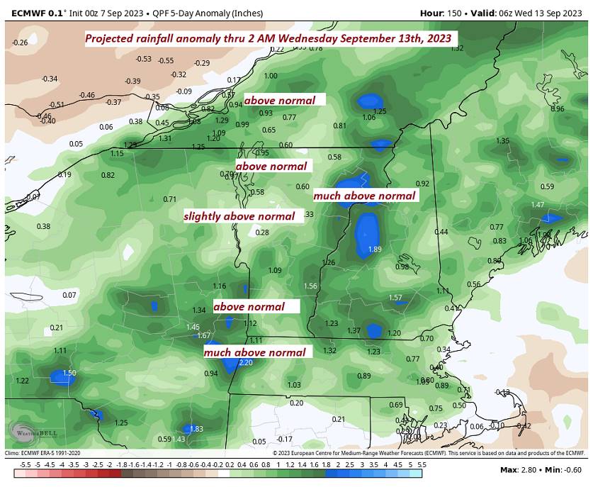
SUNDAY: Mainly cloudy. Good chance for showers with a rumble or two of thunder possible. A high around 75. Light southeast winds.

Looking further ahead

SUNDAY NIGHT: Mostly cloudy. Chance for showers, maybe a rumble of thunder early. A low about 60.

MONDAY: Considerable cloudiness. Scattered showers, with an isolated thunderstorm. A high around 70.
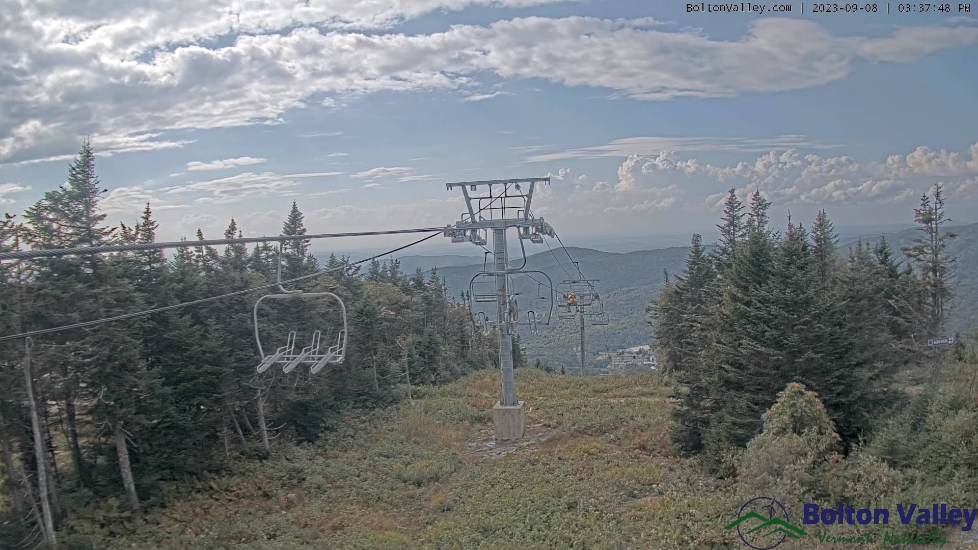
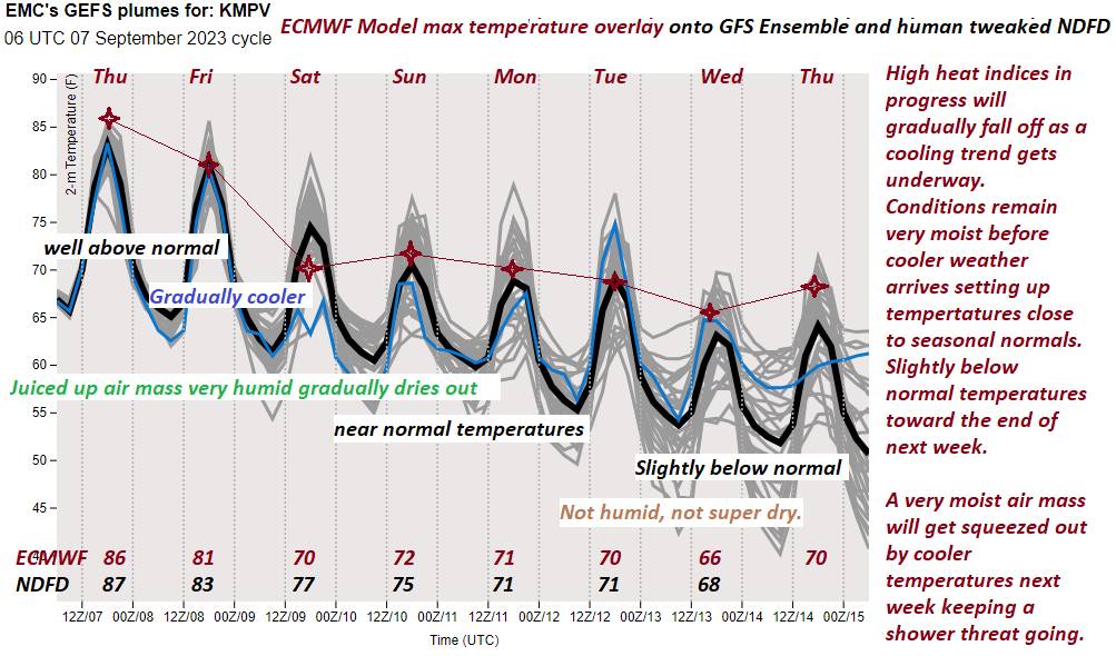
TUESDAY: Mostly cloudy. Chance for mainly afternoon showers. A low upper 50s. A high around 70.

WEDNESDAY: Lots of clouds. Chance for showers…some possibly heavy at times.

Average lows mid-40s to mid-50s. Average highs in the low to mid 70s.

RH/9-8 forecast][end]
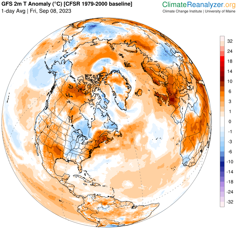
Updated Friday Morning Forecast — September 8th, 2023

TODAY: Patchy valley fog burns off to mixed sun and clouds. Mid to late afternoon showers and thunderstorms, some possibly strong and locally heavy. Continued sticky. A high 80 to 85. Heat indices mid to upper 80s. Light southwest winds.

TONIGHT: Scattered showers with a few leftover thunderstorms early…some strong and locally heavy. Otherwise mostly cloudy. A low about 65. Light west winds.

SATURDAY: Intervals of sun mixed with lots of clouds. Afternoon showers and thunderstorms likely central and southern areas. A high in the low-80s. Light northwest winds.

Looking further ahead

SATURDAY NIGHT: Lots of clouds. Slight chance for a shower or thunderstorm. Still somewhat muggy. A low in the low to mid 60s.

SUNDAY: Mainly cloudy. Good chance for showers and embedded thunderstorms in the afternoon. A high 70 to 75.

MONDAY: Considerable cloudiness. Scattered showers, with an isolated thunderstorm. A low about 60. A high around 70.

TUESDAY: Mostly cloudy. Chance for mainly afternoon showers. A low upper 50s. A high around 70.

Average lows mid-40s to mid-50s. Average highs in the low to mid 70s.

RH/9-7 forecast][end]
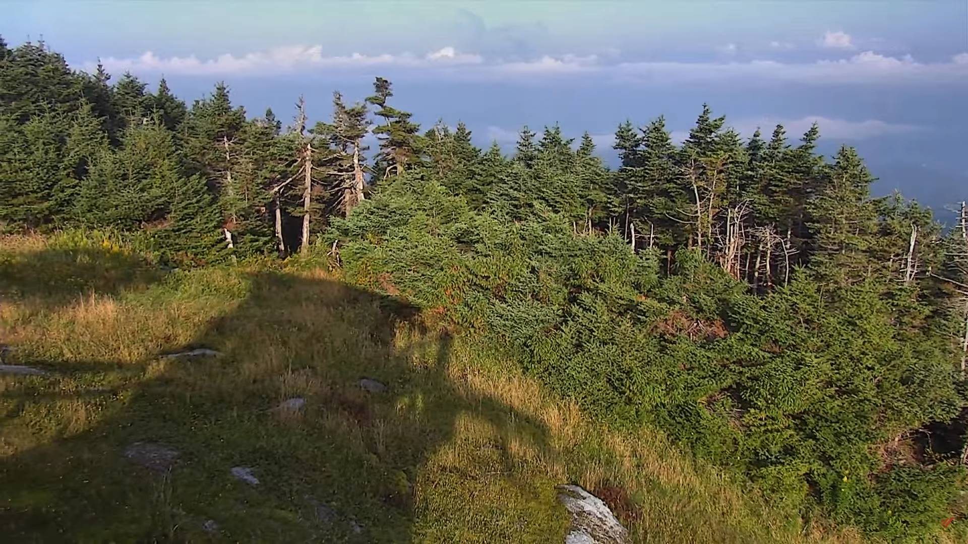
Updated Thursday Evening Forecast — September 7th, 2023

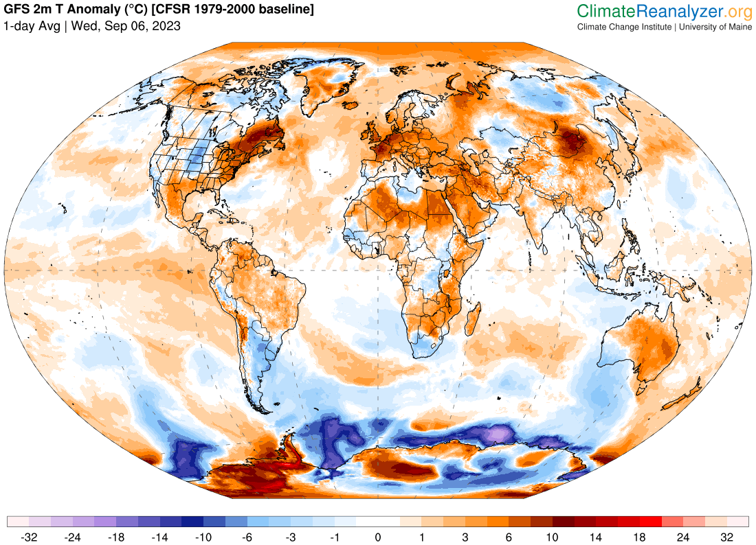
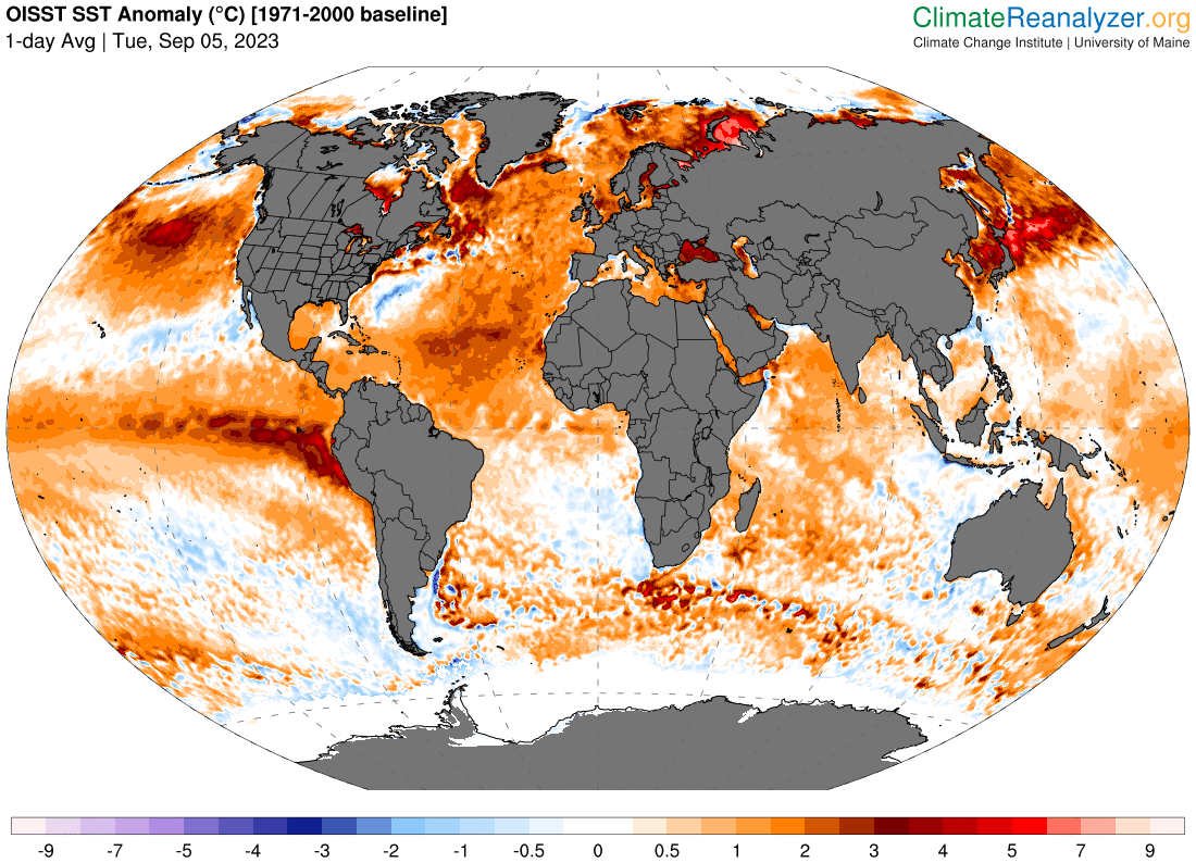
Heat Advisory thru 7 PM this evening…

TONIGHT: Cloudy periods. Showers and thunderstorms early this evening and again possibly overnight across mainly northern areas, one or two with gusty winds and locally heavy downpours then partly cloudy overnight. A low in the upper 60s to around 70. Light south winds.

TOMORROW: Morning fog burns off to partial sunshine. Mid to late afternoon showers and thunderstorms, some possibly strong and locally heavy. Continued sticky. A high 80 to 85. Heat indices mid-80s to near 90. Light southwest winds.

FRIDAY NIGHT: Scattered showers with a few leftover thunderstorms early…some strong and locally heavy. Otherwise partly to mostly cloudy. A low about 65. Light west winds.

SATURDAY: Intervals of sun mixed with clouds. Good chance of afternoon showers and thunderstorms roughly south of the Barre-Montpelier area. A high in the low-80s. Light northwest winds.

Looking further ahead

SATURDAY NIGHT: Lots of clouds. Scattered showers with a chance for a few heavy thunderstorms. Still muggy. A low around 65.

SUNDAY: Mostly cloudy. Chance for showers and afternoon thunderstorms.. A high in the low to mid 70s.

MONDAY: Considerable cloudiness. Scattered showers, mainly in the afternoon. A low near 60. A high around 70.

TUESDAY: Mostly cloudy. Chance for mainly afternoon showers. A low in the 50s. A high in the upper 60s to around 70.

Average lows mid-40s to mid-50s. Average highs in the low to mid 70s.

RH/9-7 forecast][end]
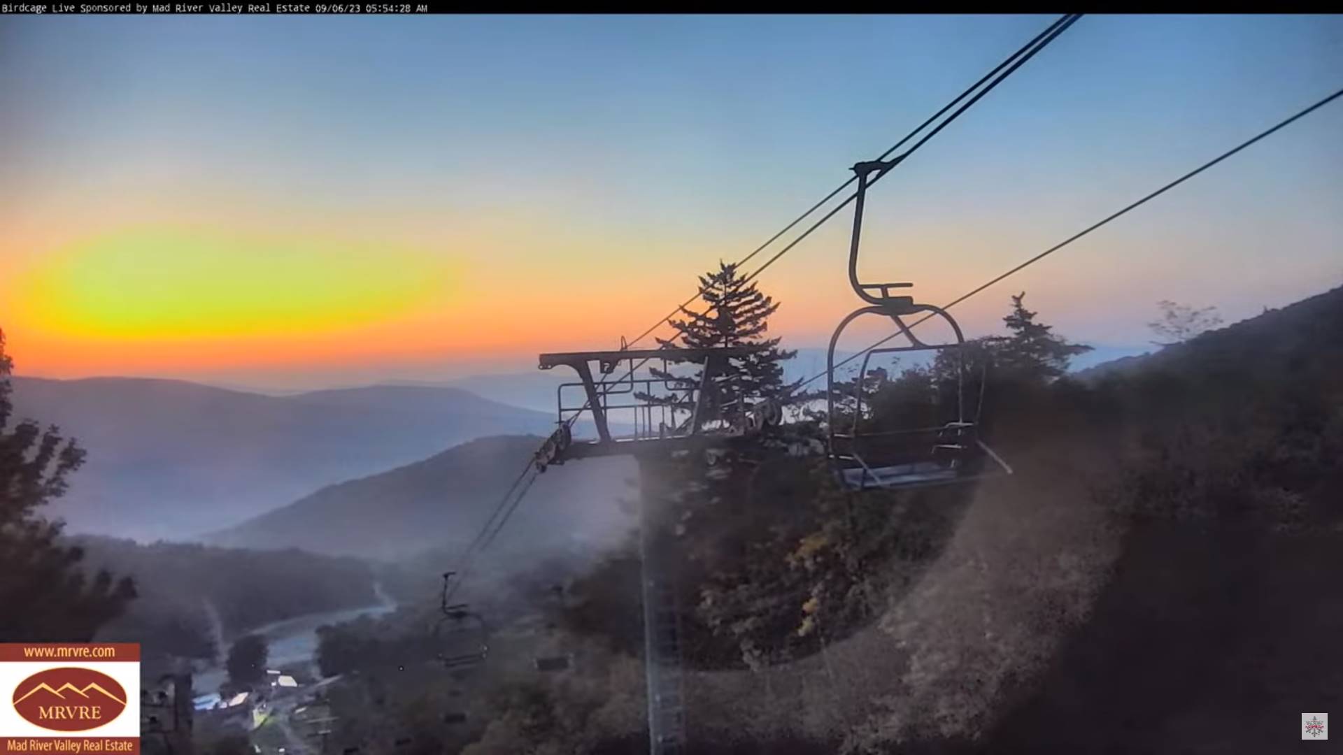
Updated Thursday morning Forecast — September 7th, 2023

Heat Advisory thru 7 PM this evening…

TODAY: Hazy sunshine after morning fog most of the day, giving way to more clouds than sun. Scattered mainly late afternoon shower and thunderstorms toward the Champlain Valley. Warm and sultry. A high mid-80s to near 90 with heat indices low to mid-90s. Light southwest winds.

TONIGHT: Cloudy periods with good chance for evening showers and thunderstorms, some possibly strong and locally heavy, then partly cloudy overnight. A low in the upper 60s to around 70. Light south winds.

FRIDAY: Morning fog burns off to partial sunshine. Mid to late afternoon showers and thunderstorms, some possibly strong and locally heavy. Continued sticky. A high 80 to 85. Heat indices mid-80s to near 90. Southwest breeze 10 mph.

Looking further ahead

FRIDAY NIGHT: Scattered showers with a few leftover thunderstorms in the evening, more cloudiness toward morning. A low about 65.

SATURDAY: Intervals of sun mixed with clouds. Good chance of afternoon showers and thunderstorms. A high in the low-80s.

SUNDAY: Mostly cloudy. Chance for showers and afternoon thunderstorms. A low around 65. A high in the low to mid 70s.

MONDAY: Considerable cloudiness. Scattered showers, mainly in the afternoon. A low near 60. A high around 70.

TUESDAY: Mostly cloudy. Chance for mainly afternoon showers. A low in the 50s. A high in the upper 60s to around 70.

Average lows mid-40s to mid-50s. Average highs in the low to mid 70s.

RH/9-7 forecast][end]
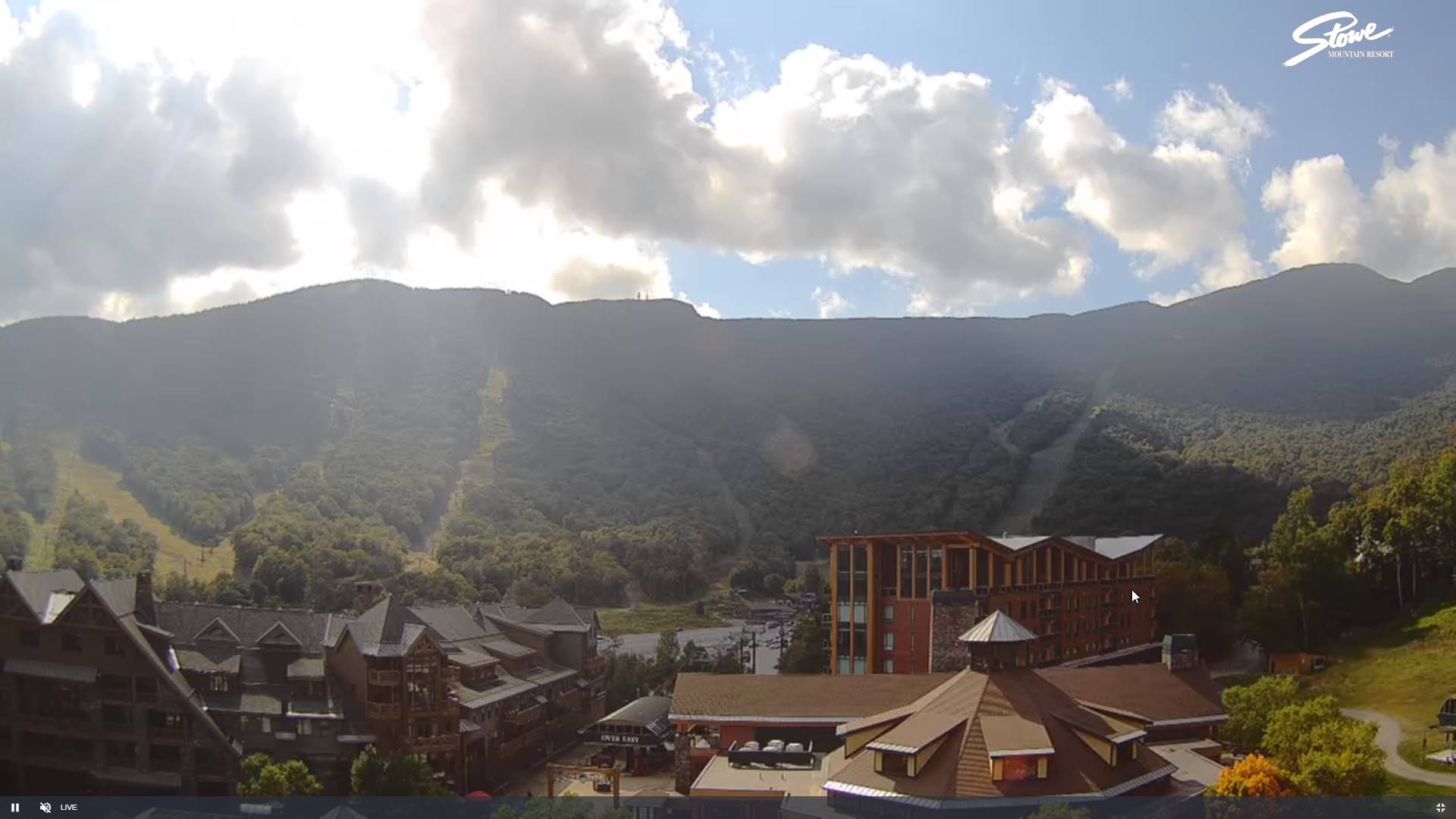
Updated Wednesday Evening Forecast — September 6th, 2023

Heat Advisory thru 7 PM Thursday evening…

TONIGHT: Mostly clear. Patchy valley fog. Muggy. A low 65 to 70. Light winds.

TOMORROW: Sunshine after morning fog with more afternoon clouds. Scattered mainly mid to late afternoon shower and thunderstorms northern areas. Warm and sultry. A high 85 to 90 with heat indices low to mid-90s. Light southwest winds.

THURSDAY NIGHT: Cloudy periods with good chance for early evening showers and thunderstorms, some possibly heavy, then partly cloudy overnight. A low in the upper 60s to around 70. Light south winds.

FRIDAY: Morning fog burns off to partial sunshine. Scattered mid to late afternoon showers and thunderstorms. Continued sticky. A high 80 to 85. Heat indices pushing into the upper 80s to low 90s. Southwest breeze 10 mph.

Looking further ahead

FRIDAY NIGHT: Isolated showers and thunderstorms with partly cloudy skies in the evening, more cloudiness toward morning. A low about 65.

SATURDAY: More clouds than sun. Widely scattered afternoon showers and isolated thunderstorms. A high in the low-80s.

SUNDAY: Mostly cloudy. Chance for showers and afternoon thunderstorms. A low around 65. A high in the low to mid 70s.

MONDAY: Partly to mostly cloudy. Scattered showers. A low near 60. A high around 70.

Average lows mid-40s to mid-50s. Average highs in the low to mid 70s.

RH/9-5-23 forecast][end]
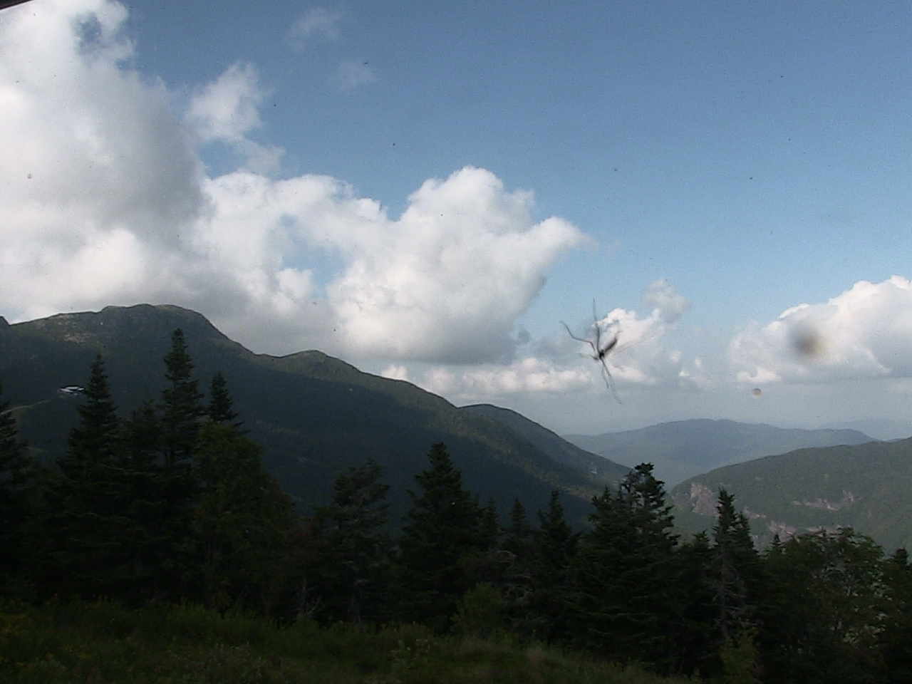
Updated Wednesday Evening Forecast — September 6th, 2023

Heat Advisory thru 7 PM Thursday evening…

TONIGHT: Mostly clear. Patchy valley fog. Muggy. A low 65 to 70. Light winds.

TOMORROW: Sunshine after morning fog with more afternoon clouds. Scattered mainly mid to late afternoon shower and thunderstorms northern areas. Warm and sultry. A high 85 to 90 with heat indices low to mid-90s. Light southwest winds.

THURSDAY NIGHT: Cloudy periods with good chance for early evening showers and thunderstorms, some possibly heavy, then partly cloudy overnight. A low in the upper 60s to around 70. Light south winds.

FRIDAY: Morning fog burns off to partial sunshine. Scattered mid to late afternoon showers and thunderstorms. Continued sticky. A high 80 to 85. Heat indices pushing into the upper 80s to low 90s. Southwest breeze 10 mph.

Looking further ahead

FRIDAY NIGHT: Isolated showers and thunderstorms with partly cloudy skies in the evening, more cloudiness toward morning. A low about 65.

SATURDAY: More clouds than sun. Widely scattered afternoon showers and isolated thunderstorms. A high in the low-80s.

SUNDAY: Mostly cloudy. Chance for showers and afternoon thunderstorms. A low around 65. A high in the low to mid 70s.

MONDAY: Partly to mostly cloudy. Scattered showers. A low near 60. A high around 70.

Average lows mid-40s to mid-50s. Average highs in the low to mid 70s.

RH/9-5-23 forecast][end]
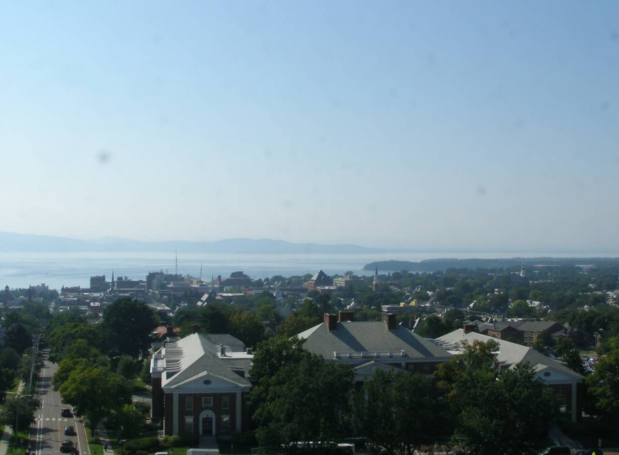
Updated Wednesday Morning Forecast — September 6th, 2023

Heat Advisory thru 7 PM Thursday evening…

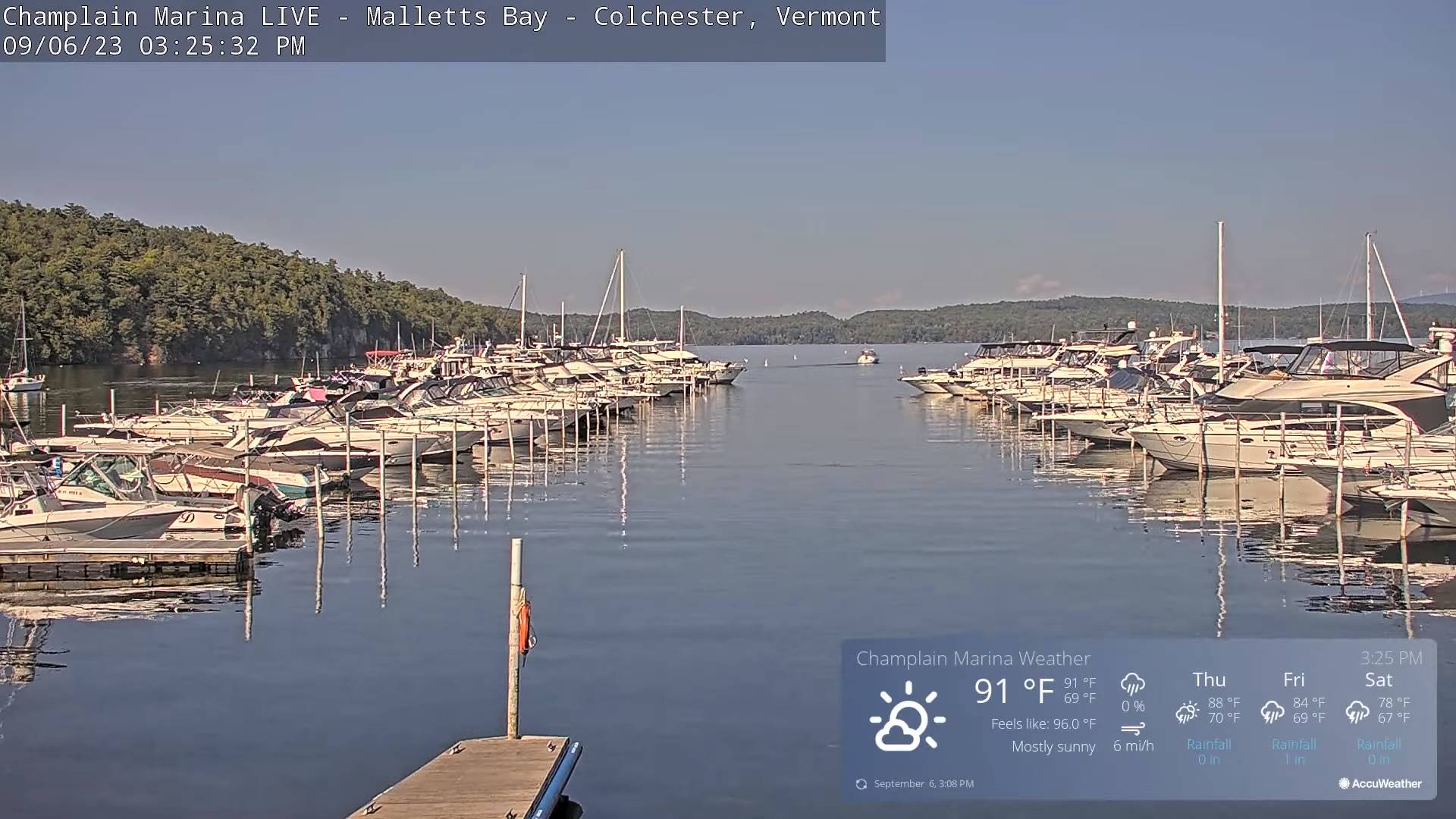
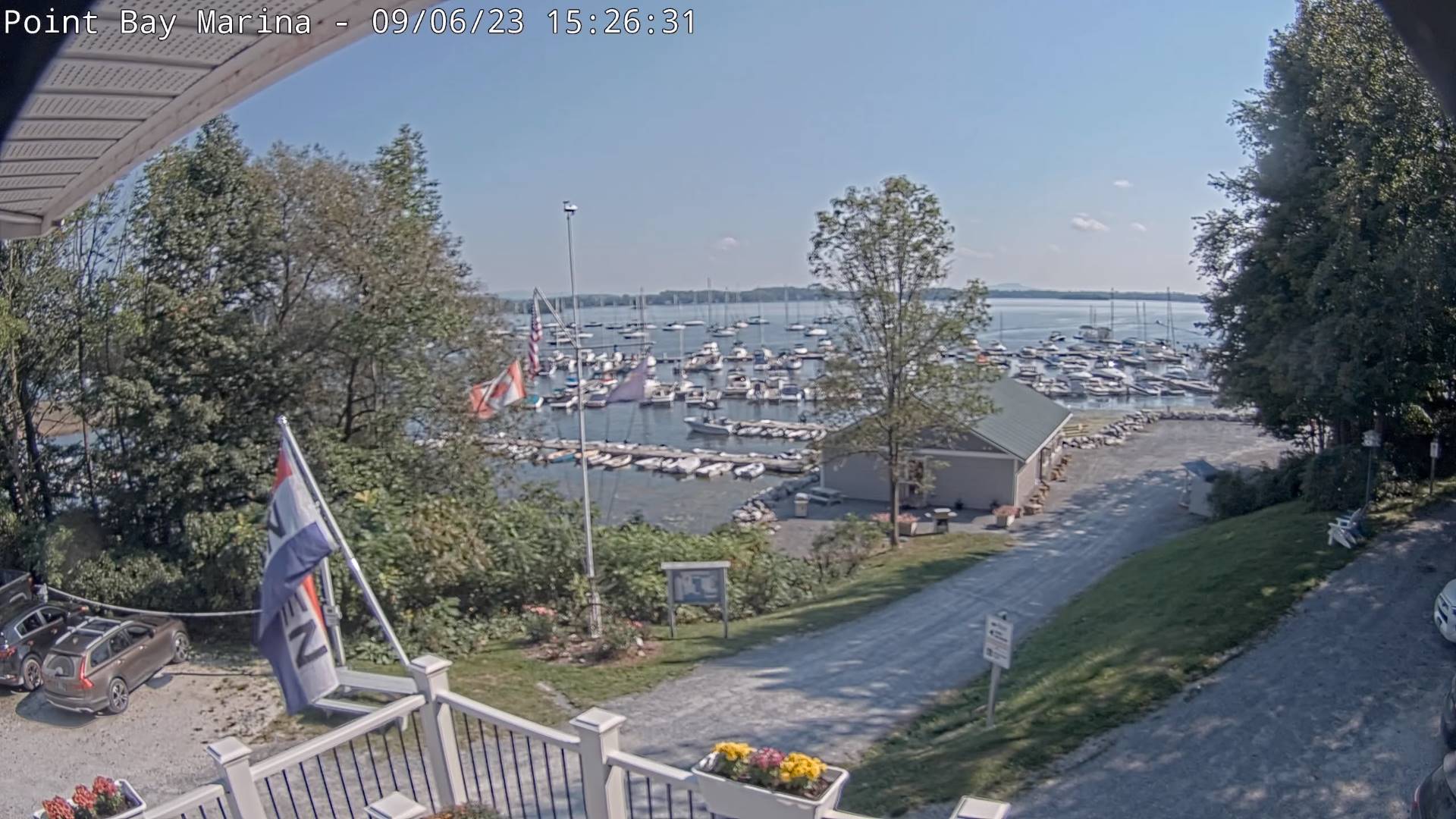
TODAY: Hazy sunshine after morning fog and low clouds. A high 85 to 90 with heat indices low to mid-90s. Light northwest winds.

TONIGHT: Mostly clear. Patchy valley fog. Muggy. A low 65 to 70. Light winds.

THURSDAY: Sunshine after morning fog with more afternoon clouds. Widely scattered mid to late afternoon shower and thunderstorms. Warm and sultry. A high 85 to 90 with heat indices low to mid-90s. Light southwest winds.

Looking further ahead

THURSDAY NIGHT: Cloudy periods with a chance for lingering showers and thunderstorms some moderate to heavy. A low in the upper 60s.

FRIDAY: Morning fog burns off to partial sunshine. Widely scattered afternoon showers and thunderstorms. Continued sticky. A high 80 to 85. Heat indices pushing into the upper 80s to low 90s

SATURDAY: More clouds than sun. Widely scattered afternoon showers and isolated thunderstorms. A low 60 to 65. A high in the low-80s.

SUNDAY: Mostly cloudy. Chance for showers and afternoon thunderstorms. A low around 65. A high low 70s.

MONDAY: Partly to mostly cloudy. Scattered showers and thunderstorms. A low in the low 60s. A high upper 60s to around 70.

Average lows mid-40s to mid-50s. Average highs in the low to mid 70s.

RH/9-5-23 forecast][end]
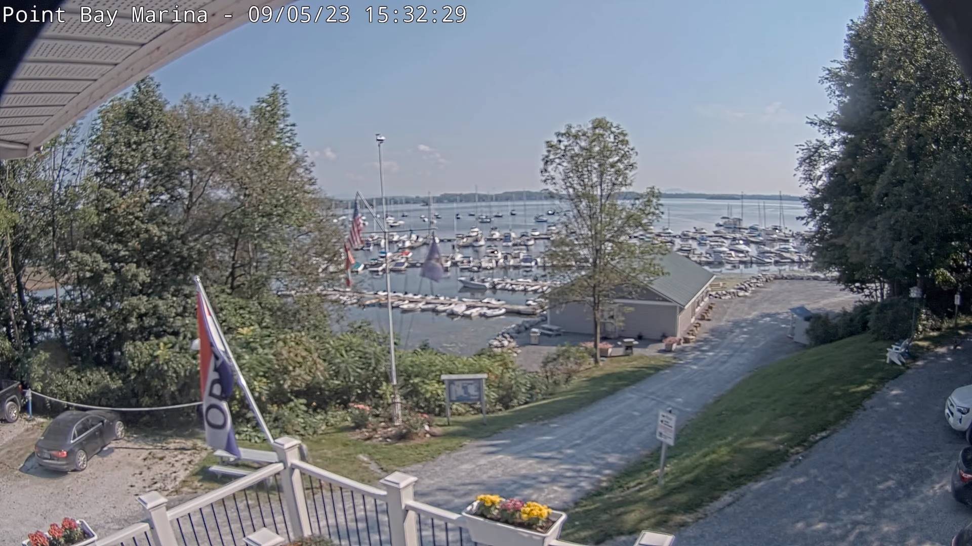
Updated Tuesday Evening Forecast — September 5th, 2023

Heat Advisory thru 7 PM this evening…

TONIGHT: Mostly clear skies with patchy valley fog. Warm and muggy. A low around 65. Little wind.

TOMORROW: Hazy sunshine after morning fog and low clouds. A high 85 to 90 with heat indices upper 80s to mid-90s. Light northwest winds.

WEDNESDAY NIGHT: Mostly clear. Patchy valley fog. Muggy. A low in the mid to upper 60s. Light winds.

THURSDAY: Partly to mostly sunny after morning fog. Widely scattered mid to late afternoon shower and thunderstorms. Warm and sultry. A high mid to upper 80s with heat indices upper 80s to mid-90s. Light southwest winds.

Looking further ahead

THURSDAY NIGHT: Cloudy periods with a chance for lingering showers and thunderstorms some moderate to heavy. A low in the upper 60s.

FRIDAY: Morning fog burns off to sunshine then afternoon clouds. Widely scattered afternoon showers and thunderstorms. Continued sticky. A high in the mid-80s. Heat indices pushing into the upper 80s to low 90s

SATURDAY: Mixed sun and clouds. Widely scattered afternoon showers and isolated thunderstorms. A low 60 to 65. A high in the low-80s.

SUNDAY: Mostly cloudy. Chance for showers and afternoon thunderstorms. A low around 65. A high low 70s.

MONDAY: Partly to mostly cloudy. Scattered showers and thunderstorms. A low in the low 60s. A high upper 60s to around 70.

Average lows mid-40s to mid-50s. Average highs in the low to mid 70s.

RH/9-5-23 forecast][end]
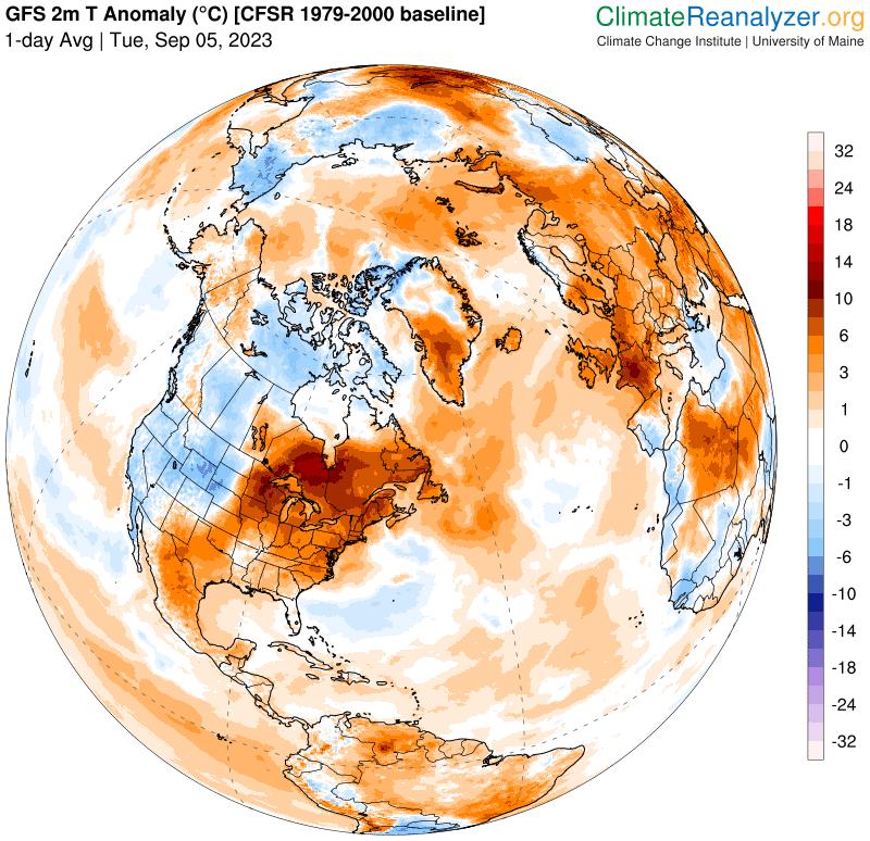
Updated Tuesday morning Forecast — September 5th, 2023

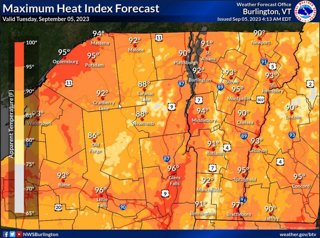
Heat Advisory 1 PM thru 7 PM this evening…

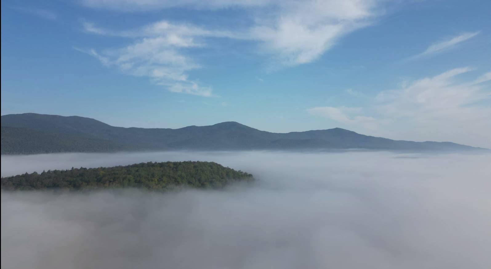
TODAY: Fog burns off to hazy sunshine. Warm and humid. A high mid to upper 80s with heat indices upper 80s to low 90s. Light north to northwest winds.

TONIGHT: Mostly clear skies with scattered clouds overnight. Patchy valley fog. A low around 65. Little wind.

WEDNESDAY: Partly to mostly sunny. A high 85 to 90 with heat indices pushing into the upper 80s to mid-90s. Light northwest winds.

Looking further ahead

WEDNESDAY NIGHT: Mostly clear. Patchy valley fog. A low upper 60s.

THURSDAY: Partly to mostly sunny after morning fog. A late day isolated afternoon shower or thunderstorm, western areas. Warm and sultry. A high mid to upper 80s with heat indices pushing into the upper 80s to mid-90s.

FRIDAY: Morning fog burns off to sunshine with a few afternoon clouds. Widely scattered afternoon showers and thunderstorms. Continued sticky. A low in the upper 60s. A high in the mid-80s. Heat indices pushing into the upper 80s to low 90s

SATURDAY: Mixed sun and clouds. Widely scattered afternoon showers and isolated thunderstorms. A low 60 to 65. A high in the low-80s.

SUNDAY: Mostly cloudy. Chance for showers and afternoon thunderstorms. A low around 65. A high low 70s.

MONDAY: Partly to mostly cloudy. Scattered showers and thunderstorms. A low in the low 60s. A high upper 60s to around 70.

Average lows mid-40s to mid-50s. Average highs in the low to mid 70s.

RH/9-5-23 forecast][end]

Updated Monday Morning Forecast — September 4th, 2023

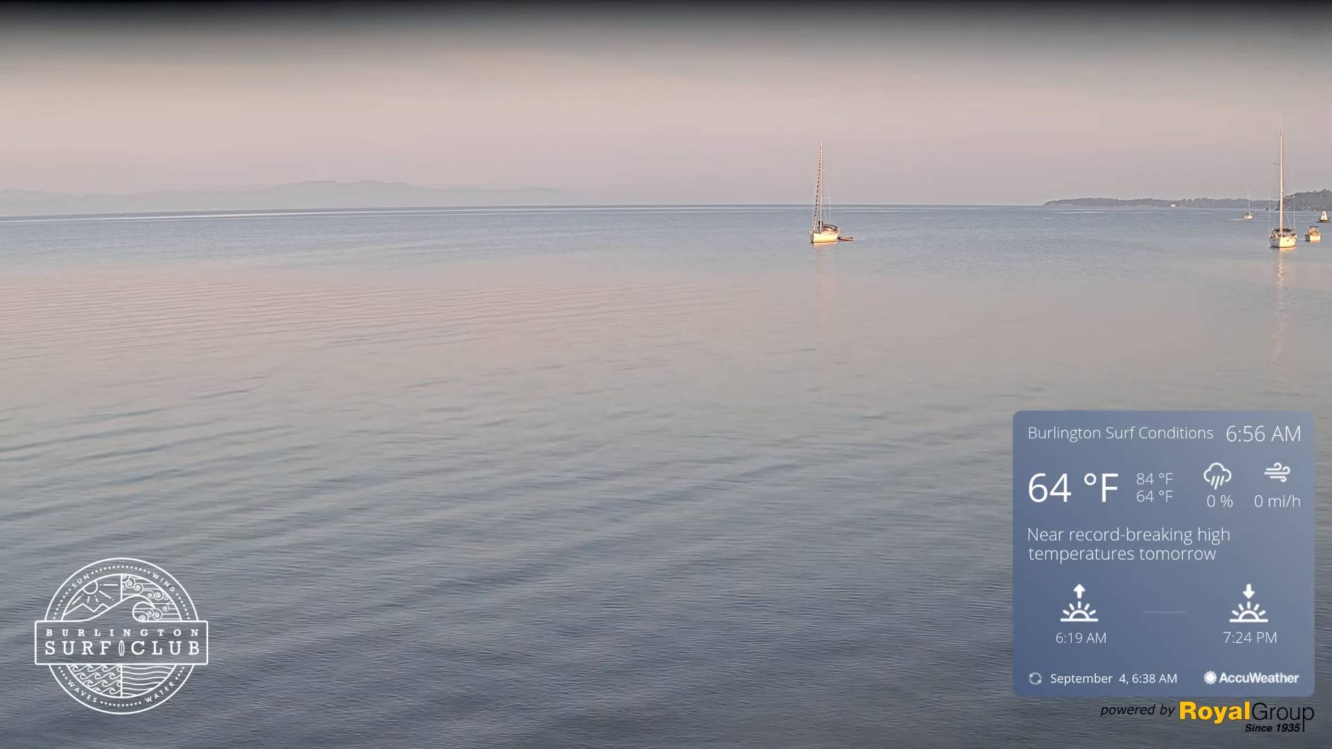
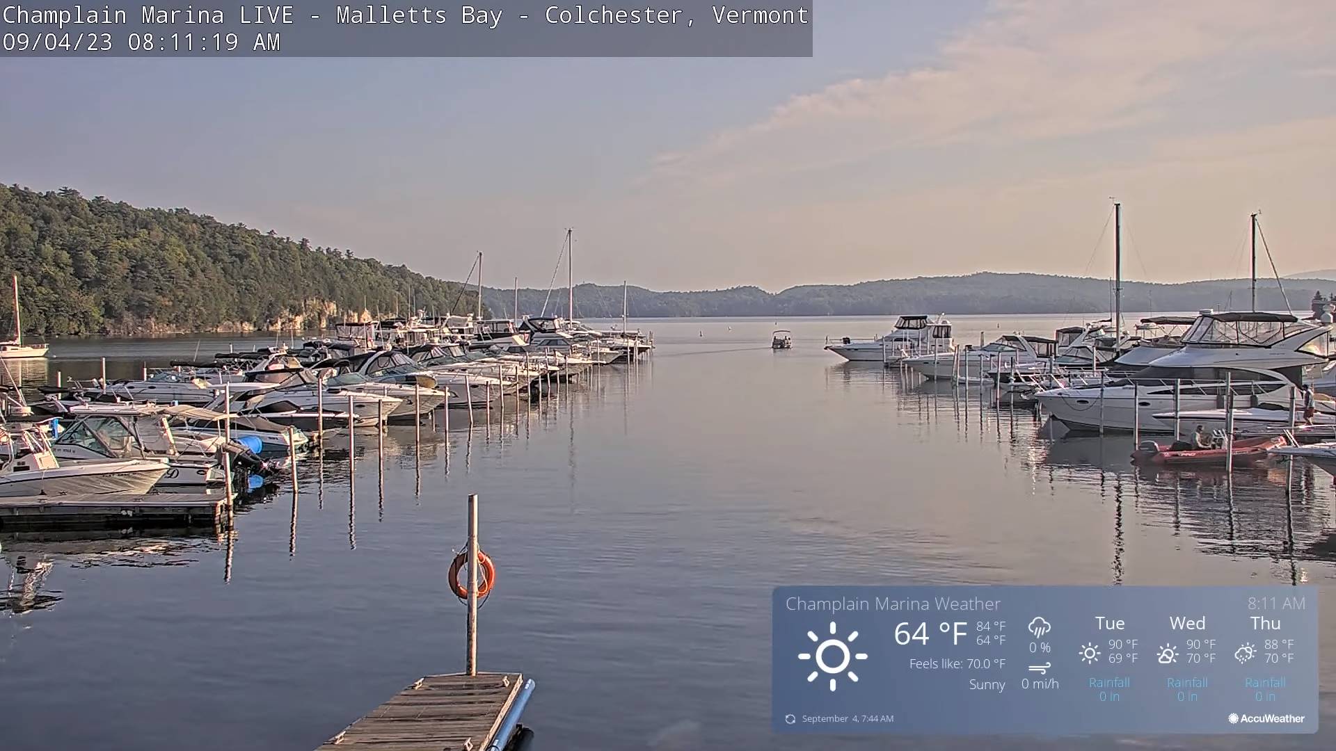
TODAY: Areas of fog burns off to partly to mostly sunny skies. Warm & muggy. A high in the mid-80s with heat indices pushing to near 90. Light west breeze.

TONIGHT: Mostly clear with scattered clouds overnight. Patchy valley fog. Muggy. A low in the mid-60s. Little wind.

TUESDAY: Morning low clouds and fog, then mostly sunny hot and humid. A high in the mid-80s with heat indices upper 80s to low 90s. Light north to northwest winds.

Looking further ahead

TUESDAY NIGHT: Mostly clear skies with scattered clouds overnight. Patchy valley fog. A low around 65.

WEDNESDAY: Variable mainly high cloudiness. A high 85 to 90 with heat indices pushing into the low & mid 90s.

THURSDAY: Partly to mostly sunny after morning fog. Widely scattered afternoon showers and thunderstorms, mainly western and northern areas. Warm and sultry. A low upper 60s. A high mid to upper 80s.

FRIDAY: Morning fog burns off to mostly sunny skies then more afternoon clouds. Scattered afternoon showers and thunderstorms. Continued sticky. A low in the mid-60s. A high in the mid-80s.

SATURDAY: Mixed sun and clouds. Chance for a few afternoon showers. A low 60 to 65. A high in the low-80s.

Average lows mid-40s to mid-50s. Average highs in the low to mid 70s.

RH/9-4-23 forecast][end]