
Updated Thursday Evening Forecast — September 21st, 2023
TONIGHT: Mostly clear.A low near 45. Light east winds.
TOMORROW: Morning valley fog, then mostly sunny with high cloudiness developing late. A high near 70. Light southeast breeze.
Autumnal Equinox 2:49 AM
FRIDAY NIGHT: Fair with high overcast. A low in the mid-40s. Light southeast winds.
SATURDAY: High cloudiness thickening up in the afternoon. Just a little cooler. A high near 65. Light east winds.
Looking further ahead
SATURDAY NIGHT: Scattered showers or sprinkles southern Vermont. A low 45 to 50
SUNDAY: Mainly cloudy. Chance for showers southern and some central areas of Vermont. A high in the upper 60s.
MONDAY: Partly sunny. Maybe an afternoon shower. A low in the mid-40s. A high near 65.
TUESDAY: Sunshine with a few afternoon clouds. A low around 45. A high 60 to 65
WEDNESDAY: Partly to mostly sunny. A low upper 30s to around 40. A high mid-60s.
Average lows in the low to mid 40s. Average highs mid to upper 60s.
RH/9-21 forecast][end]
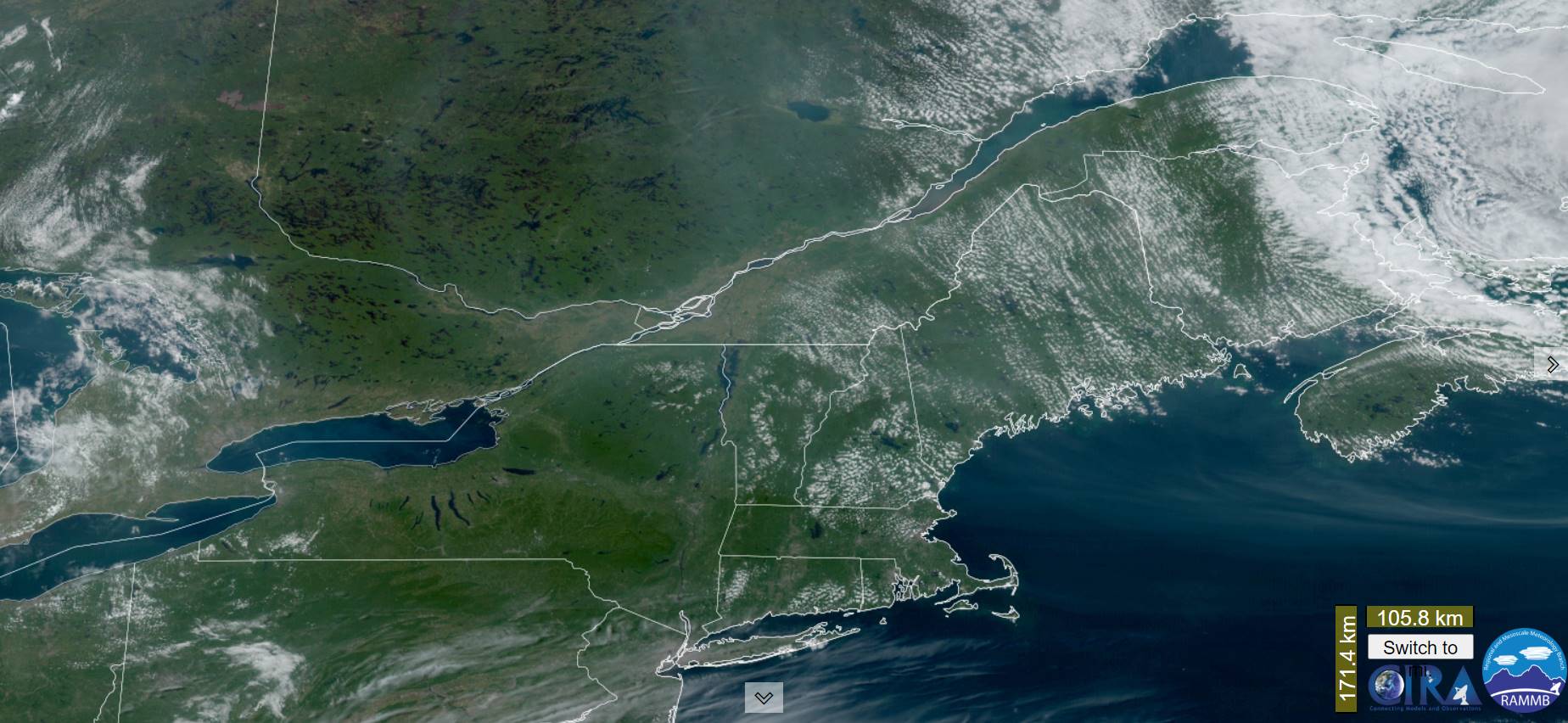
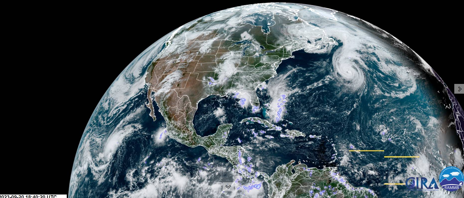
New Sub-tropical Low forms off Florida northbound
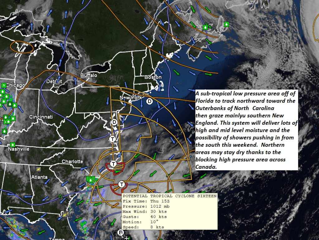
This weather system will creep northward affecting our weekend weather.
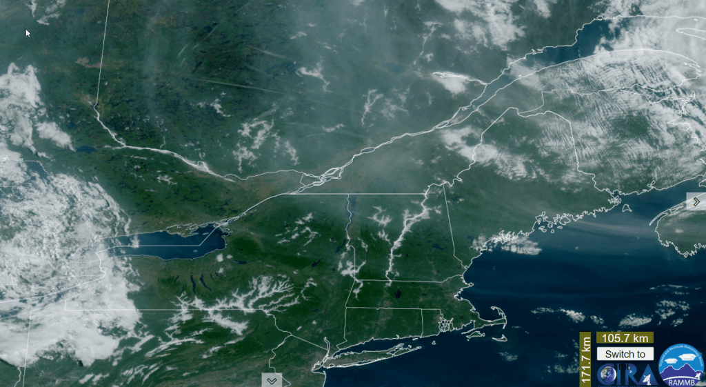
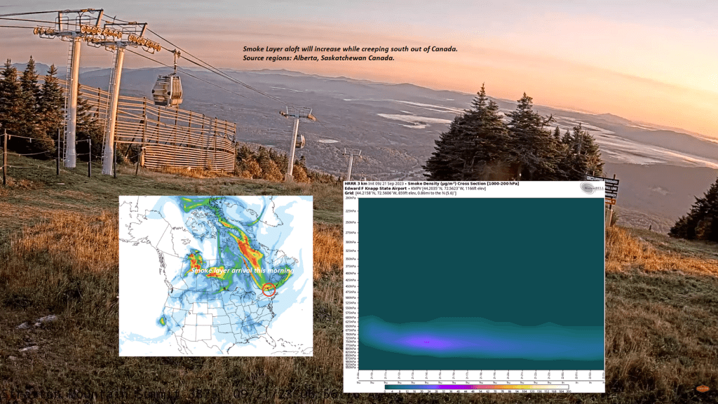
Smoke layer

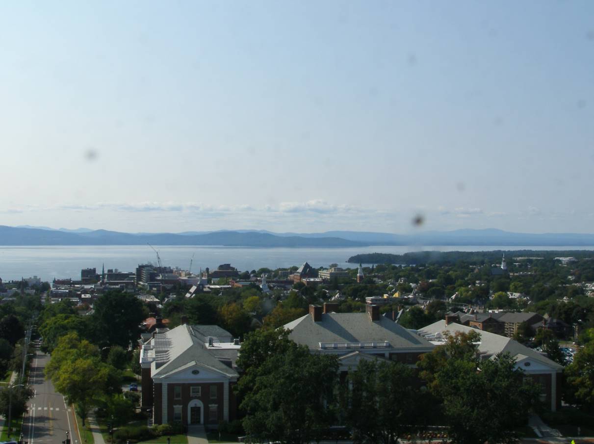
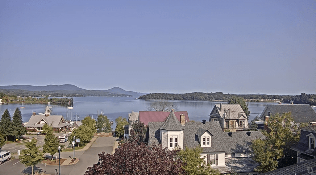
Slight smoke layer with this view northwest across the Champlain Valley, but not hazing things up too bad.
Updated Thursday Morning Forecast — September 21st, 2023
TODAY: Patchy valley fog then hazy sunshine. A high in the mid-60s. Light northwesterly winds.
TONIGHT: Mostly clear.A low near 45. Light east winds.
FRIDAY: Morning valley fog, then mostly sunny with high cloudiness developing later in the afternoon. A high upper 60s to near 70. Light southeast breeze.
Looking further ahead
Autumnal Equinox 2:49 AM
FRIDAY NIGHT: Mostly clear with periods of high cloudiness. A low in the mid to upper 40s.
SATURDAY: High cloudiness thickening up in the afternoon. Just a little cooler. Scattered showers or sprinkles southern Vermont. A high near 65.
SUNDAY: Mainly cloudy. Chance for showers Barre-Montpelier area and south. A low 45 to 50. A high in the upper 60s.
MONDAY: Clouds mixing with more sun. Any early showers exit southern areas. A low in the mid-40s. A high near 65.
TUESDAY: Sunshine with a few afternoon clouds. A low around 45. A high near 65.
WEDNESDAY: Partly to mostly sunny. A low upper 30s to around 40. A high 60 to 65.
Average lows in the low to mid 40s. Average highs mid to upper 60s.
RH/9-21 forecast][end]
Updated Wednesday Evening Forecast — September 20th, 2023
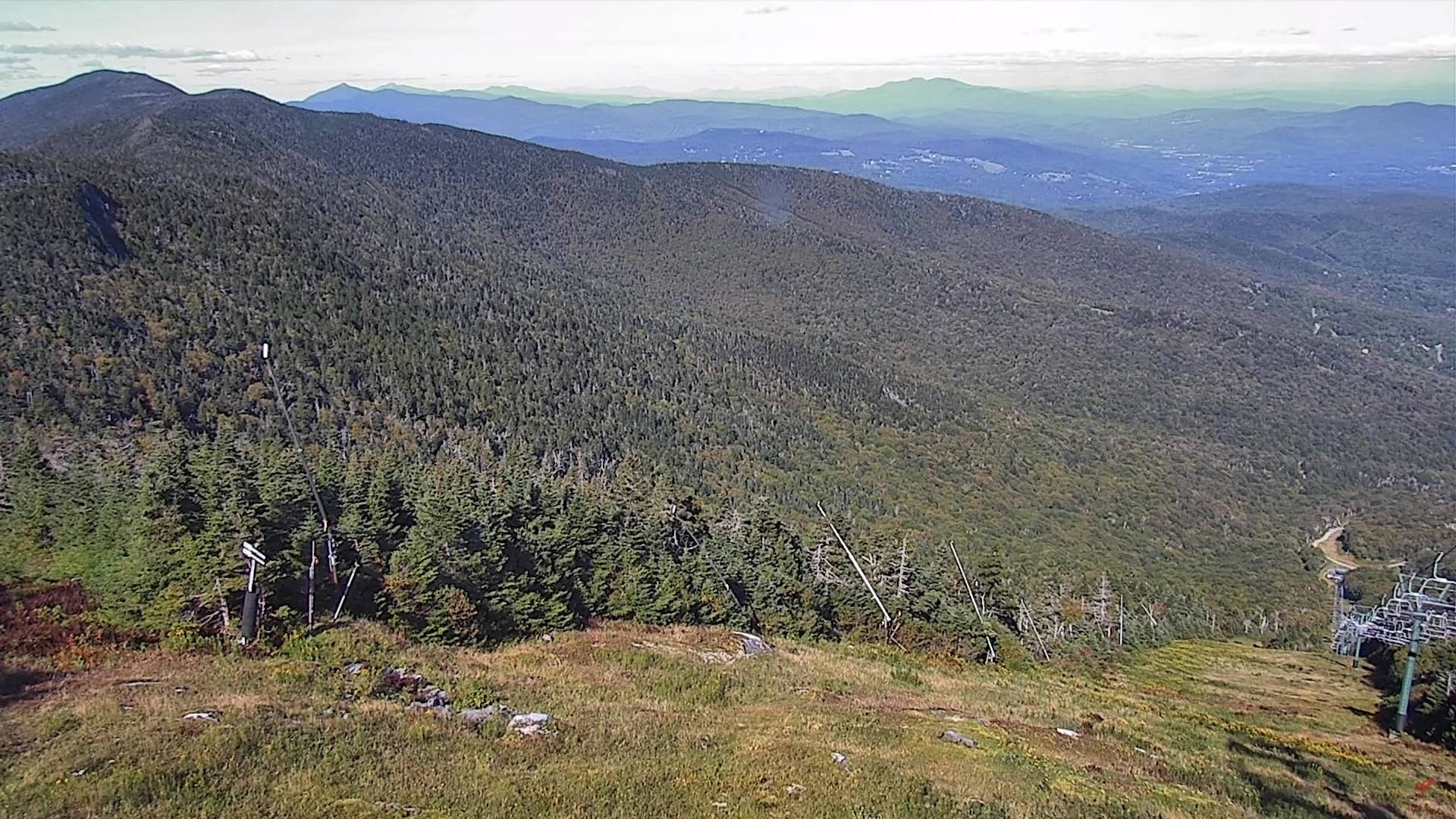
TONIGHT: Mostly clear. Patchy valley fog. A low in the low to mid 40s. Light northwest winds.
TOMORROW: Patchy valley fog then mostly sunny. A high in the mid-60s. Light northwesterly winds.
THURSDAY NIGHT: Mostly clear.A low near 45. Light east winds.
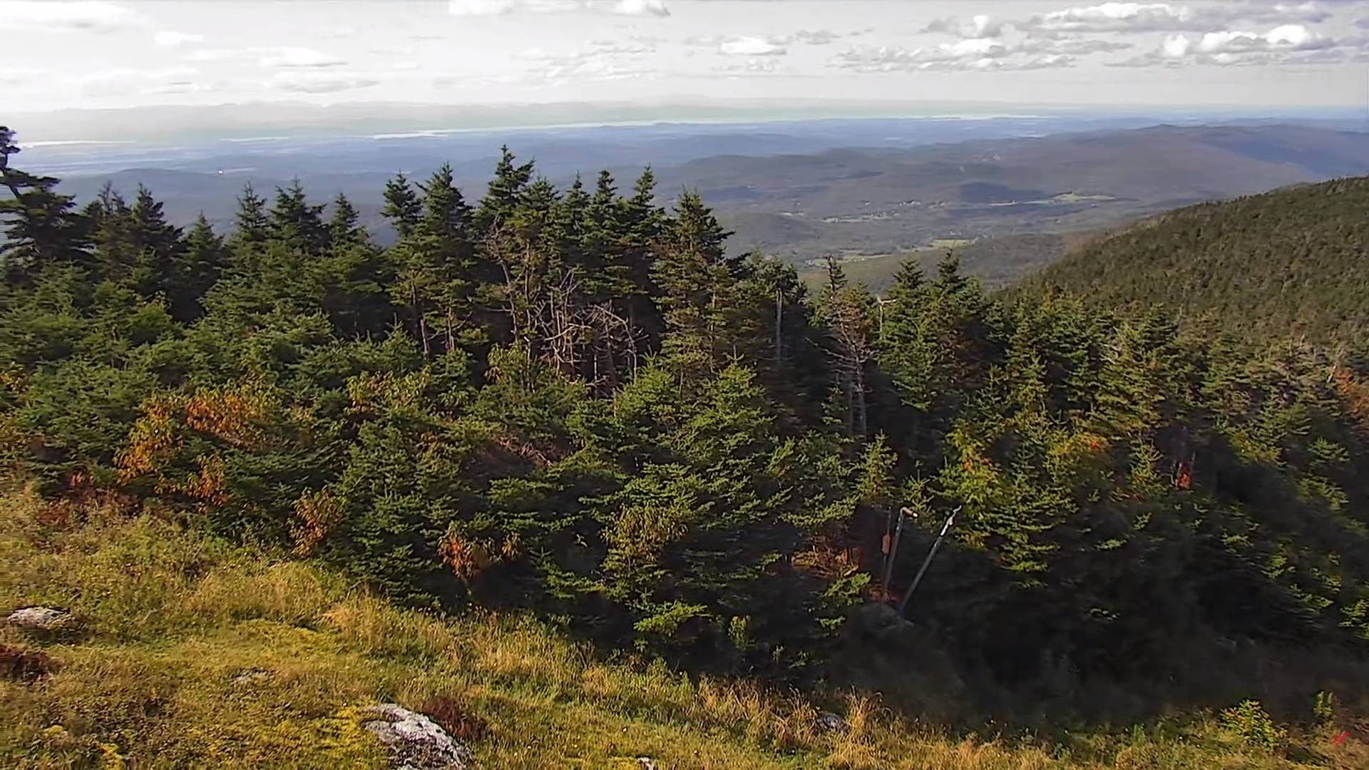
FRIDAY: Morning valley fog, then mostly sunny. A high around 70. Light southeast breeze.
Looking further ahead
Autumnal Equinox 2:49 AM
FRIDAY NIGHT: Mostly clear with a few clouds overnight. A low in the mid to upper 40s.
SATURDAY: Sunshine becoming filtered thru high cloudiness. A high in the upper 60s.
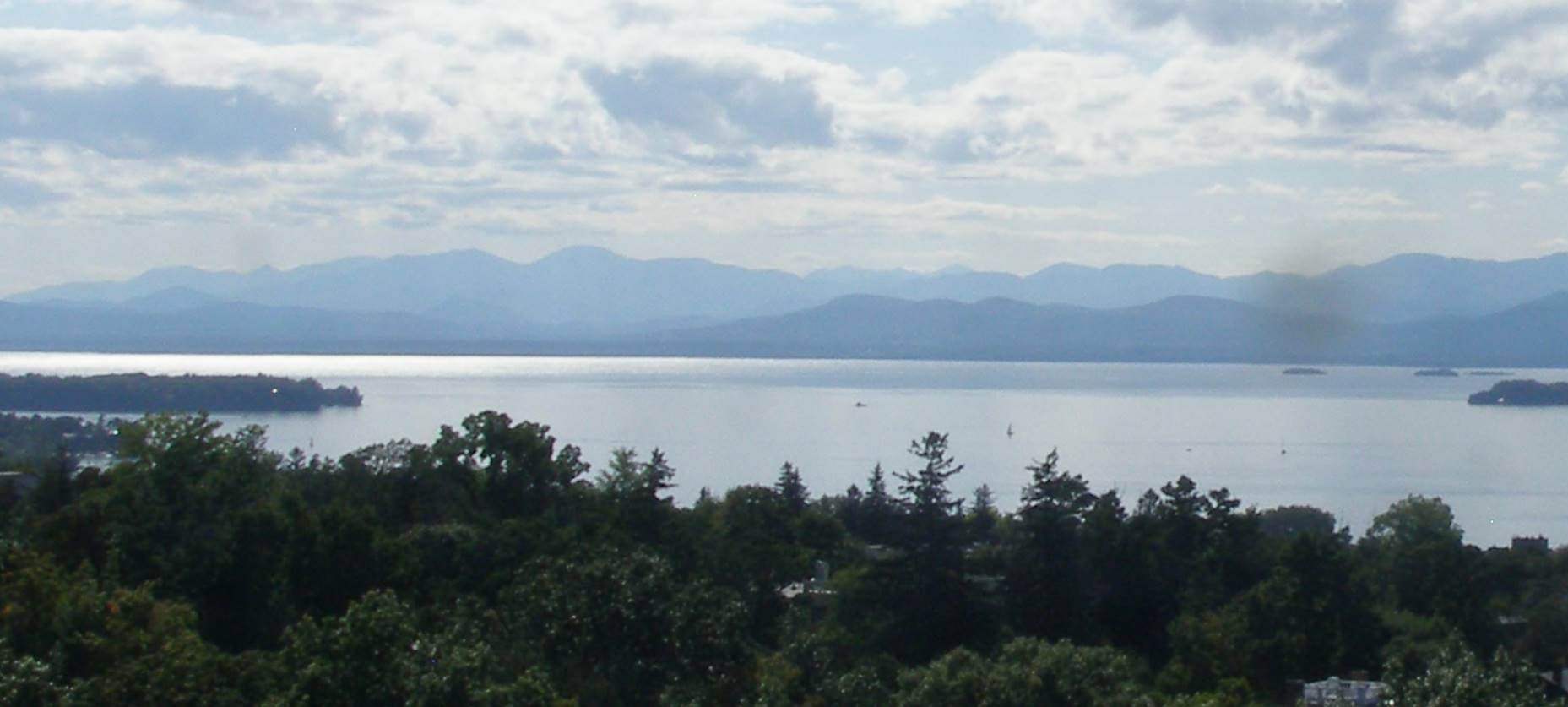
SUNDAY: Mixed sun and clouds. A few late day showers far northern areas possible. A low mid-40s to low 50. A high in the lower 70s.
MONDAY: Partly to mostly sunny. A low in the mid-40s. A high around 65.
TUESDAY: Sunshine then afternoon clouds. A low in the mid-40s. A high around 65.
Average lows in the low to mid 40s. Average highs mid to upper 60s.
RH/9-20 forecast][end]
Updated Wednesday Morning Forecast — September 20th, 2023

TODAY: Some morning clouds northern areas with isolated patches of valley fog. Otherwise partly to mostly sunny. A high about 65. Northwest breeze 10 mph.
TONIGHT: Mostly clear. Patchy valley fog. A low in the lower 40s. Light northwest winds.
THURSDAY: Patchy valley fog then mostly sunny. A high in the mid-60s. Light northwesterly winds.

Looking further ahead
THURSDAY NIGHT: Mostly clear.A low near 45.
FRIDAY: Morning valley fog, then sunny. A high around 70.
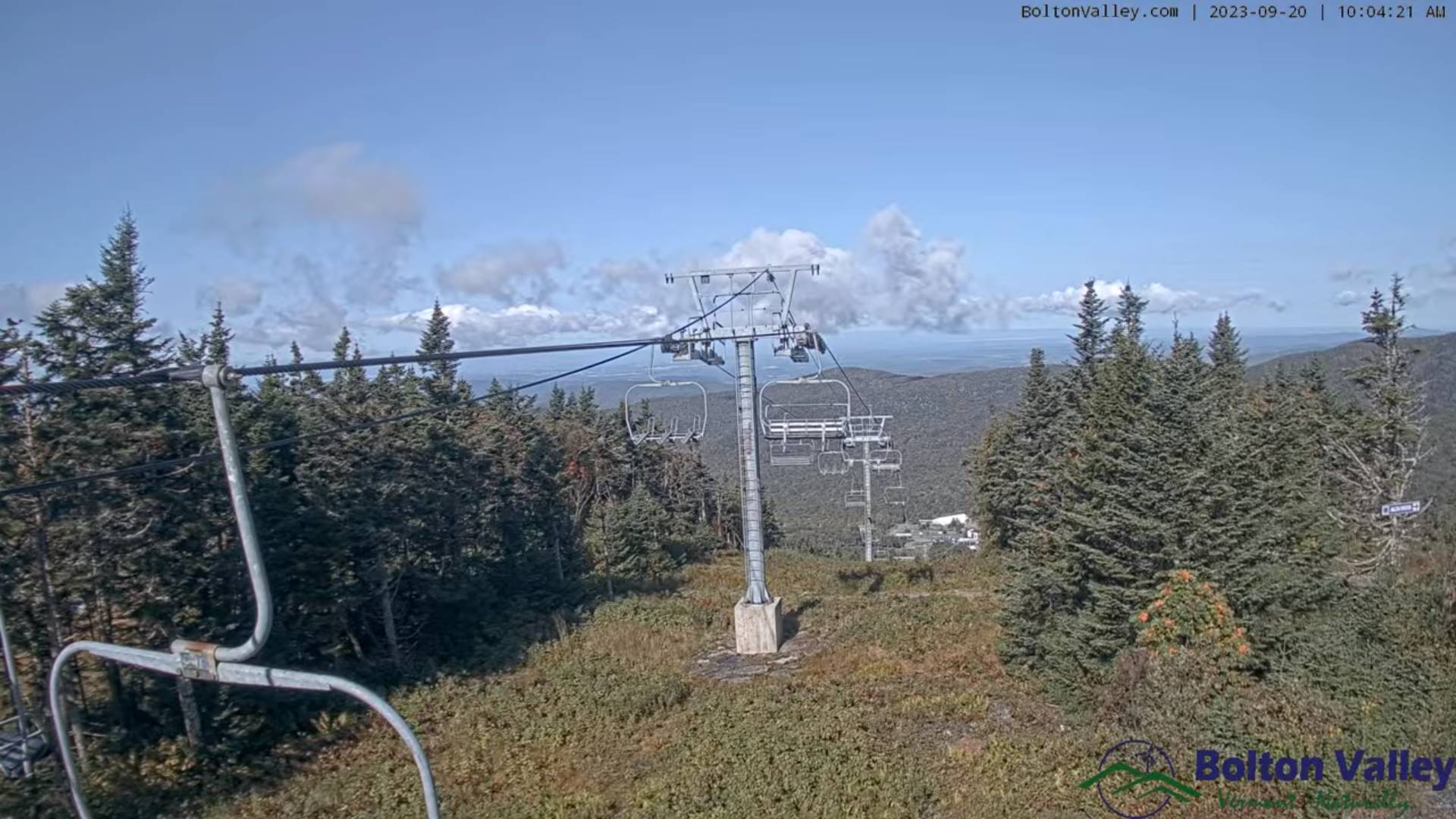
Autumnal Equinox 2:49 AM Saturday
SATURDAY: Sunshine becoming filtered thru high cloudiness. A low upper 40s. A high upper 60s.
SUNDAY: Mixed sun and clouds. A few late day showers far northern areas possible. A low upper 40s to around 50. A high near 70.

MONDAY: Partly to mostly sunny. A low 45 to 50. A high low to mid 60s.
TUESDAY: Sunshine then afternoon clouds. A low in the 40s. A high around 65.
Average lows in the low to mid 40s. Average highs mid to upper 60s.
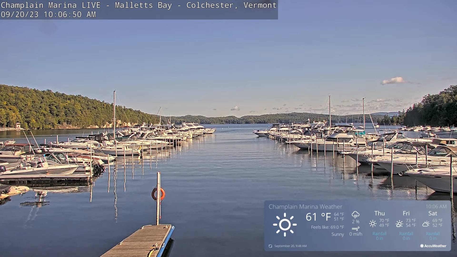
RH/9-20 forecast][end]
Updated Tuesday Night Weather — September 19th, 2023
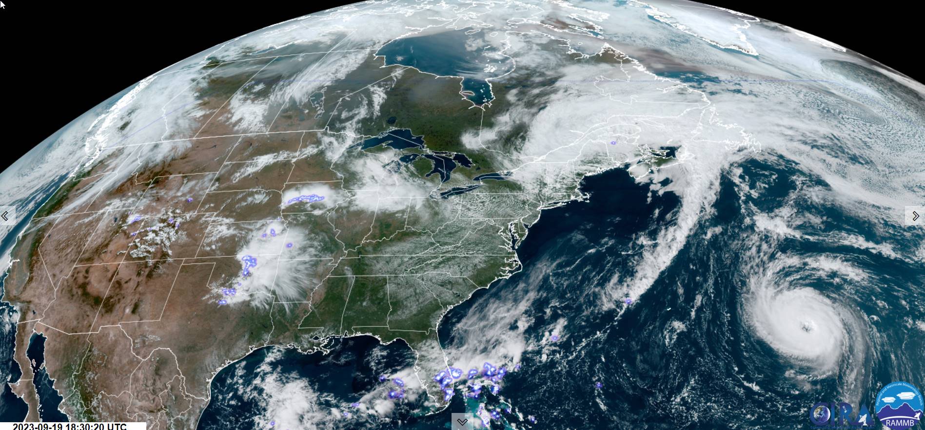
TONIGHT: Isolated leftover showers dry up early, otherwise clearing. A low mid to upper 40s. Light west winds.
TOMORROW: Some morning low clouds and valley fog burns off to partly to mostly sunny skies. A high near 65. Northwest breeze 10 mph.
WEDNESDAY NIGHT: Mostly clear. Patchy valley fog. A low in the lower 40s. Light northwest winds.
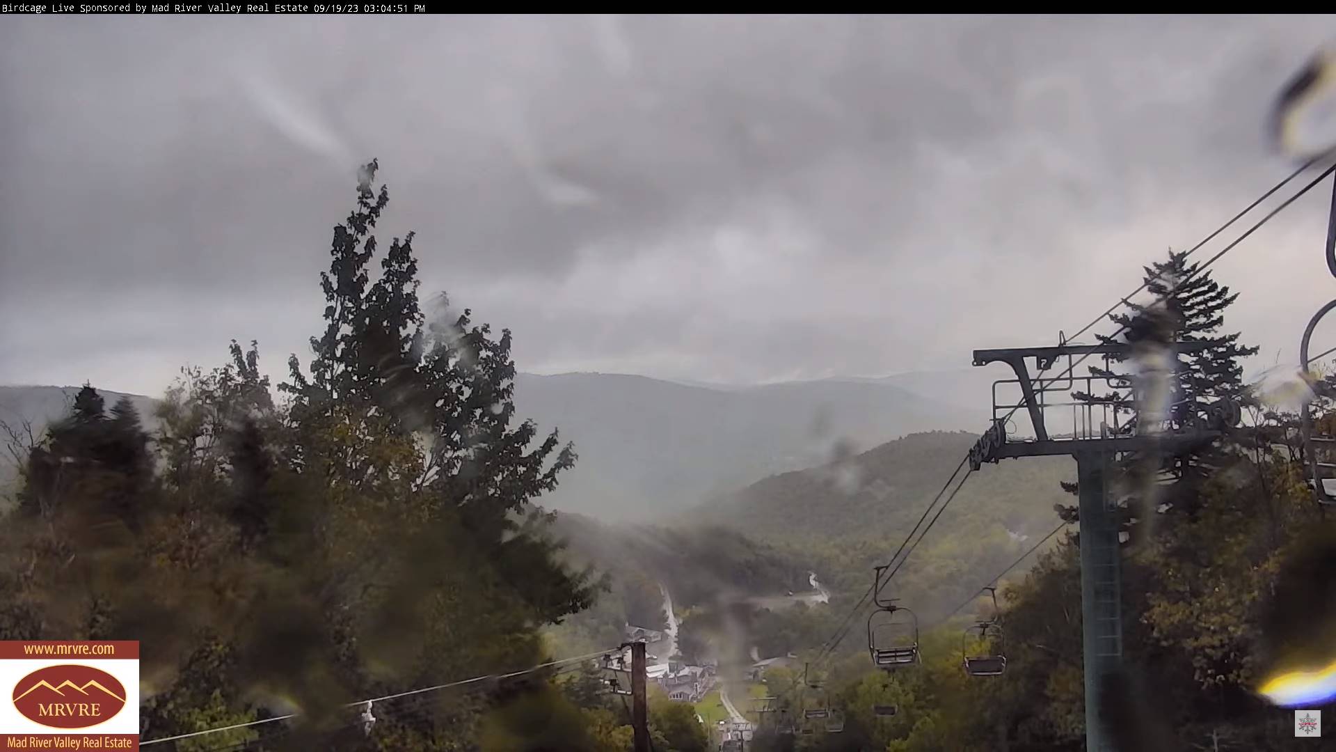
THURSDAY: Patchy valley fog then mostly sunny. A high in the mid-60s. Light northwesterly winds.
Looking further ahead
THURSDAY NIGHT: Mostly clear.A low near 45.
FRIDAY: Morning valley fog, then sunny. A high around 70.

Autumnal Equinox 2:49 AM Saturday
SATURDAY: Sunshine becoming filtered thru high cloudiness. A low upper 40s. A high around 70.
SUNDAY: Sunshine gives way to a few late day clouds with a slight chance for an evening shower north. A low mid to upper 40s. A high near 70.
MONDAY: Intervals of sun with lots of clouds. A low 50 to 55. A high mid-60s.
Average lows in the low to mid 40s. Average highs mid to upper 60s.
RH/9-19 forecast][end]
Updated Tuesday Morning Forecast — September 19th, 2023
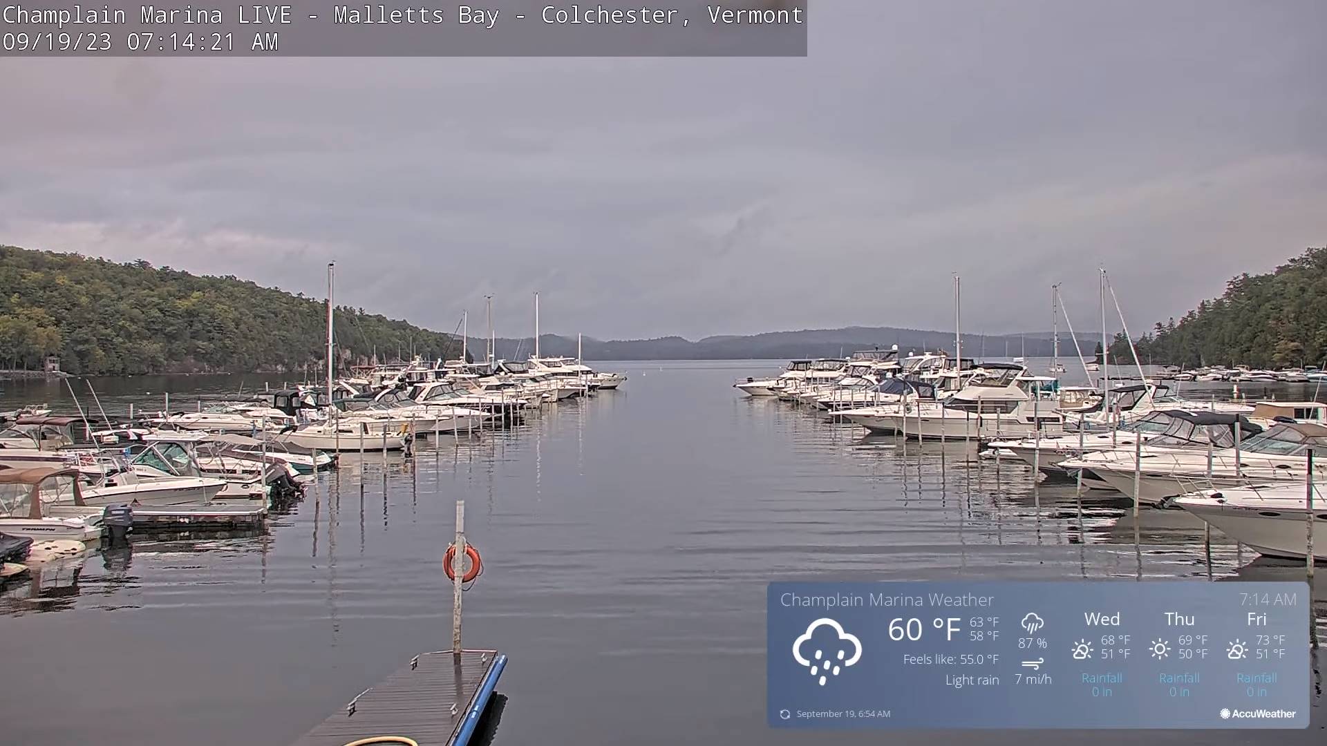
TODAY: Lots of clouds. Lingering mostly light rain showers. Intervals of sunshine south of the Barre-Montpelier area with a few isolated light mountain showers. A high about 60. Northwest breeze 10 to 20 mph.
TONIGHT: Isolated leftover showers dry up early, otherwise clearing. A low mid to upper 40s. Light west winds.
WEDNESDAY: Some morning low clouds and valley fog burns off to partly to mostly sunny skies. A high near 65. Northwest breeze 10 mph.

Looking further ahead
WEDNESDAY NIGHT: Mostly clear. Patchy valley fog. A low 40 to 45.
THURSDAY: Patchy valley fog then mostly sunny. A high in the mid to upper 60s.

FRIDAY: Valley fog, then mostly sunny with a few more afternoon clouds. A low near 45. A high in the lower 70s.
Autumnal Equinox 2:49 AM Saturday
SATURDAY: Sunshine becoming filtered thru high cloudiness. A low upper 40s. A high around 70.

SUNDAY: Hints of morning sun, then clouding up. Chance for a few showers. A low mid to upper 40s. A high near 70.
Average lows in the low to mid 40s. Average highs mid to upper 60s.

RH/9-19 forecast][end]
Updated Monday Evening Forecast — September 18th, 2023

TONIGHT: Cloudy with areas of fog. Periods of rain, moderate at times. A low in the mid-50s. Winds becoming north to northwesterly 10 mph.
TOMORROW: Lots of clouds north with lingering light rain showers. Partial sun southern areas with isolated mountain sprinkles. A high upper 50s to near 60. Northwest breeze 10 to 20 mph.

TUESDAY NIGHT: Isolated leftover showers dry up early, otherwise clearing. A low mid to upper 40s. Light west winds.
WEDNESDAY: Some morning low clouds and valley fog burns off to partly to mostly sunny skies. A high 60 to 65. Northwest breeze 10 mph.
Looking further ahead

WEDNESDAY NIGHT: Mostly clear. Patchy valley fog. A low 40 to 45.
THURSDAY: Patchy valley fog then mostly sunny. A high in the upper 60s.
FRIDAY: Valley fog, then mostly sunny with a few more afternoon clouds. A low near 45. A high around 70.

SATURDAY: Sunshine becoming filtered thru high cloudiness. A low upper 40s. A high 65 to 70.
SUNDAY: Partly to mostly sunny. A low in the low 50s. A high 65 to 70.
Average lows in the low to mid 40s. Average highs mid to upper 60s.

RH/9-18 forecast][end]

