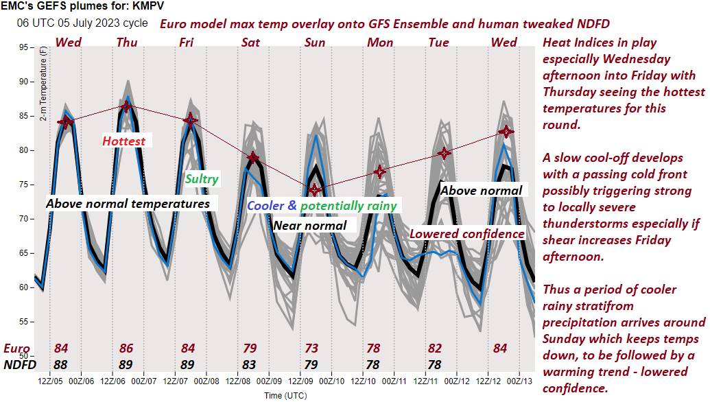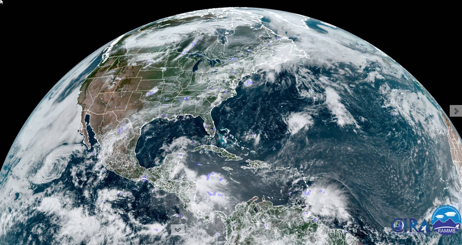
Heat advisories for the Champlain and lower Connecticut River valley thru early evening.
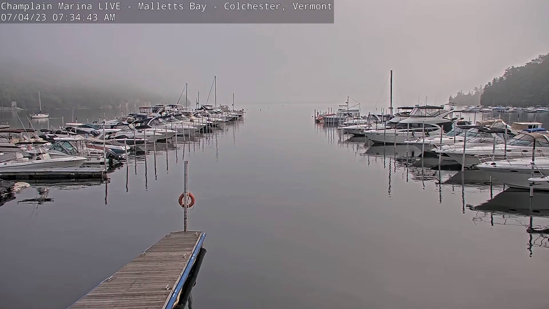
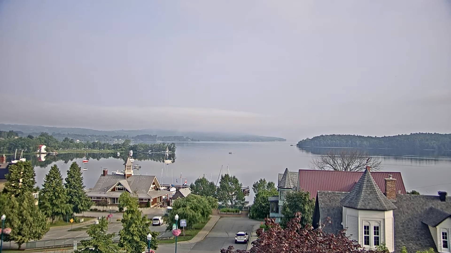
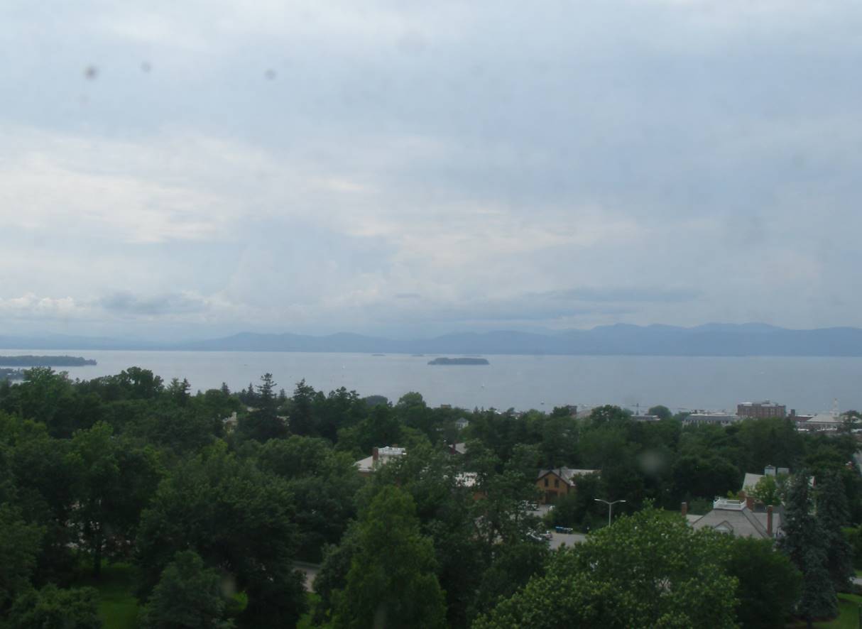
TONIGHT: Mostly clear with patchy valley fog. A few high clouds overnight. A low in the upper 60s to lower 70s warmest western areas. Light south winds.
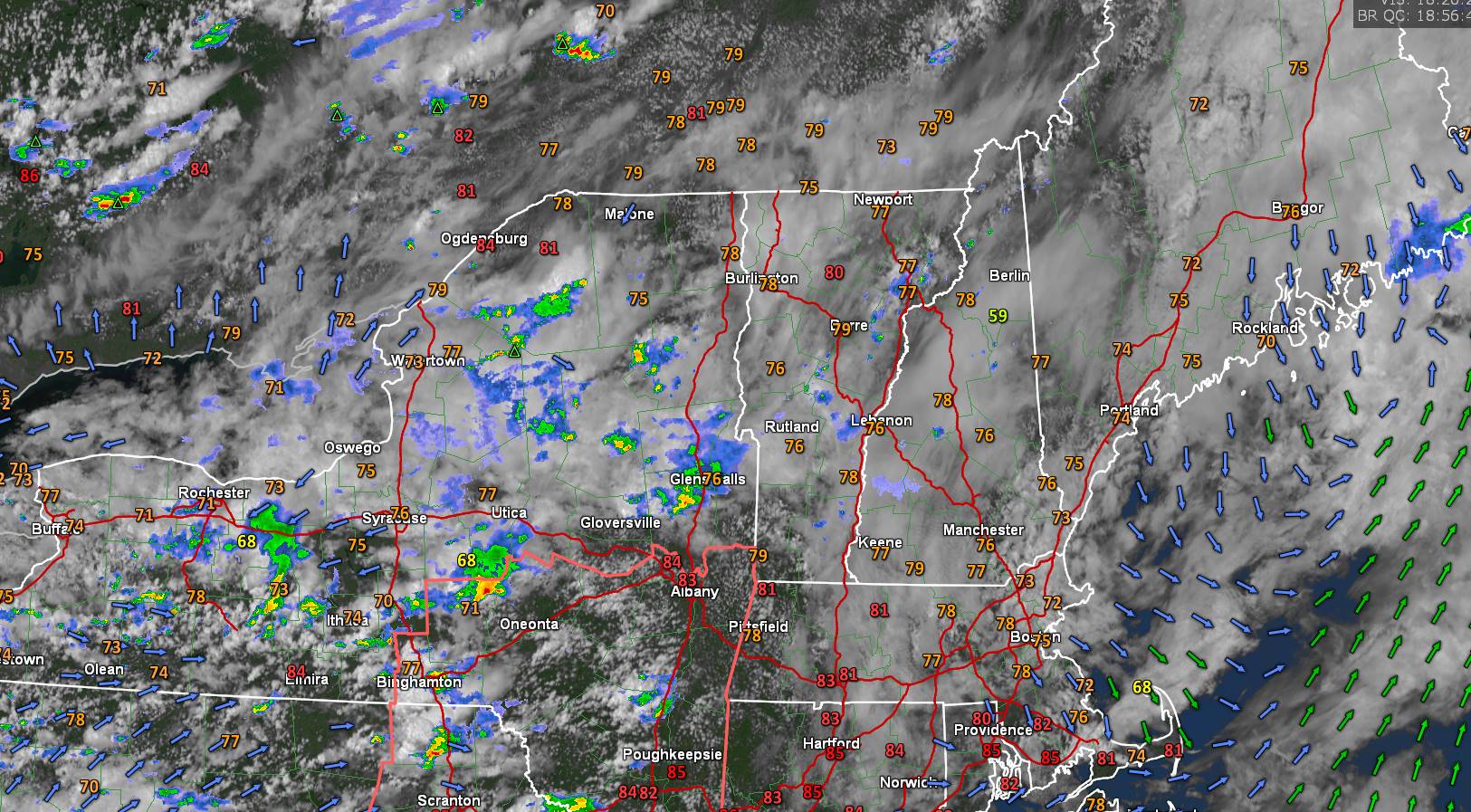
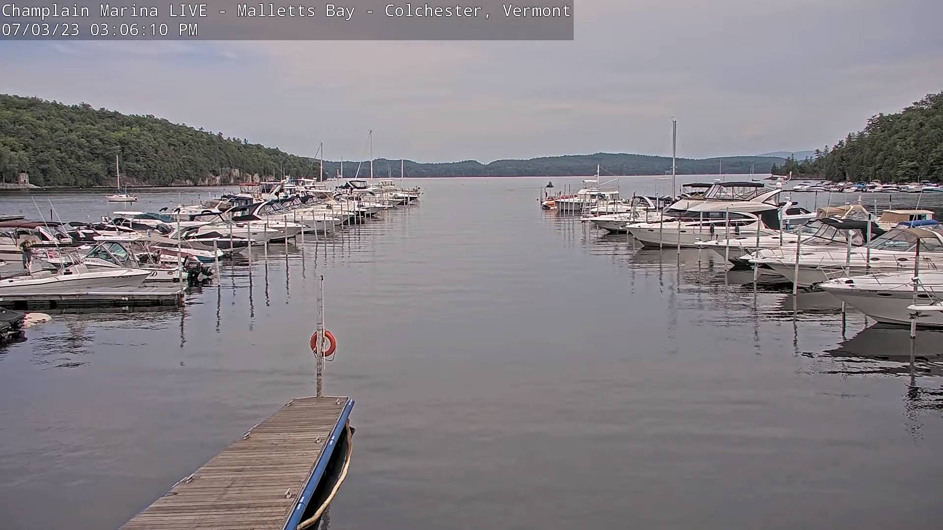
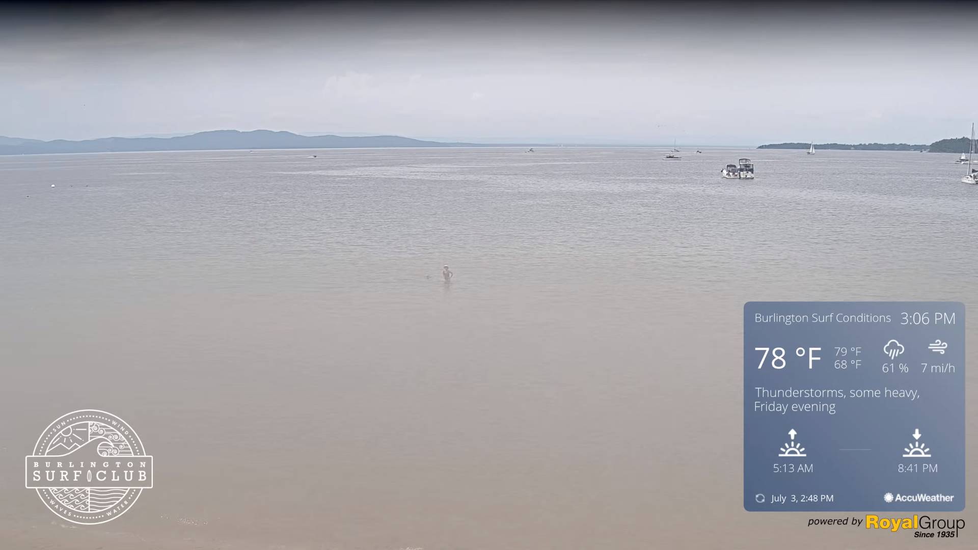
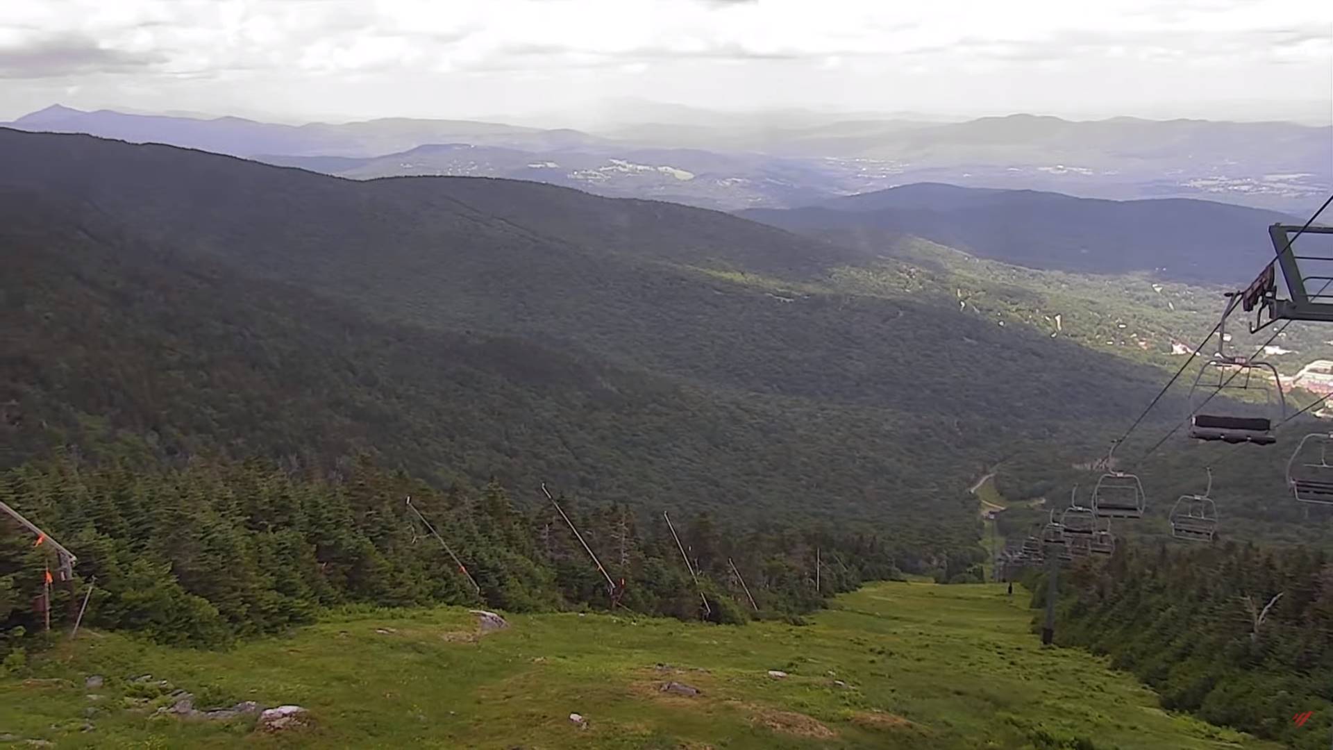
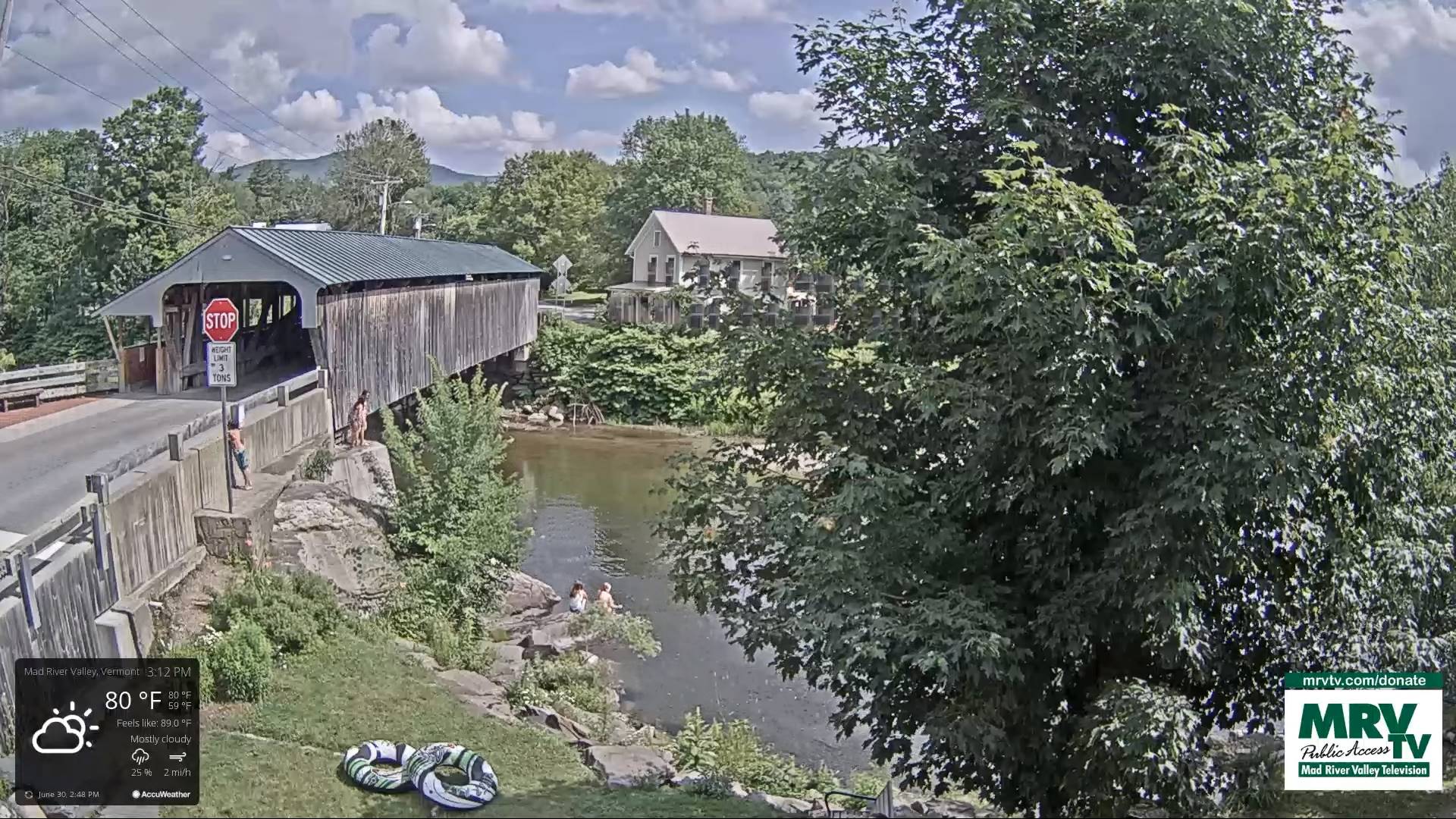
TOMORROW: Partial morning sun, then lots of clouds. A round or two of showers and thunderstorms was likely in the afternoon, some possibly strong & locally heavy. Sultry. A high 80 to 85. Light southwest winds.
FRIDAY NIGHT: A leftover shower or thunderstorm eastern areas, otherwise clearing promoting low clouds and fog overnight. A low mid-to upper 60s. Light winds.
SATURDAY: Variable cloudiness. Isolated afternoon pop-up showers & thunderstorms. A high 80 to 85. Little wind.
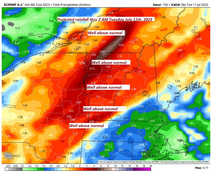
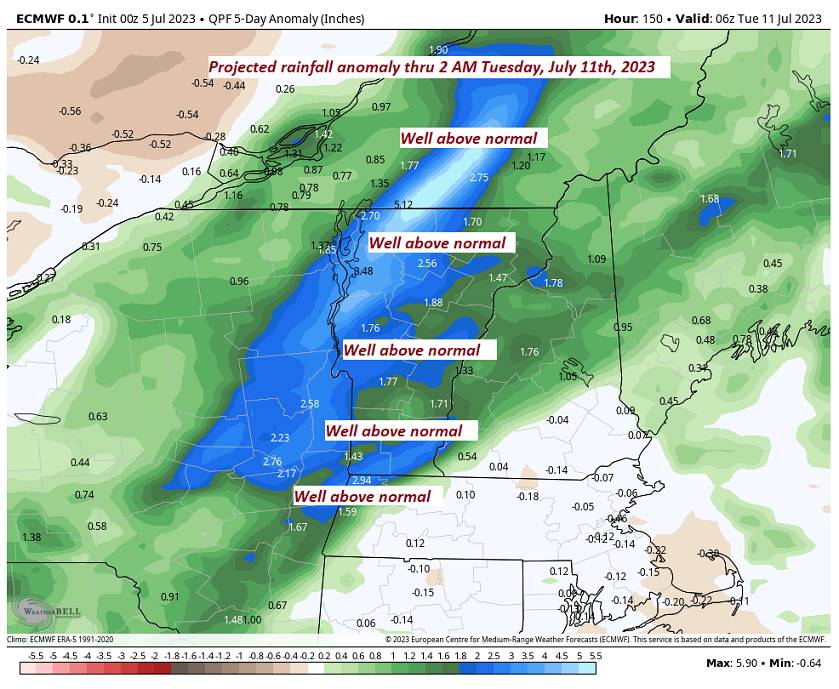
Looking further ahead
SATURDAY NIGHT: Clouding up. Isolated showers. A low in the low to mid-60s.
SUNDAY: Mainly cloudy. Rising chance for periods of rain or showers developing in the afternoon…moderate to heavy at times late with rumble of thunder. A high in the low to mid-70s.
MONDAY: Cloudswith a chance for morning showers give way to intervals of sunshine. A low in the low to mid-60s. A high mid to upper 70s.
TUESDAY: Clouds giving way to sunshine.
Average lows 55 to 60. Average high upper 70s around 80.
Summer temps peak July 22nd
RH/7-6 forecast][end]