Updated Thursday Morning Forecast — June 29th, 2023

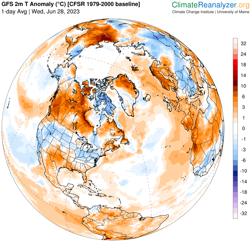
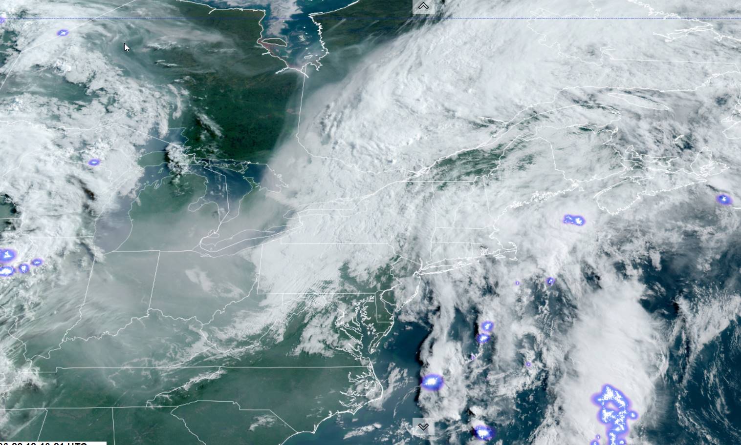
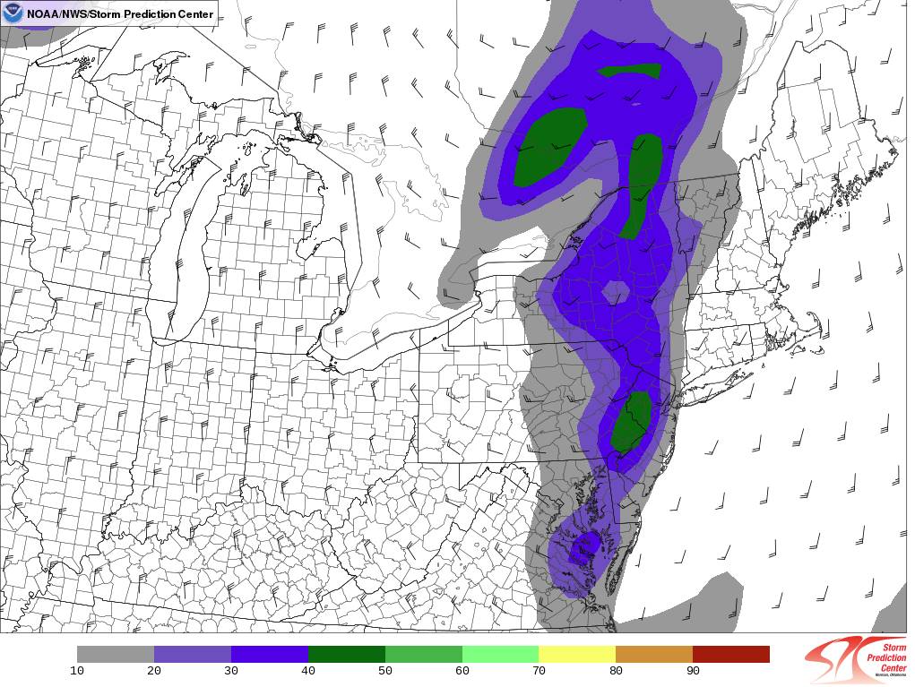
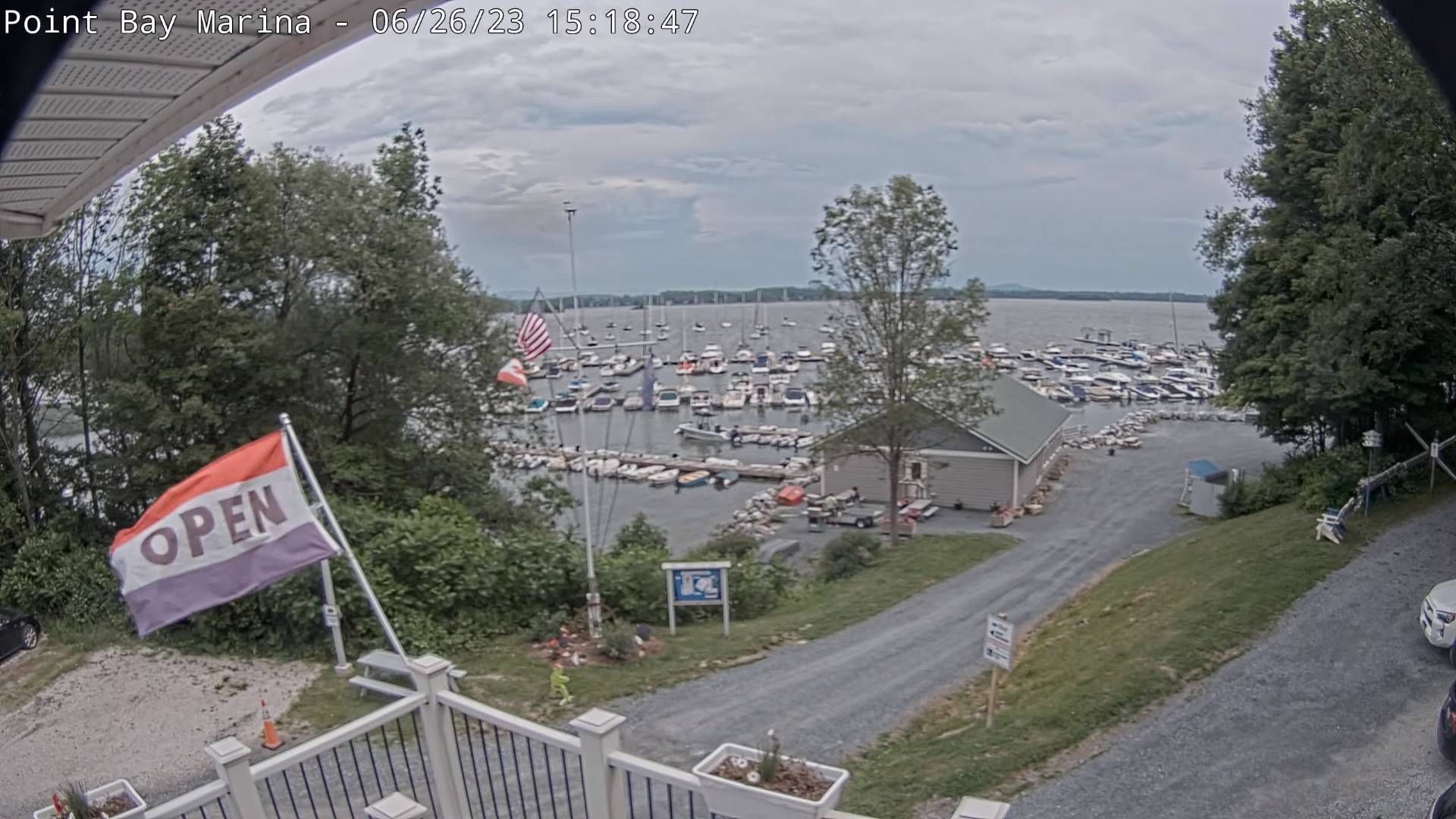
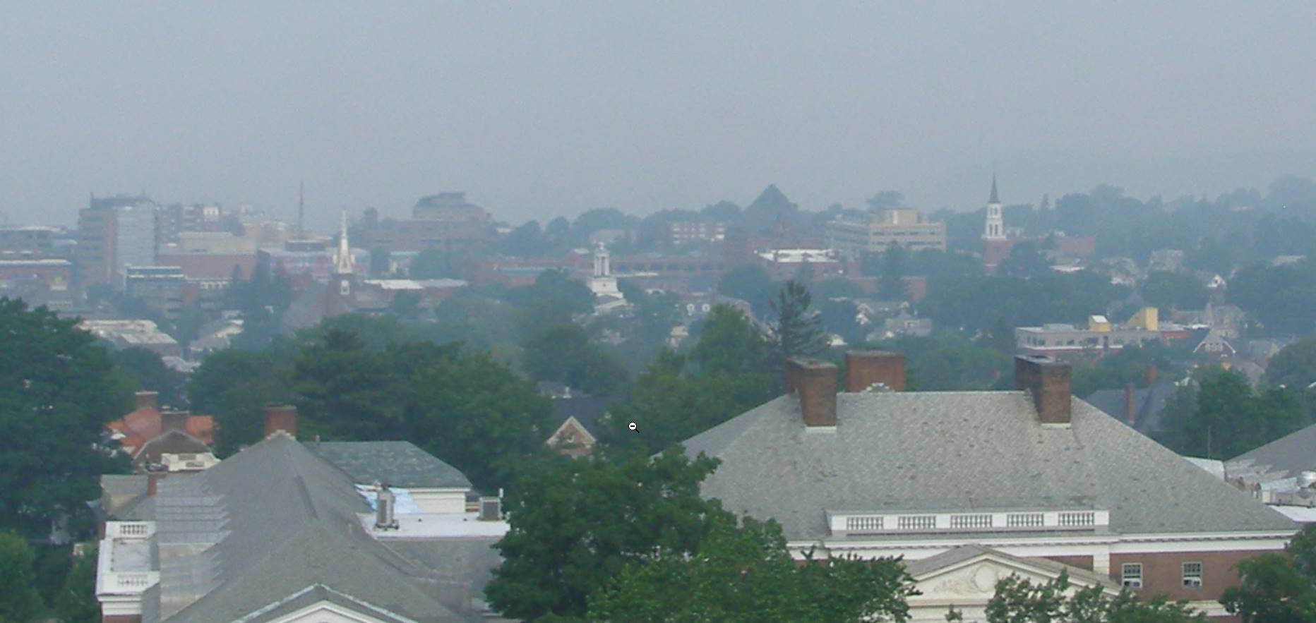
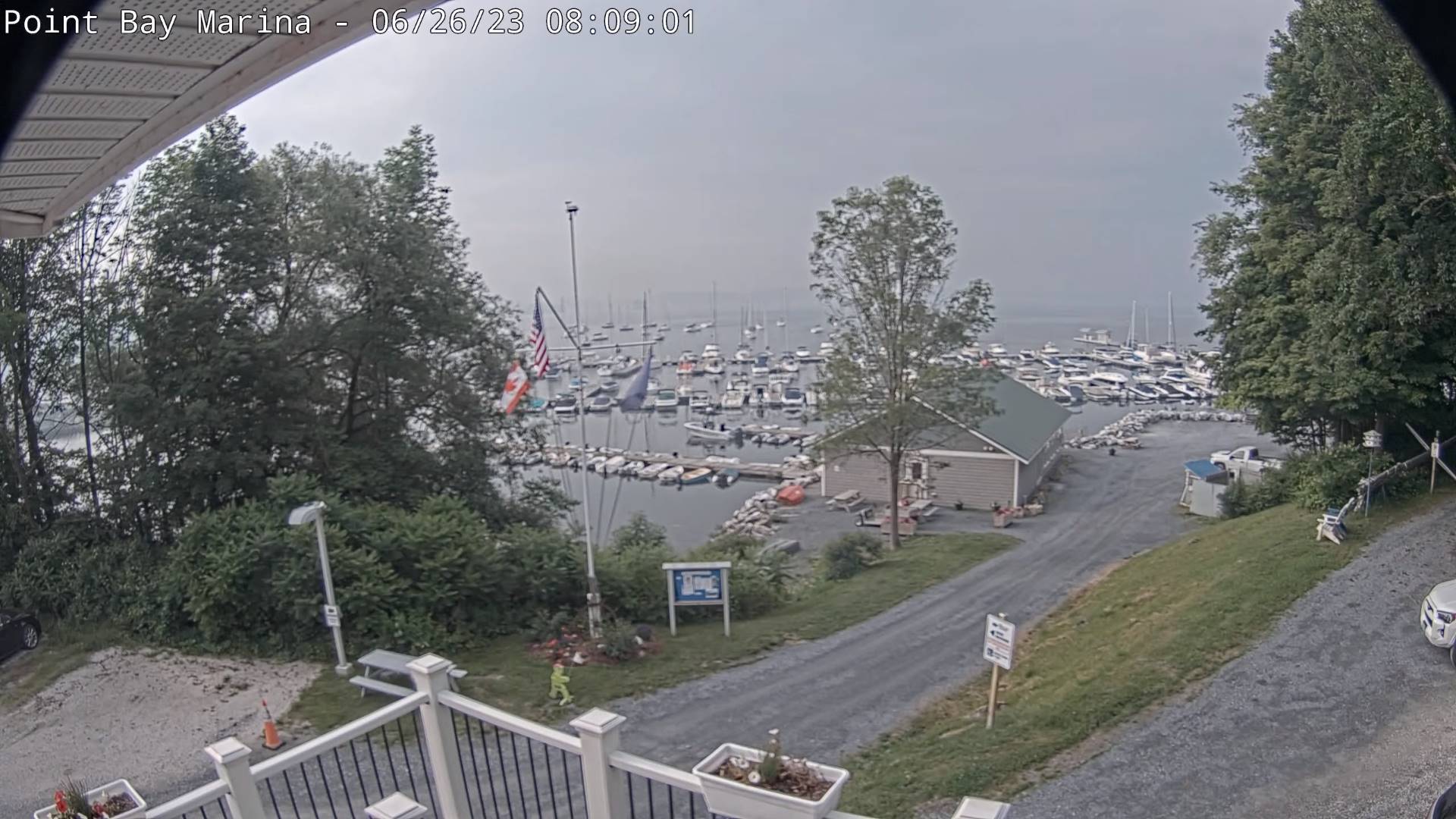
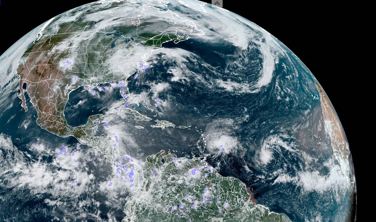
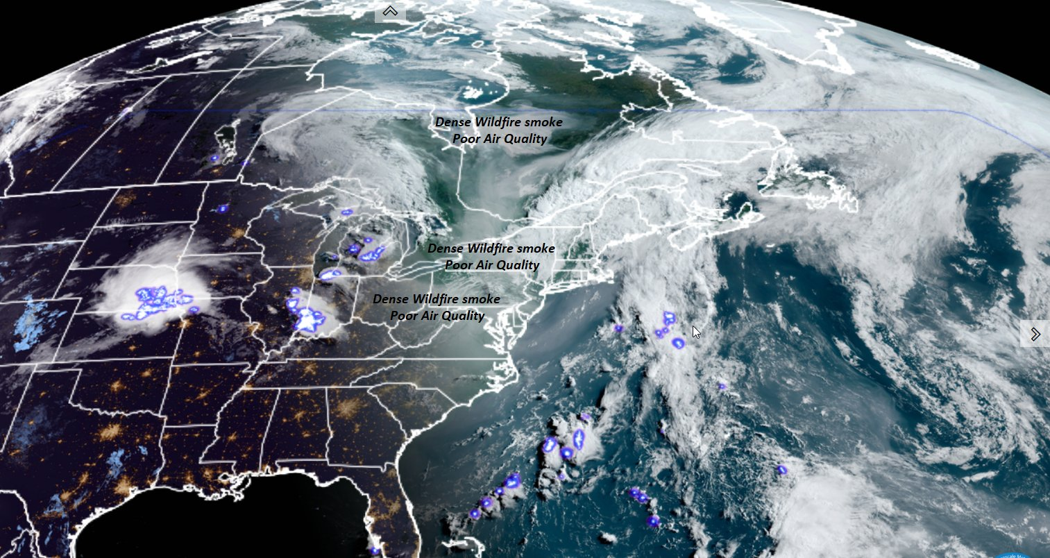
Air Quality Alert 10 AM thru Midnight tonight.

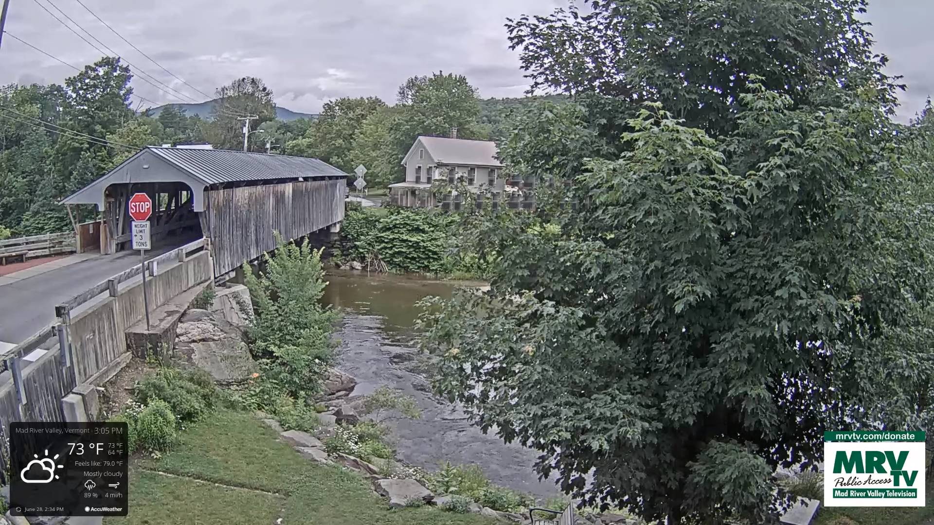
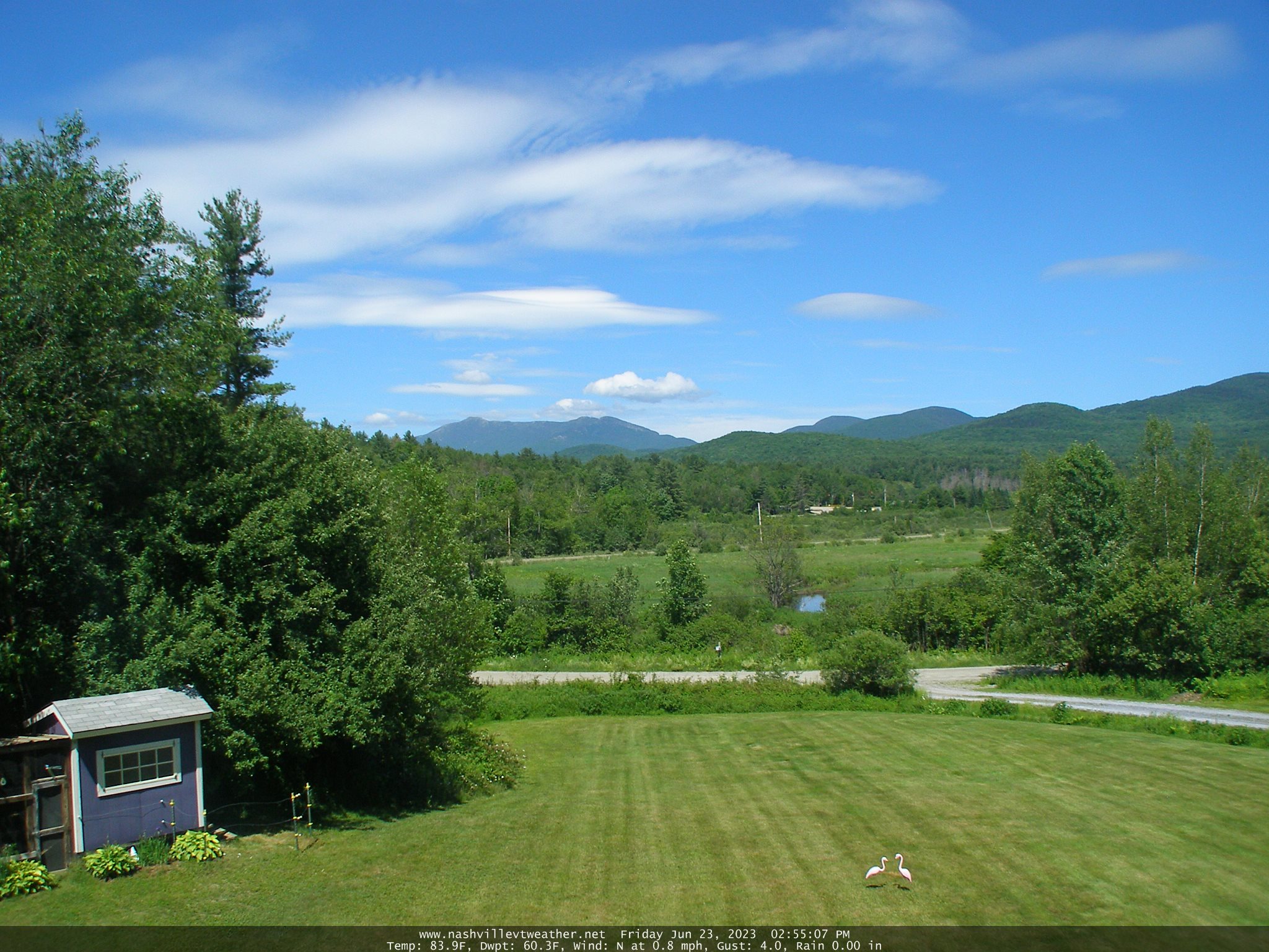
TODAY: Valley fog burns off to hazy partial sunshine. Isolated showers with a risk for a few late afternoon rumbles eastern areas. Not as muggy. A high 70 to 75. Light west breeze.

TONIGHT: Clear in the evening then partly cloudy. Less humid. A low mid to upper 50s. Light northwest winds.

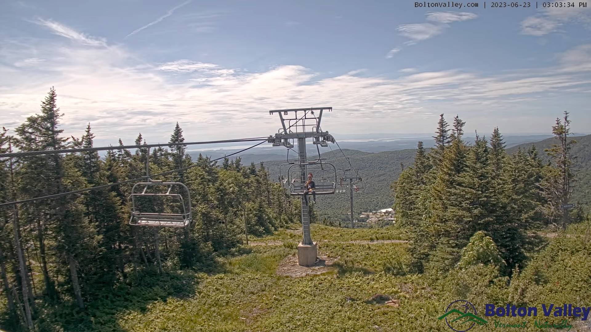
FRIDAY: Pick of the week. Partly to mostly sunny with a few more afternoon clouds, maybe a mountain sprinkle. A high in the low 80s. Light south winds.

Looking further ahead

FRIDAY NIGHT: Variable high cloudiness. A low 60 to 65.

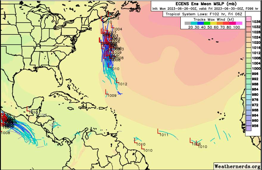
SATURDAY: Partly sunny. Scattered showers and a few thunderstorms, one or two possibly strong in the evening northern western areas. A high upper 70s to around 80.

SUNDAY: Mostly cloudy. A few hit and miss showers & afternoon thunderstorms. A low 60 to 65. A high upper 70s to around 80.

MONDAY: Hit and miss showers & isolated thunder. Otherwise, partial sunshine. A low 60 to 65. A high in the mid-70s.

TUESDAY the Fourth of July: Clouds and mixed sun. Widely scattered hit and miss showers and afternoon thunder. A little muggier. A low around 65. A high 75 to 80.

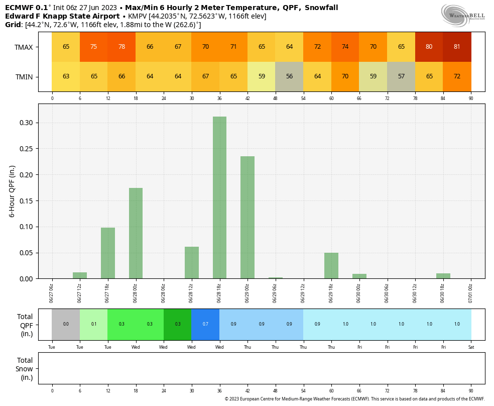
Average lows upper 50s to around 60. Average 75 to around 80.

Summer temps peak July 22nd

RH/6-27 forecast][end]

Updated Wednesday Evening Forecast — June 28th, 2023

TONIGHT: Partly to mostly cloudy. Isolated showers maybe a thunderstorm, some locally heavy. Patchy valley fog. A low in the upper 50s around 60. Light west to southwest winds.

TOMORROW: Partly sunny. Widely scattered showers and isolated afternoon thunderstorms. A high near 75. Light west breeze.

THURSDAY NIGHT: Clear in the evening then partly cloudy. A low upper 50s. Light northwest winds.

FRIDAY: Pick of the week. Partly to mostly sunny with a few more clouds late. Maybe a mountain sprinkle. A high reaching the low 80s. Light south winds.

Looking further ahead

FRIDAY NIGHT: Variable high cloudiness. A low in the lower 60s.

SATURDAY: Sun and clouds. Scattered showers and afternoon thunderstorms. A high around 80.

SUNDAY: Mostly cloudy. Widely scattered showers and afternoon thunderstorms. A low 60 to 65. A high 70 to 75.

MONDAY: Chance for a few showers & isolated thunder. Otherwise, lots of clouds giving way to partial sunshine. A low in the low 60s. A high 70 to 75.

TUESDAY: Clouds and mixed sun. Widely scattered showers and afternoon thunderstorms. A low around 65. A high around 75.

Average lows mid to upper 50s. Average mid-70s to around 80.

Approximate Peak of summer July 22nd

RH/6-27 forecast][end]

Updated Wednesday Morning Forecast — June 28th, 2023

TODAY: Clouds with breaks or intervals of sun. Isolated showers possible this morning…more numerous this afternoon with isolated thunderstorms especially eastern areas. A high near 75. South breeze 10 mph.

TONIGHT: Partly to mostly cloudy. Isolated showers maybe a thunderstorm. Patchy valley fog. A low around 60. Light southeast winds.

THURSDAY: Partly sunny. Widely scattered afternoon & early evening showers and isolated thunderstorms. A high 70 to 75. Light south to southwest breeze.

Looking further ahead

THURSDAY NIGHT: Clear in the evening then partly cloudy. A low upper 50s to around 60.

FRIDAY: Pick of the week. Morning clouds then partly to mostly sunny. Just an isolated mountain shower threat. A high reaching to around 80.

SATURDAY: Clouds mixing with periods of sunshine. Chance for numerous showers and afternoon thunderstorms. A low around 60. A high 75 to 80.

SUNDAY: Mostly cloudy. Widely scattered showers and afternoon thunderstorms. A low 60 to 65. A high 70 to 75.

MONDAY: Chance for a few showers & isolated thunder. Otherwise, lots of clouds giving way to partial sunshine. A low near 60. A high 70 to 75.

TUESDAY: Clouds and mixed sun. Widely scattered showers and afternoon thunderstorms. A low around 65. A high around 75.

Average lows mid to upper 50s. Average mid-70s to around 80.

Approximate Peak of summer July 22nd

RH/6-27 forecast][end]

Updated Tuesday Night Weather — June 27th, 2023

Flood warning in effect for portion of the central Green Mountains Rutland County to Washington County…

TONIGHT: Mostly cloudy. Showers, some persistent and heavy, with rising stream and rivers…maybe a rumble of thunder. A low in the lower 60s. Light southeast winds.

TOMORROW: Mainly cloudy. Isolated showers then more numerous mid to late afternoon with a few rumbles of thunder. A high near 75. South breeze 10 mph.

WEDNESDAY NIGHT: Mostly cloudy. Isolated showers maybe a thunderstorm. A low around 60. Light southeast winds.

THURSDAY: Partly sunny. Widely scattered afternoon & early evening showers and thunderstorms. A high 70 to 75. Light south to southwest breeze.

Looking further ahead

THURSDAY NIGHT: Clear in the evening the scattered clouds later on. A low upper 50s to around 60.

FRIDAY: Pick of the week. Morning clouds then increasingly sunny. A high about 80.

SATURDAY: Mostly cloudy. Chance for numerous showers and afternoon thunderstorms. A low around 60. A high 75 to 80.

SUNDAY: Mostly cloudy. Widely scattered showers and afternoon thunderstorms. A low 60 to 65. A high 70 to 75.

MONDAY: Chance for showers. Otherwise, lots of clouds giving way to partial sunshine. A low near 60. A high 70

to 75.

Average lows mid to upper 50s. Average mid-70s to around 80.

Approximate Peak of summer July 22nd

RH/6-27 forecast][end]

Updated Tuesday Morning Forecast — June 27th, 2023

TODAY: Lots of clouds with a few breaks of sun. Scattered mainly afternoon showers and locally heavy thunderstorms. One or two possibly strong western areas. A high near 75. Southeast breeze 10 mph.

TONIGHT: Mostly cloudy. Widely scattered showers and isolated thunderstorms. A low 60 to 65. Light southeast winds.

WEDNESDAY: Mostly cloudy. Isolated showers more numerous mid to late afternoon with a few thunderstorms especially western areas. A high 70 to 75. South breeze 10 mph.

Looking further ahead

WEDNESDAY NIGHT: Mostly cloudy. Isolated showers maybe a thunderstorm. A low in the lower 60s.

THURSDAY: Mixed sun and clouds. Widely scattered afternoon & early evening showers and thunderstorms. A low 60 to 65. A high 70 to 75.

FRIDAY: Pick of the week. More sun than clouds. A low upper 50s to around 60. A high in the low 80s.

SATURDAY: Mostly cloudy. Scattered showers and afternoon thunderstorms. A low around 60. A high 75 to 80.

Average lows mid to upper 50s. Average mid-70s to around 80.

Approximate Peak of summer July 22nd

RH/6-27 forecast][end]

Updated Monday Evening Forecast — June 26th, 2023

TONIGHT: Mostly cloudy. Widely scattered showers and isolated night time thunderstorms. A low around 65. Light southeast winds.

TOMORROW: Clouds with a few breaks of sun. Widely scattered showers and locally heavy afternoon thunderstorms. A high in the mid-70s. Southeast breeze 10 mph.

TUESDAY NIGHT: Mostly cloudy. Widely scattered showers and isolated thunderstorms winding down. A low 60 to 65. Light southeast winds.

WEDNESDAY: Mostly cloudy. Chance for showers and isolated afternoon thunderstorm mainly western areas. A high 70 to 75. South breeze 10 mph.

Looking further ahead

WEDNESDAY NIGHT: Mostly cloudy. Widely scattered showers and isolated night time thunderstorms. A low in the lower 60s.

THURSDAY: Mixed sun and clouds. Widely scattered afternoon & early evening showers and thunderstorms. A low 60 to 65. A high 70 to 75.

FRIDAY: Partly sunny. Scattered showers and & early evening showers and thunderstorms. A low near 60. A high

around 75.

SATURDAY: Mostly cloudy. Scattered showers and afternoon thunderstorms. A low around 60. A high in the mid-70s.

Average lows mid to upper 50s. Average mid-70s to around 80

Approximate Peak of summer July 22nd

RH/6-26 forecast][end]

Updated Monday morning forecast — June 26th, 2023

Air quality alert expires at 9 AM.

TODAY: Hazy with lots of clouds this morning and a few intervals of sun. Widely scattered showers and isolated thunderstorms this morning far northern areas. Scattered showers and thunderstorms some possibly strong & locally heavy developing mid to late afternoon. A high mid to upper 70s. Southeast breeze 10 mph.

TONIGHT: Mostly cloudy. Widely scattered showers and locally heavy thunderstorms early winding down. A low around 65. Light southeast winds.

TUESDAY: Clouds with a few breaks of sun. Widely scattered showers and locally heavy afternoon thunderstorms. A high mid-70s. Southeast breeze 10 mph.

Looking further ahead

TUESDAY NIGHT: Mostly cloudy. Widely scattered showers and isolated night time thunderstorms. A low in the lower 60s.

WEDNESDAY: Mostly cloudy. Chance for showers and afternoon rumbles of thunder. A high near 75.

THURSDAY: Partly sunny. Widely scattered afternoon early evening showers and thunderstorms. A low 60 to 65. A high mid to upper 70s.

FRIDAY: Partly to mostly cloudy. Scattered showers and isolated rumbles of thunder. A low 60 to 65. A high

around 75.

Average lows mid to upper 50s. Average mid-70s to around 80

Approximate Peak of summer July 22nd

RH/6-26 forecast][end]

Updated Friday Evening Forecast — June 23rd, 2023

TONIGHT: Partly cloudy this evening, then overcast. Rising chance for showers overnight. A low in the mid-60s. Light south to southeast winds.

TOMORROW: Clouds, with intervals of filtered sunshine. Humid. Numerous showers with a few rumbles of thunder…some locally heavy. A high 70 to 75. Light southeast winds.

SATURDAY NIGHT: Mostly cloudy. Scattered showers northern areas…maybe a rumble of thunder, otherwise mainly cloudy and muggy. Areas of valley fog. A low 60 to 65. Light southwest winds.

SUNDAY: Mixed clouds and sun. Scattered showers & afternoon thunderstorms…some with locally heavy downpours. A high mid to upper 70s. Light north winds.

Looking further ahead

SUNDAY NIGHT: Mostly cloudy. Chance for lingering showers. A low 60 to 65.

MONDAY: Clouds with a few intervals of sun. Scattered showers and afternoon thunderstorms. A high 75 to 80.

TUESDAY: Clouds with a few intervals of sun. Scattered showers and afternoon thunderstorms. A low around 65. A high mid 70s.

WEDNESDAY: Mostly cloudy. Chance for showers and afternoon thunderstorms. A low mid to upper 60s. A high 70 to 75.

Average lows mid to upper 50s. Average highs 75 to 80.

Approximate Peak of summer July 22nd

RH/6-23 forecast][end]

Updated Friday Morning Forecast — June 23rd, 2023

TODAY: Sunshine early, with clouds and sun this afternoon. Maybe a few sprinkles far southern areas late. A high in the lower 80s. Light south winds.

TONIGHT: Partly cloudy this evening, then overcast. Rising chance for showers overnight. A low in the mid-60s. Southeast winds 10 mph.

SATURDAY: Clouds, with intervals of filtered sunshine. Humid. Numerous showers with a few rumbles of thunder…some locally heavy. A high 70 to 75. Light southeast winds.

Looking further ahead

SATURDAY NIGHT: Mostly cloudy. Scattered showers northern areas, otherwise mainly cloudy and muggy. Areas of valley fog. A low around 65.

SUNDAY: Mixed clouds and sun. Scattered showers & afternoon thunderstorms…some with locally heavy downpours. A high 75 to 80.

MONDAY: Clouds with a few intervals of sun. Scattered showers and afternoon thunderstorms. A low 60 to 65. A high 75 to 80.

TUESDAY: Clouds with a few intervals of sun. Scattered showers and afternoon thunderstorms. A low around 65. A high 75 to 80.

WEDNESDAY: Mostly cloudy. Chance for showers and afternoon thunderstorms. A low mid to upper 60s. A high 70 to 75.

Average lows mid to upper 50s. Average highs 75 to 80.

Approximate Peak of summer July 22nd

RH/6-22 forecast][end]

Updated Thursday Evening Forecast — June 22nd 2023

TONIGHT: Clear this evening g then clouding up overnight. A few sprinkles far southern areas overnight. A low mid-50s to near 60 southern areas. Light southeasterly breeze

TOMORROW: Mainly cloudy and & increasingly humid. A rising chance for mainly afternoon showers central Vermont on south. A high in the upper 70s near 80. Light south winds.

FRIDAY NIGHT: Overcast and muggy. Scattered showers region wide. Areas of fog. A low in the mid-60s. Southeast winds 10 mph.

SATURDAY: Clouds, with a few breaks of sun. Humid. Rain or periods of showers with a chance for afternoon thunderstorms…some heavy. A high 70 to 75. Light southeast winds.

Looking further ahead

SATURDAY NIGHT: Mostly cloudy. Evening showers winding down becoming isolated overnight. Muggy with patchy valley fog. A low around 65.

SUNDAY: Considerable clouds with breaks of sun. Chance for showers & afternoon thunderstorms…some with locally heavy downpours. A high upper 70s to near 80.

MONDAY: Clouds with a few intervals of sun. Scattered showers and afternoon thunderstorms. A low 60 to 65. A high 75 to 80.

TUESDAY: Clouds with a few intervals of sun. Scattered showers and afternoon thunderstorms. A low around 65. A high in the mid-70s.

WEDNESDAY: Mostly cloudy. Chance for showers and afternoon thunderstorms. A low in the 60s. A high 70 to 75.

Average lows mid to upper 50s. Average highs 75 to 80.

Approximate Peak of summer July 22nd

RH/6-22 forecast][end]