Updated Wednesday Evening Forecast — June 14th, 2023

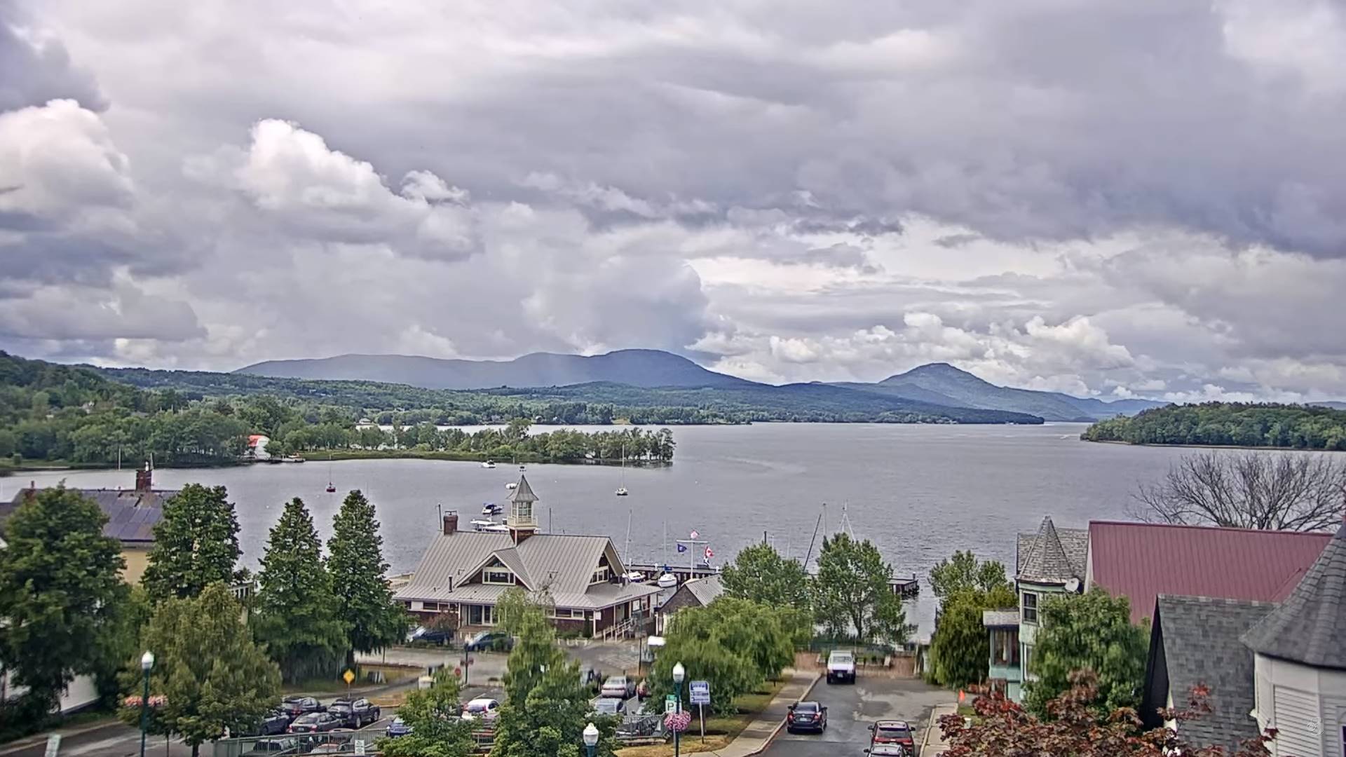
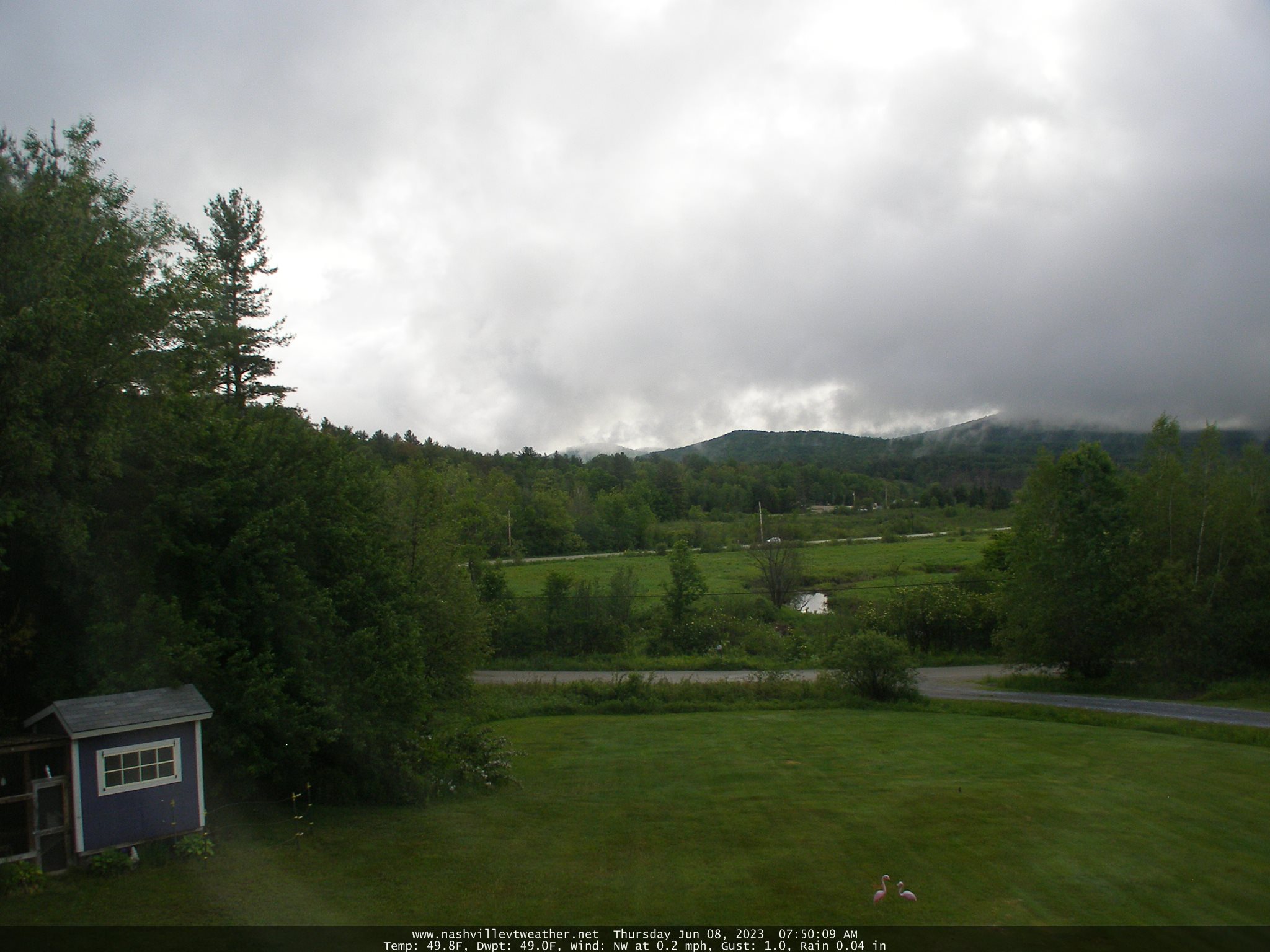
TONIGHT: Lots of clouds. Showers…moderate at times with a few rumbles of evening thunder. Patchy valley fog. A low in the low to mid 50s. Light variable wind.

TOMORROW: Partly to mostly sunny gives way to more afternoon clouds. Scattered afternoon showers & isolated thunderstorm northern areas. A high 70 to 75. Northwest breeze 10 mph.

THURSDAY NIGHT: Variable high cloudiness. Patchy valley fog. A low in the mid-50s. Light southwest winds.

FRIDAY: Intervals of sunshine then more clouds. Scattered afternoon showers and thunderstorms. A high about 75. Light winds.

Looking further ahead

FRIDAY NIGHT: Overcast. A few leftover evening showers. A low in the mid to upper 50s.

SATURDAY: Mostly cloudy. Chance for a shower or thunderstorm. A high in the upper 60s.

SUNDAY: Mainly cloudy. Chance for showers and possible thunderstorms. A low in the upper 50s. A high around 70.

MONDAY: Partly to mostly cloudy. Scattered afternoon showers and a few thunderstorms. A low 50 to 55. A high near 65.

Average lows low to mid 50s. Average highs mid-70s

Summer Solstice 10:57 AM June 21st Peak of summer July 22nd

RH/6-14 forecast][end]

Updated Wednesday Morning forecast — June 14th, 2023

TODAY: Morning fog, then intervals of sun followed by afternoon cloudiness. Showers developing mid to late afternoon, with widely scattered thunderstorms. A high 70 to 75. Light south breeze.

TONIGHT: Lots of clouds. Showery with an early evening rumble of thunder. Patchy valley fog. A low 50 to 55. Light variable wind.

THURSDAY: Intervals of sun gives way to afternoon clouds. Scattered afternoon showers & isolated thunderstorm northern areas. A high 70 to 75. West to northwest breeze 10 mph.

Looking further ahead

THURSDAY NIGHT: Variable high cloudiness. Patchy valley fog. A low in the low to mid 50s.

FRIDAY: Mainly gray. Scattered afternoon showers and thunderstorms. A high 70 to 75.

SATURDAY: Mostly cloudy. Chance for a shower or thunderstorm. A low in the mid-50s. A high in the mid-60s.

SUNDAY: Mainly cloudy. Chance for showers and possible thunderstorms. A low in the upper 50s. A high around 70.

MONDAY: Partly to mostly cloudy. Scattered afternoon showers and a few thunderstorms. A low 50 to 55. A high near 65.

Average lows low to mid 50s. Average highs mid-70s

Summer Solstice 10:57 AM June 21st Peak of summer July 22nd

RH/6-12 forecast][end]

Updated Tuesday Evening Forecast — June 13th, 2023

TONIGHT: Scattered evening showers dry up, then partial clearing. Widespread valley fog. A low in the low 50s. Little wind.

TOMORROW: Morning fog lifts to lots of clouds. Showers, with chance for a thunderstorm or two. A high 70 to 75. Light south breeze.

WEDNESDAY NIGHT: Lots of clouds. Showery with an early evening rumble of thunder. Patchy valley fog. A low 50 to 55. Light variable wind.

THURSDAY: Some intervals of sun gives way to afternoon clouds. Scattered showers & isolated thunderstorms. A high 70 to 75. West to northwest breeze 10 mph.

Looking further ahead

THURSDAY NIGHT: Variable high cloudiness. Patchy valley fog. A low near 55.

FRIDAY: Mainly gray. Scattered afternoon showers and perhaps a rumble of thunder. A high mid to upper 60s.

SATURDAY: Mostly cloudy. Chance for a shower or thunderstorm. A low around 55. A high mid to upper 60s.

SUNDAY: Mainly cloudy. Chance for showers and possible thunderstorms. A low in the 50s. A high around 70.

Average lows low to mid 50s. Average highs mid-70s

Summer Solstice 10:57 AM June 21st Peak of summer July 22nd

RH/6-12 forecast][end]

Updated Monday evening forecast — June 13th, 2023

TONIGHT: Fair this evening with high overcast thickening up overnight with a rising chance for showers southern areas by daybreak. A low 55 to 60. Light southeast winds.

TOMORROW: Cloudy with a period of showers…moderate at times. Maybe a rumble of thunder eastern areas. A high mid to upper 60s. Light southeast winds.

TUESDAY NIGHT: Scattered evening showers winding down, otherwise lots of clouds. A low 50 to 55. Light southwest winds.

WEDNESDAY: Mostly cloudy. Chance for showers, maybe an afternoon rumble of thunder. A in the mid-70s. Southeast breeze 10 mph.

Looking further ahead

WEDNESDAY NIGHT: Mostly cloudy in the evening clearing overnight. Patchy valley fog. A low 50 to 55.

THURSDAY: Some intervals of sun gives way to afternoon clouds. Scattered showers & isolated thunderstorms. A high in the low 70s.

FRIDAY: Mainly cloudy. Scattered afternoon showers and perhaps a rumble of thunder. A low 50 to 55. A high mid to upper 60s.

SATURDAY: Mostly cloudy. Chance for a shower or thunderstorm. A low around 55. A high upper 60s to around 70.

Average lows low to mid 50s. Average highs mid-70s

Summer Solstice 10:57 AM June 21st Peak of summer July 22nd

RH/6-12 forecast][end]

Updated Monday Morning Forecast — June 12th, 2023

TODAY: Mainly cloudy with and maybe a sprinkle or two this morning. Some hints of sun this afternoon. Warmer. A high around 80. Southeast breeze 10 mph.

TONIGHT: Fair this evening with high overcast thickening up overnight with a rising chance for showers southern areas overnight. A low upper 50s to around 60. Light southeast winds.

TUESDAY: Cloudy with showers likely some moderate with a risk for thunder especially Northeast Kingdom. A high 60 to 65. Light southeast winds.

Looking further ahead

TUESDAY NIGHT: Scattered evening showers winding down, otherwise lots of clouds. A low 50 to 55.

WEDNESDAY: Mostly cloudy. Chance for showers, maybe an afternoon rumble of thunder. A high low to mid 70s.

THURSDAY: Some intervals of sun gives way to lots of afternoon clouds. Scattered showers & thunderstorms possible. A low 50 to 55. A high in the low 70s.

FRIDAY: Partial morning sun, then mostly cloudy. Scattered afternoon showers and possible thunderstorms. A low 50 to 55. A high mid to upper 60s.

Average lows low to mid 50s. Average highs mid-70s

Summer Solstice 10:57 AM June 21st Peak of summer July 22nd

RH/6-12 forecast][end]

Updated Friday Evening Forecast — June 9th, 2023

TONIGHT: Early evening showers wind down, otherwise partly cloudy. Patchy valley fog. A low around 45. Light west winds.

TOMORROW: Morning clouds then periods of afternoon sunshine a few high clouds. Isolated to widely scattered afternoon showers, maybe a rumble of thunder. Gradual warming trend continues. A high in the mid-60s. Light and northwesterly winds.

SATURDAY NIGHT: Fair skies and dry with high clouds. Patchy valley fog. A low upper 40s to around 50. Light southerly wind.

SUNDAY: Patchy valley fog burns off to hints of sunshine thru high cloudiness. Seasonable. A high 70 to 75. Light west breeze.

Looking further ahead

SUNDAY NIGHT: Thickening clouds. A low 50 to 55.

MONDAY: Some hints of sun, then mainly cloudy. Rising chance for afternoon showers. Milder. A high mid-70s to around 80.

TUESDAY: Mostly cloudy. Chance for showers, maybe a rumble of thunder. A low 55 to 60. A high in the upper 60s

WEDNESDAY: Mostly cloudy. Chance for showers, maybe a rumble of thunder. A low near 55. A high mid-60s to near 70.

Average lows upper 40s to low 50s. Average highs low to mid 70s

Summer Solstice 10:57 AM June 21st Peak of summer July 22nd

RH/6-9 forecast][end]

Updated Friday Morning Forecast — June 9th, 2023

TODAY: Morning valley fog, then more clouds than sunshine. A few showers, more numerous this afternoon. A few rumbles of thunder, with possible graupel this afternoon. A high around 60. Light north winds.

TONIGHT: Early evening showers wind down, otherwise partly cloudy. Patchy valley fog. A low around 45. Light northwest winds.

SATURDAY: Partly to mostly cloudy. Isolated to widely scattered afternoon showers, maybe a rumble of thunder. Gradual warming trend continues. A high mid-60s. Light and northwesterly winds.

Looking further ahead

SATURDAY NIGHT: Mostly clear with patchy valley fog. A low 45 to 50.

SUNDAY: Patchy valley fog burns off to partly to mostly sunny skies. Seasonable. A high in the lower 70s.

MONDAY: Filtered sunshine hen thickening clouds. Rising chance for afternoon showers. Much warmer. A low 50 to 55. A high mid-70s to around 80.

TUESDAY: Mostly cloudy. Chance for showers, maybe a rumble of thunder. A low 55 to 60. A high mid-60s to lower 70s.

WEDNESDAY: Mostly cloudy. Chance for showers, maybe a rumble of thunder. A low near 55. A high mid-60s to

low 70s.

Average lows upper 40s to low 50s. Average highs low to mid 70s

Summer Solstice 10:57 AM June 21st Peak of summer July 22nd

RH/6-9 forecast][end]

Updated Thursday Evening Forecast — June 8th, 2023

TONIGHT: Lots of clouds. A few early evening showers, then drying up. Patchy river valley fog. A low 40 to 45. Little wind.

TOMORROW: Morning valley fog, then more clouds than sunshine. A few showers, most numerous in the afternoon. A few rumbles of thunder, with possible graupel. A high near 65. Light north winds.

FRIDAY NIGHT: Early evening showers wind down, otherwise partly cloudy. Patchy valley fog. A low around 45. Light northwest winds.

SATURDAY: Partly to mostly cloudy. Isolated to widely scattered afternoon showers, maybe a rumble of thunder. Gradual warming trend continues. A high mid to upper 60s. Light and northwesterly winds.

Looking further ahead

SATURDAY NIGHT: Mostly clear with patchy valley fog. A low near 45.

SUNDAY: Patchy valley fog burns off to partly to mostly sunny skies. Seasonable with an afternoon high. A high

70 to 75.

MONDAY: Filtered sun thru high cloudiness. Much warmer. A low around 50. A high 75 to 80.

TUESDAY: Mostly cloudy. Chance for showers and possible thunderstorms. A low 55 to 60. A high 65 to 70.

Average lows upper 40s to low 50s. Average highs low to mid 70s

Summer Solstice 10:57 AM June 21st Peak of summer July 22nd

RH/6-8 forecast][end]

Updated Thursday Morning Forecast — June 8th, 2023

TODAY: Mainly gray with a few breaks of sun away from the mountains. Damp, areas of fog with misty showers, areas of drizzle this morning. Scattered showers this afternoon. A high mid to upper 50s. Light northerly winds.

TONIGHT: Lots of clouds. A few early evening showers, then drying up. Patchy valley fog. A low 40 to 45. Little wind.

FRIDAY: Mostly cloudy. A few showers, more numerous in the afternoon, possibly moderate with a clap or two of thunder. A high in the lower 60s. Light winds.

Looking further ahead

FRIDAY NIGHT: Early evening showers wind down, otherwise partly cloudy. A low around 45.

SATURDAY: Partly to mostly cloudy. Isolated to widely scattered afternoon showers. Gradual warming trend continues. A high in the mid-60s.

SUNDAY: Patchy valley fog burns off to partly to mostly sunny skies. A low near 45. Seasonable with an afternoon high. A high 70 to 75.

MONDAY: Filtered sun thru high cloudiness. Much warmer. A low around 50. A high 75 to 80

TUESDAY: Mostly cloudy. Chance for showers and possible thunderstorms. A low 55 to 60. A high 65 to 70.

Average lows upper 40s to low 50s. Average highs low to mid 70s

Summer Solstice 10:57 AM June 21st Peak of summer July 22nd

RH/6-8 forecast][end]

Updated Wednesday Evening Forecast — June 7th, 2023

TONIGHT: Overcast cool & damp, with occasional showers. Patchy valley fog. A low 40 to 45. Light northwest winds.

TOMORROW: Clouds & breaks of sun. Showers likely. A high mid to upper 50s. Light northerly winds.

THURSDAY NIGHT: Lots of clouds. Scattered evening showers drying up overnight. A low 40 to 45. Little wind.

FRIDAY: Some brief sunshine before more clouds develop. Showers becoming numerous in the afternoon, some moderate, maybe a rumble. A high 60 to 65. Light winds.

Looking further ahead

FRIDAY NIGHT: Early evening showers wind down, otherwise partly cloudy. A low around 45.

SATURDAY: Sunshine mixing with afternoon clouds, leading to widely scattered afternoon showers. Gradual warming trend continues. A high in the mid-60s.

SUNDAY: Partly sunny. Near seasonable in temperature. A low 50 to 55. A high 70 to 75.

MONDAY: Filtered sun thru high cloudiness. Much warmer. A low in the low 50s. A high in the low 80s.

TUESDAY: Mostly cloudy. Chance for showers and possible thunderstorms. A low 55 to 60. A high around 70.

Average lows ranging mid-40s to low 50s. Average highs low to mid 70s

Start of Meteorological summer today Summer Solstice hits June 21st

Approx. Peak of summer July 22nd

RH/6-7 forecast][end]