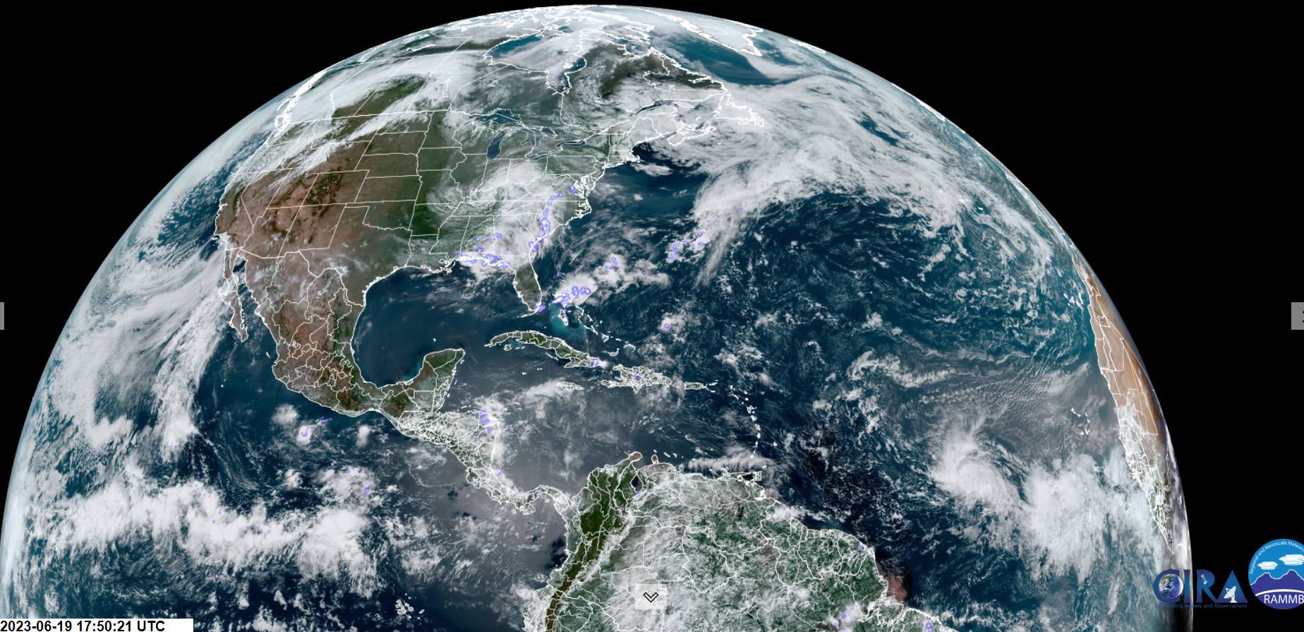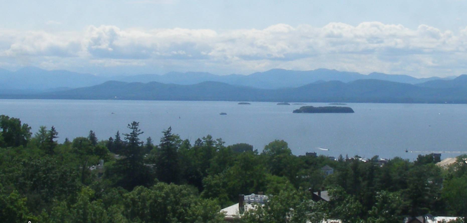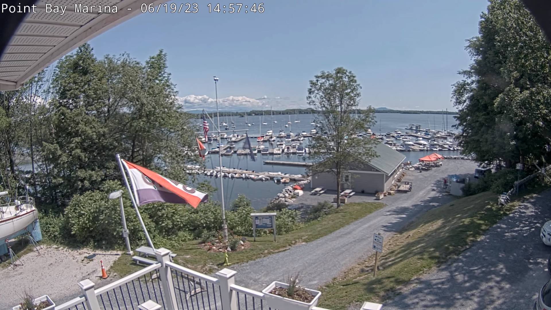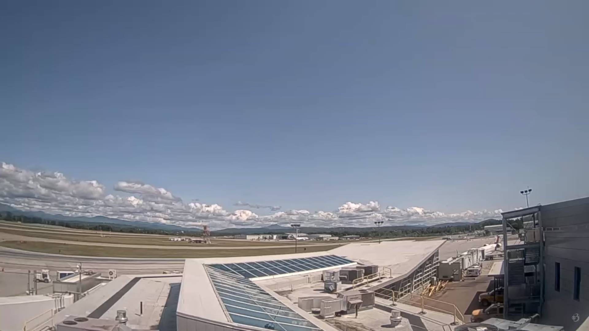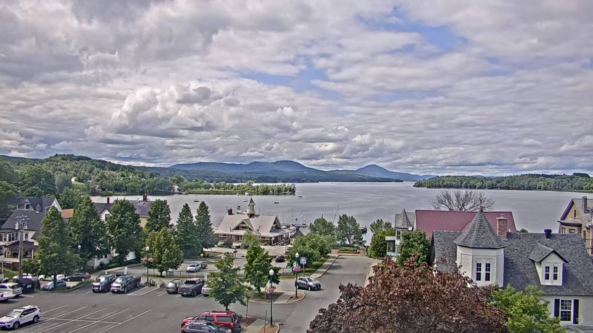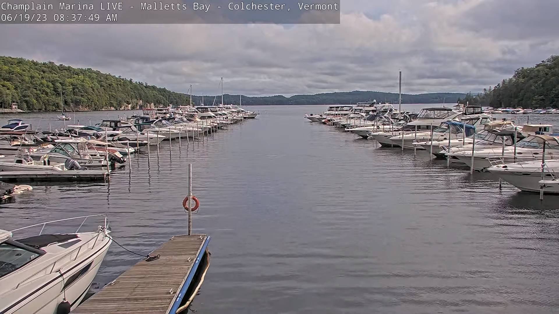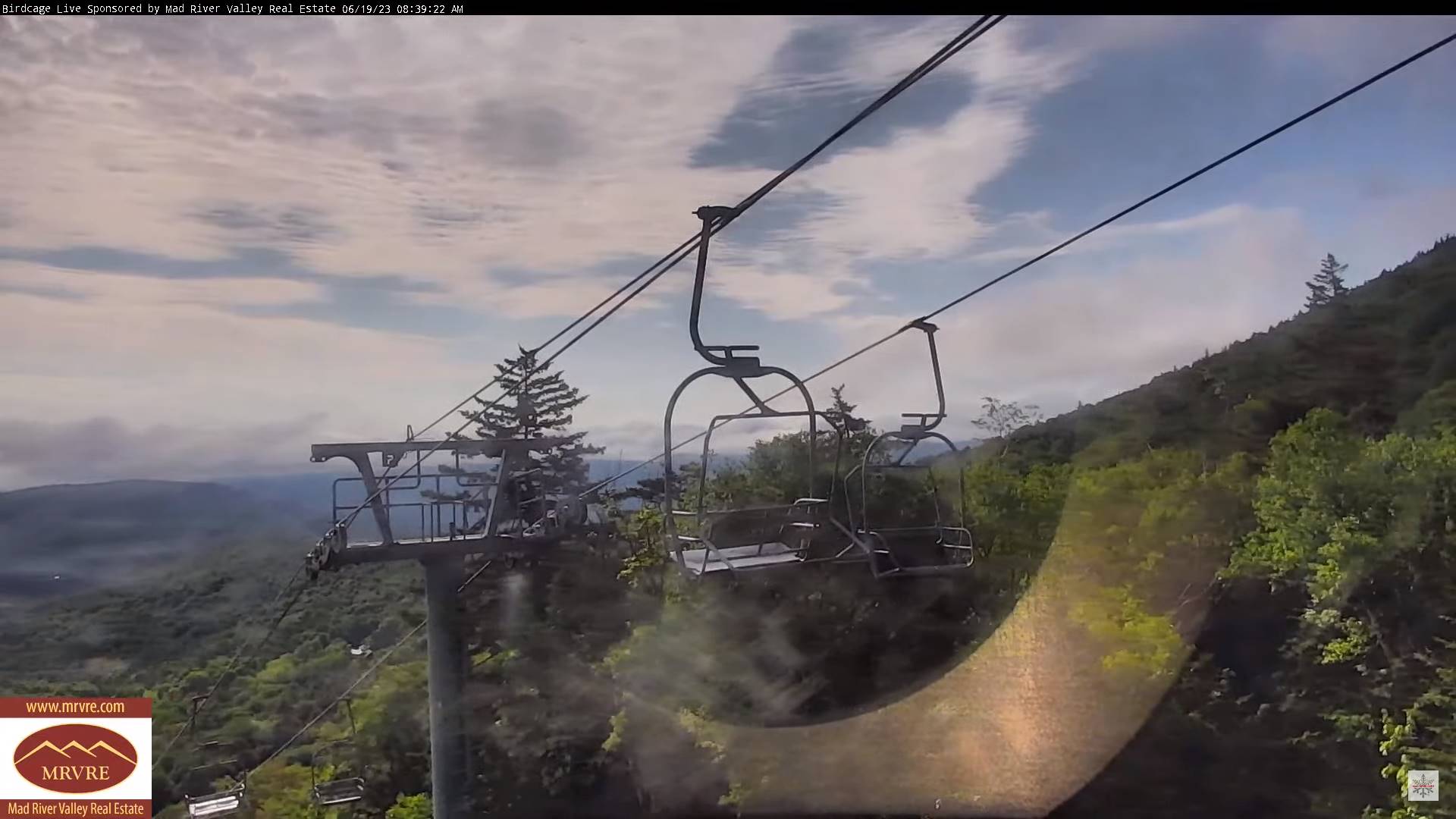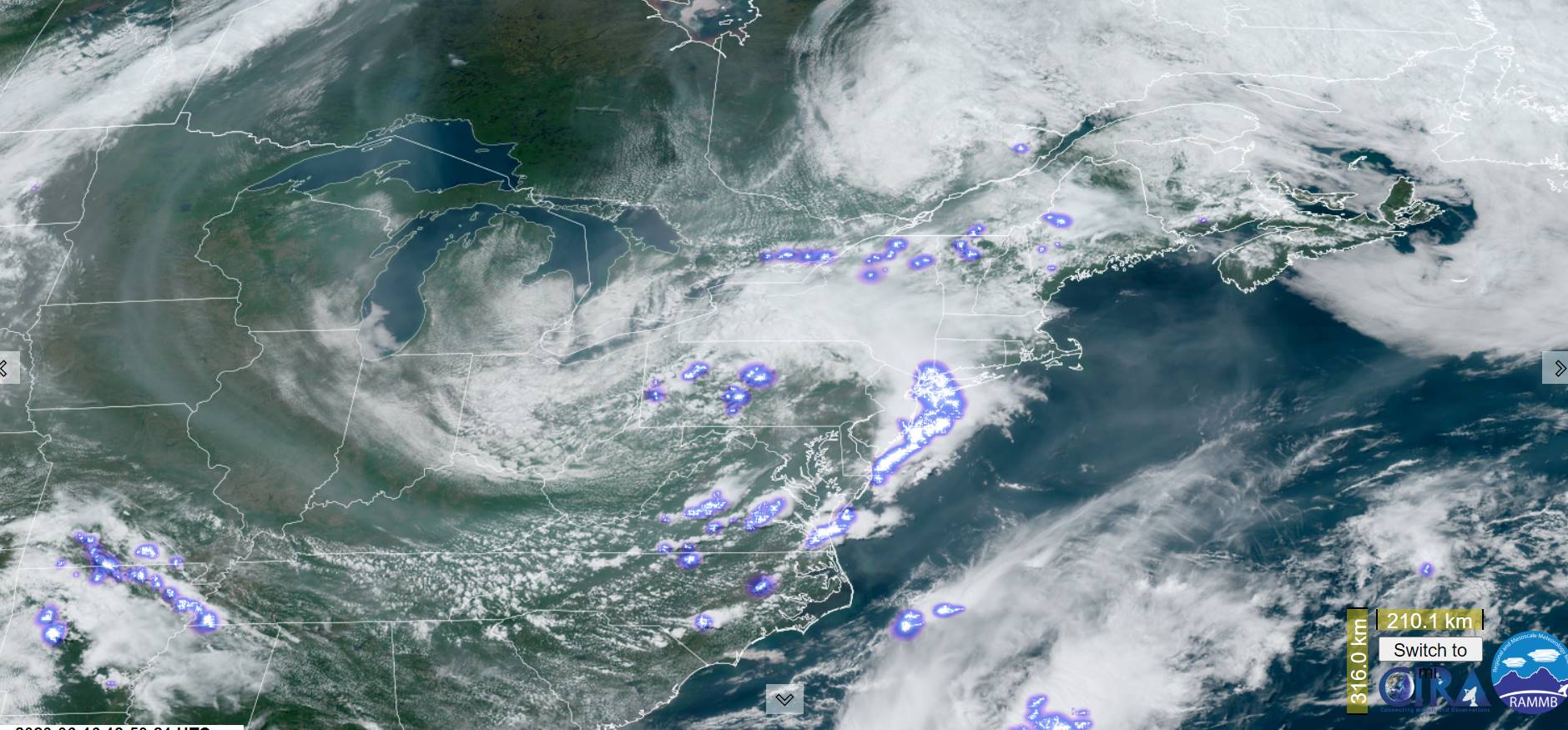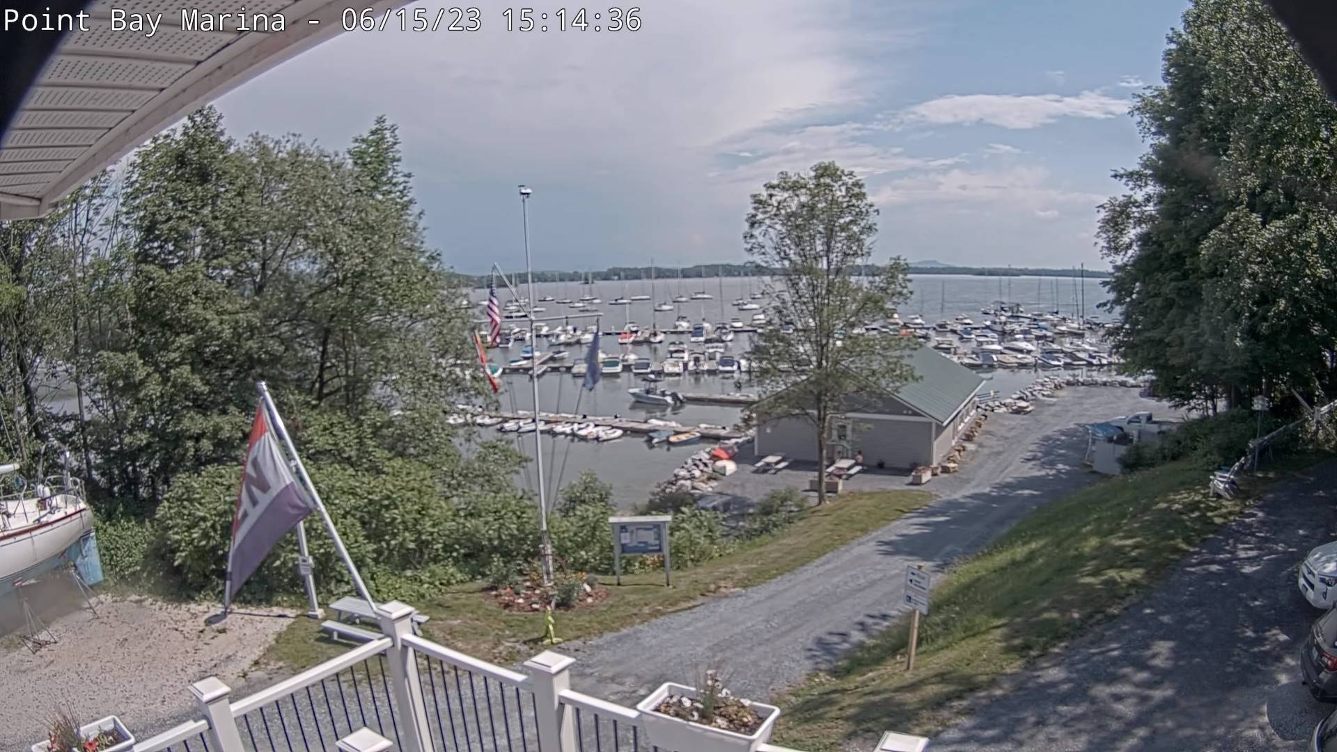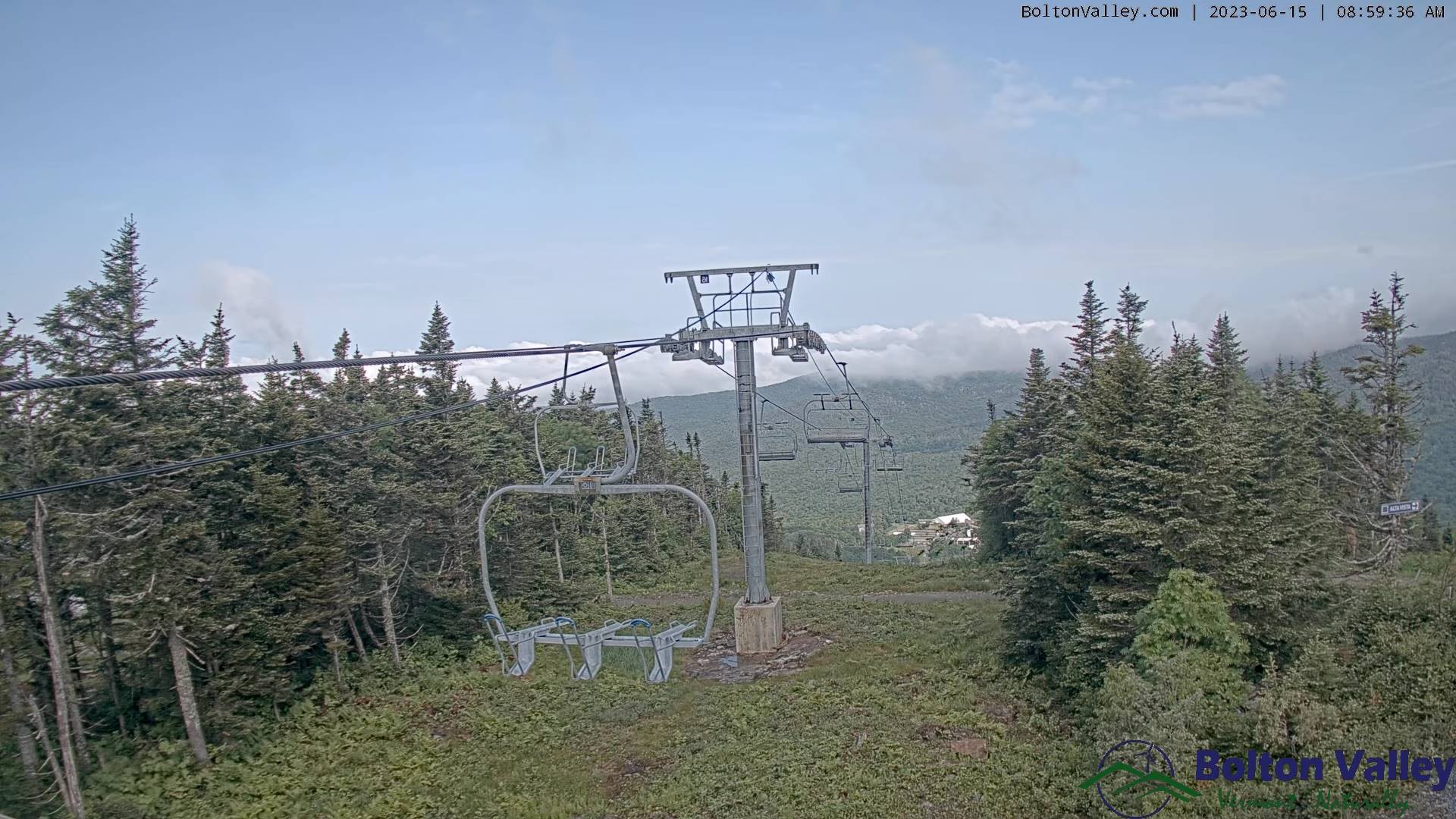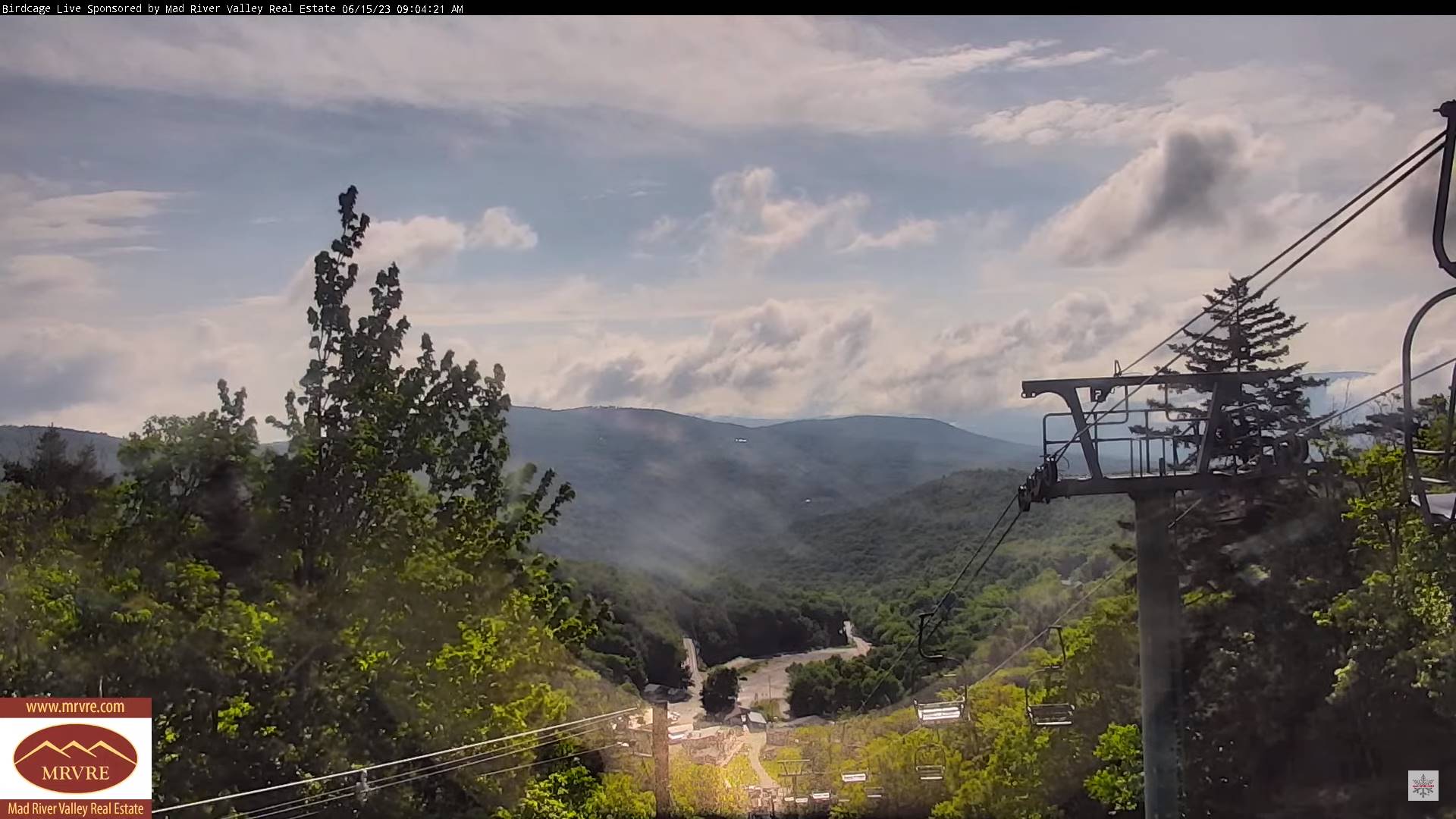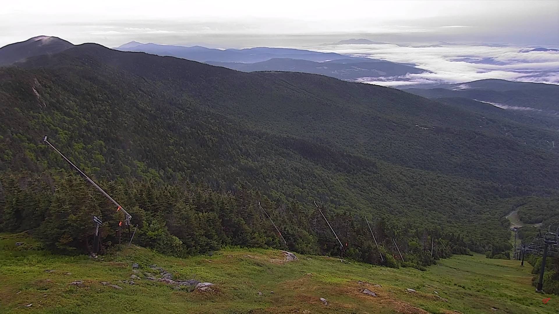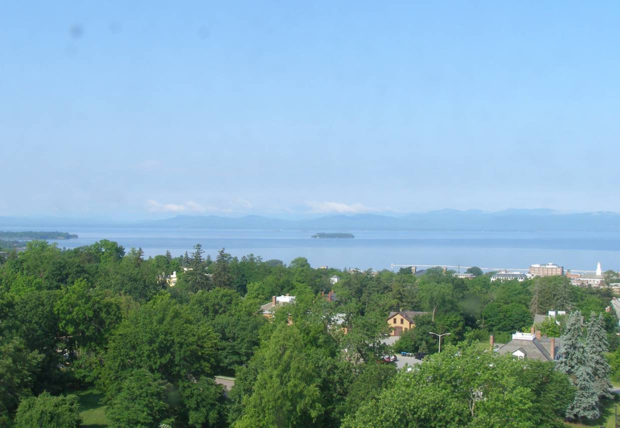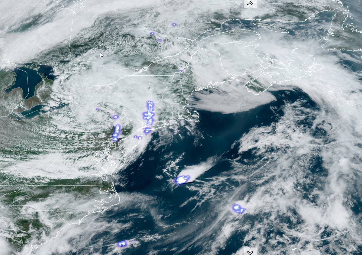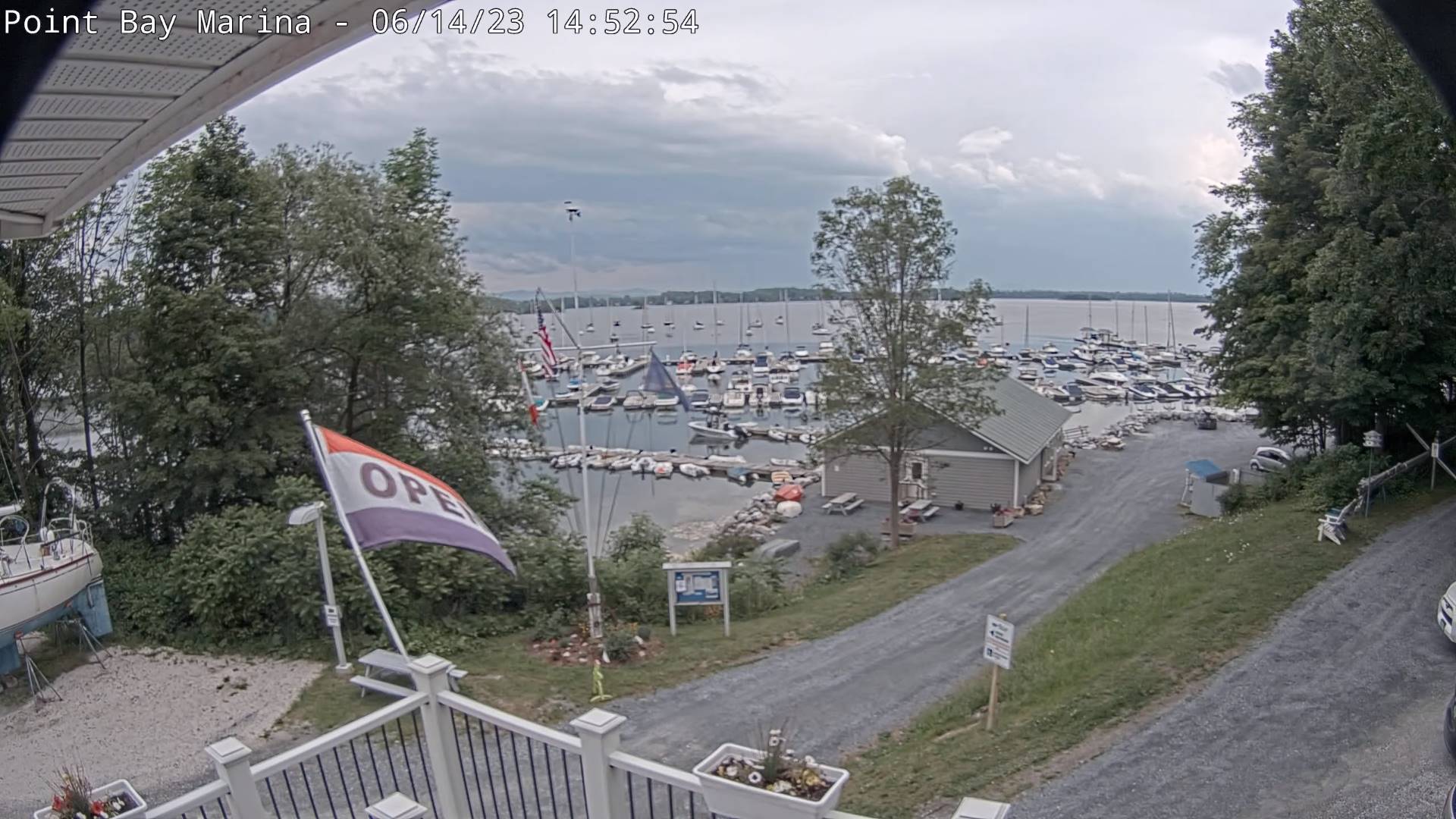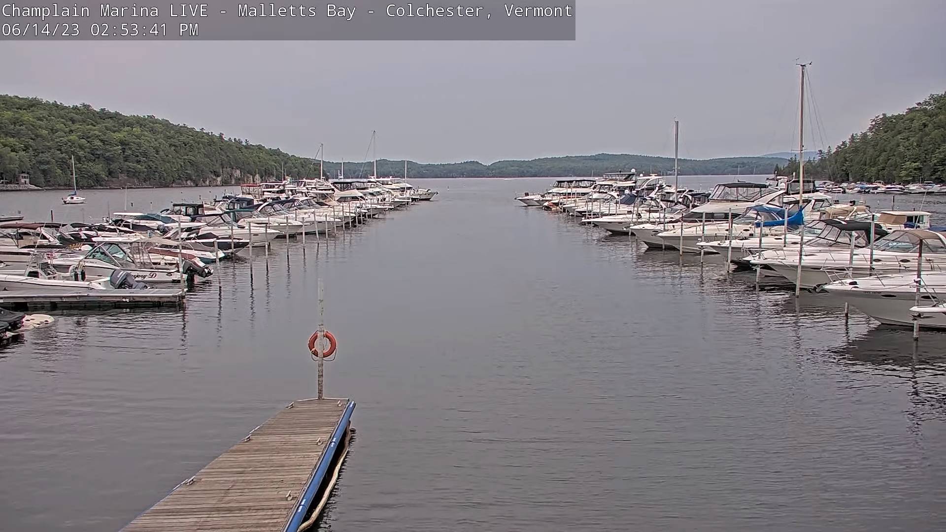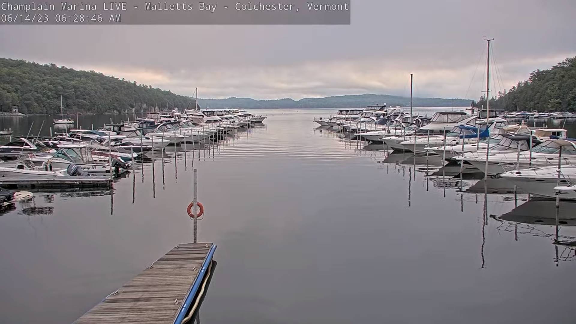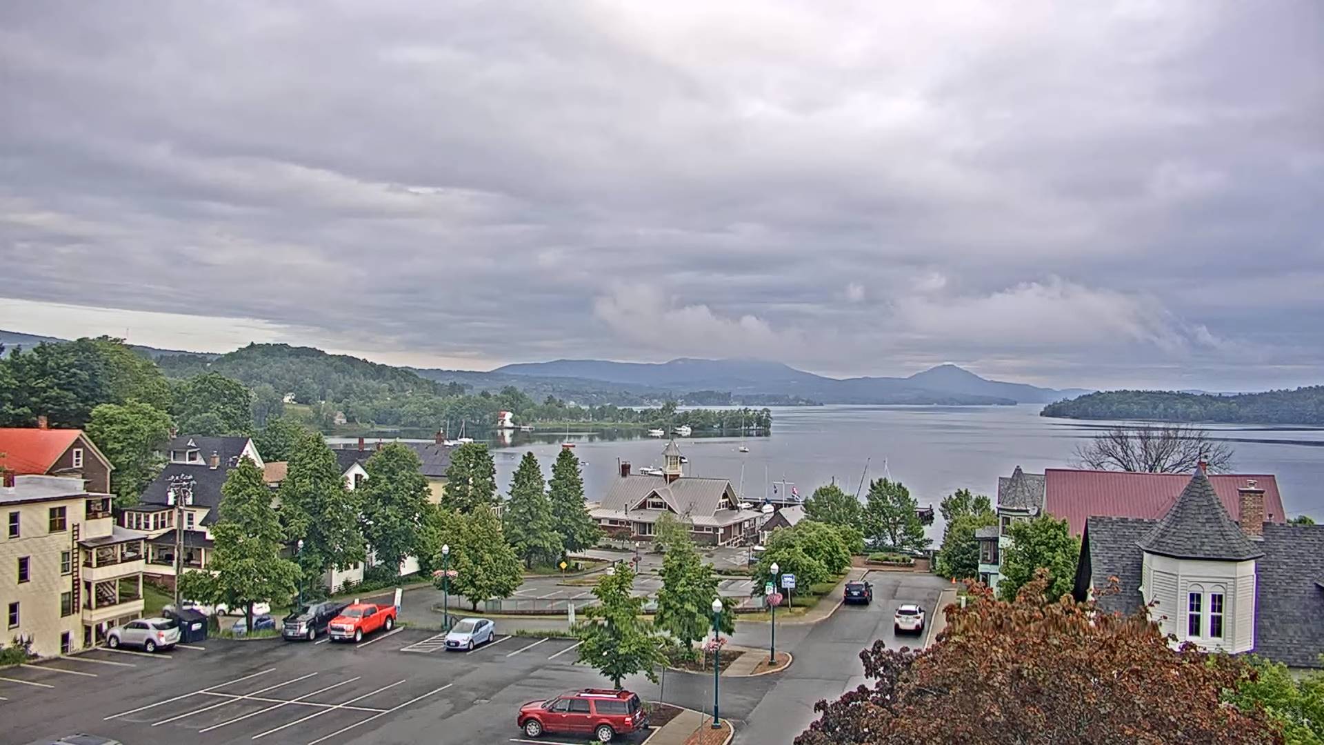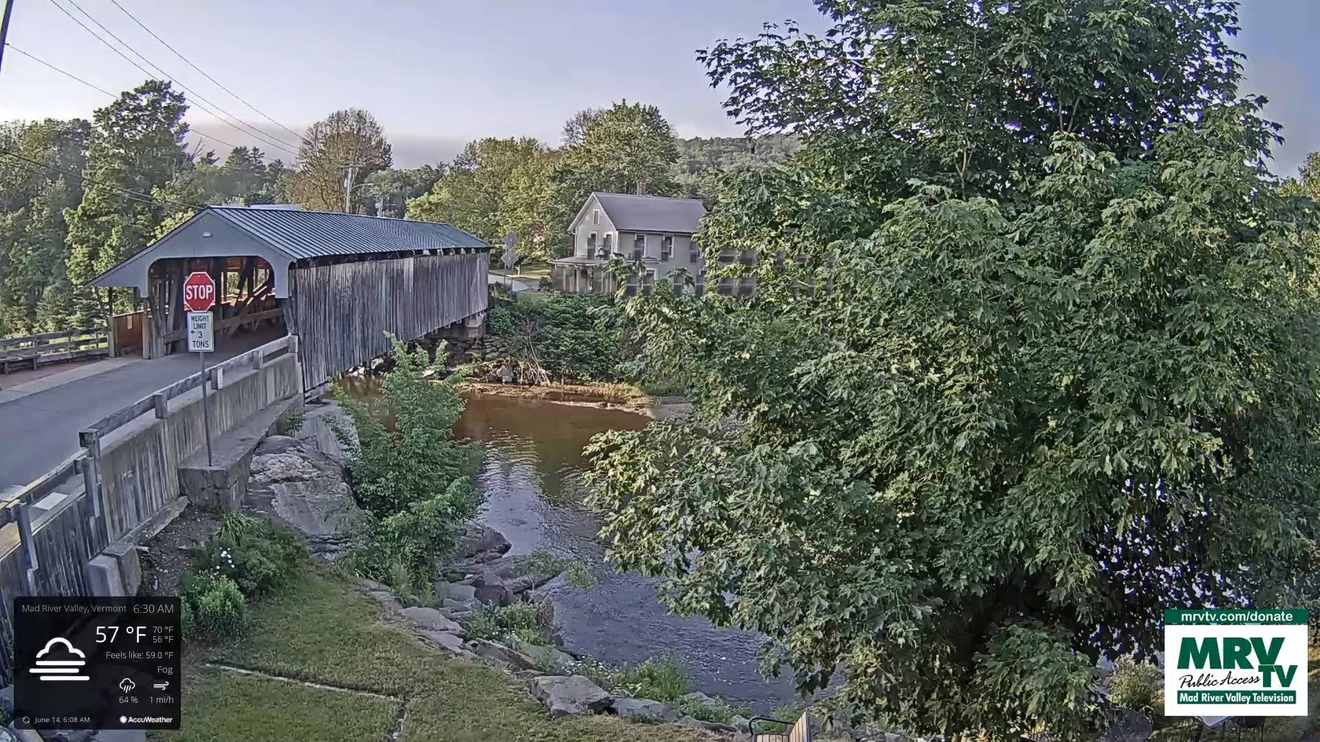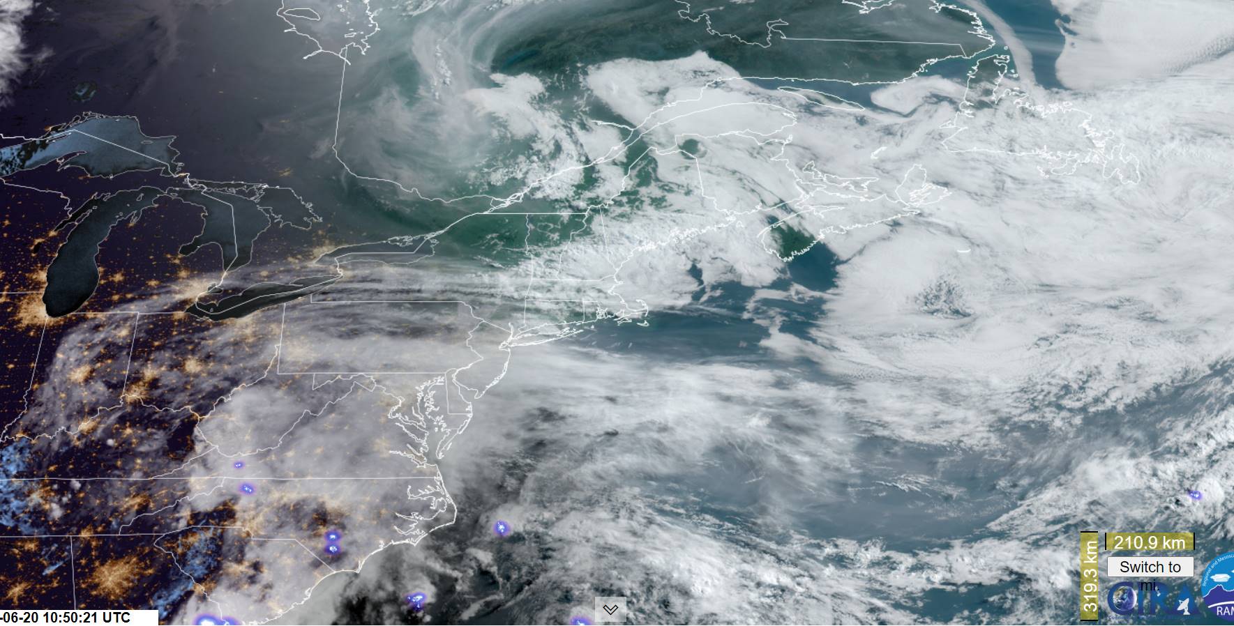
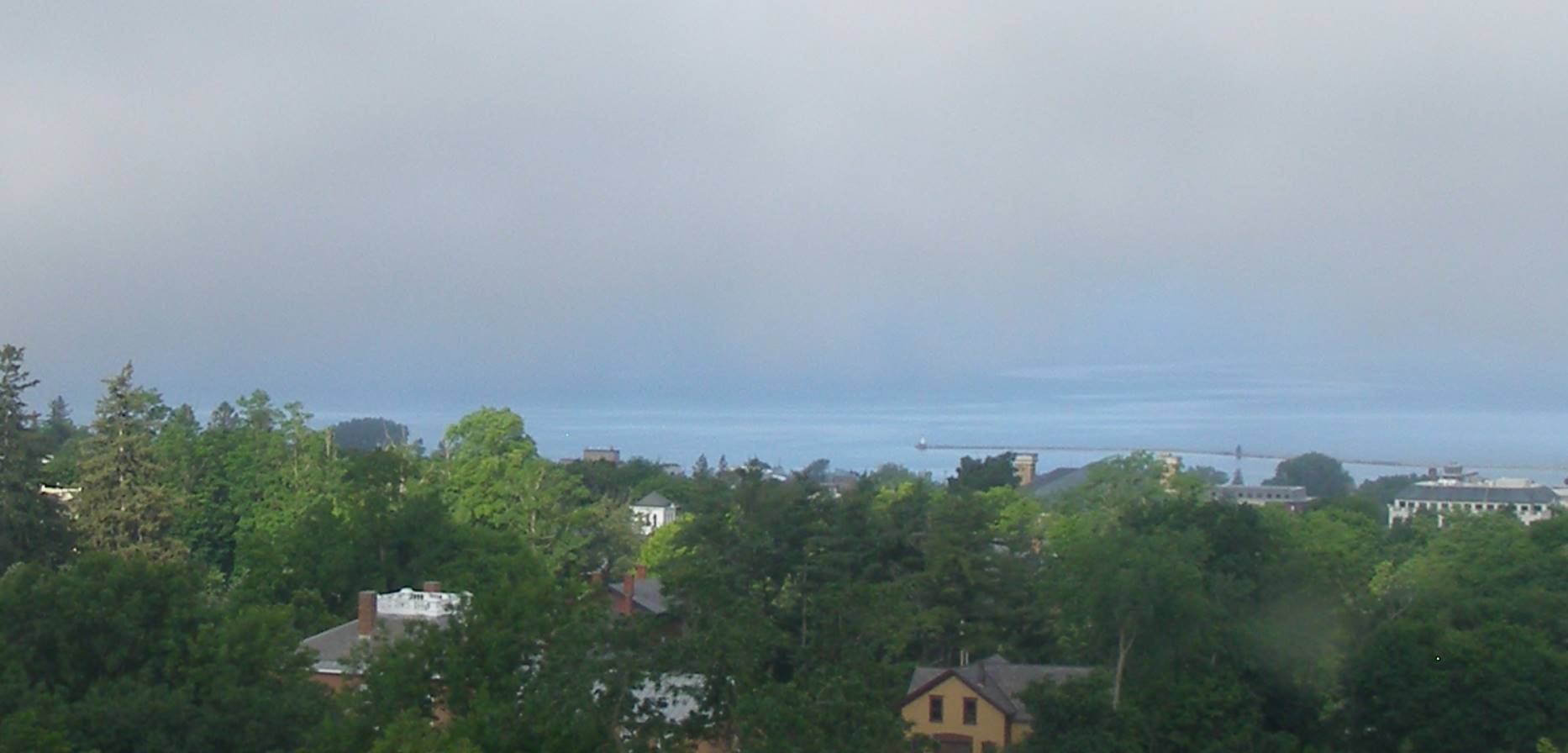
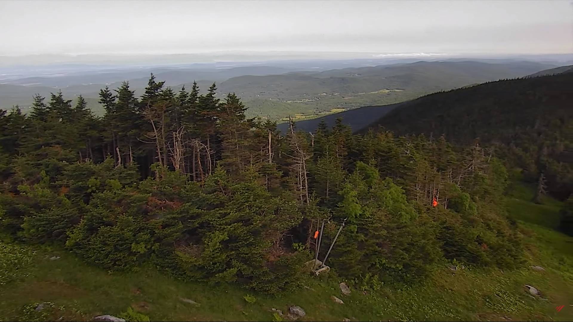
TODAY: Morning fog burns off to mixed sun and clouds. A threat for an afternoon mountain sprinkle. A high in the mid-70s.Light northeast winds.
TONIGHT: Mostly clear with low clouds and patchy valley fog overnight. A low 50 to 55. Light southeast winds.
Summer Solstice 10:57 AM
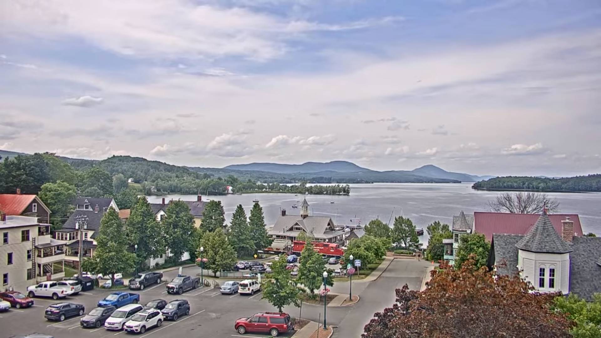
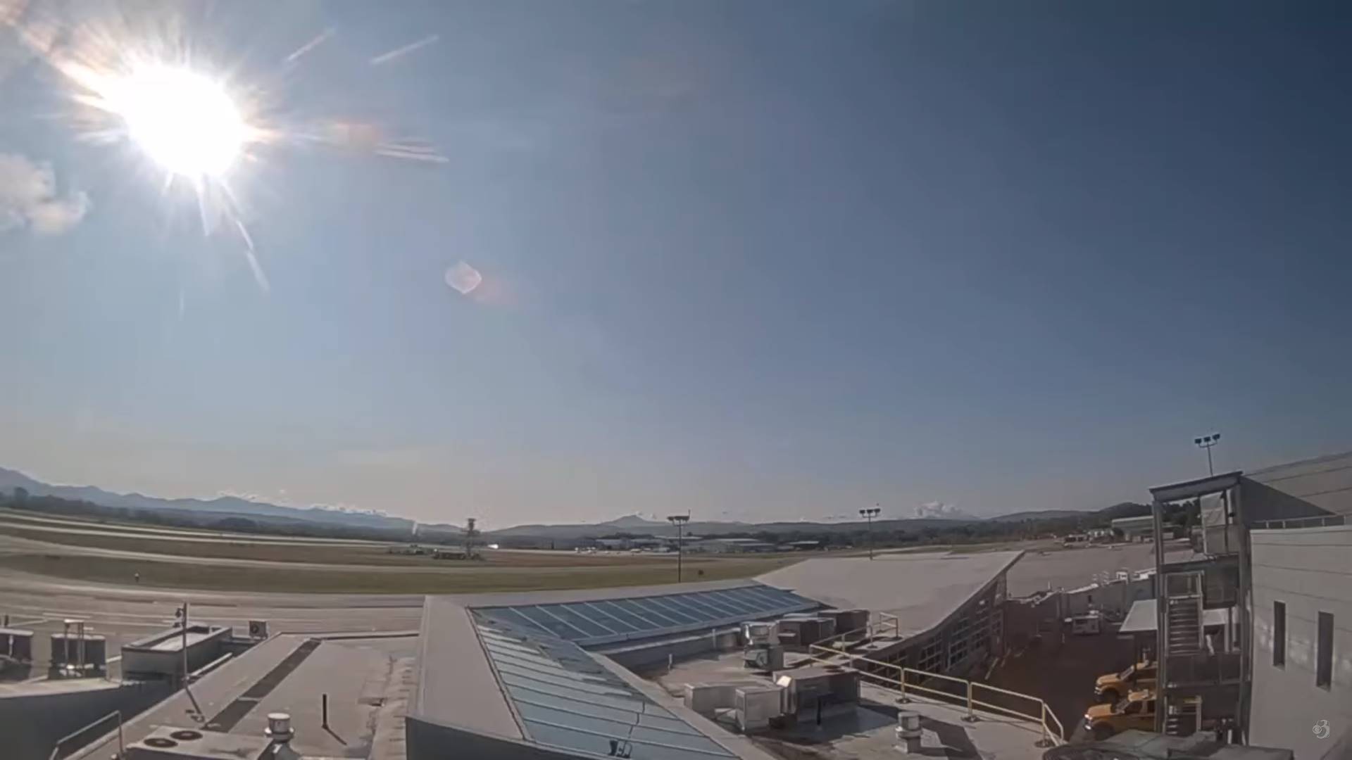
WEDNESDAY: Periods of sun with few afternoon clouds. A high near 75. Light southeast winds.
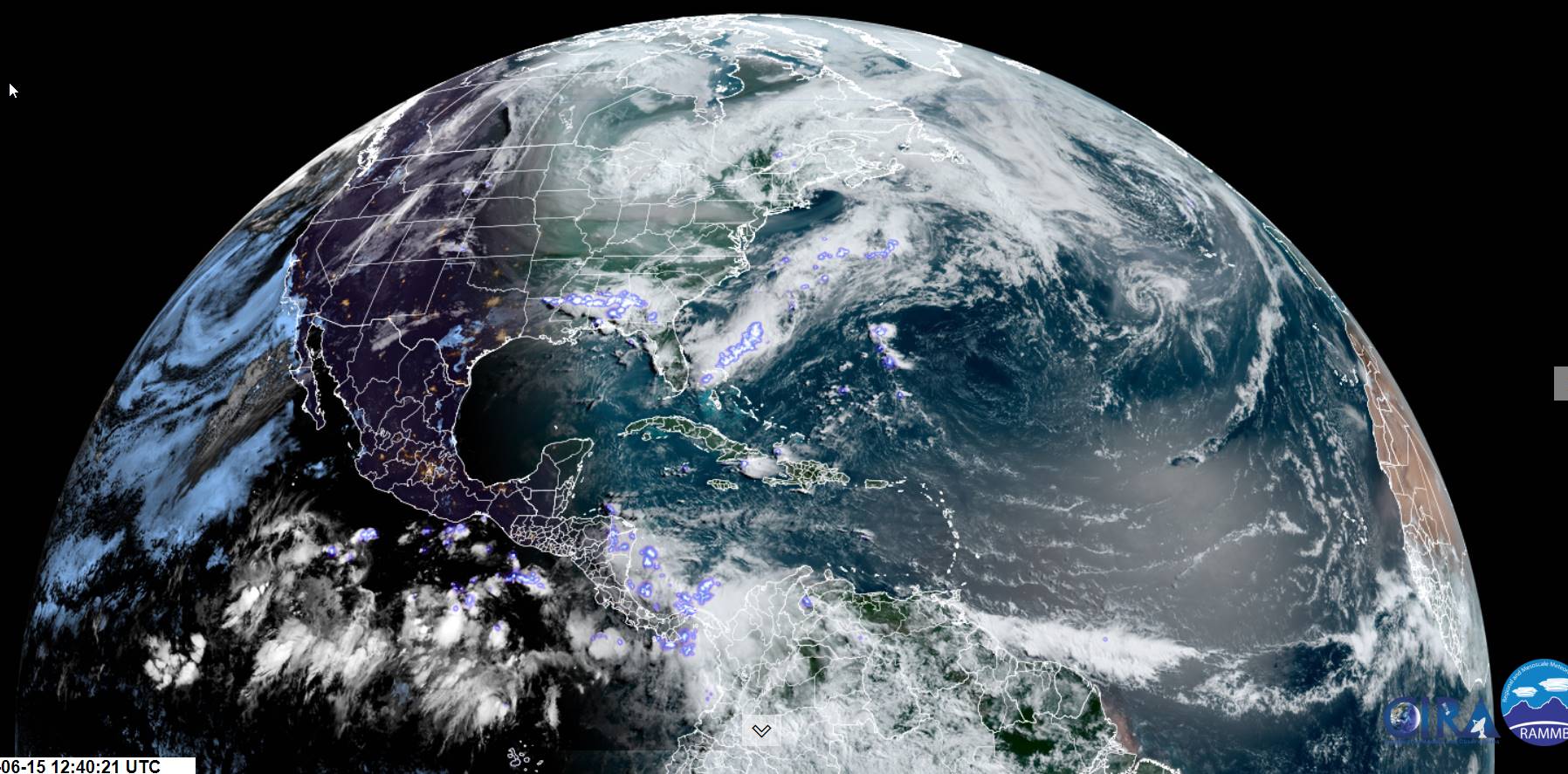
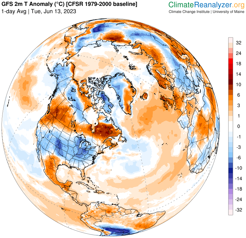
Looking further ahead
WEDNESDAY NIGHT: Mostly clear. A low 50 to 55.
THURSDAY: Sunshine filtered by high cloudiness. Moderately humid. A high in the upper 70s.
FRIDAY: Increasing cloudiness. Muggy. Slight chance for late day shower southern areas. A low upper 50s. A high upper 70s to around 80.
SATURDAY: Clouds with a few hints of sunshine. Sticky. Rising chance for afternoon showers & thunderstorms.
A low in the low to mid 60s. Highs upper 70s to around 80.
SUNDAY: Partial morning sun then afternoon clouds. Scattered afternoon showers and thunderstorms. A low 60 to 65. A high around 80.
Average lows mid to upper 50s. Average highs 75 to 80.
Approximate Peak of summer July 22nd
RH/6-20 forecast][end]