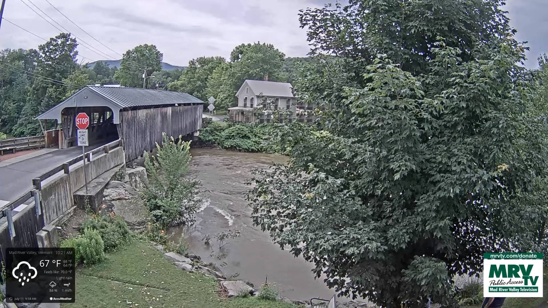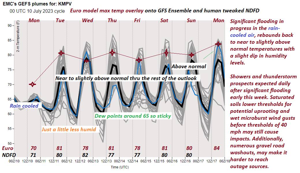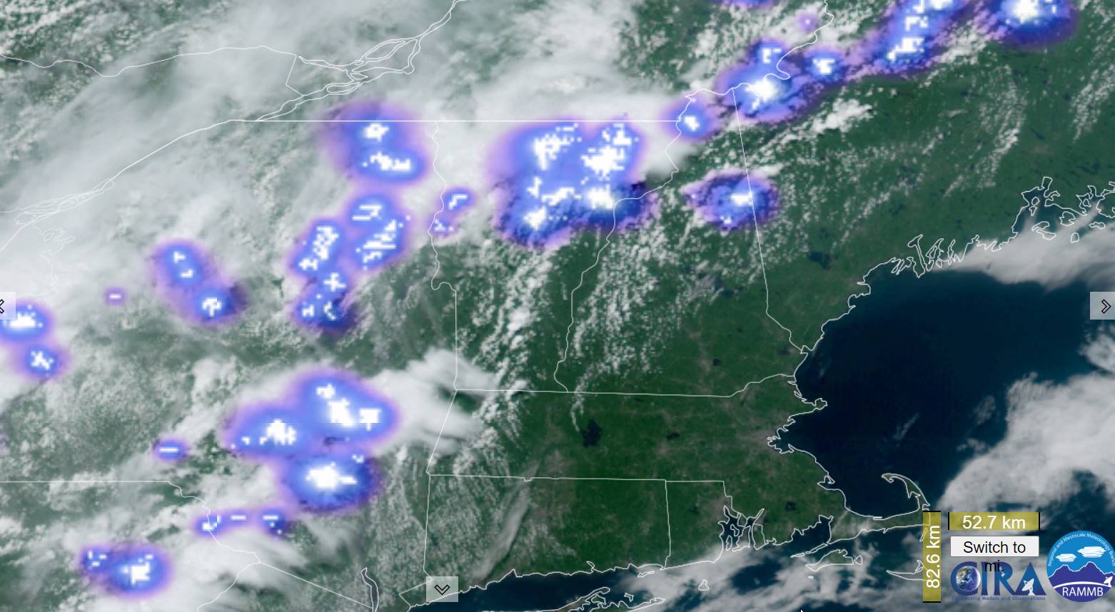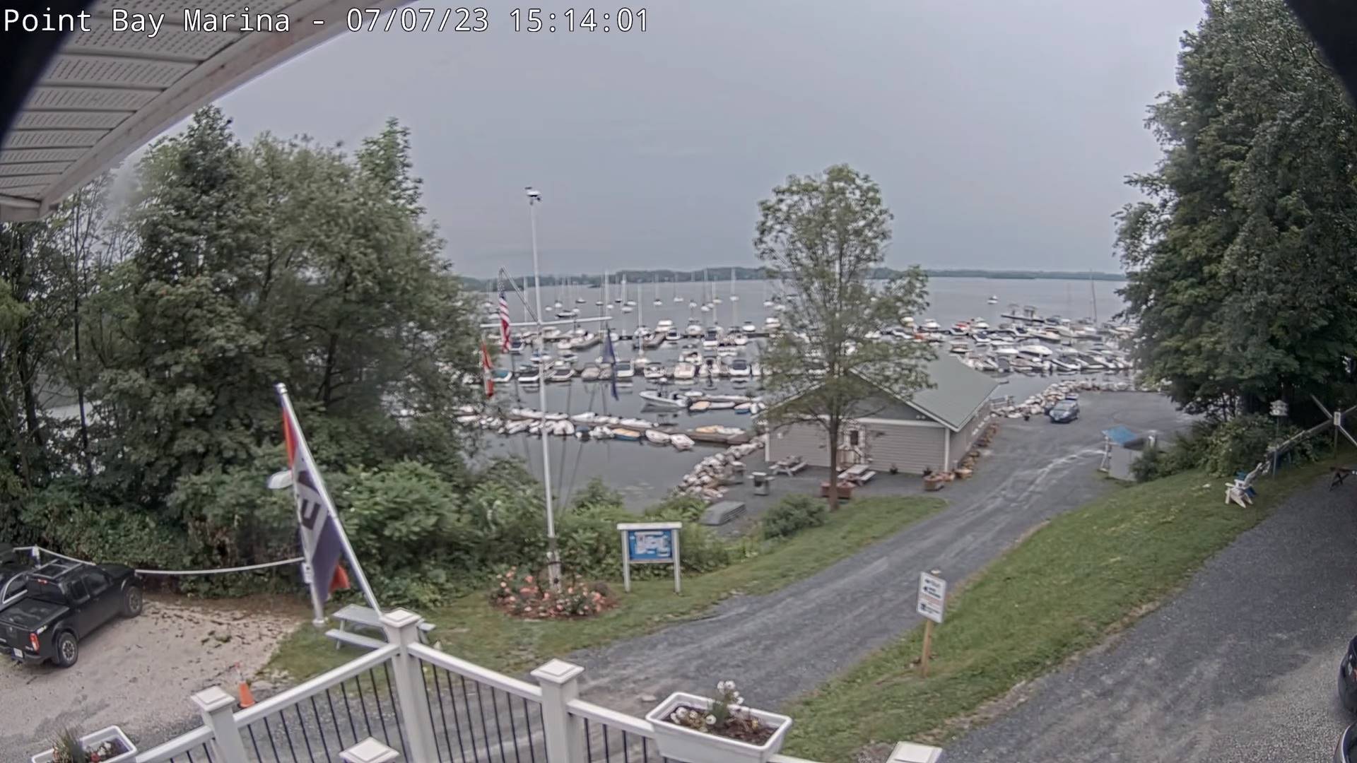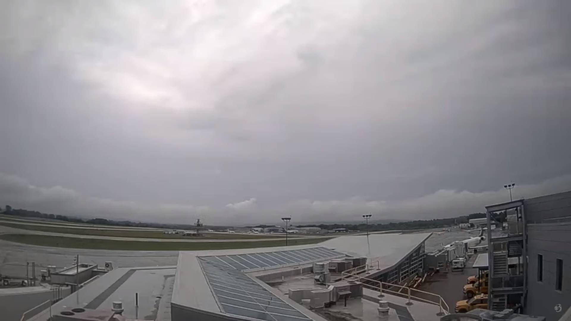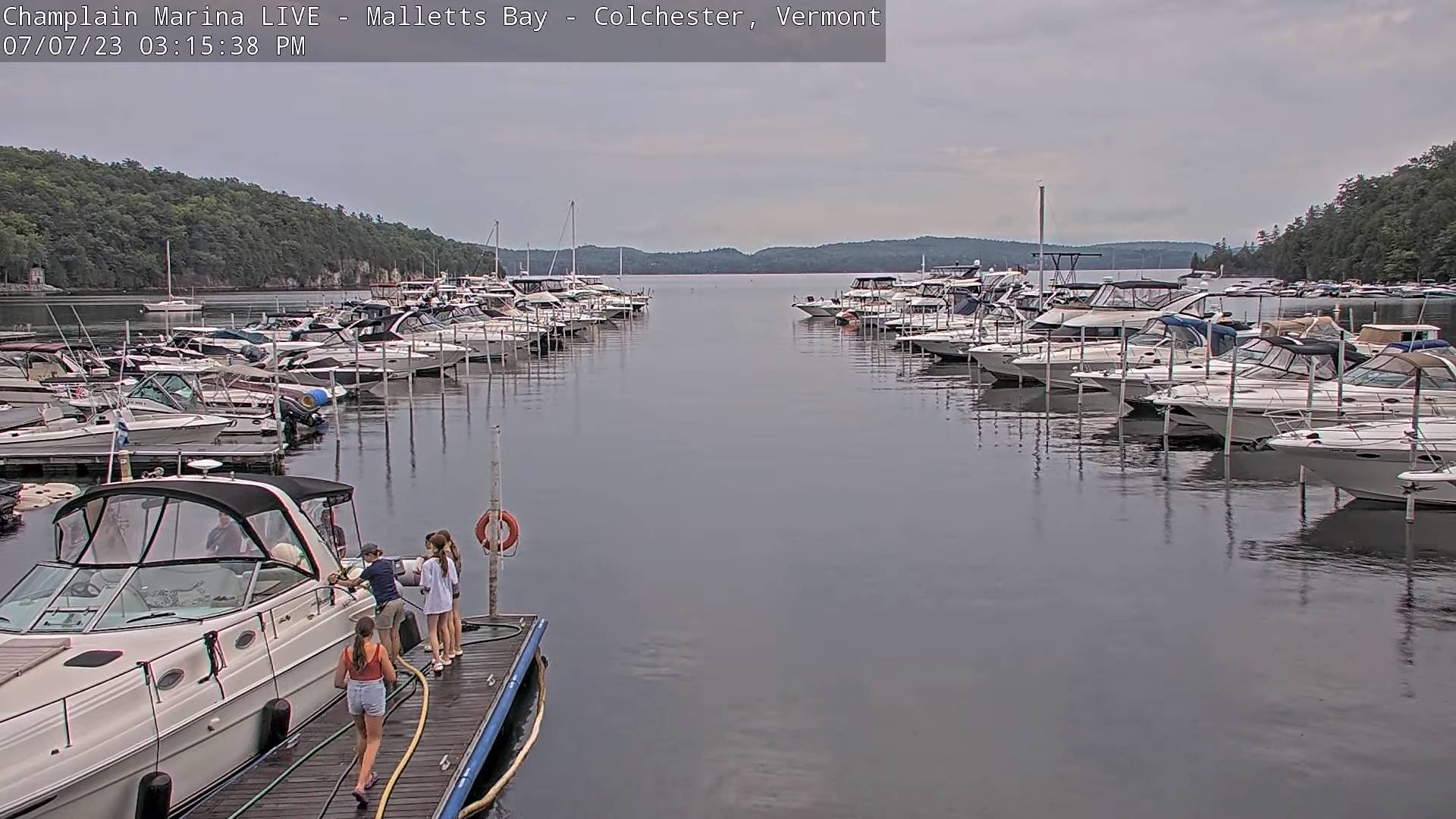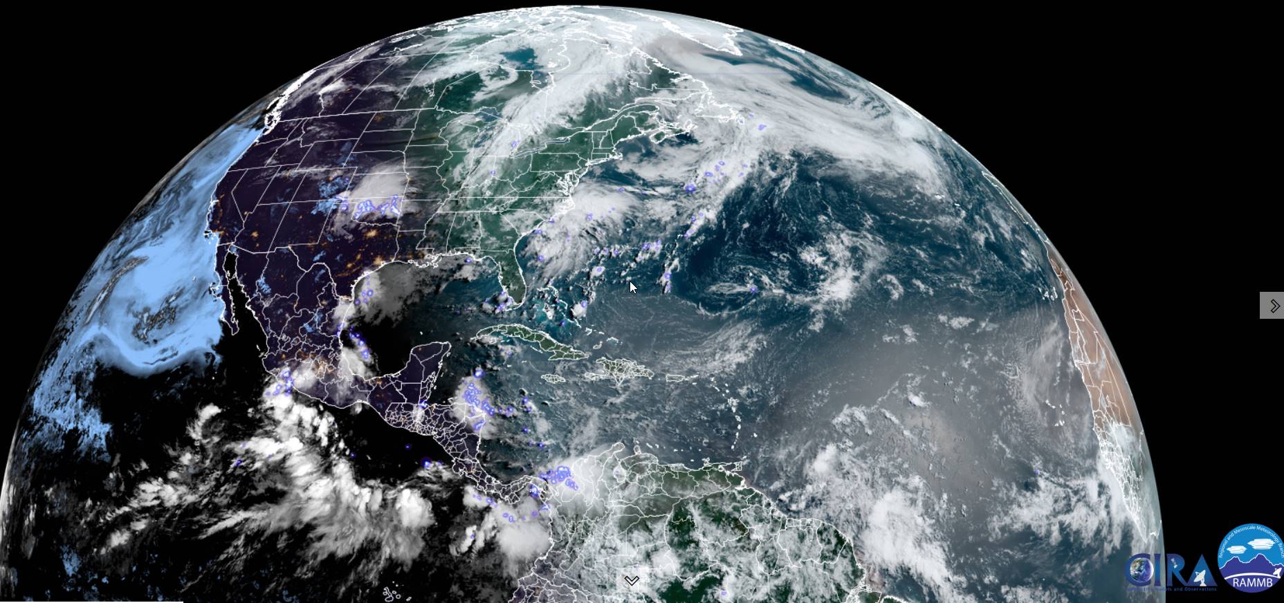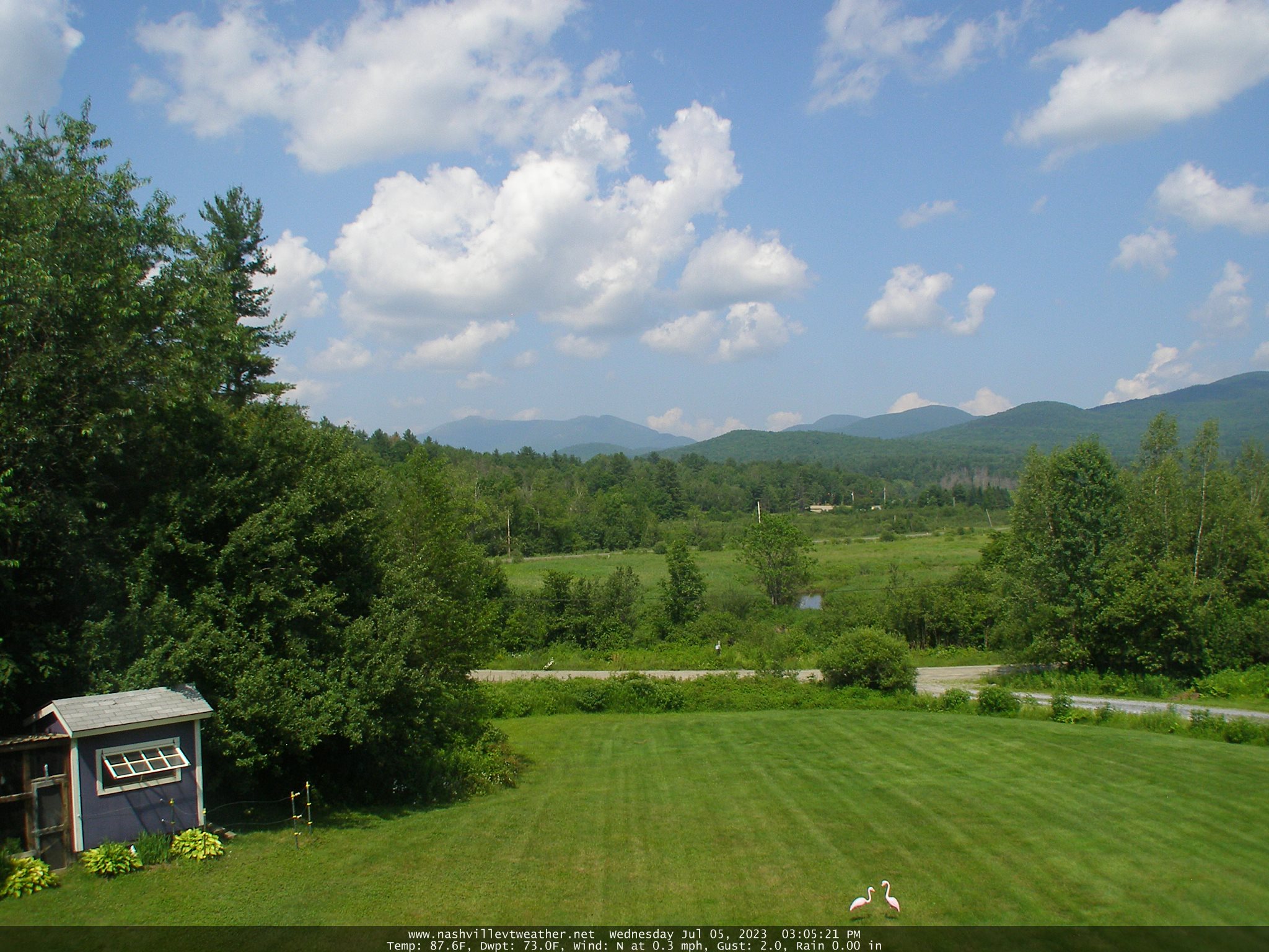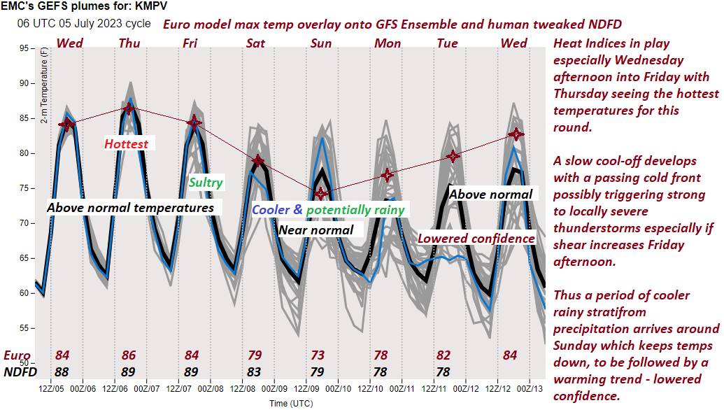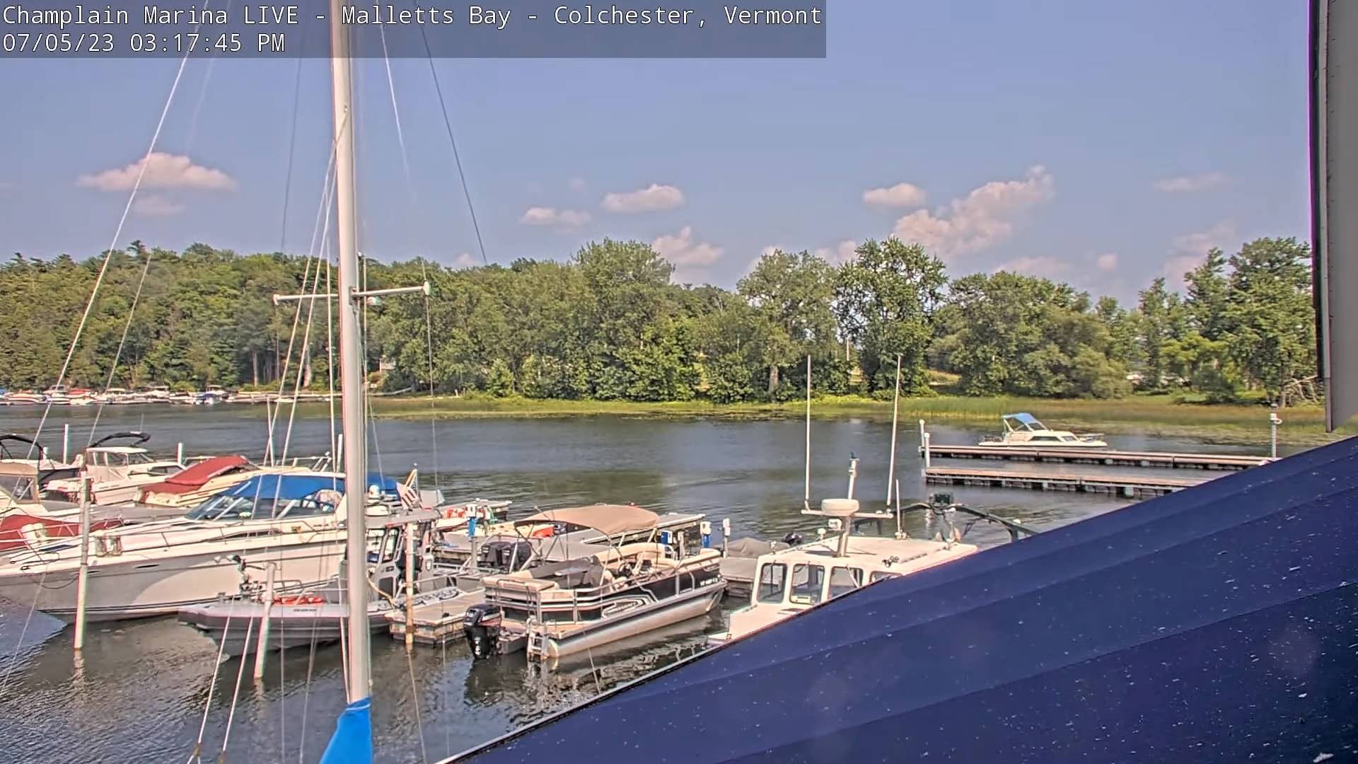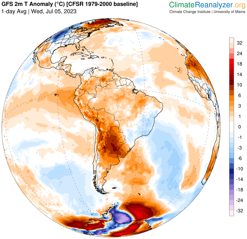
THIS AFTERNOON: Partly sunny. An isolated shower or thunderstorm toward southern areas. A high in the low 80s. West to southwest breeze 10 mph.
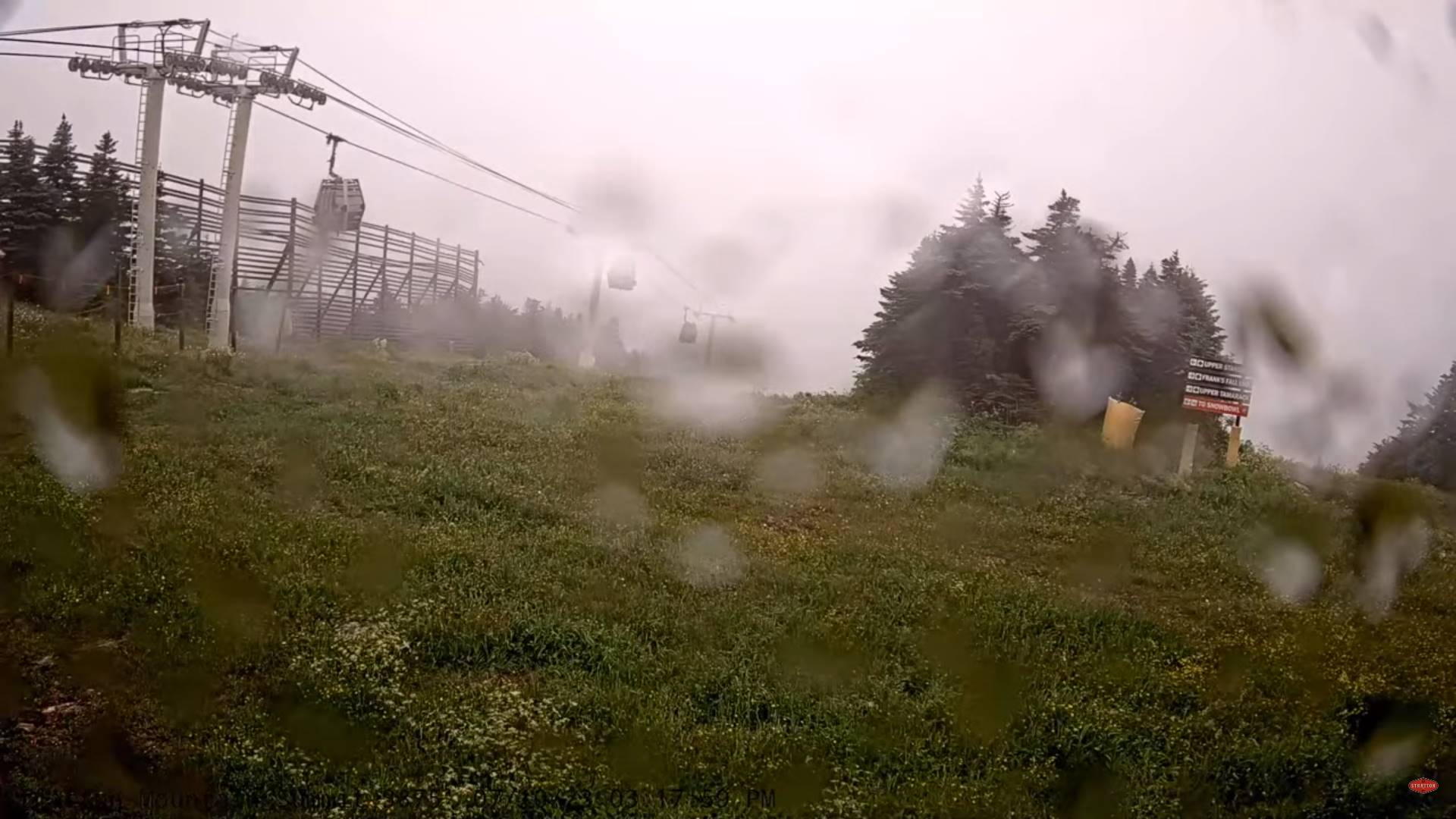
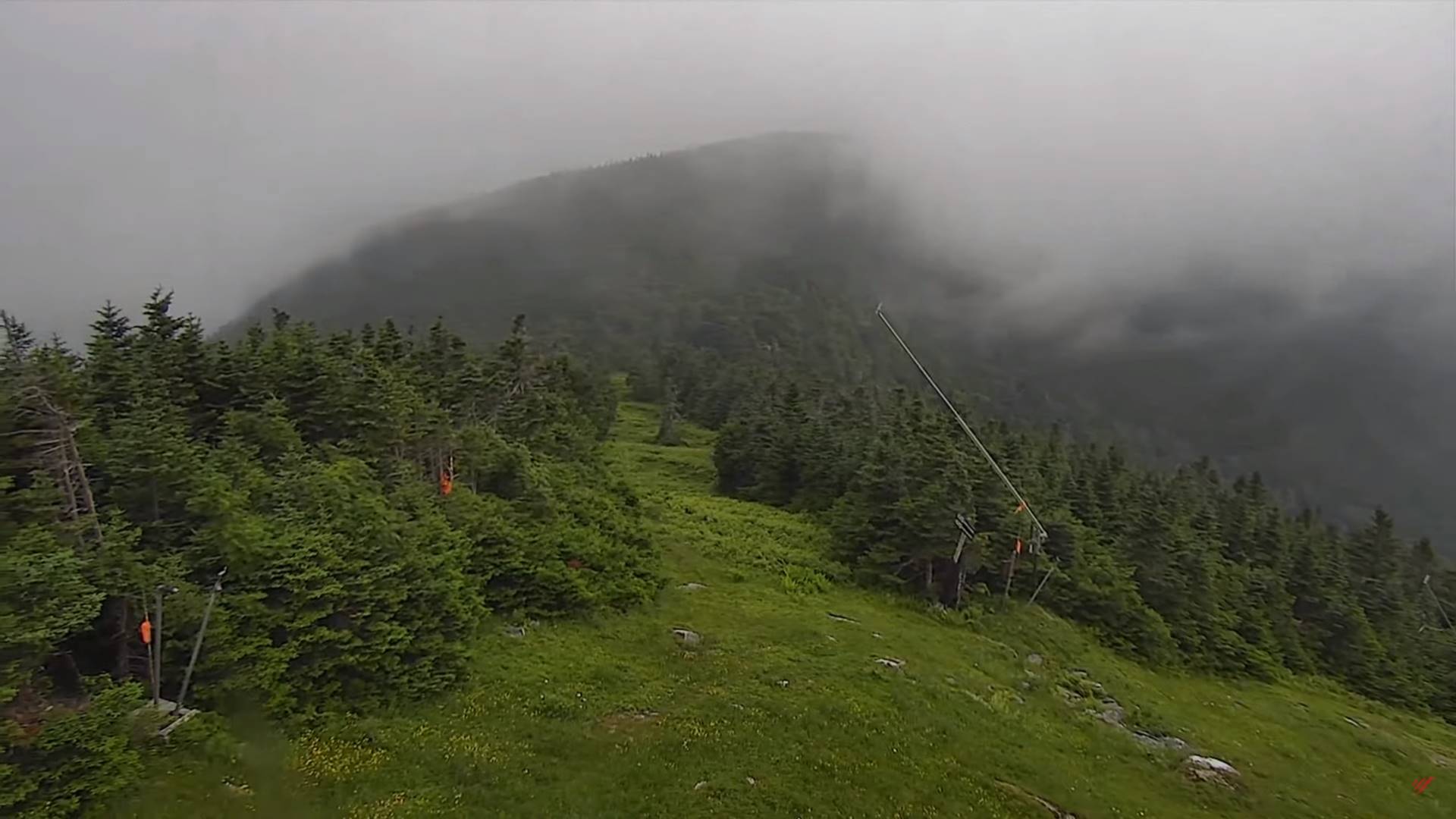
TONIGHT: Fair high cloudiness. Less humid and a touch cooler. Patchy valley fog. A little less humid. A 55 to 60. Little wind.
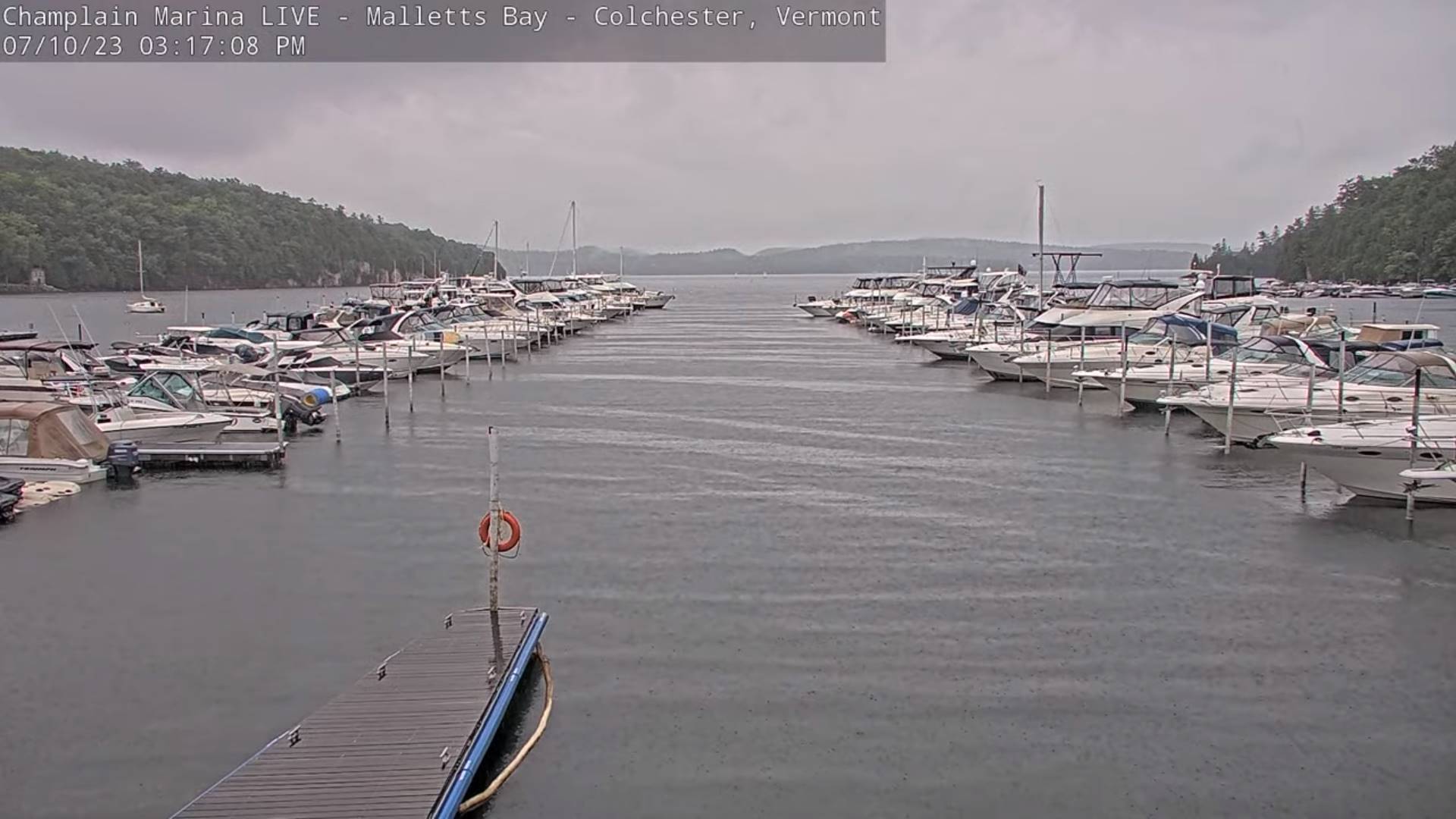
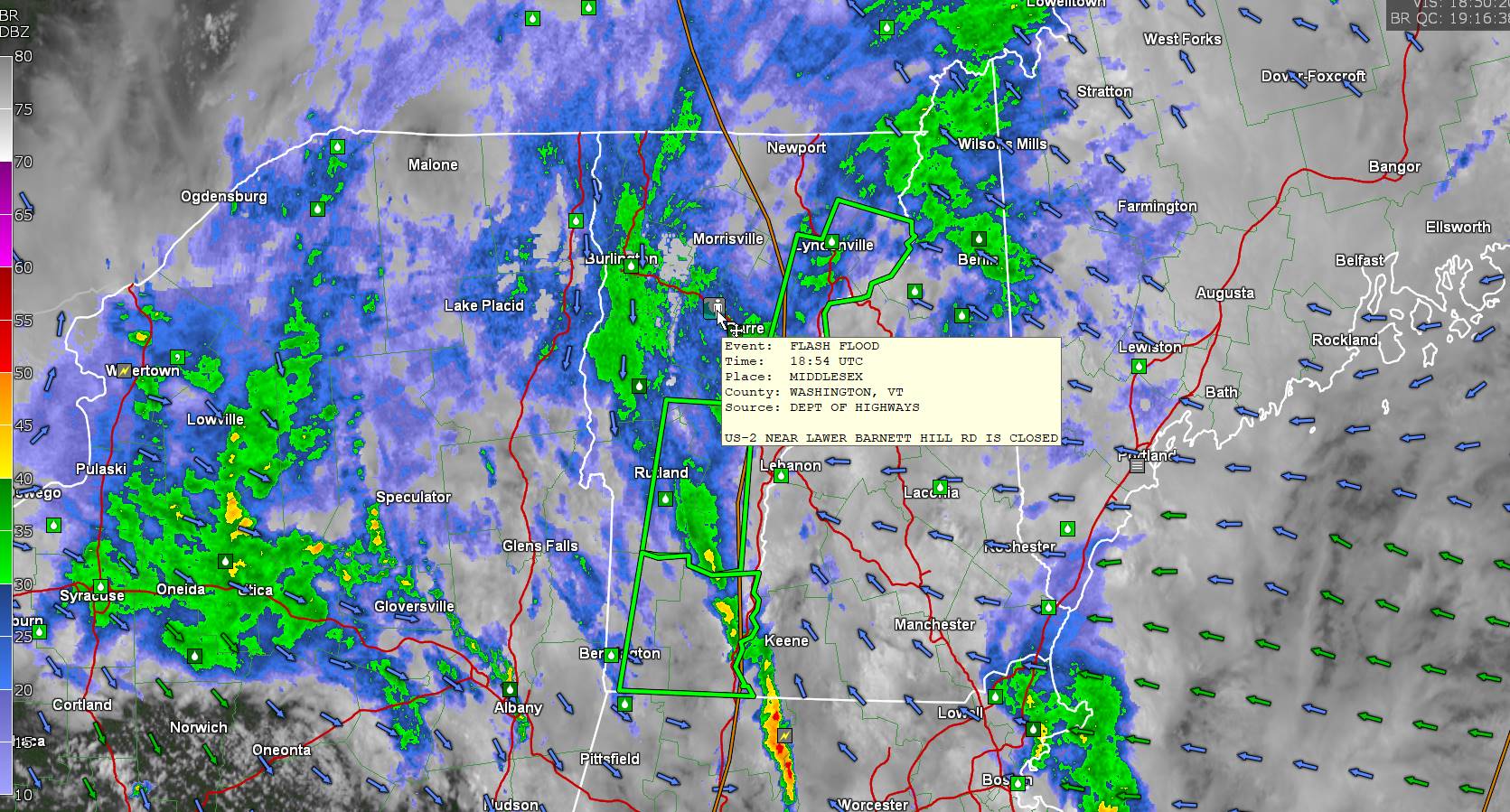
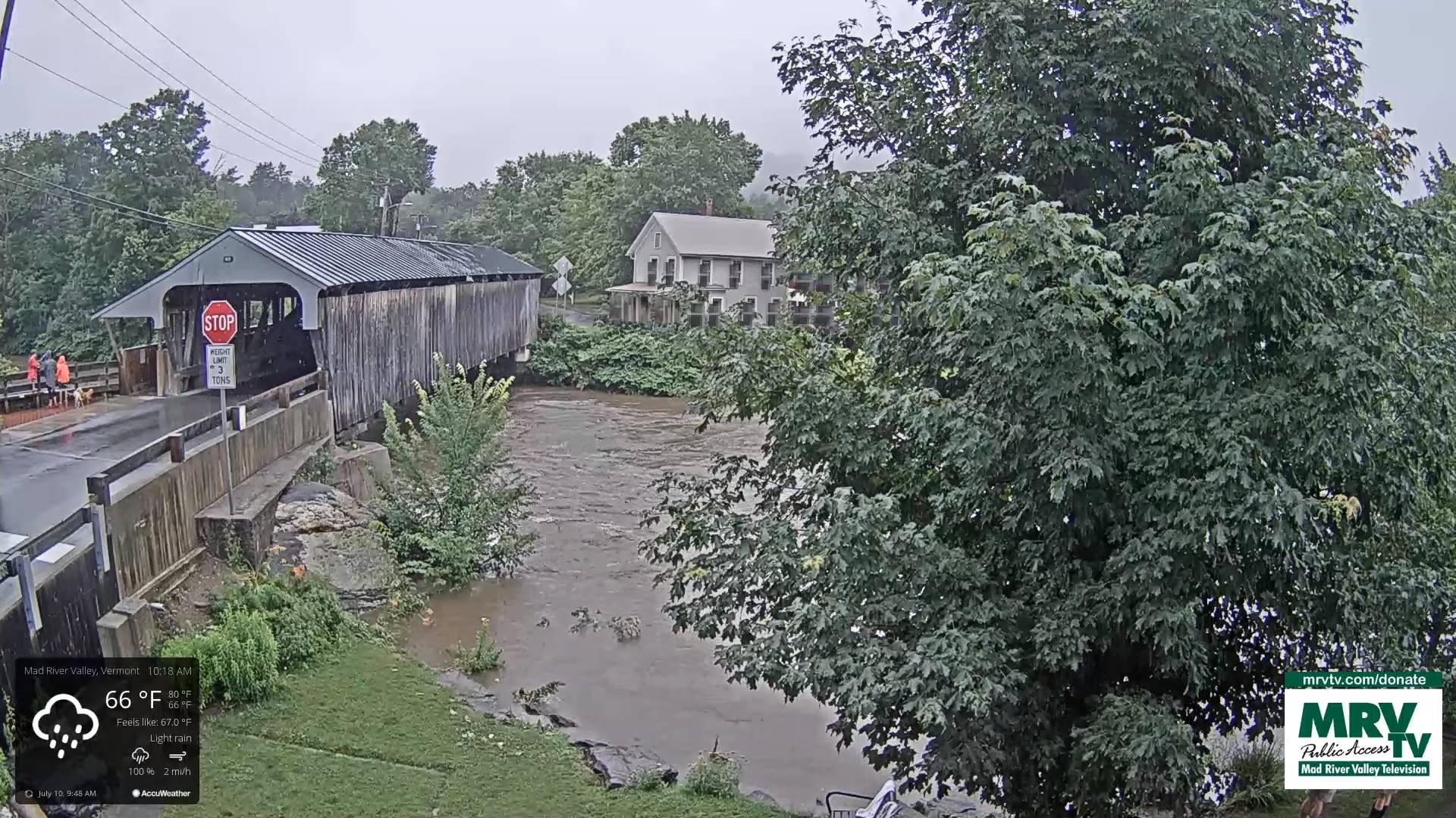
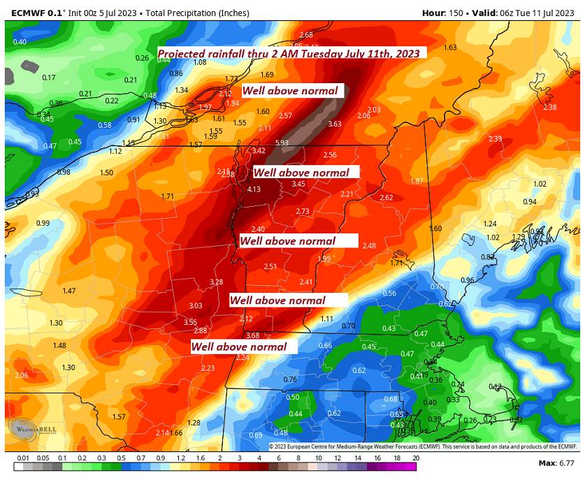
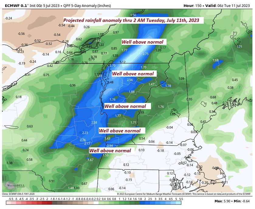
TOMORROW: Mixed sun and clouds early, then mostly cloudy & muggy again. Showers and thunderstorms likely, some strong and locally heavy. A high in the upper 70s. South to southeast breeze 10 mph.
Looking further ahead
THURSDAY NIGHT: Partly to mostly cloudy. Chance for scattered showers and thunderstorms lingering, some locally heavy. A low in the low 60s.
FRIDAY: Intervals of sun and clouds. Chance for lingering showers and afternoon thunderstorms, some heavy. A high about 80.
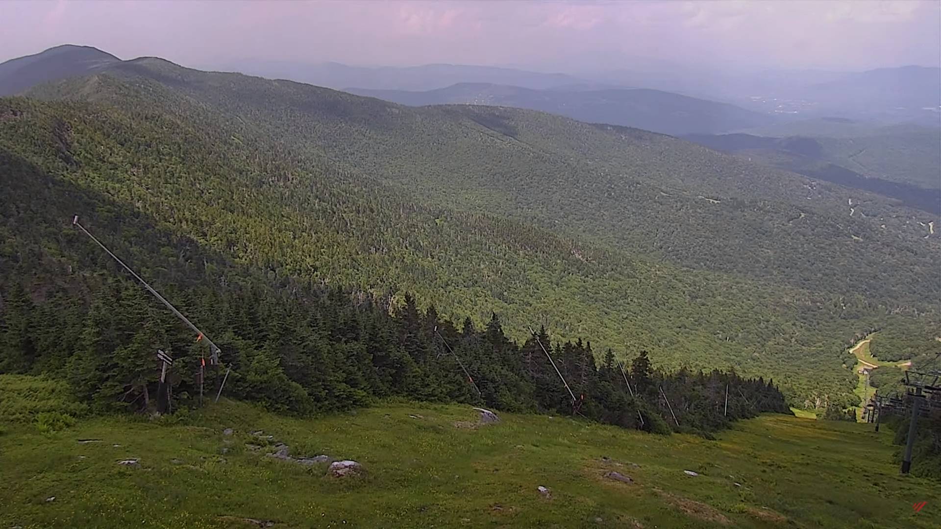
SATURDAY: Patchy valley fog, then mostly sunny and pleasant. A few more afternoon clouds and & isolated showers. A low 60 to 65. A high in the low 80s.
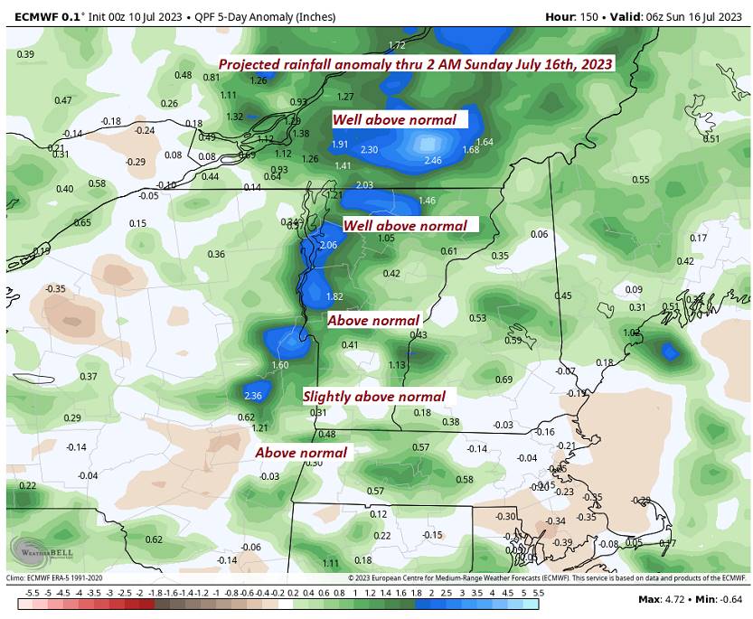
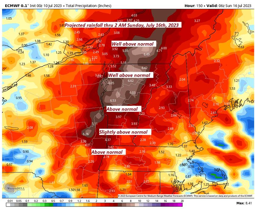
SUNDAY: Cloudy with periods of rain or showers. A low near 65. A high in the low 80s.
Average lows 55 to 60. Average high upper 70s to low 80s.
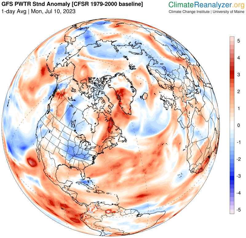
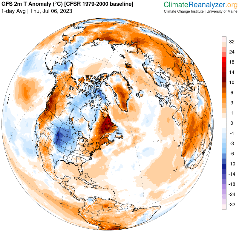
Summer temps peak July 22nd
RH/7-11 forecast][end]