
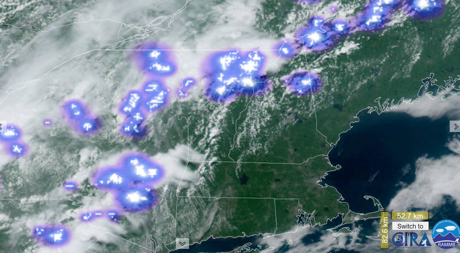
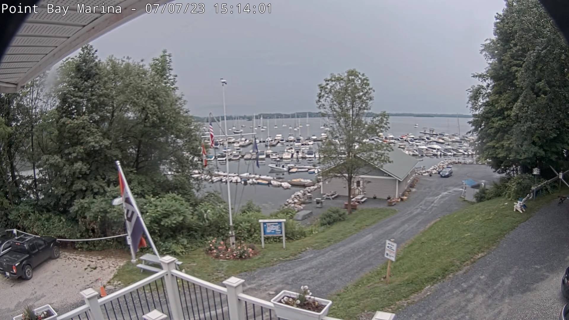
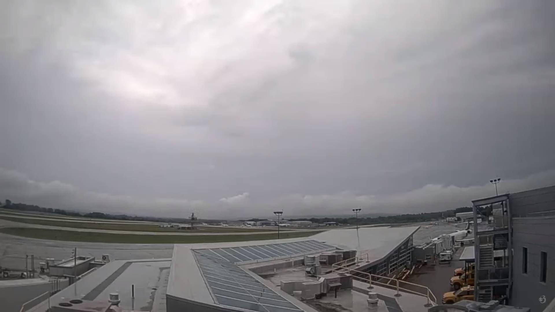
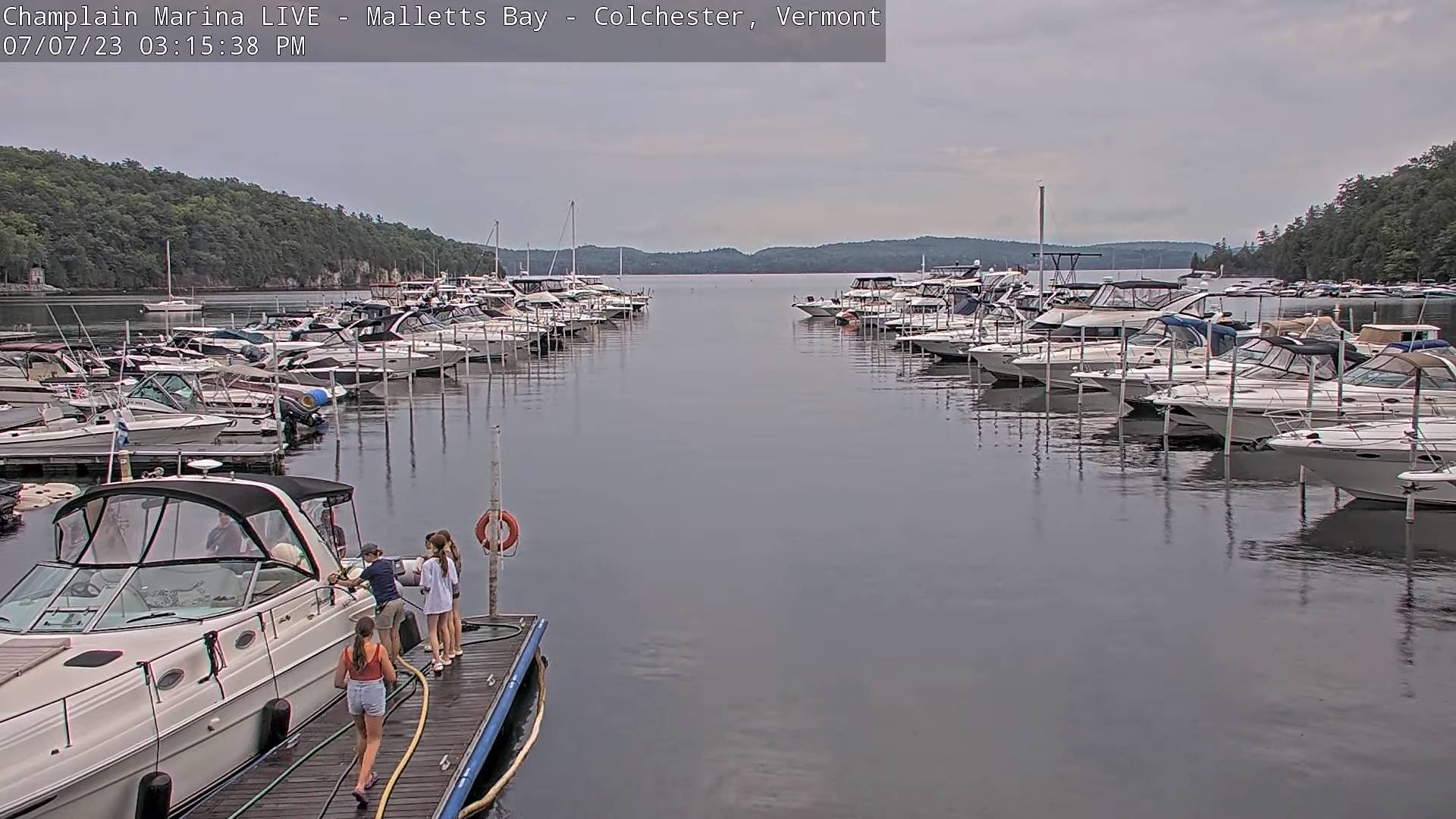
TONIGHT: Widely scattered shower & isolated thunderstorms winding down this evening, otherwise partial clearing with low clouds and fog socking things in overnight. A low mid-to upper 60s. Light winds. (Thunder Dog a 3)
TOMORROW: Morning fog, then variable mainly high cloudiness. Isolated afternoon pop-up showers & thunderstorms near the mountains. A high in the lower 80s. Little wind.
SATURDAY NIGHT: Fair with high cloudiness in the evening, before more clouds arrive overnight. Isolated showers, mainly southern & eastern areas. A low 60 to 65. Light south to southeast winds.
SUNDAY: Mainly gray. Showers becoming likely in the afternoon…moderate to heavy at times with a few rumbles of thunder. A high around 75. South breeze 10 mph.
Looking further ahead
SUNDAY NIGHT: Overcast. Chance for periods of rain or showers, moderate to heavy at times, maybe a rumble. A low about 65.
MONDAY: Overcast. Chance for rain or showers…moderate to heavy at times in the morning, maybe a rumble.A high 70 to 75.
TUESDAY: Clouds with leftover showers…giving way to periods of afternoon sun. A low 60 to 65. A high 75 to 80.
WEDNESDAY: Partly sunny. A low in the low to mid-60s. A high in the lower 80s.
Average lows 55 to 60. Average high upper 70s around 80.
Summer temps peak July 22nd
RH/7-7 forecast][end]
