TONIGHT: Mostly clear.A low near 45. Light east winds.
TOMORROW: Morning valley fog, then mostly sunny with high cloudiness developing late. A high near 70. Light southeast breeze.
Autumnal Equinox 2:49 AM
FRIDAY NIGHT: Fair with high overcast. A low in the mid-40s. Light southeast winds.
SATURDAY: High cloudiness thickening up in the afternoon. Just a little cooler. A high near 65. Light east winds.
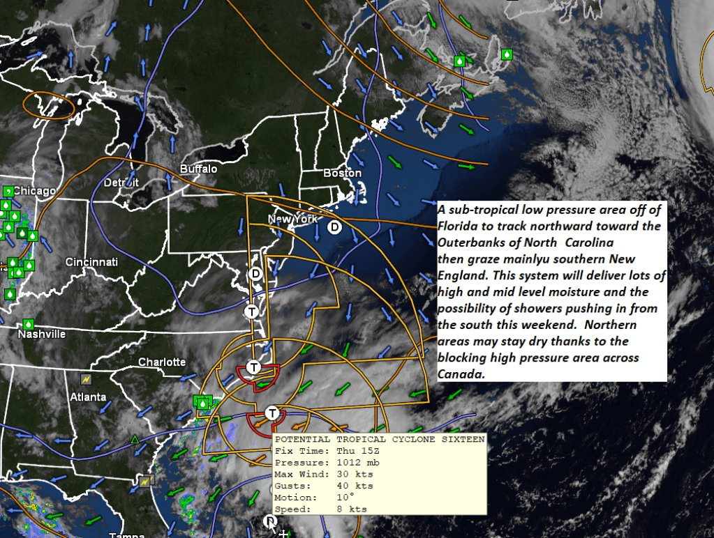
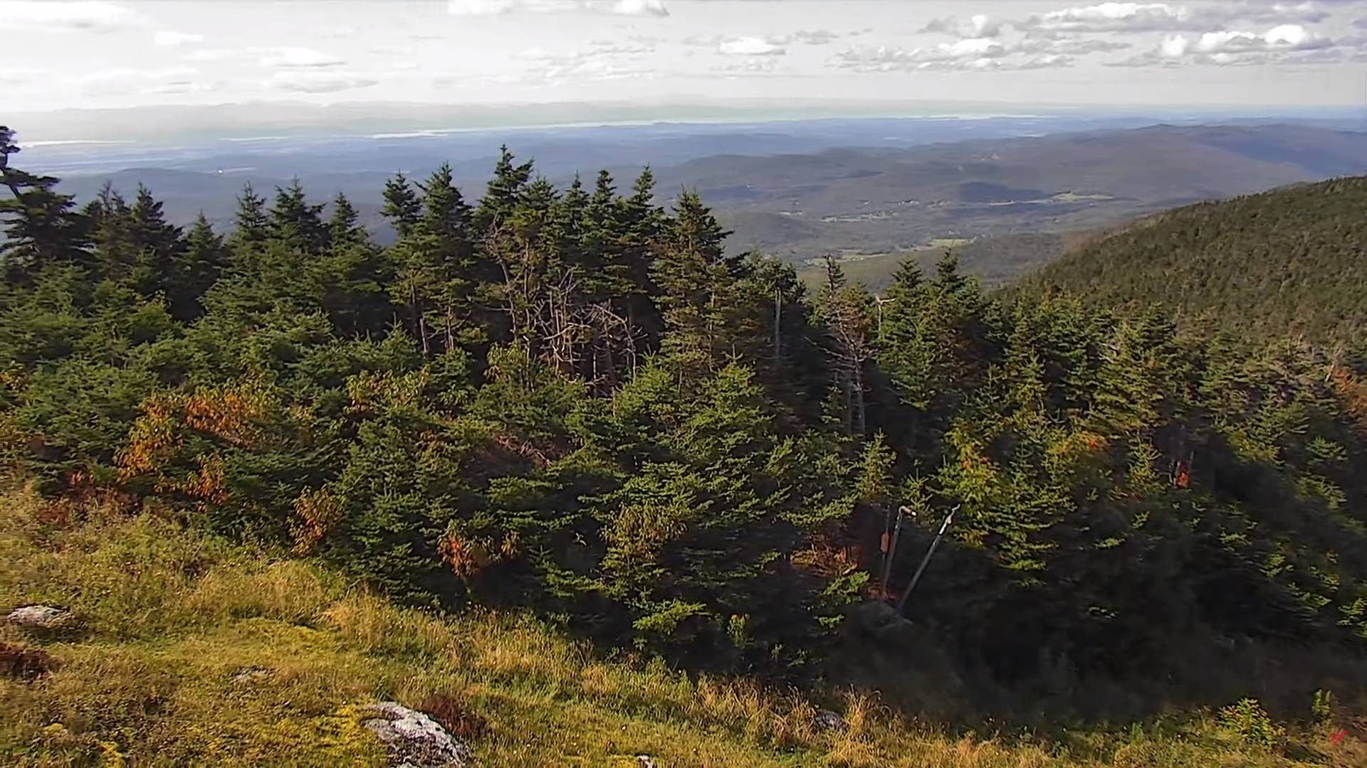
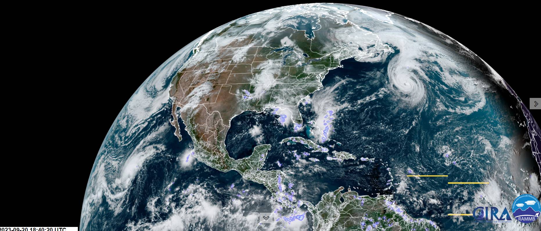
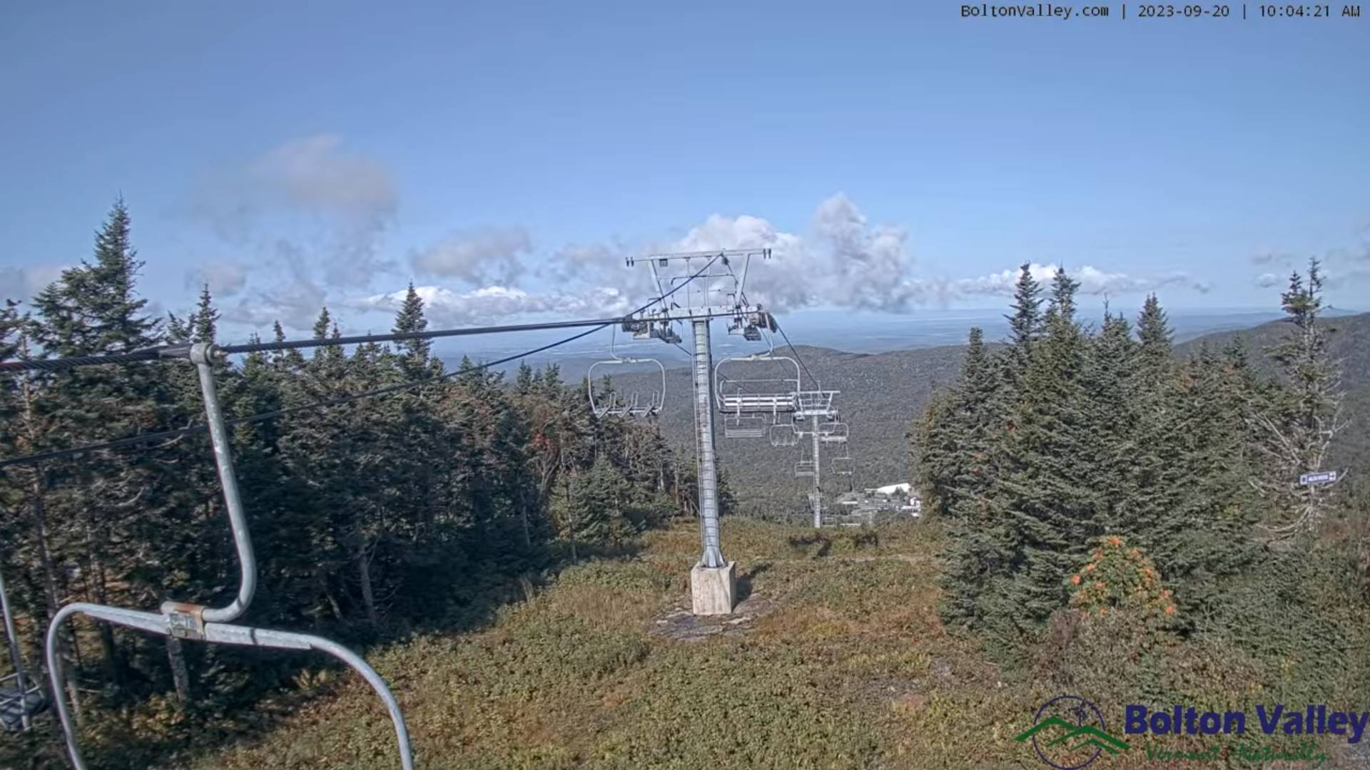
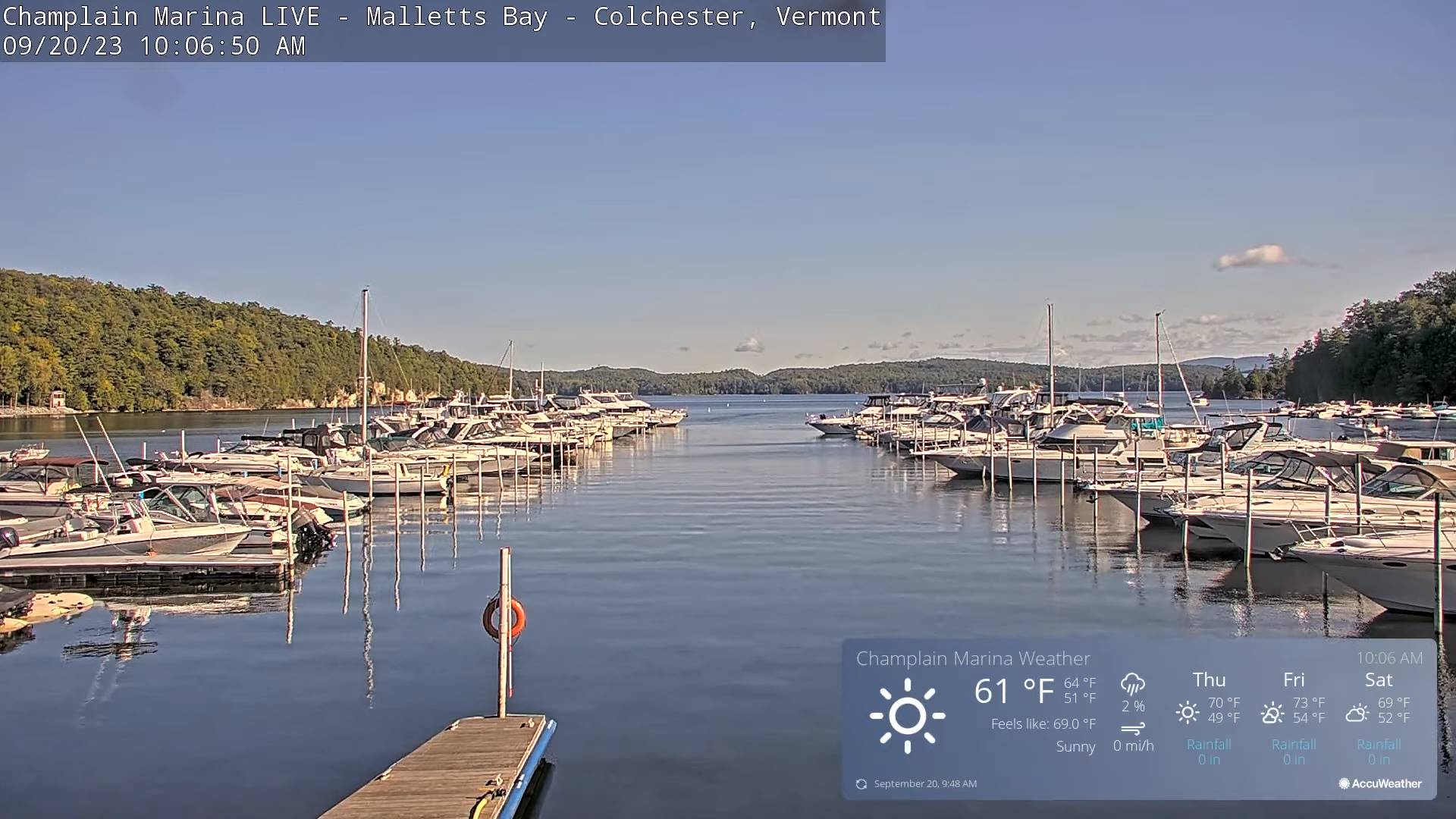
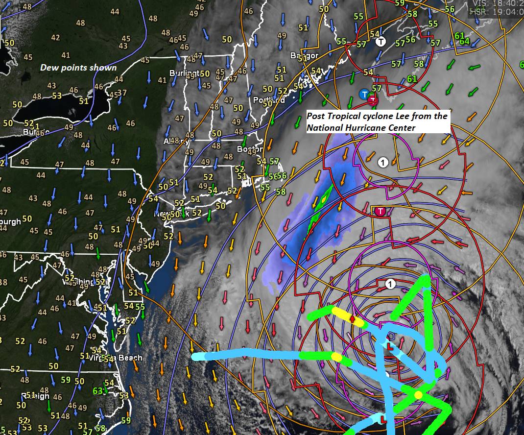
Looking further ahead
SATURDAY NIGHT: Scattered showers or sprinkles southern Vermont. A low 45 to 50
SUNDAY: Mainly cloudy. Chance for showers southern and some central areas of Vermont. A high in the upper 60s.
MONDAY: Partly sunny. Maybe an afternoon shower. A low in the mid-40s. A high near 65.
TUESDAY: Sunshine with a few afternoon clouds. A low around 45. A high 60 to 65
WEDNESDAY: Partly to mostly sunny. A low upper 30s to around 40. A high mid-60s.
Average lows in the low to mid 40s. Average highs mid to upper 60s.
RH/9-21 forecast][end]