Updated Tuesday Evening Forecast — September 5th, 2023

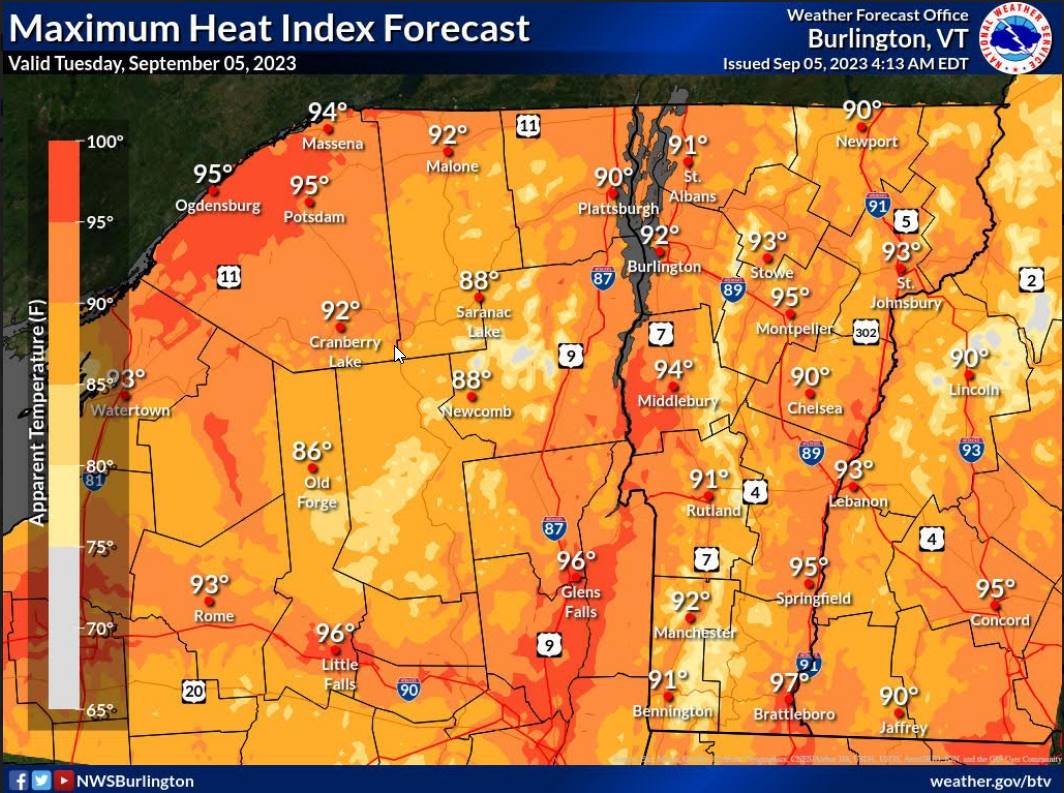
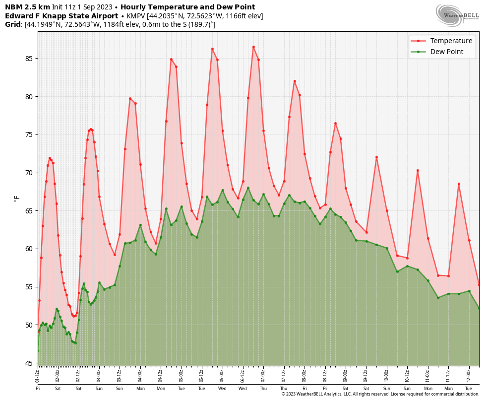
Heat Advisory thru 7 PM this evening…

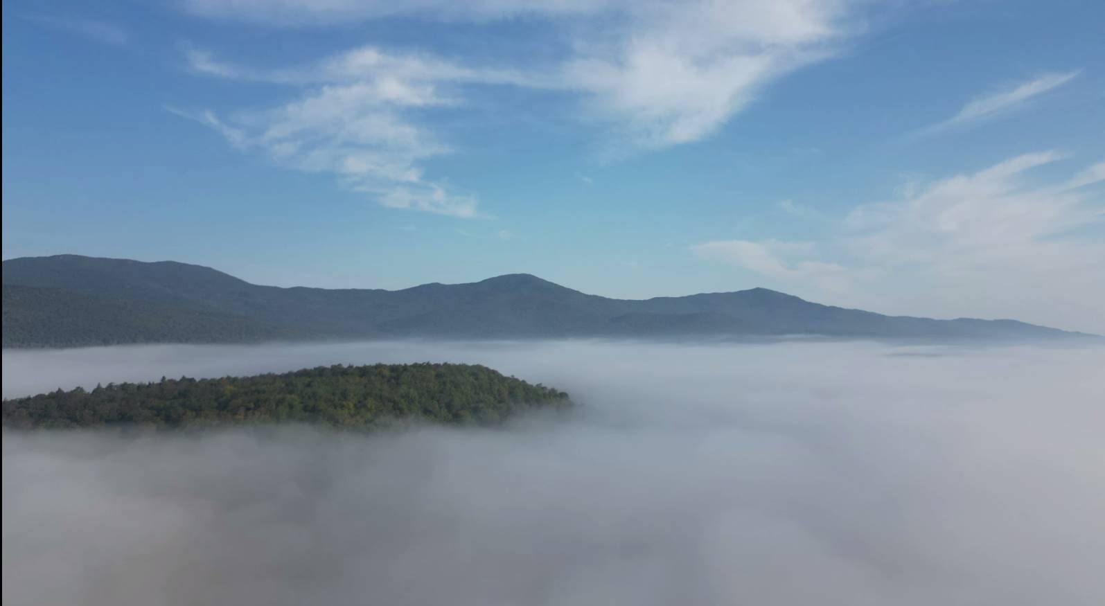
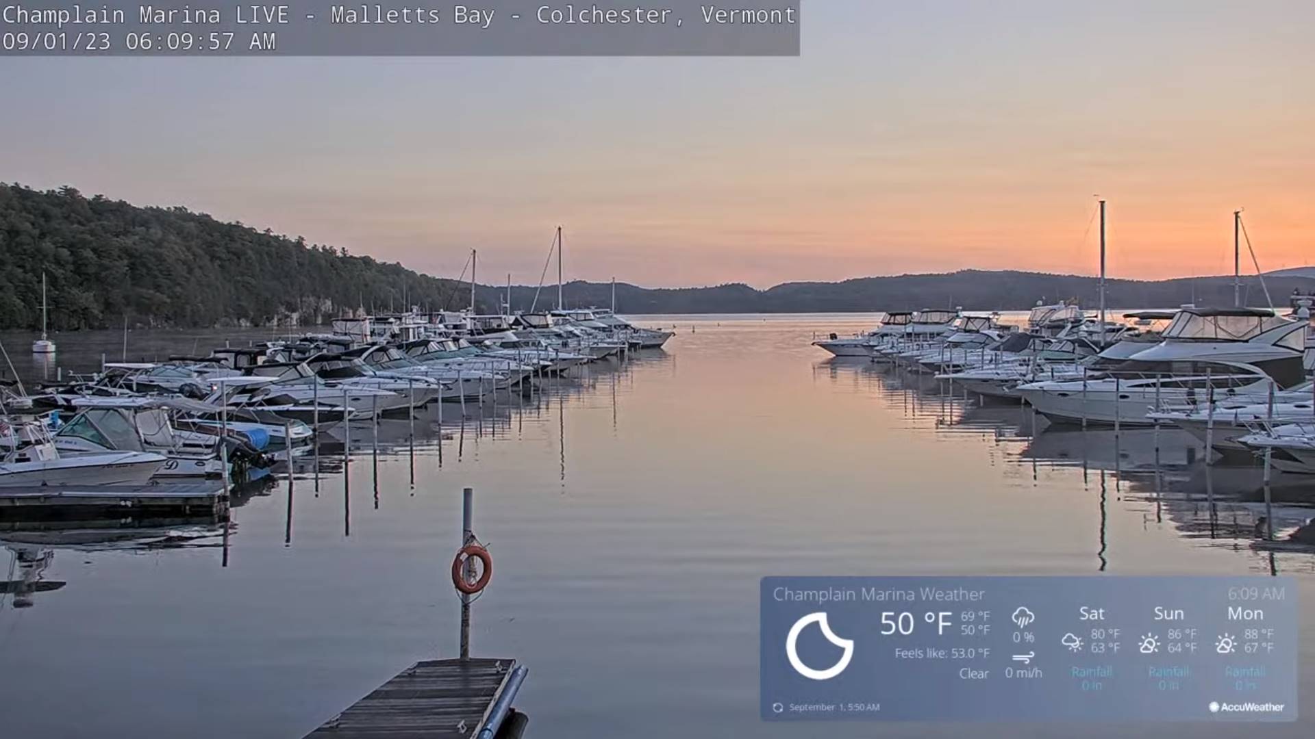
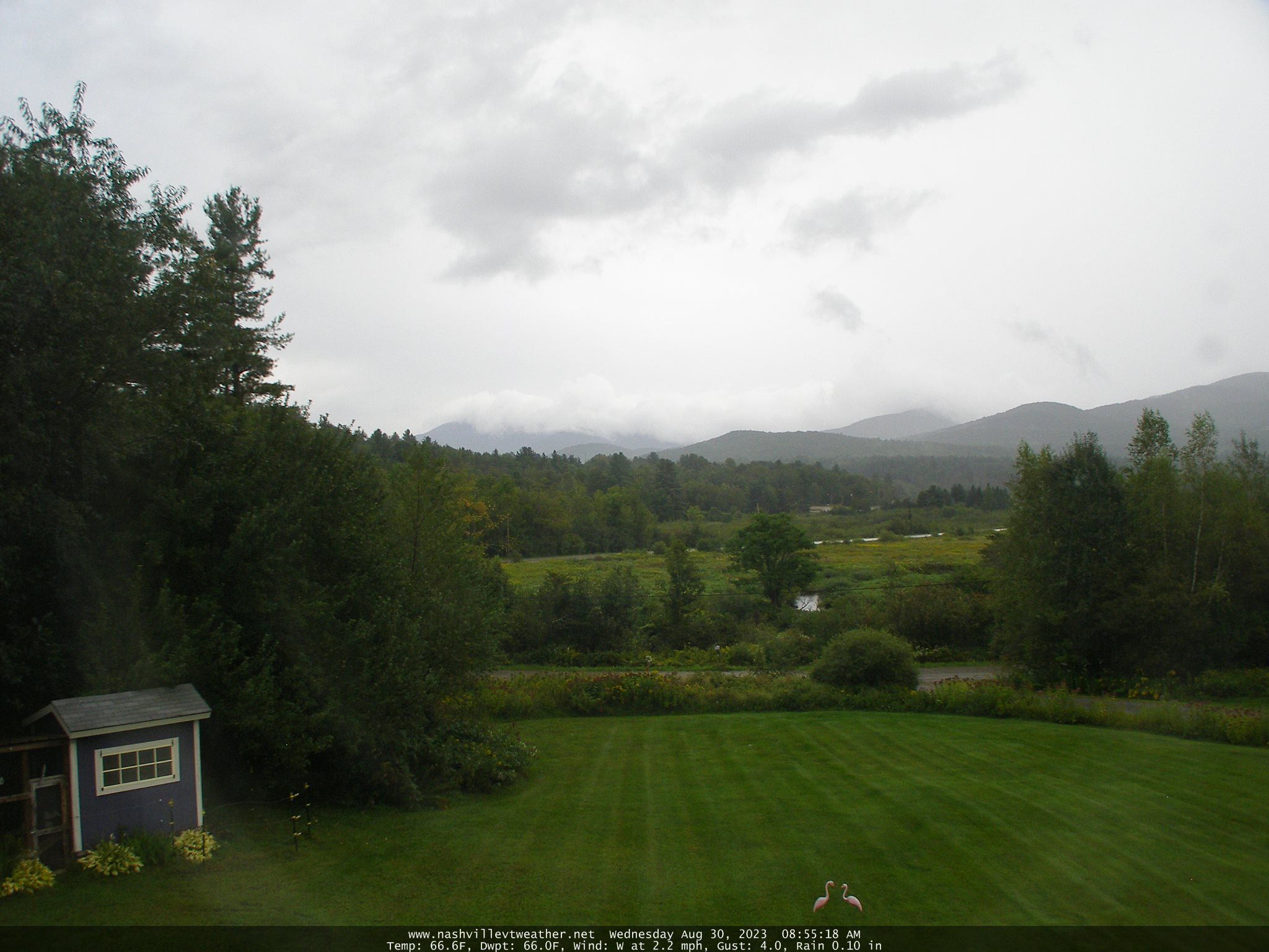
TONIGHT: Mostly clear skies with patchy valley fog. Warm and muggy. A low around 65. Little wind.

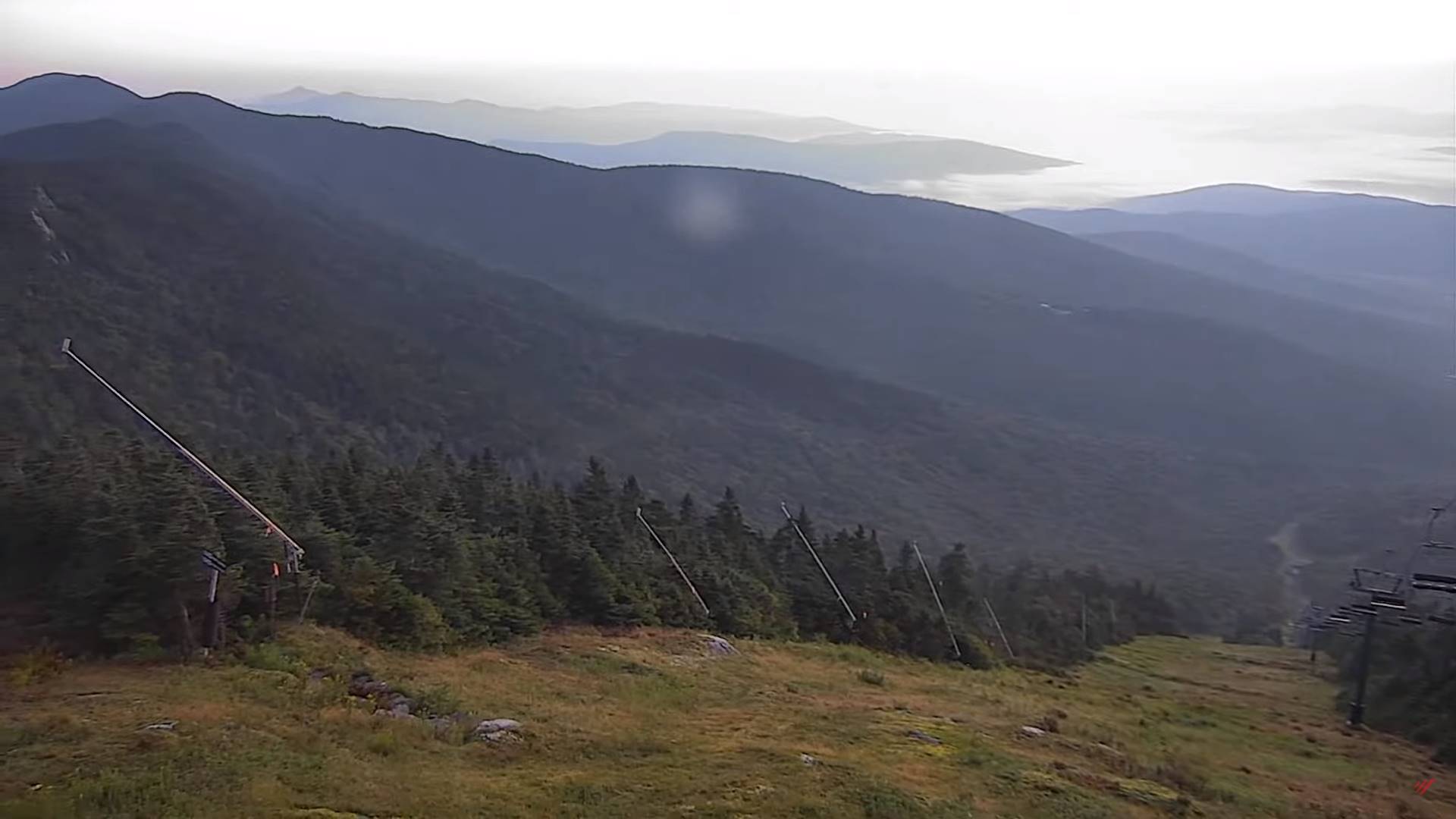
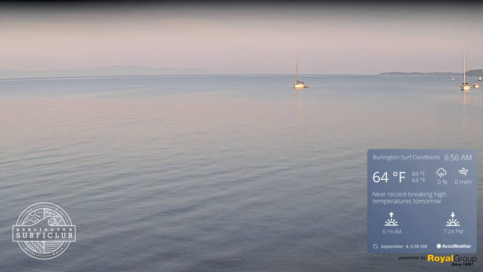
TOMORROW: Hazy sunshine after morning fog and low clouds. A high 85 to 90 with heat indices upper 80s to mid-90s. Light northwest winds.

WEDNESDAY NIGHT: Mostly clear. Patchy valley fog. Muggy. A low in the mid to upper 60s. Light winds.

THURSDAY: Partly to mostly sunny after morning fog. Widely scattered mid to late afternoon shower and thunderstorms. Warm and sultry. A high mid to upper 80s with heat indices upper 80s to mid-90s. Light southwest winds.

Looking further ahead

THURSDAY NIGHT: Cloudy periods with a chance for lingering showers and thunderstorms some moderate to heavy. A low in the upper 60s.

FRIDAY: Morning fog burns off to sunshine then afternoon clouds. Widely scattered afternoon showers and thunderstorms. Continued sticky. A high in the mid-80s. Heat indices pushing into the upper 80s to low 90s

SATURDAY: Mixed sun and clouds. Widely scattered afternoon showers and isolated thunderstorms. A low 60 to 65. A high in the low-80s.

SUNDAY: Mostly cloudy. Chance for showers and afternoon thunderstorms. A low around 65. A high low 70s.

MONDAY: Partly to mostly cloudy. Scattered showers and thunderstorms. A low in the low 60s. A high upper 60s to around 70.

Average lows mid-40s to mid-50s. Average highs in the low to mid 70s.

RH/9-5-23 forecast][end]

Updated Tuesday morning Forecast — September 5th, 2023

Heat Advisory 1 PM thru 7 PM this evening…

TODAY: Fog burns off to hazy sunshine. Warm and humid. A high mid to upper 80s with heat indices upper 80s to low 90s. Light north to northwest winds.

TONIGHT: Mostly clear skies with scattered clouds overnight. Patchy valley fog. A low around 65. Little wind.

WEDNESDAY: Partly to mostly sunny. A high 85 to 90 with heat indices pushing into the upper 80s to mid-90s. Light northwest winds.

Looking further ahead

WEDNESDAY NIGHT: Mostly clear. Patchy valley fog. A low upper 60s.

THURSDAY: Partly to mostly sunny after morning fog. A late day isolated afternoon shower or thunderstorm, western areas. Warm and sultry. A high mid to upper 80s with heat indices pushing into the upper 80s to mid-90s.

FRIDAY: Morning fog burns off to sunshine with a few afternoon clouds. Widely scattered afternoon showers and thunderstorms. Continued sticky. A low in the upper 60s. A high in the mid-80s. Heat indices pushing into the upper 80s to low 90s

SATURDAY: Mixed sun and clouds. Widely scattered afternoon showers and isolated thunderstorms. A low 60 to 65. A high in the low-80s.

SUNDAY: Mostly cloudy. Chance for showers and afternoon thunderstorms. A low around 65. A high low 70s.

MONDAY: Partly to mostly cloudy. Scattered showers and thunderstorms. A low in the low 60s. A high upper 60s to around 70.

Average lows mid-40s to mid-50s. Average highs in the low to mid 70s.

RH/9-5-23 forecast][end]

Updated Monday Morning Forecast — September 4th, 2023

TODAY: Areas of fog burns off to partly to mostly sunny skies. Warm & muggy. A high in the mid-80s with heat indices pushing to near 90. Light west breeze.

TONIGHT: Mostly clear with scattered clouds overnight. Patchy valley fog. Muggy. A low in the mid-60s. Little wind.

TUESDAY: Morning low clouds and fog, then mostly sunny hot and humid. A high in the mid-80s with heat indices upper 80s to low 90s. Light north to northwest winds.

Looking further ahead

TUESDAY NIGHT: Mostly clear skies with scattered clouds overnight. Patchy valley fog. A low around 65.

WEDNESDAY: Variable mainly high cloudiness. A high 85 to 90 with heat indices pushing into the low & mid 90s.

THURSDAY: Partly to mostly sunny after morning fog. Widely scattered afternoon showers and thunderstorms, mainly western and northern areas. Warm and sultry. A low upper 60s. A high mid to upper 80s.

FRIDAY: Morning fog burns off to mostly sunny skies then more afternoon clouds. Scattered afternoon showers and thunderstorms. Continued sticky. A low in the mid-60s. A high in the mid-80s.

SATURDAY: Mixed sun and clouds. Chance for a few afternoon showers. A low 60 to 65. A high in the low-80s.

Average lows mid-40s to mid-50s. Average highs in the low to mid 70s.

RH/9-4-23 forecast][end]

Updated Friday Evening Forecast — September 1st. 2023

TONIGHT: Clear & moonlit, with a few high clouds toward morning.Isolated valley fog. A low around 50. Light south to southwest winds.

TOMORROW: Sunshine with high cloudiness and a bit hazy, thickening up some in the afternoon. A high in the mid-70s. Southwest winds 10 mph, stronger Lake Champlain.

SATURDAY NIGHT: Fair early, then variable cloudiness. Slight chance for a shower far southern areas. A low 55 to 60. Light southwest winds.

SUNDAY: Low cloudiness gives way to partly to mostly sunny skies. A high peaking in the low 80s. Light west breeze

Looking further ahead

SUNDAY NIGHT: Mostly clear & partially moonlit. A low near 60.

MONDAY Labor Day: Sunshine mixing with afternoon clouds. Warmer and increasingly muggy. A high near 85 with heat indices pushing near 90.

TUESDAY: Mostly sunny & rather sticky. A low 60 to 65. A high mid to upper 80s with heat indices pushing into the low 90s.

WEDNESDAY: Variable mainly high cloudiness. A low around 65. A high mid to upper 80s with heat indices pushing into the low 90s.

Average lows upper 40s to mid-50s. Average highs around 75.

RH/8-31 forecast][end]

TGIF Night Weather — Brady Cast — Afternoon news service – have a great labor day weekend

TONIGHT: Clear & moonlit, with a few high clouds toward morning.Isolated valley fog. A low around 50. Light south to southwest winds.

TOMORROW: Sunshine with high cloudiness and a bit hazy, thickening up some in the afternoon. A high in the mid-70s. Southwest winds 10 mph, stronger Lake Champlain.

SATURDAY NIGHT: Fair early, then variable cloudiness. Slight chance for a shower far southern areas. A low 55 to 60. Light southwest winds.

SUNDAY: Low cloudiness gives way to partly to mostly sunny skies. A high peaking in the low 80s. Light west breeze

Updated Friday Morning Forecast — September 1st, 2023

TODAY: Sunny after morning fog but increasingly hazy with wildfire smoke aloft. A high in the low 70s. Light west winds.

TONIGHT: Clear & moonlit, with a few high clouds toward morning.Isolated valley fog. A low around 50. Light south to southwest winds.

SATURDAY: Sunshine with high cloudiness, thickening up some in the afternoon. A high in the mid-70s. Southwest winds 10 mph, stronger Lake Champlain.

Looking further ahead

SATURDAY NIGHT: Fair early, then variable cloudiness. A low 55 to 60.

SUNDAY: Partly to mostly sunny. A high peaking in the low 80s.

MONDAY Labor Day: Mostly sunny with some afternoon clouds. Warmer and increasingly muggy. A low near 60. A high near 85 with heat indices pushing near 90.

TUESDAY: Mostly sunny & rather sticky. A low 60 to 65. A high mid to upper 80s with heat indices pushing into the low 90s.

WEDNESDAY: Variable mainly high cloudiness. A low around 65. A high mid to upper 80s with heat indices pushing into the low 90s.

Average lows upper 40s to mid-50s. Average highs around 75.

RH/8-31 forecast][end]

Updated Thursday Evening Forecast — August 31st, 2023

TONIGHT: Mostly clear & fully moonlit with patchy valley fog overnight. A low mid to upper 40s. Little wind.

TOMORROW: Sunny and gorgeous after morning fog. A high 70 to 75. Light west winds.

FRIDAY NIGHT: Clear & moonlit, with a few high clouds toward morning.Isolated valley fog. A low upper 40s to around 50. Light south to southwest winds.

SATURDAY: Sunshine with high cloudiness, thickening up some in the afternoon. A high in the mid-70s. Southwest winds 10 mph, stronger Lake Champlain.

Looking further ahead

SATURDAY NIGHT: Fair early, then mostly cloudy. Chance for showers overnight. A low mid-50s.

SUNDAY: Partly to mostly sunny. A high peaking in the low 80s

MONDAY Labor Day: Mostly sunny with some afternoon clouds. Warmer and trending more humid. A low near 60. A high pushing 85.

TUESDAY: Mostly sunny & muggy. A low 60 to 65. A high mid to upper 80s.

WEDNESDAY: Variable mainly high cloudiness. A low in the low 60s. A high mid to upper 80s.

Average lows upper 40s to mid-50s. Average highs around 75.

RH/8-31 forecast][end]

Updated Thursday Morning Forecast — August 31st, 2023

TODAY: Mostly sunny with a few late afternoon clouds northern areas. Chilly and autumnal, with a high around 65. Northwest winds 10 to 15 mph.

TONIGHT: Mostly clear & fully moonlit with patchy valley fog. A low mid to upper 40s. Little wind.

FRIDAY: Sunny and gorgeous after morning fog. A high 70 to 75. Light winds.

Looking further ahead

FRIDAY NIGHT: Clear & moonlit, with a few high clouds toward morning.A low upper 40s to around 50.

SATURDAY: Sunshine with high cloudiness, thickening up late. A high in the mid-70s.

SATURDAY NIGHT: Fair early, then mostly cloudy. Chance for showers overnight. A low mid to upper 50s.

SUNDAY: Morning cloudiness exits to lots of sunshine. A high around 80.

MONDAY Labor Day: Mostly sunny, warmer and trending more humid. A low near 60. A high 80 to 85.

TUESDAY: Mostly sunny & muggy. A low 60 to 65. A high near 85.

WEDNESDAY: Variable mainly high cloudiness. A low in the low 60s. A high around 85.

Average lows upper 40s to mid-50s. Average highs around 75.

RH/8-31 forecast][end]

Updated Wednesday Evening Forecast — August 30th, 2023

Full “Blue Moon” 9:38 PM

TONIGHT: Evening clouds with a few leftover showers exits to partially moonlit skies, a little blustery cooler and less humid. Isolated valley fog. A low 50 to 55. Northwest winds mainly this evening 10 to 20 mph, falling off overnight.

TOMORROW: Mostly sunny with a few late afternoon clouds. A touch of autumn in the air with a high around 65. Northwest winds 10 to 15 mph.

THURSDAY NIGHT: Mostly clear & fully moonlit with patchy valley fog. A low 45 to 50. Little wind.

FRIDAY: Sunny and gorgeous after morning fog. A high in the low 70s. Light winds.

Looking further ahead

FRIDAY NIGHT: Clear & moonlit, with a few high clouds toward morning.A low upper 40s to around 50.

SATURDAY: Sunshine with some high cloudiness. A high in the mid to upper 70s.

SATURDAY NIGHT: Fair early, then mostly cloudy. Chance for showers overnight. A low in the mid-50s.

SUNDAY: Morning cloudiness exits to lots of sunshine. A high around 80.

MONDAY Labor Day: Mostly sunny, warmer and more humid. A low in the upper 50s. A high 80 to 85.

TUESDAY: Mostly sunny & muggy. A low 60 to 65. A high in the low to mid 80s.

Average lows upper 40s to mid-50s. Average highs around 75.

RH/8-30 forecast][end]

Updated Wednesday Morning Forecast — August 30th, 2023

TODAY: Considerable cloudiness. Showers…moderate to heavy for a time this morning with a possible rumble of thunder. A lull late this morning into the early afternoon before a flare-up or few more showers with a possible gusty thunderstorm northern areas mid to late afternoon. A high in the low 70s. Light winds becoming west to northwesterly 10 to 15 mph in the afternoon.

Full “Blue Moon” 9:38 PM

TONIGHT: Evening clouds with a few leftover showers exiting to partial clearing and becoming fully moon-lit, less humid blustery and cooler. Isolated valley fog. A low in the upper 40s. A gusty northwest wind developing 10 to 20 mph.

THURSDAY: Mostly sunny with a few late afternoon clouds. A touch of autumn in the air with a high in the mid-60s. Northwest winds 10 to 15 mph.

Looking further ahead

THURSDAY NIGHT: Mostly clear & fully moonlit with patchy valley fog. A low around 45.

FRIDAY: Sunny and gorgeous after morning fog. A high in the low to mid 70s.

SATURDAY: Sunshine filtered thru high clouds thickening up late leading to a chance for showers Saturday night. A low around 50. A high in the mid to upper 70s.

SUNDAY: Morning clouds, then mostly sunny. A low in the mid-50s. A high around 80.

MONDAY Labor Day: Mostly sunny, warmer and more humid. A low in the upper 50s. A high 80 to 85.

TUESDAY: Mostly sunny & muggy. A low 60 to 65. A high in the low to mid 80s.

Average lows upper 40s to mid-50s. Average highs around 75.

RH/8-30 forecast][end]