-
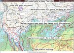
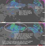
- image0016
-
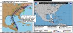
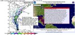
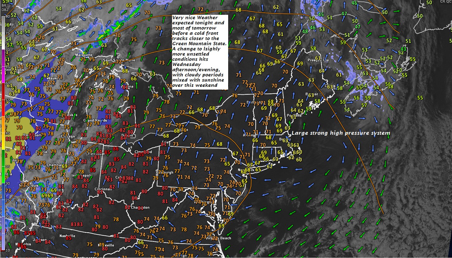
- image0024
-
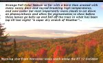
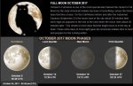
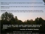
- image0034
-
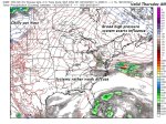
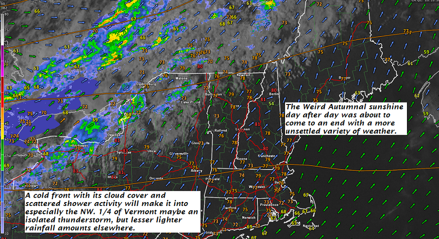
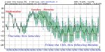
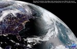
- image0043
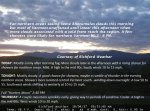
TODAY: Morning fog and low clouds giving way to increasing afternoon sunshine.
A high in the low 70s. Northwest breeze picks up to 10 to occasionally 20 mph.
TONIGHT: Mostly clear this evening giving way to increasing clouds after midnight. Patchy valley fog developing. A low in the upper 40s. Light northwest winds.
WEDNESDAY: Considerable cloudiness. Widely scattered sprinkles south of the Barre-Montpelier area in the morning. Chilly with a high near 55. North winds 10 to 15 mph.
Looking further ahead…
WEDNESDAY NIGHT: Variable clouds. Considerable valley fog. Near seasonable lows 35 to 40.
THURSDAY: Morning fog, then bright sunshine and blue skies. A high around 60.
FRIDAY: Morning fog then mostly sunny. A low 35 to 40. A high in the lower 60s.
SATURDAY: Lots of clouds. Chance for a few showers northern areas. A low around 50. A high in the mid 60s.
SUNDAY: Lots of clouds northern areas with a chance for showers. Partly sunny south of the Barre- Montpelier area. A low around 55. A high in the low to mid 60s.
Average low 35 to 40. Normal highs mid to upper 50s.
RH/10-10 [end]
| Virus-free. www.avast.com |