
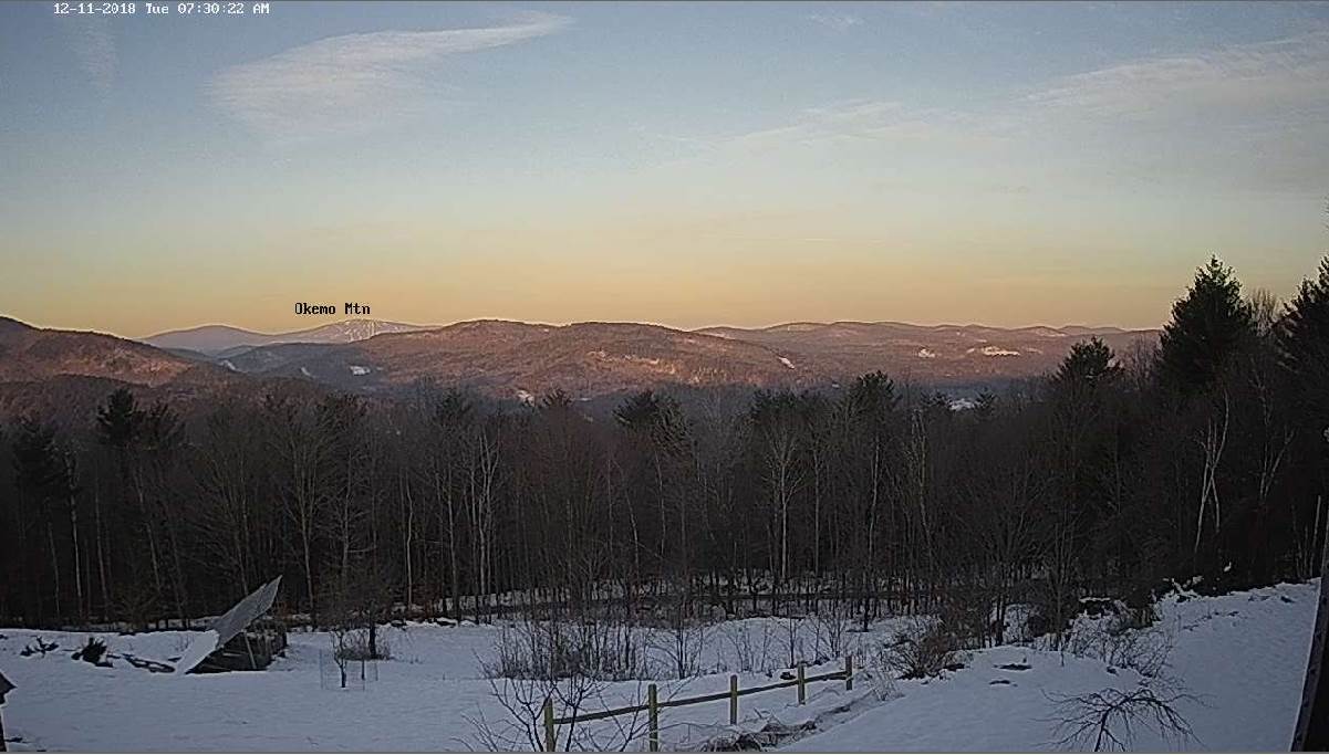
TODAY: Sunshine mixed with more clouds late. A high in the low to mid 20s. Light south winds.
TONIGHT: Mostly cloudy. Flurries with a few mountain snow showers developing especially overnight. A dusting to a fluffy inch especially northern areas. A low in the lower teens. Light northwest winds.
WEDNESDAY: A few stray flurries near the mountains, otherwise morning clouds give way to periods of afternoon sunshine. Cold with a high in the mid teens. Northwest winds 10 to 15 mph.
Looking further ahead…
WEDNESDAY NIGHT: Clear and frigid. A low ranging from zero, to 20 below cold spots.
THURSDAY: Sunshine and blue skies after a frigid start. A high near 20.
FRIDAY: Partly to mostly sunny through midafternoon, then increasing and thickening clouds. Turning milder. A low 5 to 15. A high mid 30s to around 40.
SATURDAY: Lots of clouds. Chance for light rain, or rain showers mixed with wet snow flakes in the mountains. Possible slick travel early. A leftover sprinkle or two in the afternoon. A low 32 to 35. A high around 40.
SUNDAY: Mainly cloudy. Chance for few rain showers mixed with wet snow flakes northern areas. A low around 32. A high 35 to 40 northern areas 40 to 45 across southern valleys.
Average lows mid teens to around 20. Average highs ranging 30 to 35
RH/12-11[end]
