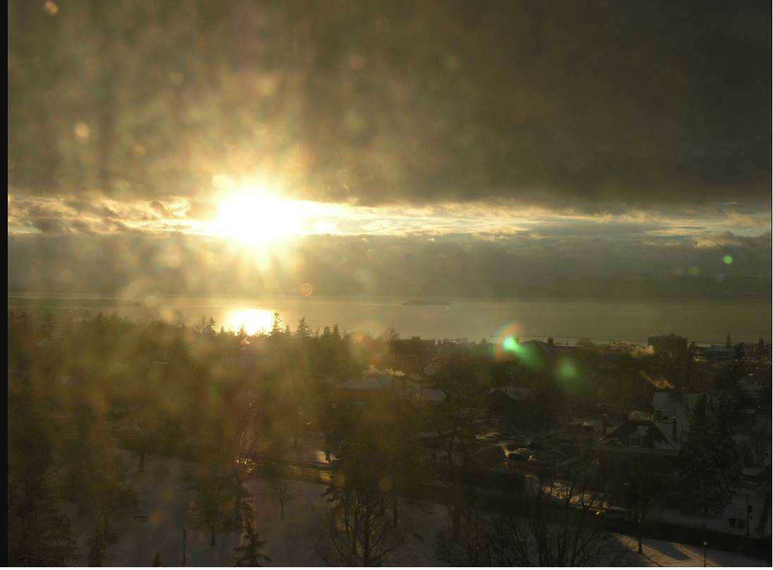
TODAY: “Scattered northern mountain flurries this morning,” then more sun than clouds this afternoon with cold wind chills. Temperatures holding in the single digits. Northwest winds 10 to 20 mph.
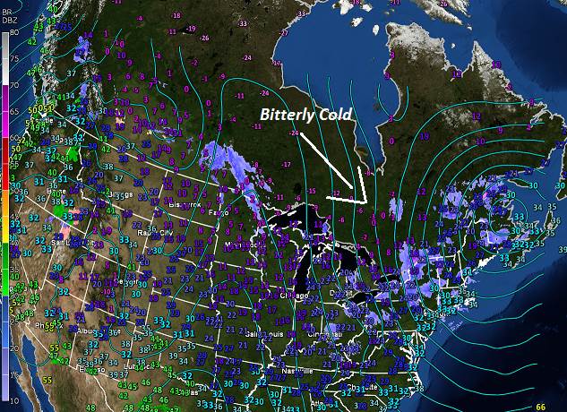
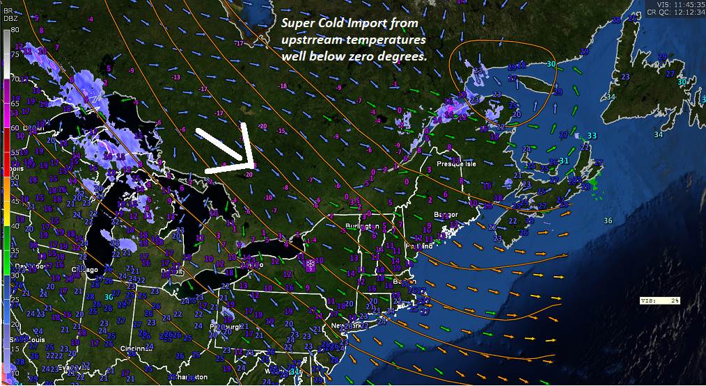
TONIGHT: A few clouds but mostly clear and frigid. A low 0 to 10 below. Light northwest wind.
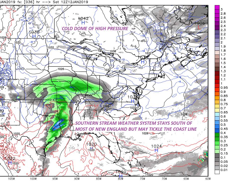
SATURDAY: Few clouds early, then mostly sunny with high cloudiness southern areas late. A high around 5 to 10 above. Northwest winds 10 mph.
Looking further Ahead…
SATURDAY NIGHT: Scattered clouds then, clear and starlit. Bitter cold. A low minus 5 to minus 20 in colder hollows.
SUNDAY: Sunny, but well below normal in temperature. A high 5 to 10 above.
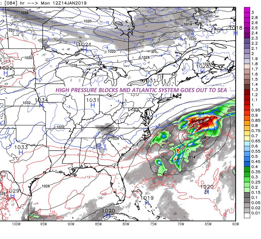
MONDAY: Bright sunshine and blue skies after frigid morning. A low 5 above to 15 below. A high mid teens to around 20.
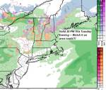
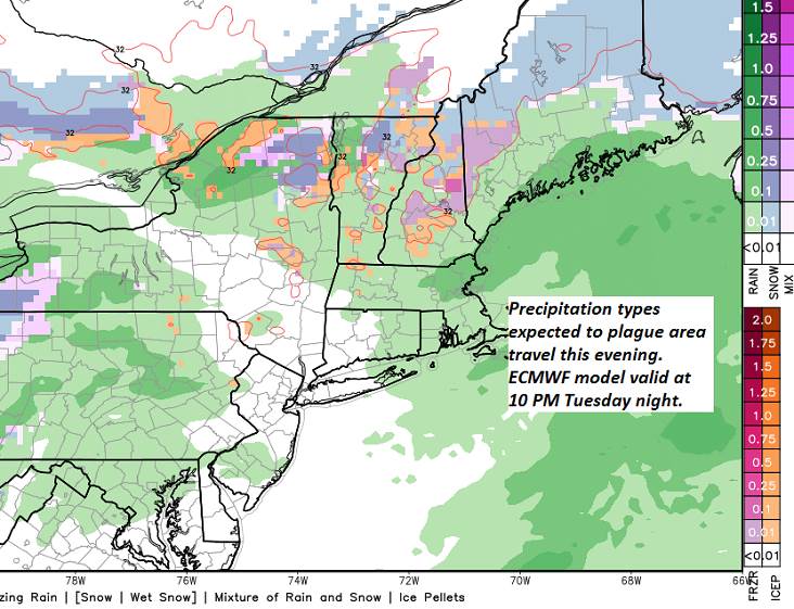
TUESDAY: Morning sun, then mostly cloudy. Rising chance for flurries far northern areas late. A low near zero degrees. A high mid 20s to near 30.
WEDNESDAY: Cloudy and gray. Periods of light accumulating snow showers & flurries. A low upper teens to mid 20s. A high around 30.
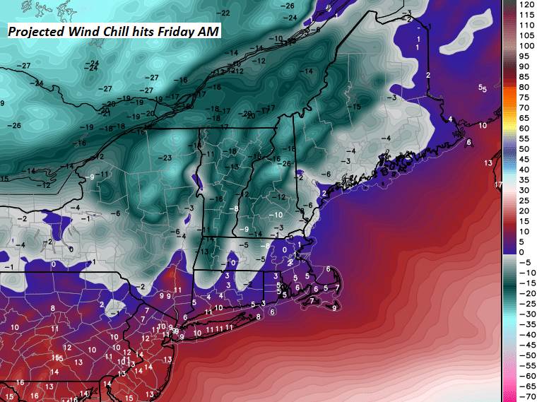
THURSDAY: Morning snow showers or flurries exiting to increasing sunshine. Blustery and colder. A low in the single digits. A high in the teens.
Average lows single digits. Average highs in the 20s.
RH/1-11-19[end]