
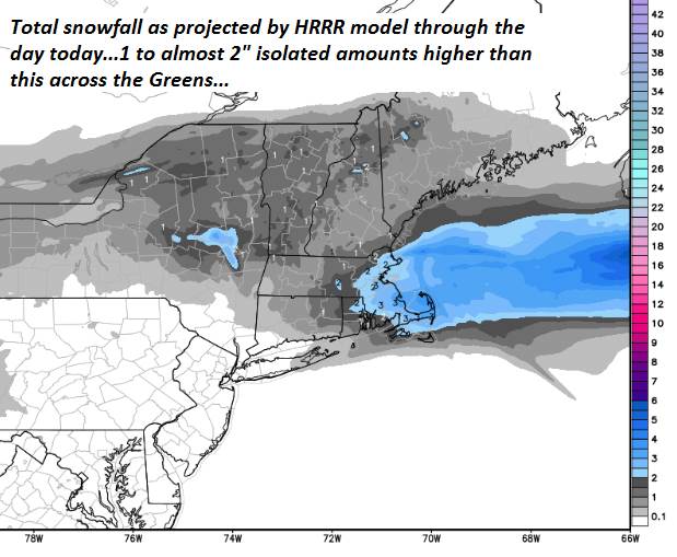
TODAY: Gray with periods of light snow tapering to scattered flurries later this afternoon before exiting. Accumulation of 1 to about 2”. Partial late day clearing developing. A high mid to upper teens. Light north winds.
TONIGHT: Early evening clouds clearing to fully moonlit skies. Colder.A low 5 above to 5 below. Northwest winds 10 mph lowering wind chills.
Full snow Moon 10:53 AM
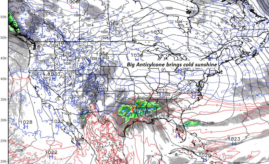
TUESDAY: Sunny but colder. A high 10 to 15. Northwest winds 10 mph.
Looking further ahead…
TUESDAY NIGHT: Partially moonlit with increasing high cloudiness.A low ranging 5 above to 10 below
WEDNESDAY: Partial morning sun through high cloudiness become gray in the afternoon. A high upper teens northern areas to mid 20s.
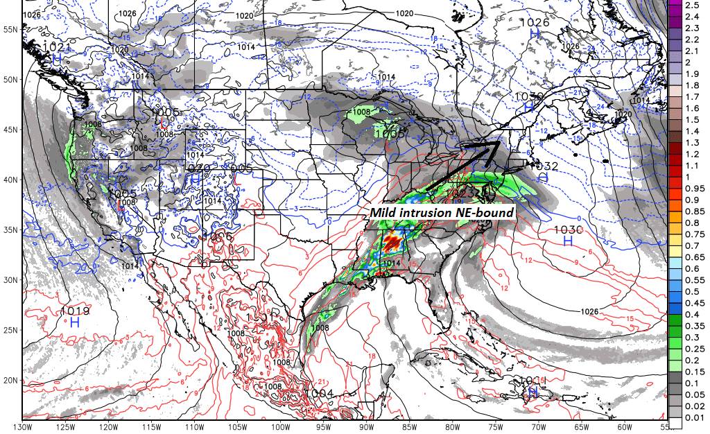
THURSDAY: Gray. Chance for accumulating snow or mixed rain in the afternoon. Slippery travel. A low in the mid teens to mid 20s. Temperatures peaking in the mid 30s to low 40s.
FRIDAY: Mostly sunny and seasonal in temperature. A low 20 to 25. A high 30 to 32.
SATURDAY: High clouds thickening up in the afternoon. A low in the teens. A high in the 30s.
Average lows upper single digits to mid teens. Average highs in the upper 20s to mid 30s.
RH/2-18-19[end]
Roger Hill
Weatheringheights Consulting
186 MacKenzie Dr.
Worcester Vermont 05682
802 224 0456 work
802 522 3644 cell
