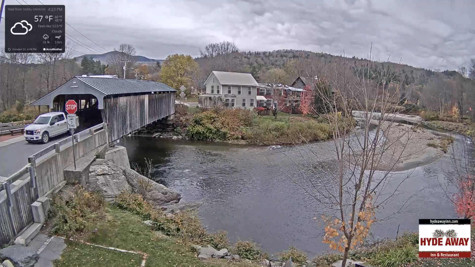
TONIGHT: Chance for a sprinkle northern areas, otherwise variable cloudiness. A low about 40. Light west winds.
TOMORROW: Considerable cloudiness. Chance for light showers southern areas late. A high in the lower 50s. Light west winds.
FRIDAY NIGHT: Showers likely developing in the evening, tapering off late overnight, otherwise lots of clouds. A low around 35. Light northwest winds.
SATURDAY: Mixed clouds and sun. Cooler. A high around 50. Northwest breeze 10 mph.
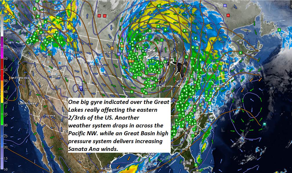
Looking further ahead…
SATURDAY NIGHT: Fair early then thickening clouds. Rising chance for showers toward daybreak. A low mid to upper 30s.
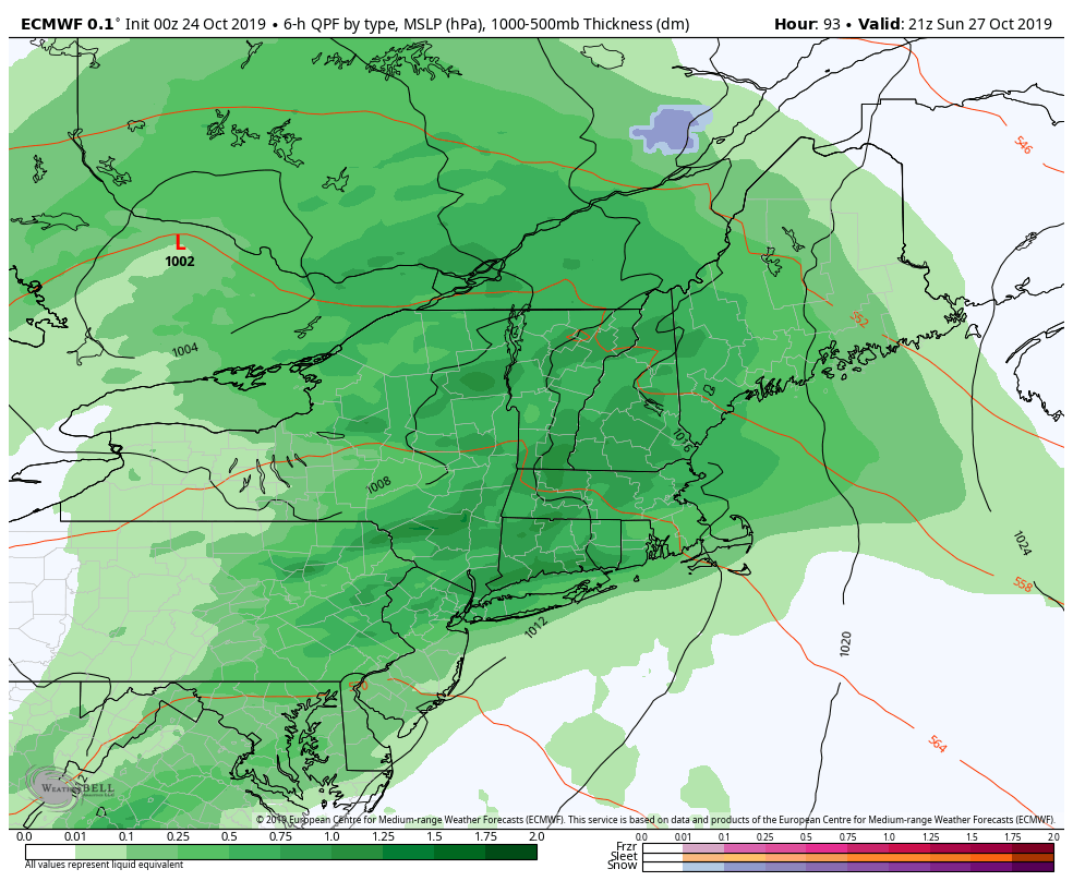
SUNDAY: Gray and breezy at times. Good chance for rain, possibly moderate at times. A high upper 40s.
MONDAY: Chance for a few rain showers toward the Champlain Valley, then partial afternoon clearing.A low in the mid 40s. A high in the mid 50s.
TUESDAY: Mostly cloudy. Chance for a shower. A low 45. A high around 55.
Average lows 30 to 35. Average highs 50 to 55.
RH/10-24-19[end]