
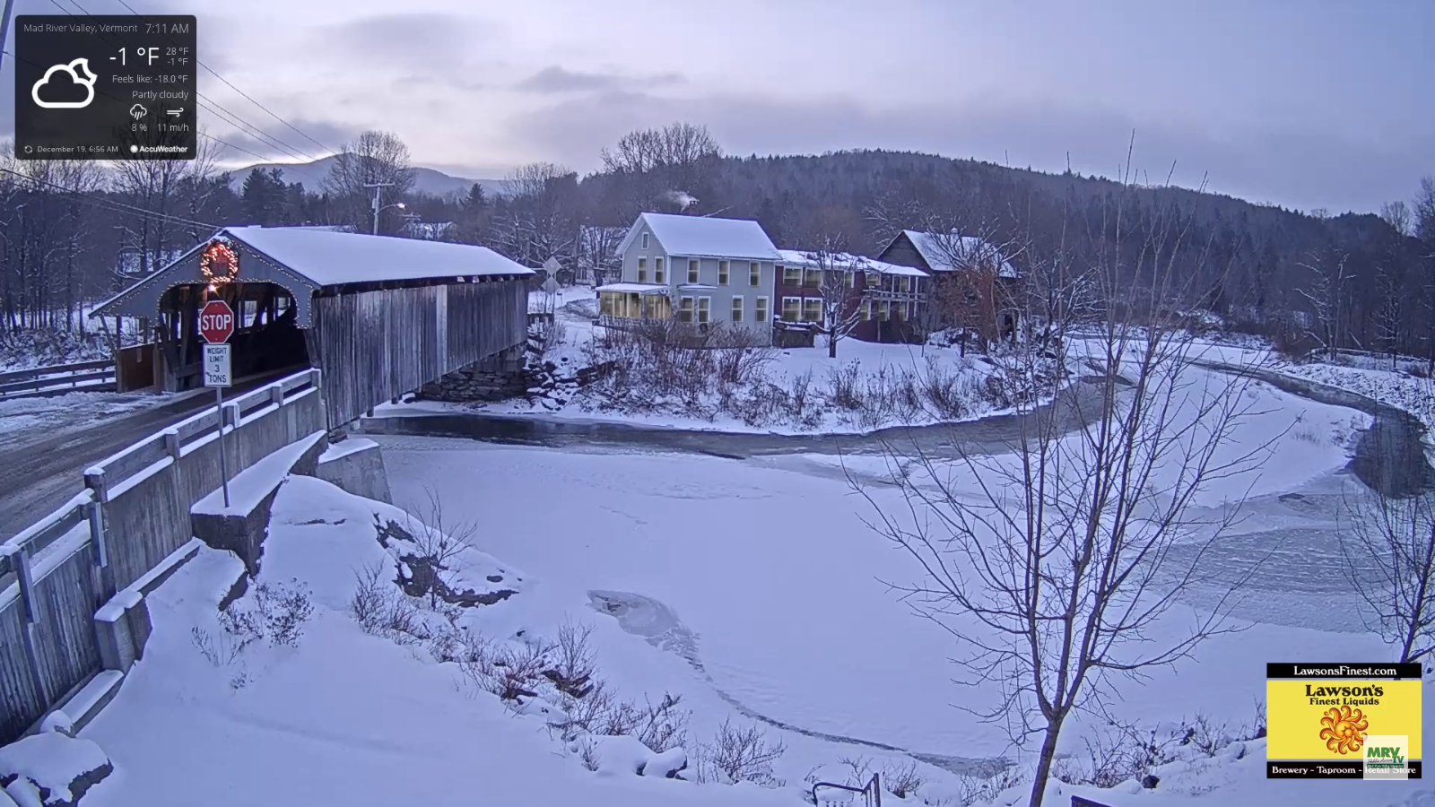
Wind Chill Advisory expires at 10 AM…
TODAY: A few morning flurries Northeast Kingdom exiting followed by partly sunny skies north, and mostly sunny Barre-Montpelier area south. Cold and blustery with lowered wind chills. A high around 15. Northwest winds 10 to 20 mph.
TONIGHT: A few cloudy periods northern areas, otherwise mostly clear. “Diamond dust flurry” A low 5 below to 5 above. Northwest winds 10 mph.
FRIDAY: Morning clouds and diamond dust flurries, then mostly sunny & frigid. A high 10 to 15. Light northwest winds.
Looking further ahead…
FRIDAY NIGHT: Mostly clear in the evening with few more clouds overnight. A low 10 below to 5 above.
Winter Solstice 11:19 PM Saturday evening
SATURDAY: Mixed clouds and sun. Frigid start. Beginning of a warming trend. A high in the mid 20s.
SUNDAY: Partly to mostly sunny. A low 10 to 15. A high 35 to 40.
MONDAY: Partly cloudy northern areas otherwise lots of sunshine. A low 10 to 15. A high 40 to 45.
TUESDAY CHRISTMAS EVE DAY: Partly sunny with more clouds late. A low in the 20s. A high in the 30s.
Average lows ranging through upper single digits to mid teens, average highs 30 to 35.
RH/12-19-19[end]
