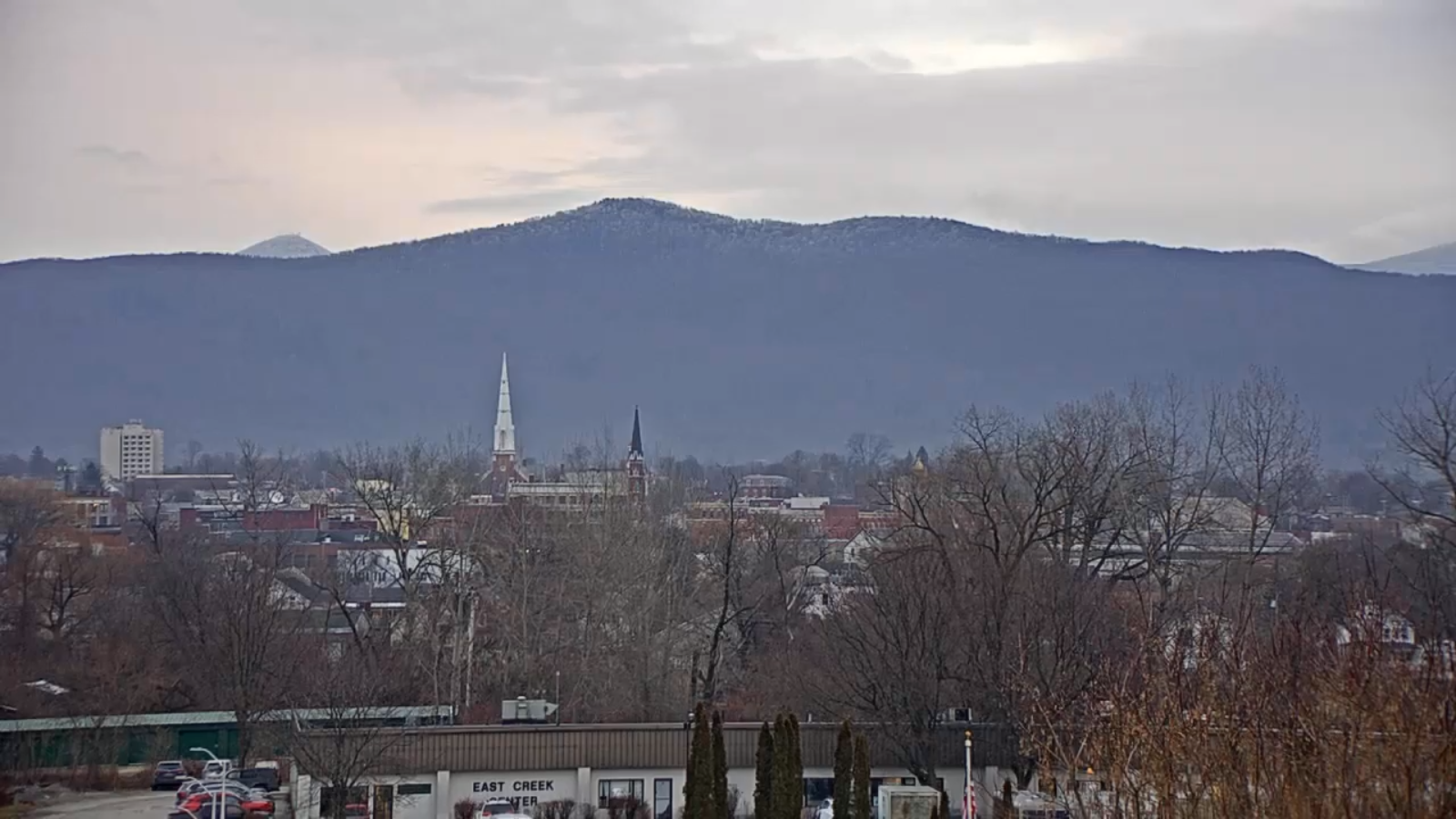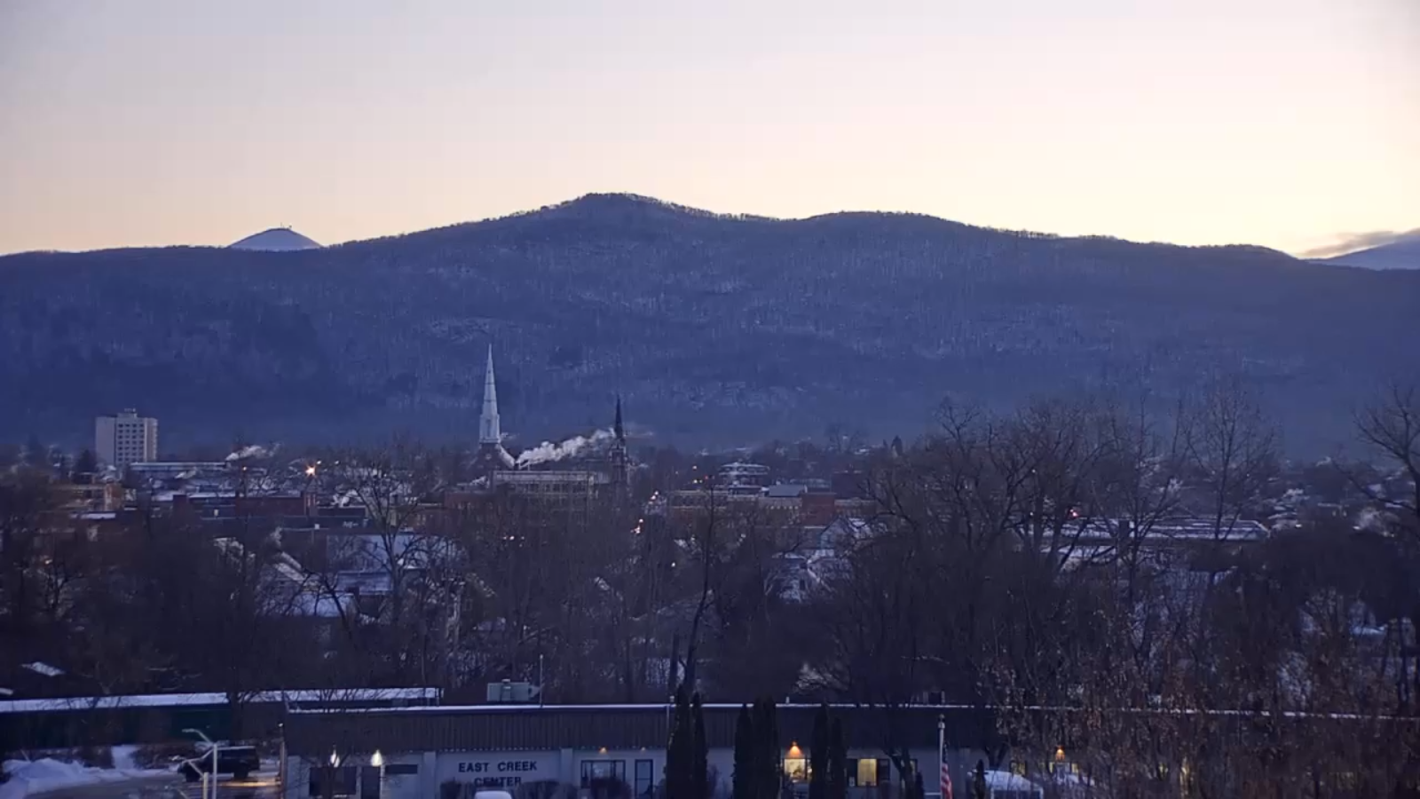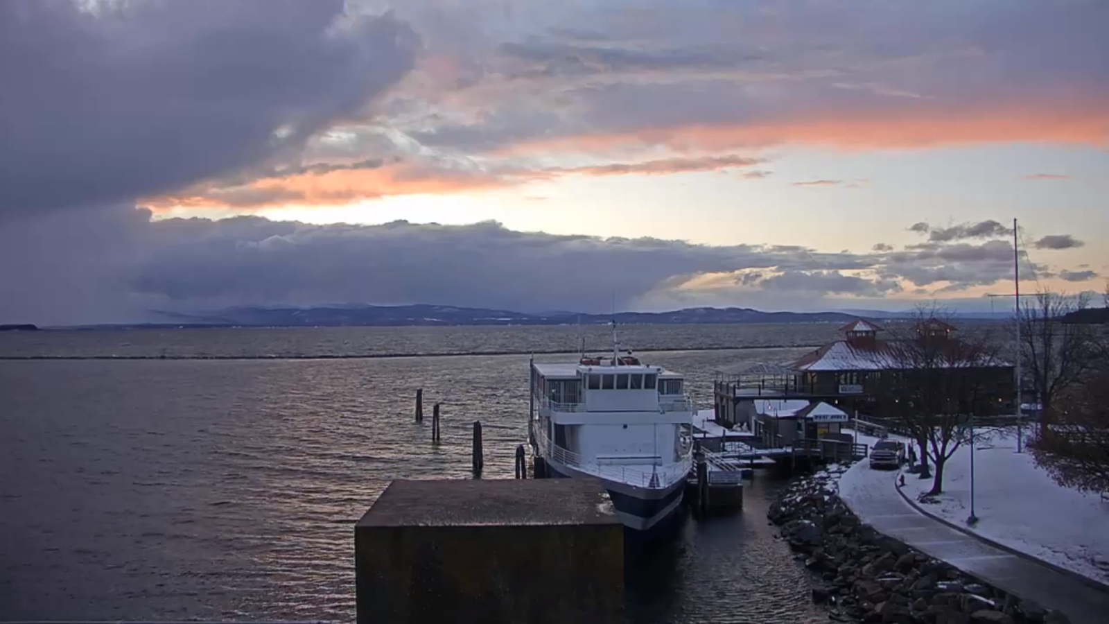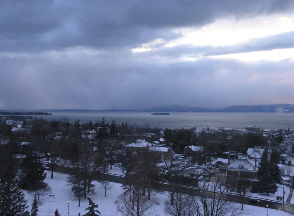
TODAY: Occasional lingering flurries & valley sprinkles Barre-Montpelier area north for time this morning. Otherwise clouds with a break or two of sun…maybe. A high in the mid-30s. Northwest winds 10 to 15 mph.
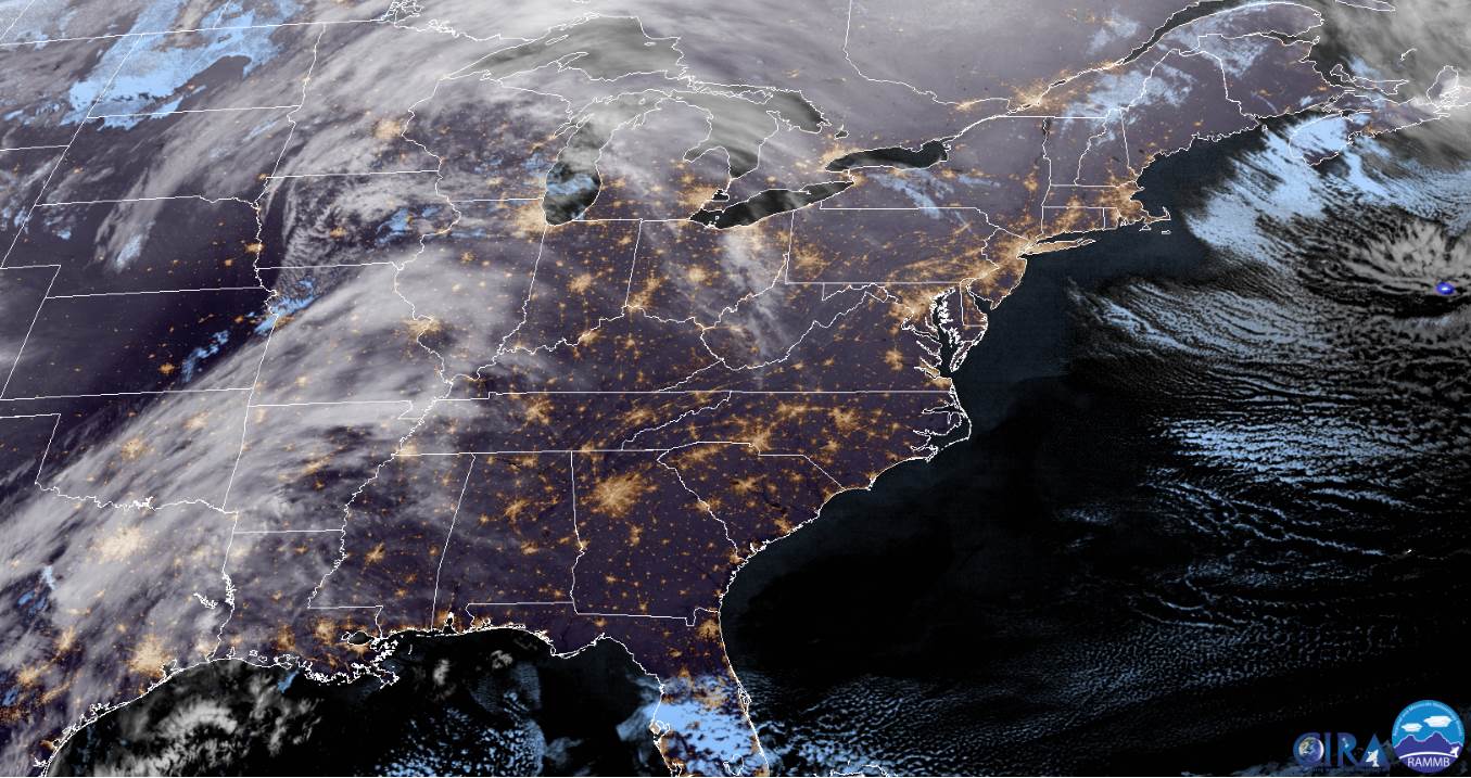
Winter Storm Warning N. Green Mountains…Winter Weather Advisory elsewhere late this evening into Thursday Evening…
TONIGHT: Thickening clouds. Snow developing around midnight…moderate at times. Accumulation 2 to 4”. A low around 20. Light southeast winds.
THURSDAY: Gray. Accumulating snow…moderate to briefly heavy. Several inches likely…tapering to scattered snow showers and flurries in the afternoon. Blustery and sharply colder with some blowing and drifting. Temperatures falling through the 20s. Northwest winds 10 to 25 mph.
Looking further ahead…
THURSDAY NIGHT: Partly to mostly cloudy. Scattered mountain flurries drying up. Frigid. A low 5 above to 5 below.
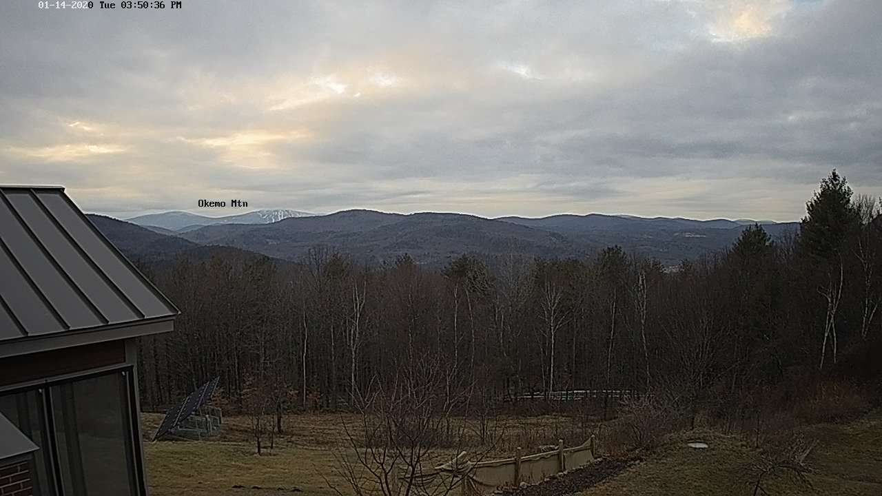
FRIDAY: More clouds than sun after a stray morning flurry. A high 10 to 15.
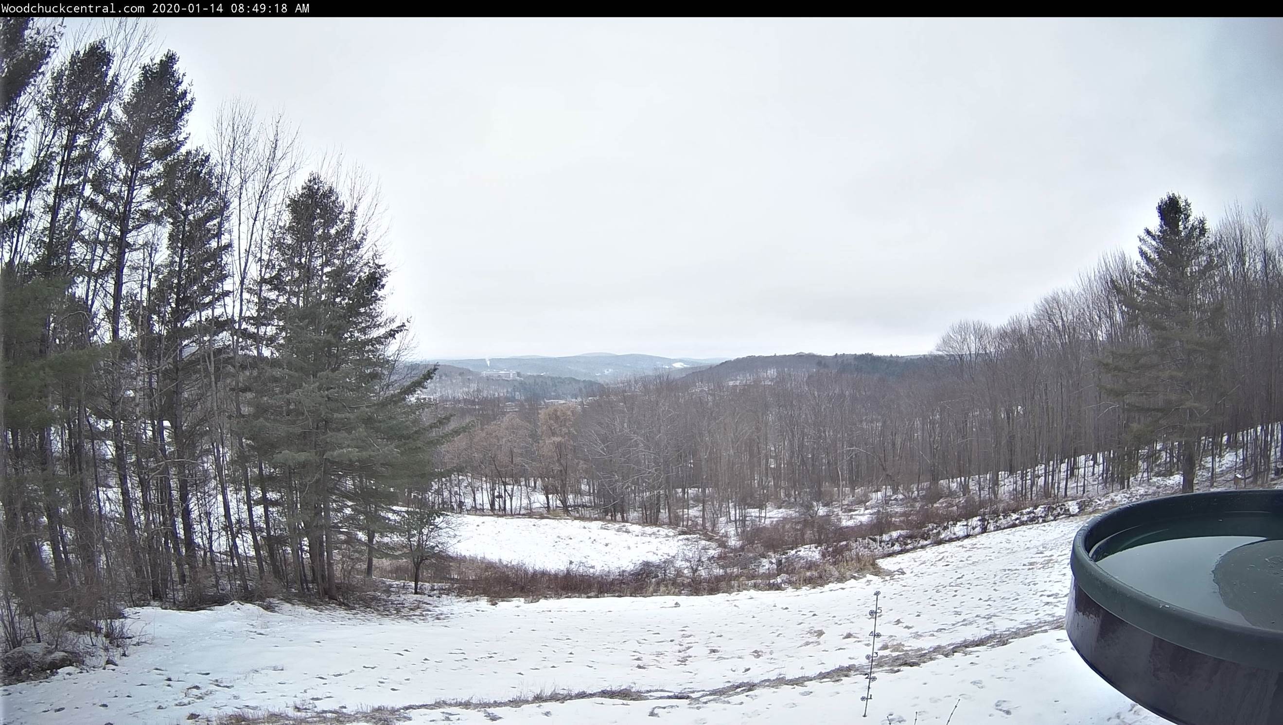
SATURDAY: Brief morning sunshine, then thickening clouds, leading to a chance for accumulating snow developing late. A morning low zero to 10 below. A high in the mid to upper teens.
SUNDAY: Gray. Chance for significant snowfall…tapering to flurries and blustery. Temperatures in the 20s.
Average lows mid-single digits to 10 above, average highs in the 20s.
RH/1-14-20[end]