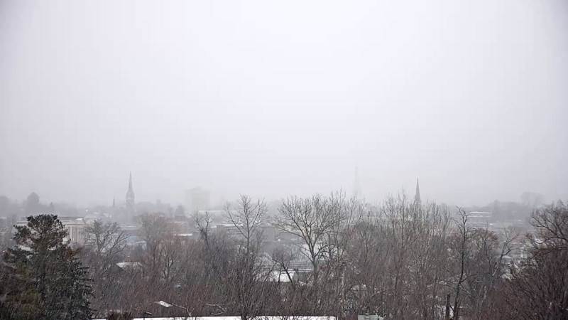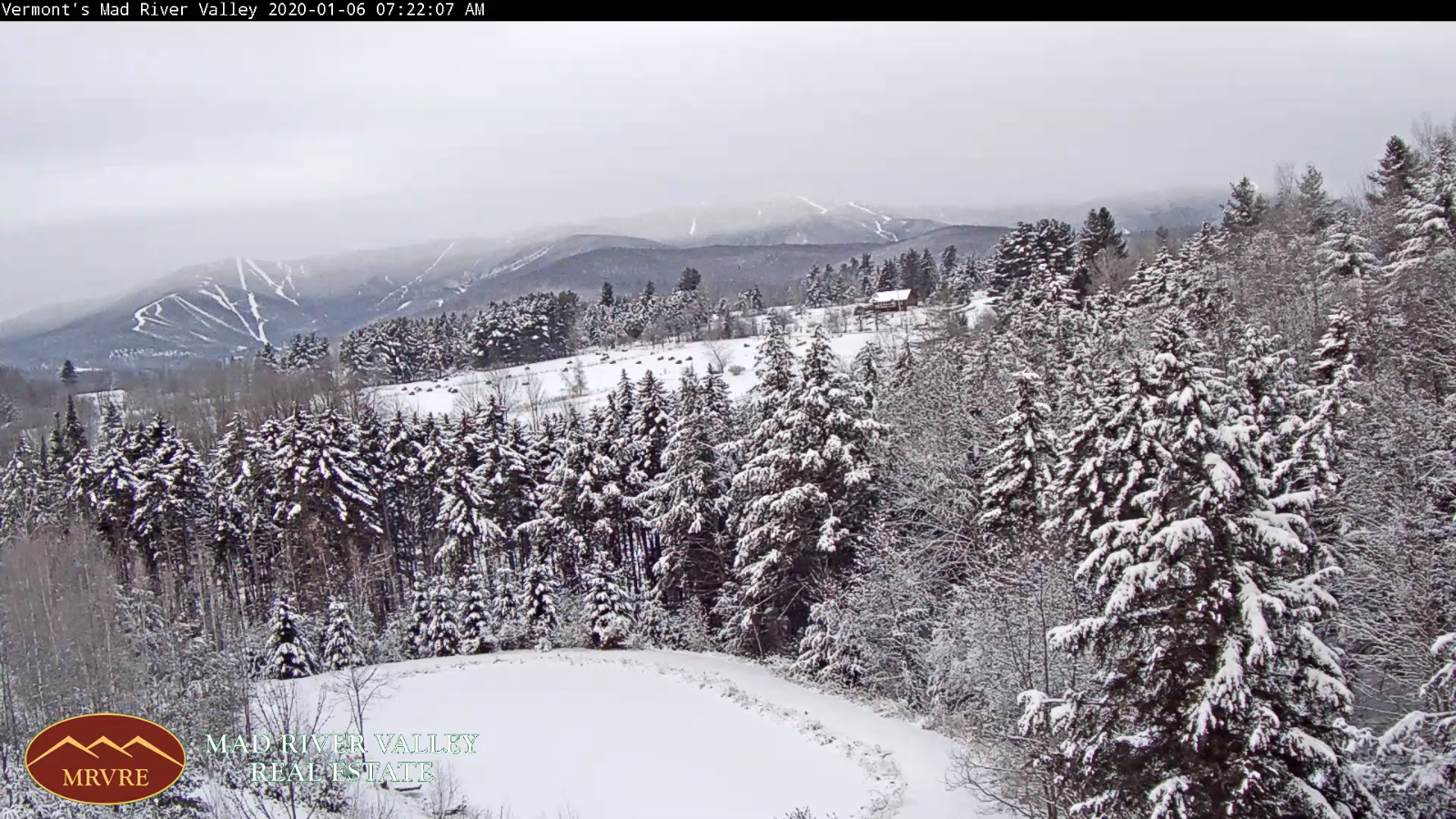
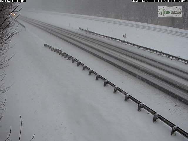
TONIGHT: Snow showers and heavier snow squalls exiting early this evening. Otherwise becoming partly cloudy with few flurries Northeast Kingdom. A low near 5 above. Northwest winds 10 to 20 mph lowering wind chills.
TOMORROW: Pick of the week. Mostly sunny through mid afternoon then increasing high clouds. A high in the upper teens to around 20. Northwest winds 10 mph diminishing.
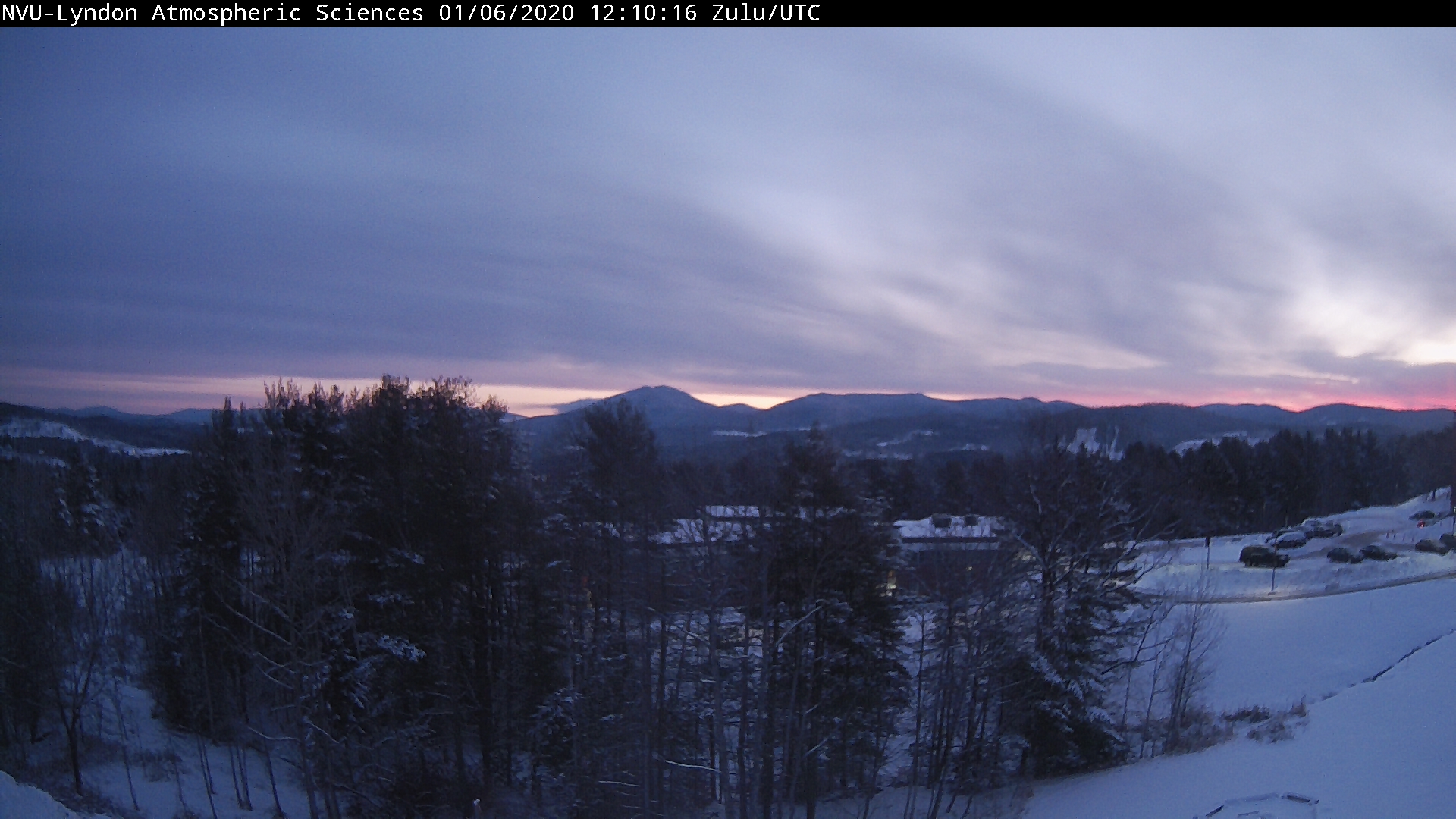
THURSDAY NIGHT: Overcast. A low 5 to 10 above. Southeast winds 10 to 15 mph.
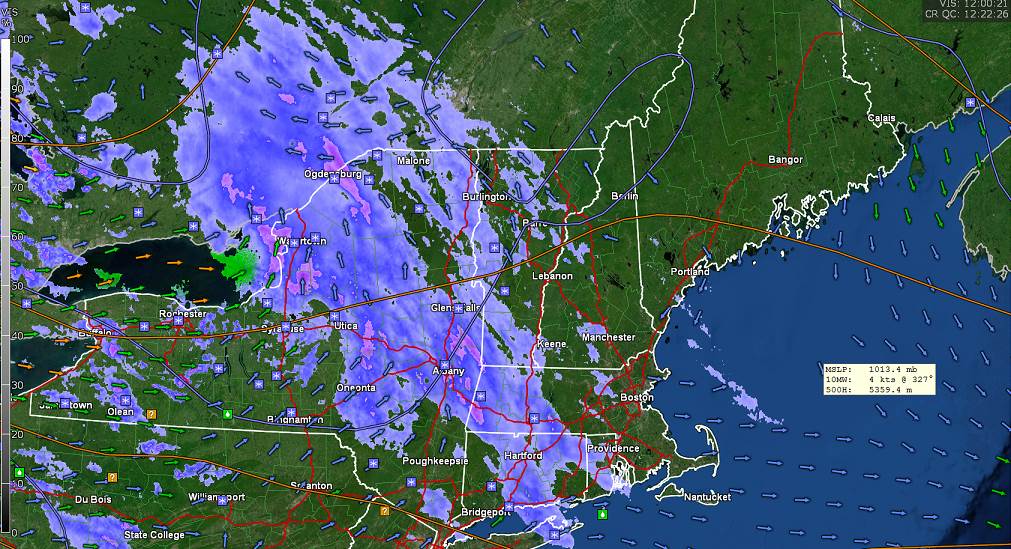
FRIDAY: Overcast. A wintry mix of wet snow, sleet and freezing rain likely developing by late morning…with slick travel…changing to occasional light rain showers in the afternoon. A late day high in the mid to upper 30s. South winds 10 to 15 mph.
Looking further ahead…
FRIDAY NIGHT: Mainly cloudy. Good chance for a light showers or sprinkles after midnight. A low around 35
SATURDAY: Gray. Chance for showers becoming steadier late in the day. Areas of fog and milder. A high around 50.
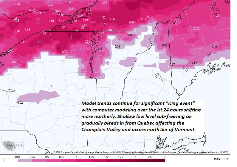
SUNDAY: (Lowered Confidence) Overcast. Chance for periods of rain or mixed precipitation moderate at times, with a risk of icing northern tier and Champlain Valley producing poor travel. Risk of thunder. Wide ranging temperatures…upper 20s to low 30s north, in the 40s central to near 50 southern areas.
MONDAY: Partly to mostly sunny. A low in the 20s. A high near 40.
Average lows single digits to low teens, average highs in the 20s.
RH/1-8-20[end]