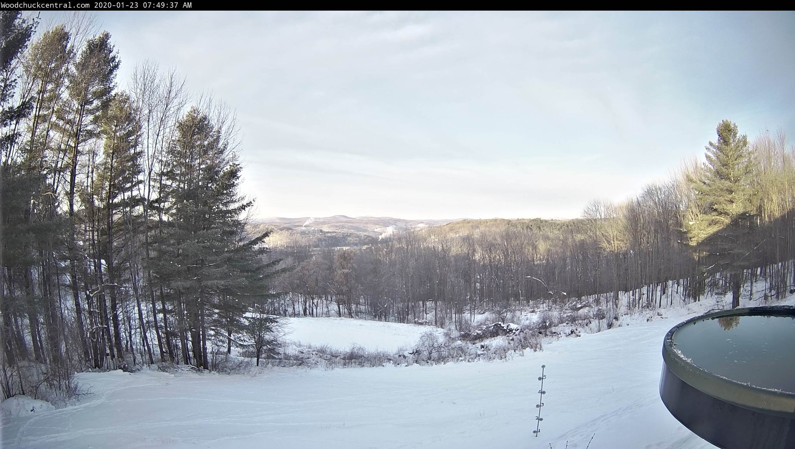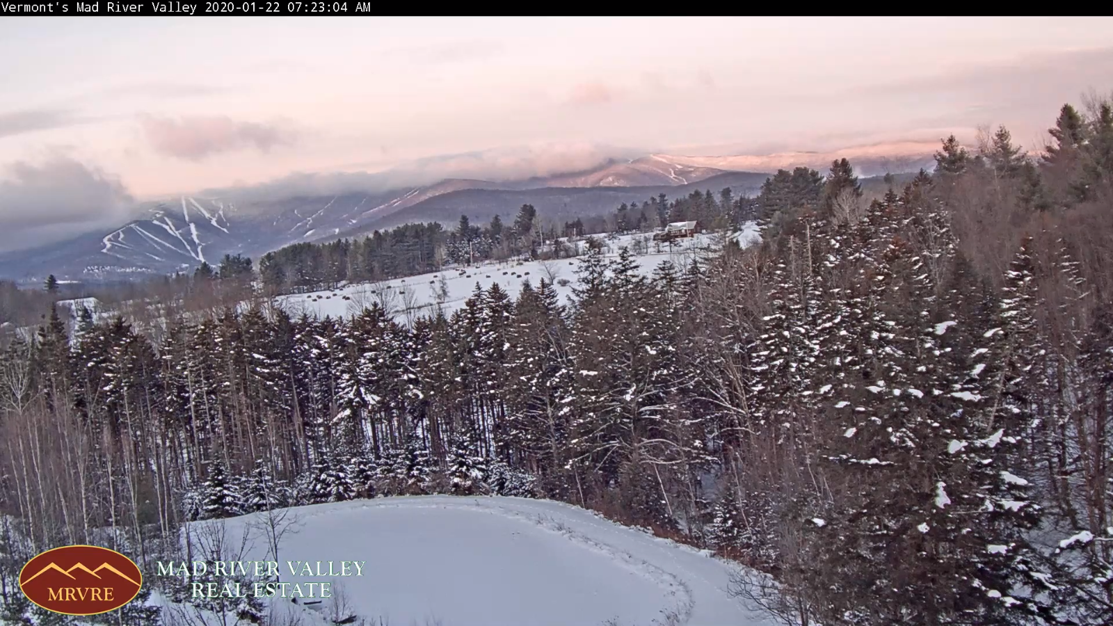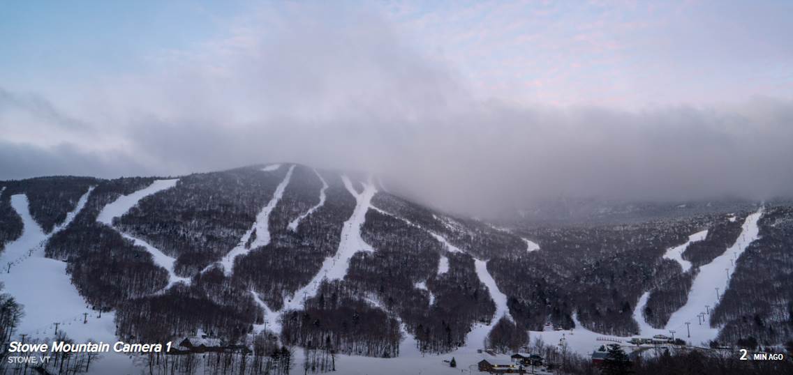
TODAY: Clouds give way to sunny periods. Continued on the mild side. A high 35 to 40. Light southeast winds.
TONIGHT: Cloudy. A low around 25. Light southeast winds.
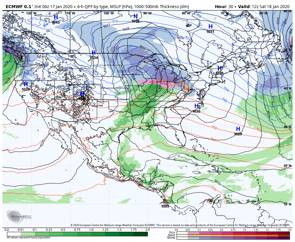
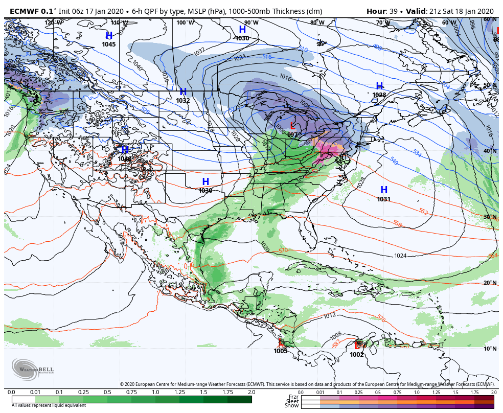
SATURDAY: Gray skies. A wintery mix of wet snow and rain valley floors arriving late. A high in the mid 30s. Southeast winds pick up 10 to 20 mph.
Looking further ahead…
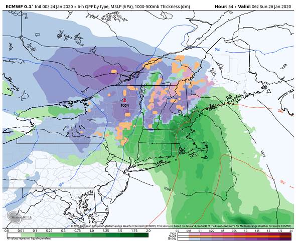
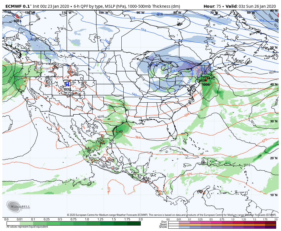
SATURDAY NIGHT: Overcast. Periods of rain and wet snow across elevated terrain. Slushy accumulations of a trace lower valley floors…to locally 5” with the most at the ski resorts. A low in the low to mid 30s.
SUNDAY: Clouds with a few hints of sun. Scattered light rain showers mixed with wet snow flakes higher elevations becoming isolated in the afternoon. A high near 35.
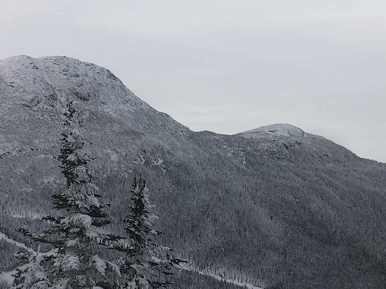
MONDAY: Lingering flurries mountain snow showers likely. Some minor additional accumulation up to 2”. Otherwise considerable cloudiness. A low around 25. A high near 32.
TUESDAY: Partly to mostly sunny. A low in the teens. A high in the 25 to 30.
WEDNESDAY: Mixed sun and clouds. A low in the single digits above zero. A high in the mid-20s.
Average lows single digits, average highs in the 20s.
RH/1-23-20[end]