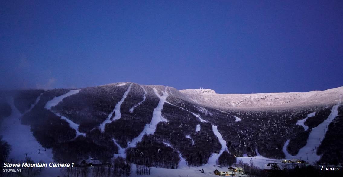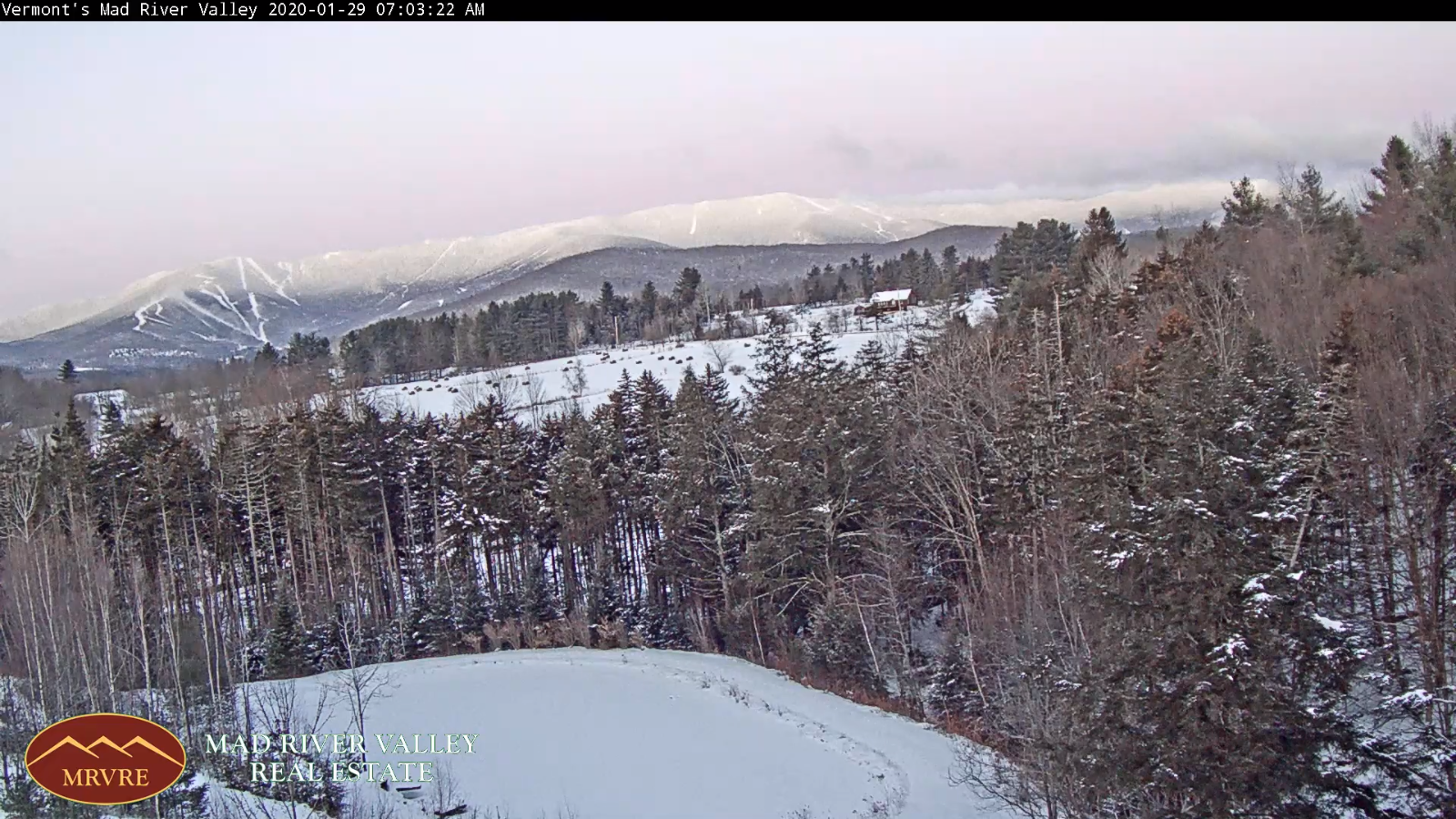
TONIGHT: Fair with high cloudiness. A low in the single digits. Light south winds.
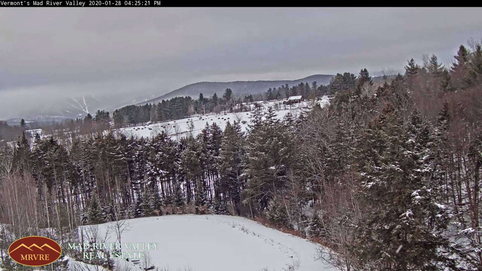
TOMORROW: Mixed clouds and sun before thickening clouds late. A high around 35. Light southwest winds.
FRIDAY NIGHT: Considerable clouds. A few flurries developing near Quebec border. A low 20 to 25. Light south winds.
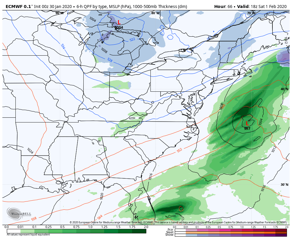
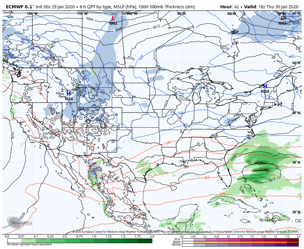
SATURDAY: Cloudy. Scattered mountain snow showers and valley flurries mid-morning on. Minor accumulation. A high 32 to 35. Light winds.
Looking further ahead…
SATURDAY NIGHT: Mainly cloudy. Scattered flurries with minor accumulation. A low in the teens.
SUNDAY: Maybe a flurry late, otherwise. A high in the low to mid 30s
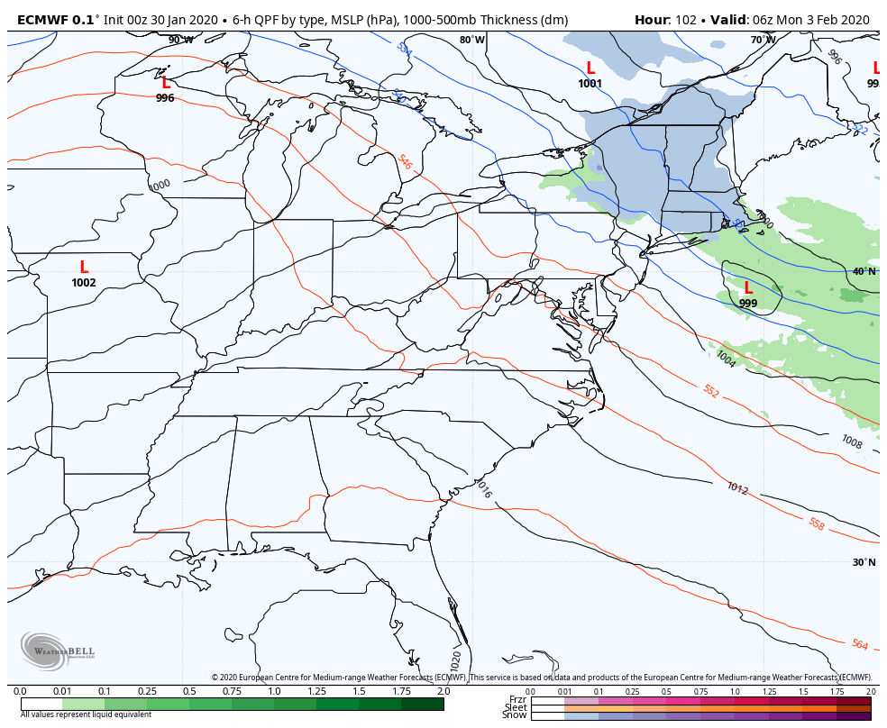
MONDAY: Partly to mostly cloudy after a morning flurry. A low near 25. Milder. A high in the mid to upper 30s.
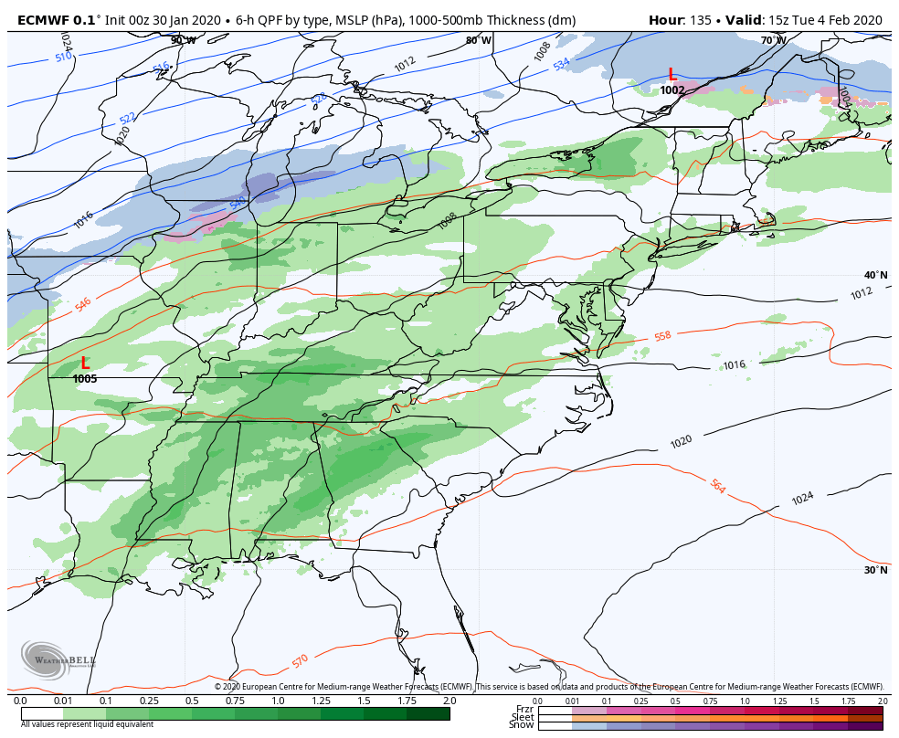
TUESDAY: Mainly cloudy. Chance for a morning snow or rain shower. A low mid-20s to around 30. A high near 40.
Average lows single digits, average highs in the 20s.
RH/1-30-20[end]