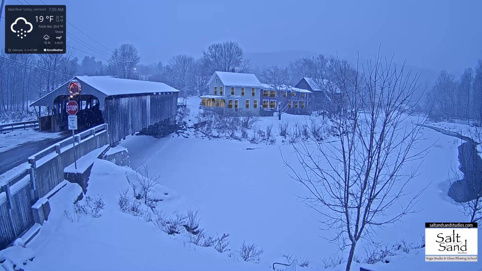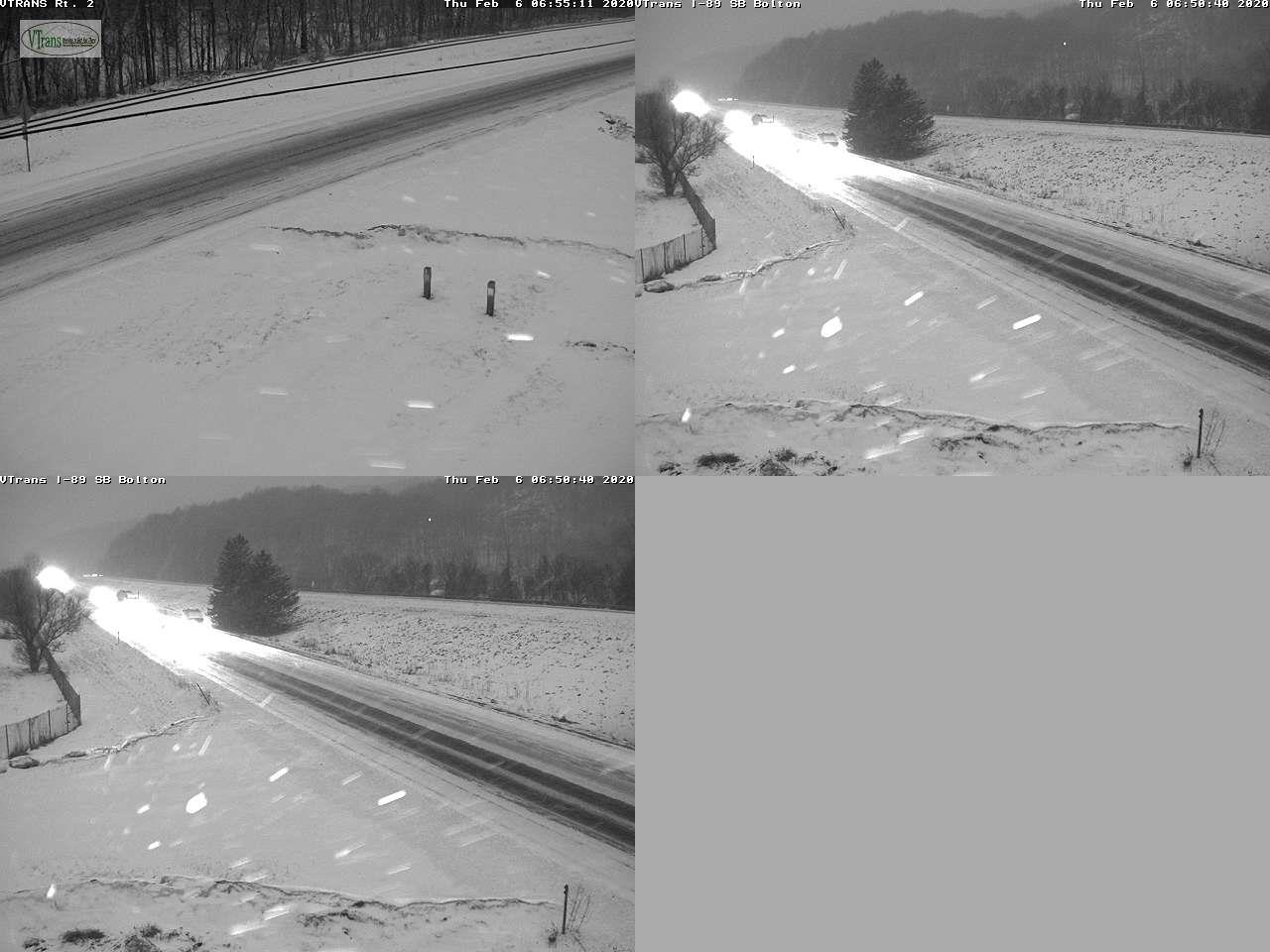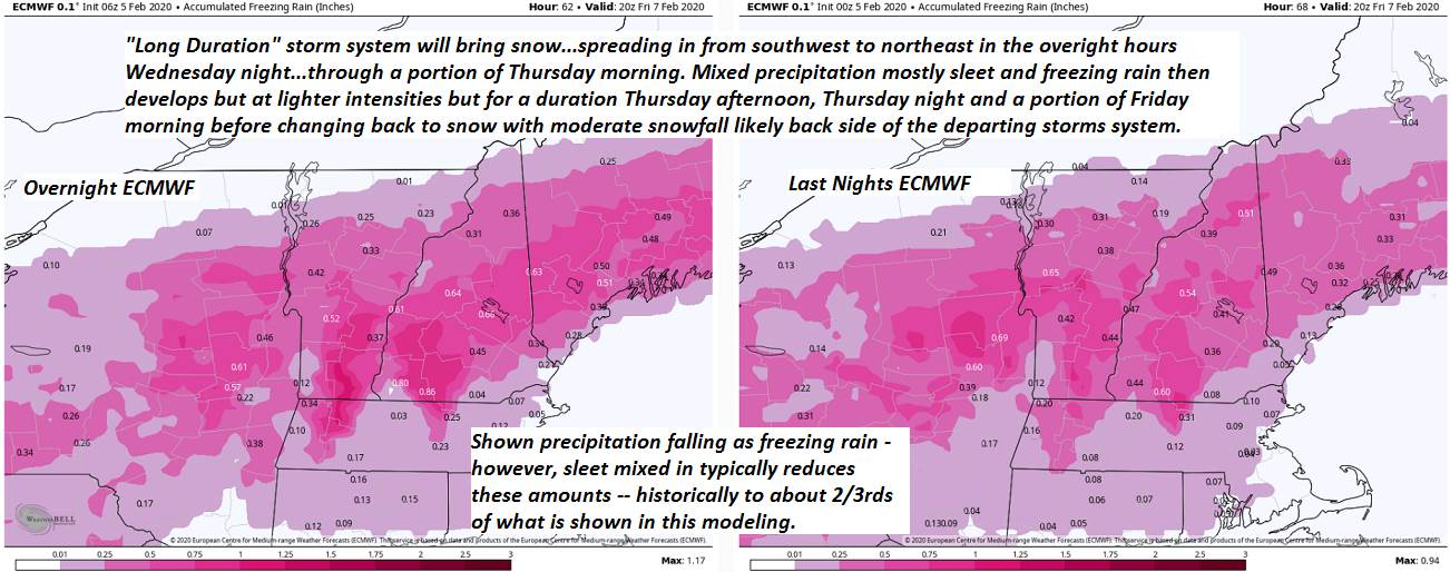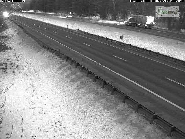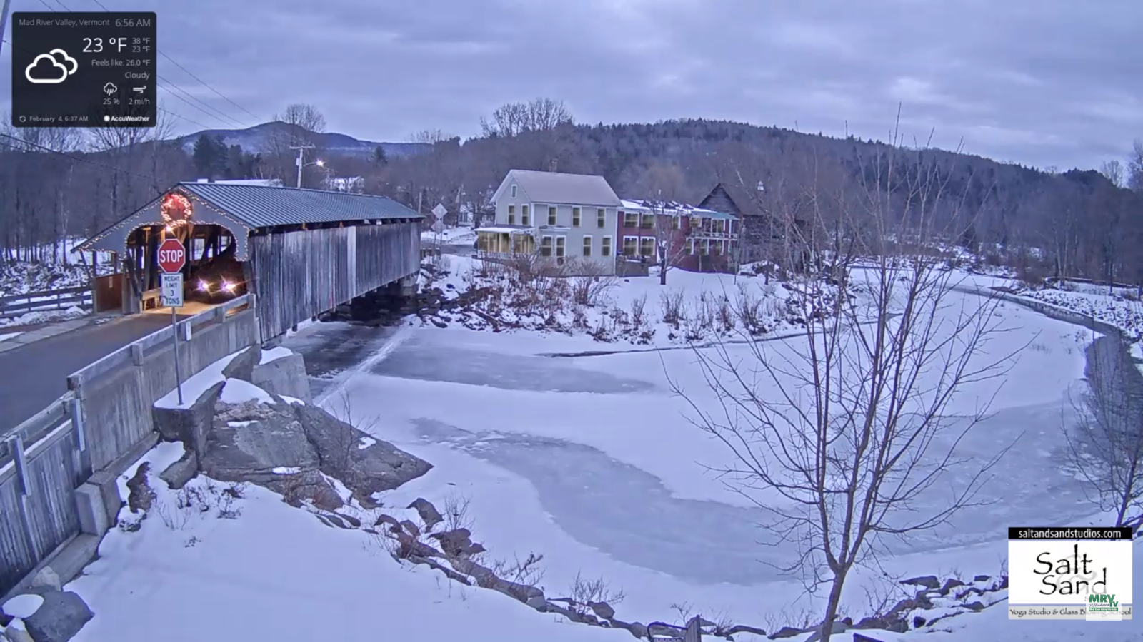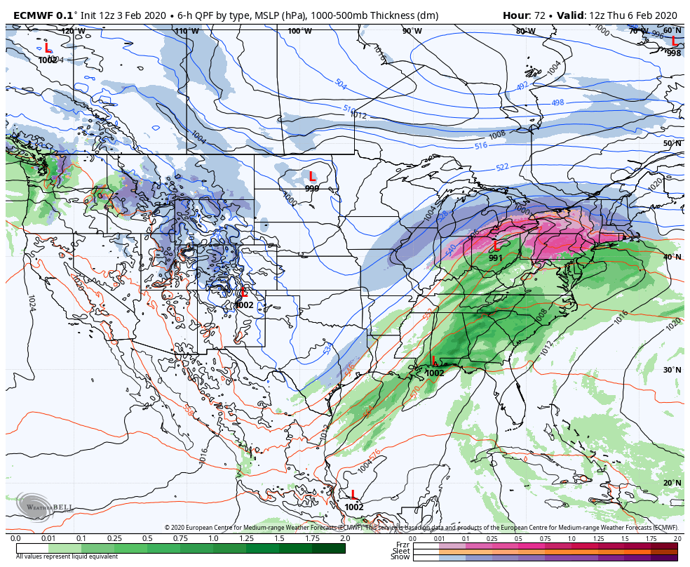
Winter Storm Warning thru late Friday Evening…
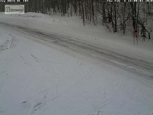
TONIGHT: Overcast. Periods of sleet and freezing rain. Poor travel with sleet accumulation up to an inch…glazing up two tenths of an inch. A low 25 to 32. Wind becoming northeast 10 mph.
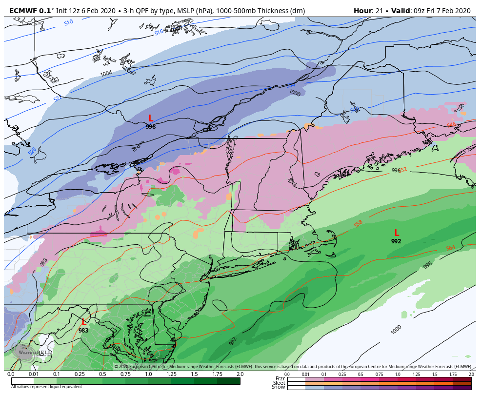
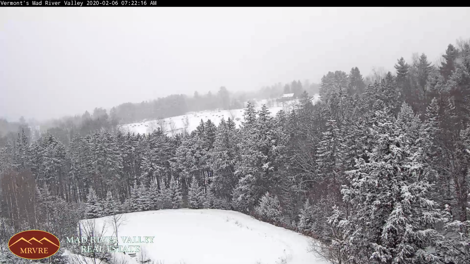
TOMORROW: Gray. Wintry mix continues thru early afternoon. Mixed precip changing to all snow…moderate at times. Snow accumulation about 4 to 8”. Temperatures in the upper 20s to near 32. Northeast winds 10 mph shifting to northwest 10 to 25 mph late causing considerable blowing and drifting.
FRIDAY NIGHT: Snow…moderate at times early in the evening…becoming lighter and winding down as snow showers and flurries. Additional accumulation about 1 to 3”. Otherwise, mostly cloudy. Sharply colder. A low zero to 5 above.
Northwest wind 10 to 20 mph with higher gusts causing blowing and drifting and lowering wind chills.
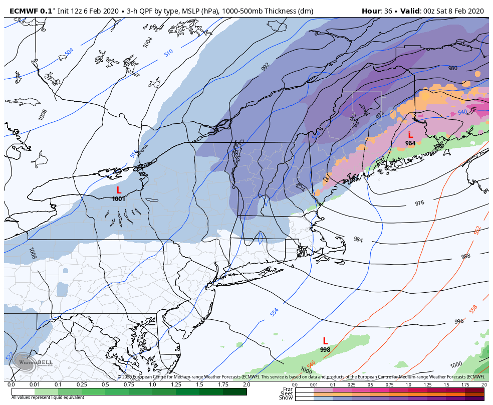
SATURDAY: Arctic-like sunshine. Diamond dust flurries in the morning. Bitterly cold with a high just 5 to 10 above. Northwest winds 10 to 15 mph lowering wind chills.
Looking further ahead…
SATURDAY NIGHT: Frigid with a low 5 to 15 below with isolated spots near 20 below.
SUNDAY: Sunshine gives way to increasing clouds in the afternoon. A high upper teens to mid-20s.
MONDAY: Mainly cloudy. Chance for light snow into the afternoon then drying up. Early lows in the teens then rising into the 20s. A high reaching mid to upper 30s late.
TUESDAY: Mixed clouds and sun. Maybe a flurry. A low 15 to 20. A high mid to upper 30s.
Average lows 5 to 15 above, average highs mid-20s to mid-30s.
RH/2-6[end]