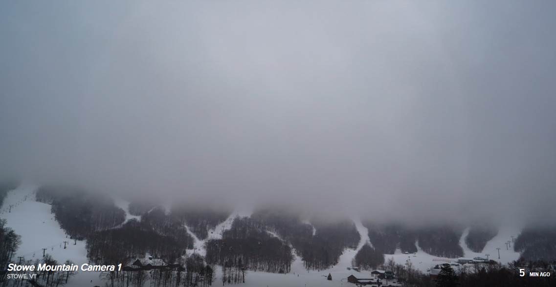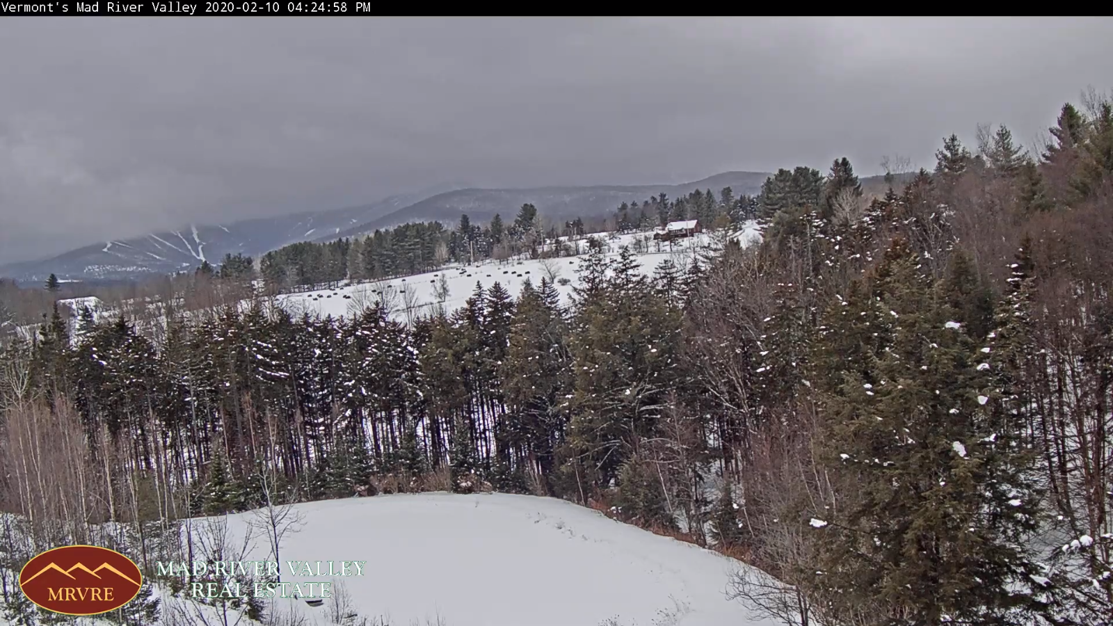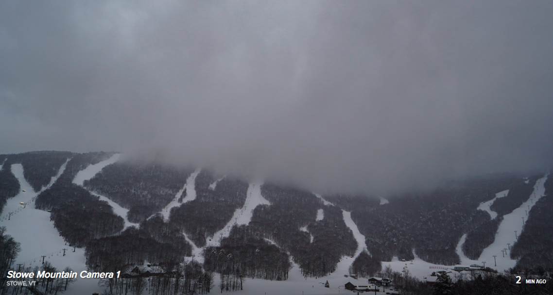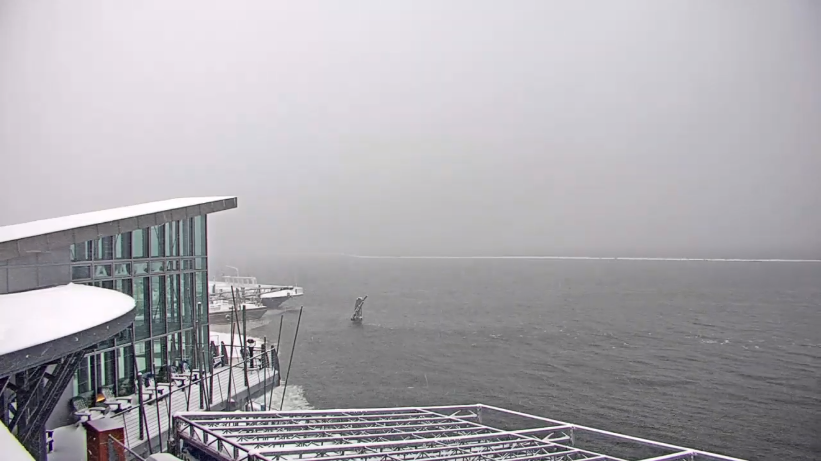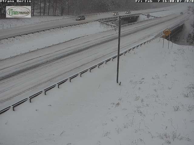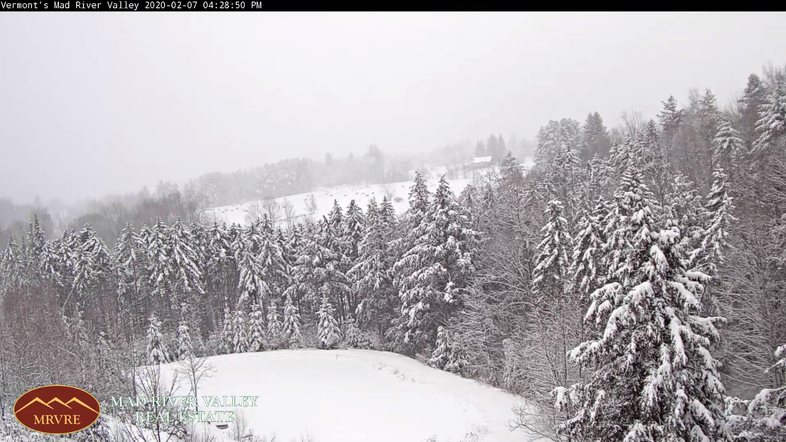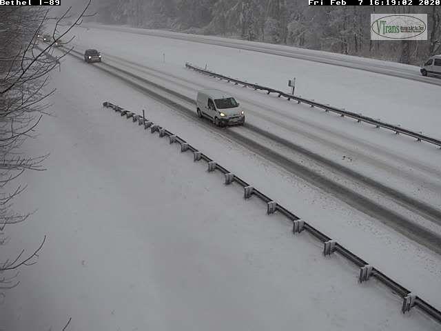
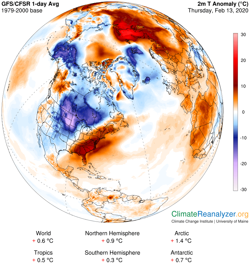
TONIGHT: Occasional light snow showers thru mid-evening tapering to isolated flurries toward Champlain Valley overnight. An inch or less accumulation. Otherwise gradual partial clearing developing. A bit blustery & sharply colder overnight. A low zero to 5 above. Northwest winds 10 mph lowering wind chills.
TOMORROW: A “diamond dust flurry early” otherwise increasing sunshine. Bitterly cold. A high 5 to 10 above. Northwest winds 10 mph.
FRIDAY NIGHT: Clear and frigid. A low 10 to 20 below. Little wind.
SATURDAY: Sunshine becoming filtered through high clouds. Frigid. A high near 20. South breeze 10 mph.
Looking further ahead…
SATURDAY NIGHT: Fair early, then mostly cloudy with isolated flurries late. A low 10 to 15.
SUNDAY: Chance for a few flurries in the morning, otherwise clouds with intervals of sun. A high 32 to 35.
MONDAY: Intervals of sun then more clouds. A low in the 20s. A high 35 to 40.
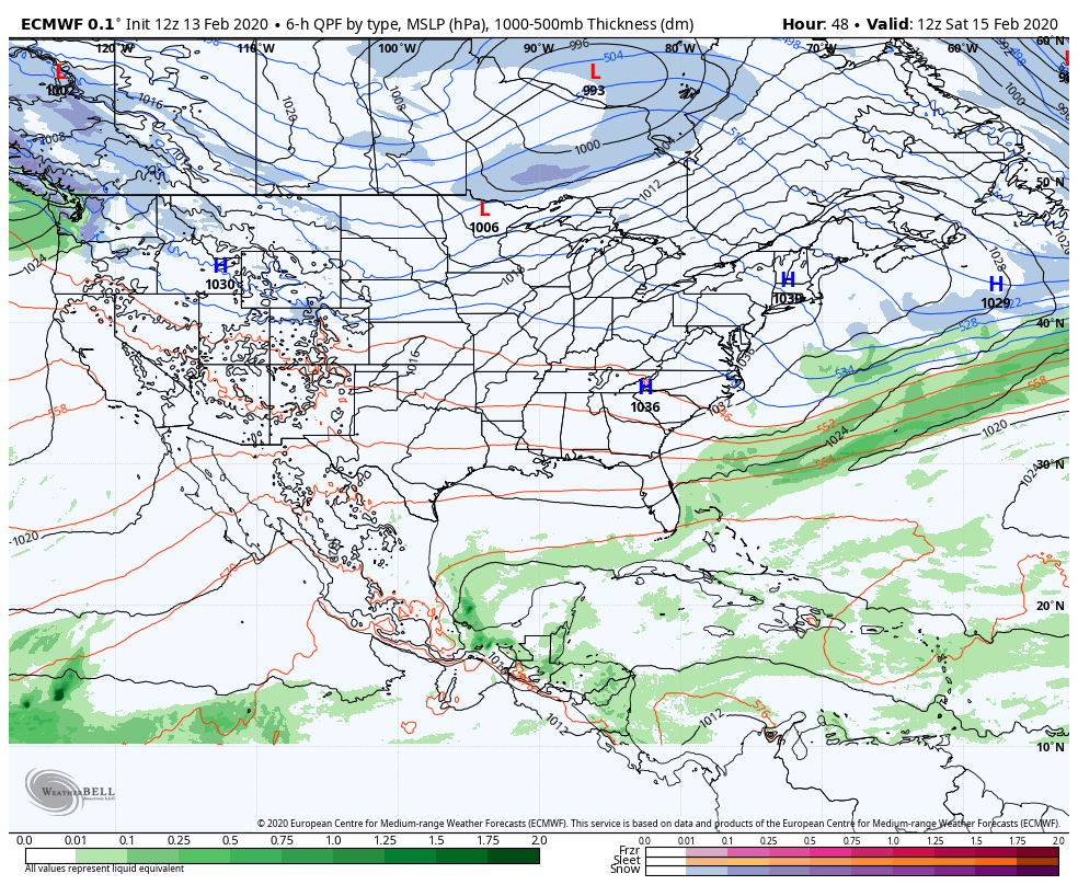
TUESDAY: Gray. A rising chance for snow transitioning to a wintry mix with slick travel and then rain late. A low in the mid to upper 20s. A high 35 to 40.
Average lows upper single digits to mid-teens, average highs upper 20s to mid-30s.
RH/2-13[end]