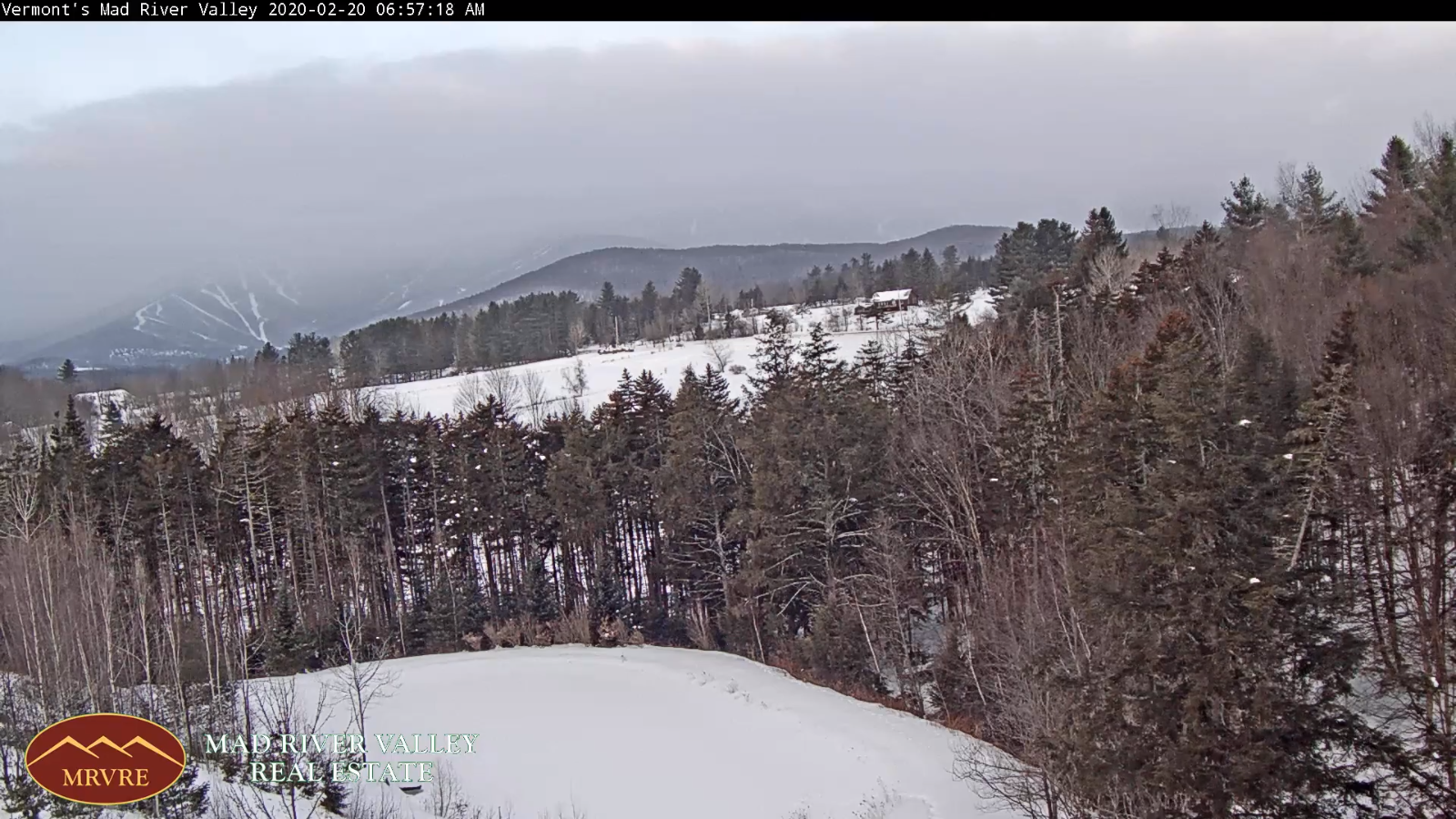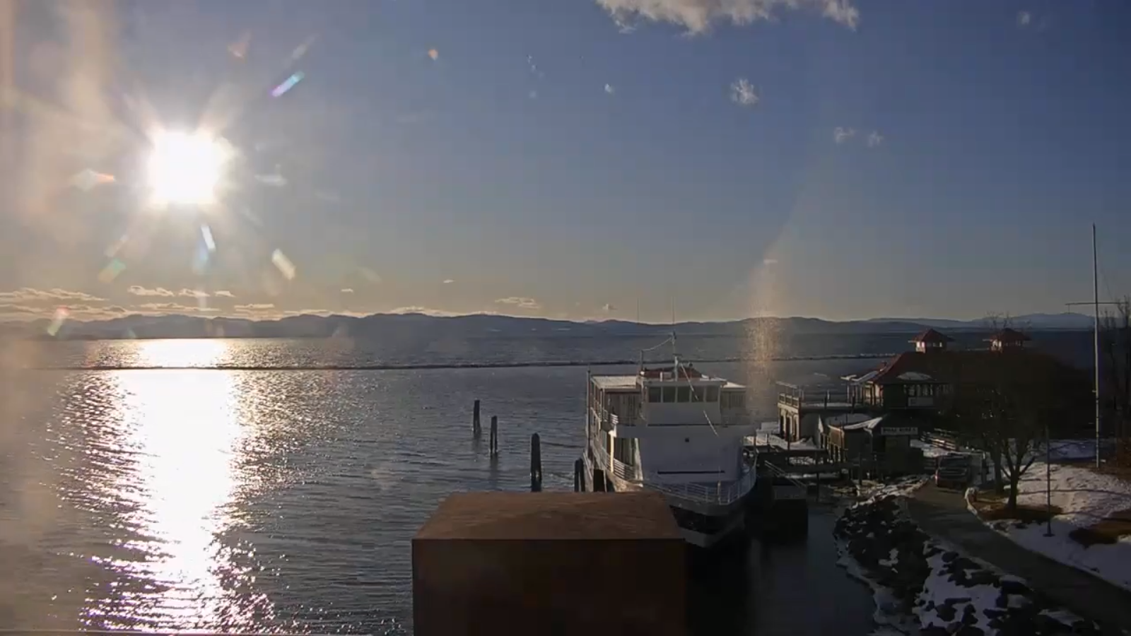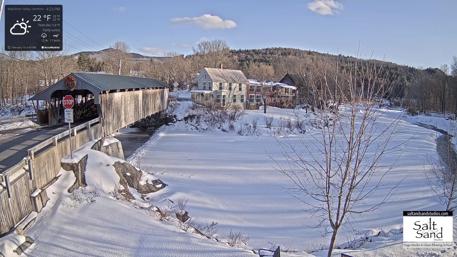
TODAY: Sunny but chilly. A high 20 to 25. Light southwest winds…stronger toward Lake Champlain this afternoon.
TONIGHT: A few high clouds. A low around 10 to 15 above. Light south to southwest winds stronger near Lake Champlain.
SATURDAY: Sunshine filtered through high clouds. Milder. A high around 35. Southwest winds 10 mph.
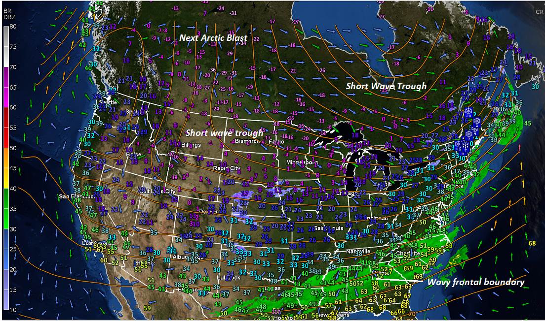
Looking further ahead…
SATURDAY NIGHT: A few high clouds otherwise clear but not as cold. A low 15 to 20.
SUNDAY: Sunny. Possible Sap run. A high near 40 degrees.
MONDAY: Sunshine gives way to considerable high cloudiness. A low mid-teens to low 20s. Above normal in temperature with a sap run possible. A high in the mid 40s.
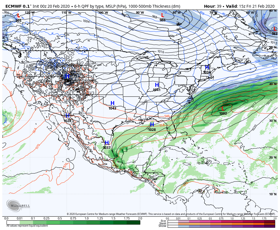
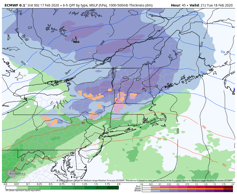
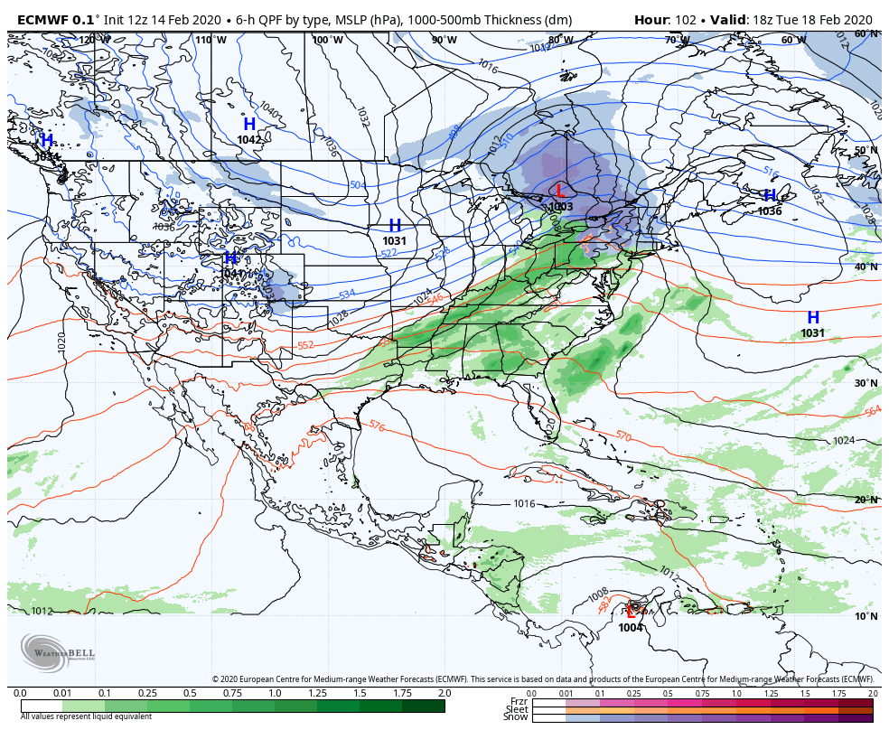
TUESDAY: Gray. Spotty light rain with a risk for freezing rain in the morning. A low around 32. A high in the mid-40s.
WEDNESDAY: Mainly cloudy. A rising chance for rain or mixed precipitation. A low around 32. A high in the mid to upper 30s.
Average lows low to mid teens, average highs low to mid-30s.
RH/2-20[end]