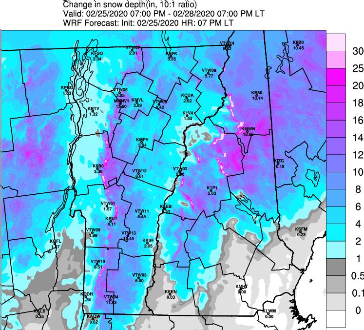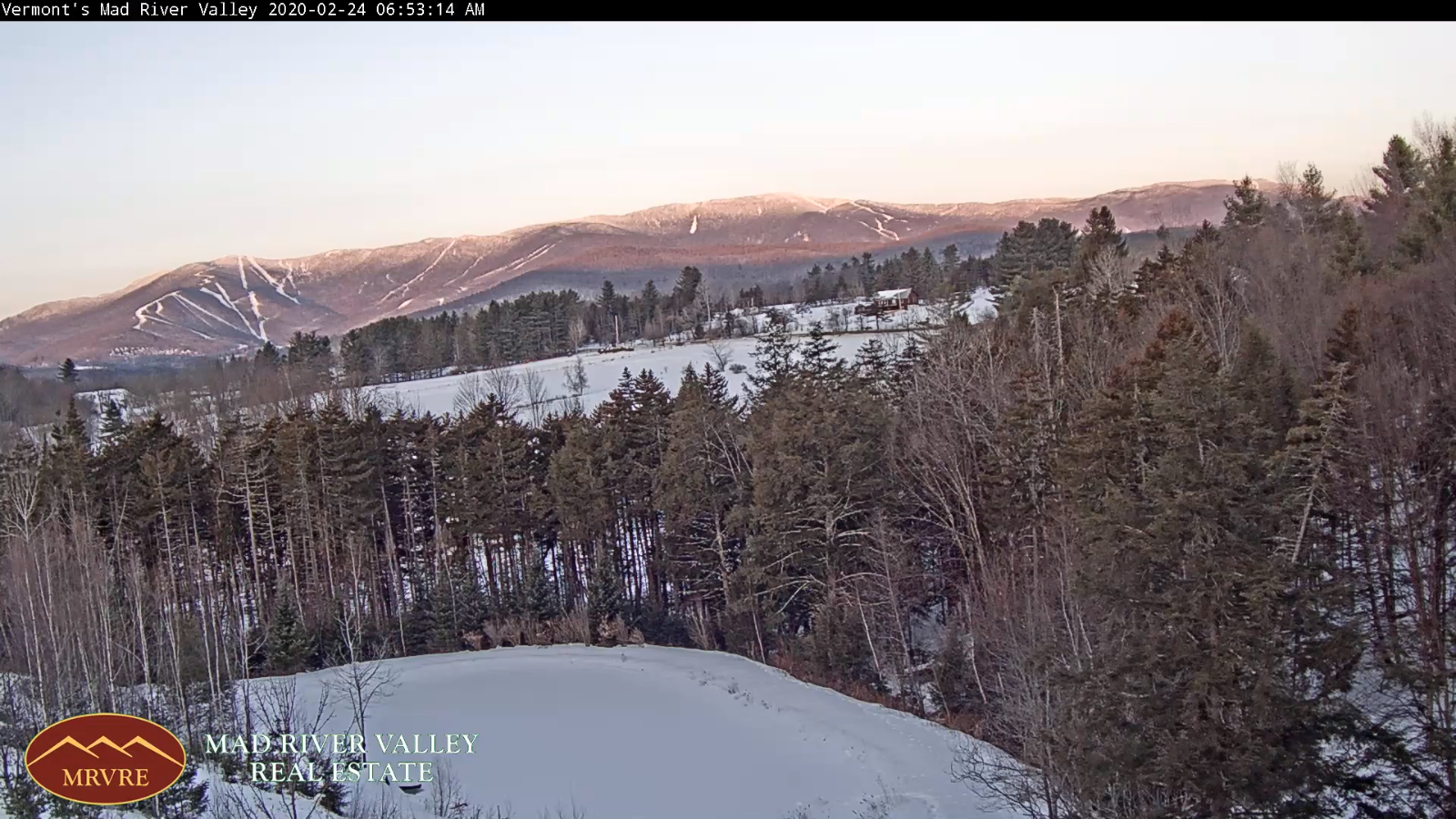
TODAY: Considerable cloudiness, with Lake Effect snow showers and squalls especially Barre-Montpelier area north. Accumulation highly variable with a dusting to locally 4” in the Green Mountains. A high around 25. Southwest winds 10 to 15 mph.
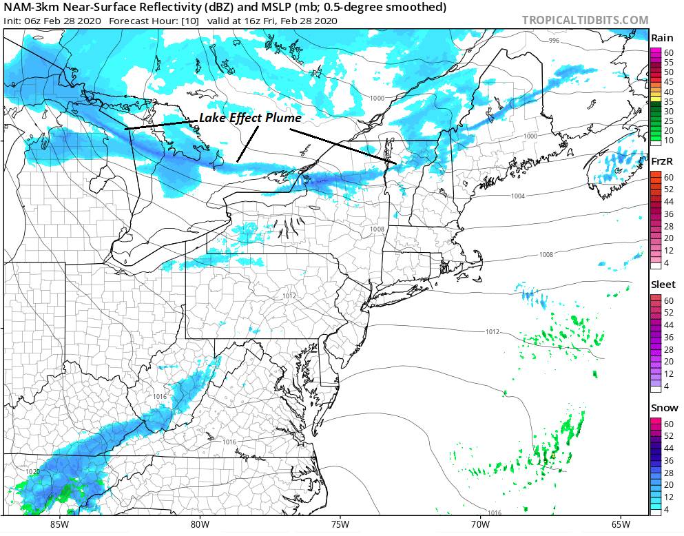
TONIGHT: Becoming partly to mostly cloudy. Lake effect snow showers and snow squalls likely across northern tier of Vermont. Accumulations dusting to locally 2” A low near 10. West to southwest winds 10 mph.
SATURDAY: Variable cloudiness with occasional mountain flurries in the morning. Colder. A high around 20. Light west winds.
Looking further ahead…
SATURDAY NIGHT: A few clouds otherwise mostly clear. A low 5 above to 5 below.
SUNDAY: Morning cloudiness with “diamond dust” flurries gives to bright sunshine and blue skies. A high in the lower 20s.
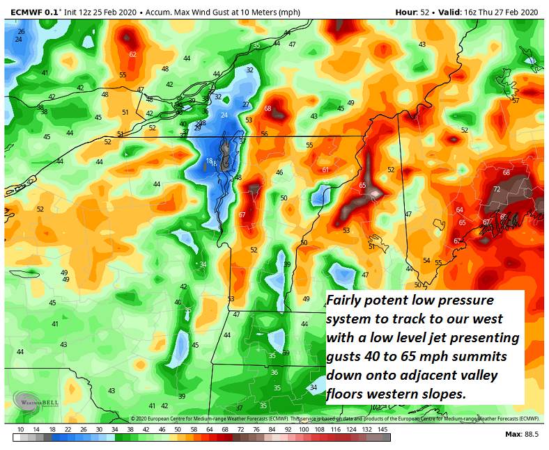
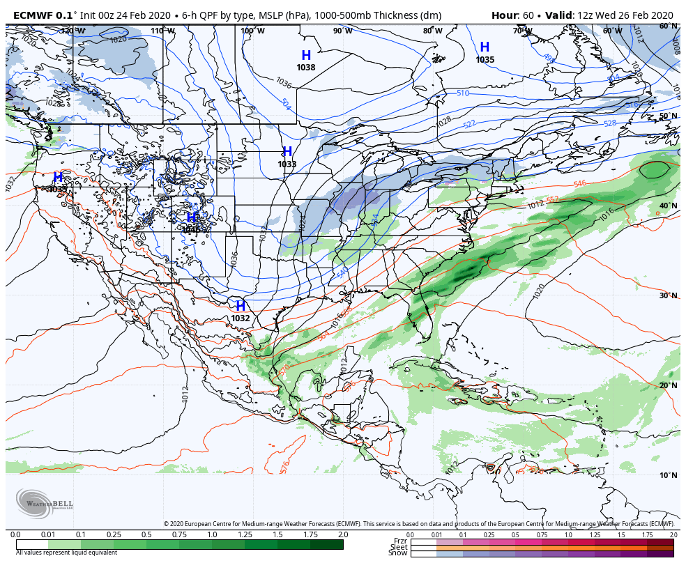
MONDAY: Thickening clouds. Rising chance of rain or snow showers. A low in the teens. A high 35 to 40.
TUESDAY TOWN MEETING DAY: Chance light rain showers, possible wintry mix in the morning. Otherwise lots of clouds. A low 32 to 35. A around 45
WEDNESDAY: Overcast. Chance for rain, possible mix early. A low 32 to 35. A high mid-40s to near 50s.

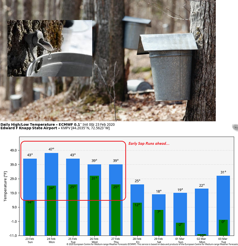
Average lows in the teens, average highs in the 30s….
RH/2-28[end]