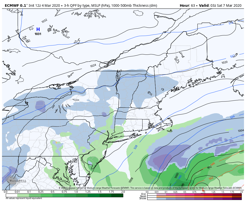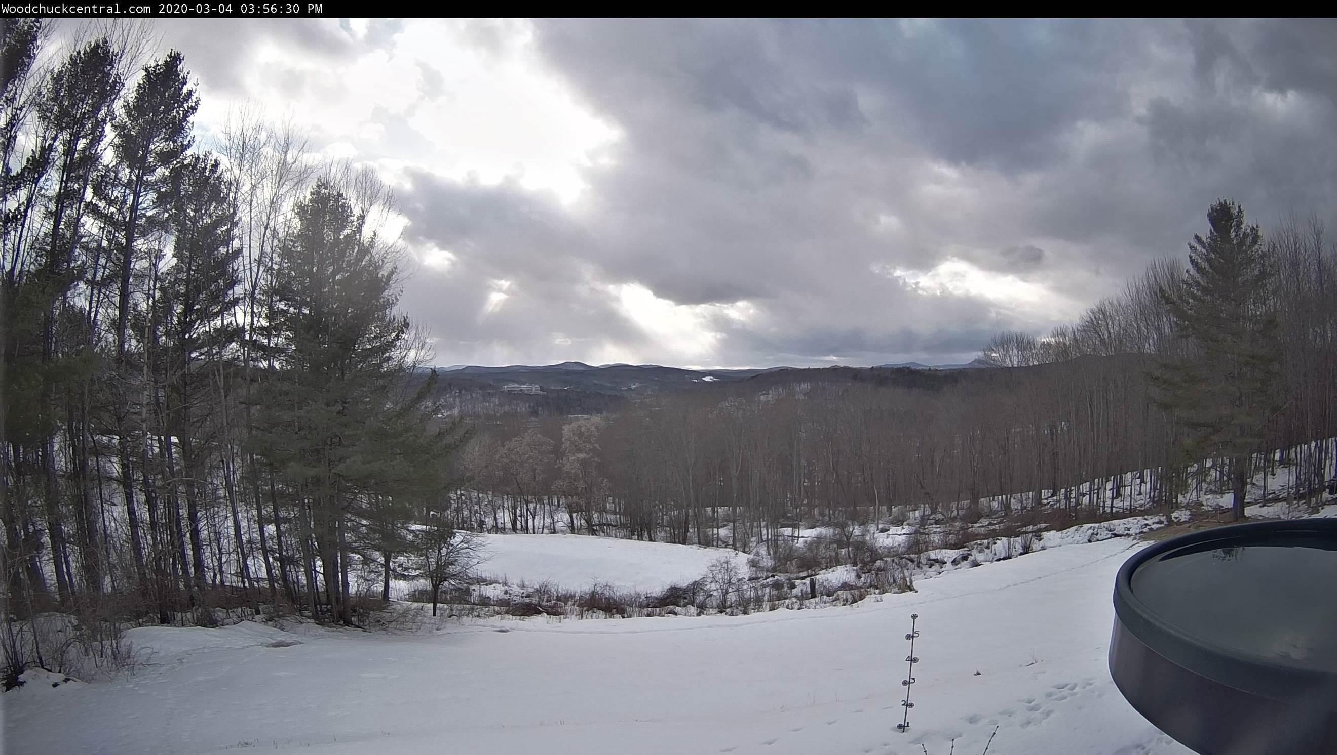
TONIGHT: Lots of clouds. Widely scattered evening snow showers or flurries. A dusting to an inch central and southern Green Mountains. A low around 15. North to northeast winds 10 mph.
TOMORROW: Morning clouds then bright sunshine and blue skies. A high 25 to 30. Chilly northwest wind 10 to 15 mph.
SATURDAY NIGHT: Mostly clear in the evening giving way to high cloudiness. A low 10 to 15. Light winds.
SUNDAY: Variable cloudiness with intervals of sunshine. Possible sap run. A high 40 to 45. Light west winds.
Looking further ahead…
SUNDAY NIGHT: Partly cloudy. A low 25 to 30.
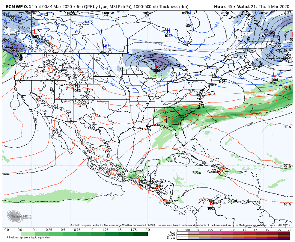
MONDAY: Partly to mostly cloudy. Rising chance for rain showers Monday evening. Possible sap run. A high 50 to 55.
TUESDAY: Lots of clouds. A few rain showers far northern areas, otherwise periods of light rain toward evening. A low mid to upper 30s. A high 40 to 45.
WEDNESDAY: Clouds with intervals of sunshine. A low upper 20s to low 30s. Possible sap run. A high upper 40s to around 50.
Average lows in the teens, average highs in the mid-30s to low 40s….
RH/3-6[end]