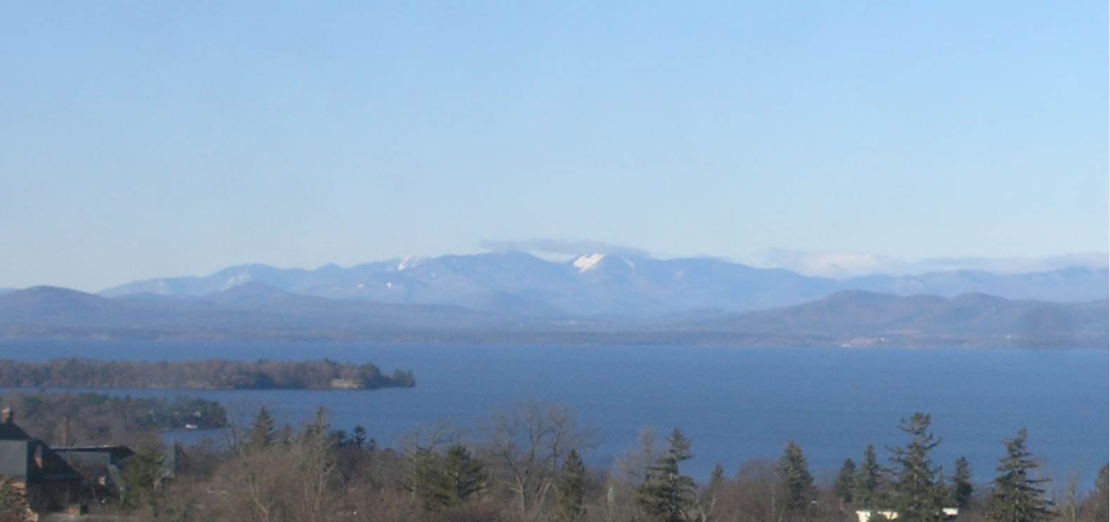
TONIGHT: Clear and starlit. A low in the mid to upper 20s. Light northwest winds.
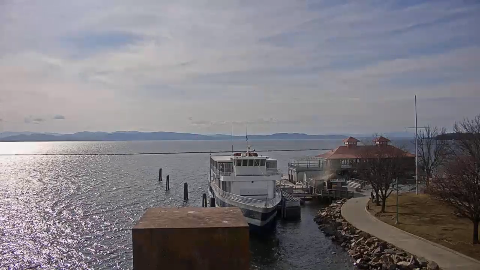
TOMORROW: Pleasant. Sunshine most of the day with thickening clouds late. A high in the low 50s. Light southwest winds.
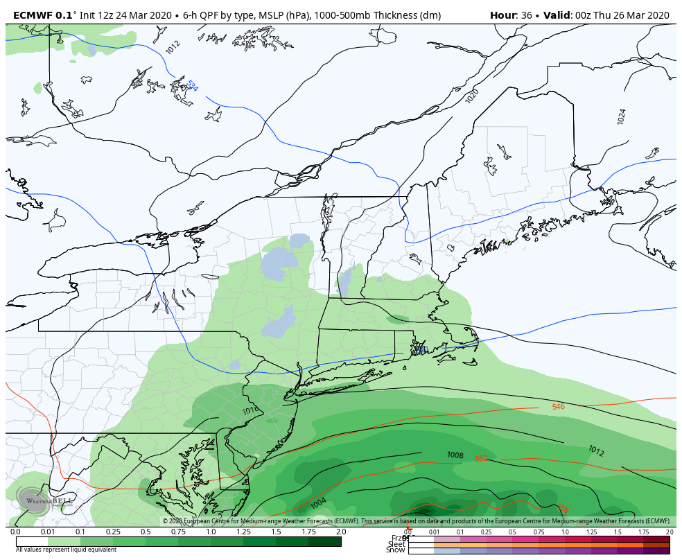
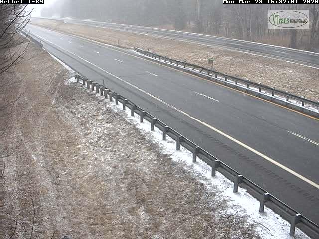
SATURDAY NIGHT: Cloudy. Rising chance for rain or mixed precipitation toward daybreak. Slick travel possible. A low 32 to 35. Light southeast winds.
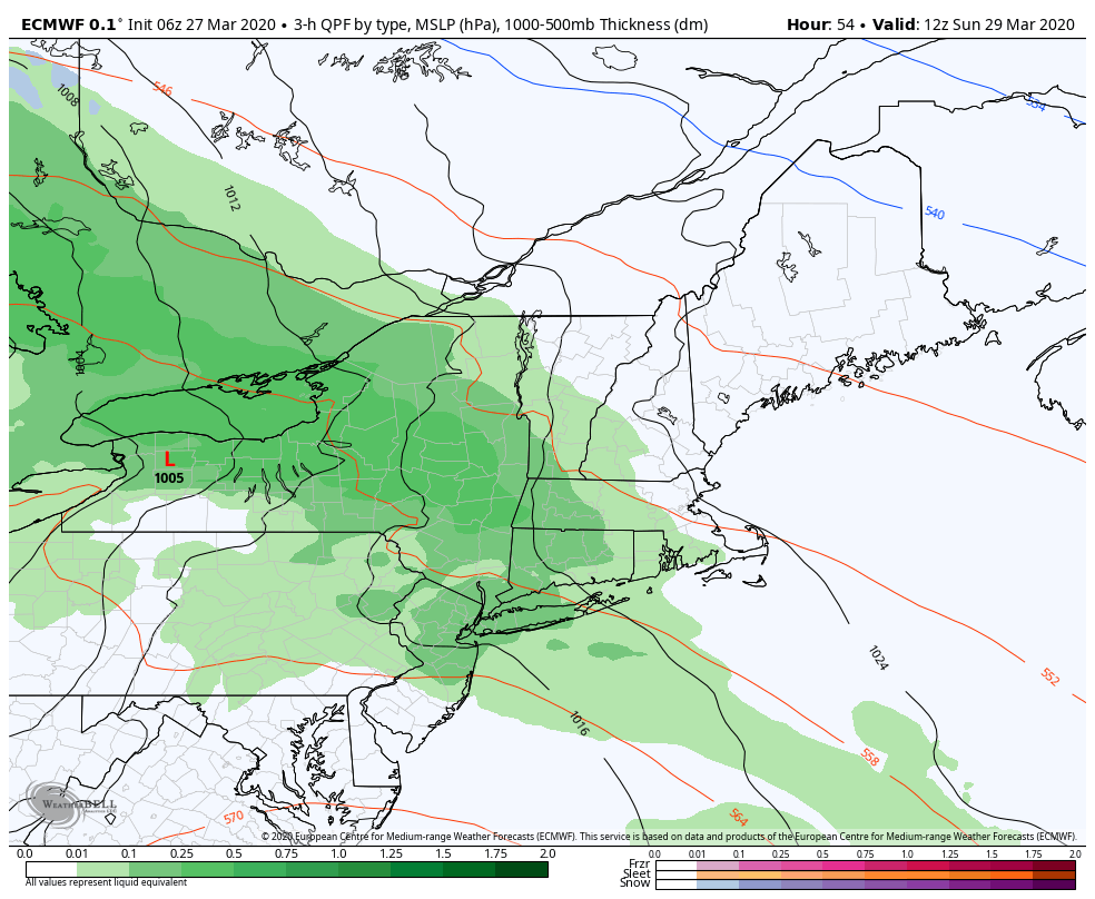
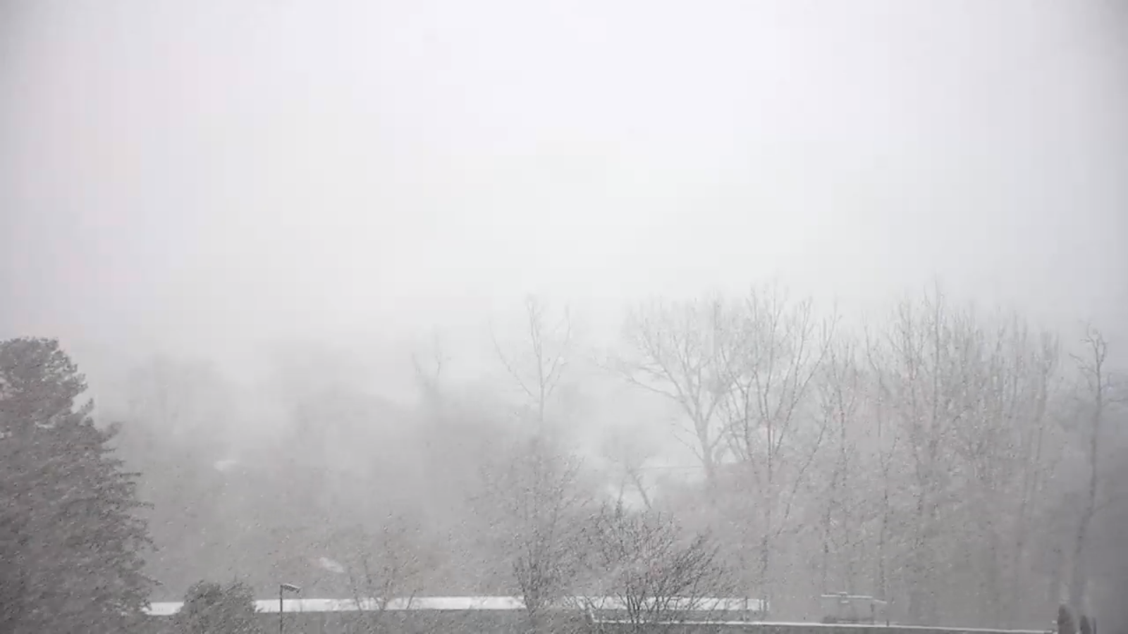
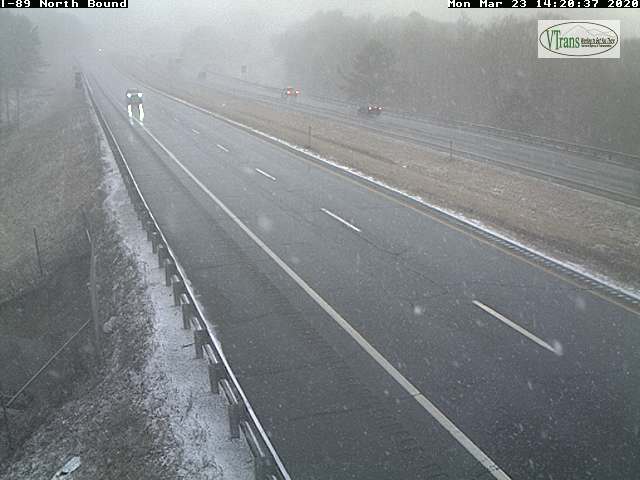
SUNDAY: Gray. Periods of rain likely…starting as a wintry mix east of the Green Mountains with slick travel early. A high mid to upper 30s. Southeast winds 10 to 20 mph with higher gusts western slopes of the Greens.
Looking further ahead…
SUNDAY NIGHT: Overcast. Good chance of a wintry mix of wet snow, sleet and pockets of freezing rain and rain. Still breezy at times. A low 32 to 35.
MONDAY: Cloudy & blustery. Chance for rain with higher terrain wet snow in the morning, and again in the evening. A high around 40.
TUESDAY: Slight chance for leftover morning flurries. Dry with partial afternoon sunshine. A low 32 to 35. A high 40 to 45.
WEDNESDAY: Partly to mostly sunny northern areas, Lots of clouds southern Vermont. A low around 30. A high in the mid-40s.
Average lows in the 20s, average highs low to mid 40s