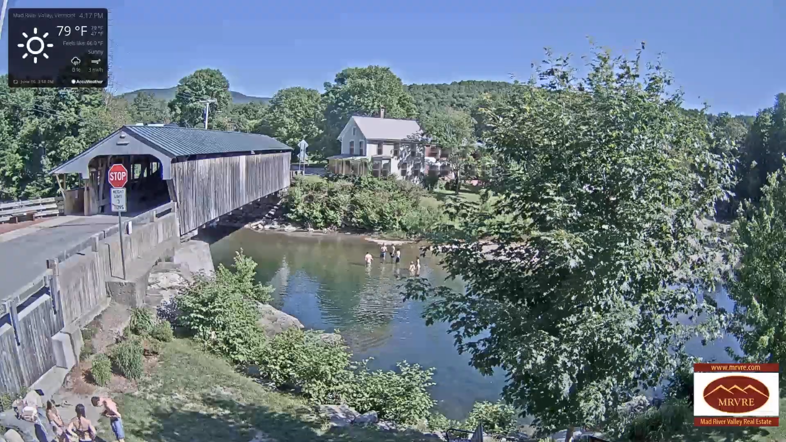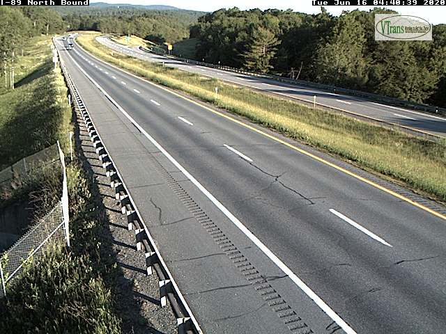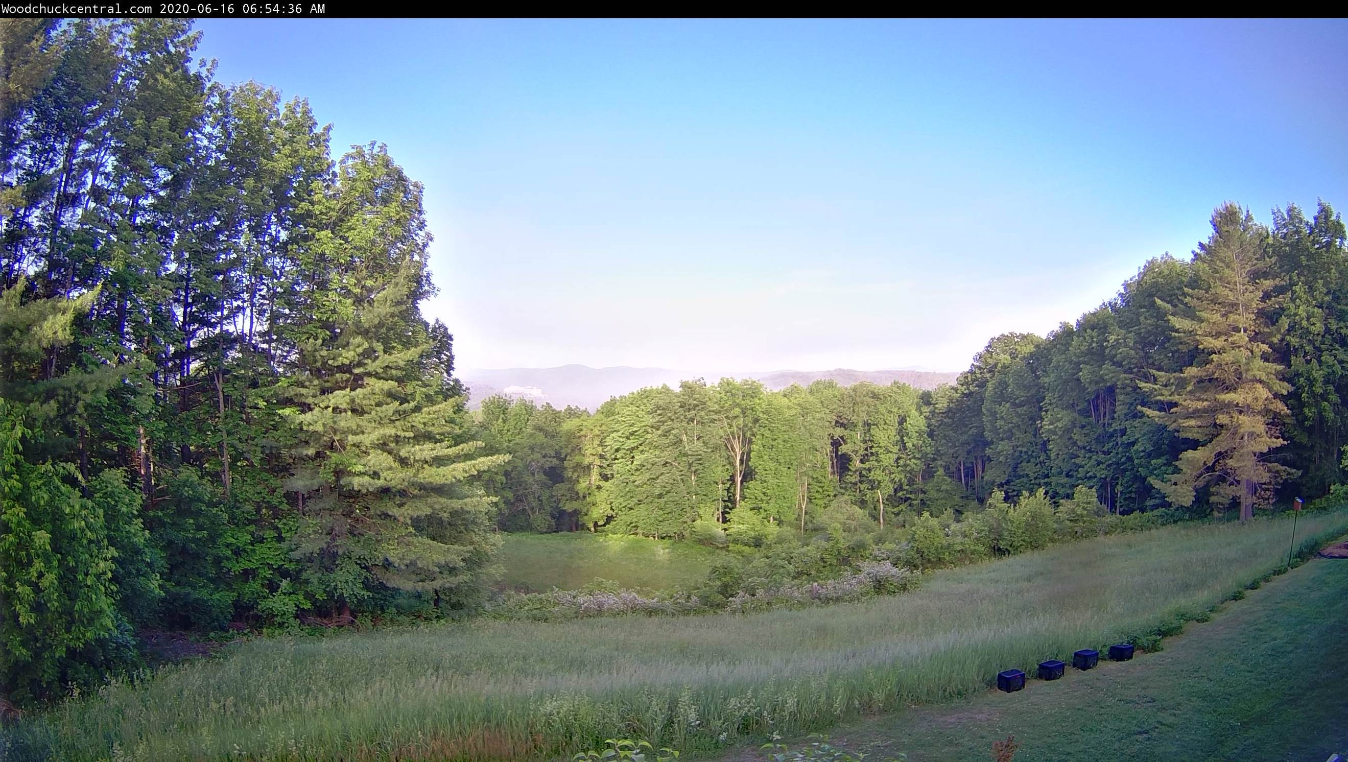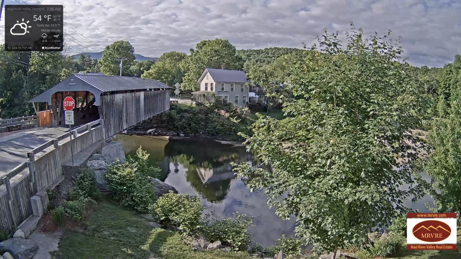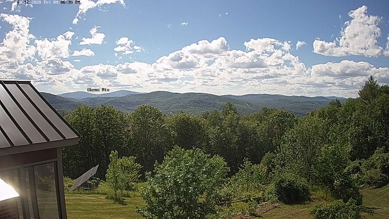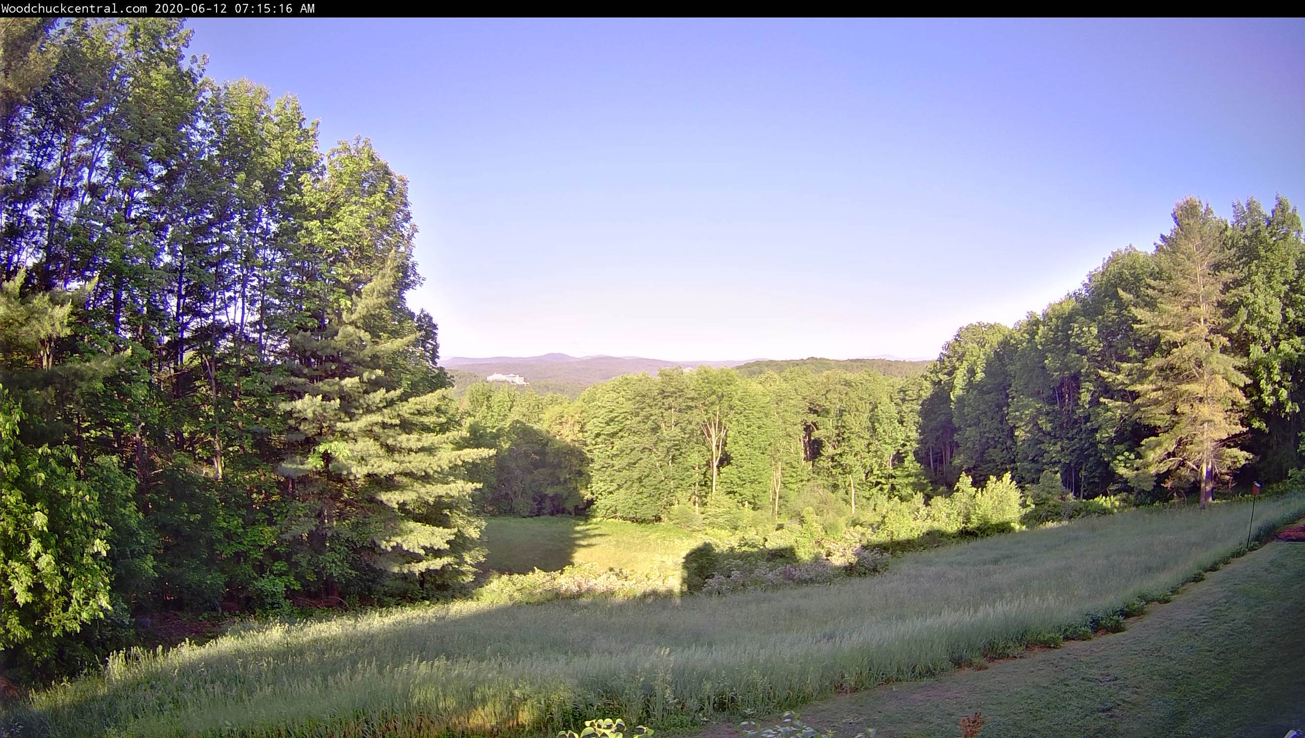
TODAY: A beauty. Bright sunshine. Warm, not very humid. A high near 85. Little wind.
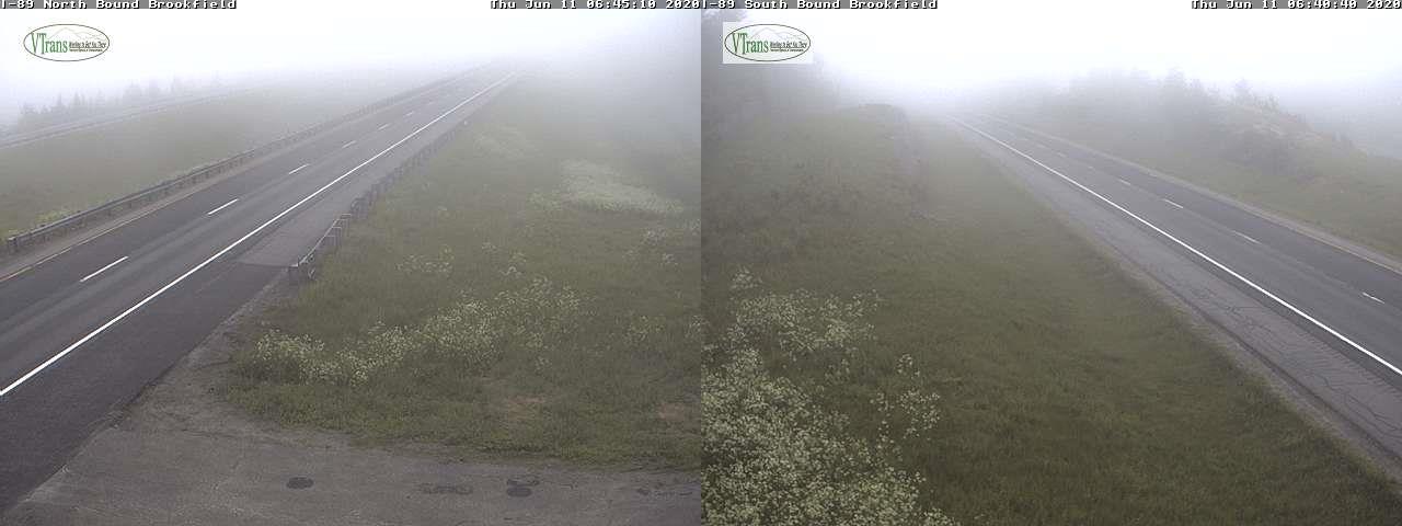
TONIGHT: Clear skies. Isolated valley fog. A low in the low to mid-50s. Little wind.
THURSDAY: Mostly sunny. Warm to hot with low humidity. A high in the mid-80s to around 90. Light southwest winds.
Looking further ahead…
THURSDAY NIGHT: Clear skies. A low in the mid to upper 50s.
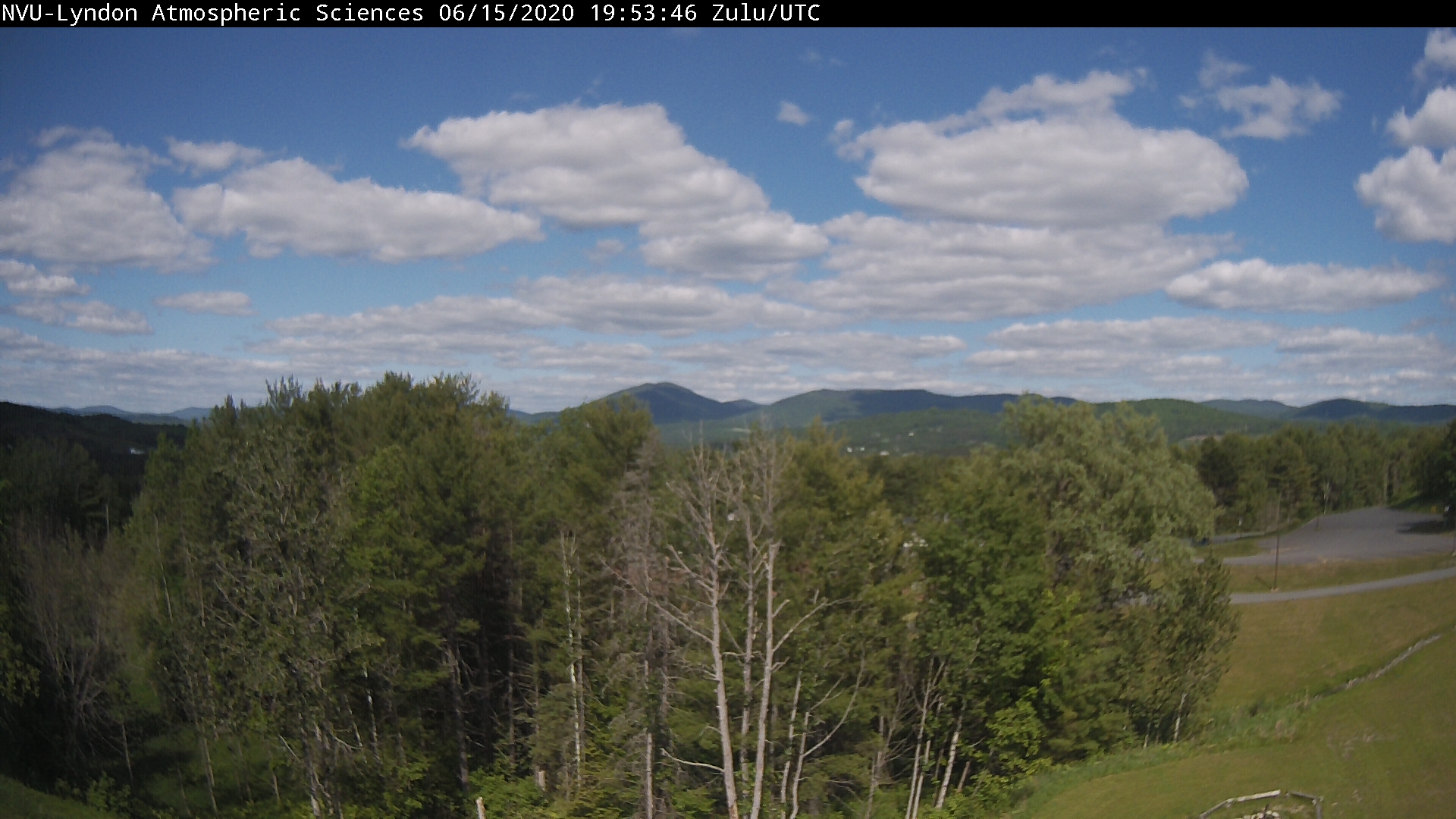
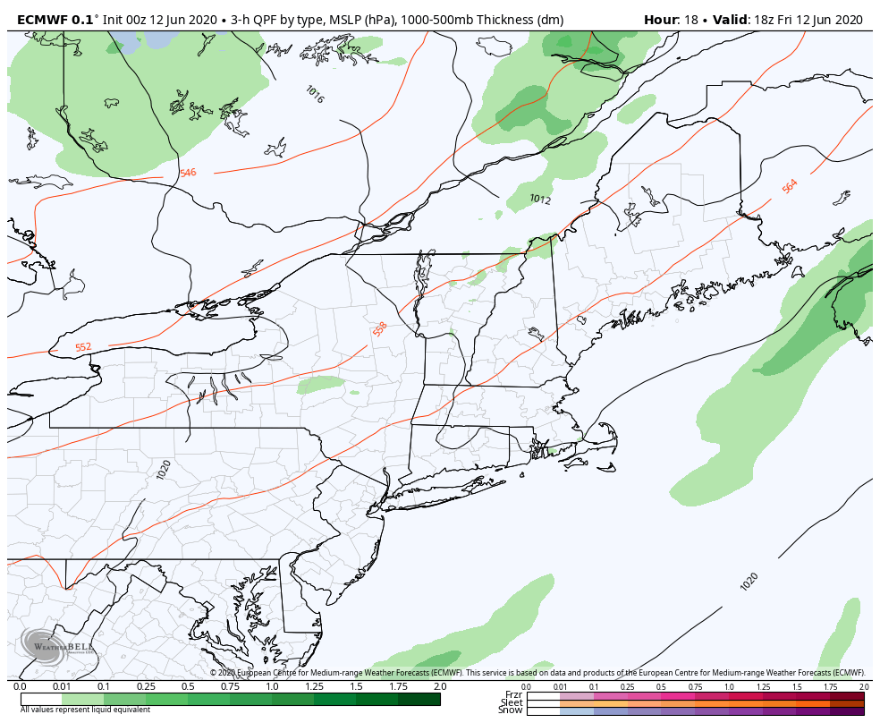
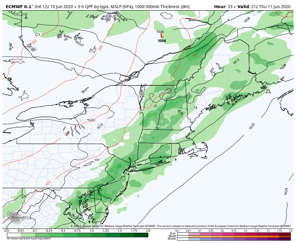
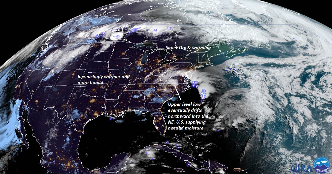
FRIDAY: Sunshine with a few afternoon clouds. Hot and slightly more humid. Isolated late afternoon thunderstorms southern. A high around 90.
Summer Solstice hits 5:43 PM Saturday
SATURDAY: Mostly sunny. Hot and more muggy. Widely scattered afternoon thunderstorms, mainly central and southern Green Mountains. A low in the low 60s. A high in the low 90s.
SUNDAY: Isolated morning valley fog, then partly to mostly sunny, hot hazy and humid. Scattered afternoon/early evening thunderstorms, mainly northern areas. A low 60 to 65. A high in the upper 80s to near 90.
MONDAY: Isolated morning fog then mixed sun and clouds. Chance for late day thunderstorms. Sticky. A low around 65. A high mid to upper 80s.
Average lows 50 to 55, average highs mid 70s to around 80.
RH/6-17[end]