Updated Wednesday Morning Forecast — June 24th, 2020

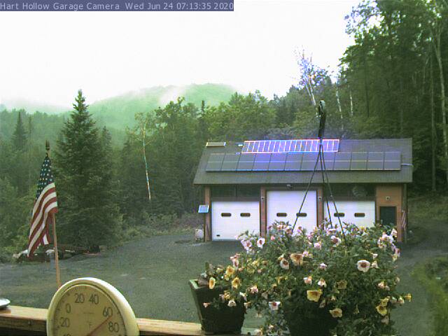
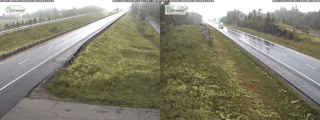
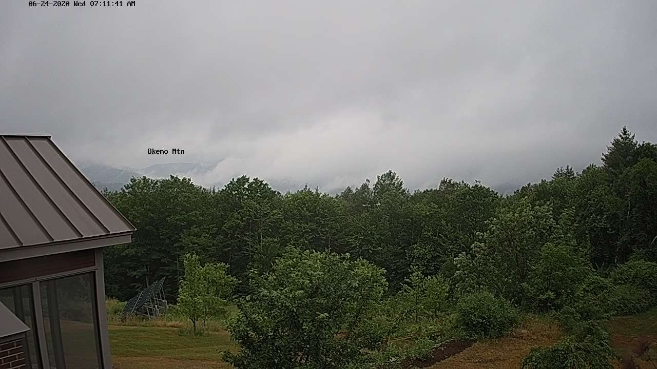
TODAY: Showers with a few rumbles of thunder move thru this morning, some briefly heavy. Skies become mostly sunny this afternoon. Not so hot and turning much less humid late. A high around 80. South to southwest breeze 10 to 15 mph.

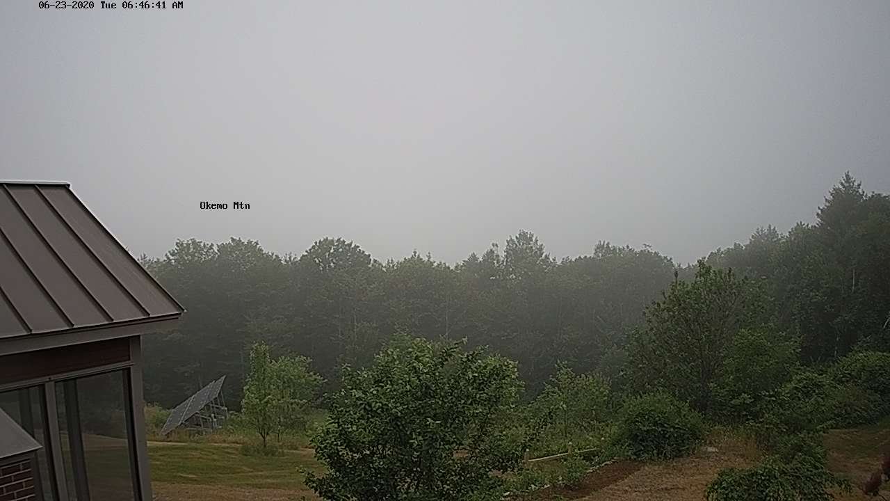
TONIGHT: Clear less humid and cooler. Patchy valley fog. A low 50 to 55. Light west to southwest winds.

THURSDAY: Pick of the week. Patchy morning fog, then mostly sunny, less humid with a few more early afternoon clouds. A high mid-70s. West to southwest breeze 10 to 20 mph in the afternoon.

Looking further ahead…

THURSDAY NIGHT: Scattered clouds. Patchy valley fog. A low around 55.

FRIDAY: Patchy valley fog, then mixed sun and clouds. Chance for a few shows northern areas late afternoon. A high near 80.

SATURDAY: Morning fog then periods of sunshine before increasing clouds. Rising chance for afternoon showers and isolated thunderstorms. Some locally heavy. Turning muggy in the afternoon. A low around 60. A high 75 to 80.

SUNDAY: Clouds and sun after morning valley fog. Widely scattered showers and thunderstorms. A low 60 to 65.
Moderate humidity levels. A high upper 70s to near 80.

MONDAY: More clouds than sun. Chance for showers and thunderstorms. Moderately humid. A low 55 to 60. A high near 75.

Average lows mid-50s to around 60, average highs mid-70s to low 80s.

RH/6-24[end]

Updated Tuesday Evening Forecast — June 23rd, 2020

TONIGHT: Isolated showers and thunderstorms wind down, otherwise partly cloudy with patchy valley fog. Very muggy. Chance for more showers and storms developing toward morning Champlain Valley. A low upper 60s to around 70. South winds 10 mph.

TOMORROW: Showers and a few thunderstorms likely thru early afternoon with locally heavy downpours possible. Skies become partly to mostly sunny in the afternoon. Muggy, but not so hot. A high 80 to 85. South to southwest breeze 10 to 15 mph.

WEDNESDAY NIGHT: Clear less humid and cooler. Patchy valley fog. A low 50 to 55. Light west to southwest winds.

THURSDAY: Pick of the week. Patchy morning fog, then mostly sunny, less humid with a few more early afternoon clouds. A high upper 70s to around 80. West to southwest breeze 10 to 20 mph in the afternoon.

Looking further ahead…

THURSDAY NIGHT: Scattered clouds. Patchy valley fog. A low around 55.

FRIDAY: Patchy valley fog, then mixed sun and clouds. A high near 80.

SATURDAY: Morning fog then periods of sunshine before increasing clouds. Rising chance for afternoon showers and thunderstorms especially northern areas early overspreading the region, some strong and locally heavy. A low 55 to 60. A high around 80.

SUNDAY: Clouds and sun. Chance for isolated showers and storms. A low around 65. A high near 80.

Average lows mid-50s to around 60, average highs mid-70s to low 80s.

RH/6-23[end]

Updated Tuesday Morning forecast — June 23rd, 2020

TODAY: Patchy morning fog burns off quickly to mostly sunny skies. More mountain cumulus build ups with isolated to widely scattered afternoon & early evening thunderstorms…especially southern areas. Warm and sticky. Near record high around 90. South winds 10 to 15 mph.

TONIGHT: Isolated showers and thunderstorms wind down, otherwise partly cloudy with patchy valley fog. Very muggy. Chance for more showers and storms developing toward morning. A low upper 60s to around 70. Southeast winds 10 mph.

WEDNESDAY: Partly to mostly cloudy. Scattered showers and thunderstorms…some strong with locally heavy downpours especially eastern areas. Warm and muggy, but not as hot. A high 80 to 85. South to southwest breeze 10 mph.

Looking further ahead…

WEDNESDAY NIGHT: Early evening shower and storms exit before midnight then clearing. Patchy valley fog. A low 50 to 55.

THURSDAY: Pick of the week. Patchy morning fog, then mostly sunny, less humid. A high upper 70s to around 80.

FRIDAY: Patchy valley fog, then partly to mostly sunny. A low around 55. A high near 80.

SATURDAY: Sunshine giving way to more clouds. Chance for late afternoon showers and thunderstorms. A low 55 to 60. A high around 80.

SUNDAY: Lots of clouds mixing with intervals of sun. Chance for showers and thunderstorms. A low around 65. A high near 80.

Average lows mid-50s to around 60, average highs mid-70s to low 80s.

RH/6-23[end]

Updated Monday Evening Forecast — June 22nd, 2020

TONIGHT: Isolated showers and storms dissipating early this evening, then mostly clear with patchy valley fog overnight. Continued muggy. A low around 65. Light southeast winds.

TOMORROW: Patchy morning fog then lots of sun mixing with more clouds. Widely scattered afternoon & early evening thunderstorms…especially southern areas. Warm and sticky. A high around 90. South winds 10 to 15 mph.

TUESDAY NIGHT: Isolated showers and thunderstorms winding down, otherwise partly cloudy with patchy valley fog. Very muggy. A low upper 60s to around 70. Southeast winds 10 mph.

WEDNESDAY: Partly to mostly cloudy. Scattered showers and thunderstorms…some strong with locally heavy downpours. Warm and muggy, but not as hot. A high in the lower 80s. South to southwest breeze 10 mph.

Looking further ahead…

WEDNESDAY NIGHT: Any leftover shower and storms exit before midnight then clearing. Patchy valley fog. A low 50 to 55.

THURSDAY: Pick of the week. Patchy morning fog, then mostly sunny, less humid. A high upper 70s to around 80.

FRIDAY: Patchy valley fog, then partly to mostly sunny. A low around 55. A high near 80.

SATURDAY: Sunshine giving way to more clouds. Chance for late afternoon showers and thunderstorms. A low 55 to 60. A high 85 to 90.

Average lows mid-50s to around 60, average highs mid-70s to low 80s.

RH/6-22[end]

Updated Monday Morning Forecast — June 22nd, 2020

TODAY: Patchy morning fog burns off to partly to mostly sunny skies. Hot and sticky. Widely scattered thunderstorms early to mid-afternoon lasting to around sunset. Some storms briefly heavy. A high upper 80s to low 90s. Light south to southwest winds.

TONIGHT: Widely scattered showers and thunderstorms dissipating early, otherwise scattered clouds or mostly clear with patchy valley fog. Continued muggy. A low around 65. Light southeast winds.

TUESDAY: Patchy morning fog then partly sunny. Scattered afternoon & early evening thunderstorms. Some storms briefly heavy. Warm and sticky. A high ranging mid-80s to low 90s. South winds 10 to 15 mph.

Looking further ahead…

TUESDAY NIGHT: Widely scattered showers and thunderstorms winding down, otherwise partly cloudy with patchy valley fog. A low 65 to 70.

WEDNESDAY: Partly to mostly cloudy. Scattered showers and thunderstorms some possibly strong to severe with locally heavy downpours. Warm and muggy until later in the evening. A high in the mid-80s.

THURSDAY: Pick of the week. Patchy morning fog, then mostly sunny, less humid. A low around 55. A high around 80.

FRIDAY: Patchy valley fog, then partly to mostly sunny. A low around 55. A high near 80.

Average lows mid-50s to around 60, average highs mid-70s to low 80s.

RH/6-22[end]

Updated Friday Night Forecast — June 19th, 2020

TONIGHT: Scattered clouds with isolated brief shower early, then mostly clear. Isolated valley fog. A low around 60. Light south winds.

TOMORROW: Mostly sunny. Hot and more muggy. Maybe an isolated late afternoon thunderstorm near the Greens. A high mid-80s to near 90. Light southwest winds.

Summer Solstice hits 5:43 PM Saturday

SATURDAY NIGHT: Isolated early evening thunderstorms diminish. Muggy. A low 60 to 65. Light south winds.

SUNDAY: Morning valley fog, then partly to mostly sunny, warm & humid. Maybe an isolated late day thunderstorm. A high mid-80s to near 90. Light southwest breeze.

Looking further ahead…

SUNDAY NIGHT: A few evening clouds, then mostly clear but still muggy. A low around 65.

MONDAY: Isolated morning fog then mixed sun and clouds. Isolated late day thunderstorms.. A high upper 80s to near 90.

TUESDAY: Isolated morning fog then partly sunny. Widely scattered afternoon thunderstorms. Warm and sticky. A low in the mid-60s. A high in the upper 80s to near 90.

WEDNESDAY: Partly to mostly cloudy. Scattered showers and thunderstorms. Warm and sticky early then not as humid in the afternoon. A low 65 to 70. A high in the mid-80s.

Average lows low to mid 50s, average highs mid 70s to around 80.

RH/6-19[end]

Updated Friday morning Forecast — June 19th, 2020

TODAY: Sunshine with afternoon clouds. Hot and a little more muggy. Isolated mid to late afternoon thunderstorms near and east of the Greens. A high in the upper 80s to near 90. Light southwest winds.

TONIGHT: Isolated early evening thunderstorms diminish, then mostly clear. Isolated valley fog. A low around 60. Light south winds.

Summer Solstice hits 5:43 PM Saturday

SATURDAY: Mostly sunny. Hot and more muggy. Chance for hit and miss afternoon thunderstorms near the central and northern Greens. A high upper 80s to near 90. Light southwest winds.

Looking further ahead…

SATURDAY NIGHT: Isolated early evening thunderstorms diminish. Muggy. A low 60 to 65.

SUNDAY: Morning valley fog, then partly to mostly sunny, warm & humid. Chance for afternoon showers and thunderstorms, mainly near the Greens. A high mid-80s to near 90.

MONDAY: Isolated morning fog then mixed sun and clouds. Isolated late day thunderstorms. Sticky. A low around 65. A high upper 80s to near 90.

TUESDAY: Isolated morning fog then partly sunny. Widely scattered afternoon thunderstorms. Warm and sticky. A low in the mid-60s. A high in the upper 80s to near 90.

WEDNESDAY: Partly to mostly cloudy. Scattered showers and thunderstorms. Warm and sticky early then not as humid in the afternoon. A low 65 to 70. A high in the mid-80s.

Average lows low to mid 50s, average highs mid 70s to around 80.

RH/6-19[end]

Updated Thursday Evening forecast — June 18th, 2020

TONIGHT: A couple high clouds otherwise mostly clear. Isolated valley fog. A low upper 50s to around 60. Light south winds.

TOMORROW: Sunshine with a few afternoon clouds. Hot and a lite more muggy. Isolated late afternoon thunderstorms near the Green Mountains. A high around 90. Light southwest winds.

FRIDAY NIGHT: Isolated early evening thunderstorms diminish, then mostly clear. Isolated valley fog. A low around 60. Light south winds.

Summer Solstice hits 5:43 PM Saturday

SATURDAY: Mostly sunny. Hot and more muggy. Chance for hit and miss afternoon thunderstorms near the central and northern Greens. A high in the low 90s. Light southwest winds.

Looking further ahead…

SATURDAY NIGHT: Isolated early evening thunderstorms diminish. A low 60 to 65.

SUNDAY: Morning valley fog, then partly to mostly sunny, hazy warm & humid. Chance for afternoon showers and thunderstorms, mainly near the Greens.. A high 85 to 90.

MONDAY: Isolated morning fog then mixed sun and clouds. Chance for late day thunderstorms, some possibly strong. Sticky. A low around 65. A high mid to upper 80s.

TUESDAY: Isolated morning fog then sun mixing with clouds. Isolated afternoon thunderstorms. A low in the mid-60s. A high in the low 90s.

Average lows low to mid 50s, average highs mid 70s to around 80.

RH/6-18[end]

Updated Thursday Morning Forecast — June 18th, 2020

TODAY: Mostly sunny with a few high clouds. Warm to hot but not humid. A high upper 80s to around 90. Light southwest winds.

TONIGHT: Fair with a few high clouds. Patchy valley fog. A low in the upper 50s. Light south winds.

FRIDAY: Sunshine with a few afternoon clouds. Hot and slightly more humid. Isolated to widely scattered late afternoon thunderstorms especially near the Green Mountains. A high around 90. Light southwest winds.

Looking further ahead…

FRIDAY NIGHT: Scattered clouds eventually clearing. Isolated valley fog. A low near 60.

Summer Solstice hits 5:43 PM Saturday

SATURDAY: Mostly sunny. Hot and more muggy. Isolated to widely scattered afternoon thunderstorms, mainly central and southern Green Mountains. A high in the low 90s.

SUNDAY: Morning valley fog, then partly to mostly sunny, hazy warm & humid. Chance for afternoon showers and thunderstorms, mainly near the Greens. A low 60 to 65. A high 85 to 90.

MONDAY: Isolated morning fog then mixed sun and clouds. Chance for late day thunderstorms, some possibly strong. Sticky. A low around 65. A high mid to upper 80s.

TUESDAY: Isolated morning fog then sun mixing with clouds. Chance for afternoon thunderstorms. A low in the mid-60s. A high upper 80s to near 90.

Average lows low to mid 50s, average highs mid 70s to around 80.

RH/6-18[end]

Updated Wednesday Evening Forecast — June 17th, 2020

TONIGHT: Clear skies. Isolated valley fog. A low in the low to mid-50s. Little wind.

TOMORROW: Mostly sunny. Warm to hot with low humidity. A high upper 80s to around 90. Light southwest winds.

THURSDAY NIGHT: Clear skies. A low in the upper 50s. Light south winds.

FRIDAY: Sunshine with a few afternoon clouds. Hot and slightly more humid. Isolated late afternoon thunderstorms southern Green Mountains. A high around 90. Light southwest winds.

Looking further ahead…

FRIDAY NIGHT: Scattered clouds eventually clearing. A low near 60.

Summer Solstice hits 5:43 PM Saturday

SATURDAY: Mostly sunny. Hot and more muggy. Isolated to widely scattered afternoon thunderstorms, central and southern Green Mountains. A high in the low 90s.

SUNDAY: Isolated morning valley fog, then partly to mostly sunny, hazy warm & humid. Widely scattered showers and thunderstorms, mainly northern areas. A low 60 to 65. A high 85 to 90.

MONDAY: Isolated morning fog then mixed sun and clouds. Chance for late day thunderstorms, some possibly strong. Sticky. A low around 65. A high mid to upper 80s.

TUESDAY: Isolated morning fog then sun and clouds. Chance for afternoon thunderstorms. A low in the mid-60s. A high upper 80s to near 90.

Average lows 50 to 55, average highs mid 70s to around 80.

RH/6-17[end]