
TONIGHT: Partly to mostly cloudy. Widely scattered showers this evening briefly heavy southern areas…and across northern areas overnight with chance for thunder. Turningmuggier. A low around 60. Southeast breeze 10 to 15 mph.
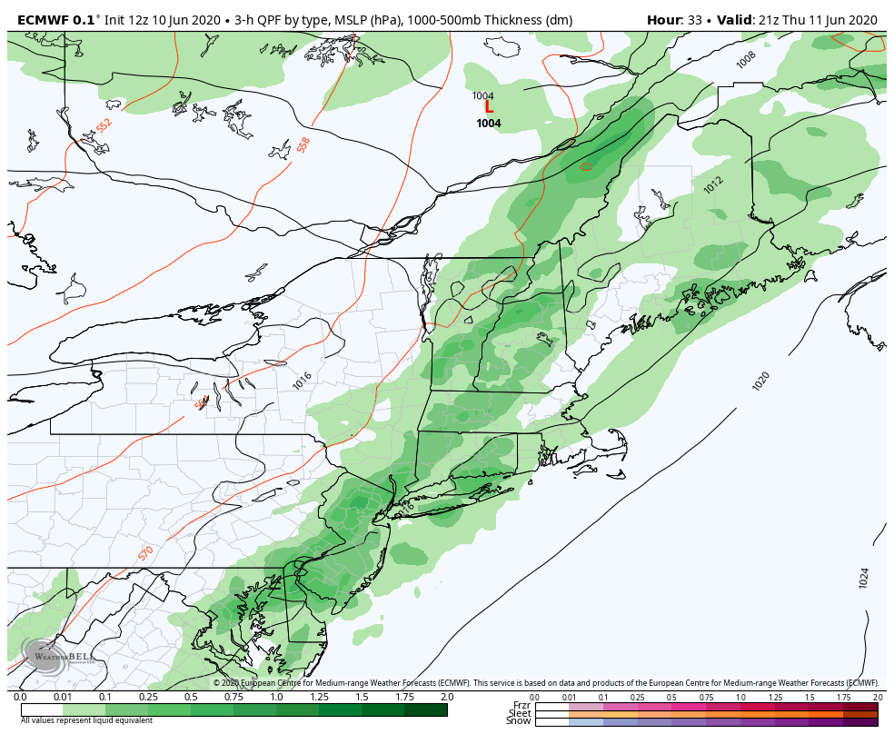
TOMORROW: Lots of clouds in the morning, with intervals of afternoon sunshine & rather sticky. A round or two of showers and thunderstorms…one or two locally strong and heavy late. A high around 80. Turning less humid by evening. South to southwest breeze 10 to 20 mph.
THURSDAY NIGHT: Evening showers and thunderstorms exit early…then clearing cooler and less humid. Patchy valley fog. A low 45 to 50. Light west winds.
FRIDAY: Pick of the week. Patchy fog, then periods of sunshine with clouds in the afternoon. Pleasant. A high in the mid-70s. West to southwest winds 10 to 15 mph.
Looking further ahead…
FRIDAY NIGHT: Scattered clouds. Patchy valley fog. A low 45 to 50.
SATURDAY: Sunshine then more clouds in the afternoon. Isolated sprinkles. A high 65 to 70.
SUNDAY: Partly to mostly sunny. A low 50 to 55. A high upper 60s to low 70s.
MONDAY: Patchy morning drizzle and areas of fog, then partly sunny.A low in the upper 50s. A high 70 to 75.
Average lows upper 40s to mid-50s, average highs low to mid 70s.
RH/6-10[end]
