Updated Monday morning forecast — December 21st, 2020

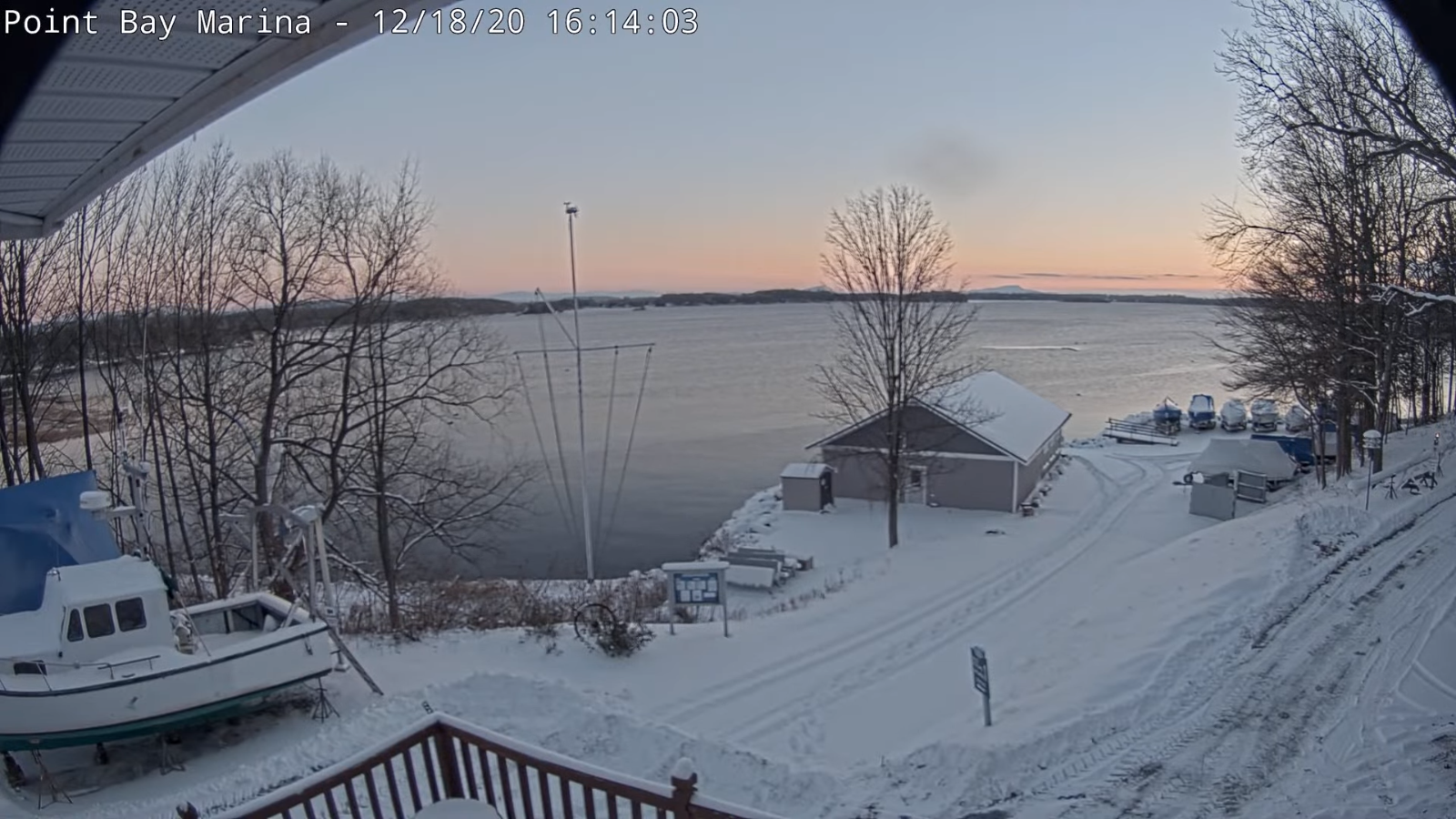
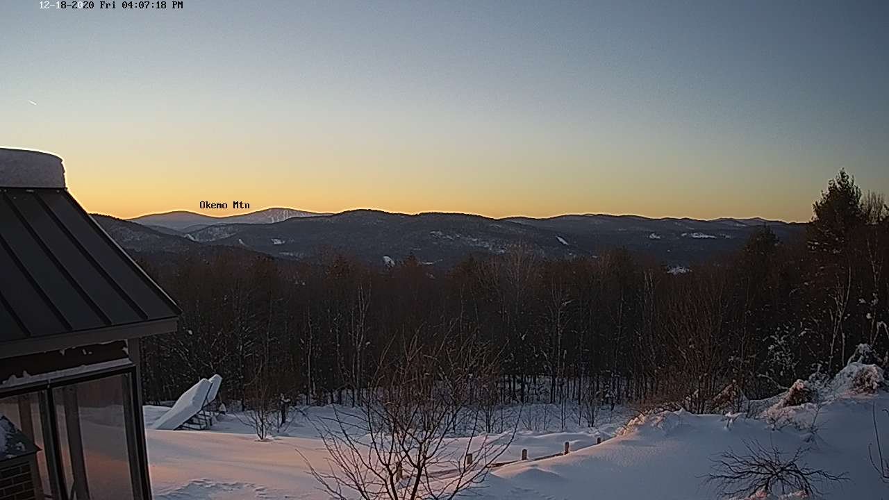
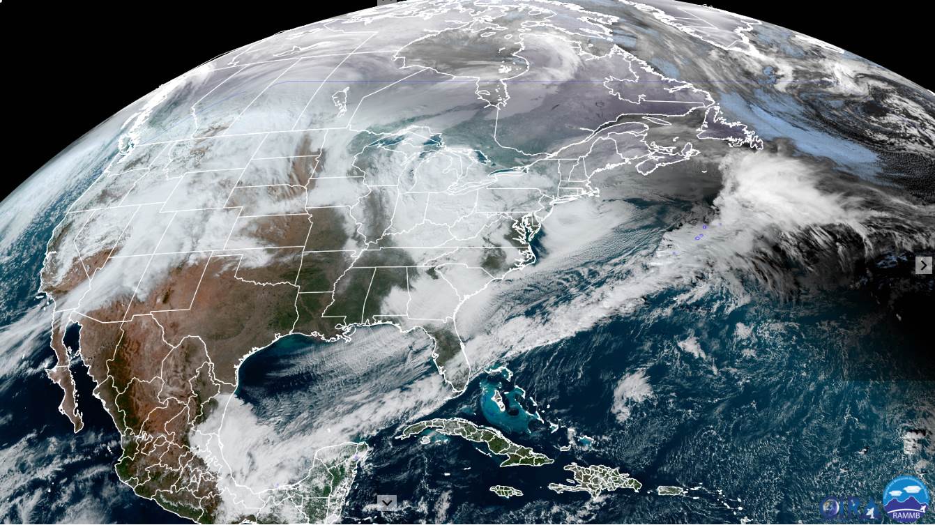
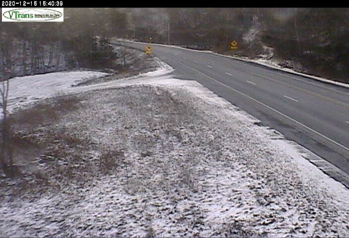
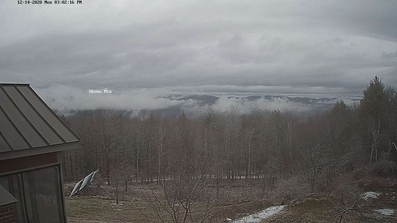
TODAY: Clouds mixing with few intervals of sunshine. A high in the mid-30s. Light southwest winds.

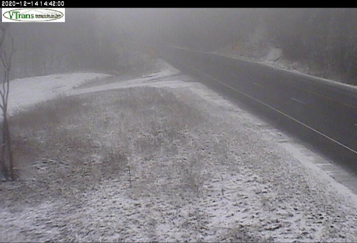
TONIGHT: Considerable cloudiness. A rising chance for flurries or light snow showers overnight with minor accumulation. A low around 25. Little wind.

TUESDAY: Considerable cloudiness. Scattered flurries…mainly northern mountains. Dusting to half inch in spots. A high 32 to 35. Westerly breeze 10 mph.

Looking further ahead…

TUESDAY NIGHT: A few evening flurries with a dusting in spots. Otherwise partial clearing later overnight. A low around 15.

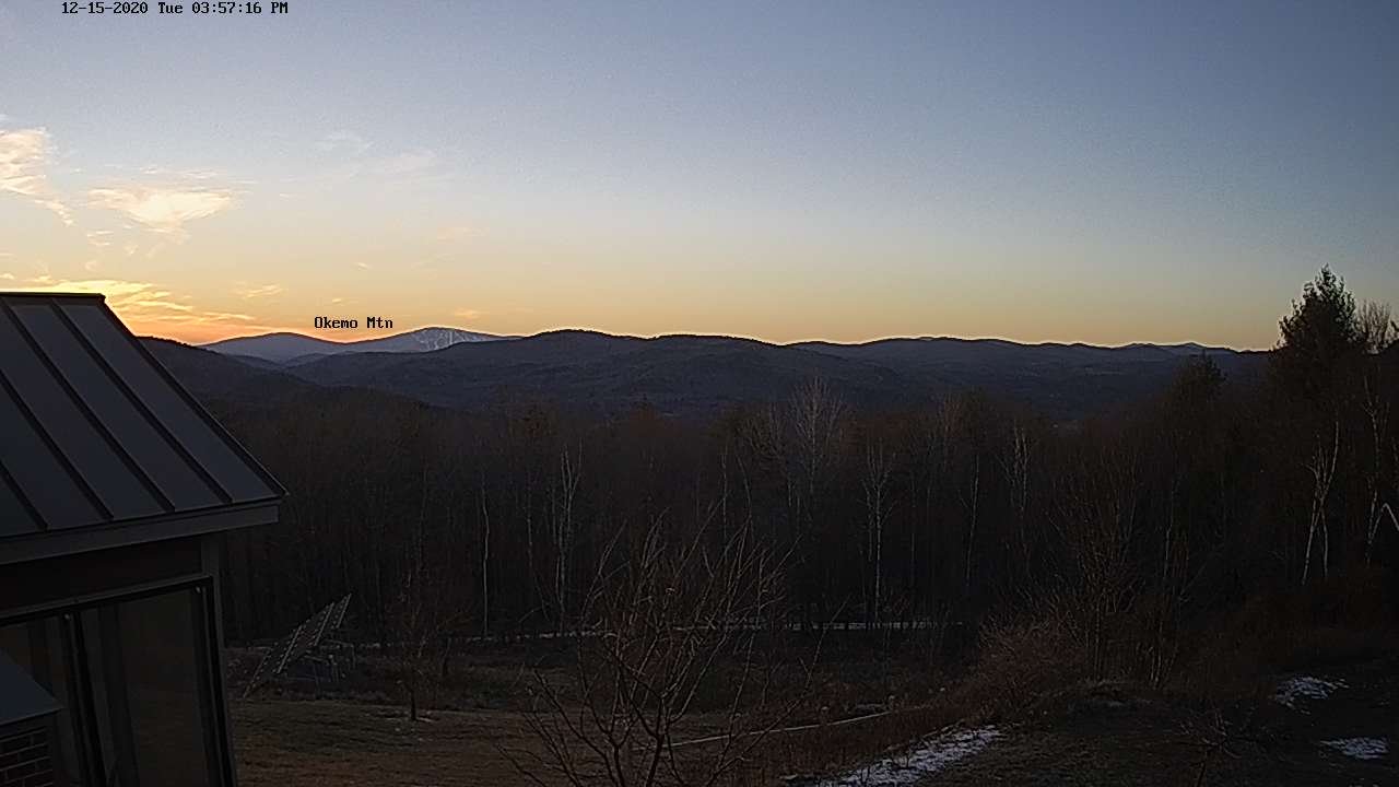
WEDNESDAY: Sunshine becoming filtered thru high clouds in the afternoon. Breezy especially toward the Champlain valley. A high upper 20s to near 30.

THURSDAY: Thickening clouds breezy and warmer. A rising chance for rain later in the afternoon. A low around 25. A late day high around 45.

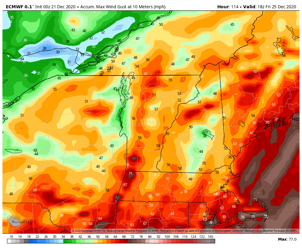
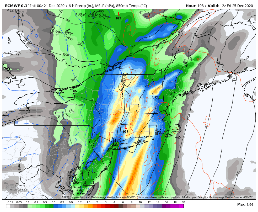
THURSDAY NIGHT Christmas Eve: Moderate to locally heavy wind-blown rain, breezy to windy. Milder with temperatures in the upper 40s to around 50.

FRIDAY Christmas Day: Moderate rain tapers off to widely scattered snow showers/flurries late. Temperatures around 50…turning sharply colder late afternoonpossible flash-freeze icy travel.

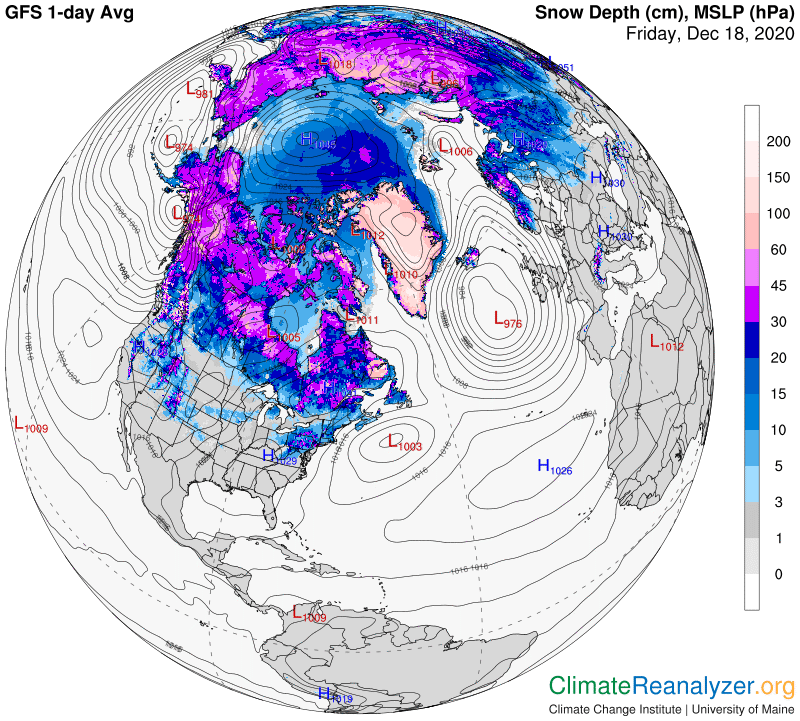
SATURDAY & SUNDAY: Clouds mixed with few periods of sunshine. Chance for mountain flurries. Lows in the teens. Highs

in the 20s.

Average low upper single digits to mid-teens, Average highs mid-20s to low-30s.

Peak of Winter (coldest averages) January 23rd. End of Winter March 9th… based off local climatology.

RH/12-21 category forecast][end]

Updated Friday Evening Forecast — December 18th, 2020

TONIGHT: Mostly clear & frigid. A low 5 below to 5 above. Little wind.

TOMORROW: Sunshine filtered by high cloudiness. A high in the mid-20s. Light south winds.

SATURDAY NIGHT: Thickening clouds. Maybe a few flurries overnight. A low in the mid-teens. Light south winds.

SUNDAY: Clouds maybe a few intervals of sun. A rising chance for a few flurries or light snow showers with perhaps a dusting. A high around 30. Light south winds but breezy near Lake Champlain.

Looking further ahead…

SUNDAY NIGHT: Lots of clouds. A few flurries, exiting overnight…a dusting possible. A low around 25.

Winter Solstice 5:02 AM

MONDAY: Maybe a morning flurry northwestern areas…otherwise clouds mixing with intervals of sunshine. A high mid to upper 30s.

TUESDAY: Considerable cloudiness. Maybe a mountain flurry. A low 20 to 25. A high near 35.

WEDNESDAY: Sunshine becoming filtered thru high clouds. Breezy in the afternoon. A low mid-teens to low 20s. A high mid-30s.

Average low ranging thru the teens, Average highs upper 20s to mid-30s.

Peak of Winter (coldest averages) January 23rd. End of Winter March 9th… based off local climatology.

RH/12-18 category forecast][end]

Updated Friday Morning Forecast — December 18th, 2020

TODAY: A beautiful winter day…still cold. Bright sun and blue skies. A high near 25. Light north winds.

TONIGHT: Mostly clear & frigid. A low 5 below to 5 above. Little wind.

SATURDAY: Lots of sunshine becoming filtered by high cloudiness. A high in the upper 20s to near 30. Light south winds.

Looking further ahead…

SATURDAY NIGHT: Fair skies early, then thickening clouds overnight. Maybe a few flurries overnight. A low in the mid-teens.

SUNDAY: Clouds maybe a few breaks of sun. Chance for a few wet snow showers or flurries, dusting to an inch mainly higher terrain. A high around 32.

Winter Solstice 5:02 AM

MONDAY: Maybe a morning flurry northwestern areas…otherwise clouds mixing with intervals of sunshine. A low around 25. A high mid to upper 30s.

TUESDAY: Considerable cloudiness. Maybe a mountain flurry. A low 20 to 25. A high near 35.

WEDNESDAY: Sunshine becoming filtered thru high clouds. Breezy in the afternoon. A low mid-teens to low 20s. A high mid-30s.

Average low ranging thru the teens, Average highs upper 20s to mid-30s.

Peak of Winter (coldest averages) January 23rd. End of Winter March 9th… based off local climatology.

RH/12-17 category forecast][end]

Updated Thursday Evening Forecast — December 17th, 2020

TONIGHT: Gradual clearing from west to east. A low 5 below to 5 above. Light north winds.

TOMORROW: A beautiful winter day…still rather cold. Bright sun and blue skies. A high 20 to 25. Light north winds.

FRIDAY NIGHT: Mostly clear & frigid. A low 5 below to 5 above. Little wind.

SATURDAY: Lots of sunshine becoming filtered by high cloudiness. A high 25 to 30. Light south winds.

Looking further ahead…

SATURDAY NIGHT: Chance for a few flurries overnight. A low 15 to 20.

SUNDAY: Becoming cloudy. Chance for light wet snow showers or flurries, around an inch accumulation. A high around 30.

Winter Solstice 5:02 AM

MONDAY: Maybe a morning flurry northwestern areas…otherwise clouds mixing with intervals of sunshine. A low around 25. A high 35 to 40.

TUESDAY: Mostly cloudy. Scattered flurries. A low around 20. A high 30 to 35.

Average low ranging thru the teens, Average highs upper 20s to mid-30s.

Peak of Winter (coldest averages) January 23rd. End of Winter March 9th… based off local climatology.

RH/12-17 category forecast][end]

Updated Thursday Morning Forecast — December 17th, 2020

Winter Weather Advisory Addison to Orange Counties, Winter Storm Warning Rutland and Windsor counties south expires at 4 PM

TODAY: Gray. Mostly light snow briefly moderate at times Barre Montpelier area south thru late morning & moderate to heavy Rutland Windsor counties south…winding down this afternoon. Total accumulation dusting to 3” far northern areas…about 2 to locally 5”Barre-Montpelier to Saint Johnsbury…10 to 20” with isolated higher amounts southern 4 counties. A high around 20. Light north to northeast winds.

TONIGHT: A few leftover early evening flurries…then gradual clearing. A low 5 below to 5 above. Light north winds.

FRIDAY: A beautiful winter day…still rather cold. Bright sun and blue skies. A high in the mid-20s. Light north winds.

Looking further ahead…

FRIDAY NIGHT: Mostly clear & frigid. A low 5 below to 10 above.

SATURDAY: Lots of sunshine becoming filtered by high cloudiness. A high 25 to 30.

SUNDAY: Becoming cloudy. Chance for light wet snow or snow showers, some minor accumulation. A low mid-teens to low 20s.

A high around 30.

MONDAY: Maybe a morning flurry northwestern areas…otherwise clouds mixing with intervals of sunshine. A low around 25. A high mid to upper 30s.

Average low ranging thru the teens, Average highs upper 20s to mid-30s.

Peak of Winter (coldest averages) January 23rd. End of Winter March 9th… based off local climatology.

RH/12-15 category forecast][end]

Updated Wednesday Evening Forecast — December 16th, 2020

Winter Weather Advisory Addison to Orange Counties with Winter Storm Warning Rutland and Windsor counties south expires at 4 PM Thursday

TONIGHT: Cloudy. Accumulating snow developing this evening southern Vermont…spreading north after midnight. Expect snow coated roads affecting travel overnight. Temperatures holding in the low to mid-teens. Light northeast winds.

TOMORROW: Gray. Mostly light snow briefly moderate at times southern areas in the morning…winding down mid to late afternoon. Total accumulation dusting to 2” far northern areas…about 2 to 4”Barre-Montpelier to Saint Johnsbury and 6 to locally 12”southern Vermont. A high around 20. Light north to northeast winds.

THURSDAY NIGHT: Clear and frigid. A low 5 below to 5 above. Light north winds.

FRIDAY: A beautiful winter day…still rather cold. Bright sun and blue skies. A high in the upper 20s. Light north winds.

Looking further ahead…

FRIDAY NIGHT: Mostly clear & frigid. A low 5 below to 10 above.

SATURDAY: Lots of sunshine becoming filtered by high cloudiness. Not as cold in the afternoon with a high around 35.

SUNDAY: Considerable cloudiness. Chance for a few snow showers or flurries. A low 20 to 25. A high near 32.

MONDAY: Clouds mixing with sunshine. A low in the 20s. A high upper 30s to around 40.

Average low ranging thru the teens, Average highs upper 20s to mid-30s.

Peak of Winter (coldest averages) January 23rd. End of Winter March 9th… based off local climatology.

RH/12-15 category forecast][end]

Updated Wednesday Morning Forecast — December 16th, 2020

TODAY: High cloudiness with a few hints of sun early. Thickening clouds in the afternoon. A high upper teens to around 20. Light northeast winds.

Winter Weather Advisory Addison to Orange Counties with Winter Storm Warning Rutland and Windsor counties south…

TONIGHT: Cloudy. Accumulating snow developing this evening southern Vermont…spreading north after midnight. Expect snow coated roads affecting travel overnight. An evening low 5 to 15 degrees. Light north winds.

THURSDAY: Gray. Mostly light snow briefly moderate at times southern areas in the morning…winding down mid to late afternoon. Total accumulation dusting to 2” far northern areas…about 2 to locally 5”Barre-Montpelier to Saint Johnsbury and 6 to locally 10”southern Vermont. A high in the low 20s. Light northeast wind.

Looking further ahead…

THURSDAY NIGHT: Scattered clouds. Frigid. A low zero to 10 above.

FRIDAY: Mostly sunny. A high in the mid to upper 20s.

SATURDAY: Filtered sun through high cloudiness after a cold start. A low in the single digits above zero. Not as cold in the afternoon. A high around 32.

SUNDAY: Considerable cloudiness. Chance for a few snow showers or flurries. A low 15 to 20. A high 32 to 35.

Average low ranging thru the teens, Average highs upper 20s to mid-30s.

Peak of Winter (coldest averages) January 23rd. End of Winter March 9th… based off local climatology.

RH/12-15 category forecast][end]

Updated Tuesday Evening Forecast — December 15th, 2020

TONIGHT: Clear this evening, then increasing high cloudiness. Rather cold. A low 5 to 10 above. Light north to northwest winds.

TOMORROW: High cloudiness with a few hints of sun early. Thickening clouds in the afternoon. A high 15 to 20. Light northeast winds.

Winter Storm Watch Wednesday night into Thursday…Rutland and Windsor counties south…

WEDNESDAY NIGHT: Cloudy. Occasional light accumulating snow developing in the evening southern areas…spreading north after midnight. A dusting to 2” with more across southern areas up to locally 4”. A low 10 to 15. Light north winds.

THURSDAY: Gray. Periods of mostly light snow likely winding down mid to late afternoon. Additional accumulation 1 to 3 inches but 3 to 6” southern areas. A high in the low 20s. Light northeast wind.

Looking further ahead…

THURSDAY NIGHT: Scattered clouds. Frigid. A low in the single digits above zero.

FRIDAY: Mostly sunny. A high around 20.

SATURDAY: Filtered morning sun then increasing cloudiness. A low minus 5 colder spots to around 10 above. A high around 30.

SUNDAY: Considerable cloudiness. Chance for a few snow showers or flurries. A low 15 to 20. A high 32 to 35.

Average low ranging thru the teens, Average highs upper 20s to mid-30s.

Peak of Winter (coldest averages) January 23rd. End of Winter March 9th… based off local climatology.

RH/12-15 category forecast][end]

Updated Tuesday Morning Forecast — December 15th, 2020

TODAY: A couple leftover flurries especially northern areas. Otherwise clouds holding in the Northeast Kingdom…with increasing sunshine elsewhere this morning into the afternoon. Temperatures holding upper teens to mid-20s. Blustery northwest winds 10 to 20 mph…lowering wind chills.

TONIGHT: Mostly clear this evening, then increasing high cloudiness. Rather cold. A low 10 to 15 above. Light north to northwest winds.

WEDNESDAY: High cloudiness with a few hints of sun early. Thickening clouds in the afternoon. A high about 25. Light northeast winds.

Looking further ahead…

WEDNESDAY NIGHT: Cloudy. Occasional light accumulating snow developing before daybreak. A dusting to an inch central areas with more far southern areas. A low in the mid-teens.

THURSDAY: Gray skies giving way to some late day partial clearing. Good chance for periods of light snow thru early afternoon… about dusting to locally 3” with more near the Massachusetts border. A high around 25.

FRIDAY: Mostly sunny. A low 10 to 15 above. A high in the mid-20s.

SATURDAY: Filtered morning sun then increasing cloudiness. A low around 10. A high in the low 30s.

Average low ranging thru the teens, Average highs upper 20s to mid-30s.

Peak of Winter (coldest averages) January 23rd. End of Winter March 9th… based off local climatology.

RH/12-14 category forecast][end]

Updated Monday Evening Forecast — December 14th, 2020

TONIGHT: Evening clouds with scattered flurries. A dusting…to a half inch in spots. Partial clearing late evening & becoming blustery. A low upper teens to low 20s. West to northwest winds pick up 10 to 20 mph late evening on.

TOMORROW: Morning clouds with couple of flurries toward NE. Kingdom. Otherwise partial sunshine developing. A high in the mid-20s. Blustery northwest winds 10 to 20 mph…lowering wind chills.

TUESDAY NIGHT: Mostly clear then increasing high cloudiness. Rather cold. A low 10 to 15 above. Light north to northwest winds.

WEDNESDAY: High cloudiness, may7be some intervals of sun. A high about 25. Light northeast winds.

Looking further ahead…

WEDNESDAY NIGHT: Thickening clouds. Chance for some spotty light snow Barre-Montpelier area south. A low in the mid-teens.

THURSDAY: Considerable cloudiness giving way to increasing sunshine in the afternoon. Chance for some spotty light snow Barre-Montpelier area south. Perhaps an inch accumulation southern areas. A high around 25.

FRIDAY: Mostly sunny. A low 10 to 15 above. A high in the mid-20s.

SATURDAY: Morning sun becomes filtered by high clouds. A low around 10. A high in the low 30s.

Average low ranging thru the teens, Average highs upper 20s to mid-30s.

Peak of Winter (coldest averages) January 23rd. End of Winter March 9th… based off local climatology.

RH/12-14 category forecast][end]