Updated Monday Evening Forecast — December 14th, 2020

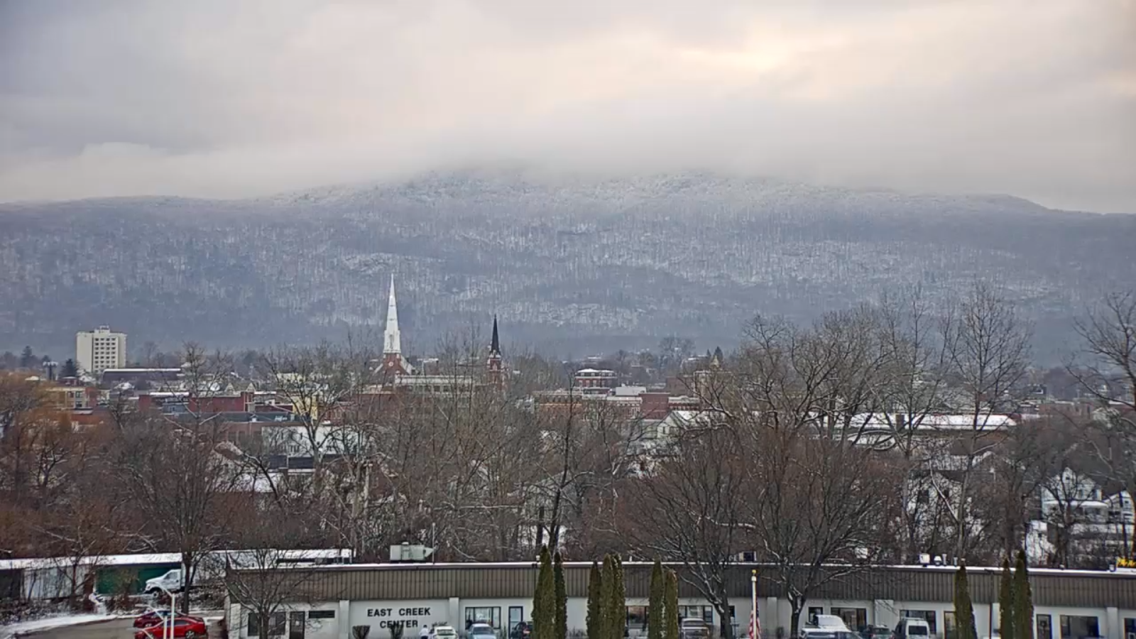
TONIGHT: Evening clouds with scattered flurries. A dusting…to a half inch in spots. Partial clearing late evening & becoming blustery. A low upper teens to low 20s. West to northwest winds pick up 10 to 20 mph late evening on.

TOMORROW: Morning clouds with couple of flurries toward NE. Kingdom. Otherwise partial sunshine developing. A high in the mid-20s. Blustery northwest winds 10 to 20 mph…lowering wind chills.

TUESDAY NIGHT: Mostly clear then increasing high cloudiness. Rather cold. A low 10 to 15 above. Light north to northwest winds.

WEDNESDAY: High cloudiness, may7be some intervals of sun. A high about 25. Light northeast winds.

Looking further ahead…

WEDNESDAY NIGHT: Thickening clouds. Chance for some spotty light snow Barre-Montpelier area south. A low in the mid-teens.

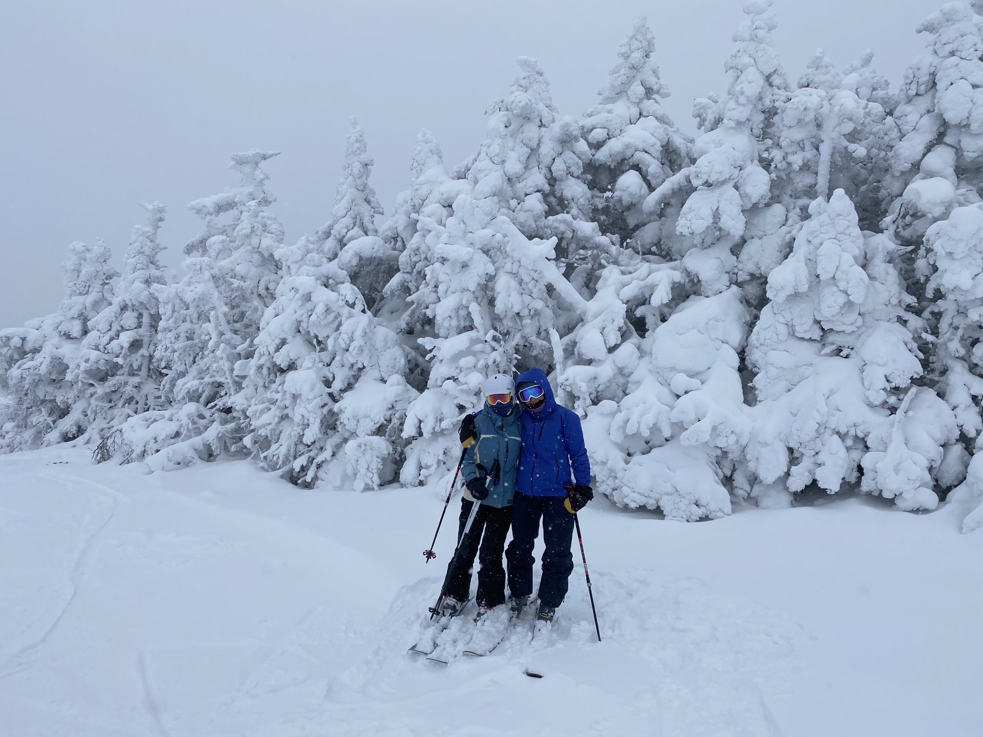
THURSDAY: Considerable cloudiness giving way to increasing sunshine in the afternoon. Chance for some spotty light snow Barre-Montpelier area south. Perhaps an inch accumulation southern areas. A high around 25.

FRIDAY: Mostly sunny. A low 10 to 15 above. A high in the mid-20s.

SATURDAY: Morning sun becomes filtered by high clouds. A low around 10. A high in the low 30s.

Average low ranging thru the teens, Average highs upper 20s to mid-30s.

Peak of Winter (coldest averages) January 23rd. End of Winter March 9th… based off local climatology.

RH/12-14 category forecast][end]

Updated Monday Morning Forecast — December 14th, 2020

TODAY: Lots of clouds with a few breaks of sun away from the mountains. Chance for a flurry far southern areas. A high 32 to 35. Light southwest winds this afternoon.

TONIGHT: Evening clouds with scattered snow showers or flurries a strong dusting in spots. Partial clearing after midnight & turning blustery. A low upper teens to around 20. West to northwest winds 10 to 20 mph especially overnight.

TUESDAY: Morning clouds then increasing sunshine. A high 20 to 25. Blustery northwest winds 10 to 20 mph…lowering wind chills.

Looking further ahead…

TUESDAY NIGHT: Partly cloudy & cold. A low 5 to 15 above.

WEDNESDAY: Thickening high clouds. A high in the mid-20s.

THURSDAY: Considerable cloudiness giving way to increasing sunshine in the afternoon. Chance for a period of light snow southern areas with a dusting to 2 inches possible. A low 15 to 20. A high 20 to 25.

FRIDAY: Mostly sunny. A low 5 to 15 above. A high in the 20s.

Average low ranging thru the teens, Average highs upper 20s to mid-30s.

Peak of Winter (coldest averages) January 23rd. End of Winter March 9th… based off local climatology.

RH/12-14 category forecast][end]

Updated Friday Evening Forecast — December 11th, 2020

TONIGHT: Fair & dry with lots of high cloudiness. A low around 30. Light winds.

TOMORROW: Considerable cloudiness. Widely scattered rain showers developing late.A high upper 30s to around 40. Light southeast winds.

SATURDAY NIGHT: Cloudy. Spotty light rain…with few pockets of freezing rain Northeast Kingdom valleys. Possible icy travel. A low 32 to 35. Light southeast winds.

SUNDAY: Mainly cloudy. Scattered rain showers mainly in the afternoon…exiting late. Breezy at times. A high in the mid-40s. South to southwest winds 10 to 15 mph, stronger Champlain Valley.

Looking further ahead…

SUNDAY NIGHT: Mostly cloudy. Blustery at times. A low upper 20s to around 30.

MONDAY: Lots of clouds. Chance for light snow or snow showers. Minor accumulation. A high in the mid-30s.

TUESDAY: Maybe a morning mountain flurry, otherwise becoming partly sunny and colder. A low around 15. A high around 30. Blustery northwest winds.

WEDNESDAY: Thickening clouds. A low 10 to 15. A high 25 to 30.

Average low in the teens, Average highs in the low to mid 30s.

Meteorological winter begins December 12th. Peak of Winter (coldest averages) January 23rd. End of Winter March 9th… based off local climatology.

RH/12-11 category forecast][end]

Updated Friday Morning Forecast — December 11th, 2020

TODAY: Clouds, mixing with a few sunny periods & a little warmer. A high 40 to 45. South winds 10 mph.

TONIGHT: Lots of clouds. Maybe a shower near the Quebec border late. A low around 30. Light winds.

SATURDAY: Mainly gray. Widely scattered rain showers developing late.A high upper 30s to around 40. Light east winds.

Looking further ahead…

SATURDAY NIGHT: Cloudy. Spotty light rain…with a risk for pockets of freezing rain Northeast Kingdom valleys. Watch for possible icy spots. A low 32 to 35.

SUNDAY: Mainly cloudy. Scattered rain showers especially in the afternoon. Breezy to windy at times. A high around 45.

MONDAY: Lots of clouds. Widely scattered rain & wet snow showers minimal accumulation high terrain. A low 25 to 30. A high in the mid-30s.

TUESDAY: Maybe a morning mountain flurry, otherwise becoming partly sunny with a cooling trend. A low 15 to 20. A high near 32. Blustery northwest winds.

WEDNESDAY: Sunshine…giving way to high clouds. A low around 10. A high in the mid-20s.

Average low in the teens, Average highs in the low to mid 30s.

Meteorological winter begins December 12th. Peak of Winter (coldest averages) January 23rd. End of Winter March 9th… based off local climatology. Note* Conditions more variable due to a warming climate especially in the arctic.

RH/12-119 category forecast][end]

Updated Thursday Evening Forecast — December 10th, 2020

TONIGHT: Mostly cloudy. A low in the mid-20s. Light south winds.

TOMORROW: Clouds, mixing with a few sunny periods & a little warmer. A high 40 to 45. South winds 10 mph.

FRIDAY NIGHT: Lots of clouds. Chance for a showers of mixed precipitation near the Quebec border after midnight. A low around 30. Light winds.

SATURDAY: Mainly gray. Couple rain showers near the Quebec border early, and again developing late.A high in the upper 30s but colder Northeast Kingdom. Light east winds.

Looking further ahead…

SATURDAY NIGHT: Cloudy. Spotty light rain…with a risk for pockets of freezing rain Northeast Kingdom valleys. Watch for icy spots and slick travel. A low near in the low 30s.

SUNDAY: Mainly cloudy. Chance for rain showers. Breezy to windy at times. A high around 45.

MONDAY: Lots of clouds. A low around 30. A high 35 to 40.

TUESDAY: Partly sunny & blustery. A low in the teens. A high 25 to 30. Gusty northwest winds.

Average low mid-teens to low-20s, Average highs in the 30s.

Meteorological winter begins December 12th. Peak of Winter (coldest averages) January 23rd. End of Winter March 9th… based off local climatology. Note* Conditions more variable due to a warming climate especially in the arctic.

RH/12-9 category forecast][end]

Updated Thursday Morning Weather — December 10th, 2020

TODAY: Occasional mountain flurries…with minor accumulations western slopes drying up by mid-day. Intervals of late afternoon sunshine developing. A high around 35. Northwest winds 10 to 20 mph blustery in the afternoon.

TONIGHT: Fair early, then increasing high cloudiness. A low in the mid-20s. Light south winds.

FRIDAY: Variable high cloudiness and intervals of sunshine. Milder. A high 40 to 45. South winds 10 mph.

Looking further ahead…

FRIDAY NIGHT: Partly cloudy. A low around 30.

SATURDAY: Overcast & gray. Chance for rain showers far northern areas early and again late with possible pockets of freezing rain Northeast Kingdom in the evening. A high 35 to 40 but colder Northeast Kingdom.

SUNDAY: Mainly cloudy. Chance for rain showers. Breezy to windy at times. A low near 32. A high near 40.

MONDAY: Chance for a few rain showers possible mixed precipitation. Temperatures in the mid and upper 30s.

TUESDAY: Partly sunny. A low in the teens. A high in the mid-20s to near 30.

Average low mid-teens to low-20s, Average highs in the 30s.

Meteorological winter begins December 12th. Peak of Winter (coldest averages) January 23rd. End of Winter March 9th… based off local climatology. Note* Conditions more variable due to a warming climate especially in the arctic.

RH/12-9 category forecast][end]

Updated Wednesday Evening Forecast — December 9th, 2020

TONIGHT: Cloudy. Scattered snow showers & flurries. An additional dusting to 2 inches toward especially western slopes of the Greens. A low upper 20s. Light southwest winds.

THURSDAY: Widely scattered mountain flurries drying up by mid-day. Clouds give way to intervals of late afternoon sunshine. A high around 35. Northwest winds 10 to 20 mph blustery in the afternoon.

THURSDAY NIGHT: Fair early, then increasing high cloudiness. A low around 25. Light south winds.

FRIDAY: Considerable high cloudiness with hints of sunshine. Milder. A high 40 to 45. South winds 10 mph.

Looking further ahead…

FRIDAY NIGHT: Thickening clouds. A low 30 to 35.

SATURDAY: Overcast & gray. A rising chance for rain showers late afternoon. A high around 40.

SUNDAY: Overcast. Chance for rain showers. Breezy to windy at times. A low around 35. A high in the low 40s.

MONDAY: Chance for light mixed precipitation transitioning to scattered snow showers before exiting with minor accumulation. An early high around 35, temperatures falling into the 20s later on.

Average low mid-teens to low-20s, Average highs in the 30s.

Meteorological winter begins December 12th. Peak of Winter (coldest averages) January 23rd. End of Winter March 9th… based off local climatology. Note* Conditions more variable due to a warming climate especially in the arctic.

RH/12-9 category forecast][end]

Updated Wednesday Morning forecast — December 9th, 2020

TODAY: Gray. Light snow showers developing this morning western Vermont overspreading the region. Accumulation of dusting to 2” with the most across elevated terrain. A high 32 to 35. Light south winds except 10 to 20 mph Champlain Valley.

TONIGHT: Cloudy. Scattered light snow showers or flurries with some additional accumulation. A low upper 20s to around 30. Light southwest winds.

THURSDAY: Widely scattered mountain flurries drying up by mid-day. Clouds give way to intervals of late afternoon sunshine. A high around 35. Northwest winds 10 to 20 mph.

Looking further ahead…

THURSDAY NIGHT: Fair early, then increasing high cloudiness. A low around 25.

FRIDAY: Considerable high cloudiness with hints of sunshine. Milder. A high 40 to 45.

SATURDAY: Overcast & gray. A rising chance for spotty light snow developing late. A low near 32. A high 35 to 40.

SUNDAY: Overcast. Chance for accumulating snow with a couple inches…mixing with possible sleet and freezing rain. Breezy to windy at times. A low in the 32 to 35. A high upper 30s to around 40.

MONDAY: Chance for light mixed precipitation transitioning to scattered snow showers before exiting with minor accumulation. An early high around 35, temperatures falling into the 20s later on.

Average low mid-teens to low-20s, Average highs in the 30s.

Meteorological winter begins December 12th. Peak of Winter (coldest averages) January 23rd. End of Winter March 9th… based off local climatology. Note* Conditions more variable due to a warming climate especially in the arctic.

RH/12-9 category forecast][end]

Updated Tuesday Evening Forecast — December 8th, 2020

TONIGHT: Lots of clouds. Isolated flurries. A low upper teens to lower 20s. Light southwest winds

TOMORROW: Gray. Light snow showers developing after morning commute. Accumulation of an inch or two primarily elevated terrain. A high 32 to 35. Light south winds except 10 to 20 mph Champlain Valley.

WEDNESDAY NIGHT: Cloudy. Widely scattered light snow showers or flurries with a minor coating. A low upper 20s to around 30. Light southwest winds.

THURSDAY: Widely scattered mountain flurries drying up by mid-day. Clouds give way to intervals of afternoon sunshine. A high near 35. Northwest winds 10 to 20 mph.

Looking further ahead…

THURSDAY NIGHT: Fair early, then increasing high cloudiness. A low 20 to 25.

FRIDAY: Considerable high cloudiness with hints of sunshine. Milder. A high around 40.

SATURDAY: Overcast & gray. A rising chance for spotty light snow developing late. A low near 30. A high pushing to near 45.

SUNDAY: Overcast. Chance for accumulating snow with a couple inches…mixing with possible sleet and freezing rain. Breezy to windy at times. Temperatures holding in the low to mid 30s

Average low mid-teens to low-20s, Average highs in the 30s.

Meteorological winter begins December 12th. Peak of Winter (coldest averages) January 23rd. End of Winter March 9th… based off local climatology. Note* Conditions more variable due to a warming climate especially in the arctic.

RH/12-8 category forecast][end]

Updated Tuesday Morning Forecast — December 8th, 2020

TODAY: Gray skies. Occasional mainly mountain flurries, gradual accumulation up to an inch. Possible breaks of sun away from the mountains late this afternoon. A high in the mid-20s to near 30. Northwest winds 10 mph.

TONIGHT: Lots of clouds. Isolated flurries. A low in the mid-teens. Light winds.

WEDNESDAY: Gray. Chance for light snow showers developing after daybreak. Accumulation of an inch or two primarily elevated terrain. A high 32 to 35. Light south winds.

Looking further ahead…

WEDNESDAY NIGHT: Cloudy. Scattered light snow showers with minor coatings. A low upper 20s to around 30.

THURSDAY: Scattered morning flurries with minor accumulation drying up. Clouds give way to intervals of afternoon sunshine. A high near 35.

FRIDAY: Considerable high cloudiness with hints of sunshine. A low 20 to 25. Milder. A high around 40.

SATURDAY: Overcast & gray. A rising chance for light accumulating wet snow or snow showers. A risk for possible mixed precipitation with icy travel. A low near 30. A high pushing to near 45.

SUNDAY: Overcast. Chance for a few rain showers. Breezy to windy at times. A low in the mid-30s. A high around 45.

Average low mid-teens to low-20s, Average highs in the 30s.

Meteorological winter begins December 12th. Peak of Winter (coldest averages) January 23rd. End of Winter March 9th… based off local climatology. Note* Conditions more variable due to a warming climate especially in the arctic.

RH/12-8 category forecast][end]