
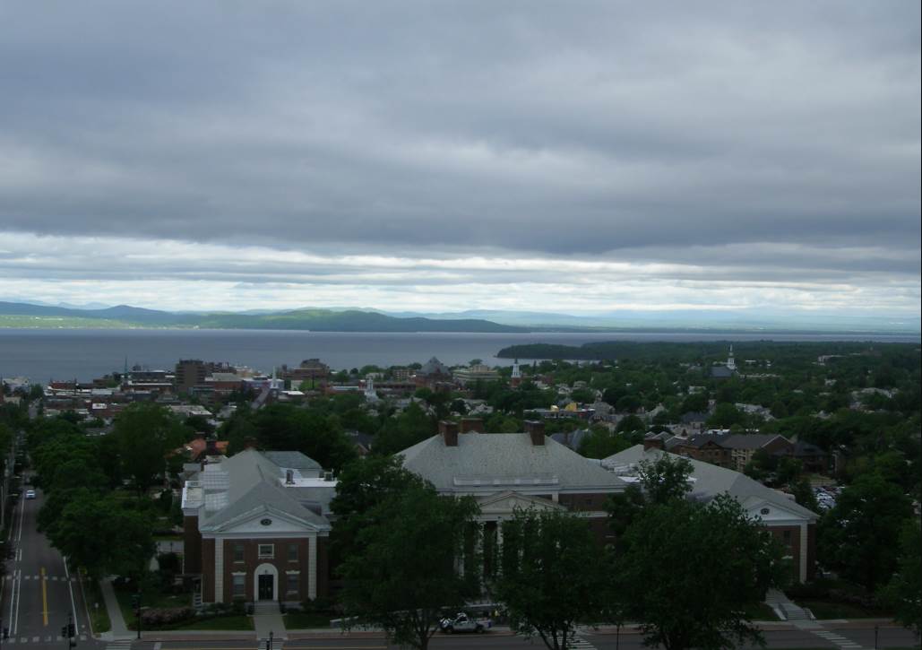
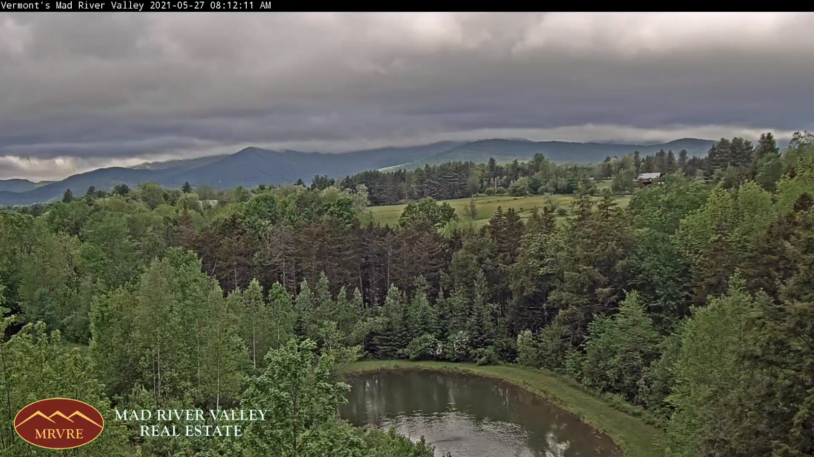
TODAY: An early sprinkle northern areas, then sunshine mixed with high clouds this afternoon. A bit blustery. A high 60 to 65. North to northwest winds 10 to 20 mph.
TONIGHT: Mostly clear partially moonlit skies gives way high cloudiness. A low mid-30s to around 40. Isolated frost possible northern hollows. Light north winds.
FRIDAY: Gray and rather chilly. Chance for light showers south of the Barre-Montpelier area in the afternoon. Rather cool. A high in the low to mid 50s. Light northwest winds.
Looking further ahead…
FRIDAY NIGHT:Cloudy. Chance for lingering showers southern areas. A low 35 to 40…coldest northern hollows.
SATURDAY: Gray skies early gives way to filtered sunshine through high clouds Dry but still cool. A high upper 50s to around 60.
SUNDAY: Sunshine then some afternoon clouds. Cool. A low mid-30s to around 40. A high around 65.
MONDAY MEMORIAL DAY OUTLOOK: Considerable cloudiness. Chance for showers. Partial clearing in the afternoon. A low around 45. A high around 65.
TUESDAY: Clouds mixing with periods of sun. A low 45 to 50. A high low to mid 70s.
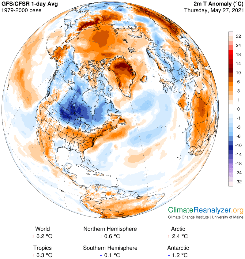
Average low mid-40s to around 50. Average highs upper 60s to lower 70s.
Start of Meteorological Summer June 6th… Summer peaks approx.. July 22nd based off local climatology.
RH/5-27forecast][end]
