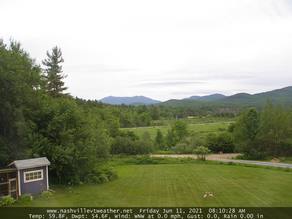
TODAY: Lots of sunshine. More clouds than sun this afternoon northern and central areas. Cool with a high 65 to around 70. Northwest breeze 10 to 15 mph.
TONIGHT: Mostly clear & cool, with isolated valley fog. A low around 45. Light southwest winds.
THURSDAY: Morning sunshine with more clouds in the afternoon. A high low to mid 70s. Light west winds.
Looking further ahead…
THURSDAY NIGHT: Mostly clear. Isolated valley fog. A low 45 to 50.
FRIDAY: Morning sunshine filtered through high clouds. Thickening clouds late. Warmer with a high near 80. Small threat for showers develops later Friday evening.
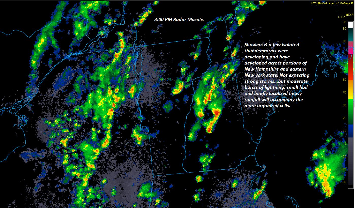
SATURDAY: Mixed sun and clouds. Chance for showers & scattered afternoon thunderstorms. A low around 60. A high mid-70s to near 80.
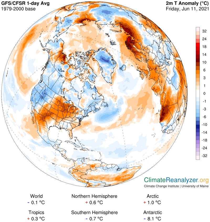
Summer Solstice 11:31 PM late Sunday Evening
SUNDAY Father’s Day: Patchy valley fog. Chance for a few lingering light showers far northern areas. Otherwise clouds mixing with periods of afternoon sunshine. A low around 55. A high near 75.
MONDAY: Partly sunny and turning warmer. A low around 55. A high near 80.
Average low in the low to mid 50s. Average highs in the mid-70s.
Meteorological summer peaks approx. July 22nd based off local climatology.
RH/6-15forecast][end]