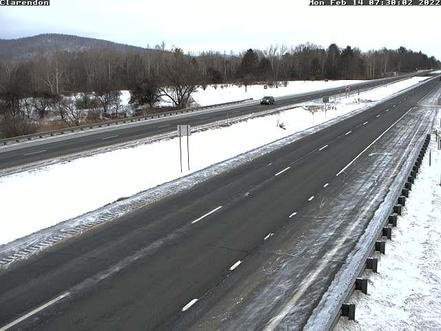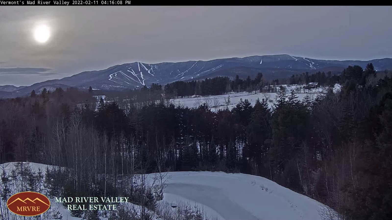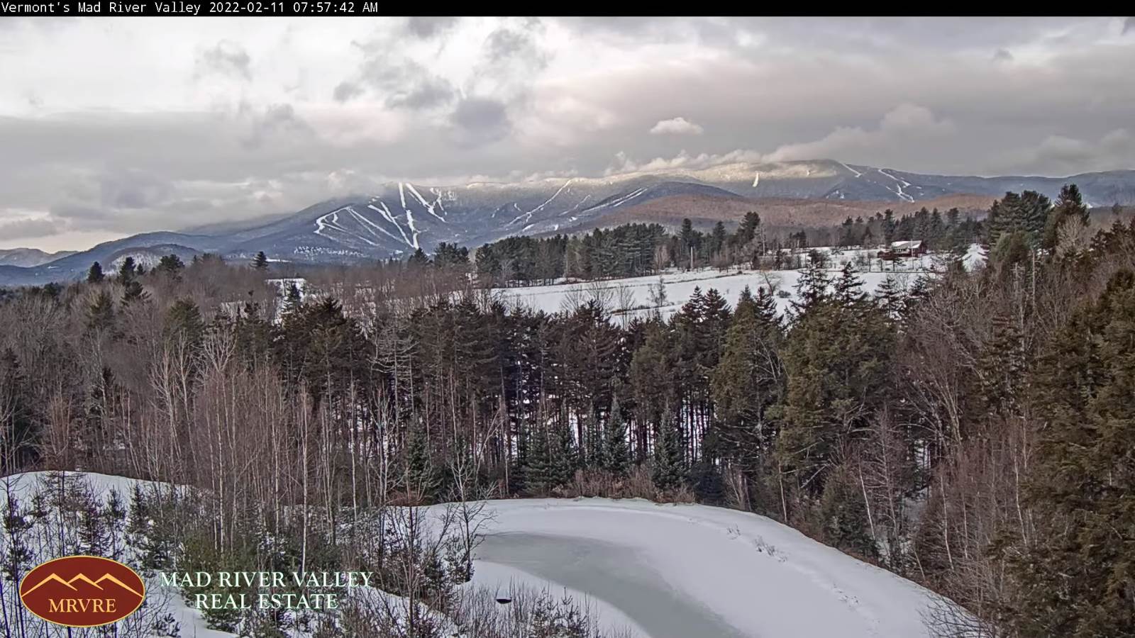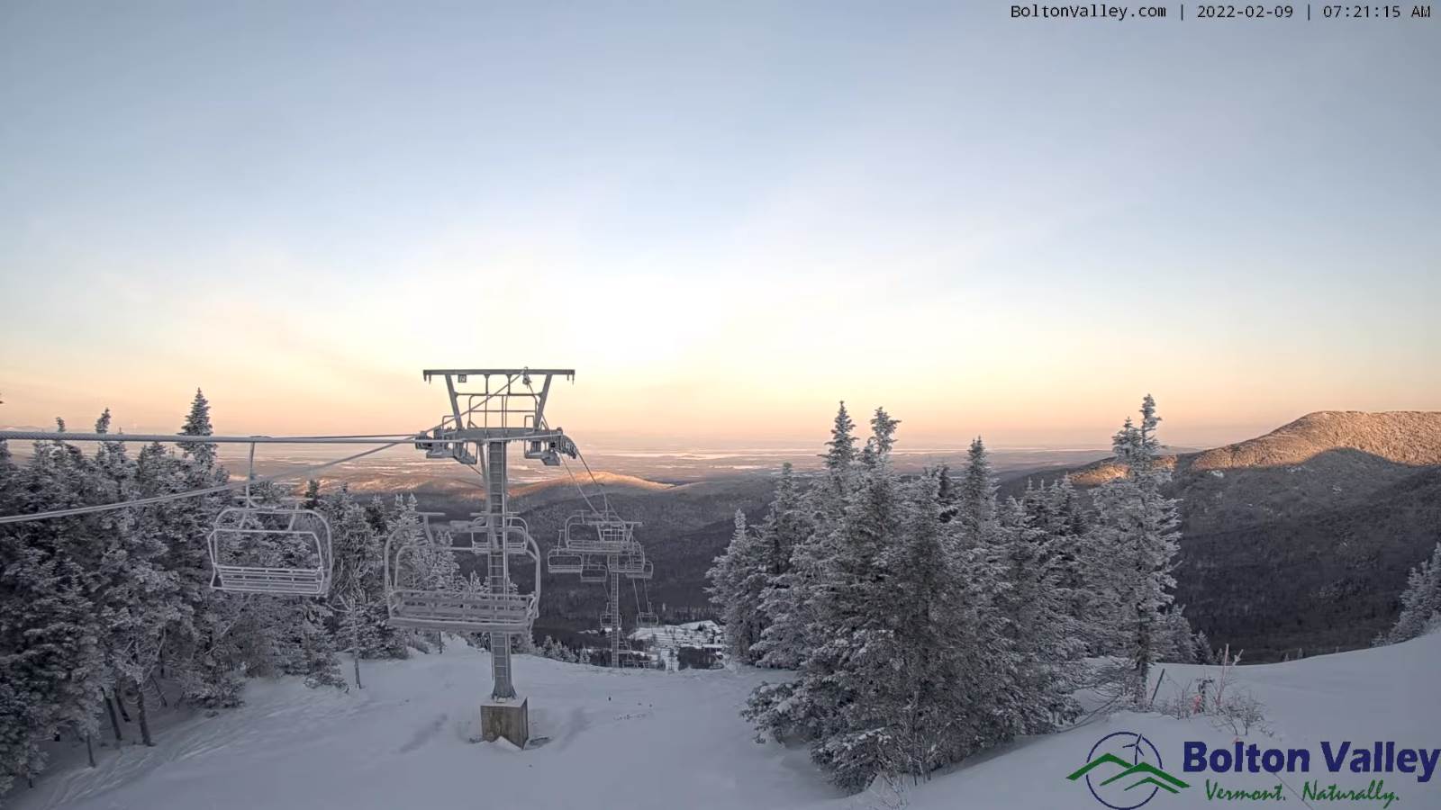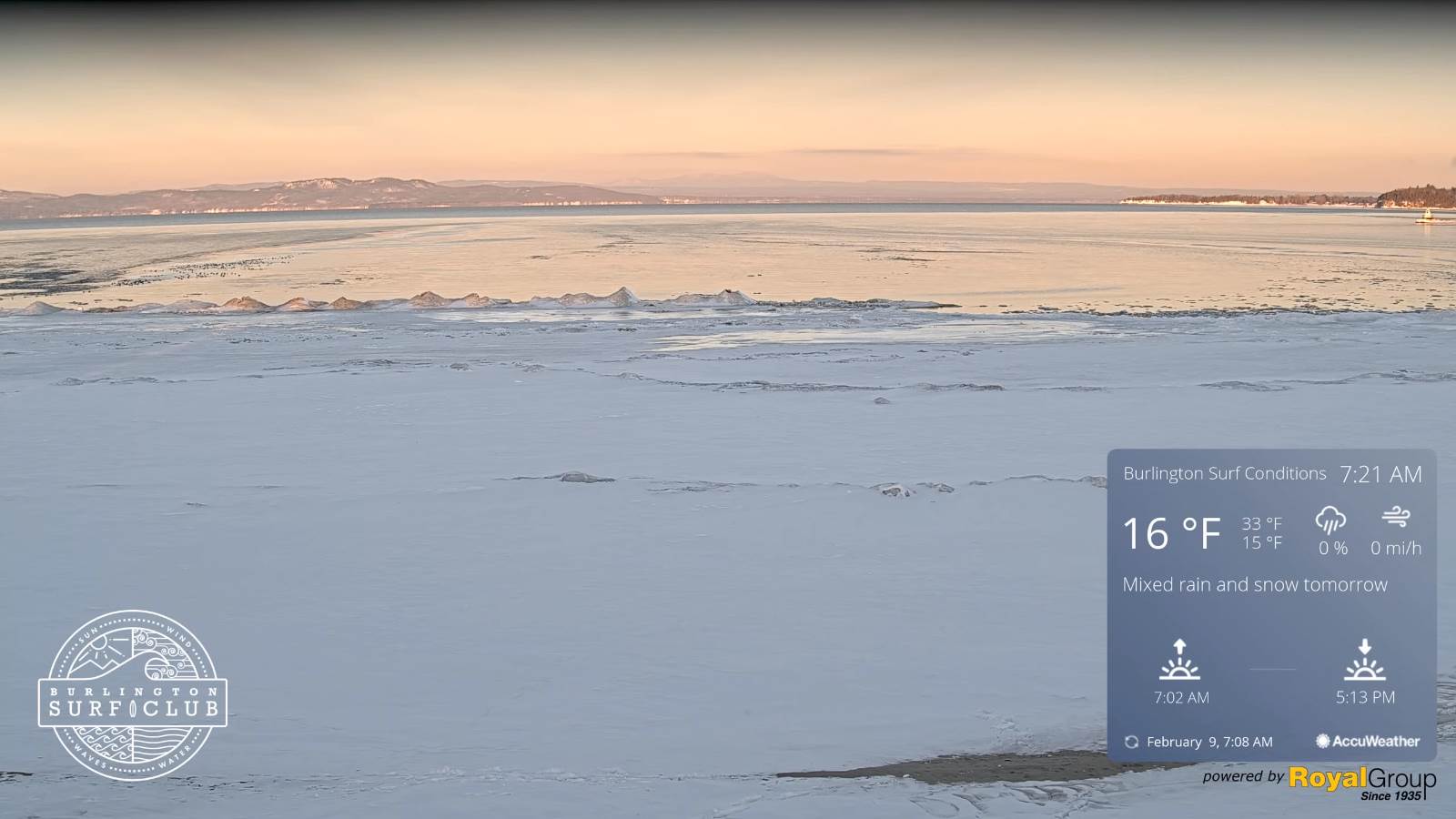
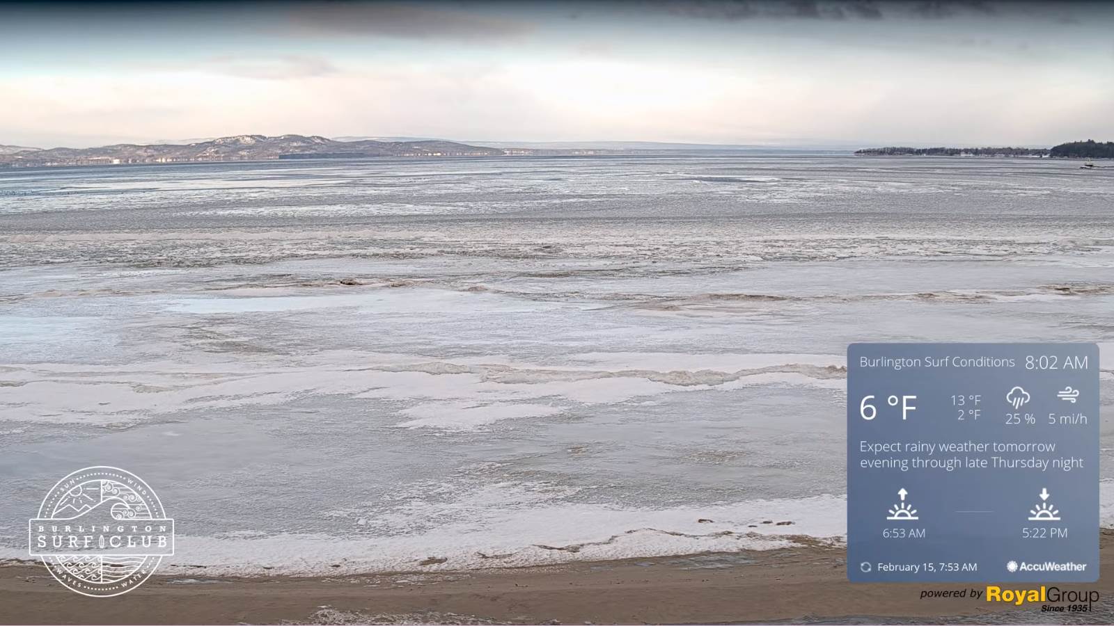
TODAY: Sunshine this morning then considerable cloudiness. Scattered flurries mainly northern areas with a dusting in spots. Not as cold. A high mid to upper teens. Winds becoming northwesterly 10 to 15 mph.
TONIGHT: Mostly clear, but clouding up overnight. A low 5 above to 5 below. Light southeast winds.

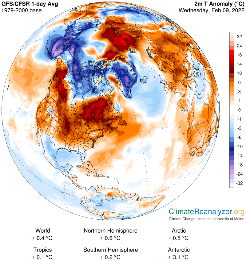
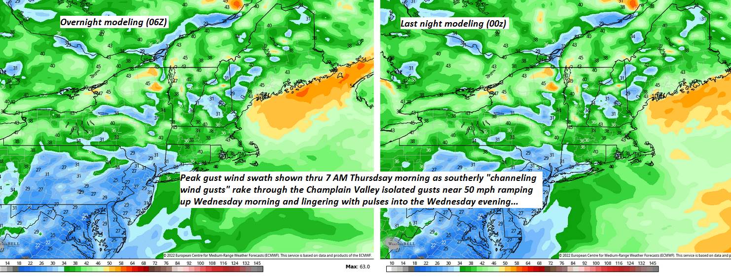
Wind Advisory Champlain Valley 10 AM thru 10 PM Full Snow Moon 11:57 AM Wednesday
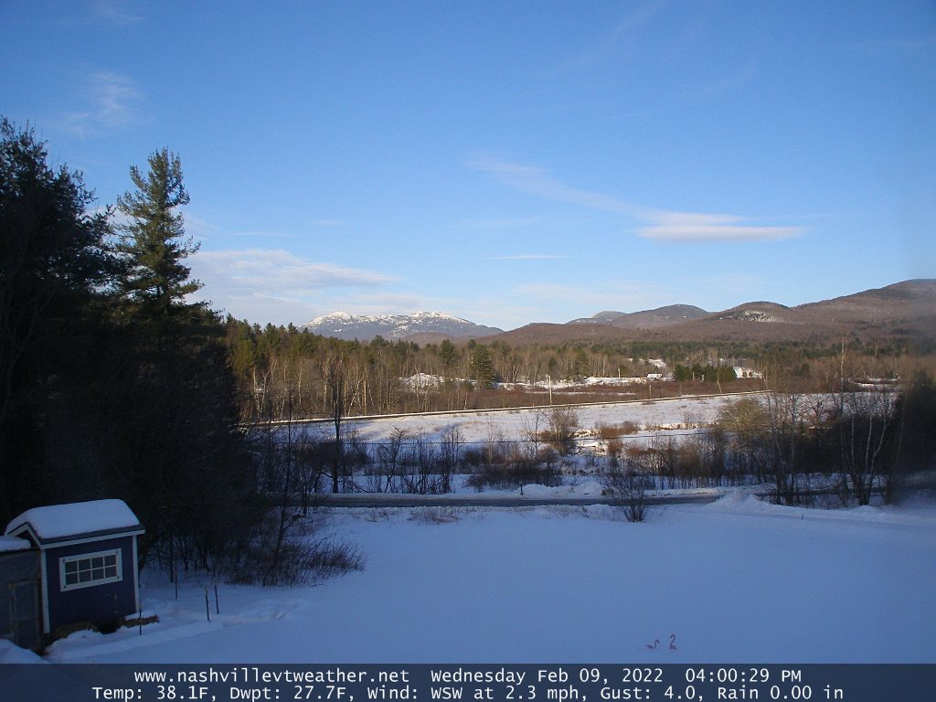
WEDNESDAY: Mainly cloudy. Breezy at times. A late day high in the mid-30s. South to southeast winds 10 to 25 mph with higher gusts northern hills.
Looking further ahead…
WEDNESDAY NIGHT: Thickening clouds and breezy. Chance for rain showers toward daybreak northern border. An evening low around 32, then temperatures rising into the 40s overnight.
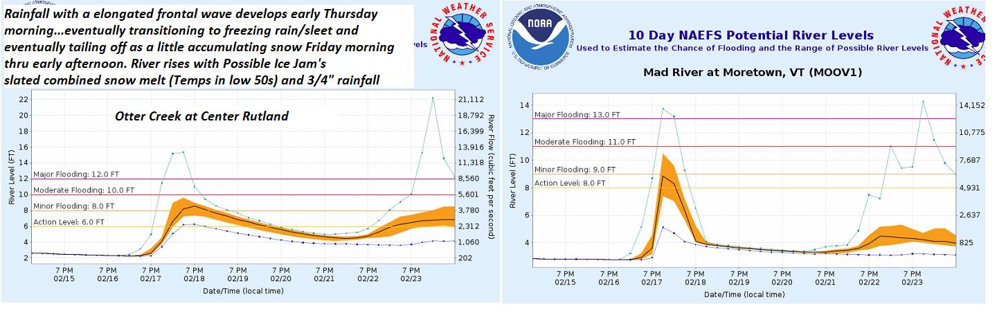
THURSDAY: Gray. Periods of rain developing…moderate at times. Temperatures rising thru the 40s to near 50 (possible sap run). Possible break up & ice jams on area rivers…
FRIDAY: A risk for freezing rain with some minor glazing early…changing to light accumulating snow or snow showers…with dusting to 2” thru early afternoon, then partial clearing sharply colder with potential for a “flash-freeze. Becoming frigid by days end, with temperatures falling in the single digits into the afternoon.
SATURDAY: Brief morning sunshine then mostly cloudy. Chance for light accumulating snow showers or flurries by mid-day. A low around zero to 5 above. A high near 30.
Average lows mid-single digits to low teens. Average highs ranging upper 20s to around 32.
End of Met. Winter March 9th
RH/2-15 forecast][end]